The best gravel rides around Condorrat
4.3
(4)
46
riders
10
rides
Gravel biking around Condorrat offers a diverse landscape for riders. The region features a network of former railway paths and canal towpaths, providing relatively flat and accessible routes. Beyond these, the terrain extends into more open areas like the Campsie Fells, characterized by scenic roads and elevated views. Riders can expect a mix of surfaces, from compacted gravel to more rugged paths, catering to various skill levels.
Best gravel bike trails around Condorrat
- The most popular gravel bike trail is…
Last updated: July 3, 2026
3.0
(1)
14
riders
Hard gravel ride. Very good fitness required. Mostly paved surfaces. Suitable for all skill levels.
3
riders
75.2km
05:33
1,490m
1,490m
Hard gravel ride. Very good fitness required. Mostly paved surfaces. Suitable for all skill levels.

Sign up for free
5.0
(1)
6
riders
Hard gravel ride. Very good fitness required. Mostly paved surfaces. Suitable for all skill levels.
4.0
(1)
4
riders
54.0km
03:10
430m
430m
Moderate gravel ride. Good fitness required. Mostly paved surfaces. Suitable for all skill levels.
5.0
(1)
5
riders
28.3km
01:48
260m
260m
Moderate gravel ride. Good fitness required. Mostly paved surfaces. Suitable for all skill levels.
Get access to more routes and recommendations from other explorers.
Sign up for free
Already have an account?
Our route recommendations are based on thousands of hikes, rides, and runs completed by other people on komoot.
Start today with a free account
Your next adventure awaits.
Login or Signup

Tips from the Community

Great way to get across Southern Scotland, nice and flat although some parts can get very bumpy with tree roots
0
1


A gravel track that follows the trail of the Katrine Aqueducts that brings Glasgow's drinking water all the way from the Trossachs to Milngavie. Look out for exposed sections of the aqueducts as you travel along, one section in particular has a date marker of 1892 visible from the track. Stunning views over the Kilpatrick Hills and you can always drop down to Glengoyne distillery for a wee dram on the way past!
1
0


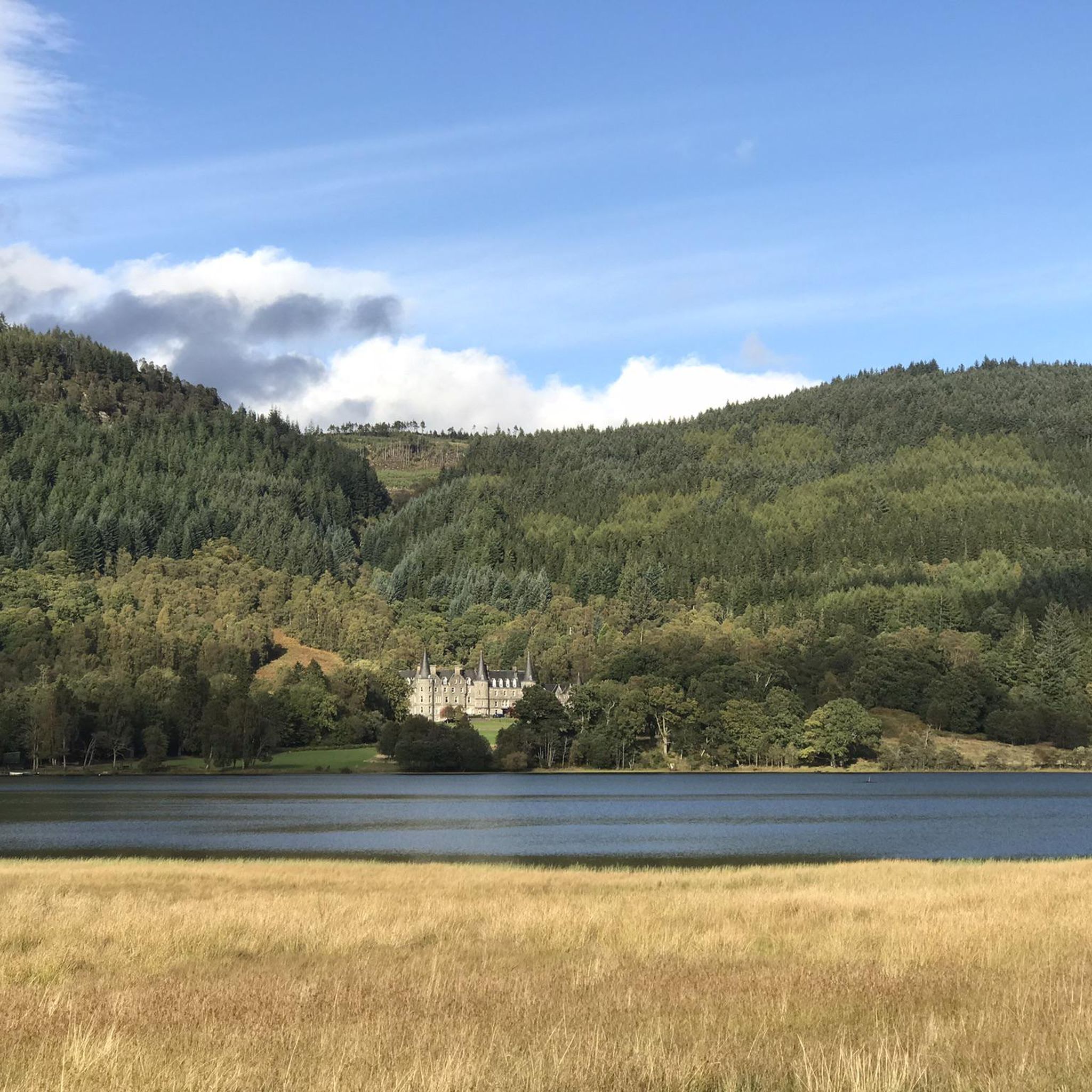
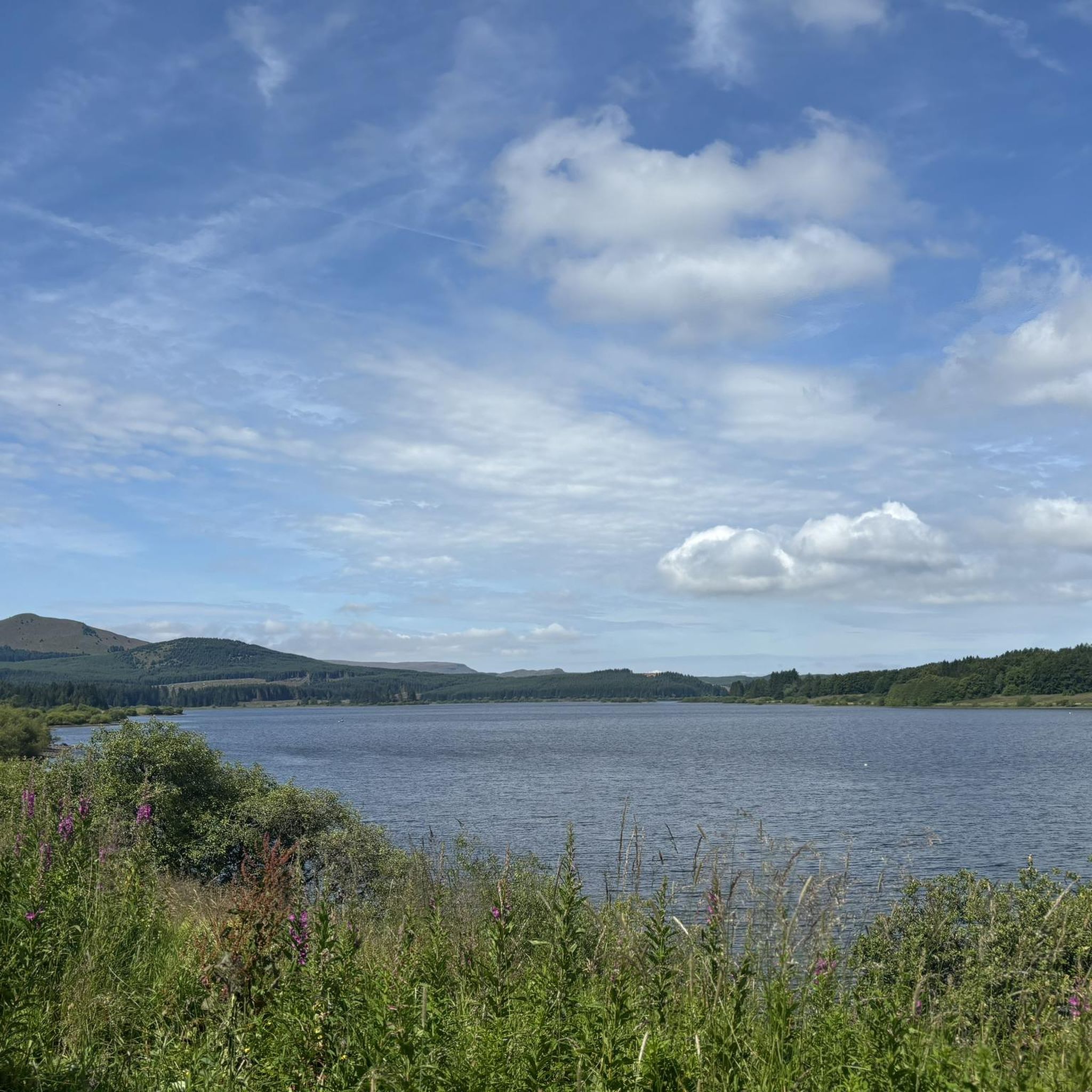
Hilly and forests all around, up and down contour of the land. Some of the views are worthy of riding around this location. There are plenty of parking areas along the main road towards the reservoir. There is also a large house that offers accommodation on the north west side of the reservoir. This is a tranquil location just a few miles from Stirling
0
0

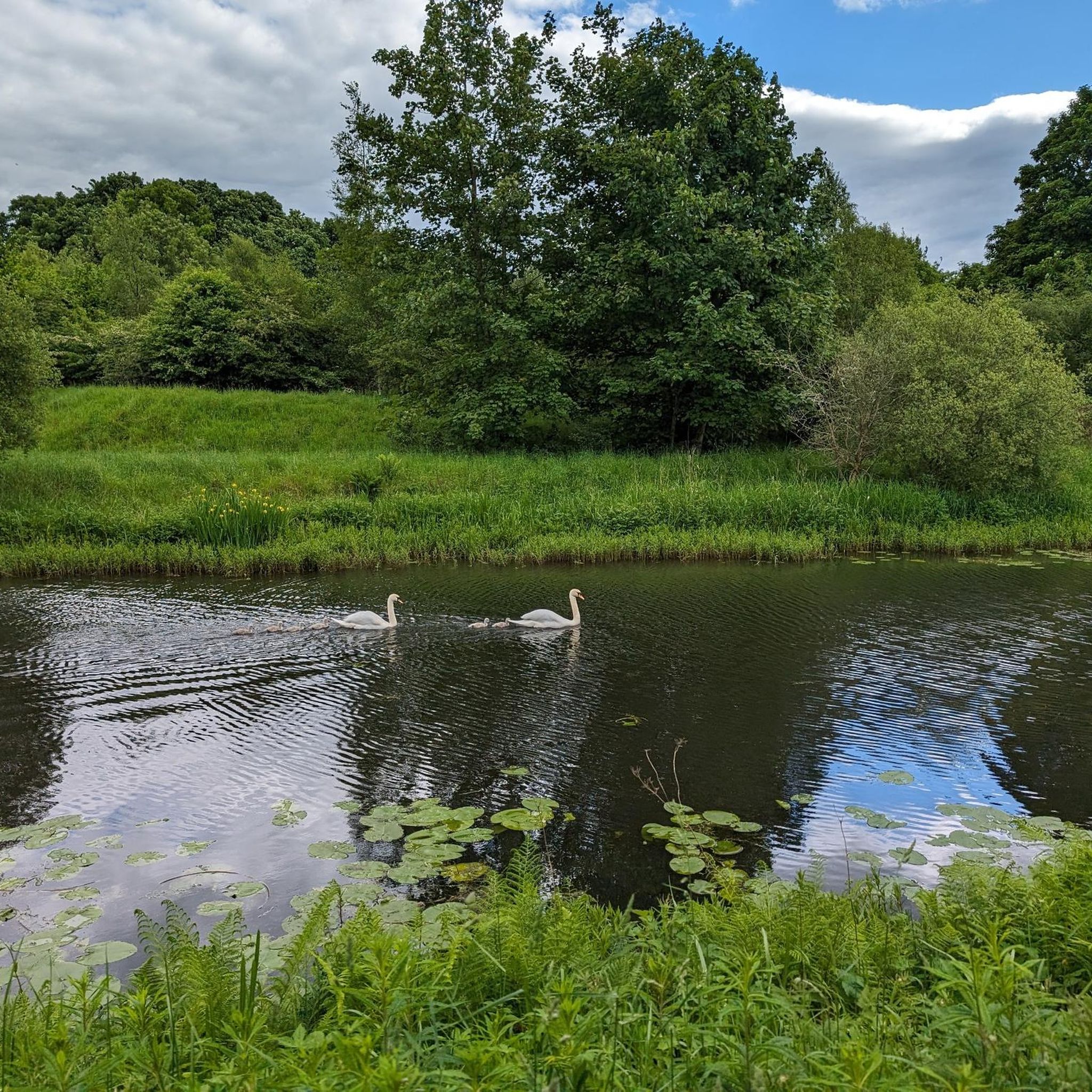
Once you get out of Kirkie, the path is quiet. It's a lovely cycle with lots to see.
0
0

Beautiful route, but quiet only in parts, there are some particularly challenging and dangerous intersections and roundabouts when there is heavy traffic.
0
0

Frequently Asked Questions
How many gravel bike trails are available around Condorrat?
There are over 15 gravel bike trails documented on komoot for the Condorrat area, offering a variety of experiences for different skill levels. You'll find a mix of moderate and difficult routes to explore.
Are there any easy or beginner-friendly gravel bike trails in Condorrat?
While many routes around Condorrat are rated moderate to difficult due to distance or elevation, the region's canal towpaths and former railway lines generally offer flatter, more accessible sections. For a moderate option, consider the Forth and Clyde Canal – View of Auchinstarry Marina loop from Lenzie, which covers 28.4 km.
What kind of terrain can I expect on Condorrat's gravel trails?
The gravel trails around Condorrat feature a diverse landscape. You'll encounter a network of former railway paths and canal towpaths, which are typically relatively flat and accessible. Beyond these, routes extend into more open areas like the Campsie Fells, offering scenic roads and elevated views with a mix of compacted gravel and more rugged paths.
Are there any challenging gravel bike routes for experienced riders?
Yes, Condorrat offers several challenging routes. For a demanding ride with significant elevation, the View from the Commondry – Old Drove Road loop from Kilsyth is a difficult 74.9 km path that follows historical drove roads and provides expansive views from elevated positions.
Can I find circular gravel bike routes in Condorrat?
Many of the gravel bike routes in Condorrat are designed as loops, allowing you to start and finish at the same point. An example is the Tak-Ma-Doon Road – Campsie Fells Scenic Road loop from Tak Ma Doon Road Viewing and Picnic Area, a 34.1 km difficult route with scenic views.
Are there long-distance gravel bike routes available?
Absolutely. For those looking for a longer ride, the Strathkelvin Railway Path – Strathkelvin Railway Path loop from Blairhill is a substantial 81.0 km trail, often completed in about 6 hours. Another long option is the Forth and Clyde Canal Towpath – Craigallian Loch loop from Lenzie, which spans 53.5 km.
What are some scenic gravel biking routes around Condorrat?
The region is known for its scenic beauty. Routes through the Campsie Fells, such as the Tak-Ma-Doon Road – Campsie Fells Scenic Road loop, offer panoramic views. Additionally, paths along the Forth and Clyde Canal provide pleasant waterside scenery.
Are there any attractions or points of interest along the gravel bike trails?
Yes, the area around Condorrat is rich in points of interest. You can cycle past historical sites like the Croy Hill Roman Fort or the Bar Hill Roman Fort. Natural highlights include Colzium Waterfall and several lochs such as Lochend Loch and Fannyside Lochs.
What do other gravel bikers say about the trails in Condorrat?
The gravel biking routes in Condorrat are highly rated by the komoot community, with an average score of 4.5 stars from over 4 reviews. More than 60 gravel bikers have used komoot to explore the varied terrain, often praising the diverse landscapes, from canal towpaths to scenic Fells roads.
Are there any routes suitable for families?
For families, the flatter sections along the canal towpaths and former railway lines are generally most suitable. These paths offer a safer and less strenuous environment away from traffic. While specific 'family-friendly' routes are not explicitly listed, look for routes described as following these types of paths for a gentler experience.
What is the best time of year to go gravel biking in Condorrat?
Gravel biking in Condorrat can be enjoyed year-round, but the best time often depends on your preference. Spring and autumn offer pleasant temperatures and beautiful scenery. Summer provides longer daylight hours, while winter rides can be invigorating, though some paths might be muddier or require more robust tires.
Are there any routes that pass by waterfalls?
Yes, if you're interested in seeing waterfalls, you can plan your route to include a visit to Colzium Waterfall. While not directly on every gravel route, it's a notable highlight in the Condorrat area that can be incorporated into a ride.
Most popular attractions around Condorrat

Get inspired with the komoot mobile app


Explore more
Browse the best Gravel rides in other regions.
