The best gravel rides around Central Coatbridge
4.7
(3)
34
riders
5
rides
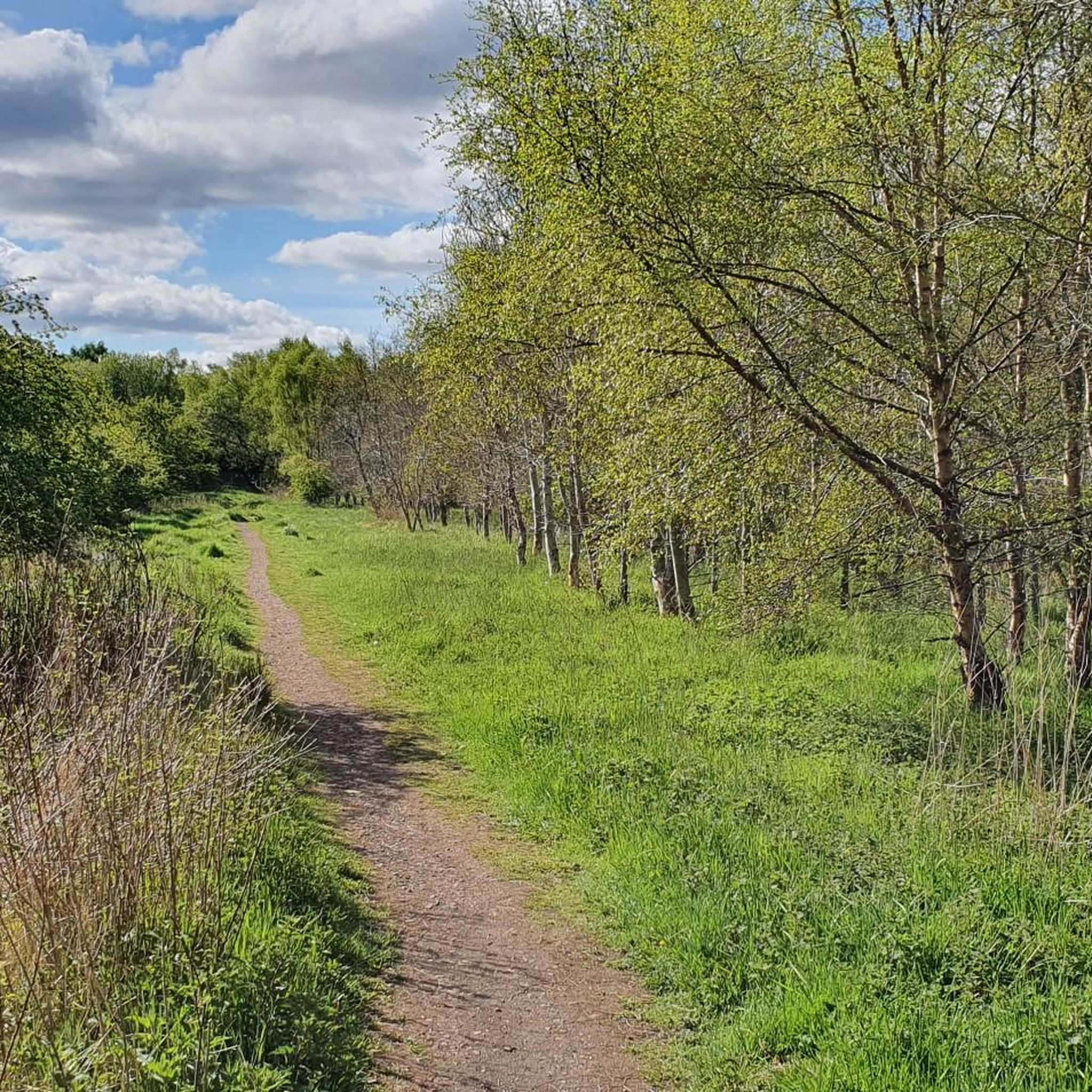
Gravel biking around Central Coatbridge offers routes that traverse a landscape shaped by waterways, historical sites, and former railway lines. The region features a network of paths along canals and converted railway paths, providing varied terrain for gravel cyclists. These routes often connect urban fringes with more open countryside, passing by lochs and historical structures. The elevation changes are generally moderate, with some routes featuring more significant climbs.
Best gravel bike trails around Central Coatbridge
- The most popular gravel bike…
Last updated: July 3, 2026
5
riders
38.7km
02:36
400m
400m
Moderate gravel ride. Good fitness required. Mostly paved surfaces. Suitable for all skill levels.
5.0
(1)
6
riders
Hard gravel ride. Very good fitness required. Mostly paved surfaces. Suitable for all skill levels.

Sign up for free
4.0
(1)
4
riders
54.0km
03:10
430m
430m
Moderate gravel ride. Good fitness required. Mostly paved surfaces. Suitable for all skill levels.
5.0
(1)
5
riders
28.3km
01:48
260m
260m
Moderate gravel ride. Good fitness required. Mostly paved surfaces. Suitable for all skill levels.
2
riders
30.4km
01:46
170m
170m
Moderate gravel ride. Good fitness required. Mostly paved surfaces. Suitable for all skill levels.
Our route recommendations are based on thousands of hikes, rides, and runs completed by other people on komoot.
Start today with a free account
Your next adventure awaits.
Login or Signup

Tips from the Community

Great walk, white bridge currently closed
0
0

Great way to get across Southern Scotland, nice and flat although some parts can get very bumpy with tree roots
0
1


A gravel track that follows the trail of the Katrine Aqueducts that brings Glasgow's drinking water all the way from the Trossachs to Milngavie. Look out for exposed sections of the aqueducts as you travel along, one section in particular has a date marker of 1892 visible from the track. Stunning views over the Kilpatrick Hills and you can always drop down to Glengoyne distillery for a wee dram on the way past!
1
0


Once you get out of Kirkie, the path is quiet. It's a lovely cycle with lots to see.
0
0

The trails around Bishop Loch can become quite boggy after rain so be prepared for some hike-a-bike sections. The scenery is beautiful though with abundant wildlife throughout the area.
1
0

Beautiful route, but quiet only in parts, there are some particularly challenging and dangerous intersections and roundabouts when there is heavy traffic.
0
0
Frequently Asked Questions
What kind of terrain can I expect on gravel bike trails around Central Coatbridge?
The gravel bike trails in Central Coatbridge primarily follow canal towpaths, former railway lines, and paths connecting local lochs. This provides a varied terrain, often connecting urban fringes with more open countryside. While elevation changes are generally moderate, some routes do feature more significant climbs.
Are there gravel bike routes suitable for beginners in Central Coatbridge?
Yes, Central Coatbridge offers routes suitable for beginners. There are at least two easy-rated gravel bike tours available. A good option for those starting out is the Forth and Clyde Canal – View of Auchinstarry Marina loop from Lenzie, which is 17.6 miles (28.4 km) long and follows canal towpaths.
What are some challenging gravel bike routes for experienced riders?
For experienced gravel bikers seeking a challenge, Central Coatbridge has at least two difficult-rated routes. The Strathkelvin Railway Path – Strathkelvin Railway Path loop from Blairhill is a demanding 50.3 miles (81.0 km) route that follows a former railway line, offering a long-distance experience. Another challenging option is the Forth and Clyde Canal Towpath – Craigallian Loch loop from Lenzie, covering 53.5 km.
Are there any circular gravel bike routes in the area?
Many of the gravel bike routes around Central Coatbridge are designed as loops, allowing you to start and finish in the same location. Examples include the popular Cambusnethan Priory – Hamilton Mausoleum loop from New Stevenston and the Bishop Loch – Lochend Loch loop from Lenzie.
What kind of historical sites or natural landmarks can I see along the gravel trails?
The routes often pass by significant historical sites and natural landmarks. You can explore areas near Croy Hill Roman Fort or Bar Hill Roman Fort. Many trails also lead past beautiful lochs such as Lochend Loch and the Fannyside Lochs.
What do other gravel bikers say about the trails in Central Coatbridge?
The gravel biking routes in Central Coatbridge are highly regarded by the komoot community, holding an average rating of 5.0 stars from 5 reviews. Over 60 gravel bikers have used komoot to explore the varied terrain, often praising the well-maintained paths along canals and former railway lines, and the connection to historical sites.
Are there any routes that connect to other towns or areas?
Yes, many routes utilize the extensive network of canal towpaths and former railway lines, which historically connected various towns. These paths often allow for longer rides that link Central Coatbridge with surrounding areas, offering a sense of journey and exploration beyond the immediate vicinity.
What is the best time of year to go gravel biking in Central Coatbridge?
Gravel biking in Central Coatbridge is enjoyable throughout much of the year. Spring and autumn offer pleasant temperatures and vibrant scenery. Summer provides longer daylight hours, while winter rides can be crisp and quiet, though some paths might be muddier or require more robust tires due to weather conditions.
Are there any facilities like cafes or places to stop for refreshments along the routes?
While specific cafes directly on every trail are not guaranteed, many routes pass through or near towns and villages where you can find refreshment stops. For example, the Forth and Clyde Canal – View of Auchinstarry Marina loop from Lenzie passes by Auchinstarry Marina, which may offer facilities. Additionally, the Waterfront Café at Strathclyde Country Park is a notable spot near some routes.
How many gravel bike trails are available in Central Coatbridge?
There are over 10 distinct gravel bike trails available for exploration in Central Coatbridge, offering a range of distances and difficulties to suit various preferences and skill levels.
Can I reach the trailheads using public transport?
Many of the gravel bike routes in Central Coatbridge start from locations that are accessible by public transport, particularly those beginning in or near towns like New Stevenston, Blairhill, or Lenzie. It's advisable to check local bus and train schedules for the most convenient access points to your chosen trailhead.
What are the typical distances for gravel bike rides in this region?
Gravel bike rides in Central Coatbridge vary significantly in length. You can find shorter routes, such as the Forth and Clyde Canal – View of Auchinstarry Marina loop from Lenzie at 28.4 km (17.6 miles), up to much longer, more challenging tours like the Strathkelvin Railway Path – Strathkelvin Railway Path loop from Blairhill, which spans 81.0 km (50.3 miles).
Most popular routes around Central Coatbridge
Most popular attractions around Central Coatbridge

Get inspired with the komoot mobile app


Explore more
Browse the best Gravel rides in other regions.
