The best gravel rides around Maryhill And Summerston
4.1
(43)
550
riders
38
rides
Gravel biking around Maryhill And Summerston offers a diverse landscape characterized by historic waterways, river valleys, and accessible natural features. The area features the Forth and Clyde Canal and the River Kelvin, providing green corridors for cycling. Proximity to lochs like Mugdock and Craigallian, and the distant Campsie Fells, adds varied terrain options. This region provides a mix of flat towpaths and more challenging routes with elevation changes.
Best gravel bike trails around Maryhill And Summerston
- The most popular gravel bike trail is Craigallian Loch – Burncrooks Reservoir loop from Bearsden, a 37.4 miles (60.2 km) trail that takes 5 hours 10 minutes to complete. This difficult route explores scenic lochs and reservoirs, offering varied surfaces.
- Another top favourite among local gravel bikers is Stockingfield Junction Bridge – Stockingfield Bridge loop from Kelvinbridge, a difficult 28.9 miles (46.5 km) path. This route follows sections of the Forth and Clyde Canal and River Kelvin, featuring mixed terrain.
- Local gravel bikers also love the John Muir Way Gravel Descent – Craigallian Loch loop from Westerton, a 30.7 miles (49.5 km) trail leading through varied landscapes including the John Muir Way, often completed in about 3 hours 15 minutes.
- Gravel biking around Maryhill And Summerston is defined by historic canal towpaths, river valleys, and routes extending towards lochs and the Campsie Fells. The network offers options for different ability levels, from easier sections along waterways to more challenging climbs.
- The routes in Maryhill And Summerston are highly rated by the komoot community with an average score of 4.2 stars from over 30 reviews. More than 500 gravel bikers have used komoot to explore Maryhill And Summerston's varied terrain.
Last updated: August 27, 2026
4.5
(2)
45
riders
60.5km
03:57
710m
710m
Hard gravel ride. Very good fitness required. Mostly paved surfaces. Suitable for all skill levels.
4.4
(7)
49
riders
Hard gravel ride. Very good fitness required. Mostly paved surfaces. Suitable for all skill levels.

Sign up for free
70
riders
49.5km
03:16
570m
570m
Hard gravel ride. Very good fitness required. You may need to push your bike for some segments of this route.
3.3
(3)
9
riders
34.0km
02:27
500m
500m
Hard gravel ride. Very good fitness required. Mostly paved surfaces. Suitable for all skill levels.
5.0
(2)
27
riders
30.4km
01:58
400m
400m
Moderate gravel ride. Good fitness required. Mostly paved surfaces. Suitable for all skill levels.
Get access to more routes and recommendations from other explorers.
Sign up for free
Already have an account?
Our route recommendations are based on thousands of hikes, rides, and runs completed by other people on komoot.
Start today with a free account
Your next adventure awaits.
Login or Signup
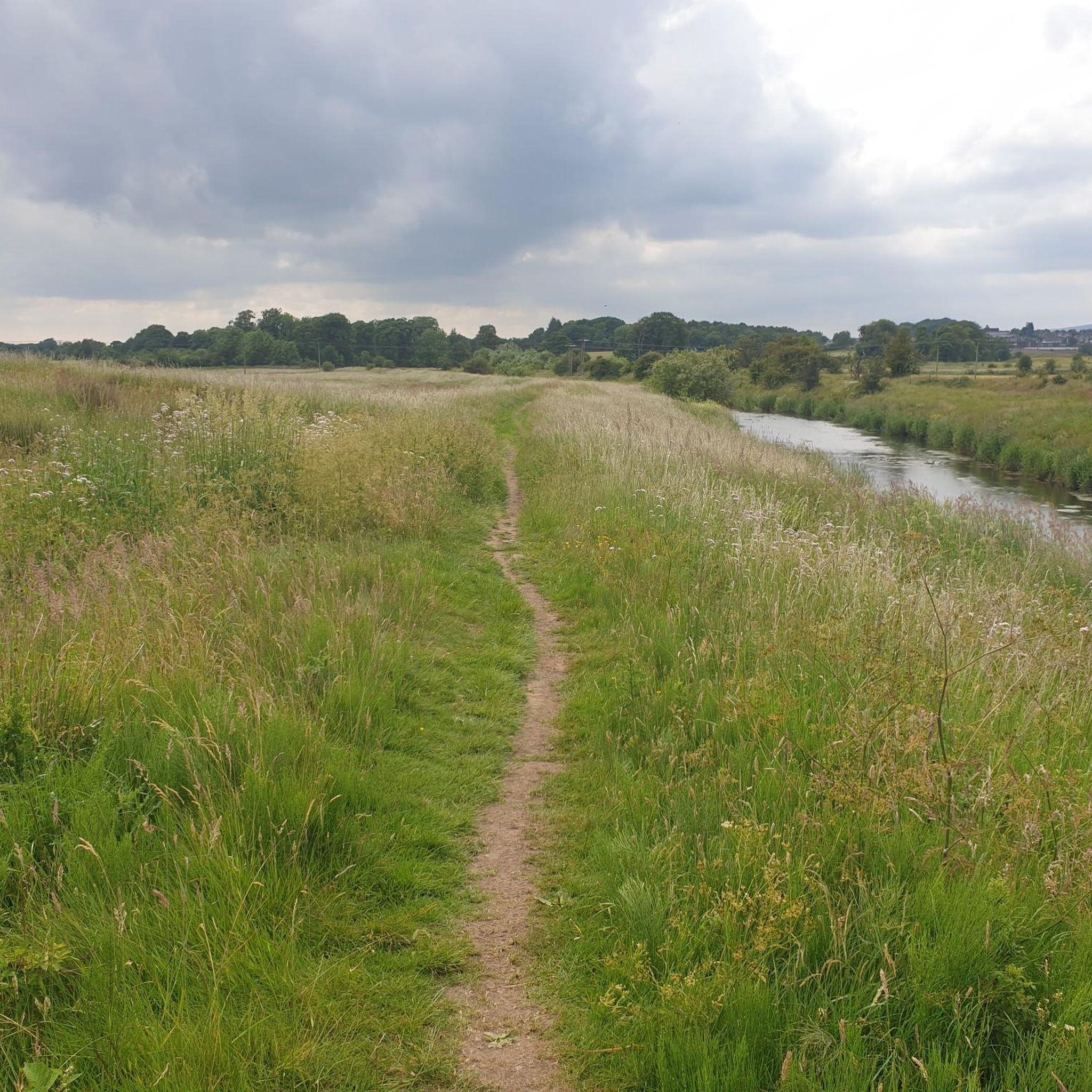
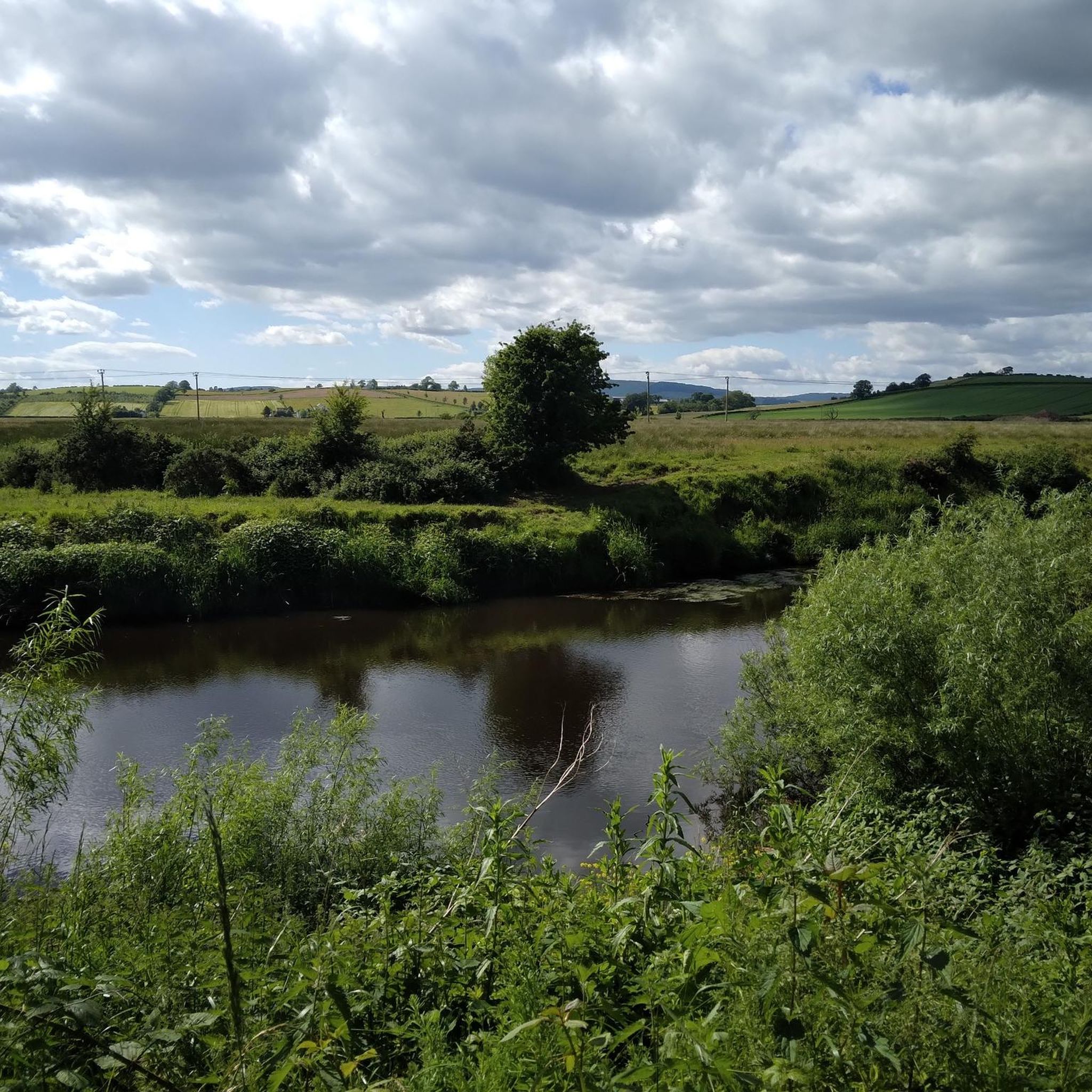
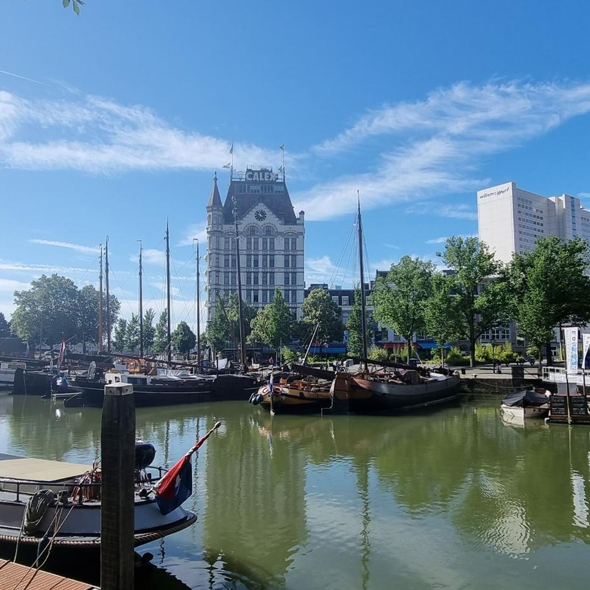
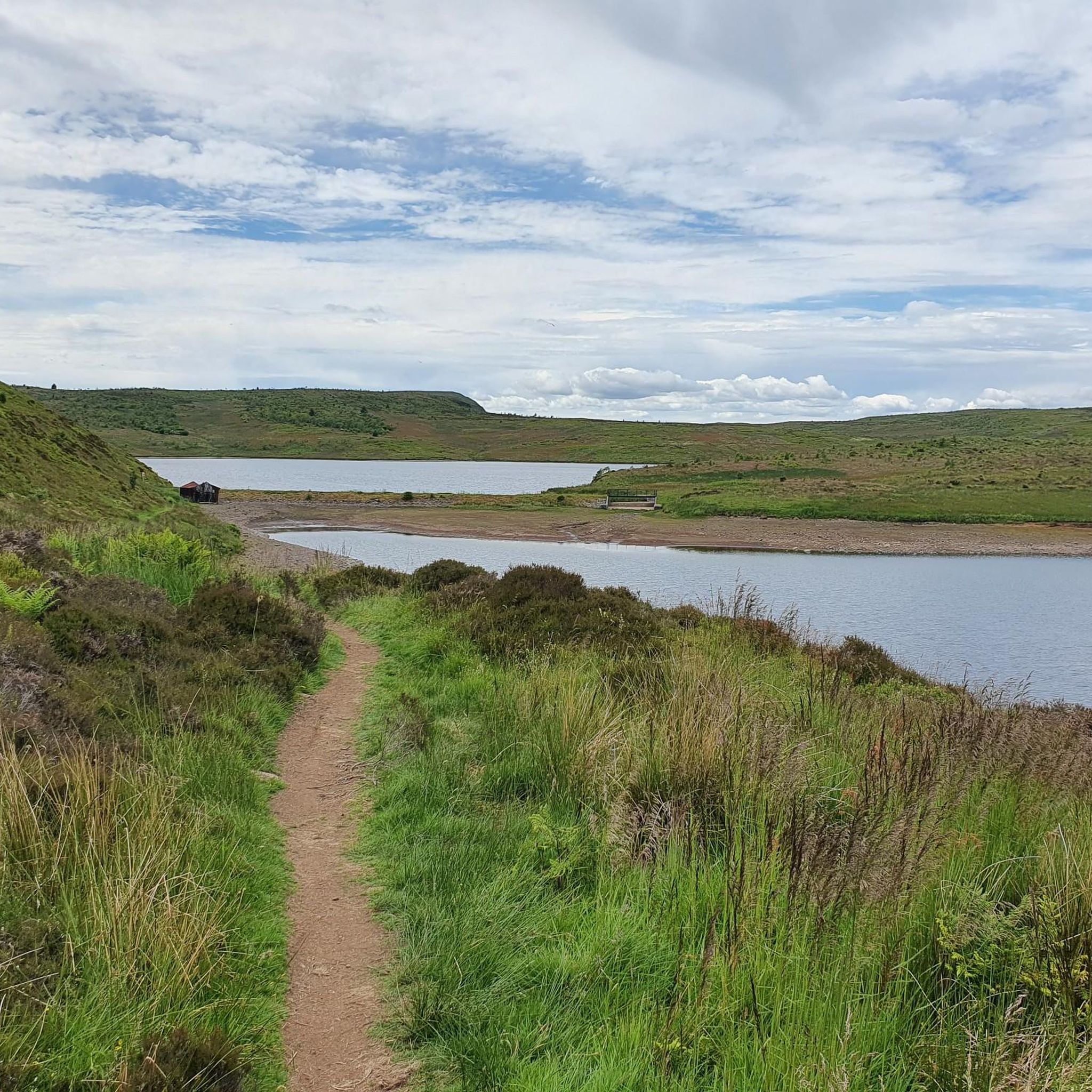
Tips from the Community


One of the most interesting bridges I've ever seen—in my opinion, an architectural masterpiece, magnificent..👍👍
1
0
Cycling along a canal has always been our thing... The old towpaths are being integrated into the cycle paths, which for us cyclists means always cycling along the water.
0
0

The ruined remains of Lennox Castle. Originally built in ~1840 as a private property it was sold to The Glasgow Corporation (predecessor to the City Council) in 1927 and turned into a hospital for those with learning difficulties. In the 1940's-60's it also operated as a maternity home, and was the birth place of singer Lulu. It closed in 2002 and unfortunately was subject to a fire in 2008 which left it in its current state.
1
0
A gravel track that follows the trail of the Katrine Aqueducts that brings Glasgow's drinking water all the way from the Trossachs to Milngavie. Look out for exposed sections of the aqueducts as you travel along, one section in particular has a date marker of 1892 visible from the track. Stunning views over the Kilpatrick Hills and you can always drop down to Glengoyne distillery for a wee dram on the way past!
1
0


The Forth and Clyde Canal was constructed in 1790. It was successful initially but closed in the 1960s. Today it's a leisure destination with a brilliant towpath making an ideal cycling outing.
1
0

Stockingfield Junction is a spot along the canal between Maryhill and Ruchill in Glasgow, Scotland. It first opened back in 1777, closed in 1963, and was later restored and reopened in 2022. Originally, it served as a terminus before becoming the junction for the Port Dundas branch off the main line of the Forth and Clyde Canal from 1777.
4
1
Frequently Asked Questions
How many gravel bike trails are available around Maryhill and Summerston?
There are over 45 gravel bike trails in the Maryhill and Summerston area, offering a wide range of options for different skill levels and preferences. The komoot community has explored these routes over 500 times.
What kind of terrain can I expect on gravel bike trails in Maryhill and Summerston?
The terrain is quite varied, characterized by historic waterways, river valleys, and accessible natural features. You'll find mixed surfaces, from mostly paved sections along the Forth and Clyde Canal Towpath to unpaved and more challenging segments. Routes often incorporate sections along the River Kelvin and can extend towards lochs and the scenic Campsie Fells, offering both flat towpaths and routes with significant elevation changes.
Are there family-friendly gravel biking options in Maryhill and Summerston?
Yes, the area offers options suitable for families. The Forth and Clyde Canal Towpath, for instance, provides good straights and class scenery, with many sections being mostly paved and suitable for all skill levels. These flatter, less technical routes along the waterways are ideal for a more relaxed family outing.
What natural features or historical sites can I see along the gravel bike trails?
Many routes incorporate significant natural and historical features. You can cycle along the historic Forth and Clyde Canal, passing impressive canal locks and the ancient Kelvin Aqueduct. The River Kelvin valley offers a peaceful green corridor. Further afield, you might encounter sites like Mugdock Castle and Craigallian Loch, both rich in history and natural beauty. The Antonine Wall, a Roman fort site, also runs through the Maryhill Park area.
Are there any circular gravel bike routes in the area?
Yes, many of the gravel routes around Maryhill and Summerston are designed as loops. For example, you can explore the Craigallian Loch – Burncrooks Reservoir loop from Bearsden, or the Stockingfield Junction Bridge – Stockingfield Bridge loop from Kelvinbridge which follows sections of the Forth and Clyde Canal and River Kelvin. Another popular option is the John Muir Way Gravel Descent – Craigallian Loch loop from Westerton.
What is the best time of year for gravel biking in Maryhill and Summerston?
While gravel biking is possible year-round, spring and autumn generally offer the most pleasant conditions with milder temperatures and beautiful scenery. Summer can be great, but be prepared for potentially busier trails, especially along popular canal sections. Winter riding is possible, but some unpaved sections might be muddy or icy, requiring appropriate gear and caution.
Where can I find parking or access trails via public transport?
Maryhill and Summerston are well-connected within Glasgow. Many routes are accessible from urban areas, making public transport a viable option to reach starting points. For those driving, various local parks and trailheads may offer parking, though it's always advisable to check specific route details for designated parking areas.
What are some of the more challenging gravel routes for experienced riders?
For experienced riders seeking a challenge, routes extending towards the Campsie Fells offer demanding climbs and expansive views. The Craigallian Loch – Burncrooks Reservoir loop from Bearsden is a difficult 37.4-mile trail with over 700 meters of elevation gain, exploring scenic lochs and reservoirs with varied surfaces. Another difficult option is the Stockingfield Junction Bridge – Stockingfield Bridge loop from Kelvinbridge, covering 28.9 miles with significant elevation.
Are there any routes that offer good viewpoints or scenic vistas?
Absolutely. Routes that venture towards the Campsie Fells are known for rewarding riders with spectacular vistas. The Forth and Clyde Canal Towpath offers picturesque views of the waterway and surrounding green spaces. Additionally, the View of Glasgow – Mugdock Castle loop from Hillfoot is a moderate route that provides scenic views, including glimpses of Glasgow, and passes by historic Mugdock Castle.
What do other gravel bikers enjoy most about the trails in Maryhill and Summerston?
The area is highly rated by the komoot community, with an average score of 4.2 stars from over 30 reviews. Riders often praise the diverse landscape, which blends historic waterways with accessible natural features. The mix of flat towpaths and more challenging routes extending towards lochs and the Campsie Fells is frequently highlighted, offering something for various ability levels.
Can I find routes that pass through wooded areas or natural reserves?
Yes, the region is rich in green spaces and natural habitats. The River Kelvin valley provides a peaceful, sunken green corridor, and routes often pass through areas like Maryhill Park. The Mugdock Woods – Craigallian Loch loop from Hillfoot is a great example, taking you through Mugdock Woods and past the atmospheric Craigallian Loch, which is known for its tranquil natural setting.
Are there any specific routes that follow the John Muir Way?
Yes, there is a notable route that incorporates a section of the John Muir Way. The John Muir Way Gravel Descent – Craigallian Loch loop from Westerton is a 30.7-mile trail that leads through varied landscapes, including a part of the John Muir Way, offering a diverse gravel biking experience.
Most popular routes around Maryhill And Summerston
Most popular attractions around Maryhill And Summerston

Get inspired with the komoot mobile app


Explore more
Browse the best Gravel rides in other regions.
