The best gravel rides in Krausenbacher Forst
4.5
(18)
91
riders
16
rides
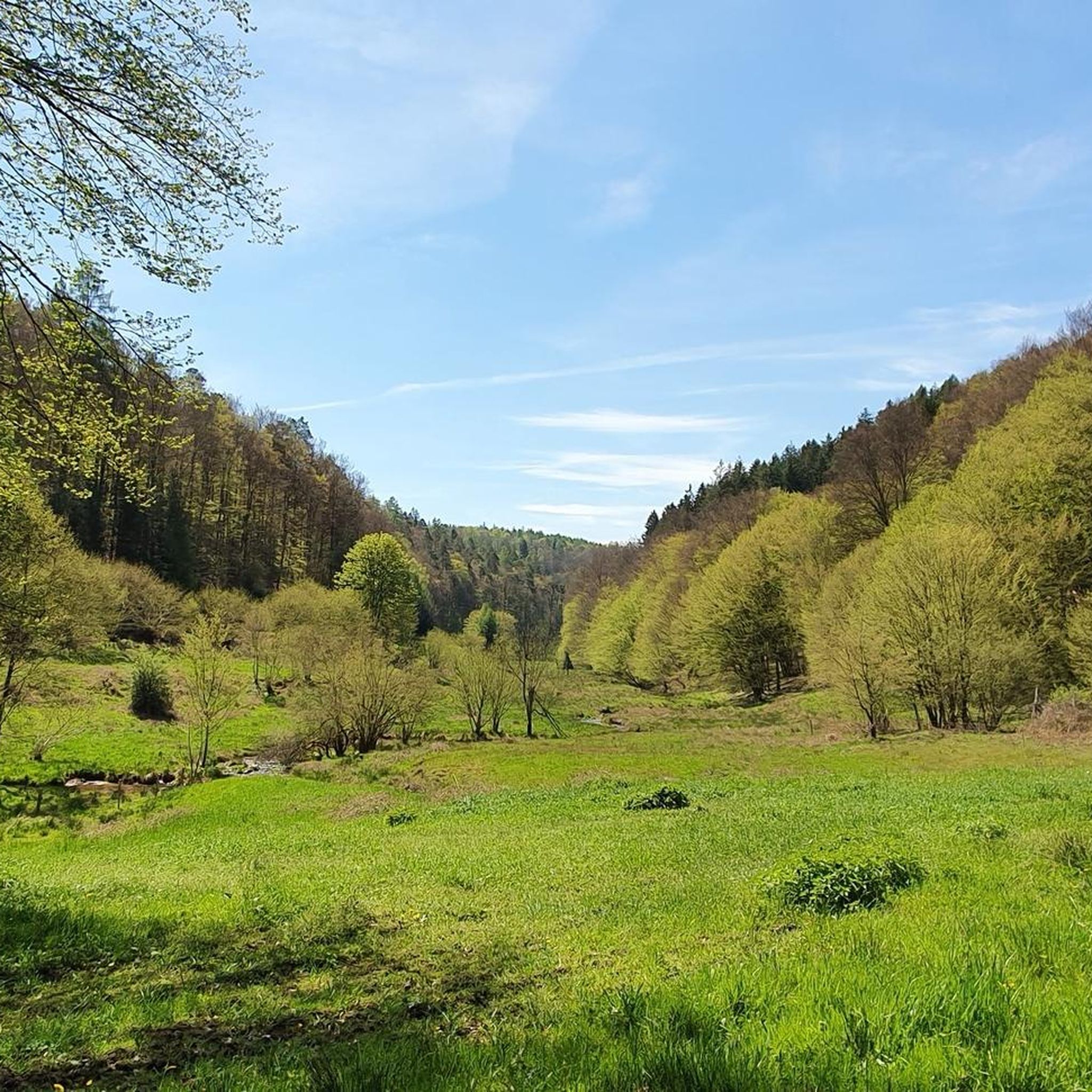
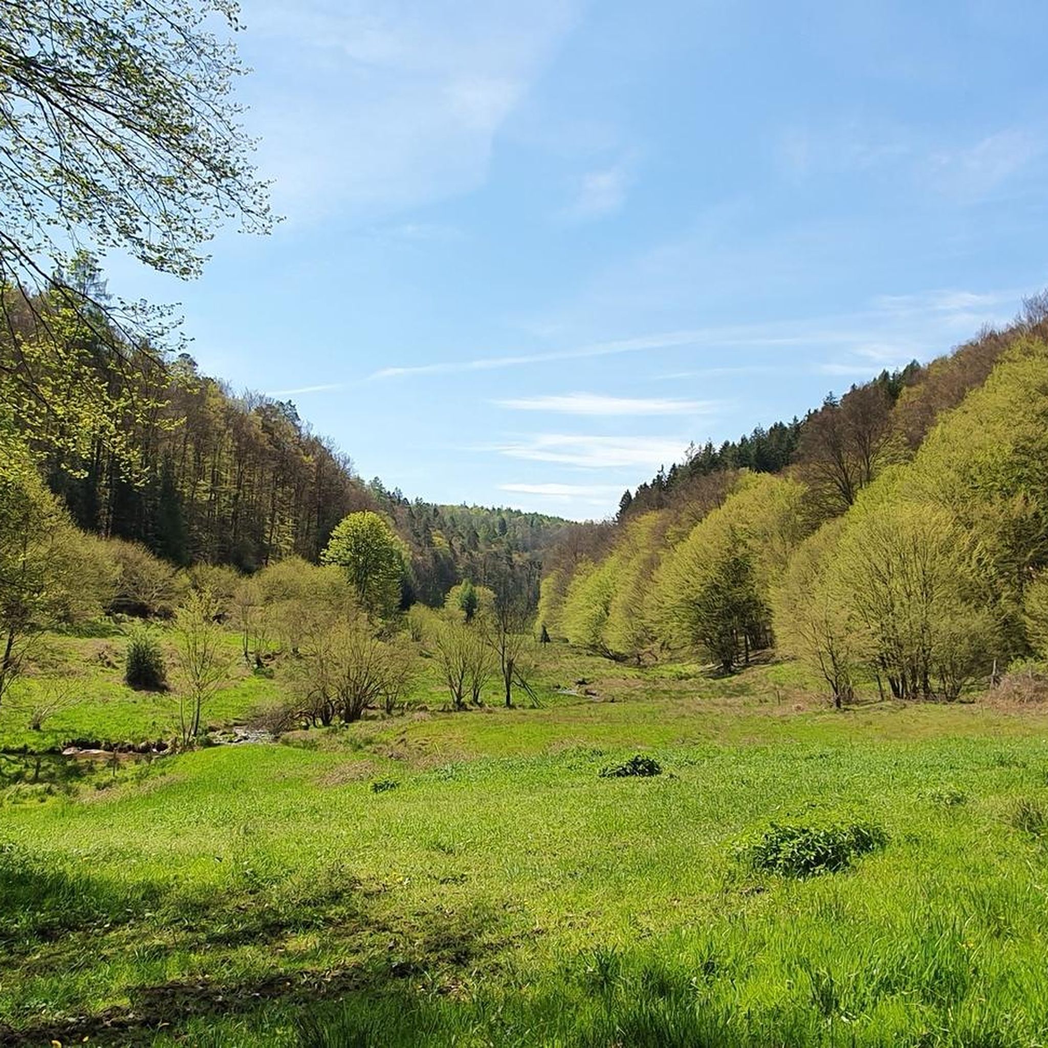
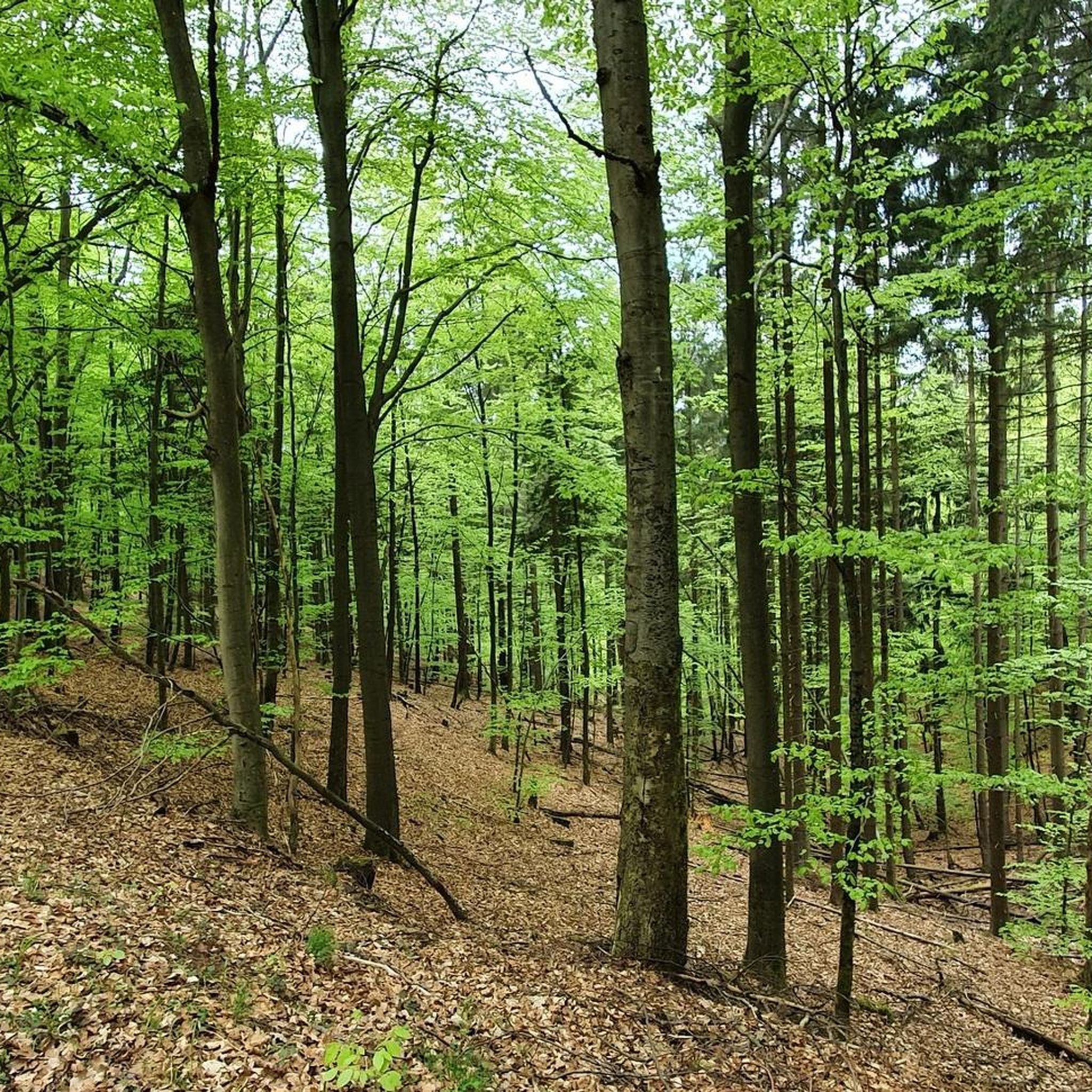
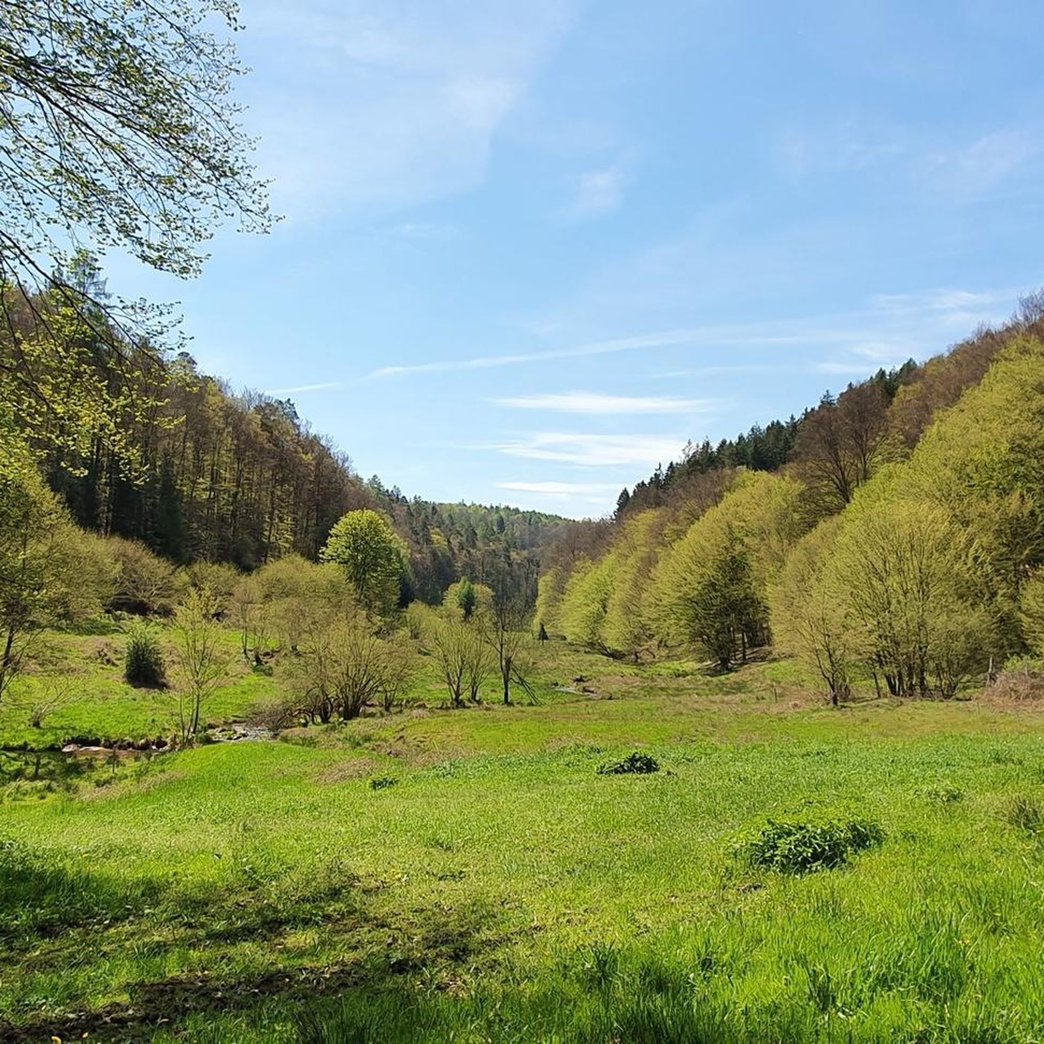
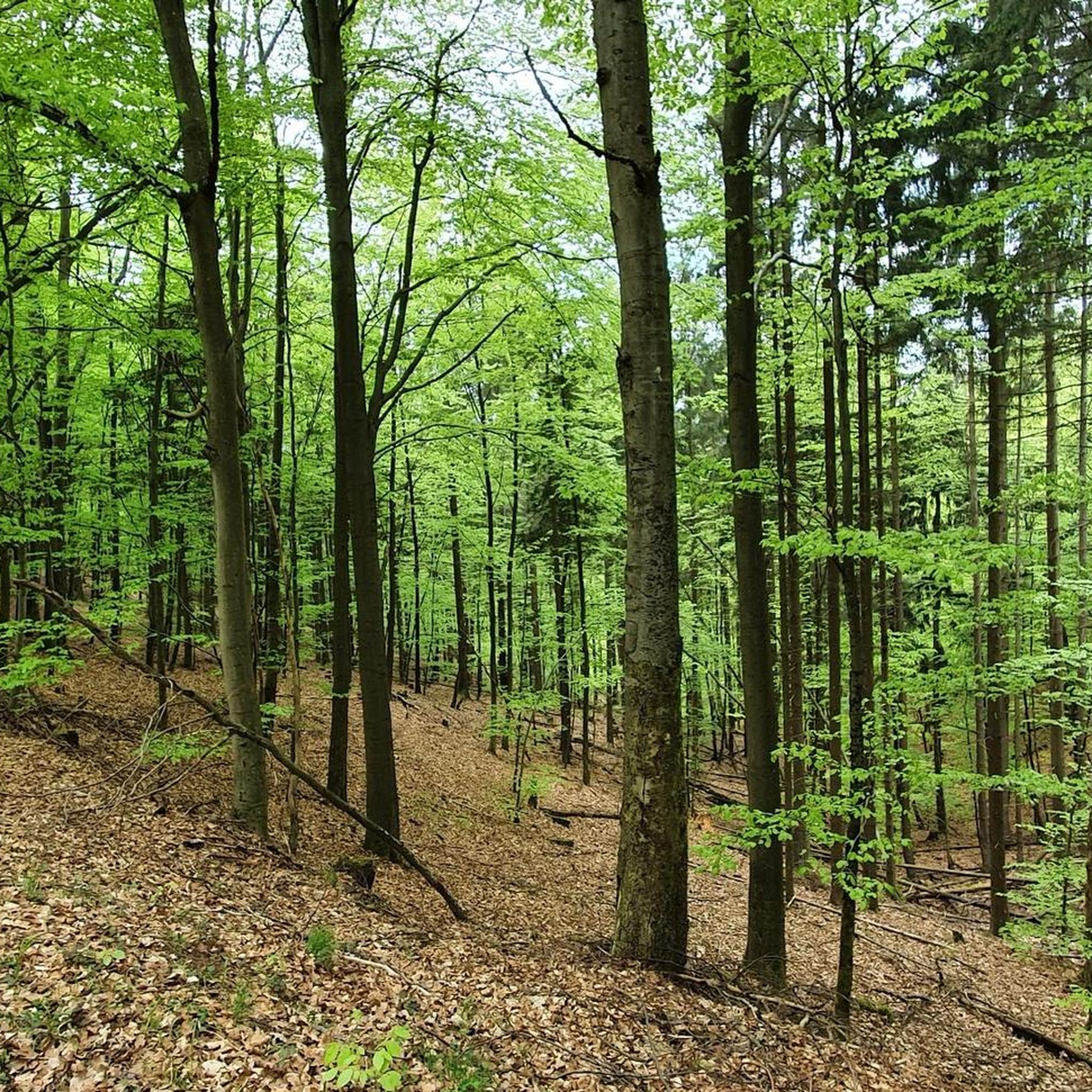
Gravel biking in Krausenbacher Forst offers extensive forested terrain with varied elevations, providing diverse riding experiences. This densely wooded area, located northeast of Dammbach, features numerous forest roads and paths suitable for gravel bikes. The landscape ranges from 791 feet (241 meters) above sea level near Dammbach to the Querberg at 1,860 feet (567 meters). These natural features create engaging routes for gravel bikers seeking both challenge and tranquil environments.
Best gravel bike trails in Krausenbacher Forst
- The most popular…
Last updated: October 16, 2026
4.0
(3)
5
riders
38.5km
02:38
750m
750m
Hard gravel ride. Very good fitness required. Mostly paved surfaces. Suitable for all skill levels.
5.0
(1)
7
riders
27.5km
01:47
360m
360m
Moderate gravel ride. Good fitness required. Mostly paved surfaces. Suitable for all skill levels.

5.0
(1)
9
riders
Hard gravel ride. Very good fitness required. Mostly paved surfaces. Suitable for all skill levels.
11
riders
Hard gravel ride. Very good fitness required. You may need to push your bike for some segments of this route.
4
riders
59.3km
04:10
980m
980m
Hard gravel ride. Very good fitness required. Mostly paved surfaces. Suitable for all skill levels.
Get access to more routes and recommendations from other explorers.
Already have an account?
Our route recommendations are based on thousands of hikes, rides, and runs completed by other people on komoot.
Start today with a free account
Your next adventure awaits.
Tips from the Community

The Hafenlohr is a 26.5 km (27.7 km with Tiergartenbach) long, right tributary of the Main in the districts of Aschaffenburg and Main-Spessart in the Bavarian Spessart. The Hafenlohr originates from two springs in the municipality of Rothenbuch. The longer and at times more water-rich source is the Tiergartenbach, which often dries up on dry days. Officially, it is considered the upper course of the main water body of the Hafenlohr. The origin named Hafenlohrquelle in the middle of the village provides water almost all year round. The Hafenlohrquelle is located at Schloss Rothenbuch. It was channeled in sandstone during the widening of the road St 2317. Its water flows through the castle moat northwestward and flows into the bed of the Tiergartenbach about a hundred meters later from the left side, which flows from the Tiergartengrund on the northern edge of the village and is already 1.3 km long. It does not supply water all year round, but at times more than the also perennial spring at the castle. The spring at the castle was probably a meeting point for hunting in the eastern Spessart in the past, which is why the construction of a hunting lodge began here in 1342. The castle moat and some surrounding trout lakes, which no longer exist today, were fed with the emerging spring water. Source and further information: https://de.wikipedia.org/wiki/Hafenlohr_(Fluss)
1
0

Restaurant is now closed.
0
0

Impressive castle ruin visible from the river below - a worthwhile stop if you enjoy exploring old fortifications.
0
0

The Hafenlohrtal is wonderfully quiet. And so beautiful.
0
0

Beautiful path through the Aubach valley with magical clearings and forest passages.
1
0

I love these old bridges and I have to take a picture of every beautiful one from above. This one also offers a very nice view of Marktheidenfeld.
1
0
Excellent German and Franconian cuisine, unfortunately only open Saturdays and Sundays. Very tasty and a great tip.
1
0
The Hafenlohr is a 26.5 km (27.7 km with Tiergartenbach) long right tributary of the Main in the districts of Aschaffenburg and Main-Spessart in the Bavarian Spessart. The Hafenlohr originates from two springs in the municipality of Rothenbuch. The longer and sometimes more water-rich spring is the Tiergartenbach, which often dries up on dry days. Officially, it is considered the upper course of the main watercourse of the Hafenlohr. The spring named Hafenlohrquelle, in the middle of the village, provides water almost all year round. The Hafenlohrquelle is located at Rothenbuch Castle. It was channeled in sandstone during the widening of the St 2317 road. Its water flows through the castle moat northwestward and flows, after about a hundred meters, from the left side into the bed of the Tiergartenbach, which comes from the Tiergartengrund on the northern edge of the village and is already 1.3 km long. It does not supply water all year round, but at times more than the also perennial spring at the castle. The spring at the castle was probably once a meeting point for hunting in the eastern Spessart, which is why the construction of a hunting lodge began here in 1342. The spring water fed the castle moat and several surrounding trout ponds, which no longer exist. Source and further information: https://de.wikipedia.org/wiki/Hafenlohr_(Fluss)
1
0
Frequently Asked Questions
How many gravel bike trails are available in Krausenbacher Forst?
Krausenbacher Forst offers a wide selection of gravel bike trails, with over 30 routes available for exploration. These trails cater to various skill levels, ensuring there's something for everyone.
What is the general difficulty level of gravel biking in Krausenbacher Forst?
The trails in Krausenbacher Forst primarily range from moderate to difficult. There are 13 moderate routes and 21 difficult routes, providing options for both experienced riders and those looking for a significant challenge. The varied elevation, from 241 meters near Dammbach to 567 meters at the Querberg, contributes to these diverse difficulty levels.
What do other gravel bikers say about the trails in Krausenbacher Forst?
The komoot community highly rates the gravel biking experience in Krausenbacher Forst, with an average score of 4.7 stars from over 40 reviews. More than 200 gravel bikers have explored the region, often praising the extensive forested terrain and varied landscapes.
What kind of terrain can I expect when gravel biking in Krausenbacher Forst?
You can expect a diverse mix of terrain, primarily consisting of extensive forest roads and paths. The region is densely wooded, offering natural shade and a tranquil environment. The varied topography includes both gentle climbs and descents, making for engaging rides on surfaces well-suited for gravel bikes.
Are there any circular gravel bike routes in Krausenbacher Forst?
Yes, many routes in Krausenbacher Forst are designed as loops. For example, the Historic Town Hall – Wildensee Recreation Area loop from Dammbach is a moderate 27.6 km trail that offers a great circular experience.
Are there any interesting landmarks or natural sights to see along the gravel bike trails?
Yes, Krausenbacher Forst is rich in natural and historical highlights. You might encounter the Scharstein Wayside Shrine, the Memorial to Unteroffizier Ulrich Braun (1943 Air Crash Site), or the unique Spiral-Growth European Beech. The Kreuztor Junction, Spessart Nature Park is another notable point of interest.
Is Krausenbacher Forst suitable for family-friendly gravel biking?
While many routes are moderate to difficult, the extensive network of forest roads means that easier, flatter sections can often be found. For families, it's advisable to look for shorter, less elevated paths, especially those closer to Dammbach, which might offer a gentler introduction to gravel biking in the area.
Are the gravel trails in Krausenbacher Forst dog-friendly?
Generally, forest paths in Germany are dog-friendly, but it's always recommended to keep dogs on a leash, especially in nature reserves or areas with wildlife. Be mindful of other trail users and local regulations regarding dogs in specific sections of the forest.
Where can I find parking for gravel biking in Krausenbacher Forst?
Given its popularity for outdoor activities, you can typically find parking options in and around Dammbach, which serves as a common starting point for many trails into Krausenbacher Forst. Look for designated parking areas near trailheads or village centers.
How can I reach Krausenbacher Forst using public transport?
Public transport options to Krausenbacher Forst would generally involve reaching Dammbach first. From there, you can access various entry points to the forest. It's recommended to check local bus schedules from larger nearby towns for the most up-to-date information on connections to Dammbach.
Are there places to eat or drink near the gravel bike trails?
Yes, the region around Krausenbacher Forst, particularly in Dammbach and surrounding villages, offers various cafes and restaurants. Some routes, like the Haseltal Bridge (A3) – Zur Nickelsmühle Inn loop from Dammbach, even pass by inns, providing convenient stops for refreshments.
What is the best time of year to go gravel biking in Krausenbacher Forst?
The extensive forested terrain makes Krausenbacher Forst enjoyable for gravel biking across multiple seasons. Spring and autumn offer pleasant temperatures and beautiful scenery with changing foliage. Summer provides natural shade from the dense woods, while winter can be picturesque, though trail conditions might vary with snow or ice.
Are there any longer, more challenging gravel routes for experienced riders?
Absolutely. For experienced riders seeking a significant challenge, the Water buffalo in the Hafenlohr Valley – Main Bridge, Marktheidenfeld loop from Dammbach is a difficult 72.3 km route with nearly 1000 meters of elevation gain, offering an extensive and demanding ride.
Most popular routes in Krausenbacher Forst
Most popular attractions in Krausenbacher Forst

Get inspired with the komoot mobile app


Explore more
Browse the best Gravel rides in other regions.
