The best gravel rides in Parc De La Forêt-Boucher
5.0
(1)
39
riders
4
rides
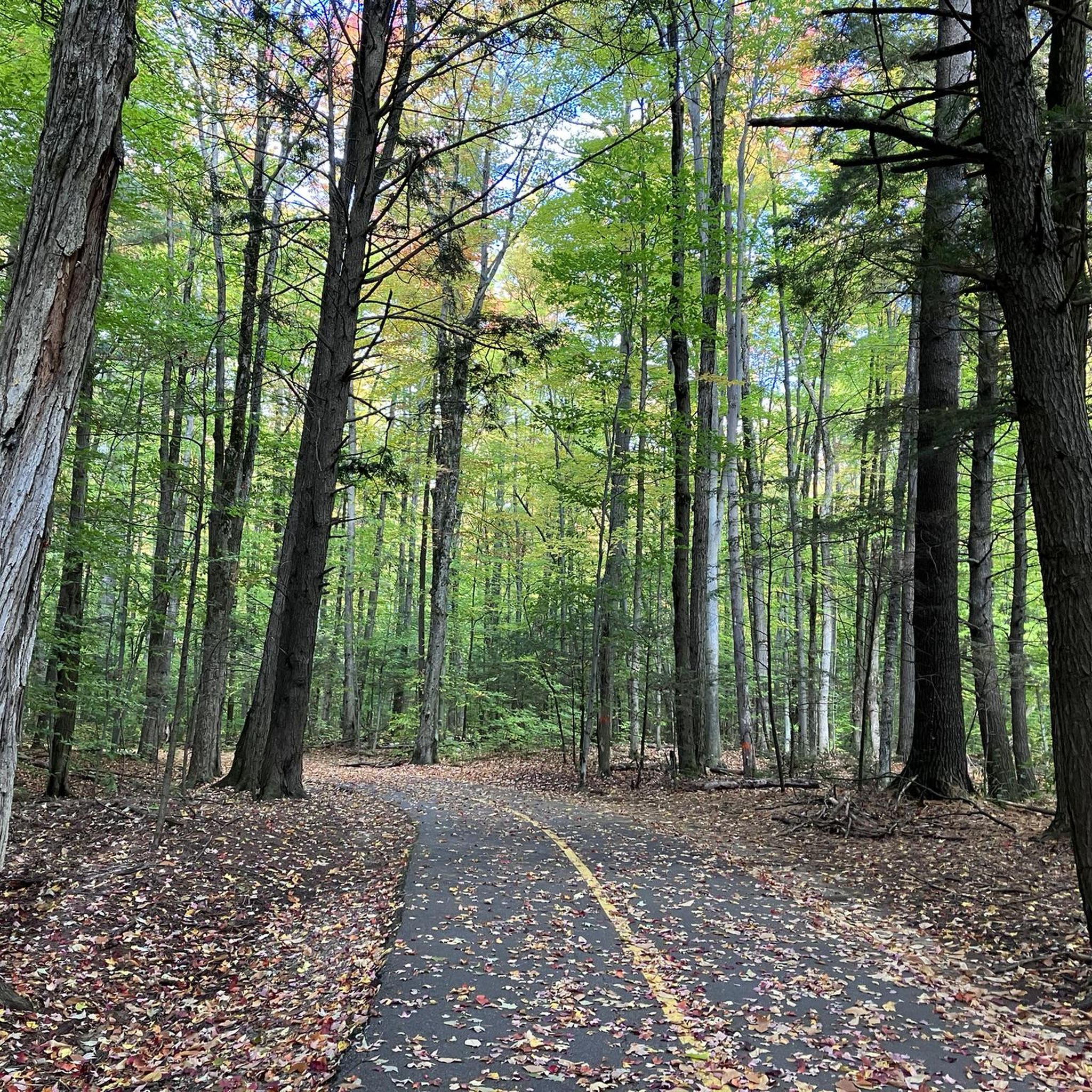
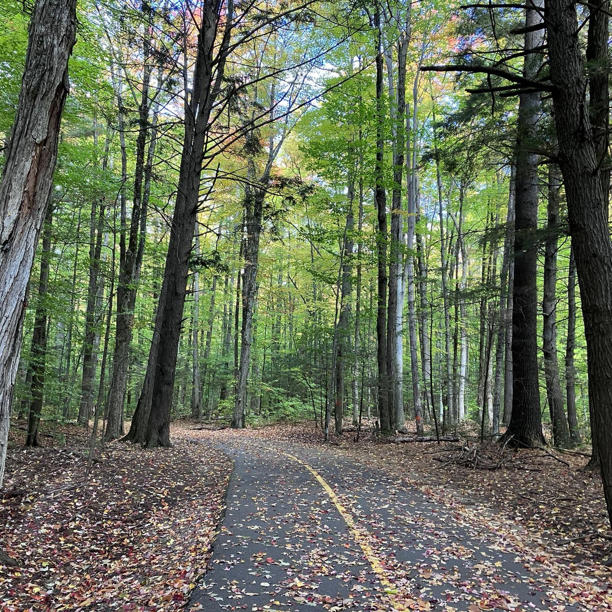
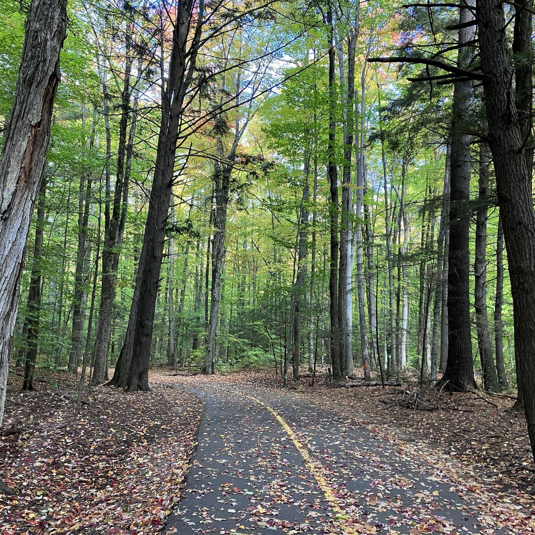
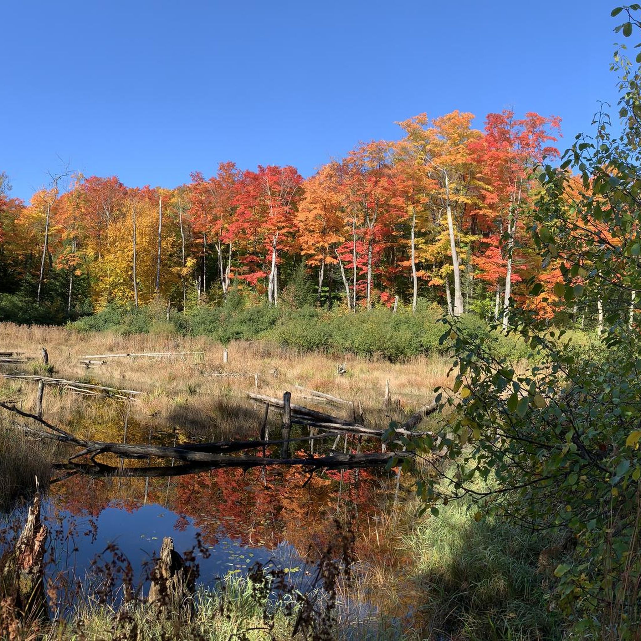
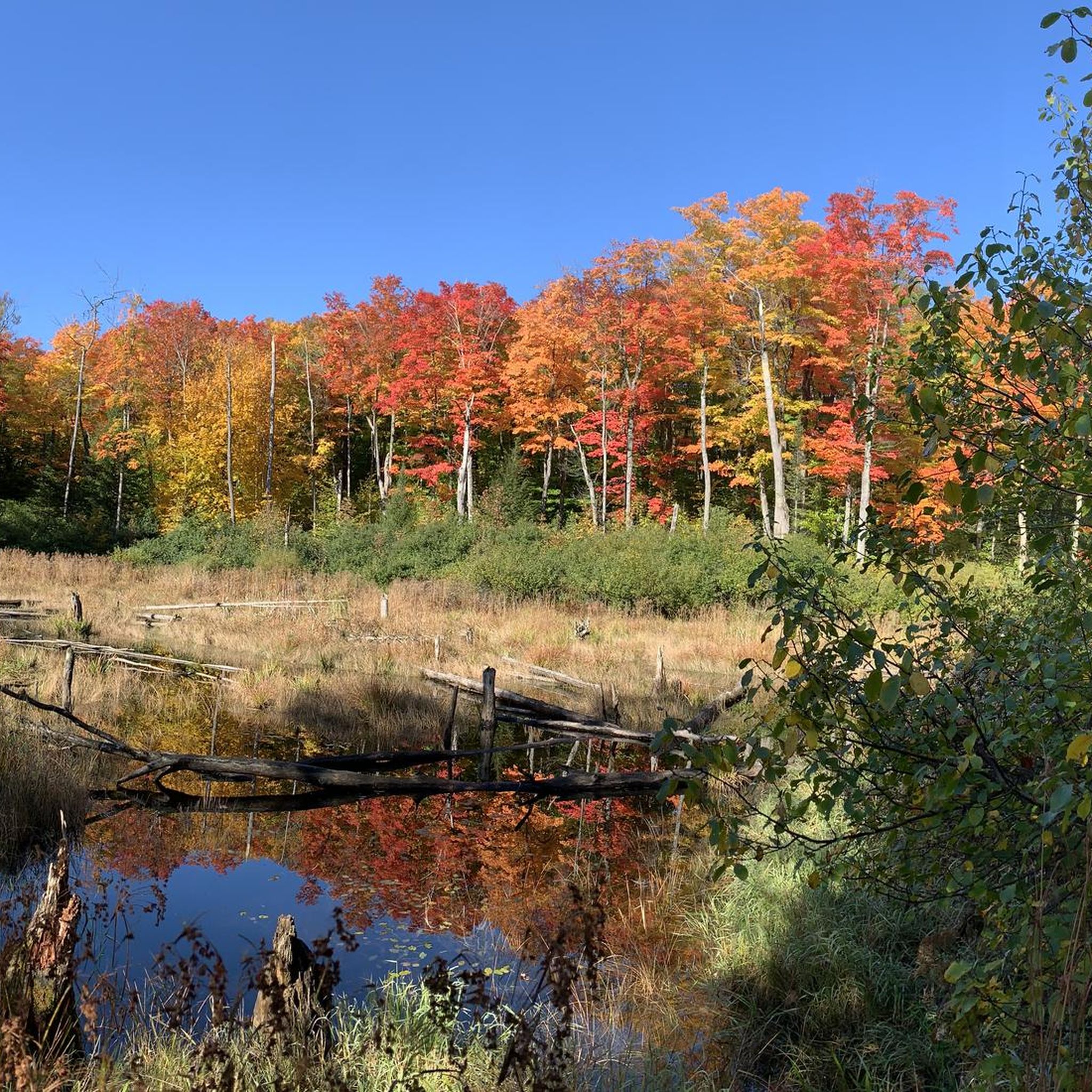
Gravel biking in Parc De La Forêt-Boucher offers a network of routes through varied terrain within Gatineau, Quebec. The park spans over 700 acres, characterized by dense forests with indigenous tree species, wetlands, and diverse natural scenery. The gravel bike terrain includes established cycle paths and scenic pathways, providing a mix of surfaces suitable for exploration. These routes often traverse forested areas and connect to local points of interest, offering options for various ability levels.
Best gravel bike trails in…
Last updated: July 3, 2026
14
riders
Moderate gravel ride. Good fitness required. Mostly paved surfaces. Suitable for all skill levels.
3
riders
66.1km
04:35
680m
680m
Hard gravel ride. Very good fitness required. Mostly paved surfaces. Suitable for all skill levels.

Sign up for free
7
riders
Hard gravel ride. Great for any fitness level. You may need to push your bike for some segments of this route.
5.0
(1)
5
riders
72.3km
03:31
230m
230m
Moderate gravel ride. Good fitness required. Mostly paved surfaces. Suitable for all skill levels.
10
riders
Moderate gravel ride. Good fitness required. Mostly paved surfaces. Suitable for all skill levels.
Our route recommendations are based on thousands of hikes, rides, and runs completed by other people on komoot.
Start today with a free account
Your next adventure awaits.
Login or Signup
Tips from the Community

Chelsea & Co Microbrasserie is a cozy craft brewery right in the heart of Chelsea. It’s a popular spot for both locals and visitors, especially those heading to nearby Gatineau Park for hiking or biking. They brew a variety of hyper-local beers in a relaxed atmosphere, with a tasting room and a lovely outdoor patio, making it a great place to relax after a day of exploring the beautiful trails in the area.
0
0
Voie Verte Chelsea is a relatively flat gravel multi-use trail that follows a former railway corridor along the Gatineau River. Stretching roughly 22 kilometres, it’s a picturesque and popular route for walking, cycling and running, with beautiful views of the river, and is a great way to connect to neighbourhoods and community destinations across the municipality.
0
0

A small viewpoint off of the main trail looks down the length of the Ottawa River. On a good day you can see many sailboats, and parks line the verdant shore. A walking trail parallels the cyclepath along this stretch of waterfront, allowing traffic to separate.
0
0

Wesley Clover Parks spans an impressive 200 hectares and is home to an equestrian centre, sport fields, a campground, and an education centre. The park has both public restrooms and water fountains.
0
0

Attention as it is always flooded in places on this trail.
0
0
Britannia Park is a spacious waterfront area where the Ottawa River broadens into a sweeping expanse. The park includes a sandy beach, open green space, and paved pathways that meander along the riverbank. With its open, breezy setting, the park offers breathtaking views of the river and plenty of space for a variety of recreational activities along the river.
0
0
As you stroll along this section of the trail, you are treated to stunning views of the Ottawa skyline across the Ottawa River. The skyline is marked by mid-rise buildings and towering government structures that rise above the riverbank. The perspective evolves as you continue along the path, revealing different angles of the city beautifully framed by water and lush green spaces.
0
0

This beach isn't one of the official beaches of Lake Philippe, but its location at the southern end makes it a prime viewpoint. The water stretches its entire length, framed by a lush forest that adds depth. The resulting perspective is breathtaking.
0
0
Frequently Asked Questions
How many gravel bike trails are available in Parc De La Forêt-Boucher?
Parc De La Forêt-Boucher offers a selection of 6 gravel bike routes. These range from moderate loops to more challenging long-distance rides, catering to various skill levels.
What are the difficulty levels of gravel biking routes in Parc De La Forêt-Boucher?
The routes in Parc De La Forêt-Boucher vary in difficulty. You'll find 1 easy route, 2 moderate routes, and 3 difficult routes, providing options for different experience levels.
Are there any beginner-friendly gravel bike trails in Parc De La Forêt-Boucher?
Yes, there is one easy gravel bike trail available. While the guide highlights moderate and difficult options, new riders can still find suitable paths to explore.
Which gravel bike trails are suitable for experienced riders looking for a challenge?
Experienced riders can tackle routes like the Wakefield Covered Bridge – Scenic Pathway loop from Chelsea, which is 67.8 miles (109.1 km) with significant elevation gain, or the Dow's Lake – Rideau Canal loop from Westboro, a 49.4 miles (79.5 km) difficult trail.
Are there any circular gravel bike routes in Parc De La Forêt-Boucher?
Yes, many of the gravel bike routes in the area are loops. For example, the popular Chelsea & Co Microbrewery – Gravel Cycle Path loop from Marie-Burger/De La Galène is a moderate 16.7-mile (26.9 km) circular trail.
What kind of terrain can I expect on gravel bike trails in Parc De La Forêt-Boucher?
You can expect varied terrain, primarily featuring established gravel cycle paths and scenic pathways. Many routes traverse forested areas and some follow waterways, offering a mix of natural landscapes and accessible urban fringes.
What do other gravel bikers say about the routes in Parc De La Forêt-Boucher?
The routes in Parc De La Forêt-Boucher are highly rated by the komoot community, with an average score of 4.75 stars from 3 reviews. Over 70 gravel bikers have used komoot to explore the varied terrain, appreciating the network of paths.
Are there any gravel bike routes that pass by specific points of interest or natural features?
Yes, some routes offer scenic views and pass by notable features. For instance, the Lac Deschênes Beach – Hog's Back Falls loop from Corso Italia takes you past both a beach and the Hog's Back Falls.
What is a good moderate gravel bike route for a day trip?
A great moderate option is the Chelsea & Co Microbrewery – Gravel Cycle Path loop from Marie-Burger/De La Galène. It's 16.7 miles (26.9 km) long and typically takes about 1 hour 46 minutes to complete, making it ideal for a rewarding day trip.
Are there any long-distance gravel biking options for endurance riders?
Absolutely. For endurance riders, the Wakefield Covered Bridge – Scenic Pathway loop from Chelsea is a challenging 67.8 miles (109.1 km) route, and the Gravel Cycle Path – Scenic Pathway loop from Chelsea covers 66.1 miles (106.5 km), both offering extensive riding.
Can I find routes that follow waterways in Parc De La Forêt-Boucher?
Yes, the gravel biking network includes routes that follow waterways. The Dow's Lake – Rideau Canal loop from Westboro is a prime example, leading through areas near the Rideau Canal.
Most popular routes in Parc De La Forêt-Boucher

Get inspired with the komoot mobile app


Explore more
Browse the best Gravel rides in other regions.
