The best gravel rides around Thrunton Wood
4.8
(7)
50
riders
7
rides
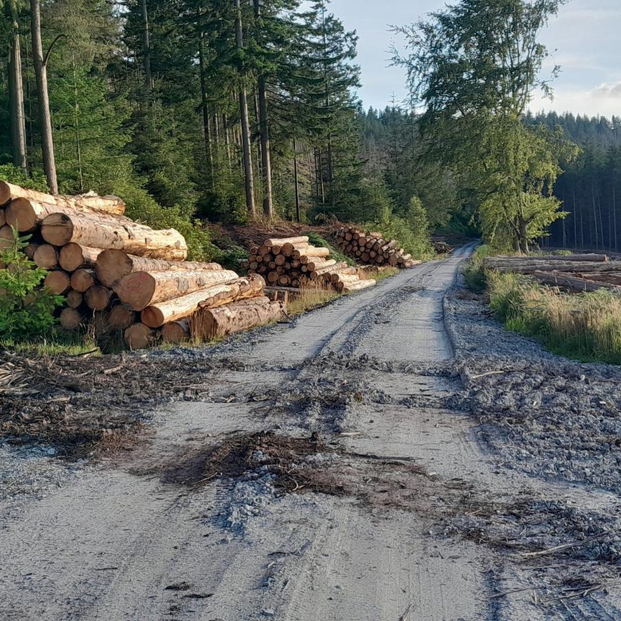
Gravel biking around Thrunton Wood offers routes through a landscape characterized by dense coniferous and mixed woodlands, interspersed with open areas and views of the surrounding Northumberland hills. The terrain includes forest tracks, gravel paths, and some sections on quieter country roads. Elevation changes are present, ranging from gentle inclines within the wood to more significant climbs on longer routes extending into the wider region. This area provides a varied environment for gravel biking, from sheltered forest trails to more…
Last updated: July 2, 2026
5.0
(1)
3
riders
Moderate gravel ride. Good fitness required. Mostly paved surfaces. Suitable for all skill levels.
7
riders
45.3km
03:04
660m
660m
Hard gravel ride. Very good fitness required. Mostly paved surfaces. Suitable for all skill levels.

Sign up for free
4.7
(3)
10
riders
36.8km
02:37
640m
640m
Hard gravel ride. Very good fitness required. Mostly paved surfaces. Suitable for all skill levels.
4.8
(5)
23
riders
Hard gravel ride. Very good fitness required. Mostly paved surfaces. Suitable for all skill levels.
5.0
(1)
12
riders
19.5km
01:37
400m
400m
Moderate gravel ride. Good fitness required. Mostly paved surfaces. Suitable for all skill levels.
Get access to more routes and recommendations from other explorers.
Sign up for free
Already have an account?
Our route recommendations are based on thousands of hikes, rides, and runs completed by other people on komoot.
Start today with a free account
Your next adventure awaits.
Login or Signup
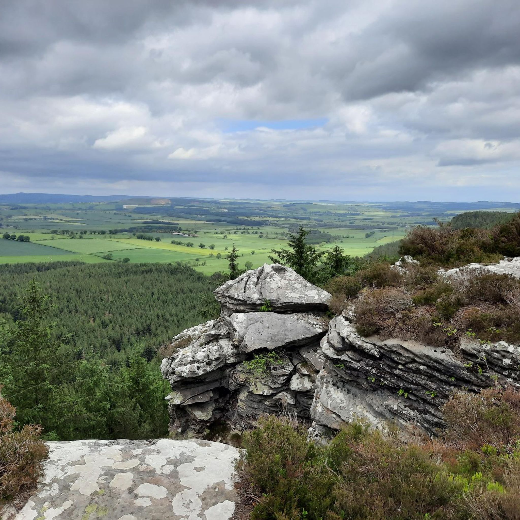
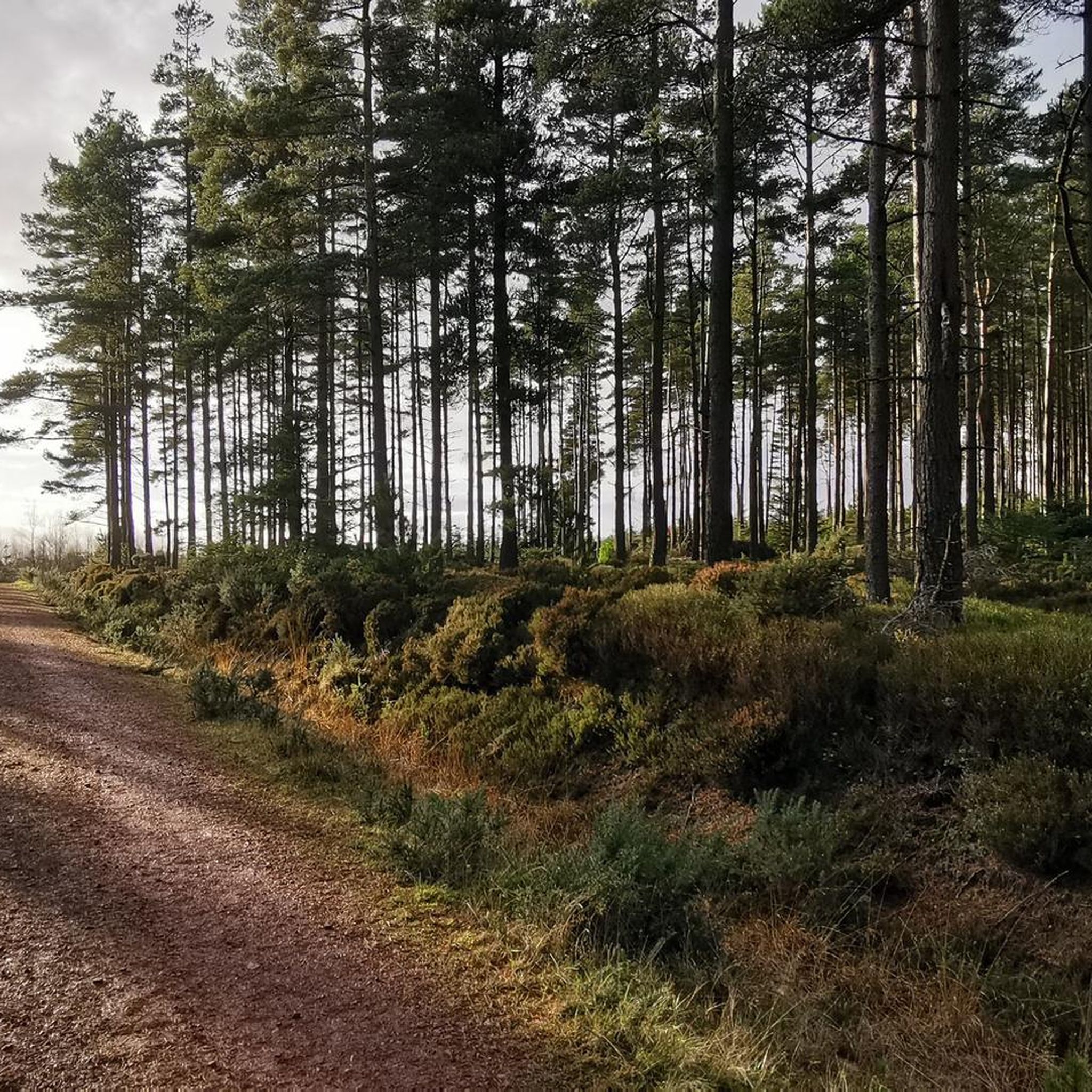
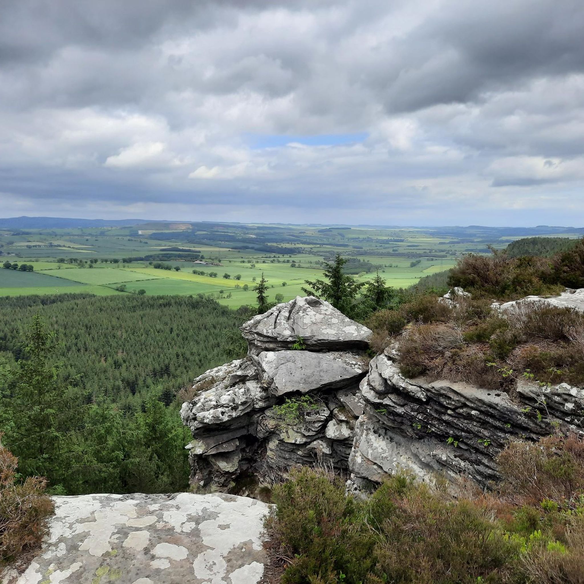
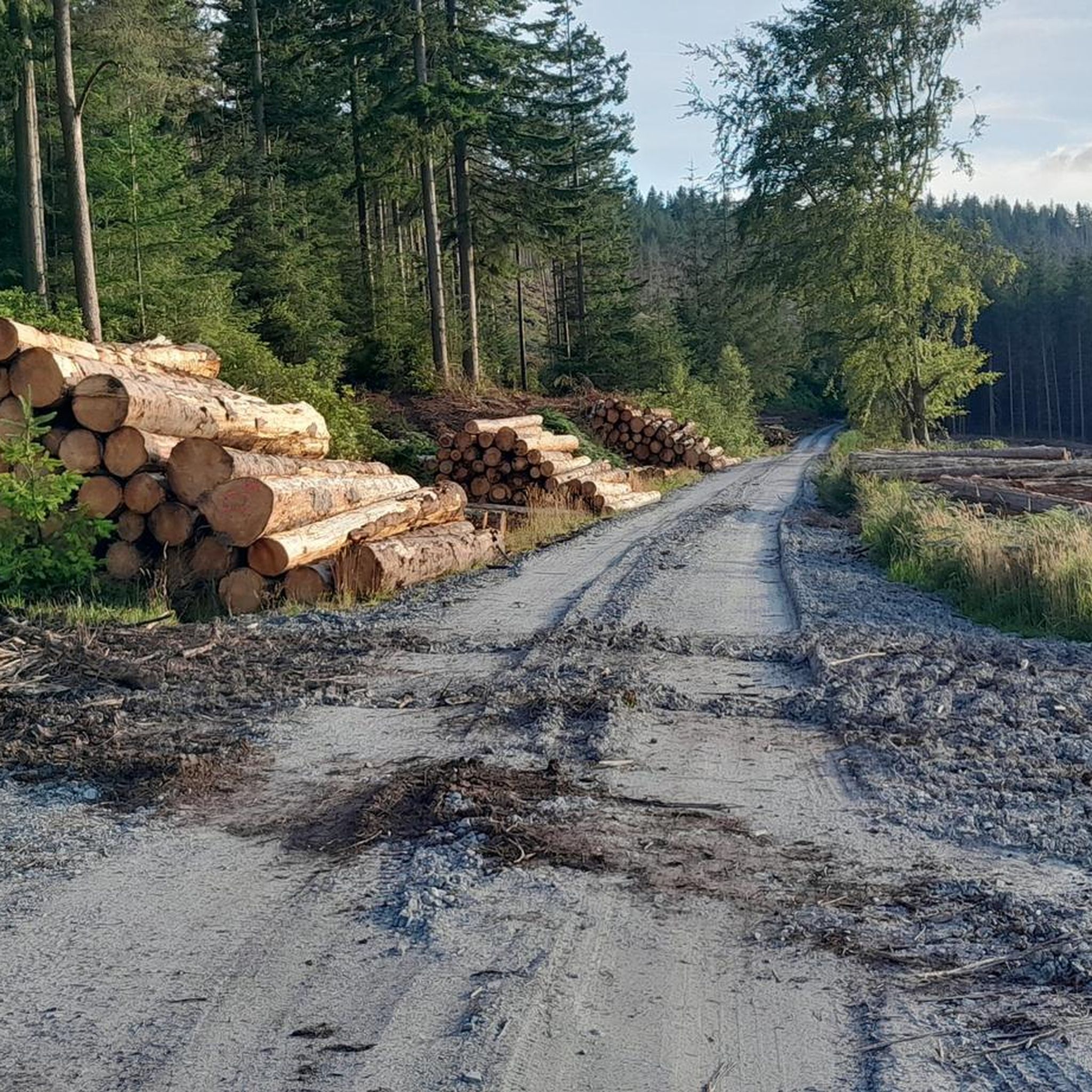
Tips from the Community


Good trails to ride on, great views on a sunny day. Can either include as part of a Rothbury/Simonside ride, or head over to Harwood Forest
0
0
Top of the Whitefield Trail. Tremendous descent down to Hepple. Some pretty lumpy gravel in places, finishes on a meadow track. Doable on a gravel bike I guess but wider tyres would make for a better ride
0
0
Fabulous route on a sunny day. Gravel is of varying size and as SS mentions, its punchy. Very punchy in places, you will need low gears and capable tyres
0
0
quiet road section, links to the Prendwick/Ingram or Prendwick/Salters tracks. Also the Ryle bridleways running north/south
0
0
Classic Northumberland road climb, even if it does have a descent in it. Ramp near the start in Elsdon is the hardest bit. Get lucky with a tailwind and fly down eastwards past Harwood Forest
0
0
Pretty bleak place to meet your end. If on the road, can also be pretty bleak with a rainy headwind ! Tailwind when eastward bound though is great
0
0

Frequently Asked Questions
How many gravel bike trails are available around Thrunton Wood?
There are 7 gravel bike trails available for exploration around Thrunton Wood. These routes offer a variety of experiences, from moderate loops within the forest to more challenging rides extending into the wider Northumberland hills.
Are there any gravel bike trails suitable for beginners or families in Thrunton Wood?
While there are no routes specifically graded as 'easy' in our current selection, there are 2 moderate gravel bike trails that could be suitable for those with some experience or families looking for a less strenuous ride. A good option is the View of Thrunton Wood – Forest Gravel Path loop from Thrunton Trout Fishery, which is 4.5 miles (7.2 km) long and navigates through forest paths.
What kind of challenges can I expect on advanced gravel routes in Thrunton Wood?
Advanced gravel routes around Thrunton Wood often feature significant elevation changes, rolling hills, and sections through open moorland. For example, the Rothbury Village Centre – Winter's Gibbet loop from Rothbury is a difficult 28.1 miles (45.3 km) path with substantial climbs, offering expansive views across the landscape.
What are the typical trail conditions for gravel biking in Thrunton Wood?
The terrain in Thrunton Wood primarily consists of forest tracks, gravel paths, and some quieter country road sections. You can expect a mix of surfaces, from well-maintained gravel to potentially looser or muddier sections, especially after rain. The dense coniferous and mixed woodlands provide sheltered trails, while routes extending further out may be more exposed.
Are there any scenic viewpoints or attractions along the gravel bike trails?
Yes, the area offers several scenic spots. Along the trails, you might encounter highlights such as the View of Thrunton Wood itself, or the Ian Green Memorial Bench Viewpoint. For those exploring further, the Coe Crags Summit offers panoramic views.
What is the best season for gravel biking in Thrunton Wood?
Gravel biking in Thrunton Wood is enjoyable throughout much of the year. Spring and autumn offer pleasant temperatures and beautiful foliage. Summer provides longer daylight hours, though some trails might be busier. Winter rides are possible, but be prepared for potentially colder, wetter conditions and shorter days, which can affect trail surfaces.
Are there any good loop routes for gravel biking around Thrunton Wood?
Yes, many of the gravel routes in the area are designed as loops. For instance, the Bridge Over the River Breamish – River Breamish loop from Powburn is a popular 22.9 miles (36.8 km) trail that takes you through river valleys and forested sections, offering a circular journey.
Where can I find parking for gravel biking near Thrunton Wood?
Specific parking information varies by trailhead. Many routes start from villages or designated car parks. For example, the route 'View of Thrunton Wood – Forest Gravel Path loop' begins near Thrunton Trout Fishery, which typically has parking facilities. For other routes, look for public car parks in nearby villages like Rothbury or Powburn.
What do other gravel bikers enjoy most about the trails in Thrunton Wood?
The gravel biking routes around Thrunton Wood are highly rated by the komoot community, with an average score of 4.7 stars from 6 reviews. Riders often praise the varied terrain, the quiet woodlands, and the expansive views of the Northumberland hills, noting the good mix of challenging climbs and enjoyable descents.
Are there any cafes or pubs near the gravel trails for a break?
While Thrunton Wood itself is a natural area, nearby villages such as Rothbury offer a selection of cafes, pubs, and other amenities where you can refuel and relax. It's advisable to check opening times, especially if planning a ride outside of peak hours.
What should I wear for gravel biking in Thrunton Wood?
Given the varied terrain and potential for changing weather in Northumberland, layering is key. Wear moisture-wicking base layers, a mid-layer for warmth, and a waterproof/windproof outer shell. Padded shorts are recommended for comfort, and sturdy gravel-specific shoes are ideal. Always carry a helmet, gloves, and eye protection.
Are there any longer gravel routes for experienced riders in the Thrunton Wood area?
Yes, for experienced riders seeking longer distances, there are several challenging options. The Simonside Car Park – Viewpoint on Simonside Hills loop from Whitton and Tosson is a difficult 34.2 miles (55.0 km) route that offers significant elevation gain and takes you through the scenic Simonside Hills.
Most popular routes around Thrunton Wood
Most popular attractions around Thrunton Wood

Get inspired with the komoot mobile app


Explore more
Browse the best Gravel rides in other regions.
