The best gravel rides in Hochfirst
4.6
(15)
80
riders
26
rides
Gravel biking in Hochfirst features a landscape characterized by rolling hills, cycle paths, and historical sites such as castles. The region offers varied terrain suitable for different skill levels, with routes often traversing open countryside and alongside bodies of water. Elevation gains on some routes indicate a moderately challenging environment for gravel cyclists.
Best gravel bike trails in Hochfirst
- The most popular gravel bike trail is Mindel Cycle Path – Mindelburg Castle loop from Mindelheim, a 46.2 miles (74.3…
Last updated: October 20, 2026
4.7
(6)
28
riders
74.5km
04:35
630m
630m
Hard gravel ride. Very good fitness required. Mostly paved surfaces. Suitable for all skill levels.
5.0
(1)
19
riders
55.6km
03:22
440m
440m
Moderate gravel ride. Good fitness required. Mostly paved surfaces. Suitable for all skill levels.

4.7
(3)
10
riders
38.4km
02:14
250m
250m
Moderate gravel ride. Good fitness required. Mostly paved surfaces. Suitable for all skill levels.
4.0
(3)
9
riders
19.8km
01:07
170m
170m
Moderate gravel ride. Good fitness required. Mostly paved surfaces. Suitable for all skill levels.
4.5
(2)
14
riders
Moderate gravel ride. Good fitness required. Mostly paved surfaces. Suitable for all skill levels.
Get access to more routes and recommendations from other explorers.
Already have an account?
Our route recommendations are based on thousands of hikes, rides, and runs completed by other people on komoot.
Start today with a free account
Your next adventure awaits.
Tips from the Community

Make a note for next summer for the bike tour with my brother from Memmingen.
0
0
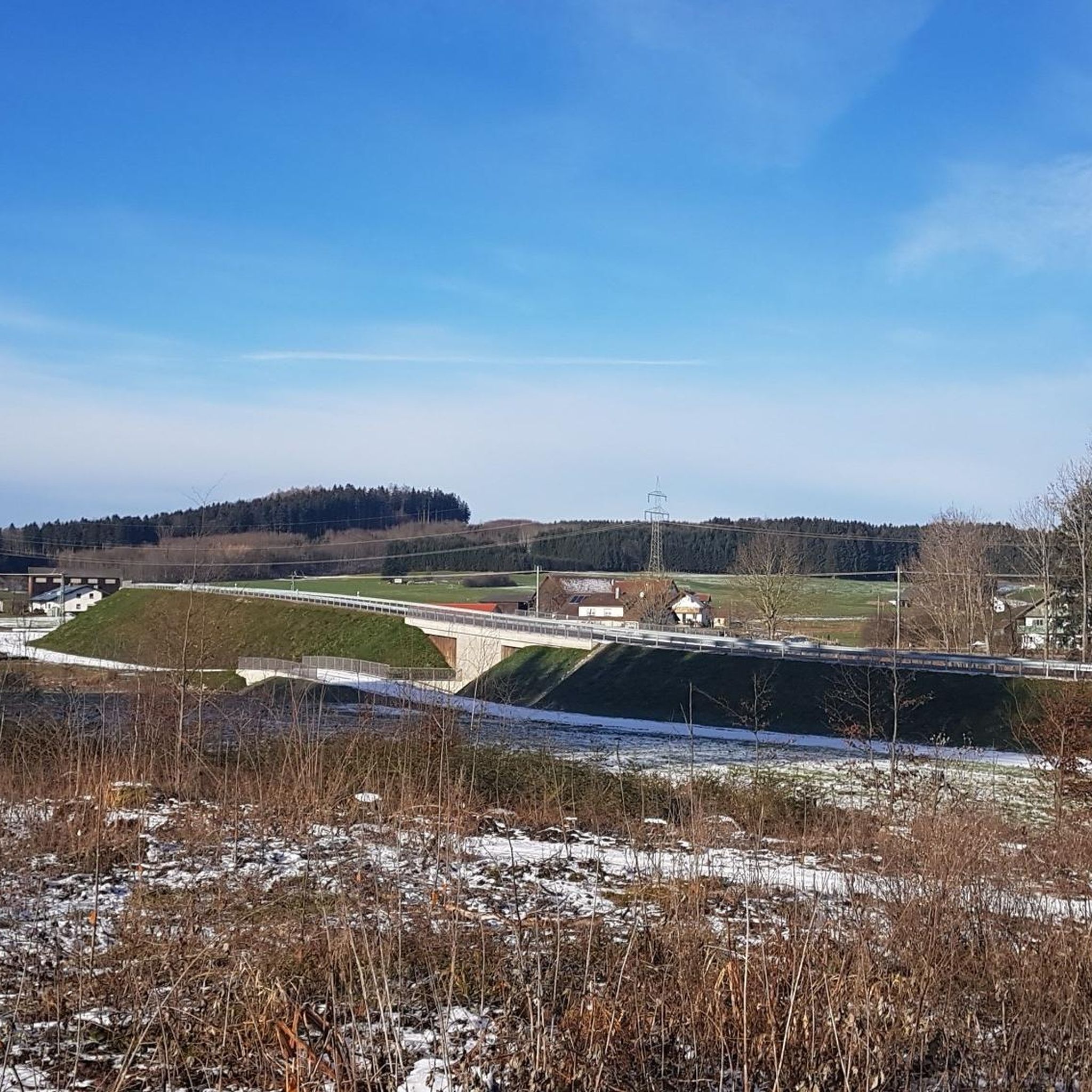
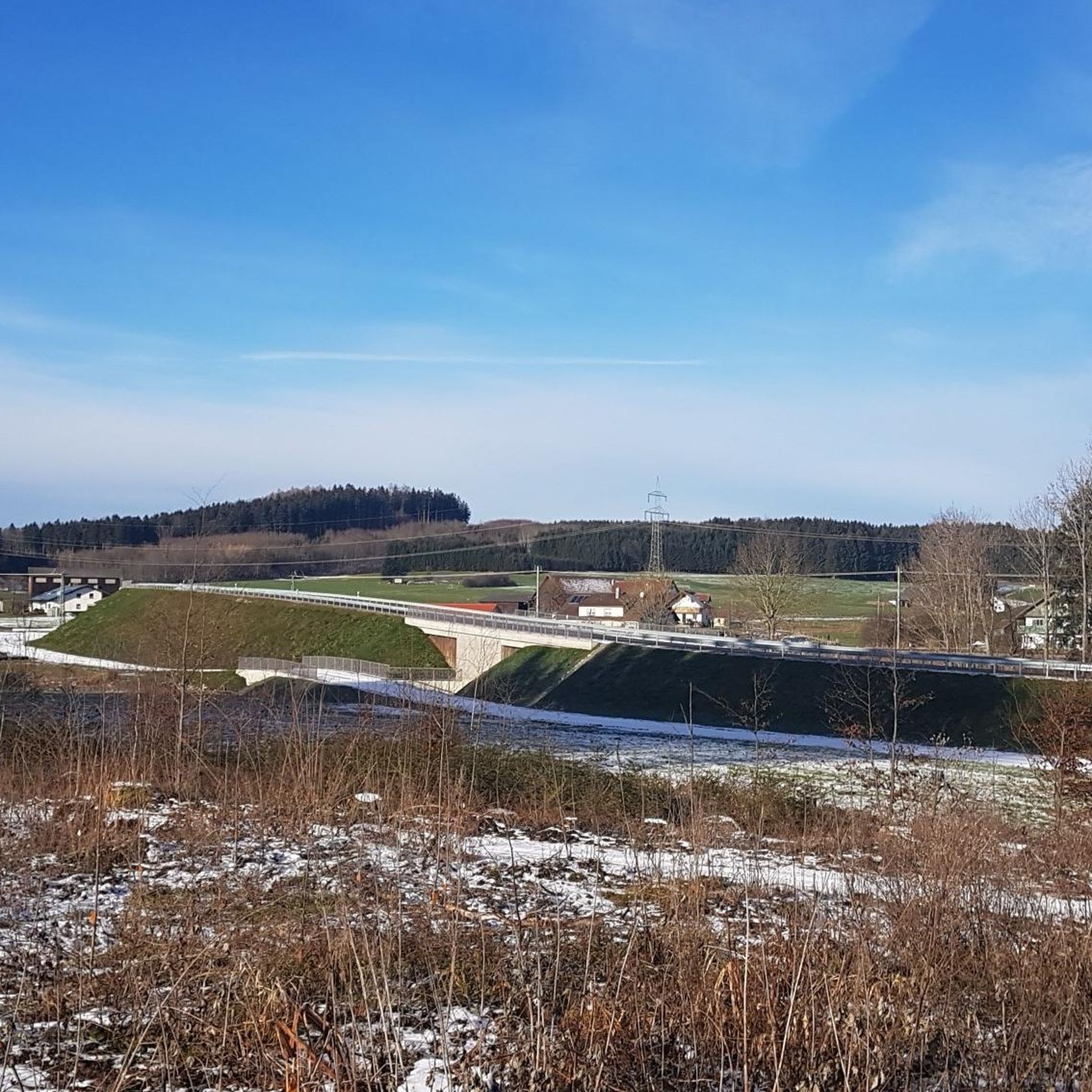
My brother from Memmingen and I have crossed the bridge off our list. The 2-step staircase is quite a workout with a 30 kg e-bike and/or panniers. The bridge path is rather narrow, and with mirrors and panniers, it can get tight when there is oncoming traffic. So, pray that no one is coming.
0
0

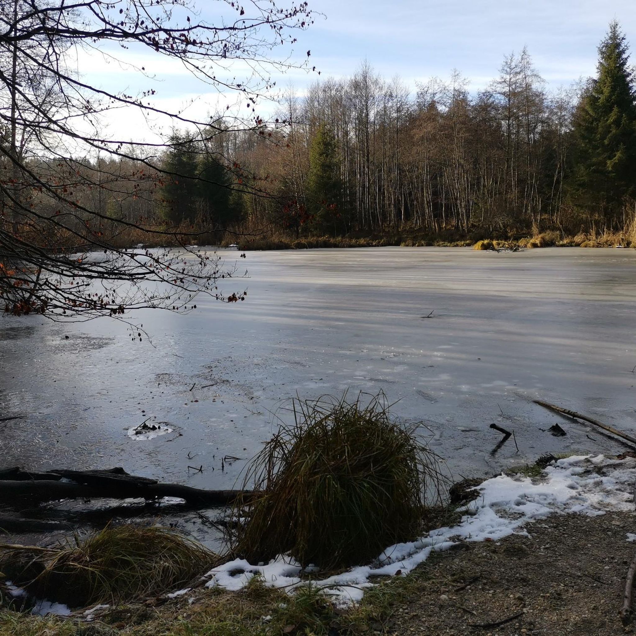
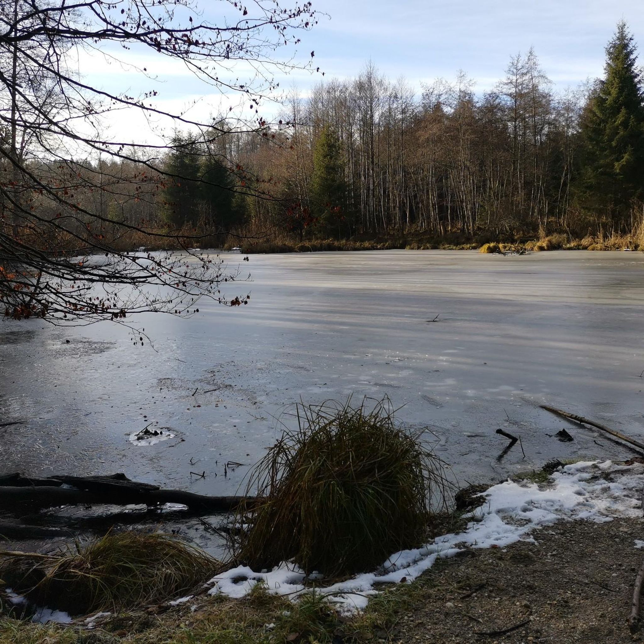
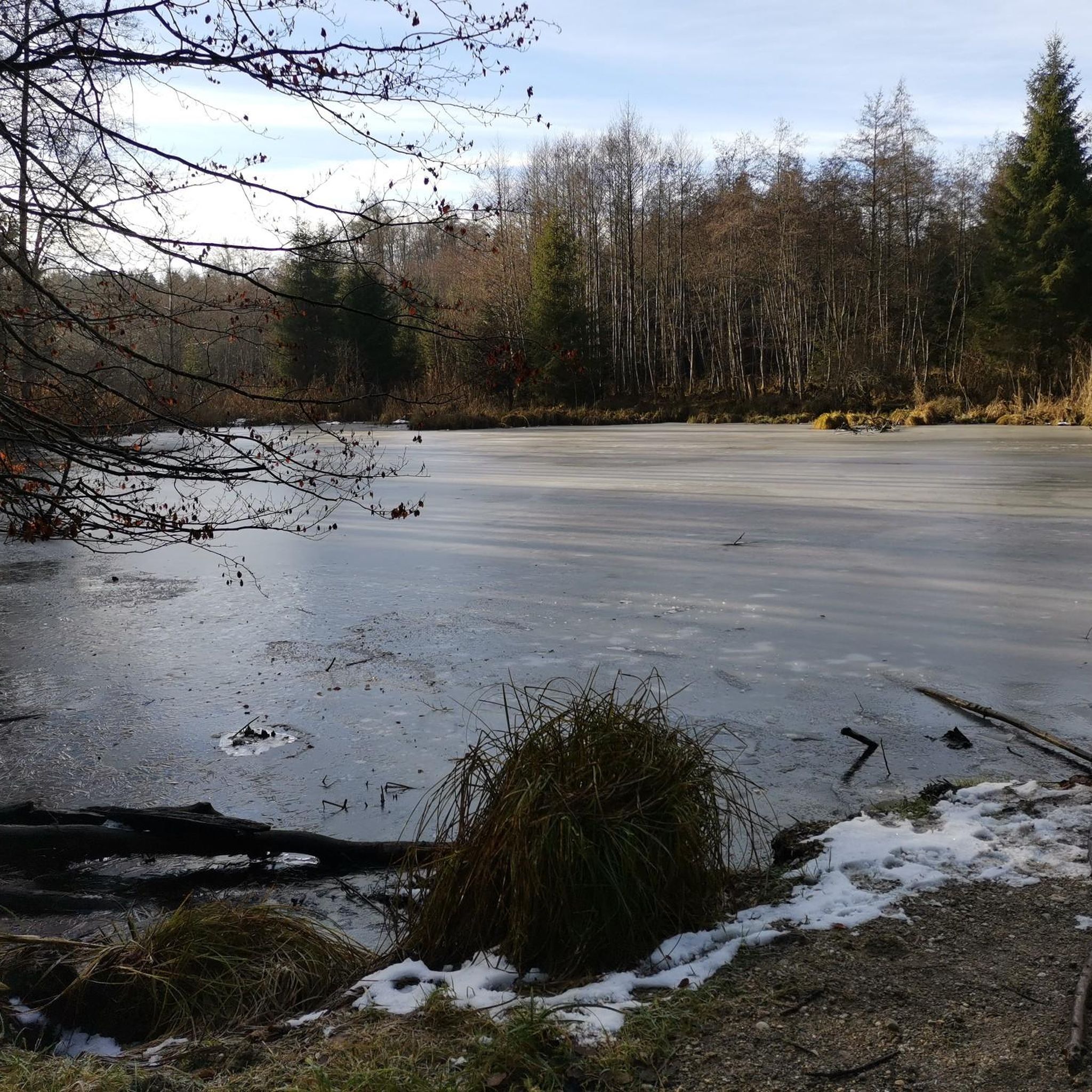
Hidden in the middle of the forest near Hochfirst (706m) you will find the Kammelquelle. The last few meters of the approach are a bit steeper, as you practically ride up the entire Hochfirst. You should definitely leave your bikes at the sign "Zur Kammelquelle" before heading to the spring on foot. The path to the spring only takes about 1 minute. There are 2 benches right at the spring. During my visit, the spring was unfortunately barely flowing.
0
0

The ice cream machine sells delicious farm ice cream.
0
0
A beautiful route along the Mindel River. Passing a fantastic climbing park.
0
0

Mindelheim's old town takes you on a journey through time through centuries-old alleys and magnificent town houses. A living history book in the open air.
1
1

Flat-roofed hall building with three-sided end and northern tower with onion dome, core around 1600, reconstruction and extension probably by Joseph Stiller, 1766
3
0

Very clean and beautifully located! Top.
1
0
Frequently Asked Questions
What are the difficulty levels of gravel bike trails in Hochfirst?
Hochfirst offers a range of gravel bike trails suitable for various skill levels. You'll find 5 easy routes, 28 moderate routes, and 14 difficult routes, ensuring options for beginners to experienced riders.
Are there family-friendly gravel bike routes in Hochfirst?
Yes, Hochfirst has several family-friendly gravel routes. These often follow well-maintained cycle paths through open countryside. A good option to consider is the St. Anna Kneipp facility – The Three Arches Bridge loop from Mindelheim, which is a moderate 19.8 km route.
What is the best season for gravel biking in Hochfirst?
The region's rolling hills and cycle paths are generally enjoyable from spring through autumn. While specific weather conditions can vary, these seasons typically offer pleasant temperatures and drier trails. Always check the local forecast before heading out.
Are there any gravel bike trails with good viewpoints in Hochfirst?
Many routes in Hochfirst offer scenic views, particularly those traversing open countryside or alongside bodies of water. The Bench with a view of the lake – Lake Irsingen loop from Mindelheim is a popular choice, offering varied terrain with views of Lake Irsingen.
Can I find circular gravel bike routes in Hochfirst?
Yes, many of the gravel bike trails in Hochfirst are designed as loops, allowing you to start and end at the same point. Examples include the Mindel Cycle Path – Mindelburg Castle loop from Mindelheim and the Mindel Cycle Path – Castell Bedernau Castle loop from Mindelheim.
What kind of terrain can I expect on Hochfirst gravel bike trails?
Gravel biking in Hochfirst features a diverse landscape characterized by rolling hills, dedicated cycle paths, and open countryside. You'll often find routes alongside bodies of water and passing historical sites like castles, providing varied surfaces and scenery.
How long are the gravel bike trails in Hochfirst?
The length of gravel bike trails in Hochfirst varies significantly. You can find shorter routes like the 19.8 km St. Anna Kneipp facility – The Three Arches Bridge loop from Mindelheim, up to longer excursions such as the 74.3 km Mindel Cycle Path – Mindelburg Castle loop from Mindelheim.
Are there routes suitable for experienced gravel riders in Hochfirst?
Absolutely. Hochfirst offers 14 difficult routes that provide a challenge for experienced gravel riders. These trails often feature greater elevation gains and more demanding terrain. The Marian Fountain, Mindelheim – Old town of Mindelheim loop from Mindelheim, a 53.8 km route with over 500 meters of elevation gain, is a good example.
What do other gravel bikers enjoy most about Hochfirst?
The area is highly rated by the komoot community, with an average score of 4.2 stars from over 10 reviews. Reviewers often praise the varied terrain, the combination of cycle paths and historical sites, and the scenic views of lakes and castles.
Is public transport available to access gravel routes in Hochfirst?
Many routes in Hochfirst start from towns like Mindelheim, which are generally accessible by public transport. It's advisable to check local bus or train schedules to plan your journey to the starting points of your chosen gravel bike trails.
Are there any cafes or refreshment stops along the gravel bike trails?
While specific cafes are not listed for every route, many trails pass through or near towns and villages where you can find opportunities for refreshments. Planning your route with komoot allows you to identify potential stops along the way.
Most popular routes in Hochfirst

Get inspired with the komoot mobile app


Explore more
Browse the best Gravel rides in other regions.
