The best gravel rides in Maxlrainer Forst
4.4
(131)
898
riders
55
rides
Gravel biking in Maxlrainer Forst features a landscape characterized by extensive woodlands and the Mangfall River valley. The region offers a network of trails suitable for gravel bikes, often following river paths and forest roads. Terrain generally includes rolling hills and varied surfaces, providing diverse riding experiences. The area is well-suited for exploring natural surroundings on two wheels.
Best gravel bike trails in Maxlrainer Forst
- The most popular gravel bike trail is Mangfall Cycle Path – Maxlrain Castle loop from…
Last updated: October 20, 2026
4.3
(4)
38
riders
51.7km
02:31
220m
220m
Moderate gravel ride. Good fitness required. Mostly paved surfaces. Suitable for all skill levels.
4.5
(2)
20
riders
58.0km
03:42
1,050m
1,050m
Hard gravel ride. Very good fitness required. Mostly paved surfaces. Suitable for all skill levels.

4.0
(4)
22
riders
57.7km
02:56
250m
250m
Moderate gravel ride. Good fitness required. Mostly paved surfaces. Suitable for all skill levels.
22
riders
22.9km
01:07
90m
90m
Easy gravel ride. Great for any fitness level. Mostly paved surfaces. Suitable for all skill levels.
5.0
(1)
15
riders
28.9km
01:37
310m
310m
Moderate gravel ride. Good fitness required. Mostly paved surfaces. Suitable for all skill levels.
Get access to more routes and recommendations from other explorers.
Already have an account?
Our route recommendations are based on thousands of hikes, rides, and runs completed by other people on komoot.
Start today with a free account
Your next adventure awaits.
Tips from the Community


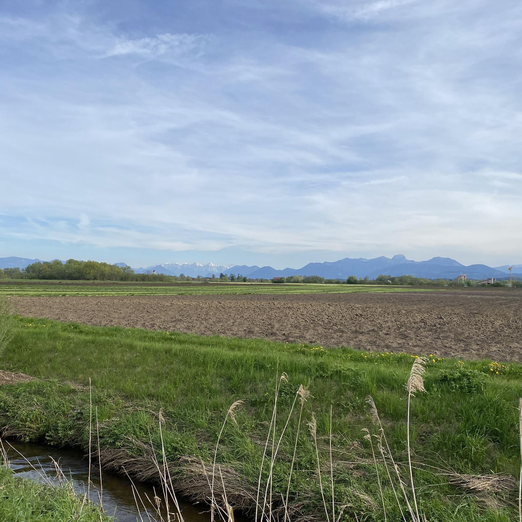
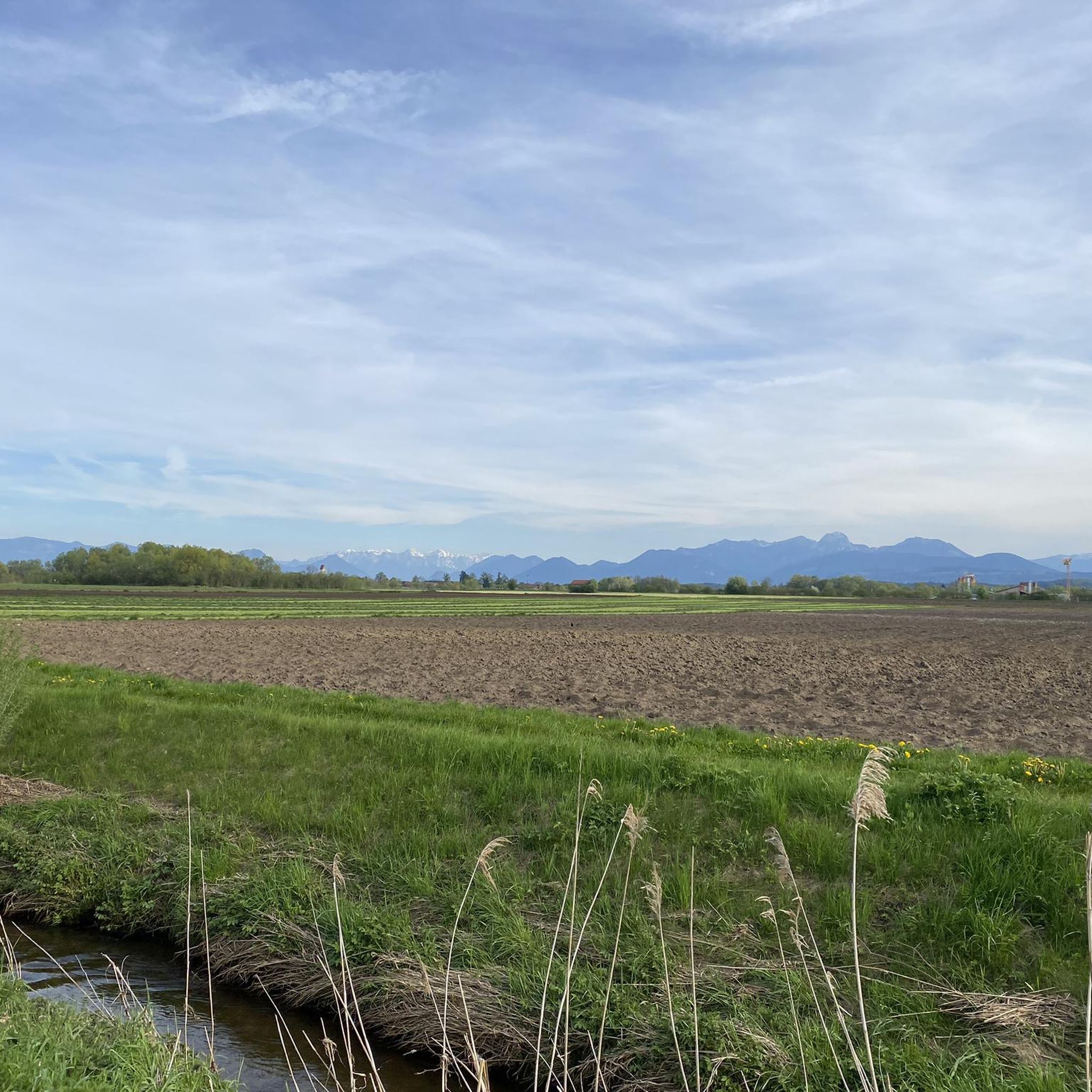
A beautiful cycle path runs along the Mangfall river.
0
0
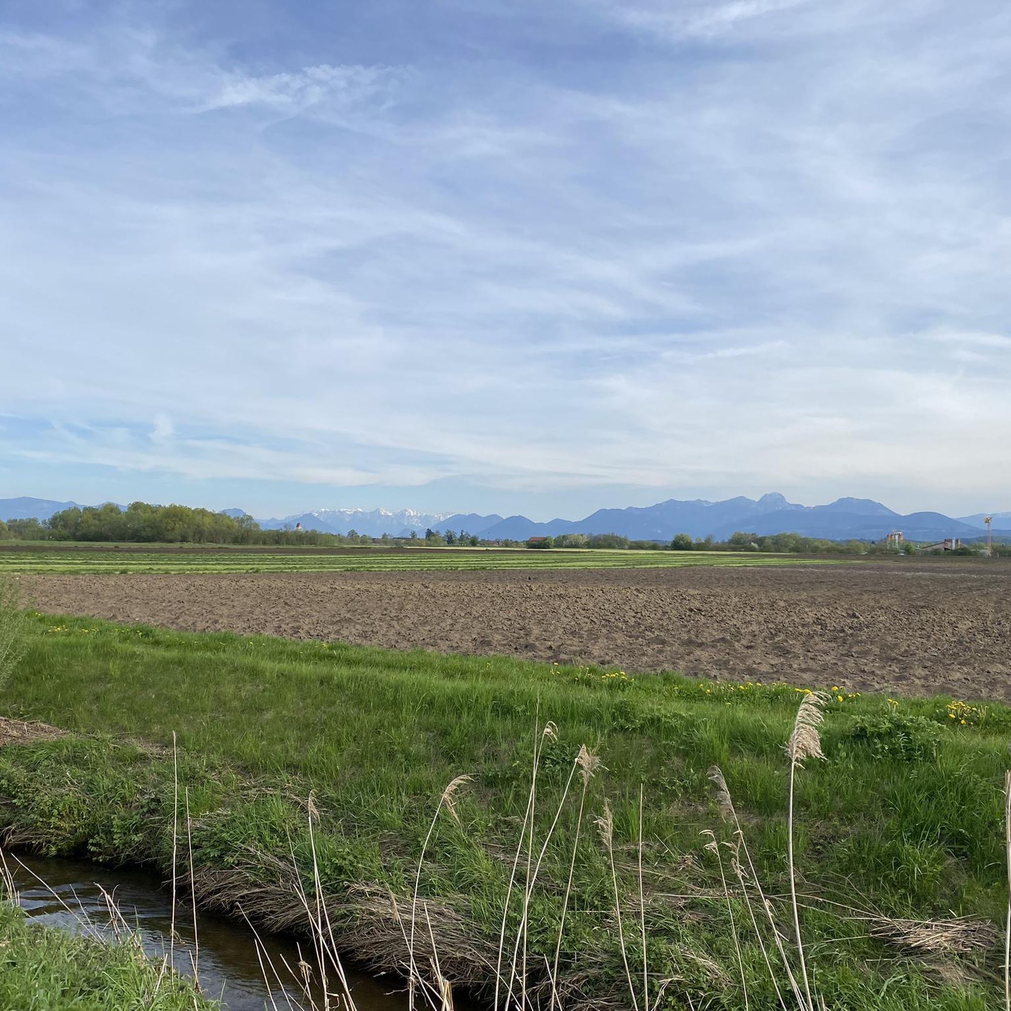
A beautiful cycle path, stretching along the Mangfall river and offering views of the mountains, invites exploration.
0
0
A very beautiful castle right next to the Bräustüberl.
1
0

Bankers for a rest to enjoy the sun and the magnificent view of the Mangfall and the mountains.
1
0

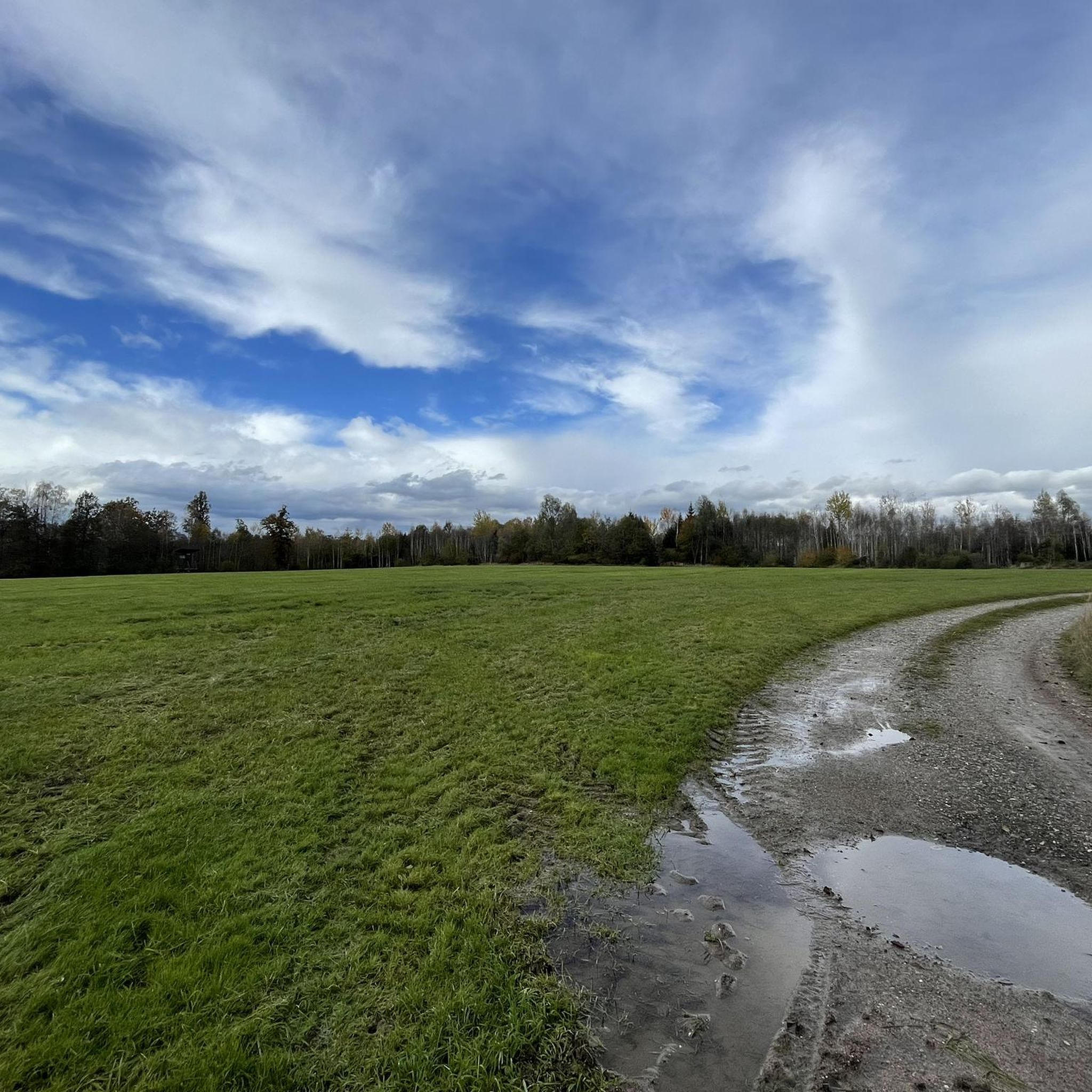
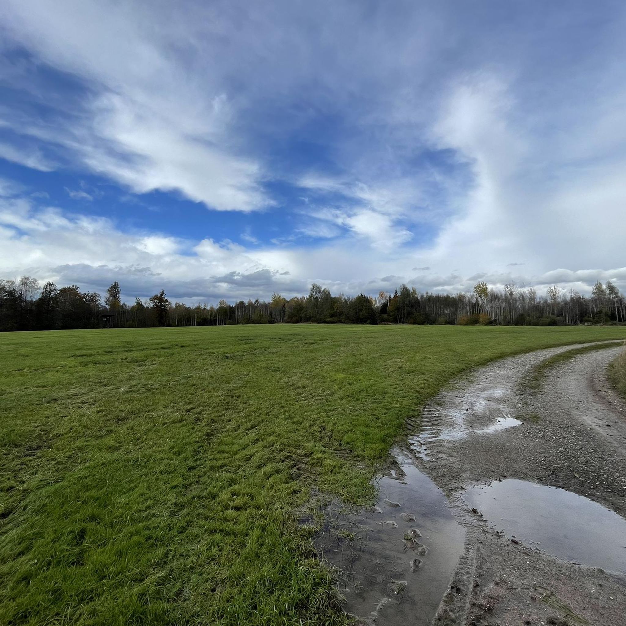
For the most part, the Mangfall Cycle Path runs directly along the Mangfall River. The river has been beautifully restored, with small weirs and opportunities for swimming.
5
0

2 lakes, many hills and at the end a beer
0
0

Frequently Asked Questions
How many gravel bike trails are available in Maxlrainer Forst?
Maxlrainer Forst offers a wide selection of gravel bike trails, with over 140 routes recorded on komoot. These range in difficulty from easy to difficult, ensuring options for various skill levels.
What is the typical difficulty level of gravel bike trails in Maxlrainer Forst?
The trails in Maxlrainer Forst cater to a range of abilities. You'll find approximately 30 easy routes, 64 moderate routes, and 48 more challenging routes, providing diverse experiences for all gravel bikers.
Are there any family-friendly gravel biking options in Maxlrainer Forst?
Yes, many of the routes along the Mangfall River and through the forest are suitable for families, especially the easier and moderate trails. These often feature relatively flat sections and well-maintained paths. Consider routes that stick to the main cycle paths for a smoother experience.
What are some good gravel bike trails for beginners in Maxlrainer Forst?
For beginners, we recommend starting with some of the easier sections of the Mangfall Cycle Path. While the popular Mangfall Cycle Path – Mangfall River Path loop from Beyharting is moderate, its riverside and forested sections are generally well-suited for those getting started, offering a good introduction to the area's terrain.
Are there challenging gravel routes for experienced riders in Maxlrainer Forst?
Yes, experienced riders looking for a challenge can explore routes with more significant elevation changes. The Mangfall River – View of the Mangfall Valley loop from Hinrichssegen, for example, is rated as difficult and features over 1000 meters of elevation gain, offering a demanding ride through varied terrain.
What are the typical distances for gravel bike routes in Maxlrainer Forst?
Gravel bike routes in Maxlrainer Forst vary significantly in length. Many popular loops, such as the View of the Alps – Mangfall Cycle Path loop from Hinrichssegen, are around 30-35 miles (50-55 km). However, you can find shorter options for quick rides or combine sections for longer adventures.
When is the best time of year to go gravel biking in Maxlrainer Forst?
The best time for gravel biking in Maxlrainer Forst is typically from spring through autumn (April to October). During these months, the weather is generally mild, and the trails are in good condition. Spring offers lush greenery, while autumn provides beautiful foliage along the forest and river paths.
Are there any scenic viewpoints or landmarks along the gravel routes?
Absolutely. Many routes offer picturesque views, especially those with 'Alps' in their name, hinting at distant mountain panoramas. You can also pass by historical sites like Maxlrain Castle or discover unique spots like the Atonement Cross near Stachöd. The Gravel Path with Alpine Panorama is also a highlight for views.
What do other gravel bikers enjoy most about gravel biking in Maxlrainer Forst?
The area is highly rated by the komoot community, with an average score of 4.4 stars from over 200 reviews. Reviewers often praise the diverse terrain, the peaceful forest sections, and the scenic paths along the Mangfall River. The well-maintained network of trails and the variety of route options are also frequently highlighted.
Where can I find parking for gravel biking in Maxlrainer Forst?
While specific parking areas aren't detailed for every route, many of the gravel tours start from towns like Beyharting, Hinrichssegen, or Bruckmühl. These towns typically offer public parking facilities where you can leave your vehicle before heading out on the trails.
Can I reach the Maxlrainer Forst gravel trails by public transport?
Yes, several starting points for gravel routes in Maxlrainer Forst are accessible by public transport. Towns like Bruckmühl and Heufeld, which serve as common starting points for tours such as the Mangfall Cycle Path – Maxlrain Castle loop from Bruckmühl, have train stations or bus connections, making it convenient to arrive without a car.
Are there places to stop for refreshments along the gravel trails?
Yes, as many routes pass through or near small villages and towns, you'll often find opportunities for refreshments. Maxlrain itself has a brewery and restaurant, and other towns along the Mangfall River offer cafes and inns where you can take a break and refuel.
Are there any circular gravel bike routes in Maxlrainer Forst?
Most of the gravel bike routes in Maxlrainer Forst are designed as circular loops, allowing you to start and end at the same point. Examples include the Maxlrain Castle – Mangfall Cycle Path loop from Heufeld, which offers a convenient round trip through varied landscapes.
Most popular routes in Maxlrainer Forst
Most popular attractions in Maxlrainer Forst

Get inspired with the komoot mobile app


Explore more
Browse the best Gravel rides in other regions.
