The best gravel rides in Kürnbergerwald
4.6
(18)
198
riders
33
rides
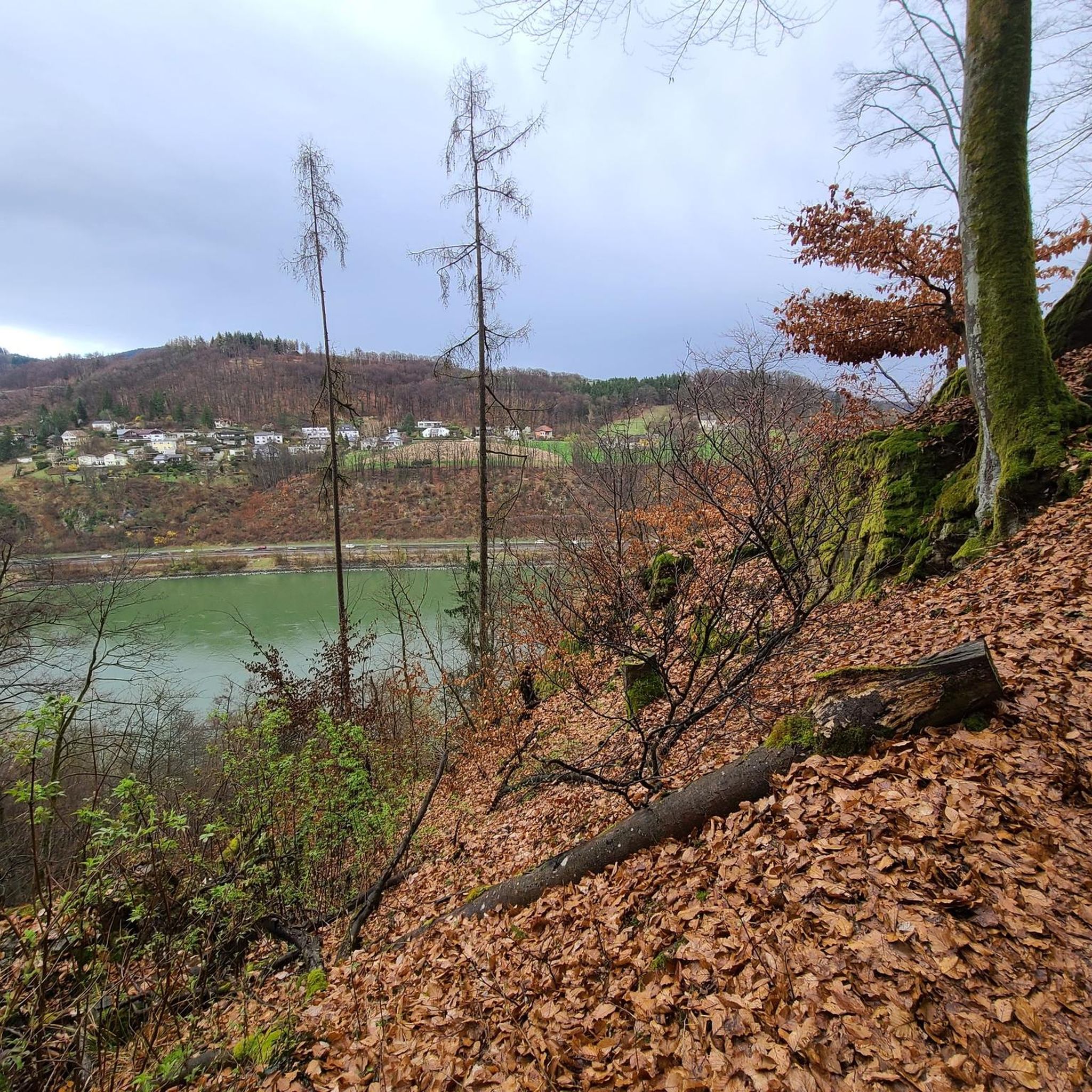
Gravel biking in Kürnbergerwald features a diverse landscape characterized by dense woodlands, river valleys, and elevated viewpoints offering panoramas of the surrounding region, including Linz. The area includes routes that traverse near bathing lakes and along riverbanks, providing varied terrain for gravel cyclists. Elevations range from gentle inclines to more significant climbs, with some routes reaching over 5,500 feet (1600 meters) of ascent. The region's trails offer a mix of forest paths, logging roads, and open sections, suitable for different gravel biking preferences.
Best gravel bike trails in Kürnbergerwald
- The most popular gravel bike trail is Urfahrwänd Suspension Bridge – View of Linz loop from Puchenau West, a 55.1 miles (88.7 km) trail that takes 6 hours 27 minutes to complete. This route includes significant elevation gain and offers views of Linz from elevated sections.
- Another top favourite among local gravel bikers is Rodl Riverside Rest Area – Gis Transmitter and Restaurant loop from Puchenau West, a difficult 23.7 miles (38.2 km) path. This route leads through riverside areas and towards a transmitter.
- Local gravel bikers also love the Parish Church of Pasching – View of the Alps from Leonding loop from Leonding Lokalbahn, a 14.6 miles (23.5 km) trail leading through varied terrain with views of the Alps, often completed in about 1 hour 27 minutes.
- Gravel biking in Kürnbergerwald is defined by dense woodlands, river valleys, and elevated viewpoints. The network offers options for various ability levels, from moderate to difficult routes.
- The routes in Kürnbergerwald are highly rated by the komoot community with an average score of 4.6 stars from over 10 reviews. More than 100 gravel bikers have used komoot to explore Kürnbergerwald's varied terrain.
Last updated: July 3, 2026
5.0
(3)
23
riders
88.7km
06:27
1,690m
1,690m
Hard gravel ride. Very good fitness required. Mostly paved surfaces. Suitable for all skill levels.
6
riders
Moderate gravel ride. Good fitness required. Mostly paved surfaces. Suitable for all skill levels.

Sign up for free
35
riders
84.8km
06:01
1,580m
1,570m
Hard gravel ride. Very good fitness required. Mostly paved surfaces. Suitable for all skill levels.
4.5
(2)
15
riders
Hard gravel ride. Very good fitness required. Mostly paved surfaces. Suitable for all skill levels.
5.0
(1)
10
riders
Moderate gravel ride. Good fitness required. Mostly paved surfaces. Suitable for all skill levels.
Get access to more routes and recommendations from other explorers.
Sign up for free
Already have an account?
Our route recommendations are based on thousands of hikes, rides, and runs completed by other people on komoot.
Start today with a free account
Your next adventure awaits.
Login or Signup

Tips from the Community

Giselawarte was built in 1856 and named after Princess Gisela, a daughter of Emperor Franz Joseph. In 1960, it was increased by two stories.
3
0
Built in 1856 and named after Princess Gisela, a daughter of Emperor Franz Joseph. In 1960, two stories were added.
3
0

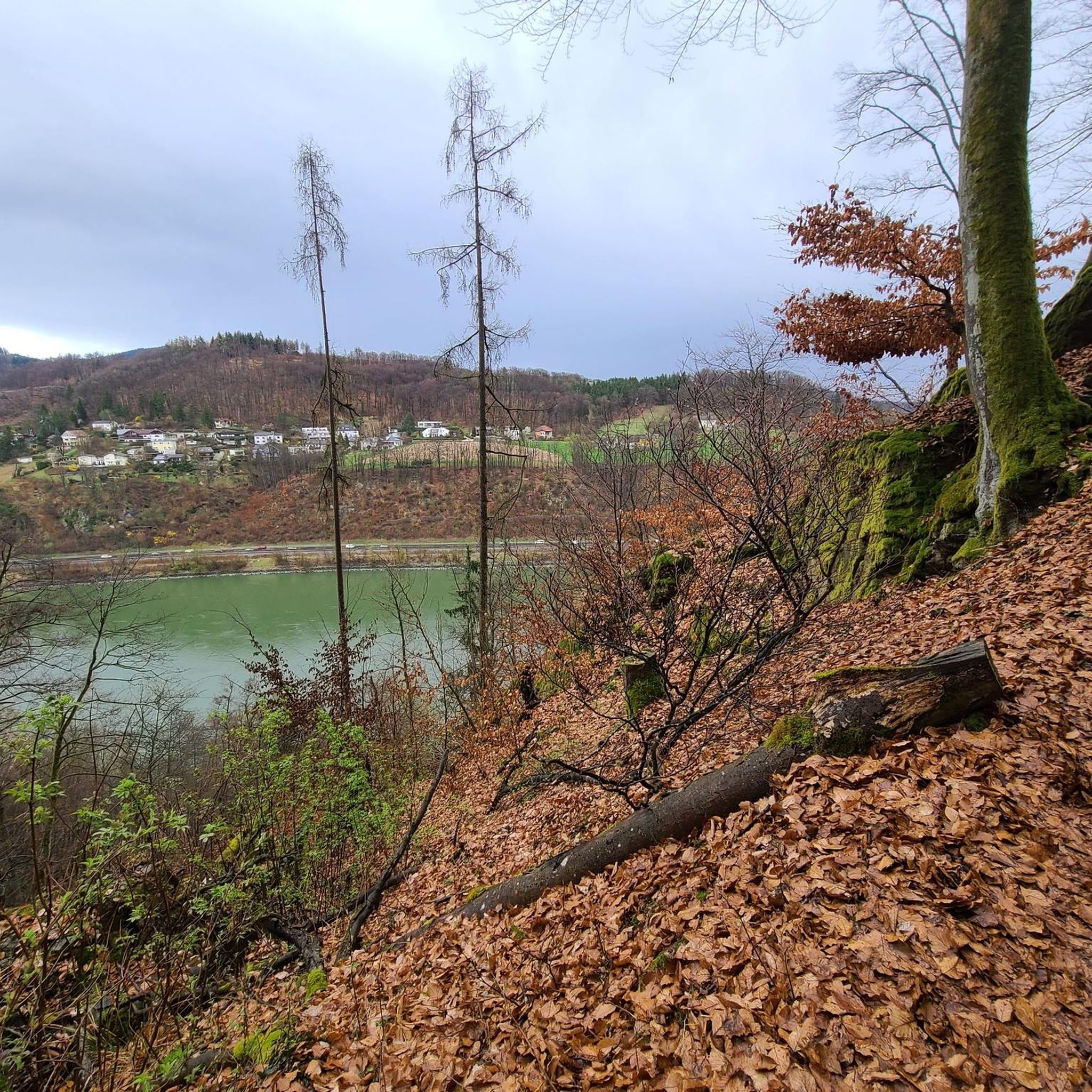
Wonderful view over the lowlands around Hörsching and, in clear weather, to the Alpine peaks
0
0


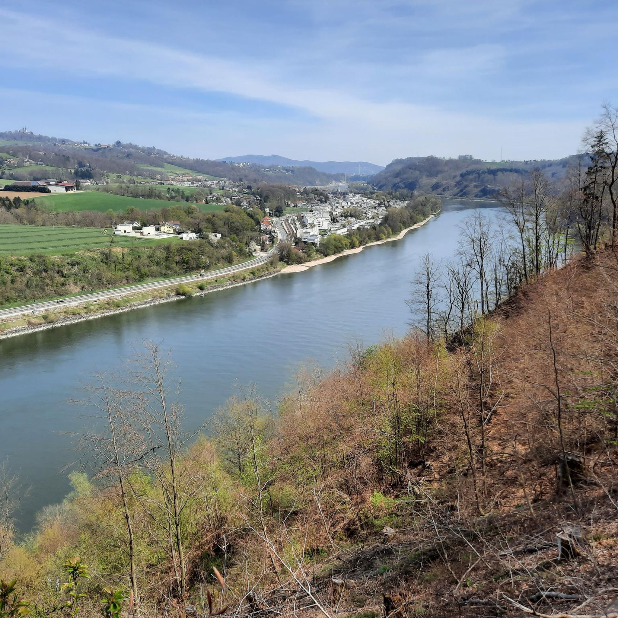
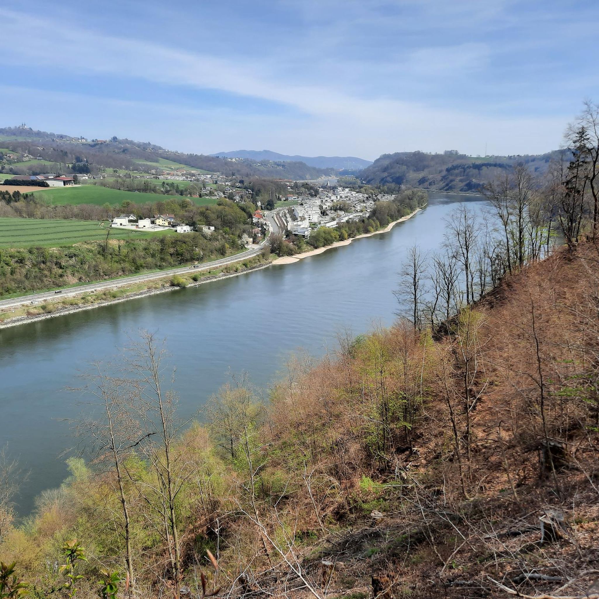
Between Puchenau and Linz, the Danube Cycle Path runs directly along the Danube River, offering a pleasant blend of nature and city life. Along the way, riparian forests, meadows, and sweeping views across the Danube Valley accompany the ride, while the silhouette of Linz becomes visible in the distance. The closer you get to the city, the more vibrant the surroundings become – modern architecture, the Danube Park, and inviting riverside promenades beckon you to take a short break. Finally, the path leads directly into the heart of Linz, where culture, history, and the joy of life converge on the river – a short but particularly beautiful section of the Danube Cycle Path.
6
0

The Pöstlingberg in the hill
5
0
Frequently Asked Questions
How many gravel bike trails are available in Kürnbergerwald?
Kürnbergerwald offers a wide selection of over 60 gravel bike trails, catering to various skill levels. You'll find everything from moderate routes to more challenging rides with significant elevation gains.
Are there gravel bike trails suitable for beginners in Kürnbergerwald?
Yes, Kürnbergerwald has 7 easy and 16 moderate gravel bike routes that are well-suited for beginners or those looking for a less strenuous ride. These trails often feature gentler inclines and traverse through dense woodlands and river valleys.
What are the most challenging gravel bike trails in Kürnbergerwald?
For experienced gravel bikers seeking a challenge, Kürnbergerwald offers 39 difficult routes. One such demanding trail is the Urfahrwänd Suspension Bridge – View of Linz loop from Puchenau West, which covers 88.8 km and includes over 1600 meters of elevation gain, providing panoramic views of Linz from elevated sections.
Are there any family-friendly gravel bike routes in Kürnbergerwald?
While many routes in Kürnbergerwald feature varied terrain and some significant climbs, families can find suitable options among the moderate trails. Look for routes with less elevation gain and shorter distances, such as the Parish Church of Pasching – View of the Alps from Leonding loop from Leonding Lokalbahn, which is 23.5 km long with a moderate difficulty.
Where can I find parking for gravel biking in Kürnbergerwald?
Many gravel bike routes in Kürnbergerwald start from towns like Puchenau or Leonding, where public parking facilities are generally available. For instance, routes often begin near Puchenau West, offering convenient access to the trails.
What is the best time of year for gravel biking in Kürnbergerwald?
The best time for gravel biking in Kürnbergerwald is typically from spring through autumn when the weather is mild and trails are dry. The region's dense woodlands provide pleasant shade during warmer months, and the river valleys are particularly scenic.
Are there circular gravel bike routes in Kürnbergerwald?
Yes, Kürnbergerwald features numerous circular gravel bike routes. A popular example is the Feldkirchner Bathing Lake – Feldkirchen Bathing Lake loop from Puchenau, a 105.7 km trail that circles the bathing lake and offers varied terrain.
Can I find routes with viewpoints in Kürnbergerwald?
Absolutely. Kürnbergerwald is known for its elevated viewpoints. The View of Linz and Pöstlingberg – Gis Transmitter and Restaurant loop from Ottensheim is a great option, offering stunning views of Linz and the Pöstlingberg.
What do other gravel bikers enjoy most about Kürnbergerwald?
The komoot community highly rates gravel biking in Kürnbergerwald, with an average score of 4.5 stars from over 40 reviews. Riders often praise the diverse landscape, including dense woodlands, river valleys, and the rewarding elevated viewpoints. The mix of forest paths and open sections also receives positive feedback.
Are there any routes that follow riverbanks in Kürnbergerwald?
Yes, Kürnbergerwald offers routes that traverse along riverbanks, providing a different riding experience. The Rodl Riverside Rest Area – Gis Transmitter and Restaurant loop from Puchenau West is a 38.2 km trail that leads through scenic riverside areas.
Most popular routes in Kürnbergerwald
Most popular attractions in Kürnbergerwald

Get inspired with the komoot mobile app


Explore more
Browse the best Gravel rides in other regions.
