The best gravel rides in Wagensass
4.8
(31)
258
riders
23
rides
Gravel biking in Wagensass features a diverse landscape, characterized by river valleys, former railway embankments, and rolling hills. The region offers a mix of open paths and sections through wooded areas, providing varied terrain for gravel cyclists. Routes often follow watercourses like the Pegnitz River, connecting historical sites and smaller towns.
Best gravel bike trails in Wagensass
- The most popular gravel bike trail is Geiskirche Cave – Gaisbrunnen near Peilstein loop from Neukirchen bei Sulzbach-Rosenberg, a 21.6 miles (34.7…
Last updated: July 3, 2026
4.5
(8)
60
riders
Hard gravel ride. Very good fitness required. Mostly paved surfaces. Suitable for all skill levels.
5.0
(2)
10
riders
Moderate gravel ride. Good fitness required. Mostly paved surfaces. Suitable for all skill levels.

Sign up for free
7
riders
37.8km
02:10
340m
330m
Hard gravel ride. Good fitness required. You may need to push your bike for some segments of this route.
5.0
(1)
8
riders
83.0km
05:33
1,340m
1,340m
Hard gravel ride. Very good fitness required. You may need to push your bike for some segments of this route.
4.8
(4)
12
riders
20.9km
01:04
120m
120m
Easy gravel ride. Great for any fitness level. Mostly paved surfaces. Suitable for all skill levels.
Get access to more routes and recommendations from other explorers.
Sign up for free
Already have an account?
Our route recommendations are based on thousands of hikes, rides, and runs completed by other people on komoot.
Start today with a free account
Your next adventure awaits.
Login or Signup
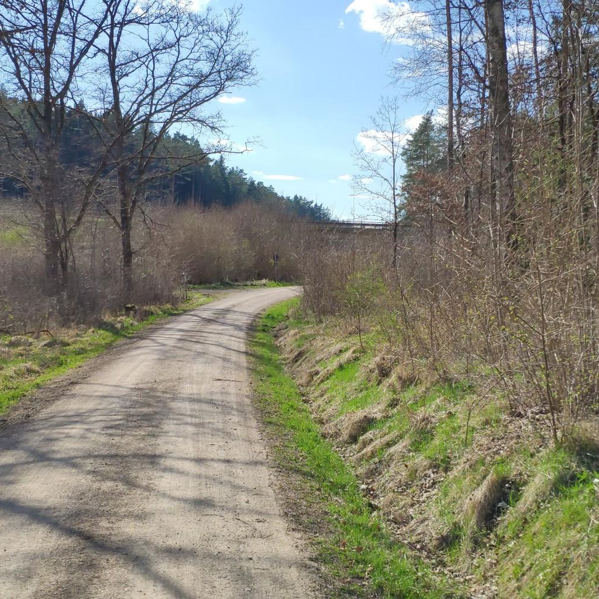
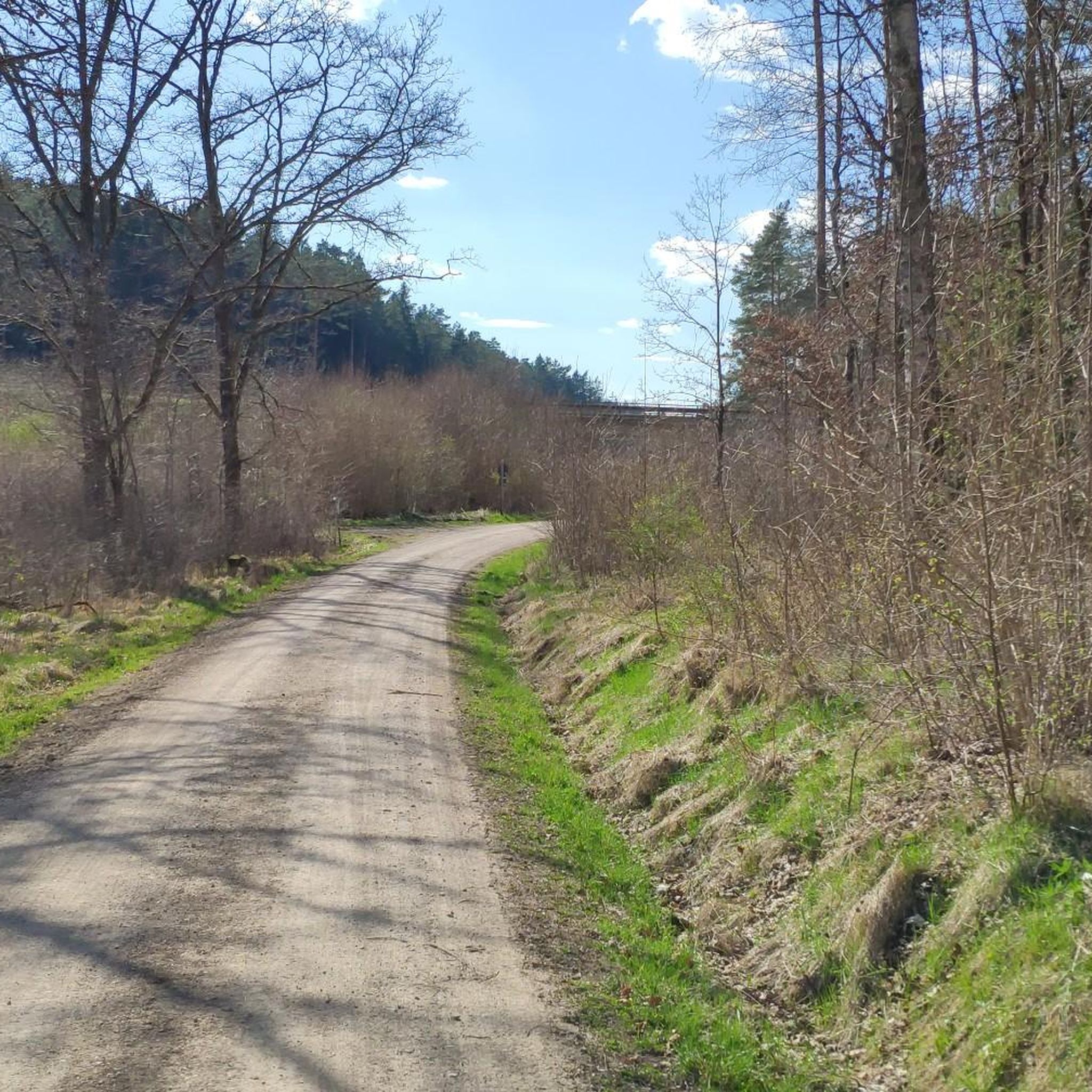
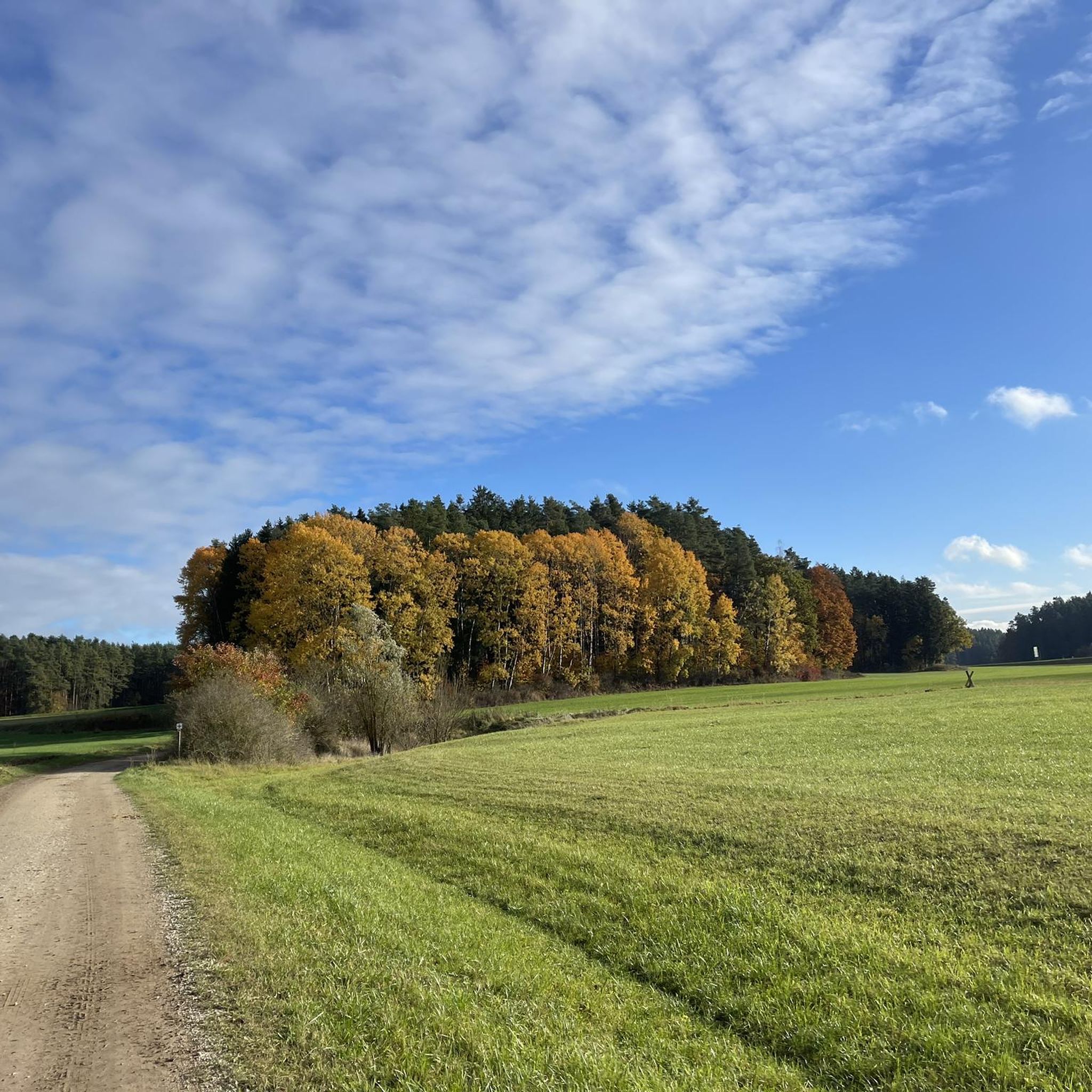
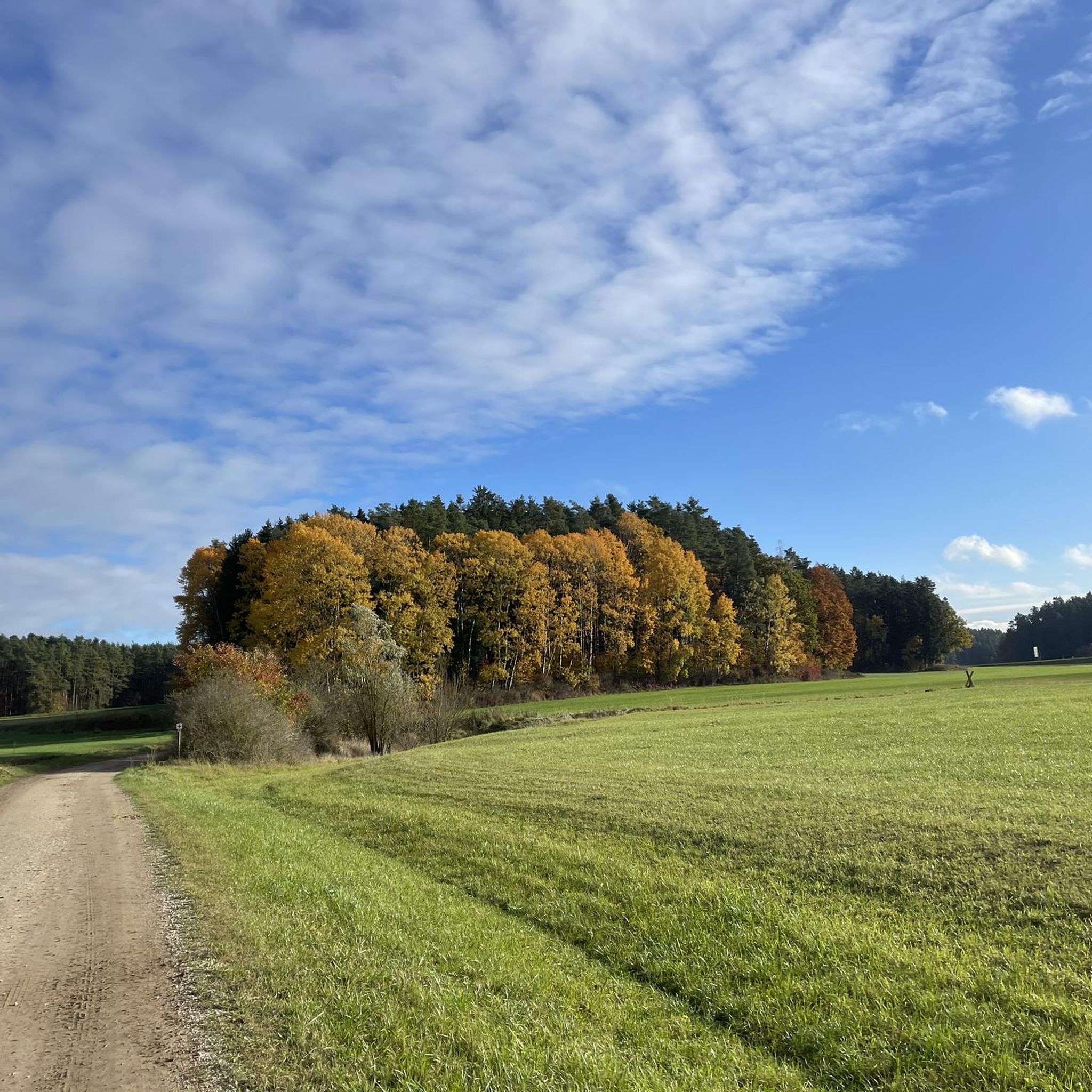
Tips from the Community

Unfortunately, despite the blue sign with two people on it ;) , cyclists ride there too.
0
0


Pure nature, beautifully located small and large pond with a high seat for bird watching
0
0
Simply beautiful to walk the path. Keep your eyes open and you can observe dragonflies, nutria, trout, and ducks.
1
0

View of the Pegnitz River near Velden
0
0

for former settlements at this location
0
0


These bridges can be found here again and again.
2
0
Frequently Asked Questions
How many gravel bike trails are available in Wagensass?
Wagensass offers a wide selection of gravel bike trails, with over 50 routes documented on komoot. These routes cater to various skill levels, including 3 easy, 30 moderate, and 17 difficult options.
Are there beginner-friendly gravel routes in Wagensass?
Yes, Wagensass has several routes suitable for beginners. There are 3 easy gravel bike trails available, perfect for those new to the sport or looking for a relaxed ride. These routes typically feature less challenging terrain and shorter distances.
What options are there for experienced gravel bikers in Wagensass?
Experienced gravel bikers will find plenty of challenging routes in Wagensass, with 17 difficult trails available. One such demanding option is the Pegnitz Riverside Trail – Path Along the Pegnitz River loop from Neukirchen (b Sulzbach-Rosenberg), which covers 37.6 miles (60.5 km) and follows the Pegnitz River.
What is the typical length of gravel bike trails in Wagensass?
Gravel bike trails in Wagensass vary in length. For example, the Geiskirche Cave – Gaisbrunnen near Peilstein loop from Neukirchen bei Sulzbach-Rosenberg is 21.6 miles (34.7 km), while the Pegnitz Riverside Trail extends to 37.6 miles (60.5 km). You'll find routes ranging from shorter, easier rides to longer, more challenging expeditions.
Are there family-friendly gravel bike routes in Wagensass?
While specific 'family-friendly' designations aren't always explicit, the region's diverse landscape includes easier paths that could be suitable for families. Look for routes categorized as 'easy' in the komoot app, which typically have less elevation gain and smoother surfaces. The region's river valleys and former railway embankments often provide gentler gradients.
What kind of scenery can I expect on Wagensass gravel trails?
Wagensass gravel trails offer varied scenery, characterized by river valleys, such as along the Pegnitz River, and routes that follow former railway embankments. You'll also ride through rolling hills and wooded areas, providing a mix of open paths and forest sections. Many routes connect historical sites and smaller towns, adding cultural interest.
Are there any circular gravel bike routes in Wagensass?
Yes, many gravel bike routes in Wagensass are designed as loops. An example is the Gailoh Railway Embankment Path – Amberg's "Stadtbrille" loop from Wirsfeld Abzw. Altensee, which is a 21.6-mile (34.6 km) circular trail. The loop format allows you to start and end at the same point, making logistics easier.
What are some interesting natural sights or attractions along the gravel trails?
Along the gravel trails in Wagensass, you can discover various natural attractions. Highlights include the Inselweiher lake, the Rock Shelter at Wagensaß Recreation Area, and the "Wooden disc" What happened when? natural monument. These offer scenic stops and points of interest during your ride.
What do other gravel bikers enjoy most about gravel biking in Wagensass?
The komoot community highly rates gravel biking in Wagensass, with an average score of 4.7 stars from over 30 reviews. Reviewers often praise the region's diverse landscape, which includes river paths, former railway embankments, and varied forest sections, offering a rich and engaging riding experience for all ability levels.
Are there any historical sites or landmarks to explore near the gravel routes?
Yes, Wagensass offers several historical sites and landmarks. You can visit the Former hamlet of Tuffenthal or explore the Recreation area "Obere Wagensass". The routes often connect these points of interest, allowing you to combine your ride with cultural exploration.
Is there a specific route that follows a former railway line?
Yes, the Gailoh Railway Embankment Path – Amberg's "Stadtbrille" loop from Wirsfeld Abzw. Altensee is a notable route that leads through former railway lines. This 21.6-mile (34.6 km) trail offers a unique riding experience on relatively flat and well-maintained surfaces, characteristic of old railway paths.
Most popular routes in Wagensass
Most popular attractions in Wagensass

Get inspired with the komoot mobile app


Explore more
Browse the best Gravel rides in other regions.
