The best gravel rides in Härebësch
4.5
(17)
243
riders
34
rides
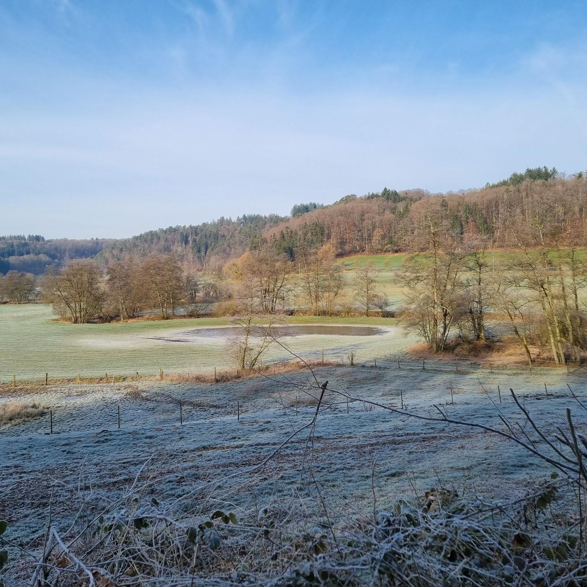
Gravel biking in Härebësch features a landscape characterized by river valleys, historical sites, and forested sections. The region offers varied terrain, including dedicated cycle paths and trails that pass by landmarks such as the Attert Cycle Path and Useldange Castle. Elevations range from moderate climbs to more challenging ascents, providing diverse experiences for gravel riders. The trails often follow natural watercourses like the Eisch River, integrating natural and historical elements into the routes.
Best gravel bike trails in Härebësch
- The…
Last updated: July 8, 2026
6
riders
37.9km
02:23
410m
410m
Moderate gravel ride. Good fitness required. Mostly paved surfaces. Suitable for all skill levels.
5
riders
32.5km
02:11
430m
430m
Moderate gravel ride. Good fitness required. Mostly paved surfaces. Suitable for all skill levels.

Sign up for free
7
riders
33.2km
02:18
310m
310m
Hard gravel ride. Good fitness required. You may need to push your bike for some segments of this route.
5
riders
29.5km
02:30
490m
490m
Hard gravel ride. Very good fitness required. Mostly paved surfaces. Suitable for all skill levels.
5.0
(4)
88
riders
67.1km
04:41
960m
960m
Hard gravel ride. Very good fitness required. Mostly paved surfaces. Suitable for all skill levels.
Get access to more routes and recommendations from other explorers.
Sign up for free
Already have an account?
Our route recommendations are based on thousands of hikes, rides, and runs completed by other people on komoot.
Start today with a free account
Your next adventure awaits.
Login or Signup
Tips from the Community

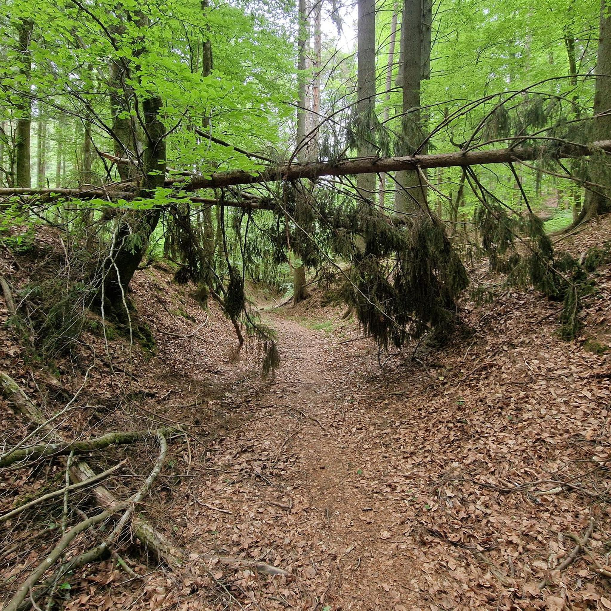
I passed by there on 04/03/2026; the path was blocked, and part of the footbridges were in danger of collapsing.
0
0

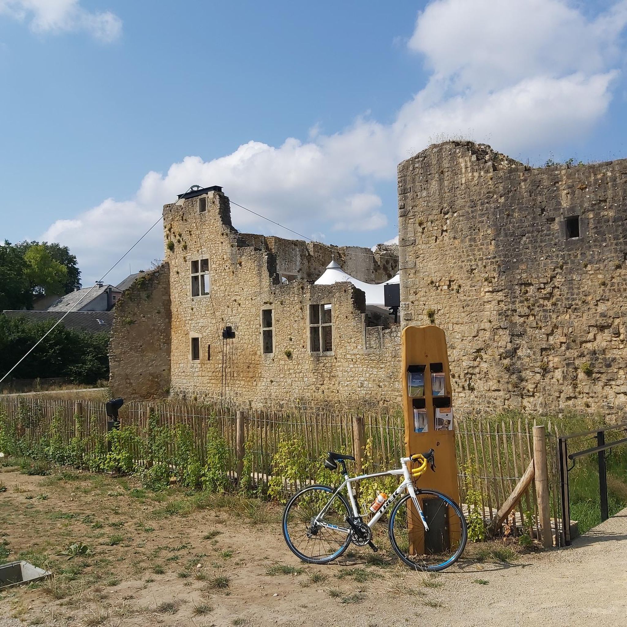
Beautiful old castle with a walkable tower. The climb is definitely worth it. Great view 👍
1
0

A medieval castle located in the center of the village of Useldange. The Attert River flows past the castle. There are several places to stop for refreshments in the village.
1
0

Small area around Useldange Castle, freely accessible
2
0


The Geesebreck with its humpback shape is one of the most picturesque bridges in the country. The bridge was built in 1761 by the mason Reuter. It served to connect Simmern with the Simmerschmelz (foundry), which is located about 2 km downstream of the Eisch, for the lords and owners of the castle. In addition, this bridge also ensures the connection of Simmern with the blacksmiths of Ansembourg, which are further away in the valley. This place is one of the last witnesses, together with the blacksmiths of Ansembourg, of the pre-industrial metallurgical activity in the Eisch valley during the 17th and 18th centuries.
0
0

A beautifully developed former railway line from Eischen leads inland.
5
0
Frequently Asked Questions
How many gravel bike trails are available in Härebësch?
Härebësch offers a wide selection of gravel bike trails, with over 50 routes to explore. These trails cater to various skill levels, from moderate to difficult.
Are there family-friendly gravel biking options in Härebësch?
Yes, Härebësch features several routes suitable for families. For a moderate ride that combines natural and engineered surfaces, consider the Ice Tunnel Hovelange – Attert Cycle Path loop from Septfontaines. This 23.5-mile (37.9 km) path is a good option for a family outing.
What is the best time of year for gravel biking in Härebësch?
The best time for gravel biking in Härebësch is generally from spring through autumn. During these seasons, the weather is typically mild, and the trails are in optimal condition. Winter conditions can bring mud or ice, making some routes more challenging.
Are there any loop gravel trails in Härebësch?
Many of the gravel routes in Härebësch are designed as loops, offering convenient starting and ending points. Examples include the popular Ice Tunnel Hovelange – Attert Cycle Path (PC 12) loop from Koerich and the historical Useldange Castle – Useldange Castle loop from Greisch.
What kind of terrain can I expect on Härebësch gravel trails?
The terrain in Härebësch is varied, characterized by river valleys, historical sites, and forested sections. You'll encounter dedicated cycle paths, natural trails, and some moderate to challenging ascents. Routes often follow natural watercourses like the Eisch River, integrating natural and historical elements.
What are some interesting landmarks or attractions along the gravel routes?
Härebësch's gravel routes pass by several notable landmarks. You can explore historical features like Useldange Castle and sections of the Attert Cycle Path. Other points of interest include the Royal Air Force Stirling Crash Memorial, Koerich, and the Härebësch Forest itself. The Härebesch Observation Platform also offers scenic views.
Are there any advanced or difficult gravel routes in Härebësch?
Yes, Härebësch offers several challenging routes for experienced gravel bikers. The Ice Tunnel Hovelange – Attert Cycle Path (PC 12) loop from Koerich is a difficult 30.9-mile (49.8 km) trail. Another demanding option is the Septfontaines Fountain – Eisch River loop from Kehlen, which is also rated difficult.
What do other gravel bikers enjoy most about Härebësch?
The komoot community highly rates the gravel biking in Härebësch, with an average score of 4.4 stars from over 26 reviews. Riders often praise the varied terrain, the combination of natural beauty with historical sites, and the well-integrated network of trails that cater to different abilities.
Are there any hidden gem gravel bike routes in Härebësch?
While many routes are well-known, exploring trails like the Abandoned Turbine House – Clairefontaine Monastery loop from Habscht can offer a sense of discovery. This difficult route takes you through diverse landscapes and offers unique sights away from the most frequented paths.
What are the typical lengths of gravel bike trails in Härebësch?
Gravel bike trails in Härebësch vary in length, generally ranging from around 19 miles (30 km) to over 30 miles (50 km). For instance, the Useldange Castle – Useldange Castle loop from Greisch is 19.5 miles (31.4 km), while the Ice Tunnel Hovelange – Attert Cycle Path (PC 12) loop from Koerich is 30.9 miles (49.8 km).
Is parking available near the gravel bike trails in Härebësch?
Yes, parking is generally available near the starting points of many gravel bike trails in Härebësch. Specific parking information can often be found on individual route pages on komoot, or by checking local maps for villages like Koerich, Septfontaines, Greisch, Kehlen, or Habscht, which serve as common access points.
Most popular routes in Härebësch
Most popular attractions in Härebësch

Get inspired with the komoot mobile app


