The best gravel rides around gmina gmina Debrzno
4.8
(4)
24
riders
7
rides
Gravel biking around gmina gmina Debrzno features a landscape characterized by rolling terrain, numerous lakes, and forested areas. The region offers varied paths suitable for gravel bikes, including routes that traverse valleys and pass by agricultural lands. Elevations are generally moderate, with most trails featuring gradual ascents and descents. The area provides a mix of natural scenery and rural settings for gravel biking.
Best gravel bike trails around gmina gmina Debrzno
- The most popular gravel bike trail is Debrzynka Valley…
Last updated: July 3, 2026
4.0
(1)
3
riders
16.6km
01:06
70m
70m
Easy gravel ride. Great for any fitness level. Mostly paved surfaces. Suitable for all skill levels.
5.0
(1)
3
riders
26.1km
01:49
130m
130m
Easy gravel ride. Great for any fitness level. Mostly paved surfaces. Suitable for all skill levels.

Sign up for free
2
riders
48.2km
03:27
230m
230m
Moderate gravel ride. Good fitness required. Mostly paved surfaces. Suitable for all skill levels.
5.0
(1)
1
riders
26.5km
01:48
130m
130m
Hard gravel ride. Great for any fitness level. You may need to push your bike for some segments of this route.
4
riders
31.8km
01:56
150m
150m
Moderate gravel ride. Good fitness required. Mostly paved surfaces. Suitable for all skill levels.
Get access to more routes and recommendations from other explorers.
Sign up for free
Already have an account?
Our route recommendations are based on thousands of hikes, rides, and runs completed by other people on komoot.
Start today with a free account
Your next adventure awaits.
Login or Signup
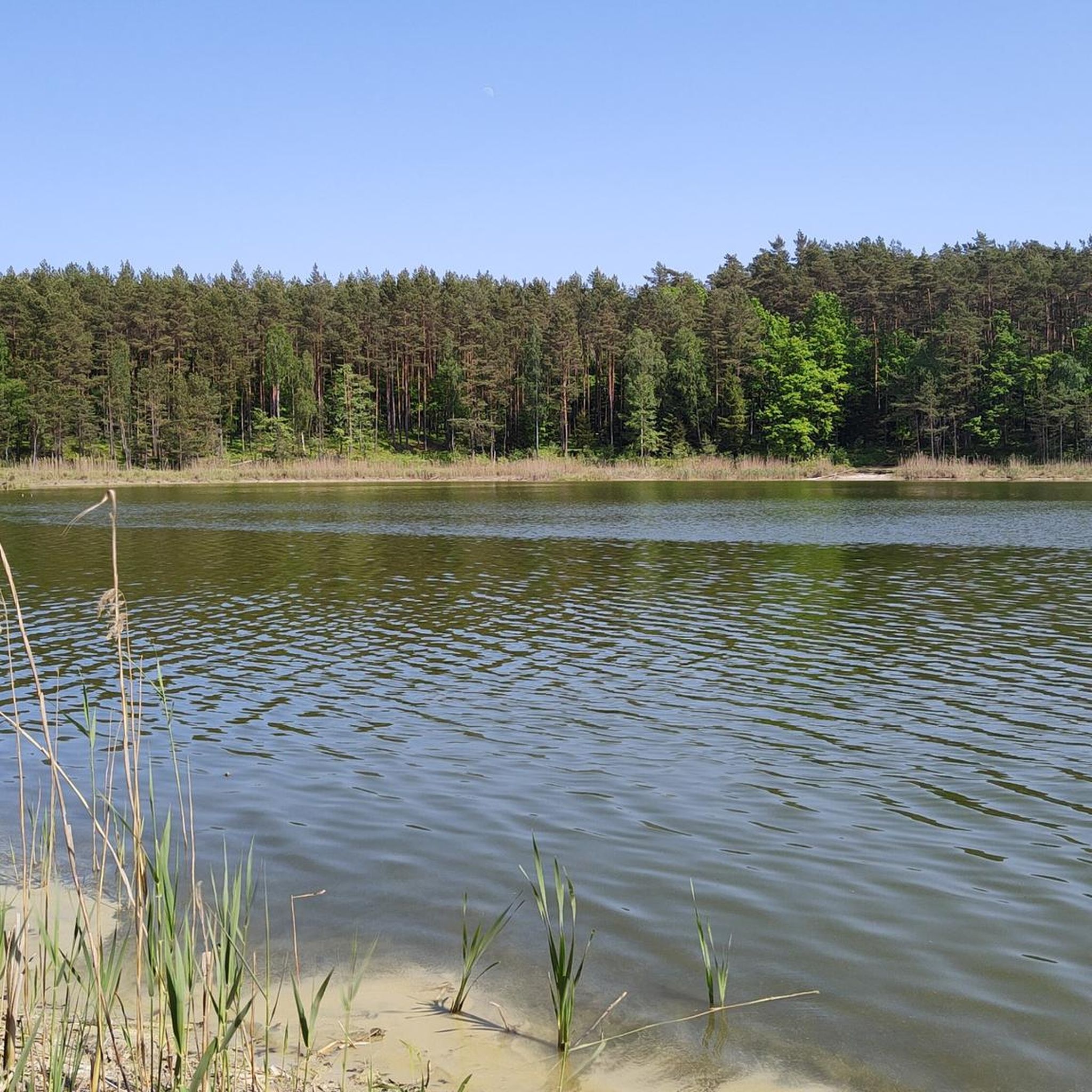
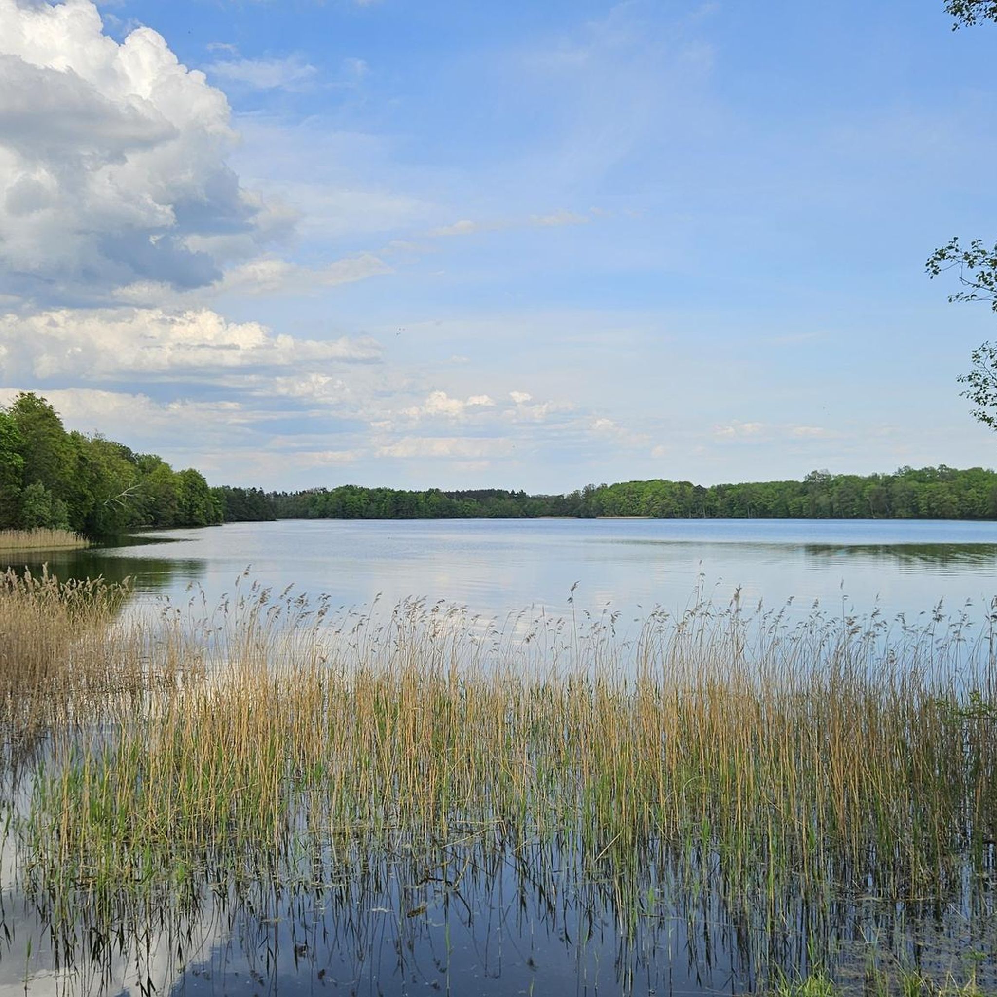
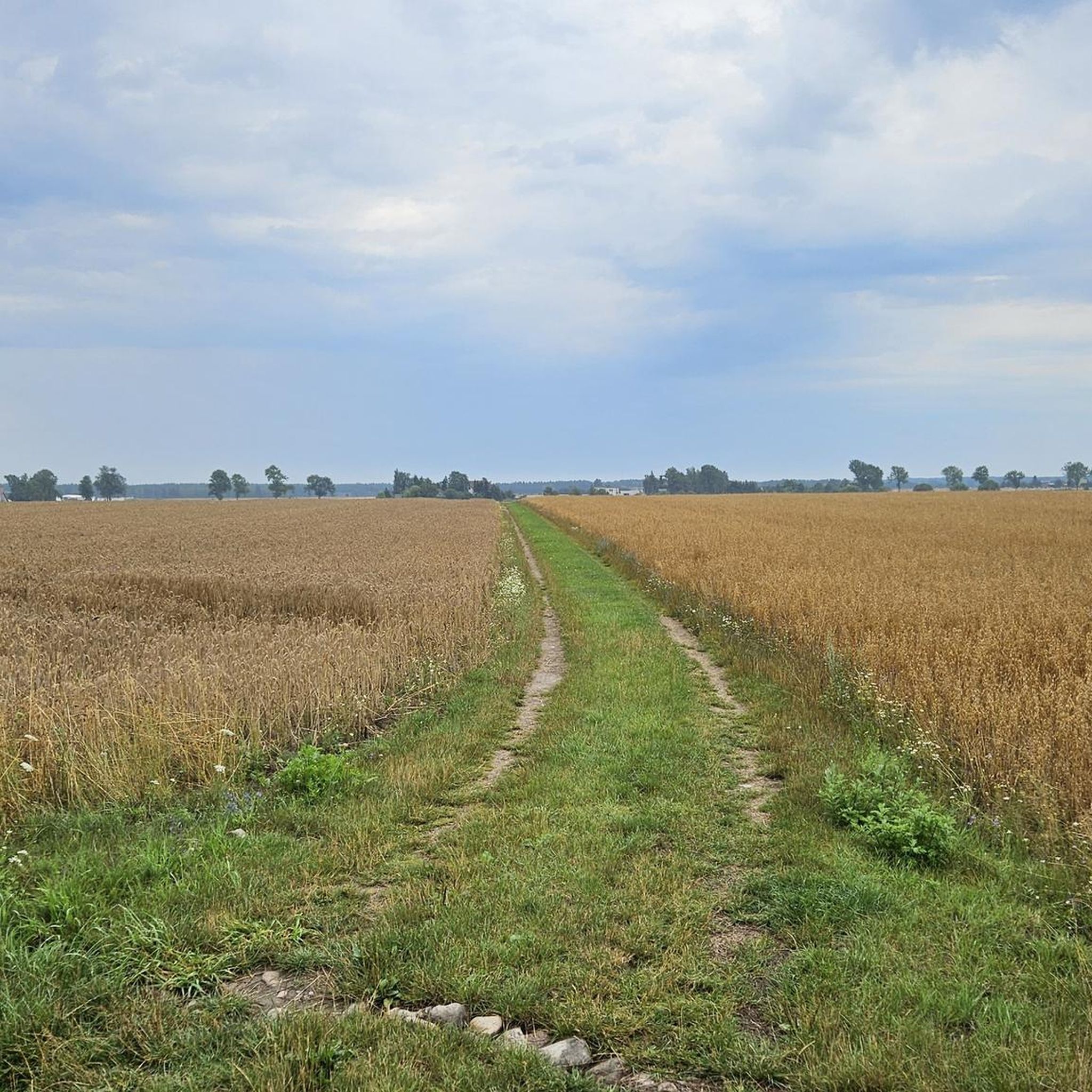
Tips from the Community

Beautiful town square, ideal for a rest.
0
0

The Gothic church of Our Lady Queen of Poland dates back to 1617. The first mention of a church in Prusinów dates back to 1419. Today's church is used by Catholics, although the temple originally belonged to the Evangelical community.
1
0
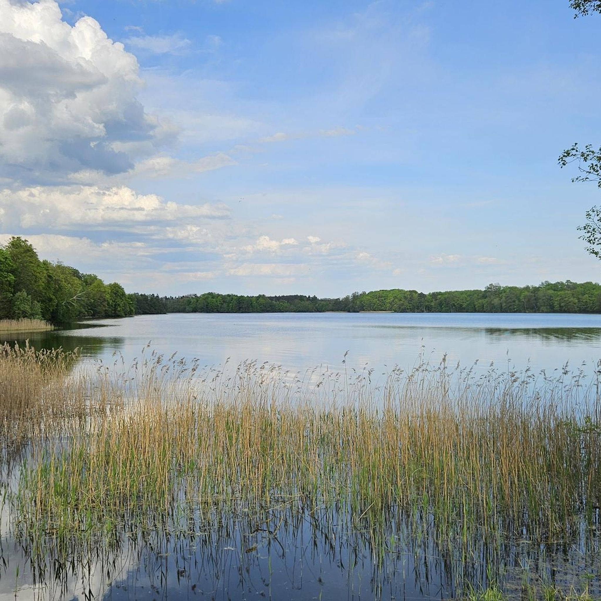
A ribbon lake in Poland, located in the Pomeranian Voivodeship, in Człuchów County, within the administrative boundaries of Człuchów, in the North-Krajen Lakeland. Along the eastern shore of the lake runs the route of the currently suspended Człuchów-Polnica railway line. Near the northern shore of the lake is the "Mokrada nad Jeziorem Łazienkowskim" conservation area.
0
1

After World War II, the owner of the tenement house was a resident of Warsaw, so the building began to be called "Warszawianka".
3
0
In Człuchów, on Królewska Street, there is a charming market square with 19th-century tenement houses. This main square in the city is filled with modern architecture, among which several historic tenement houses have been preserved. One of the more interesting tenement houses is Kamienica pod Pannami. On the front elevation there are figures of maidens, hence the name of the building. One of the girls is holding a sheep, and the other a shovel and a basket of flowers
3
0

At the beginning of the Thirteen Years' War, at the end of February 1454, the Poles took over the castle, and Człuchów became a royal town and the seat of the starosty in 1466. From then on, the mighty fortress stood guard over the north-western border of Poland, which ran 20 km west of Człuchów, for over 300 years. In the final period of the First Polish Republic, the fortress lost its military significance, and the castle buildings were in a state of decline. After a fire in 1793, the residents received permission from King Frederick William II to demolish the castle, and the obtained bricks were used to rebuild the burnt-out houses. The former glory is evidenced today by the mighty tower of the High Castle (46 m), from which you can admire the panorama of Człuchów and the surrounding area. In the years 1826-1828, an Evangelical church was built on the foundations of the castle chapel, and the tower was converted into a belfry. In 1844, the tower's crown was changed to a high battlement. For the bell ringer and tourists, an entrance was made at the bottom of the tower and wooden stairs were made. https://muzeumczluchow.pl/pl/o-muzeum/historia-zamku
3
0
The most important part of the stronghold was the four-winged High Castle, built on a square plan with a side of 47.5 m. Each of the buildings consisted of at least three storeys - a basement, a low ground floor and a high floor above it. The wings were crowned by an attic storey. The whole was dominated by a massive octagonal tower located in the north-west corner of the High Castle. The entrance to it was located at the height of the attics of the castle wings. In the north wing of the castle there was a chapel, in the east wing there was a chapter house - a hall for meetings and councils of the monks, in the south dormitory - a common bedroom for the brothers, and in the west a refectory - a room for eating meals. In the basements and on the upper storeys there were warehouses, armouries, a commander's mill, and in Polish times a brewery. Inside the buildings there was a rectangular courtyard surrounded by cloisters. https://muzeumczluchow.pl/pl/o-muzeum/historia-zamku
3
0
The castle in Człuchów was one of the largest defensive structures built by the Teutonic Knights. It covered an area of 3 hectares, and was second only in size to the seat of the capital of the Teutonic state – the castle of the Grand Master in Malbork. The castle in Człuchów consisted of three outer castles and the High Castle, each of which, if necessary, could constitute an independent defensive perimeter. Communication between parts of the castle was possible via drawbridges built over moats filled with water. Only the moat around the Third Outer Castle was dry. https://muzeumczluchow.pl/pl/o-muzeum/historia-zamku
3
0
Frequently Asked Questions
How many gravel bike trails are available in gmina gmina Debrzno?
There are 8 gravel bike routes in gmina gmina Debrzno, offering a variety of experiences for different skill levels. These routes are highly rated by the komoot community, with an average score of 4.8 stars.
What are the difficulty levels of gravel bike trails in gmina gmina Debrzno?
The trails in gmina gmina Debrzno cater to various abilities. You'll find 2 easy routes, 5 moderate routes, and 1 more challenging route, ensuring options for both beginners and experienced gravel bikers.
Are there any easy or beginner-friendly gravel bike routes in gmina gmina Debrzno?
Yes, gmina gmina Debrzno offers several easy routes suitable for beginners or those looking for a relaxed ride. A great option is the Lake Człuchowskie – Człuchów Market Square loop from Osiedle Piastowskie, which is 10.9 miles (17.6 km) long and takes about 1 hour 15 minutes to complete, featuring pleasant lakeside scenery.
What kind of scenery can I expect on gravel bike trails in gmina gmina Debrzno?
Gravel biking in gmina gmina Debrzno offers a diverse landscape characterized by rolling terrain, numerous lakes, and extensive forested areas. You'll traverse valleys, pass by agricultural lands, and enjoy a mix of natural scenery and rural settings.
Are there any circular gravel bike routes in gmina gmina Debrzno?
Yes, all the gravel bike routes in gmina gmina Debrzno are designed as loops, allowing you to start and finish at the same point. For example, the Sundial With Deer Statue – Krajna Farmstead in Złotów loop from Radawnica is a popular circular option.
What are some interesting landmarks or attractions I can see along the gravel bike trails?
Many routes pass by notable attractions. You can explore historical sites like Człuchów Castle or the Człuchów Town Hall. The region is also rich in natural beauty, with highlights such as Miejskie Lake and the Promenade Along Lake Urzędowe.
What is the longest gravel bike route available in gmina gmina Debrzno?
The longest gravel bike route is the Debrzynka Valley – Shelter with Grill loop from Grodno, which spans 30.0 miles (48.2 km) and typically takes around 3 hours 28 minutes to complete. This route offers an extensive exploration of the Debrzynka Valley.
Are there any routes that offer views of lakes or water features?
Absolutely. The region is known for its numerous lakes. The Miejskie Lake – Lake Człuchowskie loop from Człuchów is a great choice for lakeside scenery, offering views of two distinct lakes.
What is the best time of year for gravel biking in gmina gmina Debrzno?
The best time for gravel biking in gmina gmina Debrzno is generally from spring through autumn. During these seasons, the weather is typically mild, and the natural landscapes, including forests and lakes, are at their most vibrant. Summer offers pleasant conditions for exploring the trails.
What do other gravel bikers enjoy most about gravel biking in gmina gmina Debrzno?
The komoot community highly rates the gravel biking experience in gmina gmina Debrzno, with an average score of 4.8 stars. Reviewers often praise the varied terrain, the peaceful rural settings, and the network of trails connecting picturesque lakes and valleys.
Are there any routes that are more challenging for experienced gravel bikers?
Yes, for those seeking a more demanding ride, the Bridge over the Szczyra – Bridge Over the Szczyra loop from Główna is classified as a difficult route. It covers 26.5 miles (42.7 km) and includes more significant elevation changes.
Most popular routes around gmina gmina Debrzno
Most popular attractions around gmina gmina Debrzno

Get inspired with the komoot mobile app


Explore more
Browse the best Gravel rides in other regions.
