The best gravel rides around Carnot-Moon
4.6
(10)
62
riders
8
rides
Gravel biking around Carnot-Moon, Pennsylvania, offers diverse landscapes, including wooded areas, historical rail-trails, and local parks. The region features a network of multi-use trails, with the Montour Trail providing extensive, relatively flat pathways. Terrain varies from reclaimed strip mines and open fields to areas with moderate elevation changes, making it suitable for different gravel biking experiences.
Best gravel bike trails around Carnot-Moon
- The most popular gravel bike trail is Enlow Tunnel – McDonald Trestle Bridge loop from The Mall at…
Last updated: October 14, 2026
4.5
(4)
18
riders
Hard gravel ride. Very good fitness required. Mostly paved surfaces. Suitable for all skill levels.
4.5
(2)
13
riders
38.5km
02:01
220m
220m
Moderate gravel ride. Good fitness required. Mostly paved surfaces. Suitable for all skill levels.

5.0
(1)
8
riders
Easy gravel ride. Great for any fitness level. Mostly paved surfaces. Suitable for all skill levels.
5.0
(1)
11
riders
34.9km
01:54
230m
240m
Moderate gravel ride. Good fitness required. Mostly paved surfaces. Suitable for all skill levels.
6
riders
18.3km
01:00
140m
140m
Easy gravel ride. Great for any fitness level. Mostly paved surfaces. Suitable for all skill levels.
Get access to more routes and recommendations from other explorers.
Already have an account?
Our route recommendations are based on thousands of hikes, rides, and runs completed by other people on komoot.
Start today with a free account
Your next adventure awaits.

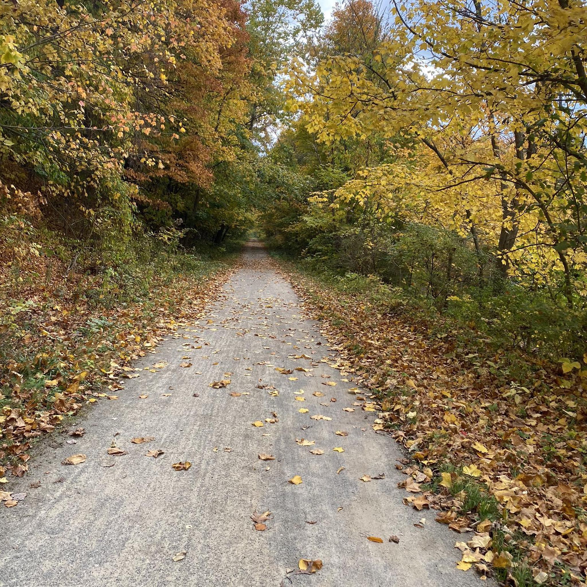

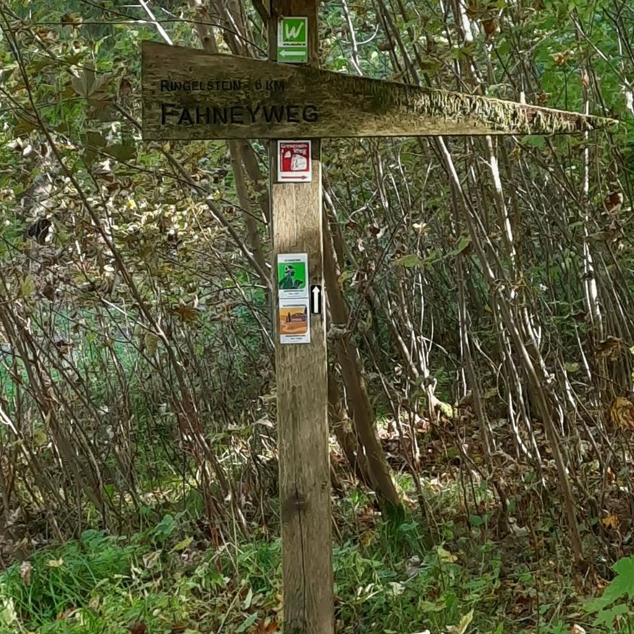

Tips from the Community

This tunnel is completely closed and donation money is being collected to rebuild it. It will possibly reopen in September of 2027.
0
0


The McDonald Trestle is a historic former railroad bridge, and is now a nearly 1,000‑foot long pedestrian and cycling viaduct on the Montour Trail.
0
0

Wet tunnel with water dripping from ceiling. Very cold almost icy.
0
0

The Montour Trail offers a prime example of a superb rail-trail experience right in the vicinity of Pittsburgh. As one of the nation's longest suburban rail-trails, spanning approximately 47 miles along a relatively flat half-loop, from Coraopolis by the Ohio River to Clairton along the Monongahela River, it provides an extensive recreational pathway. Branch routes extend its length to over 60 miles, with a northwest branch directly linking to Pittsburgh International Airport. Additionally, it seamlessly connects with other regional trails, including the Great Allegheny Passage and the C&O Canal Towpath, forming part of the extensive 300+ mile trail network from Pittsburgh to Washington, DC. It's easily accessible by car and public transit, with numerous access points and ADA-compliant facilities along the way, ensuring a convenient and inclusive experience for all trail users.
0
0

The Forestbrooke Conservation Area is a 7-acre haven for plants and animals. As you ride along the Montour Trail, you'll have a great opportunity to take in the sights and sounds of nature.
0
0
Enlow Tunnel, a remarkable feat of engineering, was excavated through the hillside in 1926 as part of a realignment initiative by the Montour Railroad. Its construction aimed to eradicate multiple challenging curves in the railroad's original main line. Stretching 575 feet, this tunnel replaced a half-mile section of track that previously wound around the hill alongside Montour Run.
0
0
The McDonald Trestle, an impressive feature of the Montour Trail, offers breathtaking vistas spanning 962 feet as it gracefully traverses over the Panhandle Trail. Accessible via the "connector trail" north of the bridge on the Montour Trail or west of the bridge on the Panhandle Trail, this scenic bridge provides an unforgettable experience for trail enthusiasts seeking stunning views of the surrounding landscape.
0
0
Frequently Asked Questions
How many gravel bike trails are available around Carnot-Moon?
Carnot-Moon offers a number of gravel biking routes, with komoot featuring 7 distinct tours. These range from moderate to difficult, providing options for various skill levels.
What kind of terrain can I expect on gravel bike trails in Carnot-Moon?
The terrain around Carnot-Moon is quite varied. You'll encounter historical rail-trails, such as sections of the extensive Montour Trail, alongside wooded conservation areas and diverse parklands. Some routes feature reclaimed strip mines and open fields, while others include moderate elevation changes.
Are there any family-friendly gravel biking options in Carnot-Moon?
While the region offers routes of varying difficulty, the extensive Montour Trail is known for its relatively flat and well-maintained pathways, making it a good choice for families. Look for routes that incorporate longer sections of this rail-trail for a more relaxed experience.
What are some notable landmarks or natural features I might see along the trails?
Many routes feature the historic Enlow Tunnel, a 575-foot remnant of the Montour Railroad. You might also pass by Pinkertons Run Pond, or explore areas like the Audubon Greenway Conservation Area. The Cave on Cave Trail is another unique point of interest.
Are there any circular gravel bike routes in the area?
Yes, many of the gravel routes in Carnot-Moon are designed as loops. For example, the Enlow Tunnel – Montour Trail loop from Glenfield and the Gravel loop from Trout Run Conservation Area are popular circular options.
What is the best time of year for gravel biking in Carnot-Moon?
The region's diverse natural environments, including Montour Woods, are particularly vibrant in autumn and winter. However, spring and summer also offer pleasant conditions. It's always a good idea to check local weather and trail conditions before heading out.
Are there any challenging gravel bike routes for experienced riders?
For experienced riders seeking a challenge, the Enlow Tunnel – McDonald Trestle Bridge loop from The Mall at Robinson is classified as difficult. This 71.1 km route features over 500 meters of elevation gain, exploring varied terrain including the historic Enlow Tunnel.
What do other gravel bikers enjoy most about the trails in Carnot-Moon?
The gravel biking routes in Carnot-Moon are highly rated by the komoot community, with an average score of 4.3 stars from over 9 reviews. Riders often praise the varied terrain, the integration of historical rail-trails like the Montour Trail, and the scenic beauty of the wooded areas and conservation lands.
Are there any moderate length gravel bike trails suitable for a half-day ride?
Absolutely. Routes like the Enlow Tunnel – Montour Trail loop from The Mall at Robinson, which is 45.1 km long and typically takes around 3 hours, are perfect for a moderate half-day adventure. Another option is the Enlow Tunnel – The Cave on Cave Trail loop from Moon Township, at 42.5 km.
Is parking readily available near the gravel bike trails?
Many routes start from accessible locations like The Mall at Robinson or Moon Township, suggesting that parking is generally available. For specific starting points, it's recommended to check the individual route details on komoot for parking information.
Can I access these gravel trails using public transport?
While the region is well-connected by road, direct public transport access to all trailheads might be limited. The Montour Trail, a central feature of many routes, has various access points, some of which may be reachable by local bus services. It's best to research specific public transport routes to your chosen trailhead.
Most popular attractions around Carnot-Moon

Get inspired with the komoot mobile app


Explore more
Browse the best Gravel rides in other regions.
