The best gravel rides around Oak Hills
4.1
(9)
103
riders
6
rides
Gravel biking around Oak Hills traverses diverse landscapes, characterized by rolling grasslands, verdant valleys, and remote roads. The terrain often features a mix of paved sections, dirt paths, and double tracks, with significant elevation changes. Riders can expect steady inclines and descents, providing both challenge and scenic beauty across varied natural environments. The region's gravel routes are known for their substantial climbing and mileage, immersing cyclists in dynamic natural settings within extensive forest road networks.
Best gravel bike trails around…
Last updated: July 12, 2026
4.7
(6)
60
riders
35.5km
02:36
860m
860m
Hard gravel ride. Very good fitness required. Mostly paved surfaces. Suitable for all skill levels.
4.5
(2)
14
riders
13.8km
00:57
290m
290m
Moderate gravel ride. Good fitness required. Mostly paved surfaces. Suitable for all skill levels.

Sign up for free
9
riders
101km
05:46
1,160m
1,160m
Hard gravel ride. Very good fitness required. Mostly paved surfaces. Suitable for all skill levels.
3.0
(1)
14
riders
59.6km
03:50
1,070m
1,070m
Hard gravel ride. Very good fitness required. Mostly paved surfaces. Suitable for all skill levels.
6
riders
Hard gravel ride. Very good fitness required. Mostly paved surfaces. Suitable for all skill levels.
Our route recommendations are based on thousands of hikes, rides, and runs completed by other people on komoot.
Start today with a free account
Your next adventure awaits.
Login or Signup



Tips from the Community

Short bikeway we use constantly. You can get to it using bike lanes, bike trails and residential streets
0
0

This trailhead marks a popular route for hikers in the area. It is .3 miles from the Wild Cherry Trail, .9 miles to the Dogwood Trail and 1.4 miles to the Alder Trail. If you head west, all of these connector trails reach the Wildwood Trail, which offers ample opportunities to create loop variations. It is important to note that parking is limited, especially on the weekends.
0
0

One hell of a climb up here from US 30 on the South end - but worth it! Great views and a decent crossing (once you climb to the bridge itself).
0
0

The St. Johns Bridge is a steel suspension bridge that stretches across the Willamette River. It has a total length of 2,067 feet, and is the tallest bridge in Portland. Construction began just before the Stock Market Crash of 1929, providing crucial employment to many local residents during the Great Depression.
0
0

Dawson Creek Park is a lovely park with a multi-use trail system that goes along the lakes and grassland. The shaded green areas around the lakes are perfect to stop for a break and take some time to observe the ducks, otters and other small animals that live in the area.
0
0

This trail is a classic in Forest Park. It is popular with runners as well as walkers and cyclists. The trail is well maintained and runs through the forest from start to end, which makes it a great option for hot days.
1
0

The Rock Creek Greenway is a beautiful stretch of wooded green-space between Orchard Park and Bethany Lake. The Rock Creek Trail passes through the greenway.
0
0

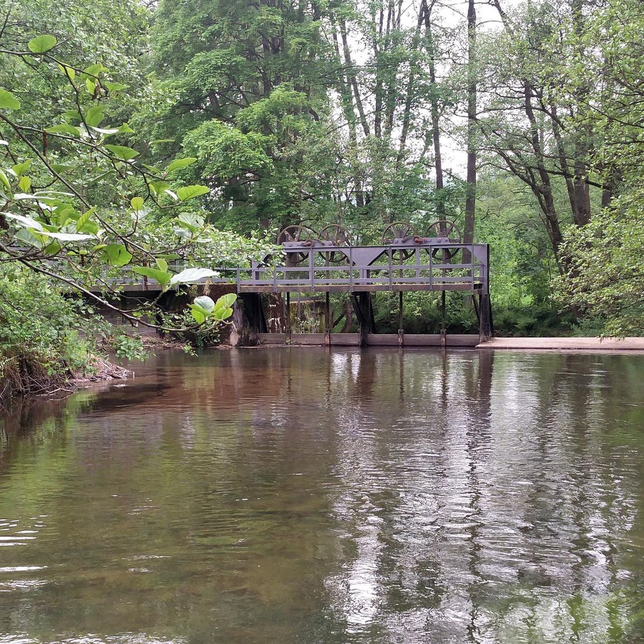
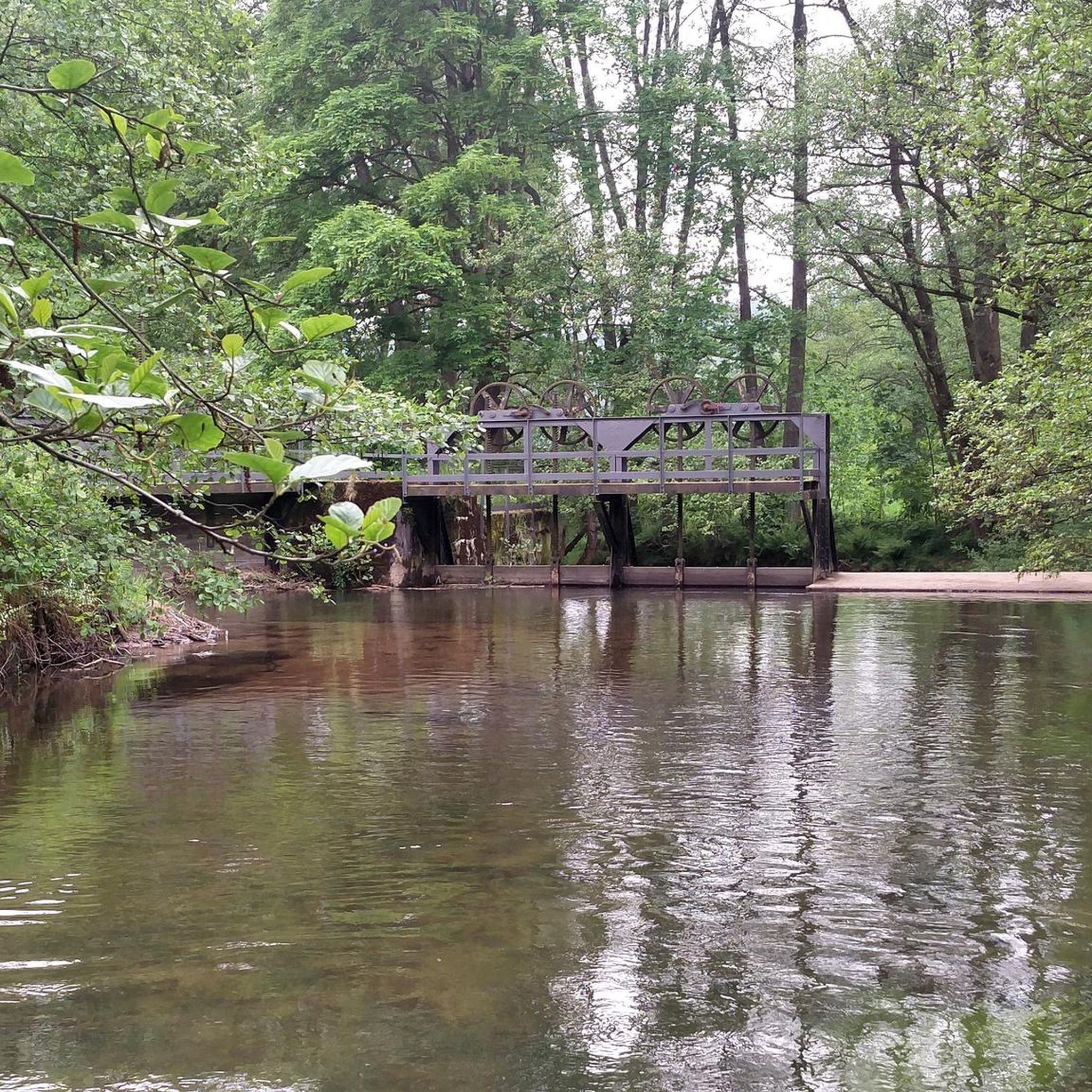
Shadow Springs is a nature preserve that shares borders with Orchard Park and Amberview Park along the Rock Creek Trail. There are lots of bridges in the park, and you can connect to a few different trails in the preserve.
0
0
Frequently Asked Questions
What kind of terrain can I expect on gravel bike trails around Oak Hills?
Gravel biking around Oak Hills offers a diverse landscape, featuring a mix of paved sections, dirt paths, and singletrack. You'll encounter rolling grasslands, verdant valleys, and remote roads. The routes often include significant elevation changes with steady inclines and descents, providing both challenge and scenic beauty.
Are there any easy or beginner-friendly gravel bike trails in Oak Hills?
The gravel bike trails listed for Oak Hills are generally considered challenging, with all seven routes rated as 'difficult'. They involve substantial climbing and mileage, making them more suitable for experienced riders. For example, the Northwest Leif Erikson Drive – Leif Erikson Drive loop from Forest Park is a difficult 17.3-mile route.
What are the typical distances and elevation gains for gravel rides in Oak Hills?
Gravel rides in Oak Hills vary in length and elevation. For instance, the Leif Erikson Drive – Northwest Leif Erikson Drive loop from Willow Creek/Southwest 185th Avenue Transit Center is a challenging 33.3-mile (53.6 km) path with over 970 meters of elevation gain. Another route, the Shadow Springs – Rock Creek Trail loop from Orenco, spans over 62 miles (101.3 km) with more than 1150 meters of climbing.
What natural features or landmarks can I see along the gravel bike trails in Oak Hills?
While riding in Oak Hills, you can explore several natural and historical points of interest. Notable attractions include the Lower Macleay Trailhead, the historic Stone House, and the scenic Barbara Walker Crossing. You might also pass through the Hoyt Arboretum and the beautiful International Rose Test Garden.
Are there any loop routes for gravel biking in Oak Hills?
Yes, many of the gravel bike trails in Oak Hills are designed as loops, allowing you to start and end at the same point. Examples include the Leif Erikson Drive – Northwest Leif Erikson Drive loop from Bridlemile, which covers 26.1 miles, and the Northwest Leif Erikson Drive – Leif Erikson Drive loop from Forest Park.
What do other gravel bikers enjoy most about the trails in Oak Hills?
The gravel biking routes in Oak Hills are highly rated by the komoot community, with an average score of 3.75 stars from over 3 reviews. Riders often praise the varied terrain, significant elevation changes, and the immersive natural environment that includes rolling grasslands and verdant valleys.
What is the best season for gravel biking in Oak Hills?
The Oakland Hills in California, which share similar characteristics with other Oak Hills regions, are generally good for biking year-round, though conditions can vary. Spring and fall often offer pleasant temperatures. Some areas, like Oak Hill Natural Area in New Hampshire, have specific 'mud seasons' or winter closures, so it's always best to check local conditions before you go.
Are the gravel bike trails in Oak Hills suitable for families or dog-friendly?
The listed gravel routes in Oak Hills are predominantly rated as 'difficult' due to significant elevation changes and mileage, which might not be ideal for young children or casual family rides. While some multi-use trails in other 'Oak Hills' locations (like Oak Hill Natural Area in NH or Cuyahoga Valley National Park in OH) are dog-friendly, specific regulations for the challenging gravel routes in this guide are not detailed. It's advisable to check local park rules regarding dogs on trails.
Where can I find parking or public transport access for gravel biking in Oak Hills?
Specific parking details for all trailheads are not provided in the route descriptions. However, some routes, like the Leif Erikson Drive – Northwest Leif Erikson Drive loop, start from locations like the Willow Creek/Southwest 185th Avenue Transit Center, suggesting public transport accessibility for certain routes. For other starting points, it's recommended to check local parking availability near the trailheads.
Are there any cafes or accommodation options near the gravel bike routes in Oak Hills?
While the guide focuses on the trails themselves, the region around Oak Hills, particularly if referring to the Oakland Hills in California or areas near Portland, Oregon (where some routes like Leif Erikson Drive are located), offers various amenities. You'll likely find cafes, pubs, and accommodation options in nearby towns and urban centers. It's best to plan your route and then search for services in the closest communities.
What is the longest gravel bike route available in Oak Hills?
The longest gravel bike route featured in this guide is the Shadow Springs – Rock Creek Trail loop from Orenco, which spans an impressive 62.9 miles (101.3 km) and includes over 1150 meters of elevation gain.
Most popular attractions around Oak Hills

Get inspired with the komoot mobile app


Explore more
Browse the best Gravel rides in other regions.
