The best gravel rides around Pluckemin
4.7
(16)
302
riders
21
rides
Gravel biking around Pluckemin offers a variety of routes through rolling terrain, often characterized by open "horse country" landscapes and paths alongside the North Branch River. The region features moderate elevation changes, with some routes including significant climbs. These trails provide access to varied rural scenery, suitable for different skill levels.
Best gravel bike trails around Pluckemin
- The most popular gravel bike trail is Bridge over North Branch River loop from Far Hills, a 31.2 miles (50.2 km) trail…
Last updated: July 9, 2026
29
riders
92.0km
05:34
960m
960m
Hard gravel ride. Very good fitness required. Mostly paved surfaces. Suitable for all skill levels.
5.0
(1)
15
riders
25.2km
01:46
170m
170m
Moderate gravel ride. Good fitness required. Mostly paved surfaces. Suitable for all skill levels.

Sign up for free
4.0
(1)
21
riders
68.1km
04:03
530m
530m
Hard gravel ride. Very good fitness required. Mostly paved surfaces. Suitable for all skill levels.
22
riders
74.4km
04:44
810m
810m
Hard gravel ride. Very good fitness required. Mostly paved surfaces. Suitable for all skill levels.
5.0
(1)
15
riders
55.3km
03:39
670m
670m
Hard gravel ride. Very good fitness required. Mostly paved surfaces. Suitable for all skill levels.
Get access to more routes and recommendations from other explorers.
Sign up for free
Already have an account?
Our route recommendations are based on thousands of hikes, rides, and runs completed by other people on komoot.
Start today with a free account
Your next adventure awaits.
Login or Signup


Tips from the Community

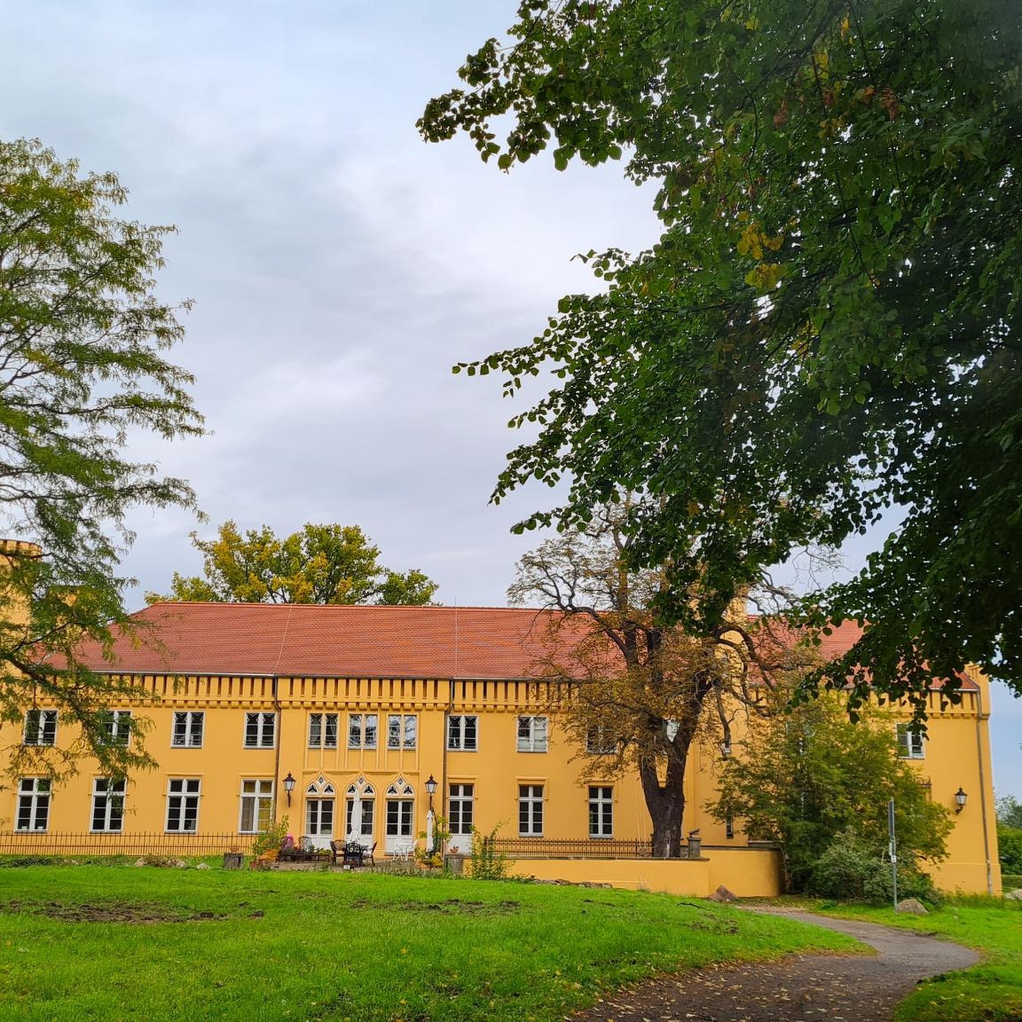
The old train station was built in the late 1800s for the Central Railroad of New Jersey. Today, it serves as a hub for the Califon Historical Society and access point for the Columbia Rail Trail. Supposedly, the name Califon comes from a shortening of "California", since the painter creating the station map didn't leave enough room for the original title.
0
0

The Columbia Trail is a gorgeous Greenway along the South Branch Raritan River from this trail head to High Bridge, almost 15.5 miles to the south. Absolutely incredible views all the way through, autumn could be the best time to enjoy the trail. This parking at the northern trailhead isn't very big, but a couple of cars can fit in it.
0
0

This 978-acre area was once an iron ore mine site in the 1800s. It has now become a very popular park, thanks to the miles of trails and the Black River running through it.
1
0

The Whittemore Wildlife Sanctuary is a small nature sanctuary dedicated to environmental education on Rockaway Road. In addition to special events like, environmental workshops and guided walks, yoga classes, and arts programming, like concerts, there is a network of trails open to the public from dawn to dusk. Please visit https://www.whittemoreccc.org/ for more information.
0
0
Frequently Asked Questions
How many gravel bike trails are available around Pluckemin?
There are 19 gravel bike routes available around Pluckemin. These routes offer a diverse range of experiences, from moderate riverside paths to challenging climbs through horse country.
What are the typical lengths and durations of gravel bike trails in Pluckemin?
Gravel bike trails around Pluckemin vary significantly in length and duration. You can find shorter loops, like the Bridge over North Branch River – Horse country loop from Pluckemin, which is 16.7 miles (26.9 km) and takes about 2 hours 15 minutes. Longer, more challenging routes, such as the Horse country – Califon Train Station loop from Far Hills, stretch over 57 miles (91.9 km) and can take more than 5 hours to complete.
Are there beginner-friendly gravel bike routes in the Pluckemin area?
Yes, while many routes offer moderate to difficult challenges, there are options suitable for those looking for a less strenuous ride. The region's varied terrain includes paths with gentler elevation changes, often alongside the North Branch River, which can be more accommodating for beginners.
What kind of terrain can I expect on gravel bike trails around Pluckemin?
Gravel biking in Pluckemin is characterized by a mix of open 'horse country' landscapes, paths winding alongside the North Branch River, and rolling hills. You'll encounter varied rural scenery, with some routes featuring significant climbs and others offering more moderate elevation changes.
Are there any challenging gravel bike routes for experienced riders near Pluckemin?
Absolutely. For experienced riders seeking a challenge, routes like the Horse country – Bridge over North Branch River loop from Far Hills offer a difficult 34.6 miles (55.7 km) path with extensive horse country exploration and significant elevation gain. Another demanding option is the Horse country – Califon Train Station loop from Far Hills, which is over 57 miles long with substantial climbing.
What is the best time of year to go gravel biking in Pluckemin?
The rolling terrain and open landscapes of Pluckemin are enjoyable throughout the spring, summer, and fall. Spring offers lush greenery, while autumn provides beautiful foliage. Summers are generally pleasant, though it's always wise to check local weather forecasts and prepare for varying conditions.
Are there any loop trails for gravel biking in Pluckemin?
Many of the gravel bike routes around Pluckemin are designed as loops, allowing you to start and finish at the same point. Examples include the popular Bridge over North Branch River loop from Far Hills and the Bridge over North Branch River – Horse country loop from Pluckemin.
What do other gravel bikers enjoy most about the Pluckemin area?
The area is highly rated by the komoot community, with an average score of 4.7 stars from over 16 reviews. Reviewers often praise the diverse rural scenery, the blend of riverside paths and open horse country, and the variety of routes suitable for different skill levels.
Are there any gravel bike routes that pass through or near towns with amenities like cafes?
While specific cafe locations aren't detailed for each route, many trails in the Pluckemin area connect to or pass near small towns and villages. Routes starting from Far Hills or Pluckemin itself often provide access to local amenities where you can find refreshments and cafes.
What should I know about parking when planning a gravel bike ride in Pluckemin?
Many of the popular routes, such as those starting from Far Hills or Pluckemin, typically have designated parking areas nearby. It's always a good idea to check the specific tour details on komoot for information regarding starting points and available parking facilities.
Are there any permits required for gravel biking in the Pluckemin region?
Based on available information, there are no specific permits mentioned as being required for general gravel biking on the trails around Pluckemin. However, always be mindful of private property and local regulations, especially when riding through 'horse country' areas.
Can I expect to see wildlife while gravel biking in Pluckemin?
Given the region's rural character, open landscapes, and proximity to the North Branch River, it's possible to encounter various wildlife during your ride. Keep an eye out for local birds, deer, and other small animals, particularly in quieter sections of the trails.

Get inspired with the komoot mobile app


Explore more
Browse the best Gravel rides in other regions.
