The best gravel rides around Hillsdale
3.9
(15)
83
riders
7
rides
Gravel biking around Hillsdale, Michigan, offers diverse landscapes characterized by rolling farmlands and extensive unpaved county roads. The region features a mix of natural areas, including state game areas and numerous lakes, providing varied terrain for gravel cyclists. Riders can expect to encounter a combination of dirt sections, rough pavement, and gravel roads. The landscape transitions from open agricultural fields to forested areas, offering varied scenery throughout the county.
Best gravel bike trails around Hillsdale
- The most popular gravel bike…
Last updated: July 12, 2026
4.0
(8)
24
riders
Moderate gravel ride. Good fitness required. Mostly paved surfaces. Suitable for all skill levels.
15
riders
60.9km
03:38
410m
410m
Moderate gravel ride. Good fitness required. Mostly paved surfaces. Suitable for all skill levels.

Sign up for free
5.0
(1)
9
riders
Easy gravel ride. Great for any fitness level. Mostly paved surfaces. Suitable for all skill levels.
4.0
(3)
8
riders
41.4km
02:28
220m
220m
Moderate gravel ride. Good fitness required. Mostly paved surfaces. Suitable for all skill levels.
2.0
(1)
8
riders
Easy gravel ride. Great for any fitness level. Mostly paved surfaces. Suitable for all skill levels.
Get access to more routes and recommendations from other explorers.
Sign up for free
Already have an account?
Our route recommendations are based on thousands of hikes, rides, and runs completed by other people on komoot.
Start today with a free account
Your next adventure awaits.
Login or Signup



Tips from the Community

Piermont is a quaint, small town along the Hudson River. There are several restaurants, cafés, and shops in the town, so it is a good place for a break if you are hiking the Long Path.
0
0

Wonderful gravel path along the Hudson
0
0

A perfect mid-ride stop with great donuts and coffee, but also a bike rack out back and a water bottle filling station outside. Get here early to beat the crowds on a weekend.
0
0

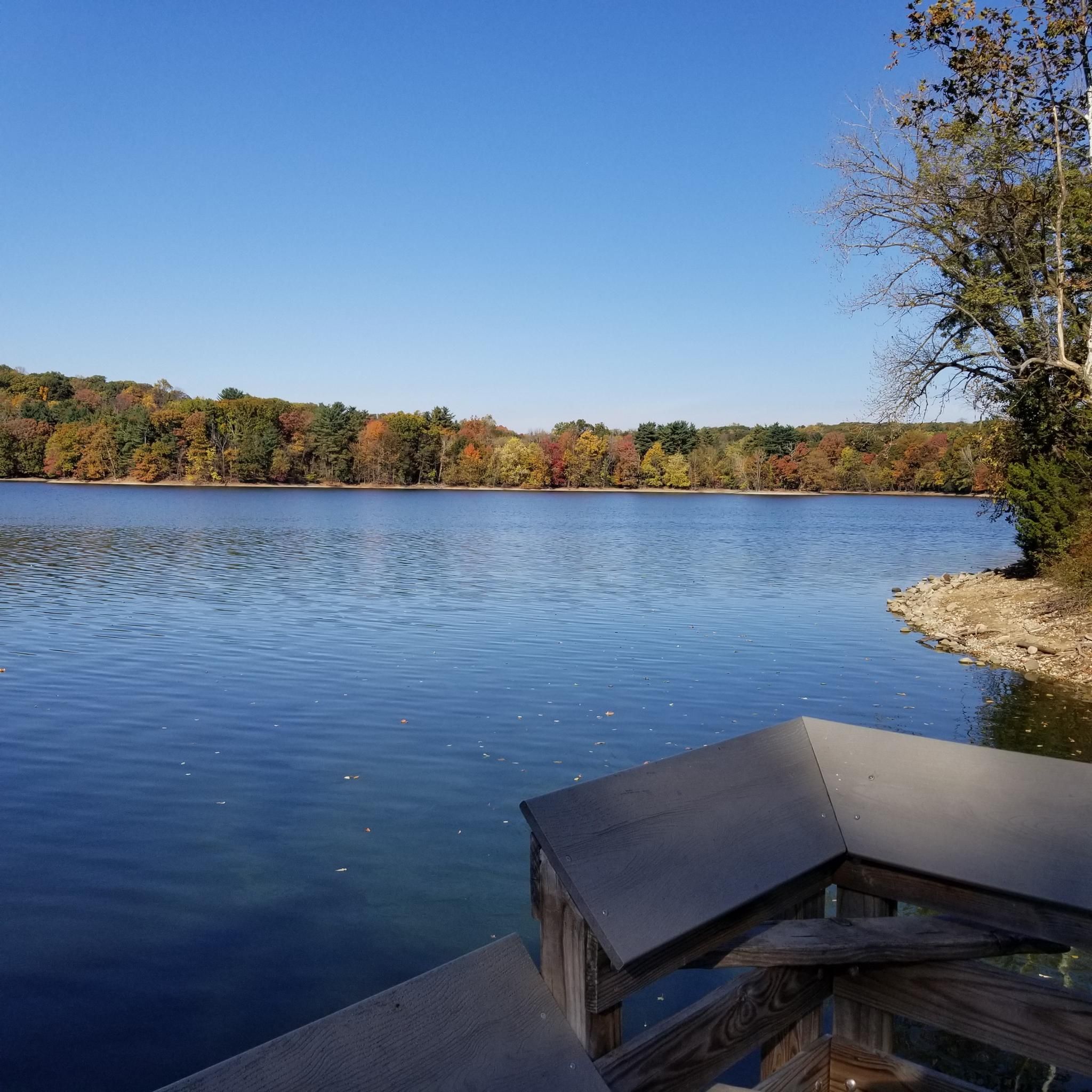
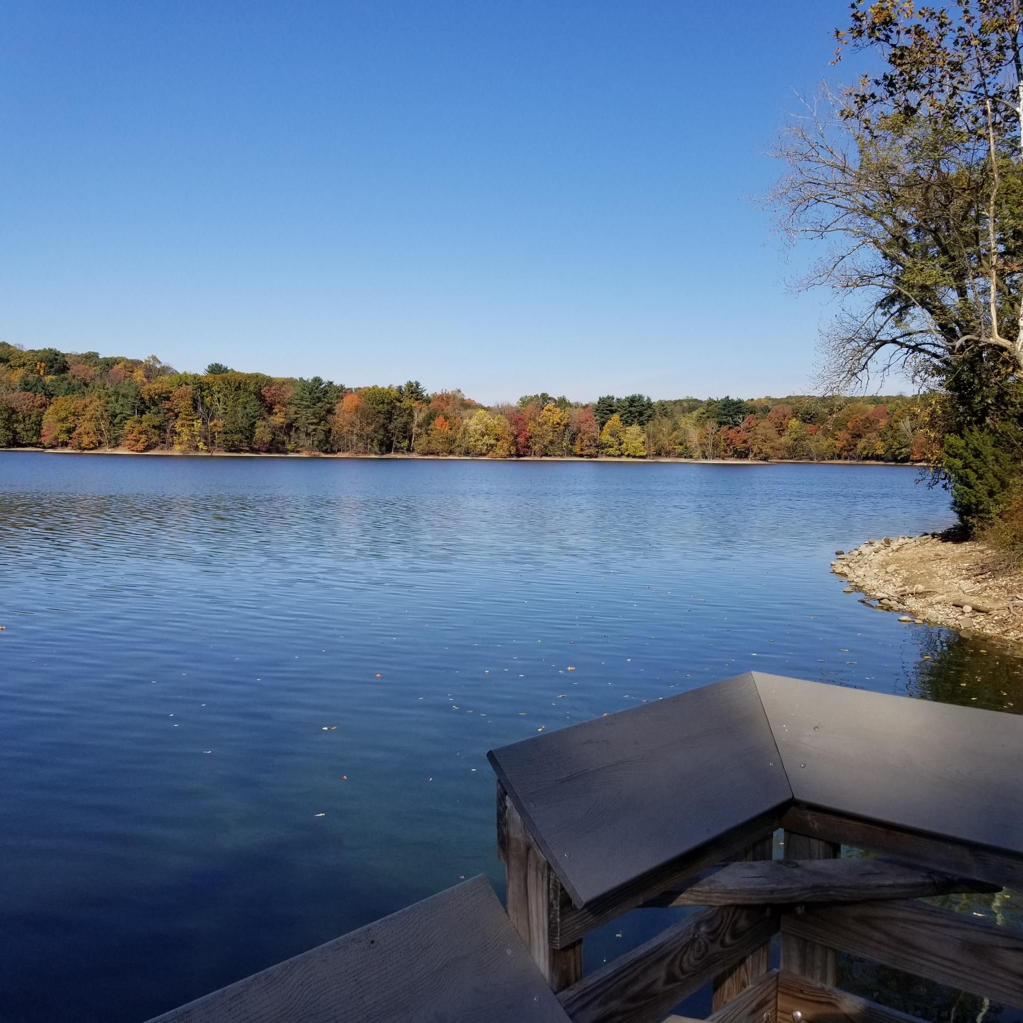
The Oradell Reservoir is an important source of clean drinking water to around 750,000 people. Built up over the early 1900s and completed in 1923, it’s now protected as a Category 1 water source, meaning it’s some of the purest in the state. It is a critical part of the region’s infrastructure and a reminder of how closely nature and community are connected.
0
0


You can enjoy almost five miles of biking along the river on this pretty, though sometimes narrow, trail. Watch out for other trail users, and please don't try this on skinny bike tires; there are parts where some riders might rather have a mountain bike, or at least a gravel bike.
0
0

This section of the New York State Bike Route is a popular stretch, especially around the Tappan Zee Bridge. It attracts many cyclists on weekends.
0
0
Frequently Asked Questions
How many gravel bike trails are available in Hillsdale?
Hillsdale County offers a selection of 7 gravel bike routes, catering to various skill levels. You'll find 3 easy routes, 3 moderate routes, and 1 more challenging option.
What kind of terrain can I expect on Hillsdale's gravel bike trails?
The gravel bike trails in Hillsdale feature a diverse landscape, including rolling farmlands, extensive unpaved county roads, and sections of the North Country Trail. You'll encounter a mix of dirt sections, rough pavement, and classic gravel roads, transitioning from open agricultural fields to forested areas.
Are there any easy gravel bike routes suitable for beginners in Hillsdale?
Yes, there are several easy options. One popular choice is the Piermont Railway Station (historic) – Old Erie Rail Trail (gravel) loop from Sparkill, which is 23.0 km long with a moderate elevation gain of 126 meters, making it a good introduction to gravel biking in the area.
What are some notable landmarks or attractions I might see along the gravel routes?
Many routes offer scenic views and pass by natural features. You might encounter lakes like Oradell Reservoir or Lake Tappan. Some trails also lead near points of interest such as the 9W Market or the picturesque Peanut Leap Cascade.
Are there any challenging gravel routes for experienced riders?
For experienced riders seeking a challenge, consider the New Croton Dam – Old Croton Aqueduct Trail loop from Blauvelt State Park. This difficult 61.5 km route features a significant elevation gain of 664 meters, providing a demanding ride through varied terrain.
What do other gravel bikers say about the trails in Hillsdale?
The gravel biking routes in Hillsdale are highly rated by the komoot community, with an average score of 4.0 stars from 3 reviews. Riders often praise the varied terrain and the opportunity to explore rural farmlands and natural areas like the Lost Nation State Game Area.
Are there any loop trails for gravel biking in Hillsdale?
Yes, many of the gravel routes in Hillsdale are designed as loops. For example, the 9W Market – Piermont Railway Station (historic) loop from Harrington Park is a popular 61.2 km loop that offers varied surfaces and takes about 3 hours 40 minutes to complete.
Can I find shorter gravel bike routes in Hillsdale?
Absolutely. If you're looking for a shorter ride, the 9W Market – Piermont Railway Station (historic) loop from Sneden's Landing is a moderate 19.7 km loop with 185 meters of elevation gain, typically completed in about 2 hours.
What is the best season for gravel biking in Hillsdale?
Hillsdale County's varied terrain, from rolling farmlands to forested areas, makes it enjoyable across multiple seasons. Spring and fall offer pleasant temperatures and vibrant scenery, while summer provides lush green landscapes. Always check local conditions, especially after rain, as unpaved roads can become muddy.
Are there opportunities to see wildlife along the gravel trails?
Yes, especially in areas like the Lost Nation State Game Area, which is a 2,500-acre natural setting. This area, traversed by a segment of the North Country Trail, is known to be home to wildlife such as wild turkeys and ruffed grouse, offering a chance to observe nature during your ride.
Are there any gravel routes that pass by lakes or water features?
Hillsdale County is dotted with over 388 lakes, and several routes offer scenic views of these water bodies. Baw Beese Lake, for instance, has a bike/hiking trail along its shores, and other routes may pass by lakes like Wild Duck Pond, providing picturesque stops.
What are the elevation profiles like on Hillsdale's gravel routes?
The elevation profiles vary significantly across Hillsdale's gravel routes, ranging from relatively flat sections to more challenging climbs. For example, an easy route like the Piermont Railway Station (historic) – Old Erie Rail Trail (gravel) loop from Sparkill has about 126 meters of ascent, while a difficult route such as the New Croton Dam – Old Croton Aqueduct Trail loop from Blauvelt State Park features over 664 meters of climbing.
Most popular attractions around Hillsdale

Get inspired with the komoot mobile app


Explore more
Browse the best Gravel rides in other regions.
