The best gravel rides around Rutland
4.5
(8)
61
riders
14
rides
Gravel biking around Rutland offers a diverse landscape characterized by rolling countryside, extensive trail networks, and waterways. The region features a mix of paved and gravel surfaces, providing varied terrain for cyclists. Riders can expect to encounter areas with loose gravel roads and some punchy slopes, alongside generally low-lying, flat sections. This topography creates a dynamic environment suitable for different gravel biking experiences.
Best gravel bike trails around Rutland
- The most popular gravel bike trail is Mass Central Rail Trail…
Last updated: October 20, 2026
4.5
(2)
15
riders
26.7km
01:43
160m
160m
Moderate gravel ride. Good fitness required. Mostly paved surfaces. Suitable for all skill levels.
9
riders
31.5km
02:25
290m
290m
Moderate gravel ride. Good fitness required. Mostly paved surfaces. Suitable for all skill levels.

5.0
(1)
10
riders
21.0km
01:24
120m
120m
Easy gravel ride. Great for any fitness level. Mostly paved surfaces. Suitable for all skill levels.
4.0
(1)
5
riders
33.4km
02:25
260m
260m
Moderate gravel ride. Good fitness required. Mostly paved surfaces. Suitable for all skill levels.
4.0
(1)
5
riders
32.5km
02:42
290m
290m
Moderate gravel ride. Good fitness required. Mostly paved surfaces. Suitable for all skill levels.
Get access to more routes and recommendations from other explorers.
Already have an account?
Our route recommendations are based on thousands of hikes, rides, and runs completed by other people on komoot.
Start today with a free account
Your next adventure awaits.
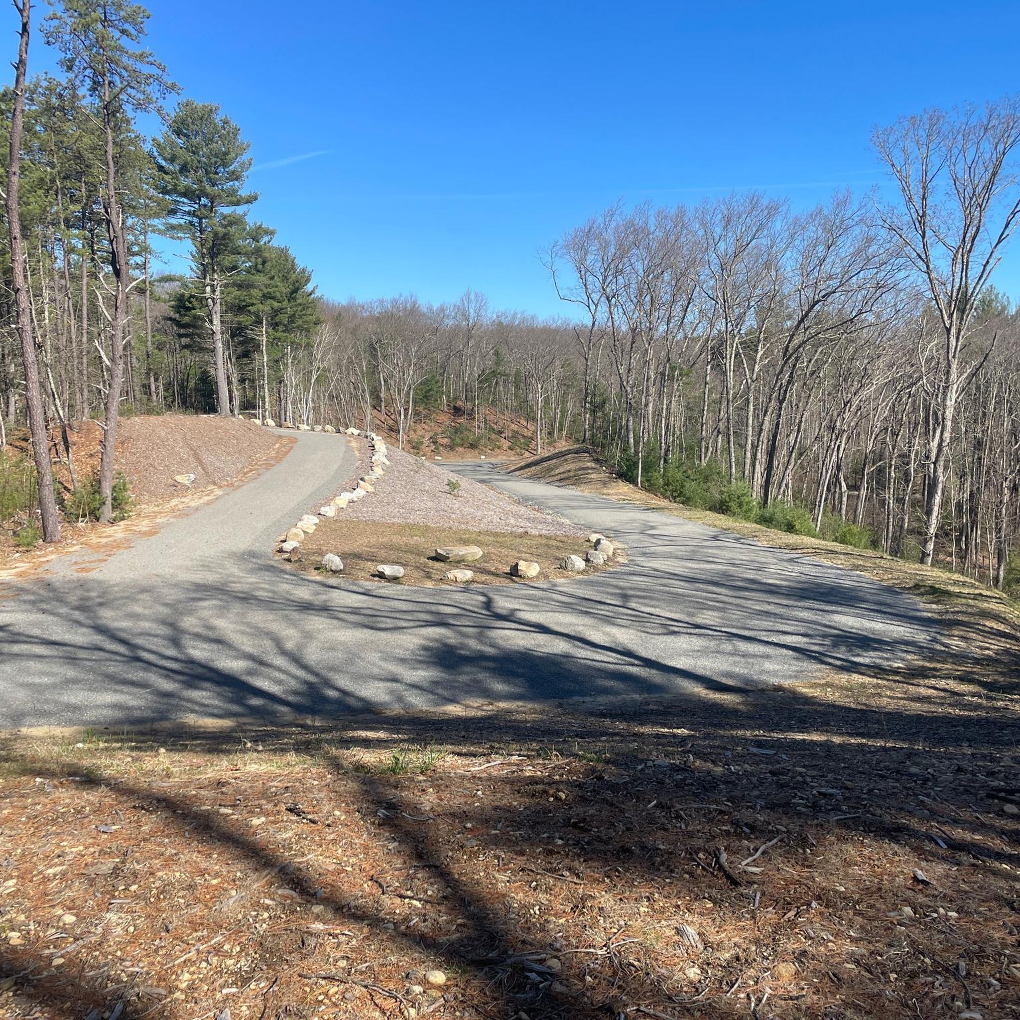
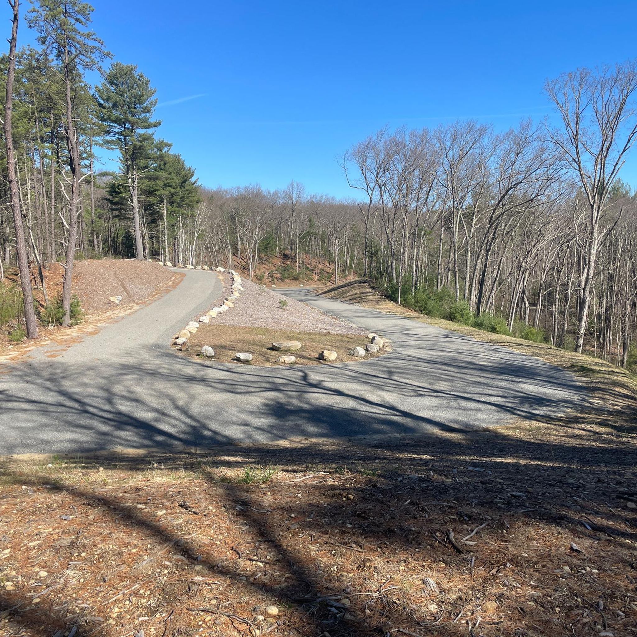



Tips from the Community


Thayer Pond WMA is a 131-acre outdoor playground with the Central Mass Rail Trail running through it. You can enjoy wildlife viewing, hunting, and fishing in this natural landscape. The eastern part of the preserve is home to Thayer Pond, while the western part has a mixed hardwood forest with gray foxes and squirrels. Mill Brook flows through it, where you can spot several beaver impoundments along its banks.
0
0

The Barre Falls Dam is not just a dam. You will find many recreational opportunities within the wetlands and forests such as hiking, mountain biking, fishing and canoeing. There are even picnic shelters you can rent. If you like to hike take the 5-mile loop near Hubbardston.
0
0

Thayer Pond is a pretty big body of water for a pond, and it's just off the side of the Mass Central Rail Trail. You get good views of the water through the trees, and there are a couple of clearings with open views of the pond.
0
0
The Ware River Diversion Dam helps control the flow of water from the Quabbin Aqueduct into the Ware River. This is a really cool looking structure that you can see from the side of the trail.
0
0
Thayer Pond is a pretty big body of water for a pond, and it's just off the side of the Mass Central Rail Trail. You get good views of the water through the trees, and there are a couple of clearings with open views of the pond.
0
0

The Mass Central Rail Trail is a 59-mile paved trail that is planned to extend to 104 miles from Boston to Northampton.
0
0
The Ware River is a 35.4-mile river with two forks; the West Fork that starts in Hubbardston and the East Branch that starts in Westminster.
0
0
Frequently Asked Questions
How many gravel bike trails are there in Rutland?
Rutland offers a selection of gravel bike trails, with 7 routes detailed in this guide. These routes cater to various skill levels, from easy to more challenging options.
Are there easy or beginner-friendly gravel bike trails in Rutland?
Yes, there are options suitable for beginners. For an easier ride, consider the Mass Central Rail Trail – Thayer Pond WMA loop from Massachusetts, which is rated as easy. The region's diverse landscape also includes generally low-lying, flat sections perfect for those new to gravel biking.
What kind of terrain can I expect on Rutland's gravel bike trails?
Rutland's gravel bike trails feature a diverse landscape of rolling countryside, extensive trail networks, and waterways. You'll encounter a mix of paved and gravel surfaces, including loose gravel roads, old drovers' tracks, forest trails, and disused railway lines. While generally low-lying, some routes also include surprisingly punchy slopes, offering varied terrain for all riders.
Are there any family-friendly gravel biking options around Rutland?
While specific family-friendly routes aren't explicitly detailed in the guide, the presence of easier trails and the generally low-lying terrain in parts of Rutland make it suitable for families. The Mass Central Rail Trail, for instance, often provides a smoother, more accessible experience.
Can I bring my dog on the gravel bike trails in Rutland?
Many outdoor areas in Rutland, such as Rutland State Park and sections of the Mass Central Rail Trail, are generally dog-friendly, especially if your dog is well-behaved and kept on a leash. However, it's always best to check specific park regulations or trail signage for any restrictions before you go.
What are some scenic highlights or attractions I can see along the gravel bike trails?
Rutland's gravel trails offer access to several scenic spots. You can explore the Mass Central Rail Trail, pass by Thayer Pond, or ride through Rutland State Park. The region is known for its traditional rural British landscape, with fields, hedgerows, and woodlands alive with birdsong.
Are there any routes that feature waterfalls?
Yes, you can find a waterfall along some of the routes. The Stone Pump House and Waterfall in the Ware River Watershed is a notable attraction that can be incorporated into your gravel biking adventure.
Where can I find parking for gravel biking in Rutland?
Many trailheads and parks in Rutland offer designated parking. For example, routes like the Rutland State Park – Rutland State Park loop often start directly from park parking areas. Always check the specific route details on komoot for recommended starting points and parking information.
Are there any circular gravel bike routes available?
Yes, many of the gravel bike routes in Rutland are designed as loops, allowing you to start and finish at the same point. Examples include the Mass Central Rail Trail – Thayer Pond WMA loop from Conservation Land and the Rutland State Park – Rutland State Park loop.
What is the best time of year to go gravel biking in Rutland?
The best time for gravel biking in Rutland is generally during the spring, summer, and autumn months when the weather is milder and trails are dry. While winter conditions can offer a unique experience, some trails may be affected by snow or ice. Always check local weather conditions before heading out.
Are there gravel bike routes that include pub stops or places to eat?
Rutland's charm is enhanced by its traditional rural villages and inviting pubs. While specific routes aren't explicitly designed with pub stops, many trails pass near or through villages where you can find local establishments to refuel and relax. Planning your route with komoot allows you to identify nearby points of interest for food and drink.
What do other gravel bikers enjoy most about gravel biking in Rutland?
The area is highly rated by the komoot community, with an average score of 4.3 stars. Reviewers often praise the diverse landscape, the mix of challenging and easy terrain, and the opportunity to explore extensive trail networks and scenic waterways. The 'rugged beauty' and varied topography are frequently highlighted as key attractions.
How long are the typical gravel bike trails in Rutland?
The gravel bike trails in Rutland vary in length. For instance, routes in this guide range from approximately 16.6 miles (26.7 km) for the Mass Central Rail Trail – Thayer Pond WMA loop from Conservation Land to longer options like the Mass Central Rail Trail – Thayer Pond WMA loop from Rutland, which covers 23.4 miles (37.6 km).
Most popular attractions around Rutland

Get inspired with the komoot mobile app


Explore more
Browse the best Gravel rides in other regions.
