The best gravel rides around Lafayette
4.8
(104)
1,119
riders
113
rides
Gravel biking around Lafayette offers access to a diverse landscape, characterized by an extensive trail network, numerous parks, and natural features. The region includes a mix of paved and unpaved routes, with some sections featuring bayous, swamps, and forests. Gravel bike trails around Lafayette often utilize levee paths along the Wabash River and restored prairie areas, providing varied surfaces for cycling. This terrain supports a range of outdoor activities, from tranquil rides through nature areas to more challenging routes.
Best gravel bike trails around Lafayette
- The most popular gravel bike trail is Boulder Creek Path and Flagstaff Mountain Loop, a 32.9 miles (52.9 km) trail that takes 3 hours 49 minutes to complete. This difficult route features significant elevation gain.
- Another top favourite among local gravel bikers is Sterns Lake – Warembourg Open Space loop from Lafayette, a moderate 18.1 miles (29.2 km) path. This route offers a loop through open spaces and around Sterns Lake.
- Local gravel bikers also love the Adler-Fingru Open Space – View of Longs Peak loop from Louisville, a 19.0 miles (30.5 km) trail leading through open space, often completed in about 1 hour 56 minutes.
- Gravel biking around Lafayette is defined by levee paths, open spaces, and forested areas. The network offers options for various ability levels, from moderate loops to more challenging routes with elevation.
- The routes in Lafayette are highly rated by the komoot community with an average score of 4.7 stars from more than 30 reviews. More than 400 gravel bikers have used komoot to explore Lafayette's varied terrain.
Last updated: August 17, 2026
10
riders
52.9km
03:49
660m
660m
Hard gravel ride. Very good fitness required. Mostly paved surfaces. Suitable for all skill levels.
17
riders
28.7km
01:43
210m
210m
Moderate gravel ride. Good fitness required. Mostly paved surfaces. Suitable for all skill levels.

Sign up for free
4.5
(4)
42
riders
40.4km
02:14
270m
270m
Moderate gravel ride. Good fitness required. Mostly paved surfaces. Suitable for all skill levels.
5.0
(1)
23
riders
37.7km
02:02
230m
230m
Moderate gravel ride. Good fitness required. Mostly paved surfaces. Suitable for all skill levels.
9
riders
12.1km
00:40
90m
90m
Easy gravel ride. Great for any fitness level. Mostly paved surfaces. Suitable for all skill levels.
Get access to more routes and recommendations from other explorers.
Sign up for free
Already have an account?
Our route recommendations are based on thousands of hikes, rides, and runs completed by other people on komoot.
Start today with a free account
Your next adventure awaits.
Login or Signup
Tips from the Community

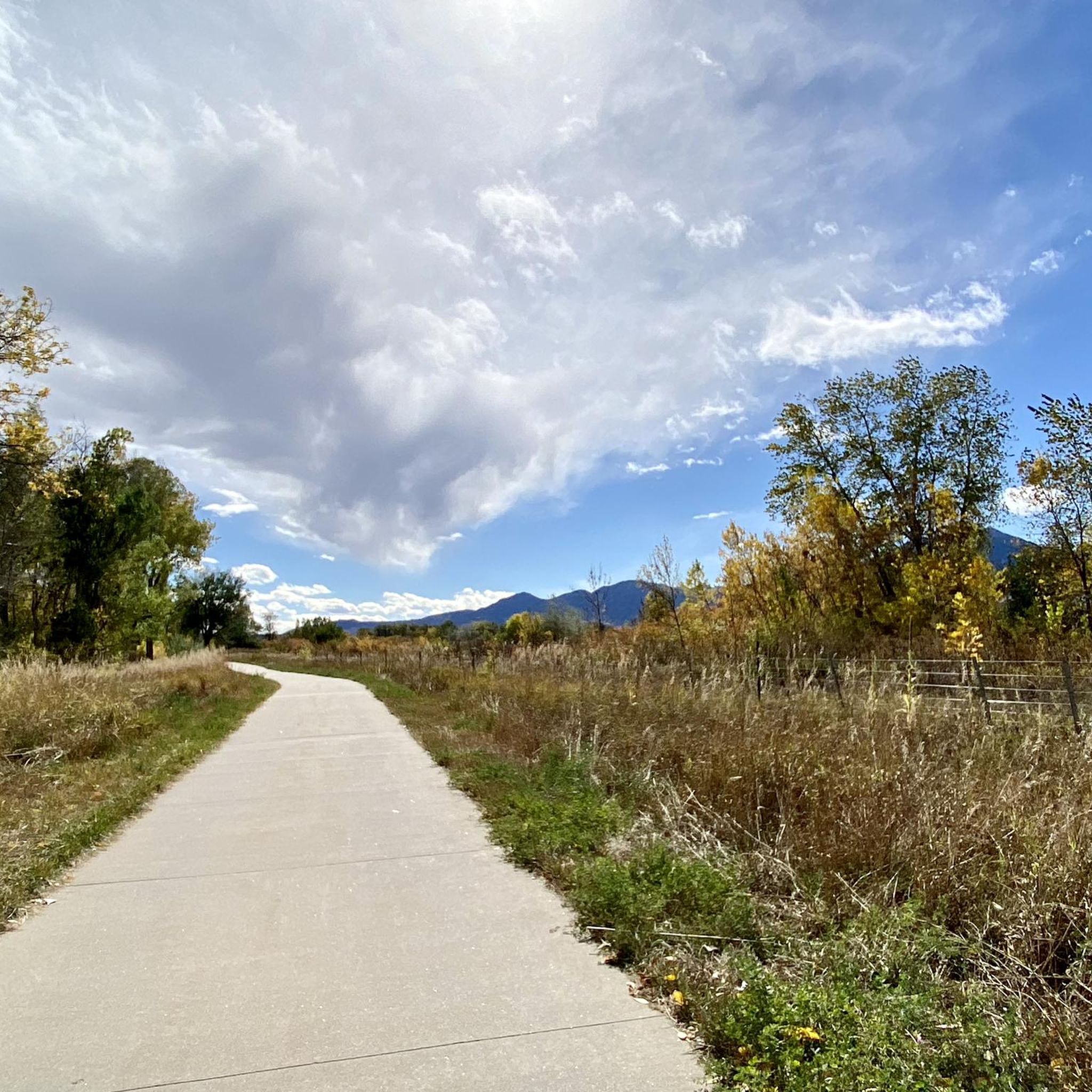
Warembourg Open Space is a peaceful spot along Coal Creek and the Coal Creek Regional Trail, shaped through conservation efforts by Boulder County, Louisville, and Lafayette. Established in 1999 and 2003, it offers hikers a lovely riparian habitat with cottonwoods, wildlife, and scenic creekside views—a perfect place for an easy, immersive walk close to nature.
0
0

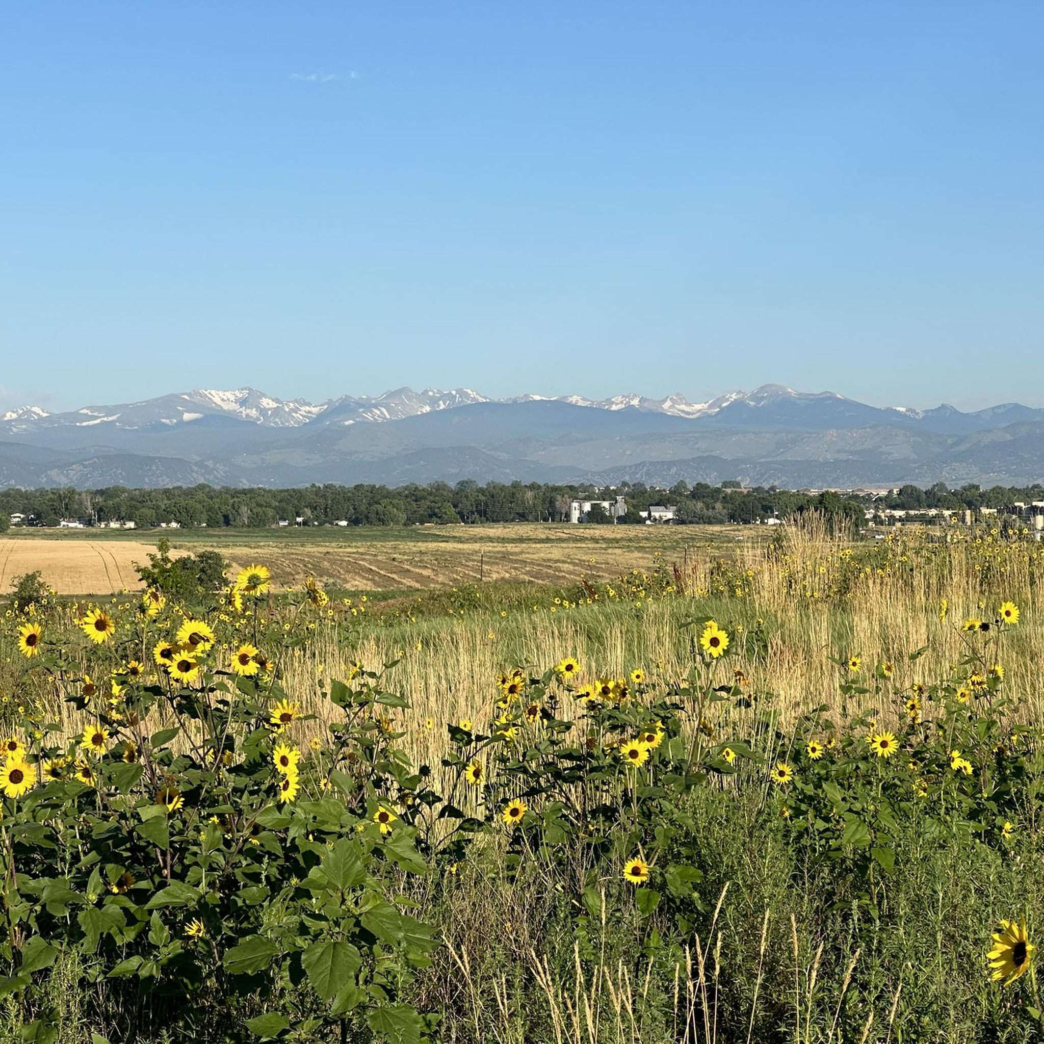
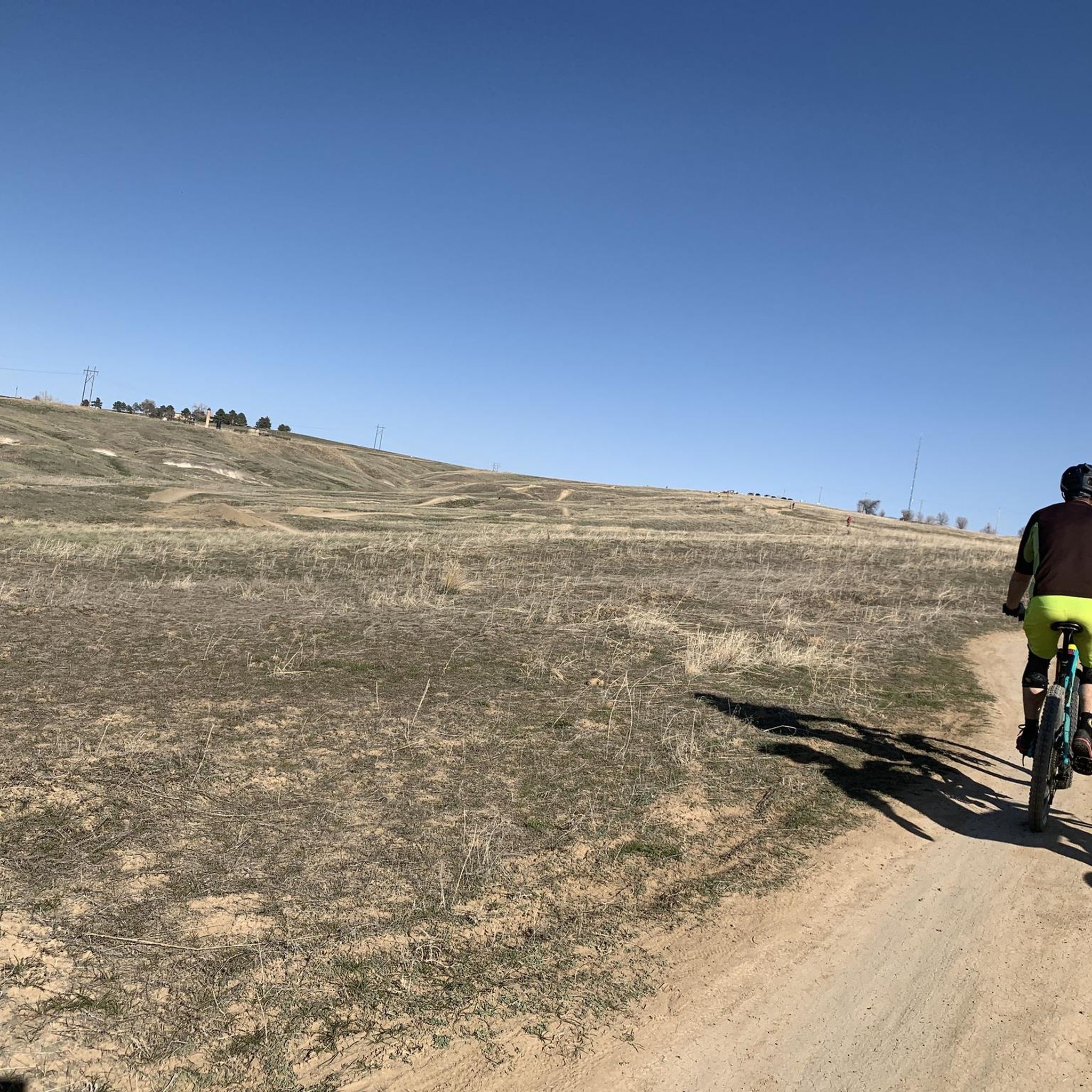
This packed dirt multi-use path runs over the rolling hills of the Ruth Roberts Preserve, linking the Lake Link and Rock Creek Trails. From here, you get panoramic views of Colorado's Front Range.
0
0
This packed dirt multi-use trail runs for nearly nine miles, from Lac Amora Open Space to McKay Lake. It links many small lakes, ponds, and streams in Broomfield, and is a great connector for other trails.
0
0

Mayhoffer Trail stretches 2.7 miles over gravel and dirt and connects users to other regional trails with awesome views of the surrounding plains and foothills.
1
0


This trail has a soft surface, so it may be a challenge for super-skinny tires. It's otherwise a very pleasant ride, though. If you don't like biking past horses, this is a good choice, as equestrian users aren't allowed on most of this trail's 14-mile length.
0
0
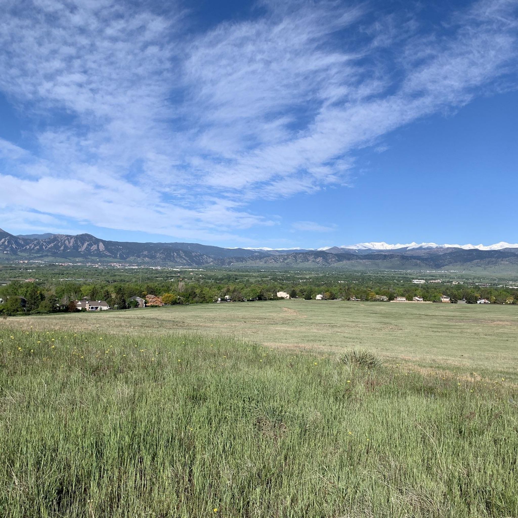
If the weather is clear enough, when you look west-northwest from here you can see Long's Peak against the horizon.
0
0

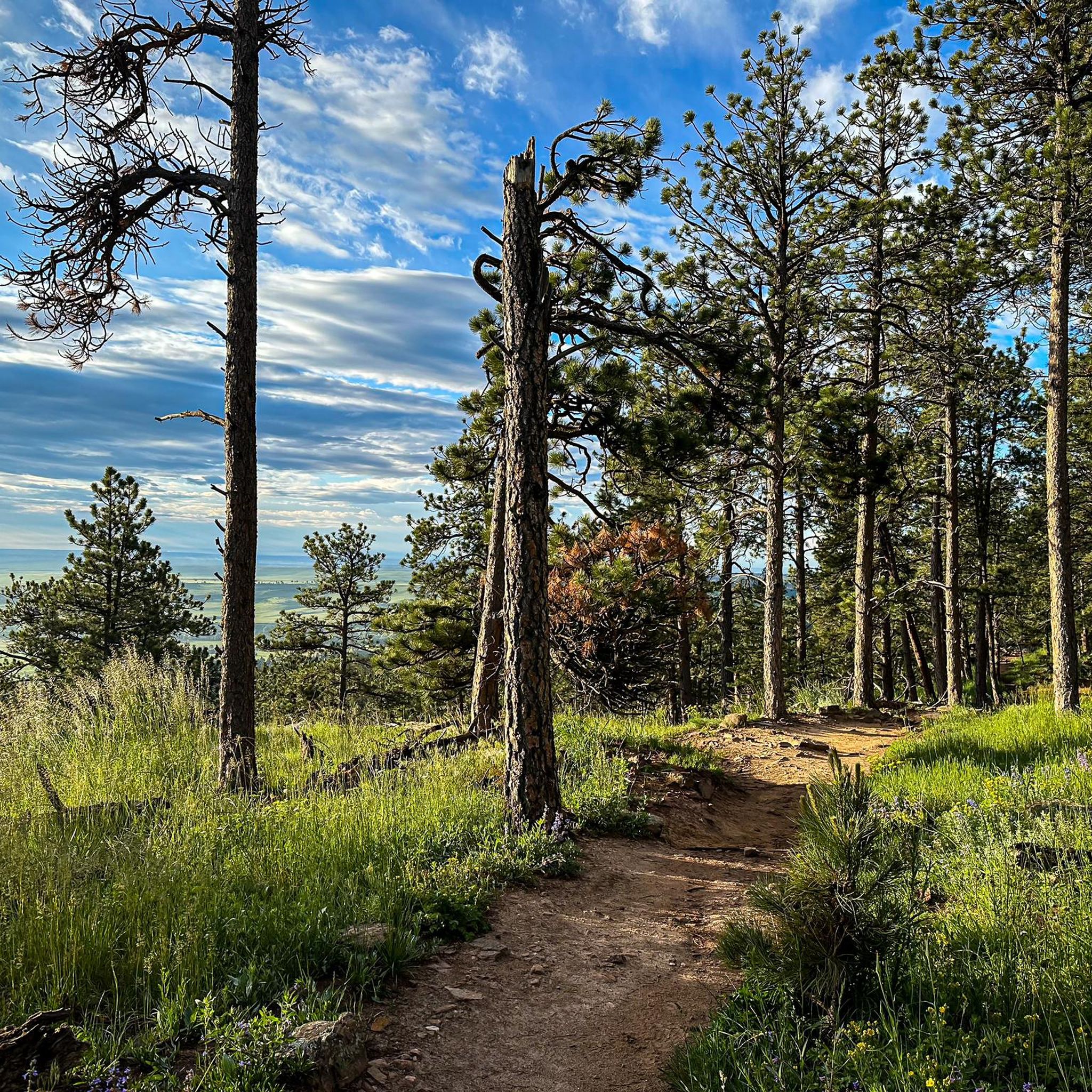
Awesome views. The gravel trails drain very well after a rain or snowfall. You don't need to worry about mud.
0
0
Frequently Asked Questions
How many gravel bike trails are available around Lafayette?
There are over 30 gravel bike routes around Lafayette, offering a diverse range of experiences. These include 12 easy routes, 18 moderate options, and 3 challenging trails for experienced riders.
What kind of terrain can I expect on gravel bike trails in Lafayette?
Gravel biking around Lafayette features the unique landscape of the Gulf Coastal Plain, with a mix of bayous, swamps, and forested areas. A significant feature is the extensive gravel path along the levee of the Atchafalaya River, offering long-distance riding alongside one of the largest river swamps in the United States.
Are there any challenging gravel bike routes in the Lafayette area?
Yes, for experienced riders seeking a challenge, routes like the Boulder Creek Path and Flagstaff Mountain Loop offer significant elevation gain over 32.9 miles. Another difficult option is the Centennial Trail – Boulder Creek Trail loop from Baseline Rd & N 95th St, which covers nearly 43 miles with over 3,700 feet of climbing.
What do other gravel bikers enjoy most about gravel biking in Lafayette?
The gravel biking routes in Lafayette are highly rated by the komoot community, with an average score of 4.7 stars from more than 30 reviews. Riders often praise the varied terrain, from open spaces to scenic lake loops, and the opportunities to explore the unique natural environment.
Are there any family-friendly gravel bike trails in Lafayette?
While specific family-friendly routes are not highlighted, many of the moderate trails, especially those through open spaces, can be suitable for families depending on their experience level. The region's levee paths also offer relatively flat, long-distance riding that can be adapted for family outings.
Can I find circular gravel bike routes around Lafayette?
Yes, many of the popular gravel routes in the area are loops. For example, the Sterns Lake – Warembourg Open Space loop from Lafayette is a moderate 18.1-mile path, and the View of Longs Peak – Adler-Fingru Open Space loop from 119th St & Austin Ave is a 25.4-mile loop through open space.
What natural features or landmarks can I see along the gravel bike trails?
While riding, you might encounter various natural features characteristic of the Gulf Coastal Plain, including bayous, swamps, and forests. Specific highlights near some routes include Carolyn Holmberg Preserve at Rock Creek Farm, Boulder Reservoir, and Twin Lakes. You can also find scenic viewpoints like the Davidson Mesa Overlook.
Are there opportunities for wildlife spotting on Lafayette's gravel trails?
The region's bayous, swamps, and preserves, such as Lake Martin and the Cypress Island Preserve, are rich in biodiversity. While riding, especially along the Atchafalaya River levee or through forested areas, you might spot various coastal birds like snowy egrets and great blue herons, and potentially alligators in wetland areas.
What is the best time of year for gravel biking in Lafayette?
Lafayette has a humid subtropical climate. Spring and fall generally offer the most pleasant temperatures for gravel biking. Summers can be very hot and humid, while winters are mild. Always check local weather conditions before heading out.
Are there any trails that offer views of significant natural landmarks?
Yes, the View of Longs Peak – Adler-Fingru Open Space loop from 119th St & Austin Ave offers scenic vistas, and the Davidson Mesa Overlook is a notable viewpoint you might encounter near some routes.
Where can I find parking for gravel biking trails in Lafayette?
Access points for the Atchafalaya River levee path are available near the rest area at the Atchafalaya river park off Interstate 10, or near Pat's Restaurant in Henderson. For other routes, specific parking information is usually available on the individual route pages on komoot.
Most popular routes around Lafayette
Most popular attractions around Lafayette

Get inspired with the komoot mobile app


Explore more
Browse the best Gravel rides in other regions.
