The best gravel rides around Broomfield
4.7
(62)
427
riders
85
rides
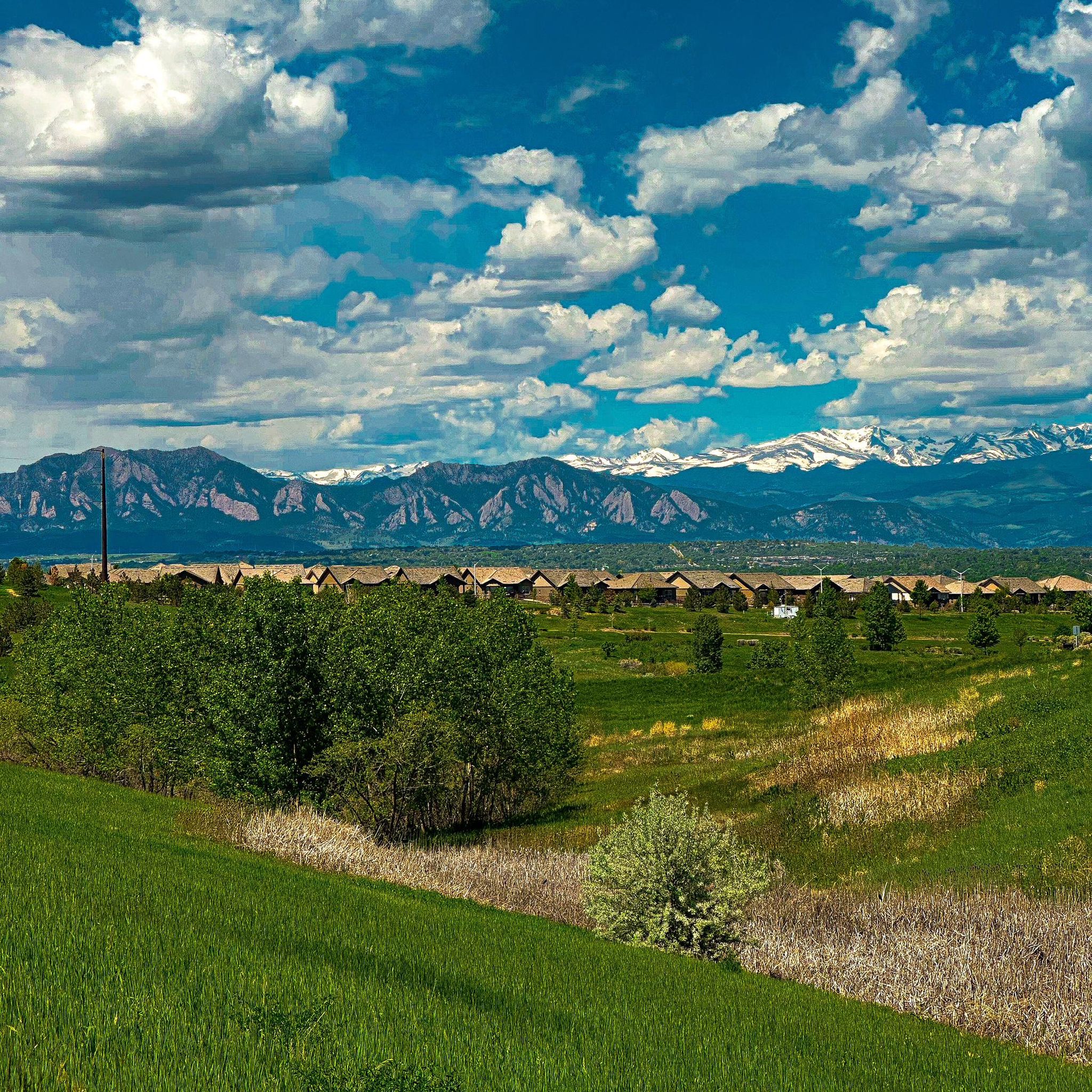
Gravel biking around Broomfield offers a diverse landscape for riders, situated between Denver and Boulder. The region features an extensive network of trails that traverse open spaces, prairie ecosystems, and areas with views of the Rocky Mountains. Riders encounter a mix of flat sections, moderate climbs, and varied terrain, including both gravel paths and some paved surfaces. This environment provides a blend of natural features, from expansive plains to distant mountain backdrops like the Flatirons and Longs Peak.
Best gravel…
Last updated: July 12, 2026
4.5
(17)
39
riders
60.4km
03:24
370m
370m
Hard gravel ride. Good fitness required. You may need to push your bike for some segments of this route.
5.0
(2)
38
riders
46.4km
02:25
250m
250m
Moderate gravel ride. Good fitness required. Mostly paved surfaces. Suitable for all skill levels.

Sign up for free
5.0
(1)
15
riders
Moderate gravel ride. Good fitness required. Mostly paved surfaces. Suitable for all skill levels.
4.6
(5)
44
riders
Moderate gravel ride. Good fitness required. Mostly paved surfaces. Suitable for all skill levels.
5.0
(1)
16
riders
24.6km
01:30
250m
250m
Moderate gravel ride. Good fitness required. Mostly paved surfaces. Suitable for all skill levels.
Get access to more routes and recommendations from other explorers.
Sign up for free
Already have an account?
Our route recommendations are based on thousands of hikes, rides, and runs completed by other people on komoot.
Start today with a free account
Your next adventure awaits.
Login or Signup
Tips from the Community

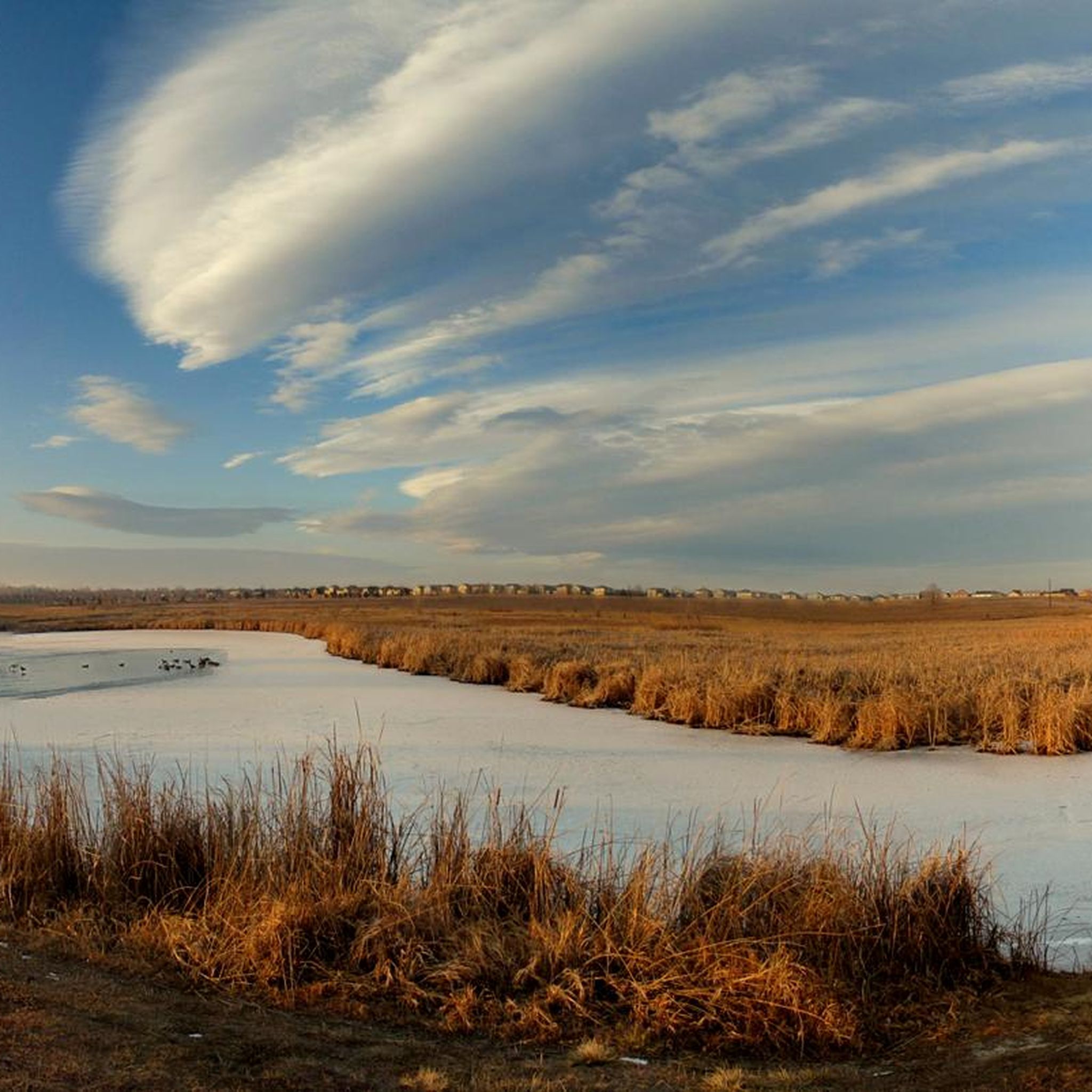
Warembourg Open Space is a peaceful spot along Coal Creek and the Coal Creek Regional Trail, shaped through conservation efforts by Boulder County, Louisville, and Lafayette. Established in 1999 and 2003, it offers hikers a lovely riparian habitat with cottonwoods, wildlife, and scenic creekside views—a perfect place for an easy, immersive walk close to nature.
0
0

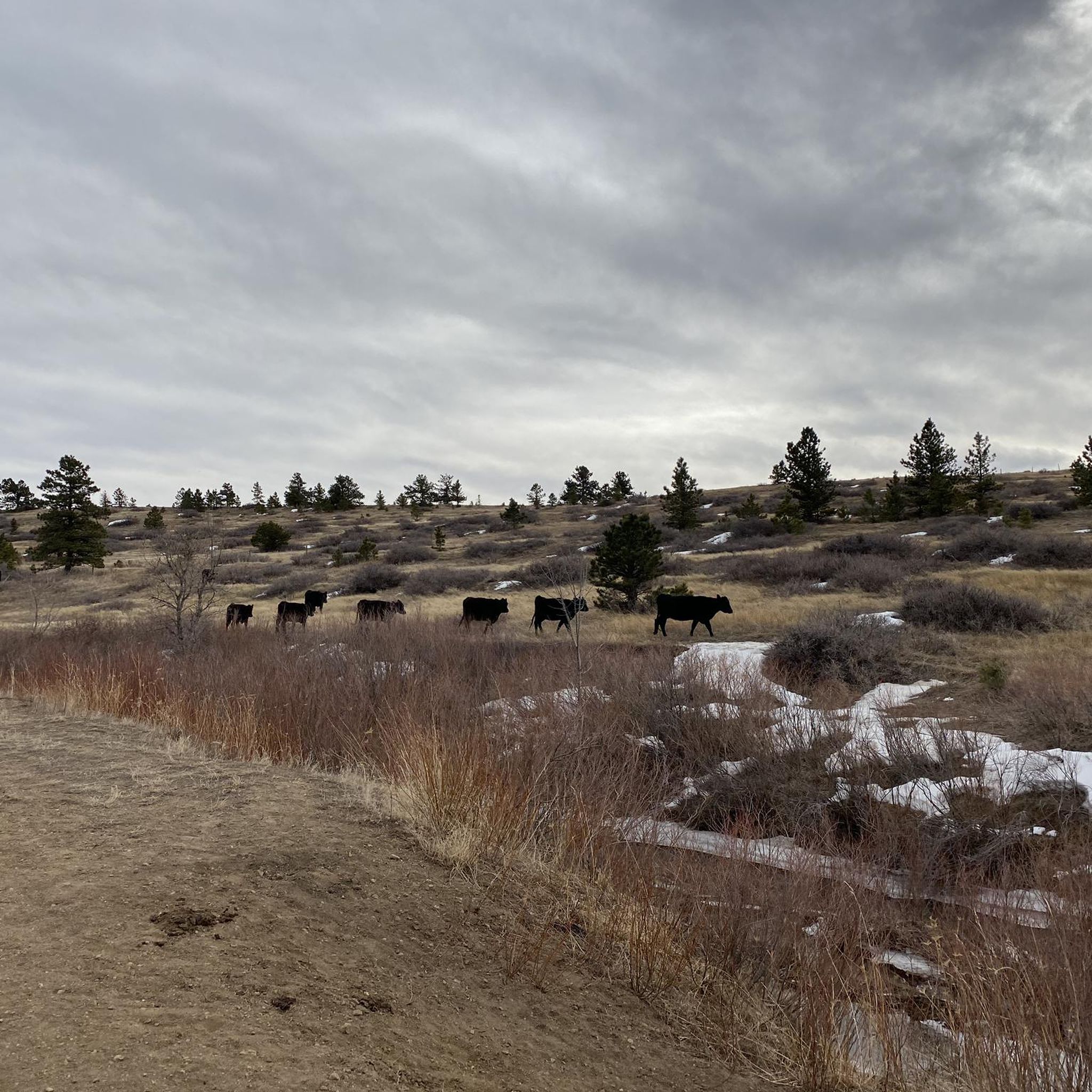
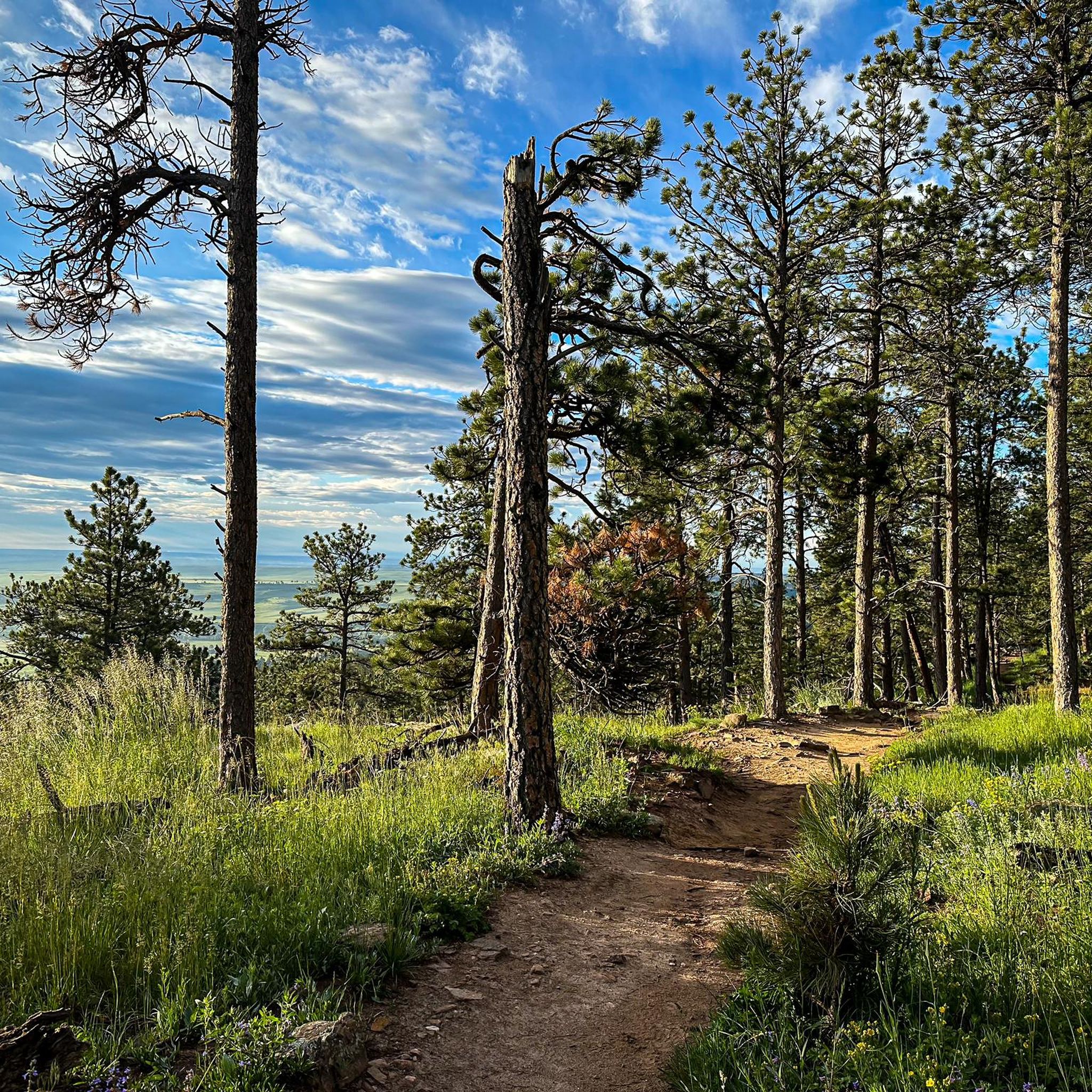
This is a nice packed dirt and gravel connector trail, with views of the range from South Bolder Peak to Green Mountain and the Flatirons. Best to avoid this track if there has been recent rain or snow.
0
0
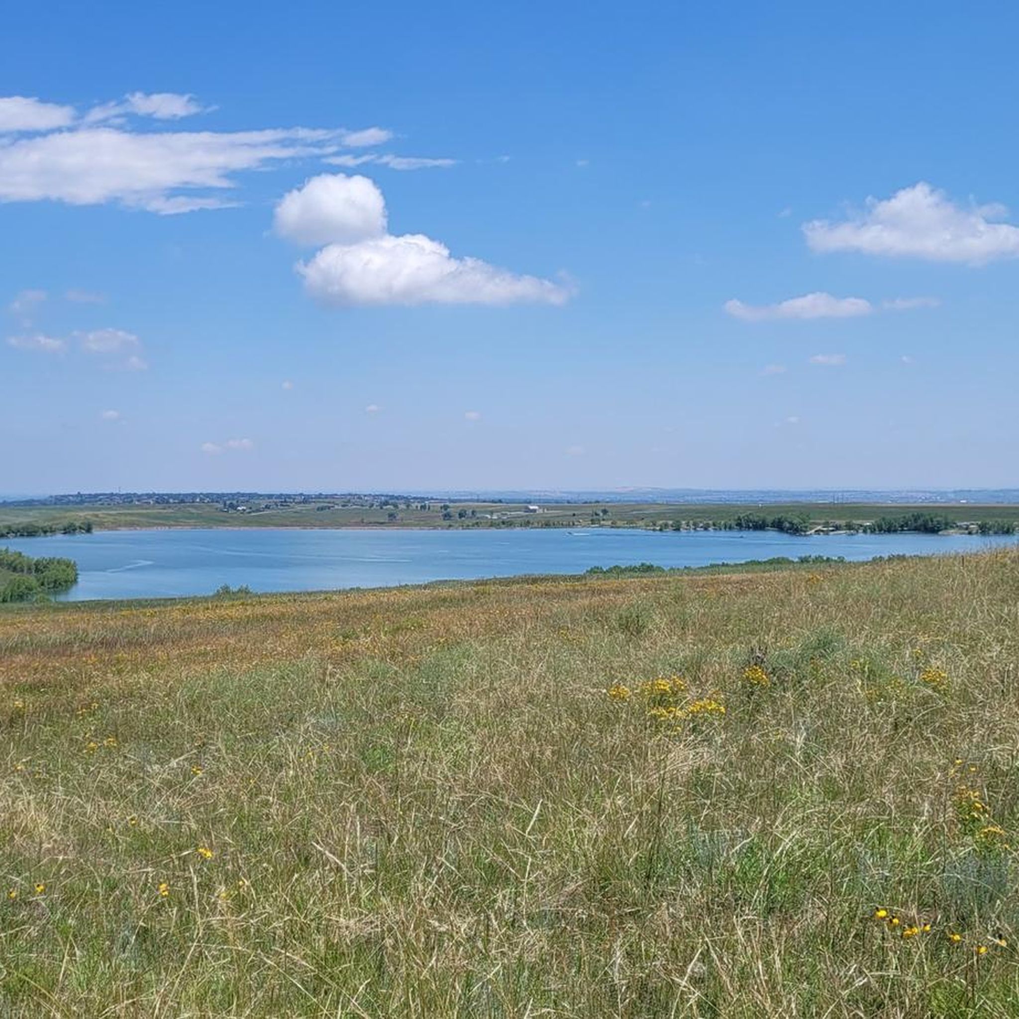
This packed dirt multi-use path runs over the rolling hills of the Ruth Roberts Preserve, linking the Lake Link and Rock Creek Trails. From here, you get panoramic views of Colorado's Front Range.
0
0
This packed dirt multi-use trail runs for nearly nine miles, from Lac Amora Open Space to McKay Lake. It links many small lakes, ponds, and streams in Broomfield, and is a great connector for other trails.
0
0

The Coal Creek Trail is a long double track trail that runs between the towns Superior, Louisville, Lafayette and Erie. It's an easy, beginner ride perfect for those interested in riding off road.
0
0

After losing their nest to a lightning strike in August, it was unclear which location the eagles would choose for their to new nest. With limited suitable nesting trees in the area—including one along the trail near their previous nest—they have now settled in a tree here, near the southern end of S. 104th St.
0
0

Mayhoffer Trail stretches 2.7 miles over gravel and dirt and connects users to other regional trails with awesome views of the surrounding plains and foothills.
1
0
The Marry Miller Trail spans about 1.5 miles and features gravel surfaces. It is open to hikers, bikers, and equestrians; dogs visiting must be kept on a leash.
0
0
Frequently Asked Questions
How many gravel bike trails are available in Broomfield?
Broomfield offers a diverse network of over 20 gravel bike trails, catering to various skill levels. You'll find a mix of easy, moderate, and challenging routes across the region.
Are there gravel bike trails suitable for beginners in Broomfield?
Yes, Broomfield has several gravel bike trails suitable for beginners. There are at least 6 easy routes that feature mostly flat terrain and gentle inclines, perfect for those new to gravel biking or looking for a relaxed ride.
What kind of terrain can I expect on Broomfield's gravel bike trails?
Broomfield's gravel bike trails offer varied terrain, from flat sections through open spaces and prairie ecosystems to moderate climbs and exhilarating downhills. You'll encounter a mix of gravel paths and some paved surfaces, often with sweeping views of the Flatirons and distant peaks like Longs Peak.
What scenic views or landmarks can I expect to see while gravel biking in Broomfield?
Many routes offer incredible views of the Flatirons, the foothills, and distant peaks like Longs Peak. You might also pass by significant natural features such as Davidson Mesa Overlook, Standley Lake, or the tranquil Carolyn Holmberg Preserve at Rock Creek Farm, which provides stunning views of the Front Range.
Are there any family-friendly gravel bike trails in Broomfield?
While specific family-friendly routes are not detailed, many of Broomfield's extensive trail systems, particularly those through open spaces and parks like the Big Dry Creek Trail, offer mostly flat terrain suitable for families. Look for routes categorized as 'easy' for the most family-friendly options.
Can I bring my dog on the gravel bike trails in Broomfield?
Broomfield is known for its dog-friendly open spaces and parks, including dedicated dog parks. While many trails are multi-use, it's always best to check specific trail regulations for leash requirements and whether dogs are permitted on bike trails to ensure a pleasant experience for everyone.
What is the best time of year for gravel biking in Broomfield?
The best time for gravel biking in Broomfield is generally during the spring, summer, and fall months when the weather is mild and trails are clear. While winter riding is possible, be prepared for colder temperatures and potential snow or ice, especially on shaded sections.
Are there any gravel biking loops that offer views of Longs Peak?
Yes, a popular option is the View of Longs Peak – Aquarius Open Space loop from Wetland Preserve. This 36.6-mile route provides expansive views of Longs Peak and traverses scenic open space.
Where can I find a challenging gravel ride with significant elevation gain?
For a more challenging ride, consider the Davidson Mesa Overlook – Aquarius Open Space loop from Interlocken. This difficult 34.1-mile route features nearly 1,564 feet of elevation gain, offering a good fitness challenge.
What do other gravel bikers enjoy most about gravel biking in Broomfield?
The gravel biking routes in Broomfield are highly rated by the komoot community, with an average score of 4.7 stars from over 70 reviews. Reviewers often praise the diverse terrain, the extensive network of trails, and the stunning panoramic views of the Flatirons and distant mountains.
Are there any gravel routes that incorporate the Coal Creek Trail?
Yes, the Coal Creek Trail – View of Longs Peak loop from The Field Open Space is a moderate 28.9-mile path that incorporates sections of the Coal Creek Trail, known for its varied terrain and views of the Flatirons.
Are there any permits required for cycling in Broomfield's open spaces?
Generally, no special permits are required for recreational cycling on designated trails within Broomfield's open spaces. However, it's always a good practice to check local regulations for specific areas or events, especially for larger groups or organized rides.
Are there any coffee shops or pubs conveniently located near Broomfield's gravel bike trails?
Broomfield's trail network often passes through or near developed areas. While specific establishments aren't listed for each trail, the city's strategic location and numerous parks mean you're usually not far from amenities like coffee shops or pubs, especially in areas connecting to neighborhoods or commercial centers.
Most popular routes around Broomfield
Most popular attractions around Broomfield

Get inspired with the komoot mobile app


Explore more
Browse the best Gravel rides in other regions.
