The best gravel rides around Hidden Meadows
54
riders
4
rides
Gravel biking around Hidden Meadows offers a diverse landscape characterized by rural roads, unpaved sections, and rolling terrain. The region features a mix of gravel and rocky surfaces, often traversing rural canyons and areas with horse farms. Cyclists can expect varied conditions, including sweeping roads and potentially sandy segments, with some routes incorporating challenging climbs.
Best gravel bike trails around Hidden Meadows
- The most popular gravel bike trail is Hodges Dam – Lake Hodges loop from Palomar College, a…
Last updated: October 15, 2026
48
riders
98.7km
06:52
1,270m
1,270m
Hard gravel ride. Very good fitness required. Mostly paved surfaces. Suitable for all skill levels.
2
riders
24.9km
02:13
620m
620m
Hard gravel ride. Very good fitness required. Mostly paved surfaces. Suitable for all skill levels.

2
riders
79.5km
05:34
1,060m
1,060m
Hard gravel ride. Very good fitness required. Mostly paved surfaces. Suitable for all skill levels.
2
riders
34.8km
02:34
530m
530m
Hard gravel ride. Very good fitness required. Mostly paved surfaces. Suitable for all skill levels.
Our route recommendations are based on thousands of hikes, rides, and runs completed by other people on komoot.
Start today with a free account
Your next adventure awaits.
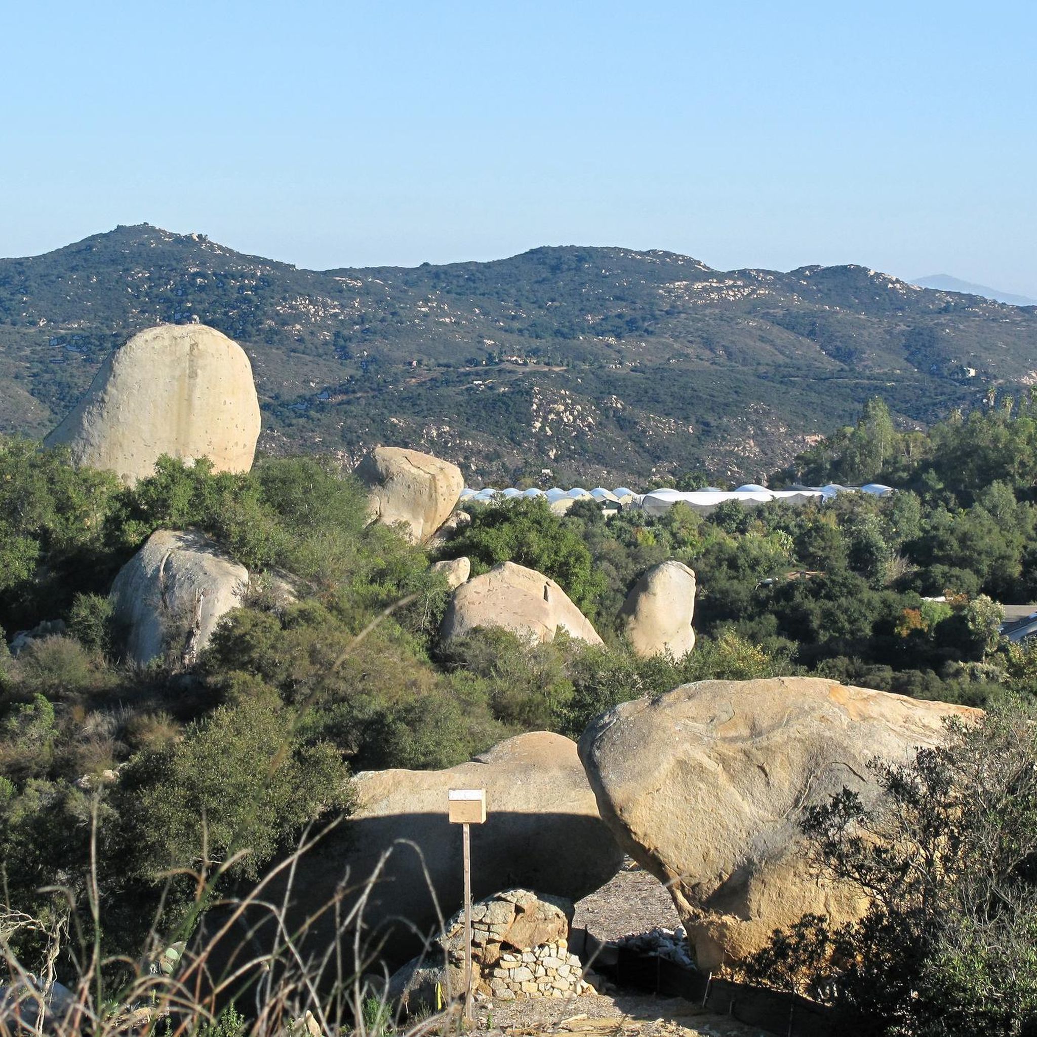
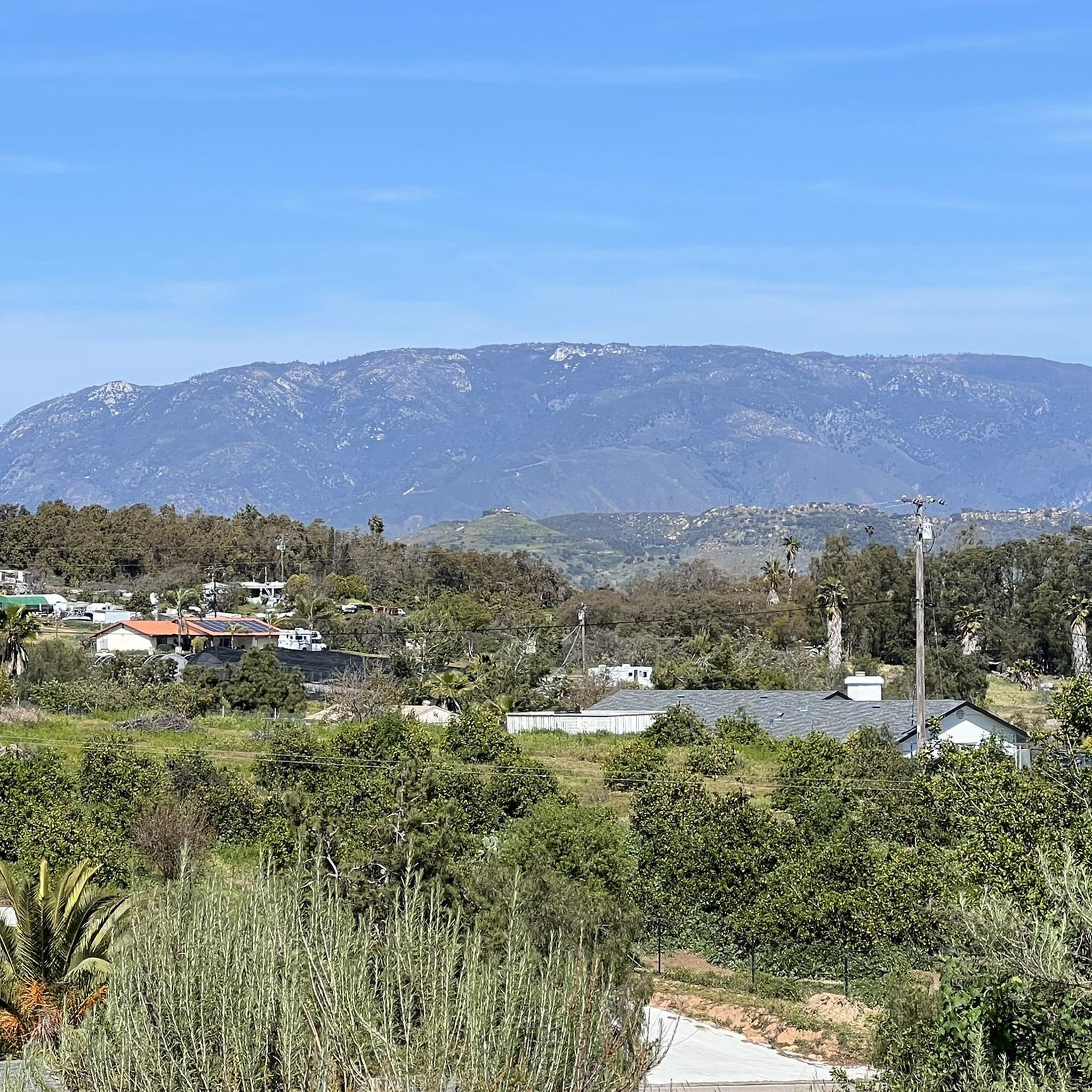

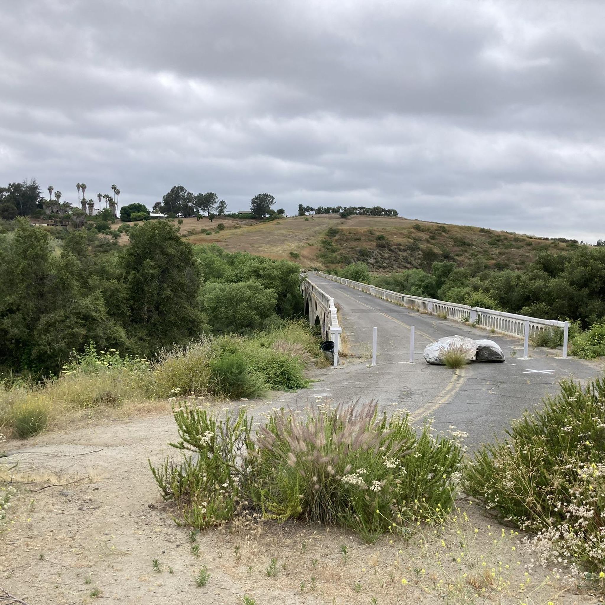

Tips from the Community

Lake Drive passes through the community of Del Dios and runs along Lake Hodges to the dam, offering scenic views of the lake and countryside. This road is also used as part of the Coast to Crest Trail. Hodges Dam was constructed in 1918; the reservoir is a key feature of this route. The trail is a mix of hard-packed doubletrack and some tighter singletrack near the dam, great for beginner and intermediate riders. It is popular for its ease and proximity to trailheads and rewarding views of the dam.
0
0

The David Kreitzer Lake Hodges Pedestrian Bridge is the longest stress ribbon bridge in the world and runs over the San Dieguito River/Lake Hodges. The bridge gates open at 6 a.m. and close at 9 p.m. daily.
0
0
Stop at this viewpoint for great views of the San Pasqual Valley and a possible hawk sighting!
0
0

This trail is mostly flat and winds along the west bank of Lake Hodges, offering views of the water and the dam along the way.
0
0

The Middle Pond and East Ridge Loop is a moderately challenging 1.9-mile loop trail, offering diverse terrain and scenic vistas. Middle Pond itself is a serene attraction, reflecting the surrounding sky and providing a haven for wildlife.
0
0
Daley Ranch is a conservation area owned by the city of Escondido. It is 3,201-acres and has about 25 miles of trails.
1
0
Mallard, an easy out-and-back on Daley Ranch's southern perimeter, follows double track along a collecting pond. Enjoy vistas of Escondido when sage and shrubbery aren't overgrown in this, 3500-acre preserve—a great choice for a short, easy double track ride.
0
0

This lovely reservoir has loads of nice trails around it. It is a great place for mountain biking with nice views. It is created by the damming of the San Dieguito River.
0
0
Frequently Asked Questions
What kind of terrain can I expect on gravel bike trails around Hidden Meadows?
The Hidden Meadows area offers diverse gravel biking terrain, characterized by rural roads, unpaved sections, and rolling landscapes. You'll encounter a mix of gravel and rocky surfaces, often traversing rural canyons and areas with horse farms. Some routes feature sweeping roads, potentially sandy segments, and challenging climbs, including one-mile sections with significant grades.
Are there any easy or beginner-friendly gravel bike trails in Hidden Meadows?
While most routes in the area are rated difficult, there is one moderate option suitable for those looking for a less strenuous ride. Consider the Gravel loop from Cal State San Marcos, which covers 17.8 km and typically takes about 1 hour 29 minutes to complete.
What are some challenging gravel bike routes for experienced riders?
For experienced gravel bikers seeking a challenge, Hidden Meadows offers several difficult routes. The Hodges Dam – Lake Hodges loop from Palomar College is a demanding 92.8 km trail taking over 6 hours. Another excellent option is the Hodges Dam – Lake Hodges loop from Buena Creek Road, a 92.2 km path also rated difficult. Both offer extensive riding around the scenic Hodges Dam and Lake Hodges.
Are there any long-distance gravel bike routes in the Hidden Meadows area?
Yes, Hidden Meadows features several long-distance gravel routes. The Hodges Dam – Lake Hodges loop from Palomar College and the Hodges Dam – Lake Hodges loop from Buena Creek Road are both over 92 km (57 miles) long, offering extensive rides that can take over six hours to complete.
Can I find loop trails for gravel biking in Hidden Meadows?
Many of the gravel routes in Hidden Meadows are designed as loops, providing a convenient way to start and end your ride at the same point. Examples include the Lake Hodges – Coast to Crest Trail loop from Cal State San Marcos and the Gravel loop from Cal State San Marcos.
What are some interesting sights or landmarks along the gravel trails?
While riding, you can explore several nearby attractions. Consider visiting the Daley Ranch Conservation Area, or the Lilac Bridge. For historical interest, the Historic Downtown Vista and the Historic Hwy 395 mural are also nearby. Many routes also pass by scenic lakes like Middle Pond and Mallard Lake.
Are there any routes that offer significant climbs or elevation gain?
Yes, the Hidden Meadows area is known for its challenging terrain, including routes with significant climbs. For instance, the Questhaven Nature Trail – Double Peak Drive Climb loop from Cal State San Marcos includes a notable climb, and the region generally features sections with an average 9.2% constant grade.
What is the best time of year for gravel biking in Hidden Meadows?
Given the varied terrain and potential for sandy segments, spring and fall generally offer the most pleasant conditions for gravel biking in Hidden Meadows, with milder temperatures. While winter biking is possible, be prepared for potentially cooler and wetter conditions, and always check local weather forecasts.
How does gravel biking in Hidden Meadows compare to areas like Escondido or San Marcos?
Hidden Meadows offers a distinct gravel biking experience with its unique blend of rural roads, horse farms, and challenging climbs through rural canyons. While nearby areas like Escondido and San Marcos also offer gravel trails, Hidden Meadows is characterized by its 'hidden gem' feel, providing a mix of sweeping roads and unpaved sections that cater to adventurous cyclists looking for varied surfaces and scenic, less-traveled routes.
Are there any lakes or water features along the gravel biking routes?
Yes, several gravel biking routes in Hidden Meadows pass by or around scenic lakes. The popular Hodges Dam – Lake Hodges loops, such as the one starting from Palomar College, offer extensive riding around Lake Hodges. Other routes may bring you close to Middle Pond, Mallard Lake, and Dixon Lake Park.
What should I wear for gravel biking in Hidden Meadows?
Given the varied terrain and potential for challenging climbs and descents, it's advisable to wear appropriate cycling gear, including a helmet, padded shorts, and layers that can be adjusted for temperature changes. Sturdy gravel-specific shoes and gloves are also recommended. Always carry enough water, especially on longer routes, and consider bringing tools for minor repairs.
Are there any cafes or places to stop for refreshments near the gravel trails?
While the region is known for its rural character, routes that start or pass through areas like Cal State San Marcos or near Historic Downtown Vista may offer access to cafes and other refreshment options. It's always a good idea to plan your stops in advance, especially on longer or more remote routes, and carry sufficient snacks and water.
Most popular attractions around Hidden Meadows

Get inspired with the komoot mobile app


Explore more
Browse the best Gravel rides in other regions.
