The best gravel rides around Rancho Cordova
4.5
(2)
64
riders
4
rides
If you've ever tried to plan gravel biking around Rancho Cordova, you know how quickly the options can feel overwhelming. With so many trails along the American River and around Lake Natoma, it's tough to figure out which routes are genuinely worth your time and effort, and which are just filler. We get it — sifting through endless maps to find those true highlights can be a real pain.
That's where komoot comes in. Our community has ridden, mapped, and reviewed these routes, giving you a curated shortlist of the best gravel bike trails in Rancho Cordova. We've done the groundwork so you don't have to, promising to save you the guesswork and get you straight to the good stuff.
Gravel biking around Rancho Cordova is all about the water. You'll find yourself riding along extensive river parkways and around scenic lakes, with a fantastic mix of unpaved sections and dirt roads. The terrain varies from smooth decomposed granite to some rockier patches, offering a diverse ride for all skill levels. What truly makes it special are the lush riparian habitats and green spaces, providing scenic riverfront views year-round.
If you only do one ride, make it the popular American River Bike Trail – Guy West Bridge loop from University/65th Street. At 20.2 miles (32.5 km), this easy route follows the American River, offering multi-use paths with plenty of unpaved sections that are perfect for a relaxed gravel spin. For something more challenging, local gravel bikers love the difficult Folsom Historic Truss Bridge – Lake Natoma loop from Iron Point, a 31.0 miles (49.9 km) path that truly explores the varied dirt trails around Lake Natoma. With routes rated highly by our community, your next adventure starts here.
Last updated: May 31, 2026
18
riders
48.6km
03:07
440m
440m
Moderate gravel ride. Good fitness required. Mostly paved surfaces. Suitable for all skill levels.
18
riders
Easy gravel ride. Great for any fitness level. Mostly paved surfaces. Suitable for all skill levels.

3
riders
28.9km
01:49
280m
280m
Moderate gravel ride. Good fitness required. Mostly paved surfaces. Suitable for all skill levels.
Our route recommendations are based on thousands of hikes, rides, and runs completed by other people on komoot.
Start today with a free account
Your next adventure awaits.
Tips from the Community

An easy spot to hop off your bike and lounge by the riverside for a little while.
0
0
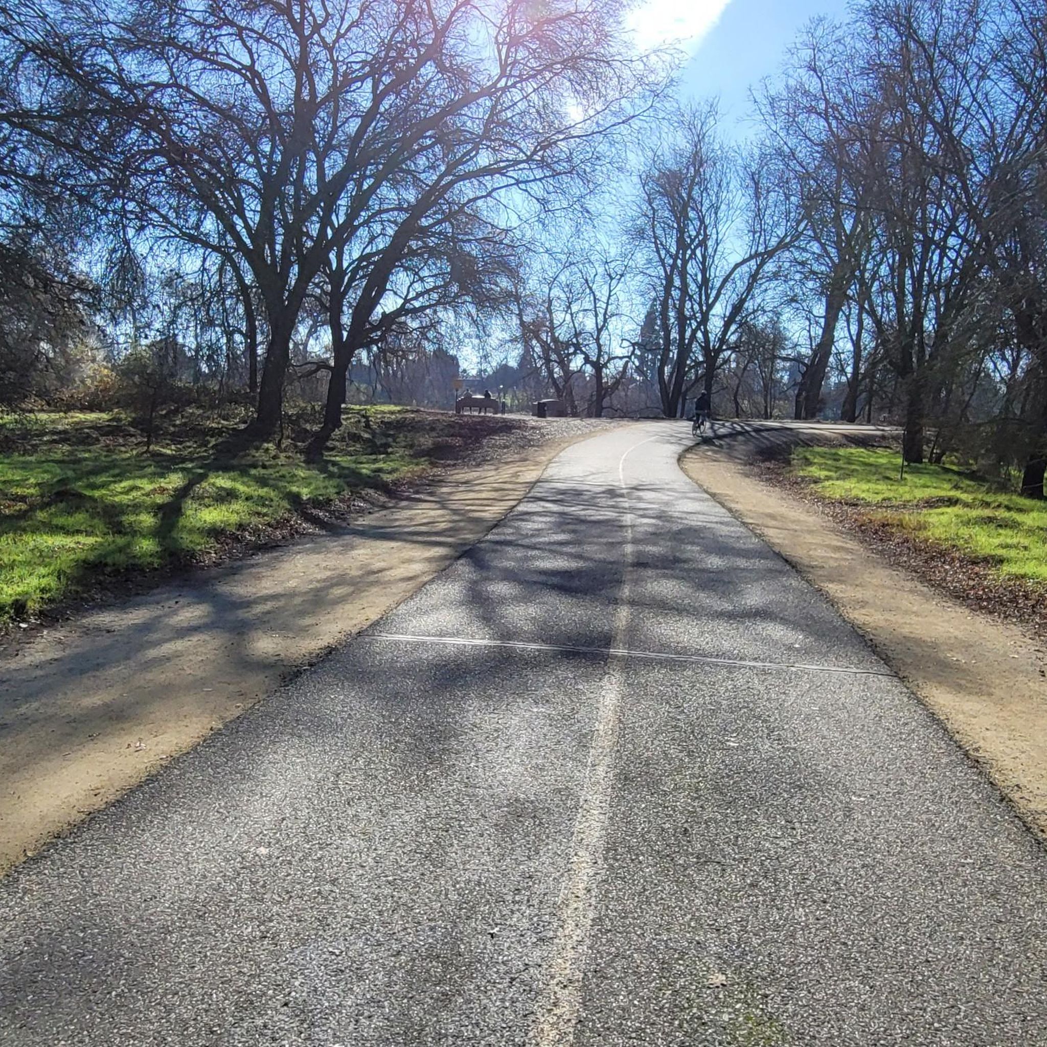
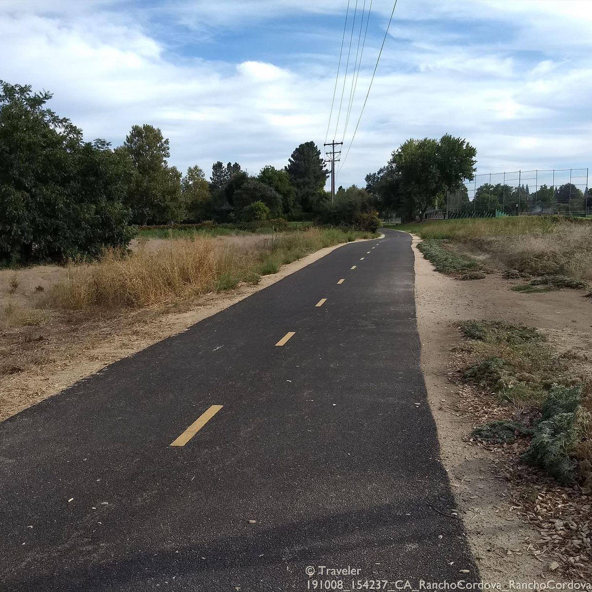
This paved trail winds between Old Sacramento and Folsom — 32 miles in all — linking you up with lots of parks along the way. Plus some gorgeous views of the river it more or less parallels!
0
0

Nimbus Dam was built along the American River, and from this point, you get a good view of it. There’s a fish hatchery and a viewing area nearby, and the paved bike path runs right past it.
0
0

Folsom Historic District is a small area of town that is representative of some of the cultural history of Folsom, dating back to the 1850s. This spot has hundreds of businesses and tons of historical landmarks discussing gold prospectors, the Pony Express, and other notable notches on the city's timeline.
0
0

Little tip-outs on both sides to safely pull over & take pics; the north side (upriver) is deep & boaters fish there. the south side faces down river & the myriad of rapids there. This bridge is one of many along the Jedediah Smith Memorial Bike Trail; a 32 mile, 2 lane multi-use paved path (bikes, peds, equestrian) that runs twix Discovery Park & Granite Bay. IT IS IN ESSENCE OUR BIKE SUPERHIGHWAY..... No Vehicles Allowed. the Jededia is patrolled by red-shirted volunteers, Sac Sheriff & Rangers. there's also Emergency Call Boxes all along it & water spigots too (but only a few! 🤣😆)
0
0

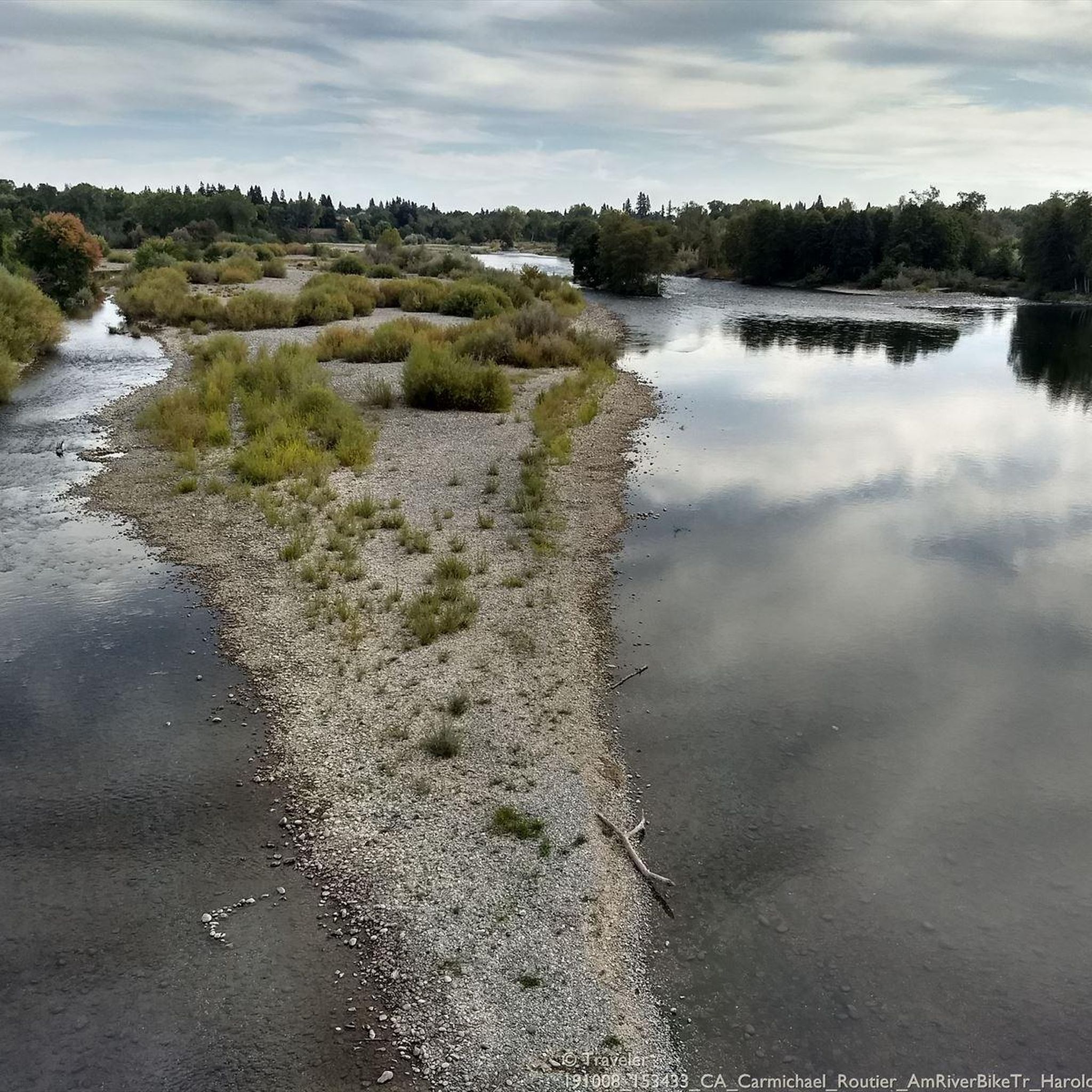
The Harold Richey Memorial Bicycle Bridge, named after county commissioner Harold M. Richey and dedicated to him in 1987, is popular with families and cyclists, especially on weekends. The bridge does not allow cars, with rules on the bridge deck that outline right-of-way guidelines for pedestrians, equestrians, and cyclists.
1
0

Great views while crossing the river on a dedicated bike bridge. Note the fish ladder in the river, an attempt at helping the salmon and other fish survive man's interventions in the natural river course.
1
0

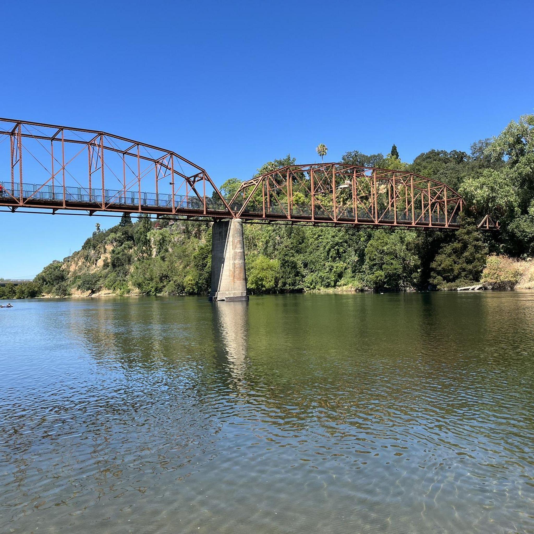
The Folsom Historic Truss Bridge, famous for its unique design, offers lovely views of the river and lake. It's only for pedestrians, making it a great spot for a scenic ride over the water.
0
0
Frequently Asked Questions
How many gravel bike trails are available in Rancho Cordova?
Rancho Cordova offers a diverse selection of over 10 gravel bike trails, catering to various skill levels. These routes explore the scenic American River Parkway, Lake Natoma, and other natural preserves in the area.
What kind of terrain can I expect on gravel bike trails in Rancho Cordova?
You can expect a varied terrain that blends paved paths with significant unpaved sections and dirt roads. This includes smooth decomposed granite, some rocky sections, and levee roads. The American River Parkway, in particular, offers multi-use paths with unpaved shoulders, while areas around Lake Natoma feature more dedicated dirt trails.
Are there easy gravel biking routes suitable for beginners in Rancho Cordova?
Yes, Rancho Cordova has easy gravel biking options perfect for beginners. Many multi-use paths along the American River Parkway offer gentle grades and smooth unpaved sections. For example, parts of the American River Bike Trail – Guy West Bridge loop from University/65th Street provide a moderate, accessible experience.
Are there challenging gravel routes for experienced riders in Rancho Cordova?
Experienced riders looking for a challenge will find routes with more significant elevation changes and varied terrain. The Folsom Historic Truss Bridge – Lake Natoma loop from Iron Point is a difficult 31-mile route that explores the areas around Lake Natoma, featuring dirt trails with varying terrain. Another challenging option is the Lake Natoma – Folsom Historic Truss Bridge loop from Tiber, which covers over 50 miles with notable elevation.
Can I find gravel biking opportunities along the American River Parkway?
Absolutely. The American River Parkway is a prime location for gravel biking in Rancho Cordova. It features the Jedediah Smith Memorial Trail, which, while largely paved, includes significant unpaved sections and gravel shoulders. A dedicated "Off-Paved Trail Cycling Pilot Program" also allows access to unpaved maintenance and fire roads in certain areas, providing extensive gravel opportunities with stunning river views.
Are there gravel trails around Lake Natoma?
Yes, the areas surrounding Lake Natoma offer excellent gravel biking. You'll find green spaces with plentiful hiking and biking trails, including dirt trails suitable for gravel bikes. These trails, particularly on the south side of the lake, are multi-use and feature varying terrain from smooth decomposed granite to some rocky sections, offering great views of the water.
What are some scenic gravel routes in Rancho Cordova?
Many routes offer scenic beauty, especially those along the American River and around Lake Natoma. The Bridge over American River – Frank Cirill Recreation Area loop from Sunrise leads through riverfront parkways and green spaces. The Folsom South Canal Trail also provides miles of uninterrupted biking with scenic water views. For unique ecosystems, consider exploring Mather Regional Park with its vernal pools and wetlands.
What interesting landmarks or attractions can I see along the gravel bike trails?
Along the trails, you can encounter several interesting landmarks. The Folsom Historic Truss Bridge and the Guy West Bridge are notable crossings. You can also visit the Sacramento State Aquatic Center on Lake Natoma or learn about fish conservation at the Nimbus Fish Hatchery, located along the American River.
Where can I find parking for gravel bike trails in Rancho Cordova?
Hagan Community Park is Rancho Cordova's largest park and serves as a convenient starting point for rides along the American River Parkway, offering ample parking. Many trailheads along the American River Parkway and around Lake Natoma also provide designated parking areas. It's always a good idea to check specific route details for the most convenient parking options.
Are there family-friendly gravel biking options in Rancho Cordova?
Yes, Rancho Cordova offers family-friendly gravel biking options, particularly on the less challenging sections of the American River Parkway. These multi-use paths often have smoother unpaved surfaces suitable for families. Always check the route's difficulty and terrain description to ensure it matches your family's comfort level.
What do other gravel bikers enjoy most about gravel biking in Rancho Cordova?
The gravel biking routes in Rancho Cordova are highly rated by the komoot community, with an average score of 5.0 stars. Reviewers often praise the diverse landscape, the blend of paved and unpaved sections, and the scenic beauty along the American River and Lake Natoma. The ability to choose routes suited to different skill levels is also frequently highlighted.
What is the best time of year to go gravel biking in Rancho Cordova?
Rancho Cordova generally offers good gravel biking conditions for much of the year. Spring and fall provide pleasant temperatures, making them ideal. Winter can also be suitable, though conditions may vary, and some trails might be muddy after rain. Summers can be hot, so early morning or late afternoon rides are recommended during those months.
Are there any less crowded gravel trails in Rancho Cordova?
While the American River Parkway can be popular, you can find less crowded options by exploring trails further from major access points or by riding during off-peak hours. The Folsom South Canal Trail offers a quieter alternative for long-distance rides, and the Anatolia Preserve Trail provides a peaceful experience through open spaces with lush landscapes.
Most popular routes around Rancho Cordova
Most popular attractions around Rancho Cordova

Get inspired with the komoot mobile app


Explore more
Browse the best Gravel rides in other regions.
