The best gravel rides around Citrus Heights
1.5
(2)
39
riders
5
rides
Gravel bike trails around Citrus Heights offer access to a diverse landscape, primarily serving as a gateway to the broader Sacramento region's extensive network of gravel paths. The area is characterized by its proximity to the American River, providing access to river levee trails and multi-use paths. Riders can explore routes that traverse agricultural farmlands and connect to more challenging terrain in surrounding hills. This suburban setting provides a strategic starting point for varied gravel biking adventures.
Best gravel bike…
Last updated: October 14, 2026
18
riders
48.6km
03:07
440m
440m
Moderate gravel ride. Good fitness required. Mostly paved surfaces. Suitable for all skill levels.
1.0
(1)
10
riders
Moderate gravel ride. Good fitness required. Mostly paved surfaces. Suitable for all skill levels.

5
riders
Easy gravel ride. Great for any fitness level. Mostly paved surfaces. Suitable for all skill levels.
3
riders
28.9km
01:49
280m
280m
Moderate gravel ride. Good fitness required. Mostly paved surfaces. Suitable for all skill levels.
2.0
(1)
3
riders
31.1km
01:54
290m
290m
Moderate gravel ride. Good fitness required. Mostly paved surfaces. Suitable for all skill levels.
Our route recommendations are based on thousands of hikes, rides, and runs completed by other people on komoot.
Start today with a free account
Your next adventure awaits.


Tips from the Community

Nimbus Dam was built along the American River, and from this point, you get a good view of it. There’s a fish hatchery and a viewing area nearby, and the paved bike path runs right past it.
0
0

Folsom Historic District is a small area of town that is representative of some of the cultural history of Folsom, dating back to the 1850s. This spot has hundreds of businesses and tons of historical landmarks discussing gold prospectors, the Pony Express, and other notable notches on the city's timeline.
0
0

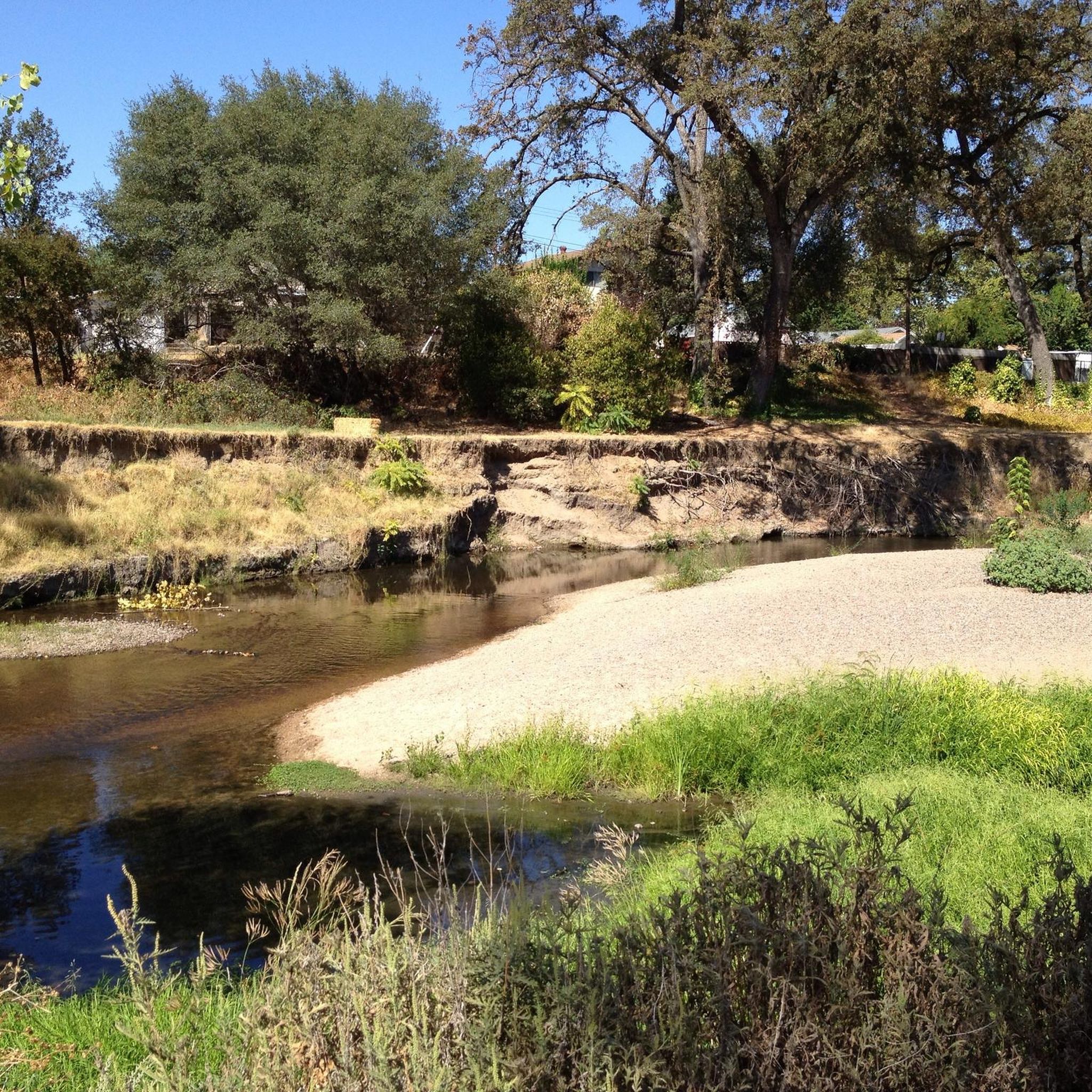
Sandy beach at the trailhead for the unpaved continuation of the waterfront trail coming from Folsom, heading along the shore toward the American River Canyon.
1
0
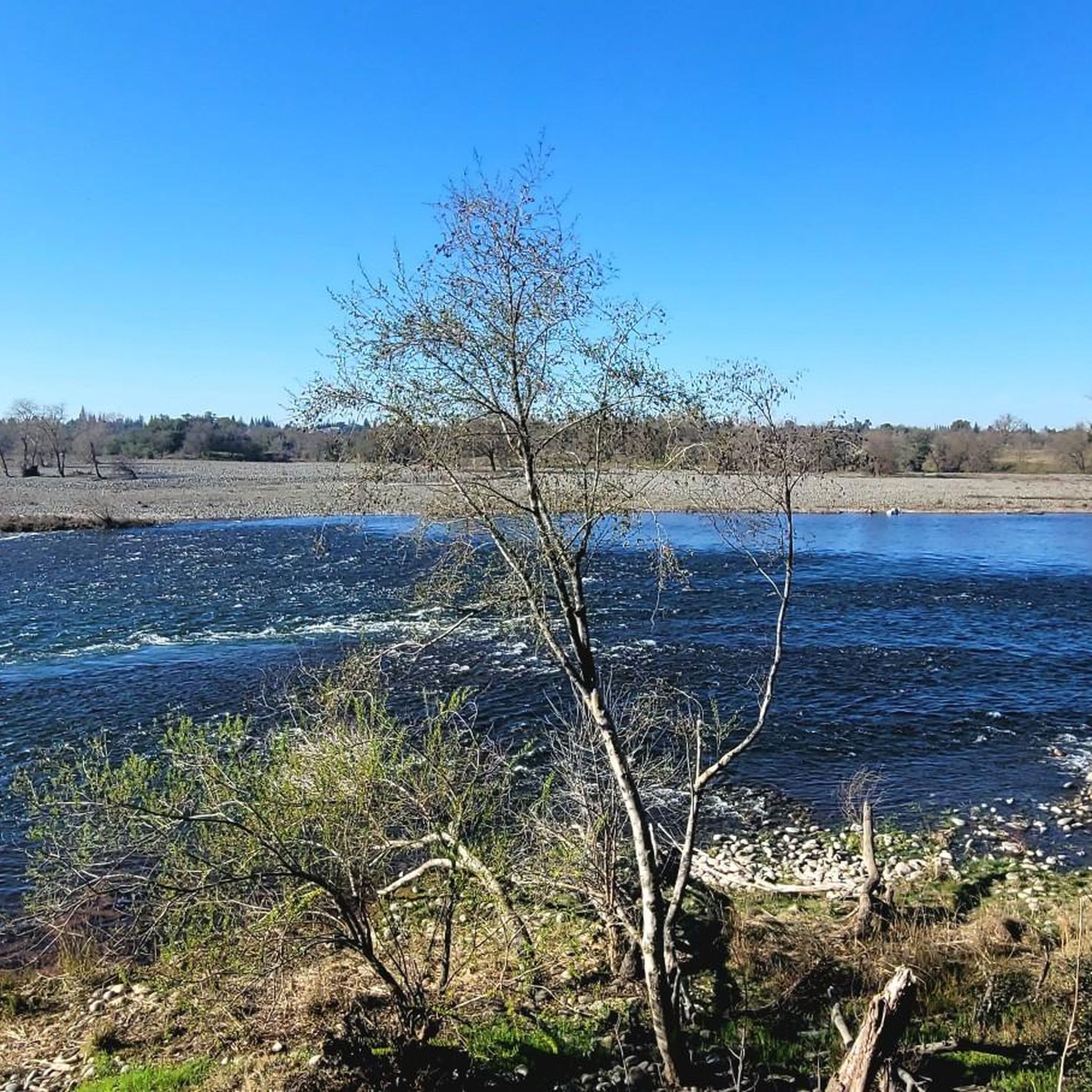
Great views while crossing the river on a dedicated bike bridge. Note the fish ladder in the river, an attempt at helping the salmon and other fish survive man's interventions in the natural river course.
1
0

Granite Bay is probably the most popular location along the shores of Folsom Lake. It includes a sandy beach and swimming opportunities in the summer, multiple picnic areas and many more amenities. Furthermore, it is a great spot to enjoy a little ride with great views of the lake.
0
0

The Folsom Historic Truss Bridge, famous for its unique design, offers lovely views of the river and lake. It's only for pedestrians, making it a great spot for a scenic ride over the water.
0
0

As you embark on this stunning path, stay alert and exercise caution, especially during wet weather. Certain parts of the trail may be slippery, so while enjoying the picturesque views, always be aware and take necessary measures to ensure your safety.
0
0

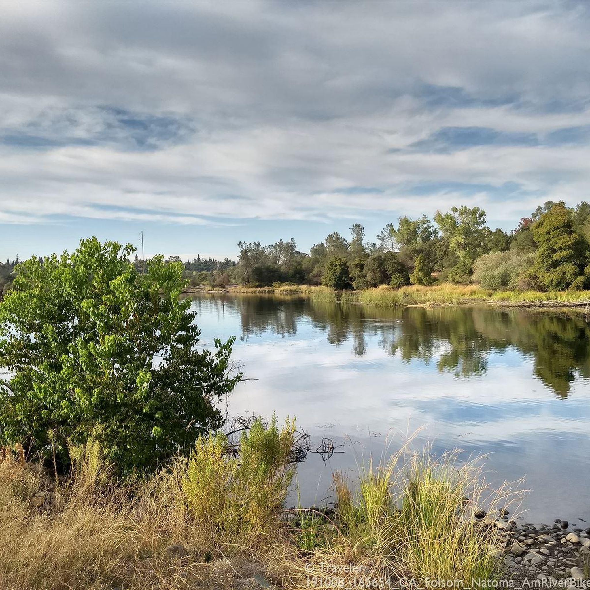
This is a very aesthetic bridge with great views over the river and Lake Natoma. It's pedestrian-only, so perfect for running.
1
0
Frequently Asked Questions
What kind of gravel biking experience can I expect around Citrus Heights?
Gravel biking around Citrus Heights offers a diverse experience, primarily serving as a gateway to the broader Sacramento region's extensive network of gravel paths. You'll find routes traversing agricultural farmlands, river levee trails, and multi-use paths, with options connecting to more challenging terrain in surrounding hills. The area provides a strategic starting point for varied gravel biking adventures, from flat sections to routes with moderate climbs.
Are there gravel biking options suitable for beginners or families in the Citrus Heights area?
While the specific routes highlighted are moderate to difficult, Citrus Heights' proximity to the American River Bike Trail and its numerous 'bum tracks' and dirt/levee options offer varied terrain. For a more relaxed experience, the local multi-use trails like the Arcade-Cripple Creek Trail or the Old Auburn Multi-Use Trail, though generally paved, provide pleasant settings for general outdoor recreation and can be a good starting point for families or beginners looking to explore on gravel bikes.
What are some scenic highlights or landmarks I might encounter on gravel bike trails near Citrus Heights?
Many gravel routes in the region offer scenic views along the American River. You might pass by significant landmarks such as the Folsom Historic Truss Bridge, Folsom Dam, and Lake Natoma. The Bridge over American River – Frank Cirill Recreation Area loop from Sunrise, for instance, offers scenic views of the American River and passes through recreational areas.
Are there any loop gravel bike trails in the Citrus Heights area?
Yes, several popular gravel bike trails in the region are loops. For example, the Folsom Historic Truss Bridge – Lake Natoma loop from Iron Point is a 31-mile route featuring diverse terrain. Another option is the Folsom Dam – Folsom Historic Truss Bridge loop from Iron Point, an 18-mile trail leading through river parkways.
What is the best time of year for gravel biking around Citrus Heights?
The Sacramento region generally offers good gravel biking conditions for much of the year. Spring and Fall provide pleasant temperatures, ideal for longer rides. While winter conditions are generally mild, some trails might be muddy after rain. Summers can be hot, so early morning or late afternoon rides are recommended during peak heat.
Where can I find parking for gravel bike trails near Citrus Heights?
Many regional trailheads, especially along the American River, offer designated parking areas. For routes like those starting from Iron Point or Sunrise, you'll typically find parking available near the access points to the American River Parkway or Folsom Lake State Recreation Area. Local parks within Citrus Heights, such as Rusch Park or Northwoods Park, also provide parking for accessing multi-use trails.
Are there any dog-friendly gravel trails near Citrus Heights?
Many multi-use trails and levee paths in the broader Sacramento area, including sections of the American River Parkway, are dog-friendly, provided dogs are on a leash. Always check specific trail regulations before heading out, as rules can vary by park or preserve. For example, the Stock Ranch Nature Preserve offers walking paths along Arcade and San Juan creeks, which are suitable for leashed dogs.
Can I access gravel bike trails near Citrus Heights using public transport?
While direct public transport access to all gravel trailheads might be limited, Sacramento Regional Transit (SacRT) buses are equipped with bike racks, allowing you to get closer to some trail access points, particularly those along the American River Parkway. Planning your route with SacRT's services can help you reach various starting points for regional gravel adventures.
What do other gravel bikers enjoy most about gravel biking in Citrus Heights and the surrounding area?
The gravel biking opportunities around Citrus Heights are highly rated by the komoot community, with an average score of 5.0 stars. Reviewers often praise the diverse terrain, from river levee trails to agricultural farmlands, and the accessibility to a wide network of paths. Many appreciate the strategic starting point Citrus Heights offers for exploring the broader Sacramento region's varied gravel routes.
Are there any cafes or places to stop for refreshments along the gravel bike routes?
Many of the regional gravel routes, especially those along the American River Parkway or connecting to towns like Folsom, will have access to cafes, restaurants, and convenience stores. For instance, routes that pass through or near Folsom, such as the Folsom Historic Truss Bridge – Lake Natoma loop from Iron Point, offer opportunities to stop in town for refreshments. Within Citrus Heights itself, the Sunrise MarketPlace, accessible via the Arcade-Cripple Creek Trail, provides various amenities.
How many gravel bike trails are available for exploration around Citrus Heights?
There are several dedicated gravel bike trails highlighted in the immediate vicinity and many more accessible within the broader Sacramento region. Komoot features 4 distinct gravel routes starting near Citrus Heights, all rated moderate to difficult, providing a good starting point for exploring the diverse terrain of river levees and farmlands.
Most popular attractions around Citrus Heights

Get inspired with the komoot mobile app


Explore more
Browse the best Gravel rides in other regions.
