The best gravel rides around Sunnyvale
4.7
(42)
370
riders
45
rides
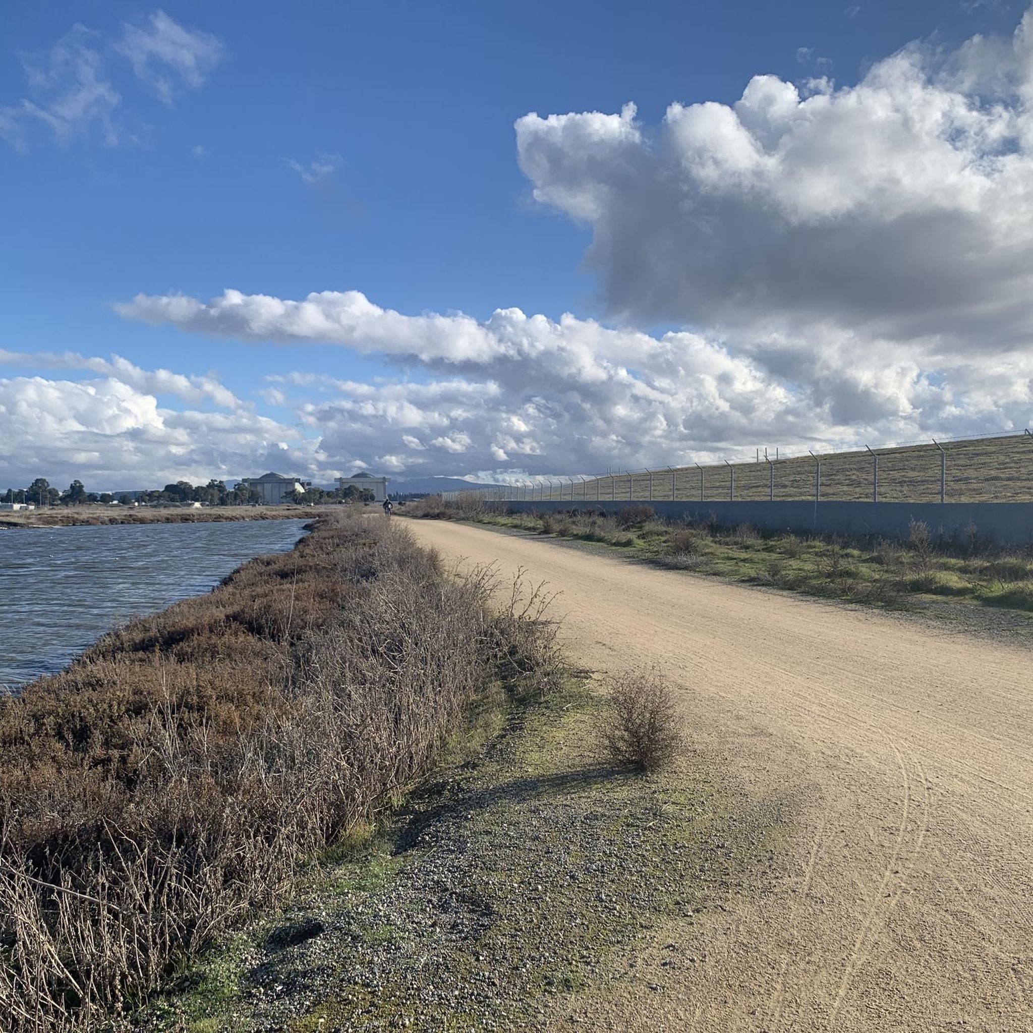
Gravel biking around Sunnyvale offers access to a network of trails along the San Francisco Bay and Stevens Creek. The region features a mix of paved and compacted gravel paths, including levees and dirt trails that wind through wetlands and provide expansive bay views. Riders can explore areas like Baylands Park, which includes gravel sections and a path ascending a landfill hill for panoramic views. The landscape is characterized by the San Francisco Bay shoreline, marshy wetlands, and salt flats, providing varied terrain for gravel cycling.
Best gravel bike trails around Sunnyvale
- The most popular gravel bike trail is Moffett Boulevard Bike Bridge – Stevens Creek bridge loop from Whisman, an 18.7 miles (30.1 km) trail that takes 2 hours 4 minutes to complete. This route connects to the Stevens Creek Trail, offering views of the bay and wetlands.
- Another top favourite among local gravel bikers is Stevens Creek bridge – San Francisco Bay Trail loop from Sunnyvale, a difficult 52.3 miles (84.2 km) path. This extensive route features levee paths and dirt trails with broad bay views.
- Local gravel bikers also love the Stevens Creek Reservoir – Altamont Road Vineyard loop from Downtown Mountain View, a 32.0 miles (51.6 km) trail leading through varied terrain near Stevens Creek Reservoir, often completed in about 4 hours 1 minute.
- Gravel biking around Sunnyvale is defined by the San Francisco Bay shoreline, Stevens Creek, and extensive wetland areas. The network offers options for different ability levels, from easy loops to more challenging long-distance routes.
- The routes in Sunnyvale are highly rated by the komoot community with an average score of 4.5 stars from over 20 reviews. More than 280 gravel bikers have used komoot to explore Sunnyvale's varied terrain.
Last updated: October 14, 2026
5.0
(3)
22
riders
Easy gravel ride. Great for any fitness level. Mostly paved surfaces. Suitable for all skill levels.
4.3
(3)
12
riders
Moderate gravel ride. Good fitness required. Mostly paved surfaces. Suitable for all skill levels.

5.0
(2)
18
riders
Easy gravel ride. Great for any fitness level. Mostly paved surfaces. Suitable for all skill levels.
4.5
(2)
7
riders
23.5km
01:59
500m
500m
Hard gravel ride. Very good fitness required. Mostly paved surfaces. Suitable for all skill levels.
5.0
(1)
21
riders
Easy gravel ride. Great for any fitness level. Mostly paved surfaces. Suitable for all skill levels.
Get access to more routes and recommendations from other explorers.
Already have an account?
Our route recommendations are based on thousands of hikes, rides, and runs completed by other people on komoot.
Start today with a free account
Your next adventure awaits.
Tips from the Community

Stevens Creek Reservoir spans 87 acres and is surrounded by a 1,063-acre park. Visitors can enjoy hiking, horseback riding, picnicking, and limited fishing. Seasonal boating for low-power boats is available from mid-April to mid-October. The park is open daily from 8 a.m. to sunset, with vehicle entry fees collected year-round at the Chestnut parking lot. Visitors can explore natural beauty and historic remnants like the Villa Maria orchard.
0
0


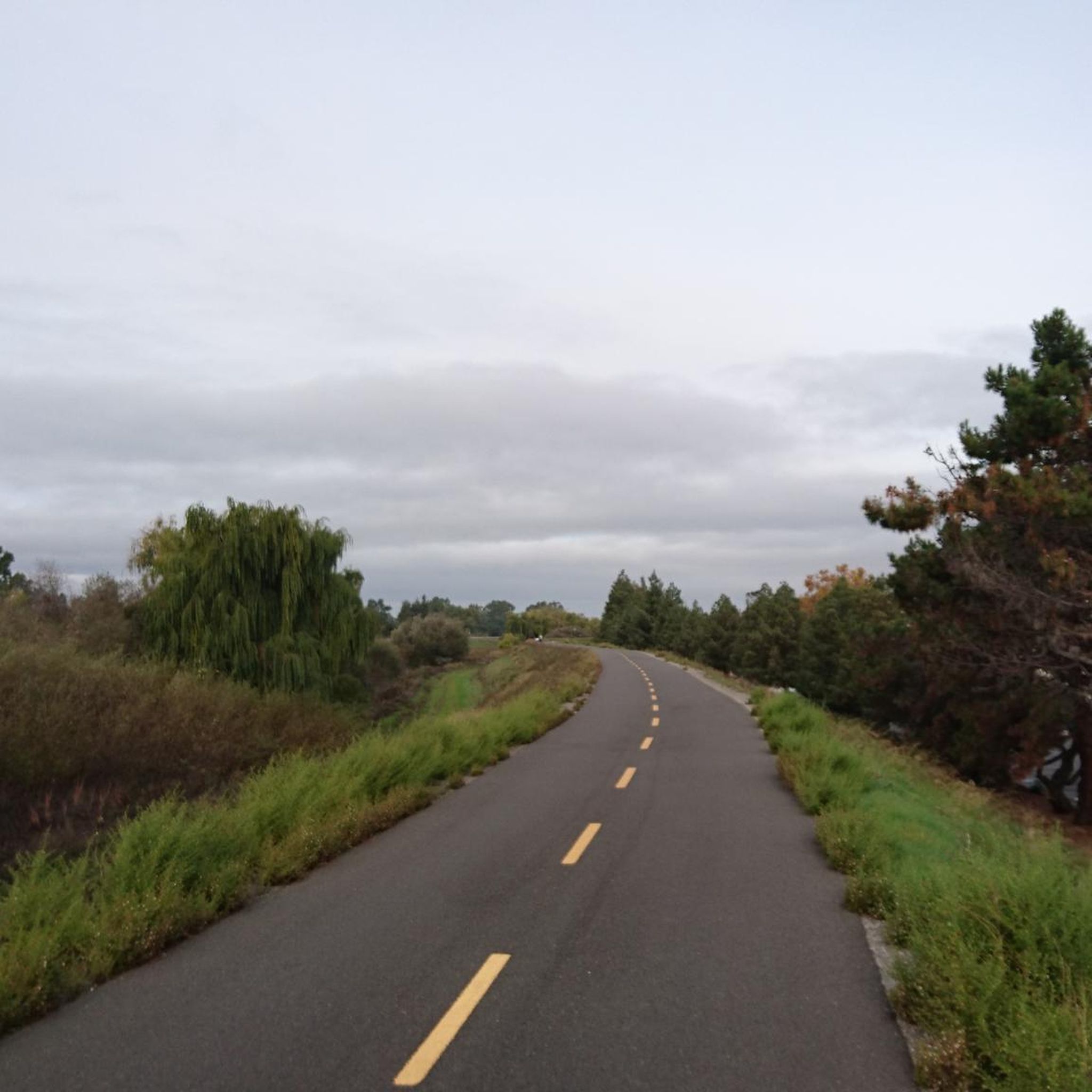
The San Francisco Bay Trail is a flat, paved trail that runs along the border of the bay. It is a great place for a run because it is traffic free and has great views.
0
0

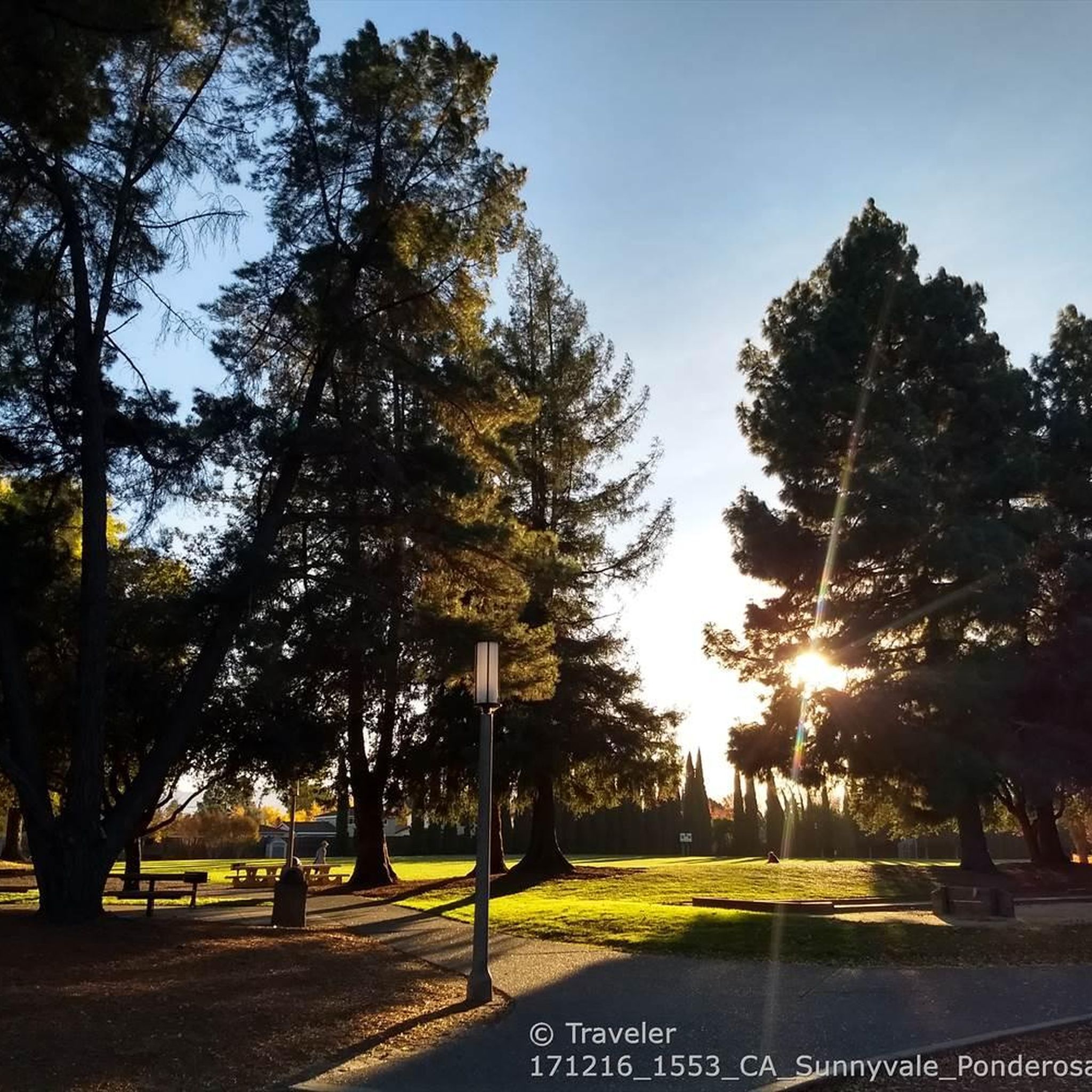
Charming bridge crossing Seven's Creek Boulevard at the north end of Creekside Park. Nearby, you’ll find the historic Stocklmeir Farmhouse in Blackberry Farm Park.
0
0

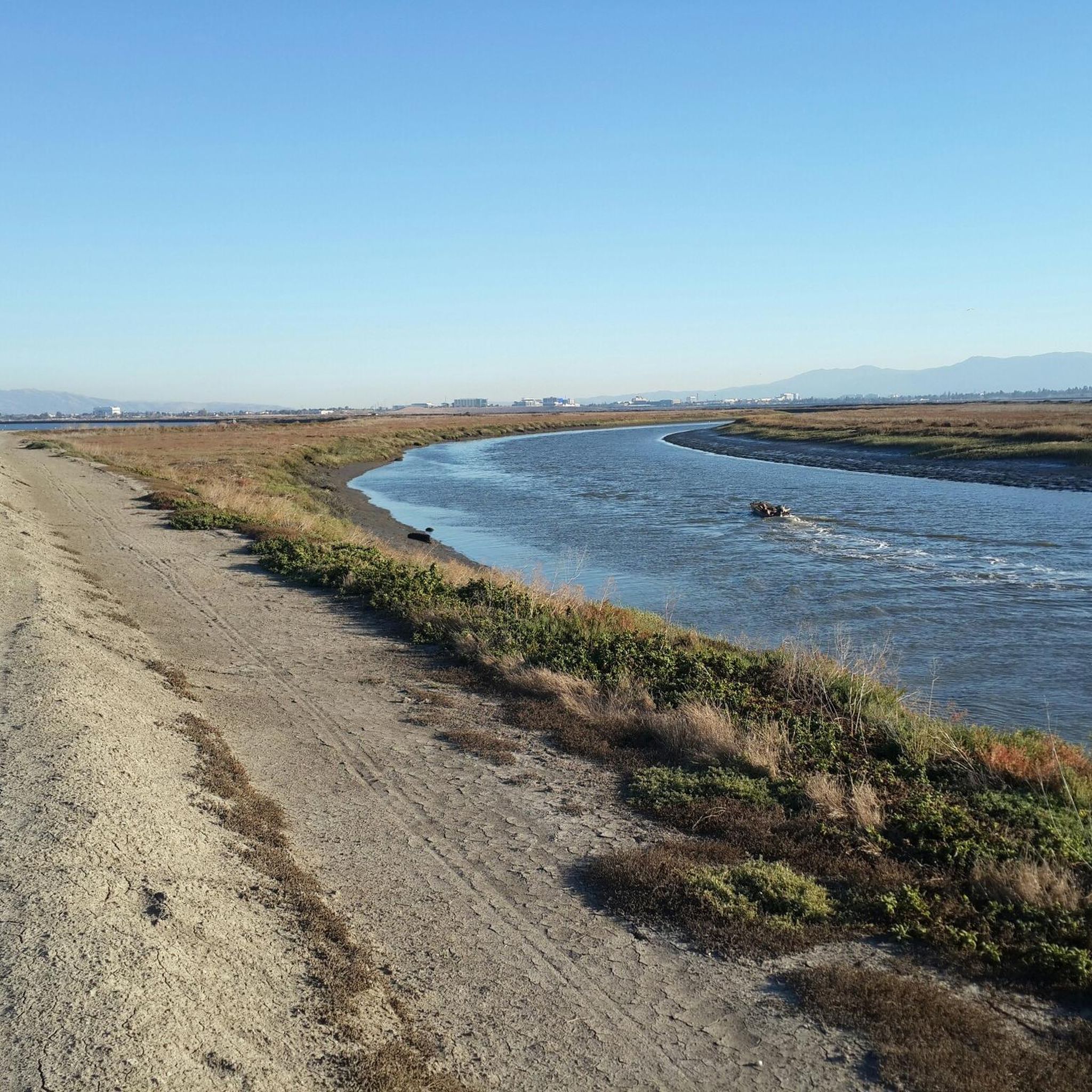
The Donald M. Somers Water Pollution Control Plant, also called the Sunnyvale Water Treatment Center, is a wastewater treatment plant focused on making the water clean enough to be safely released into San Francisco Bay or used for non-drinking purposes. The plant produces about 300 million gallons of recycled water each year.
0
0
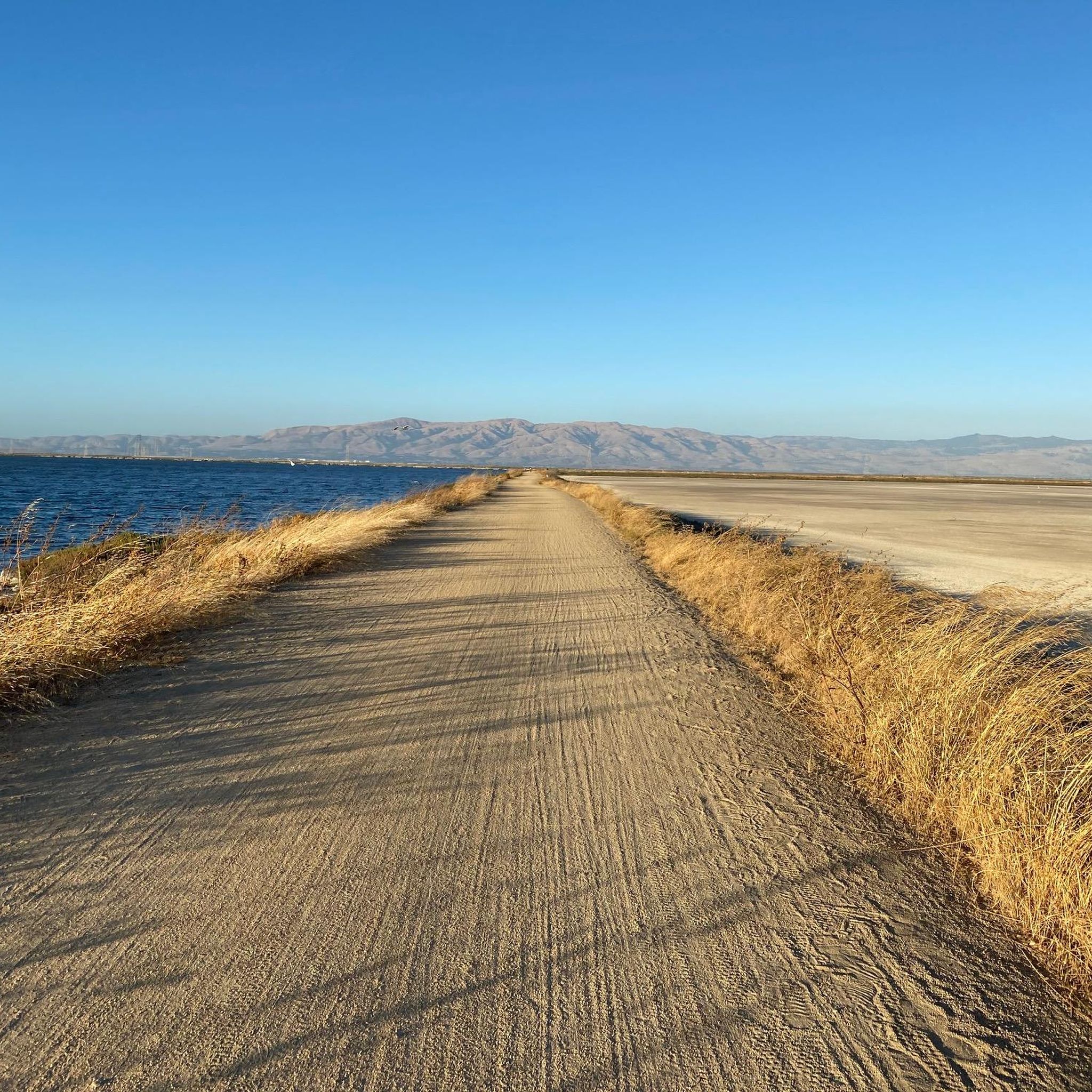
Ravenswood Preserve, a 376-acre wetland in the San Francisco Bay, is a great spot for birdwatching and family fun. Open from half an hour before sunrise to half an hour after sunset, it features a flat trail for walking and biking along the marsh levee. Migrating birds like sandpipers, avocets, and herons frequent the area, while the marshland are home to endangered species like the Ridgway's rail.
0
0
Frequently Asked Questions
What types of terrain can I expect on gravel bike trails around Sunnyvale?
Gravel biking around Sunnyvale offers a diverse mix of surfaces. You'll find extensive networks of compacted gravel paths, dirt trails, and levee paths, particularly along the San Francisco Bay Trail and Stevens Creek. Some sections, especially within Baylands Park, feature coarse gravel and dirt, which can vary with the season. These trails often wind through wetlands, salt flats, and offer expansive bay views.
Are there any easy gravel bike routes suitable for beginners in Sunnyvale?
Yes, Sunnyvale has several easy gravel biking options. For instance, the Moffett Federal Airfield – Stevens Creek bridge loop from Santa Clara-Great America is an easy 25.7 km route with minimal elevation gain. Another accessible option is the Moffett Boulevard Bike Bridge – Stevens Creek bridge loop from Whisman, which is 30.1 km long and connects to the Stevens Creek Trail, offering pleasant views.
What are some of the more challenging gravel bike trails in the Sunnyvale area?
For experienced gravel bikers seeking a challenge, routes like the Stevens Creek bridge – San Francisco Bay Trail loop from Sunnyvale offer a difficult 84.2 km ride with notable elevation changes and broad bay views. Another demanding option is the Stevens Creek Reservoir – Altamont Road Vineyard loop from Downtown Mountain View, a 51.6 km trail with significant climbs, leading through varied terrain near Stevens Creek Reservoir.
Can I find circular gravel bike routes in Sunnyvale?
Absolutely. Many of the gravel bike trails in Sunnyvale are designed as loops, allowing you to start and end at the same point. Examples include the San Francisco Bay Trail – San Francisco Bay Trail loop from Whisman, a moderate 51 km route, and the Moffett Boulevard Bike Bridge – Stevens Creek bridge loop from Whisman, an easy 30.1 km option.
What natural features or landmarks can I see along the gravel bike trails?
The trails offer stunning views of the San Francisco Bay shoreline, marshy wetlands, and salt flats, especially in areas like Baylands Park and Alviso. You can also follow Stevens Creek, which flows through natural corridors. Notable highlights include the Former salt ponds – Alviso wetlands, the Stevens Creek Reservoir, and the panoramic views from the landfill hill in Baylands Park. For broader views, consider visiting the Byrne Preserve Lookout.
Are the gravel bike trails in Sunnyvale suitable for families?
Yes, many sections of the gravel trails, particularly the easier, flatter loops along the Baylands Park and Stevens Creek Trail, are suitable for families. These areas often feature multi-use paths and offer scenic, relatively safe environments for riders of varying skill levels. Baylands Park itself is a great spot with developed parkland and an Environmental Education Center.
What is the best time of year for gravel biking in Sunnyvale?
Sunnyvale generally offers good gravel biking conditions year-round due to its mild climate. However, spring and fall are particularly pleasant, with comfortable temperatures and less chance of extreme weather. Winter can be good, but some dirt sections might be muddier after rain. Summer can be warm, so early morning or late afternoon rides are often preferred.
Are there opportunities for wildlife viewing on the gravel trails?
Absolutely. The gravel trails frequently pass through significant natural habitats. Baylands Park and the Alviso wetlands are renowned for birdwatching, with diverse ecosystems and salt marshes attracting various species. The San Francisco Bay shoreline and wetland preserves are excellent for observing local wildlife in their natural environment.
How many gravel bike trails are available in the Sunnyvale area?
There are over 50 gravel bike trails available around Sunnyvale, catering to various skill levels. This includes 8 easy routes, 26 moderate routes, and 21 difficult routes, ensuring options for everyone from beginners to advanced riders.
What do other gravel bikers say about the trails in Sunnyvale?
The gravel biking routes in Sunnyvale are highly rated by the komoot community, with an average score of 4.5 stars from over 20 reviews. Many riders praise the varied terrain, the stunning bay views, and the extensive network of paths that allow for diverse cycling experiences.
Is public transport available to access gravel bike trails in Sunnyvale?
Sunnyvale has public transport options that can help you access various parts of the trail network. The San Francisco Bay Trail and Stevens Creek Trail are often accessible from areas served by local transit, making it possible to reach starting points without a car. Specific bus routes or Caltrain stations might be convenient depending on your chosen route.
Are there any places to explore or visit near the gravel biking routes?
Beyond the trails themselves, you can explore several interesting spots. The Alviso Marina County Park is a great starting point for exploring the salt flats. For a change of scenery, the San Jose Municipal Rose Garden is a beautiful spot, and the Black Mountain offers a more distant natural monument to consider.
Most popular routes around Sunnyvale
Most popular attractions around Sunnyvale

Get inspired with the komoot mobile app


Explore more
Browse the best Gravel rides in other regions.
