The best gravel rides around Morin-Heights
4.7
(54)
923
riders
31
rides
Gravel biking around Morin-Heights offers diverse landscapes within the Laurentian region. The area features wooded, hilly terrain and serene lake views, providing a varied backdrop for cycling. A significant feature is the Aerobic Corridor, a former railway line transformed into a multi-use path with mixed gravel, dirt, and sand surfaces. This network provides routes that cater to different fitness and skill levels.
Best gravel bike trails around Morin-Heights
- The most popular gravel bike trail is Aerobic Corridor – Lac des…
Last updated: October 20, 2026
5.0
(5)
104
riders
Hard gravel ride. Very good fitness required. Mostly paved surfaces. Suitable for all skill levels.
4.8
(4)
78
riders
44.9km
02:40
570m
570m
Hard gravel ride. Very good fitness required. Mostly paved surfaces. Suitable for all skill levels.

4.7
(6)
76
riders
35.4km
01:50
220m
220m
Moderate gravel ride. Good fitness required. Mostly paved surfaces. Suitable for all skill levels.
5.0
(2)
19
riders
Hard gravel ride. Very good fitness required. Mostly paved surfaces. Suitable for all skill levels.
4.0
(4)
64
riders
Moderate gravel ride. Good fitness required. Mostly paved surfaces. Suitable for all skill levels.
Get access to more routes and recommendations from other explorers.
Already have an account?
Our route recommendations are based on thousands of hikes, rides, and runs completed by other people on komoot.
Start today with a free account
Your next adventure awaits.

Other adventures around Morin-Heights

Tips from the Community

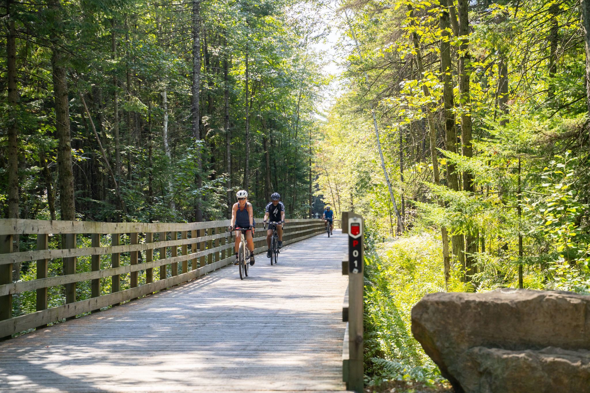
The Corridor Aérobique stretches through the heart of the Laurentians, connecting Morin-Heights to Saint-Rémi-d'Amherst. Built on an old Canadian National railway line. It's a 58-kilometer long multi-use trail with a smooth surface made up of compacted crushed stone and sand. In the summer, it accommodates cyclists, gravel bikers, and trail runners, walkers and sight seers, while in the winter it transforms it into a groomed track for classic and skate cross-country skiing.
0
0
The Corridor Aérobique stretches 58 kilometres, from Morin-Heights in the south-east to Saint-Rémi-d'Amherst in the north-west. Here in Morin-Heights, just 800 meters past the start of the trail, these building and facilities welcome hikers and bikers to the Corridor Aérobique. Here there are public restrooms, a bike repair station and a water fountain. It's hard to miss this old style yellow and red building, with Adirondack chairs and picnic tables outside.
0
0
Montfort is a small riverside village that was established in the late 19th century by the Sulpicians as an orphanage. The scenic village is home to about 2000 people and is surrounded by forests and popular with hikers and bikers in summer and cross-country skiers in winter.
0
0

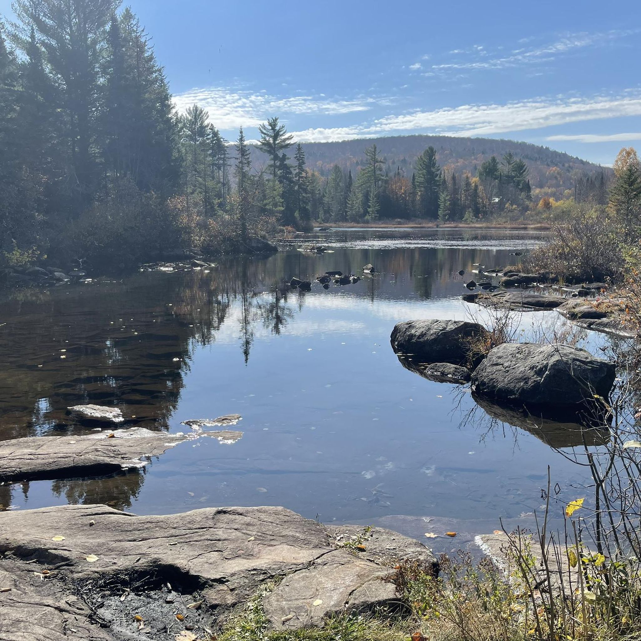
Located in the Laurentians, this tranquil body of water is surrounded by forests and residences, offering a peaceful natural setting near Saint-Sauveur.
0
0
The charming town of Saint-Sauveur, in the Laurentians, is a popular tourist destination, known for its ski resorts, quaint boutiques, restaurants, and festivals.
0
0
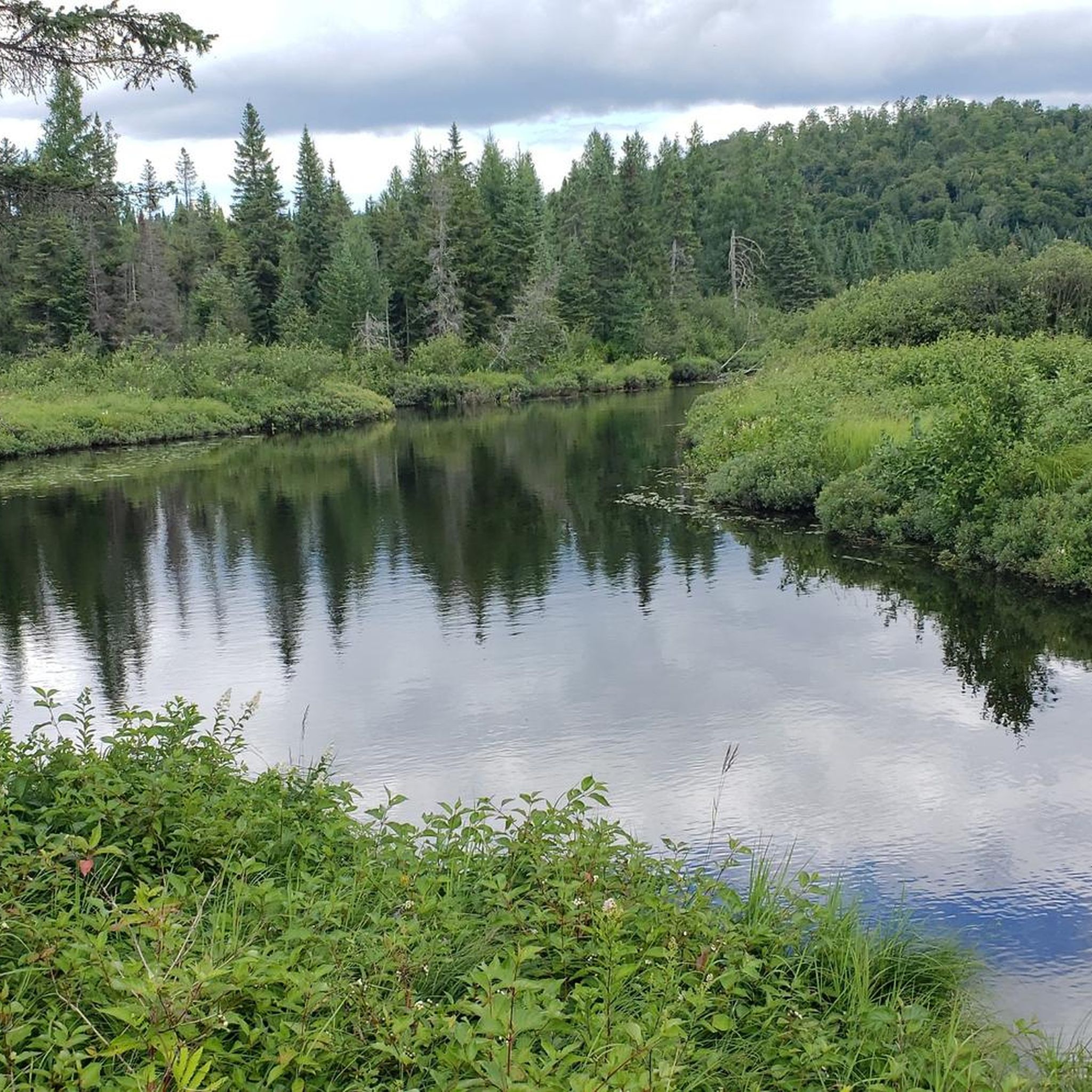
Rat Lake is a peaceful natural body of water located near the village of Weir. Nestled in a typical regional forest landscape, it is surrounded by hills and woods, making it a popular spot for nature walks and outdoor activities.
0
0
Lake of the Sixteen Islands is one of the natural gems of the Laurentians region. This freshwater lake, stretching for nearly six kilometers, is surrounded by wooded shores and picturesque cottages. Despite its name, it actually contains about twenty small islands dotting its clear waters, remnants of the glaciers that sculpted these landscapes millennia ago.
0
0
Near the town of Saint-Jérôme, you have a beautiful view of the Rivière du Nord which flows between impressive rock formations.
0
0
Frequently Asked Questions
How many gravel bike trails are there in Morin-Heights?
Morin-Heights offers a selection of over 10 gravel biking routes. These trails cater to various skill levels, from moderate excursions to more challenging rides with significant elevation gains.
What is the terrain like for gravel biking in Morin-Heights?
The terrain in Morin-Heights is characterized by wooded and hilly landscapes, often incorporating former railway lines like the Aerobic Corridor. You can expect a mix of gravel, dirt, and sand surfaces, along with serene lake views, providing a diverse backdrop for your rides.
What is the best time to visit Morin-Heights for gravel biking?
The region is ideal for gravel biking during the warmer months when the trails are clear of snow and ice. The natural beauty of the Laurentians, with its wooded and hilly landscapes, is particularly enjoyable in spring, summer, and fall.
Are there gravel bike trails suitable for beginners or families in Morin-Heights?
Yes, while many routes offer challenges, there are options suitable for those looking for a more moderate experience. For example, the Aerobic Corridor loop from Morin Heights is a moderate 15.7-mile trail that leads through wooded sections, offering a good introduction to the area's gravel biking.
What natural features or landmarks can I see along the gravel bike trails?
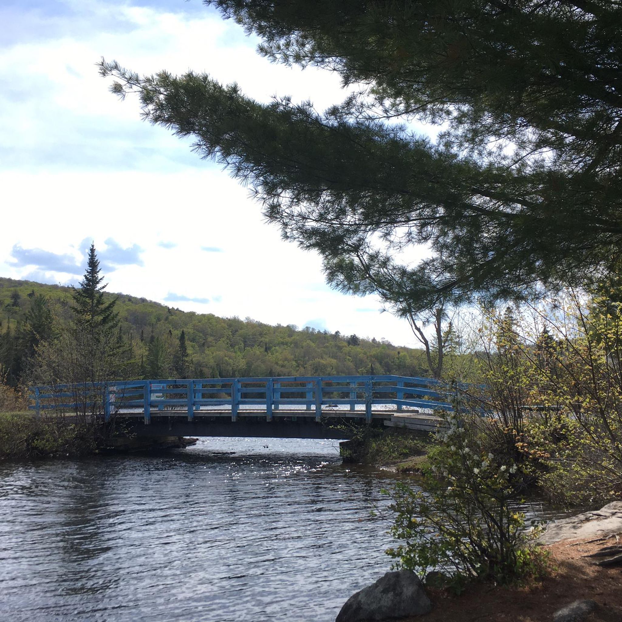
Many routes offer picturesque views of natural features like Lake Raymond and the surrounding wooded hills. You might also encounter structures like the Blue Bridge Over rivière à Simon. The Aerobic Corridor itself is a significant feature, being a converted railway line.
Are there any circular gravel biking routes in Morin-Heights?
Yes, several routes in Morin-Heights are designed as loops. A popular option is the Aerobic Corridor – Lac des Seize-Îles loop from Sentiers Secteur rue des Bouleaux, which is a longer 39.9-mile ride utilizing sections of the Aerobic Corridor.
Where can I park when gravel biking in Morin-Heights?
Parking is generally available at trailheads and access points to the Aerobic Corridor. Specific parking details can often be found on individual route pages or local municipal websites for Morin-Heights.
Are there cafes or places to stop for refreshments along the trails?
Yes, amenities like Café de la gare de Sainte-Adèle provide convenient mid-ride stops. The town of Morin-Heights itself also offers various cafes and services for cyclists.
Are permits required for gravel biking on the trails in Morin-Heights?
Generally, permits are not required for gravel biking on public multi-use paths like the Aerobic Corridor. However, it's always advisable to check local regulations for specific trails or private land access if you plan to venture off the main routes.
Are dogs allowed on the gravel biking trails in Morin-Heights?
Many multi-use trails in the region, including sections of the Aerobic Corridor, are dog-friendly, usually requiring dogs to be on a leash. It's best to verify specific rules for each trail or park you plan to visit.
What do other gravel bikers enjoy the most about gravel biking in Morin-Heights?
The area is highly rated by the komoot community, with an average score of 4.7 stars from over 40 reviews. Reviewers often praise the diverse landscapes, the well-maintained Aerobic Corridor, and the blend of wooded, hilly terrain with serene lake views that provide a picturesque backdrop for cycling.
Are there any longer or more challenging gravel routes for experienced riders?
Absolutely. For experienced riders seeking a challenge, the Lac des Seize-Îles – Corridor Aérobique Bridge loop from Morin Heights is a difficult 56.6-mile path with significant elevation gain and diverse surfaces, connecting the Aerobic Corridor with the Lac des Seize-Îles area.
Is public transport available to reach the gravel biking trails in Morin-Heights?
Public transport options to Morin-Heights are limited, but regional bus services may connect to nearby towns. For cyclists, driving to a trailhead with parking is often the most convenient way to access the gravel biking routes.
Most popular routes around Morin-Heights
Most popular attractions around Morin-Heights

Get inspired with the komoot mobile app


Explore more
Browse the best Gravel rides in other regions.
