The best gravel rides around Mont-Tremblant
4.9
(38)
186
riders
5
rides
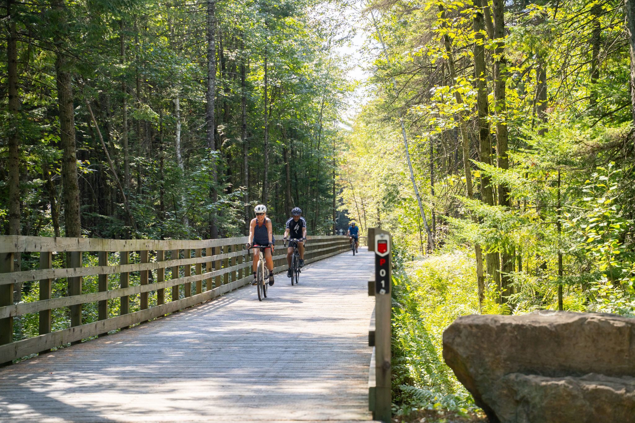
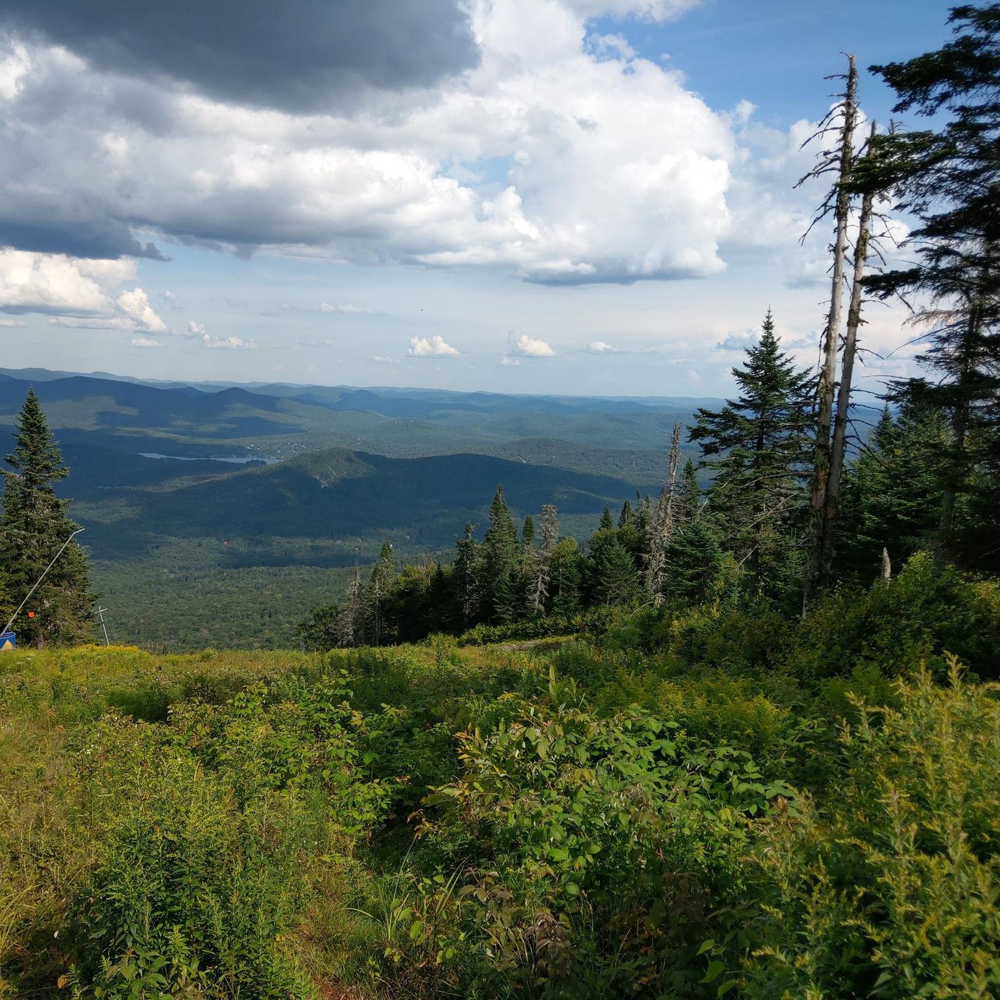
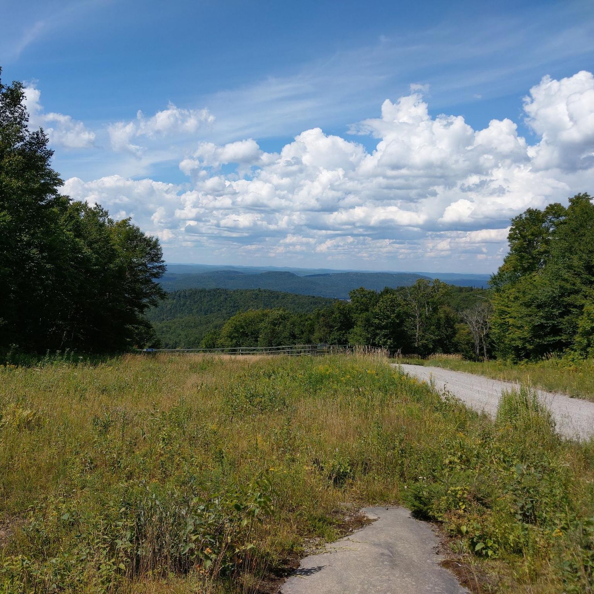
Gravel biking around Mont-Tremblant offers a diverse landscape characterized by dense forests, rolling hills, and numerous lakes and rivers. The region's terrain provides a mix of challenging climbs and scenic routes suitable for various skill levels. Gravel bike trails in Mont-Tremblant often follow old rail beds or forest service roads, providing a firm surface for exploration. This area is known for its natural beauty, with routes winding through river valleys and past picturesque viewpoints.
Best gravel bike trails around Mont-Tremblant
- The most popular gravel bike trail is Buddhist Monastery of Canada – Corridor Aérobique Bridge loop from Huberdeau, a 41.6 miles (66.9 km) trail that takes 4 hours 44 minutes to complete. This route features significant elevation gain and varied terrain.
- Another top favourite among local gravel bikers is Corridor Aérobique Bridge – Parc du Ruisseau-Beaven loop from Huberdeau, a difficult 36.8 miles (59.2 km) path. This route traverses forested areas and offers views of local waterways.
- Local gravel bikers also love the Diable River – Covered Bridge loop from Stationnement de la roche, a 58.0 miles (93.4 km) trail leading through river valleys and past historic covered bridges, often completed in about 8 hours 30 minutes.
- Gravel biking around Mont-Tremblant is defined by dense woodlands, river corridors, and rolling hills. The network offers options for easy gravel bike trails for beginners as well as advanced gravel bike routes for experienced riders.
- The routes in Mont-Tremblant are highly rated by the komoot community with an average score of 4.9 stars from more than 30 reviews. More than 180 gravel bikers have used komoot to explore Mont-Tremblant's varied terrain.
Last updated: July 3, 2026
4.9
(21)
88
riders
Hard gravel ride. Very good fitness required. Mostly paved surfaces. Suitable for all skill levels.
5.0
(10)
39
riders
56.8km
03:46
520m
520m
Hard gravel ride. Very good fitness required. Mostly paved surfaces. Suitable for all skill levels.

Sign up for free
5.0
(1)
6
riders
94.3km
07:15
920m
920m
Hard gravel ride. Very good fitness required. Mostly paved surfaces. Suitable for all skill levels.
5.0
(1)
6
riders
Hard gravel ride. Very good fitness required. Mostly paved surfaces. Suitable for all skill levels.
8
riders
13.7km
01:11
110m
110m
Easy gravel ride. Great for any fitness level. Mostly paved surfaces. Suitable for all skill levels.
Our route recommendations are based on thousands of hikes, rides, and runs completed by other people on komoot.
Start today with a free account
Your next adventure awaits.
Login or Signup
Other adventures around Mont-Tremblant

Tips from the Community

From this viewpoint you can get a clear view of Croches Falls, which drop through a narrow gorge in a series of cascades. The flow of the falls varies a lot and tends to be much stronger in spring, and lighter by late summer.
0
0
Here the trail leads over the rapids of Devil's River, and is about the halfway point to Croches Falls. The view here is especially scenic in fall, with the river surrounded by trees and their changing colours.
0
0
Chutes Croches Trail is a short but beautiful trail that leads you through a packed forest path, over a river, and ends with a view of Croches Falls. The trailhead begins at the parking area, but the lot is relatively small and fills up quickly on weekends and during fall colors. Since it's a short hike, there is a lot of turnover, so if there is no parking when you arrive, with a short wait, a space will usually open up. Since you've already paid Sépaq park entry fees for Parc national du Mont-Tremblant, there’s no additional charge for parking.
0
0

Such a beautiful trail with really nice views along the way. The scenery was worth every step, and the viewpoints made the hike even more memorable. I also shared a video of this hike on my YouTube channel for anyone who wants to see the trail and the views before going: https://youtu.be/oTj2kmppp4Q
0
0

This former railway station, built in 1924, testifies to the major role of the railway in local development, when the line to Mont-Laurier transformed the small community into an important railway depot.
0
0

Rest area or parking area at the train station
6
0

Beautiful station with all the necessary services
1
0
Nice free museum, rest area and toilet. Don't forget to visit the waterfall
1
0
Frequently Asked Questions
How many gravel bike trails are available in Mont-Tremblant?
There are 8 distinct gravel bike routes around Mont-Tremblant featured in this guide, offering a variety of experiences for different skill levels.
Are there any easy gravel bike trails for beginners or families?
Yes, Mont-Tremblant offers options for less experienced riders. The Gravel loop from La Corniche is an easy 13.2 km route, perfect for beginners or a relaxed family outing.
What are the typical distances and durations for gravel bike routes in Mont-Tremblant?
Route distances vary significantly, from shorter loops like the 13.2 km Gravel loop from La Corniche (around 1 hour 18 minutes) to longer, more challenging rides such as the 104.5 km Labelle Train Station and Museum – Labelle Train Station loop from Labelle, which can take over 9 hours.
What kind of terrain can I expect on Mont-Tremblant's gravel trails?
Mont-Tremblant's gravel trails are characterized by dense forests, rolling hills, and routes that often follow old rail beds or forest service roads. You'll encounter a mix of firm surfaces, varied elevation, and scenic passages through river valleys and past lakes.
Are there any circular gravel bike routes in the Mont-Tremblant area?
Many of the gravel routes in Mont-Tremblant are designed as loops. For example, the Labelle Train Station and Museum – Labelle Train Station loop from Labelle offers a substantial circular ride, and the Gravel loop from La Corniche is a shorter, easier loop option.
What are some scenic highlights or points of interest along the gravel bike trails?
The region is rich in natural beauty and historical sites. Along your rides, you might pass by Lake Mercier, or discover historical points like the Labelle Train Station and Museum. Many routes also feature picturesque river valleys and covered bridges.
What do other gravel bikers say about the trails in Mont-Tremblant?
The gravel biking routes around Mont-Tremblant are highly regarded by the komoot community, holding an average rating of 4.9 stars from over 30 reviews. Riders frequently praise the diverse terrain, the natural beauty of the dense woodlands, and the well-maintained paths that offer both challenging climbs and scenic views.
Are there any advanced or challenging gravel bike routes in Mont-Tremblant?
Yes, Mont-Tremblant offers several challenging routes for experienced riders. The Labelle Train Station and Museum – Labelle Train Station loop from Labelle is a difficult 104.5 km route with significant elevation gain, providing a demanding experience.
When is the best time of year to go gravel biking in Mont-Tremblant?
The best time for gravel biking in Mont-Tremblant is typically from late spring through early autumn (May to October), when the weather is mild, and the trails are dry and clear of snow. This period offers vibrant foliage and comfortable riding conditions.
Where can I find parking for Mont-Tremblant gravel trails?
Many routes start from accessible points, often near towns or designated trailheads. For instance, the Diable River – Covered Bridge loop starts from Stationnement de la roche, indicating specific parking availability at the trailhead.
Are there any routes that follow old rail beds or offer a historical context?
Yes, many gravel trails in Mont-Tremblant utilize old rail beds, providing relatively flat and consistent surfaces. The Labelle Train Station and Museum – Labelle Train Station loop from Labelle, for example, connects to a historical train station and museum, offering a glimpse into the region's past.
Most popular routes around Mont-Tremblant
Most popular attractions around Mont-Tremblant

Get inspired with the komoot mobile app


Explore more
Browse the best Gravel rides in other regions.
