The best gravel rides around Delta
4.7
(23)
362
riders
8
rides
Gravel biking around Delta offers a diverse landscape for riders, from flat agricultural plains and coastal dikes to rolling forested hills and mountainous terrains. The region features extensive networks of unpaved roads and trails, including unique geological formations like Crowley's Ridge and the world's largest flat-topped mountain, Grand Mesa. Riders can explore ancient cypress forests, river valleys, and desert lowlands, providing varied surfaces and elevations. These routes often traverse areas rich in wildlife and offer scenic views of rivers and canyons.
Best gravel bike trails around Delta
- The most popular gravel bike trail is Halfway Hairpin – Seymour Lake Gazebo loop from Lougheed Town Centre, a 46.5 miles (74.8 km) trail that takes 6 hours 36 minutes to complete. This route features significant elevation gain, making it a challenging option for experienced riders.
- Another top favourite among local gravel bikers is Mud Bay Park – Boundary Bay Gravel Path loop from Watershed Park, a moderate 32.3 miles (52.0 km) path. This route offers a mix of gravel paths and scenic views, ideal for a longer day out.
- Local gravel bikers also love the Delta Heritage Air Park – Mud Bay Park loop from 1 Ave (WB) at 50 St, a 31.0 miles (49.9 km) trail leading through coastal areas and parks, often completed in about 4 hours 9 minutes.
- Gravel biking around Delta is defined by coastal dikes, forested hills, and river valleys. The network offers options for different ability levels, from relatively flat rides to more challenging routes with varied terrain.
- The routes in Delta are highly rated by the komoot community with an average score of 4.8 stars from over 30 reviews. More than 400 gravel bikers have used komoot to explore Delta's varied terrain.
Last updated: August 13, 2026
5.0
(9)
134
riders
74.9km
04:40
960m
960m
Hard gravel ride. Very good fitness required. You may need to push your bike for some segments of this route.
4.9
(7)
64
riders
52.0km
02:36
130m
130m
Moderate gravel ride. Good fitness required. Mostly paved surfaces. Suitable for all skill levels.

Sign up for free
5.0
(6)
52
riders
49.2km
02:27
110m
110m
Moderate gravel ride. Good fitness required. Mostly paved surfaces. Suitable for all skill levels.
26
riders
67.4km
03:17
140m
150m
Moderate gravel ride. Good fitness required. Mostly paved surfaces. Suitable for all skill levels.
10
riders
Easy gravel ride. Great for any fitness level. Mostly paved surfaces. Suitable for all skill levels.
Get access to more routes and recommendations from other explorers.
Sign up for free
Already have an account?
Our route recommendations are based on thousands of hikes, rides, and runs completed by other people on komoot.
Start today with a free account
Your next adventure awaits.
Login or Signup

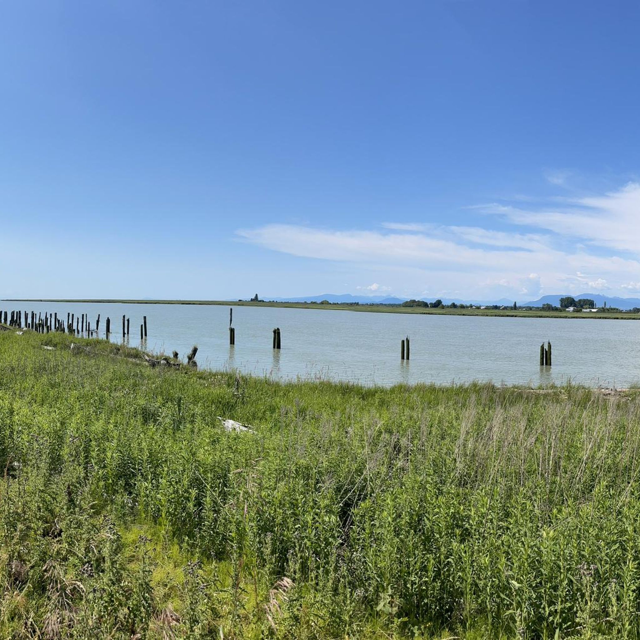
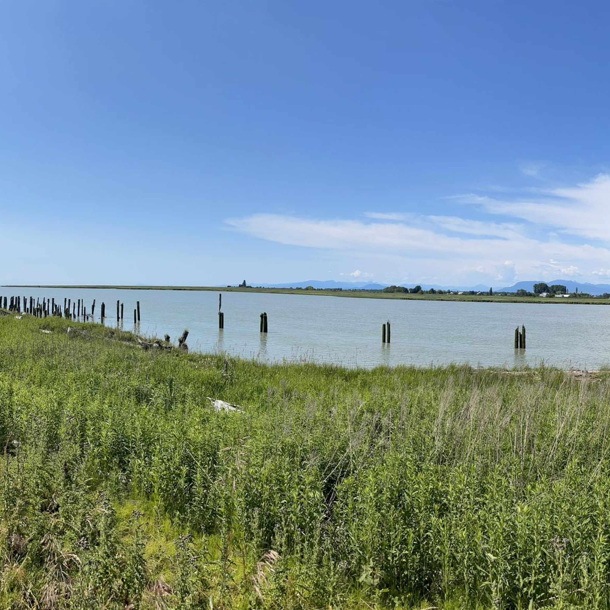
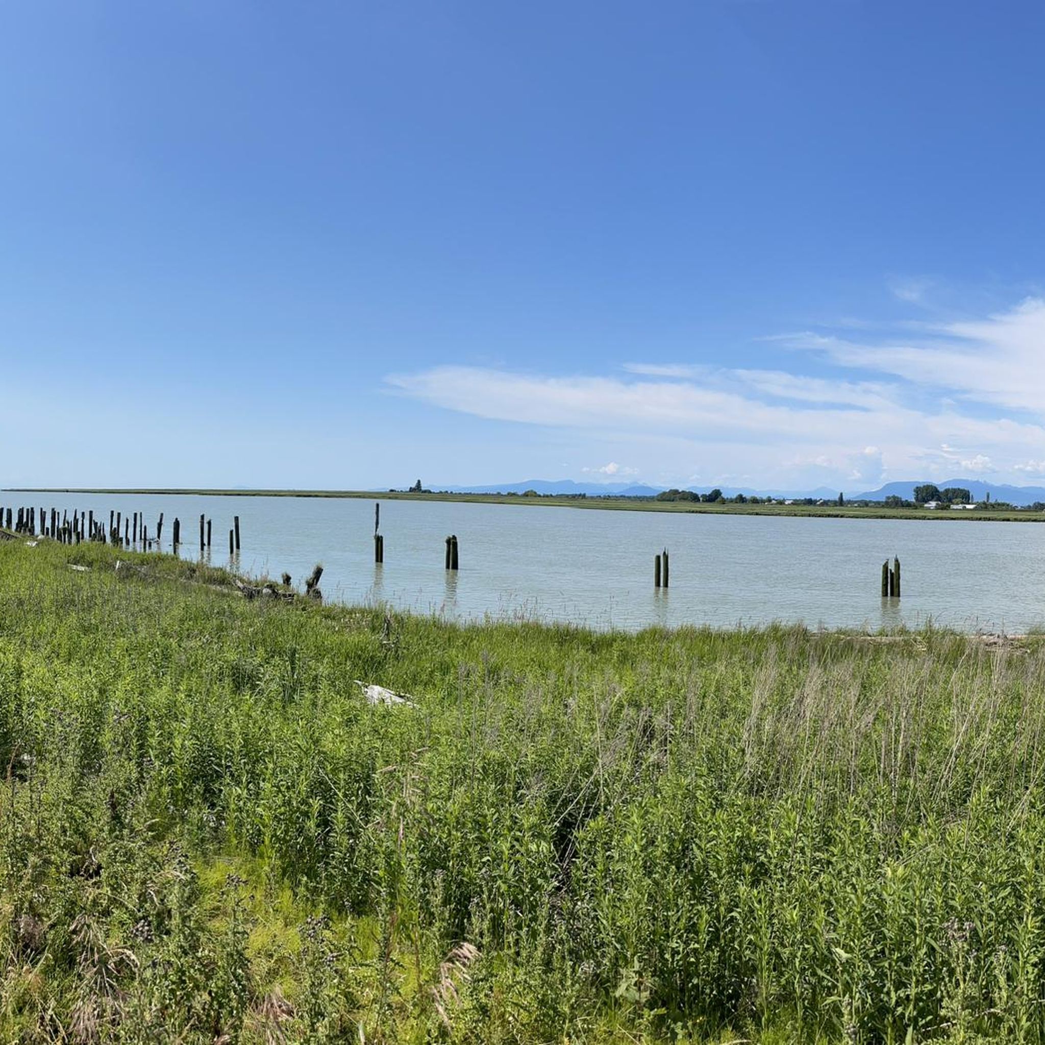
Other adventures around Delta

Tips from the Community

So need to use a gravel bike ? Would it be too challenge with road bike?
0
0

Boundary Bay Wildlife Management Area protects a vast stretch of intertidal mudflats, salt marsh, and eelgrass habitat along Boundary Bay. The area supports large numbers of migratory shorebirds and waterfowl, making it one of the most important bird habitats on Canada’s Pacific coast. Its accessible trails, consistent bird activity, and ever-changing tidal scenery make it an especially rewarding place to explore on foot or by bike.
0
0
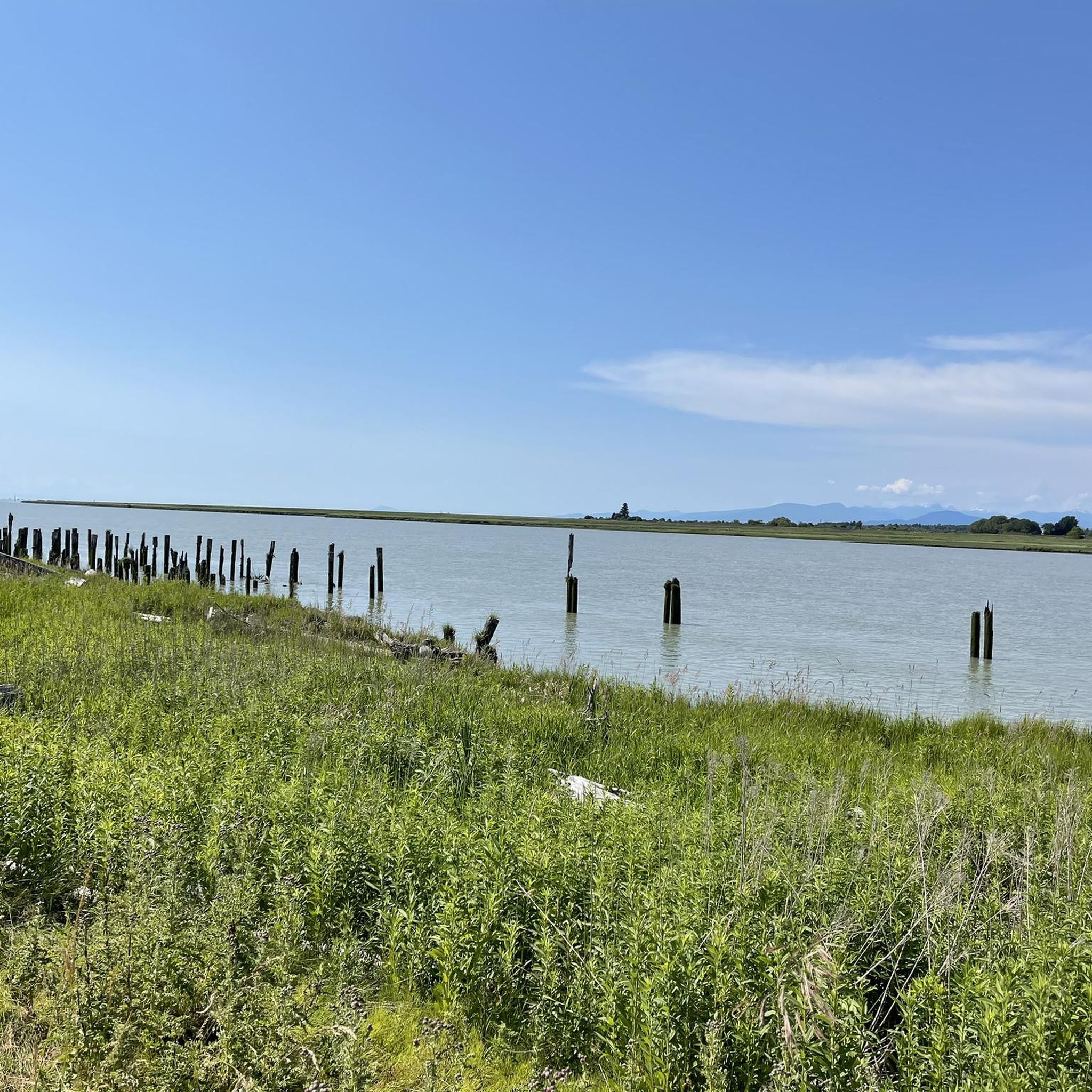
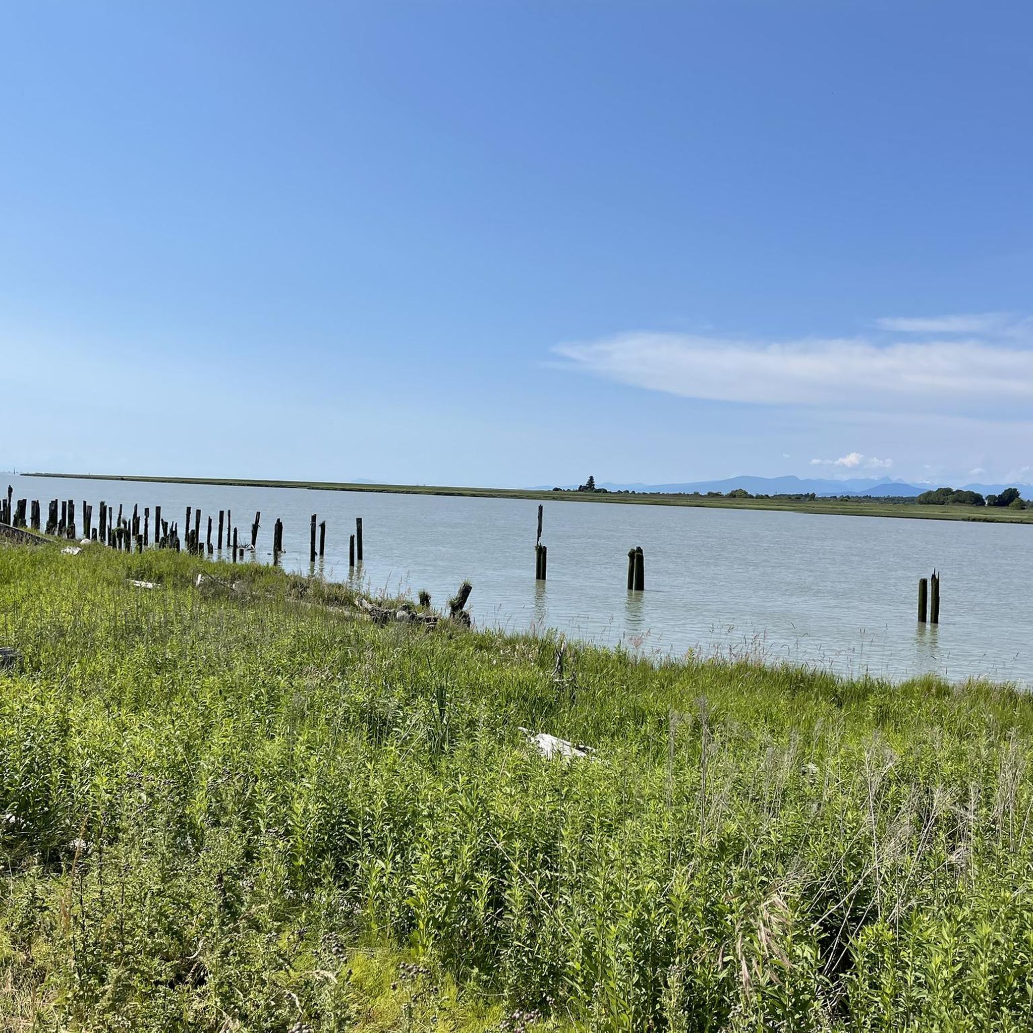
Boundary Bay Dyke Trail is a long, flat route along the shoreline, with uninterrupted views across mudflats and the open water. Its wide gravel surface is ideal for walking and cycling, with plenty of benches and access points along the way. Set along a major migratory route, the trail is especially known for birdlife and beautiful, expansive coastal scenery.
1
0

Smooth gravel. Beautiful views of Boundary Bay and Mount Baker.
0
0

The Seymour River Suspension Bridge was completed and opened in December 2018. This made it possible to walk the Fisherman's Trail (North) all the way through again. After the former Twin Bridges had to be demolished in 2014 following a rockslide and damming of the Seymour River, there was no longer a crossing at this point in the Lower Seymour Conservation Reserve. The Twin Bridges were originally built in 1908 to carry pipelines and were later supplemented by a parallel pedestrian bridge. Years later, the two bridges were combined to form one bridge. https://www.vancouvertrails.com/blog/seymour-river-suspension-bridge/
2
0
Check the wind forecast and plan your ride accordingly.
0
0

Deas Island Regional Park is a tranquil 300-acre green space situated along the Fraser River in Delta, BC. Located at 6090 Deas Island Road, the park is easily accessible from Vancouver via Highway 99 and the George Massey Tunnel. It offers approximately 7.6 km (4.7 miles) of easy, flat trails suitable for walking, cycling, and horseback riding. Popular trails include the Tinmaker’s Walk, Riverside Walk, and Island Tip Trail, which provide scenic views of the river and surrounding nature. The park is open daily from 7 a.m. to 10 p.m. during the summer months, with varying closing times in winter. Dogs are welcome on-leash. Vancouver Trails +2
1
0
Early Industry: Oyster harvesting and shucking have been part of BC's coastal history since the late 19th century, initially focusing on the native Olympia oyster. Pacific Oyster Introduction: The introduction of the larger Pacific oyster in the early 20th century spurred the growth of the industry, leading to the establishment of dedicated shucking plants. Delta Example: One early significant plant was the BC Packers Limited shucking plant in Delta, operating from 1941 until its closure due to pollution in 1963. This plant processed both local and oysters from other BC farms. Hand Shucking: Traditionally, oyster shucking in BC was done entirely by hand, a labor-intensive process under strict sanitary regulations.
0
0
Frequently Asked Questions
How many gravel bike trails are available around Delta?
There are over 15 gravel bike trails around Delta, offering a variety of experiences for different skill levels. You'll find everything from relatively flat dike paths to more challenging routes with significant elevation changes.
What types of terrain can I expect on gravel bike trails in Delta?
Delta's gravel biking terrain is incredibly diverse. You can expect to ride on flat agricultural plains, coastal dikes, rolling forested hills, and even mountainous areas. Regions like the Arkansas Delta feature unique geological formations such as Crowley's Ridge, while Delta, BC, is known for its scenic gravel dikes. Delta County, Colorado, offers rugged mountain and plateau landscapes, including access to Grand Mesa.
Are there any family-friendly gravel biking routes in Delta?
Yes, Delta offers several options suitable for families. The gravel dikes in Delta, British Columbia, provide relatively flat and accessible rides, perfect for all skill levels. These paths offer an immersive experience in the area's natural beauty without overly challenging terrain.
Can I bring my dog on the gravel bike trails in Delta?
While many outdoor areas in Delta are dog-friendly, it's always best to check local regulations for specific trails or parks. Generally, dikes and wider gravel paths are more accommodating for dogs, especially if kept on a leash. Always ensure you clean up after your pet.
What are some scenic highlights or natural attractions I can see along the gravel routes?
The Delta region is rich in natural beauty. In Delta, BC, you can enjoy views of large flocks of Snow Geese, Great Blue Herons, and Bald Eagles, especially along routes near Mud Bay Park and Boundary Bay. Delta County, Colorado, offers stunning views of canyons along roads like 25 Mesa Rd and Escalante Canyon Road. You might also encounter highlights like Centennial Beach or the Sturgeon Bank Wildlife Management Area.
Are there any long-distance or challenging gravel routes for experienced riders?
Absolutely. For experienced riders seeking a challenge, the Halfway Hairpin – Seymour Lake Gazebo loop from Lougheed Town Centre is a difficult 46.5-mile (74.8 km) trail with significant elevation gain. In the Arkansas Delta, the roughly 250-mile gravel trail along Crowley's Ridge also provides a substantial long-distance option.
What is the best time of year to go gravel biking in Delta?
The best time to go gravel biking in Delta varies by region. Delta County, Colorado, enjoys a moderate climate, making it suitable for outdoor adventures, with higher elevations offering cooler rides in summer. In the Arkansas Delta, spring and fall often provide pleasant temperatures. For Delta, BC, the milder coastal climate generally allows for riding through much of the year, though checking local weather is always recommended.
Are there any circular gravel biking routes in Delta?
Yes, many gravel routes in Delta are designed as loops. A popular moderate option in Delta, BC, is the Mud Bay Park – Boundary Bay Gravel Path loop from Watershed Park, which offers a mix of gravel paths and scenic views over 32.3 miles (52.0 km). Another is the Delta Heritage Air Park – Mud Bay Park loop from 1 Ave (WB) at 50 St, covering 31.0 miles (49.9 km) through coastal areas.
Where can I find parking for gravel bike trails in Delta?
Parking availability varies by specific trailheads. For routes in Delta, British Columbia, areas around parks like Watershed Park or access points to the dikes often have designated parking. In Delta County, Colorado, trailheads for routes like Escalante Canyon Road or Peach Valley Road typically have parking areas. It's advisable to check specific route details or local park websites for precise parking information.
What do other gravel bikers enjoy most about gravel biking in Delta?
The gravel biking experience in Delta is highly rated by the komoot community, with an average score of 4.8 stars from over 30 reviews. Riders often praise the diverse landscapes, from coastal dikes and forested hills to river valleys, and the variety of routes suitable for different ability levels. The scenic views and opportunities for wildlife spotting are also frequently highlighted.
Are there any cafes or places to eat near the gravel trails?
While specific cafes directly on remote gravel trails might be limited, many routes pass through or near communities where you can find dining options. In Delta, BC, routes often connect to towns like Ladner or Tsawwassen, offering cafes and pubs. In the Arkansas Delta, the 250-mile Crowley's Ridge trail links 18 communities, providing opportunities for refreshments. It's a good idea to plan your stops in advance, especially on longer rides.
Are there any routes that offer views of the Mississippi River?
Yes, in the Arkansas Delta, you can find gravel biking routes along the Mississippi River Levee. These paths provide unique views of the mighty Mississippi River, offering a distinct experience compared to the forested hills or coastal dikes found in other Delta regions.
Most popular attractions around Delta

Get inspired with the komoot mobile app


Explore more
Browse the best Gravel rides in other regions.
