The best gravel rides in Boise County
4.0
(1)
67
riders
2
rides
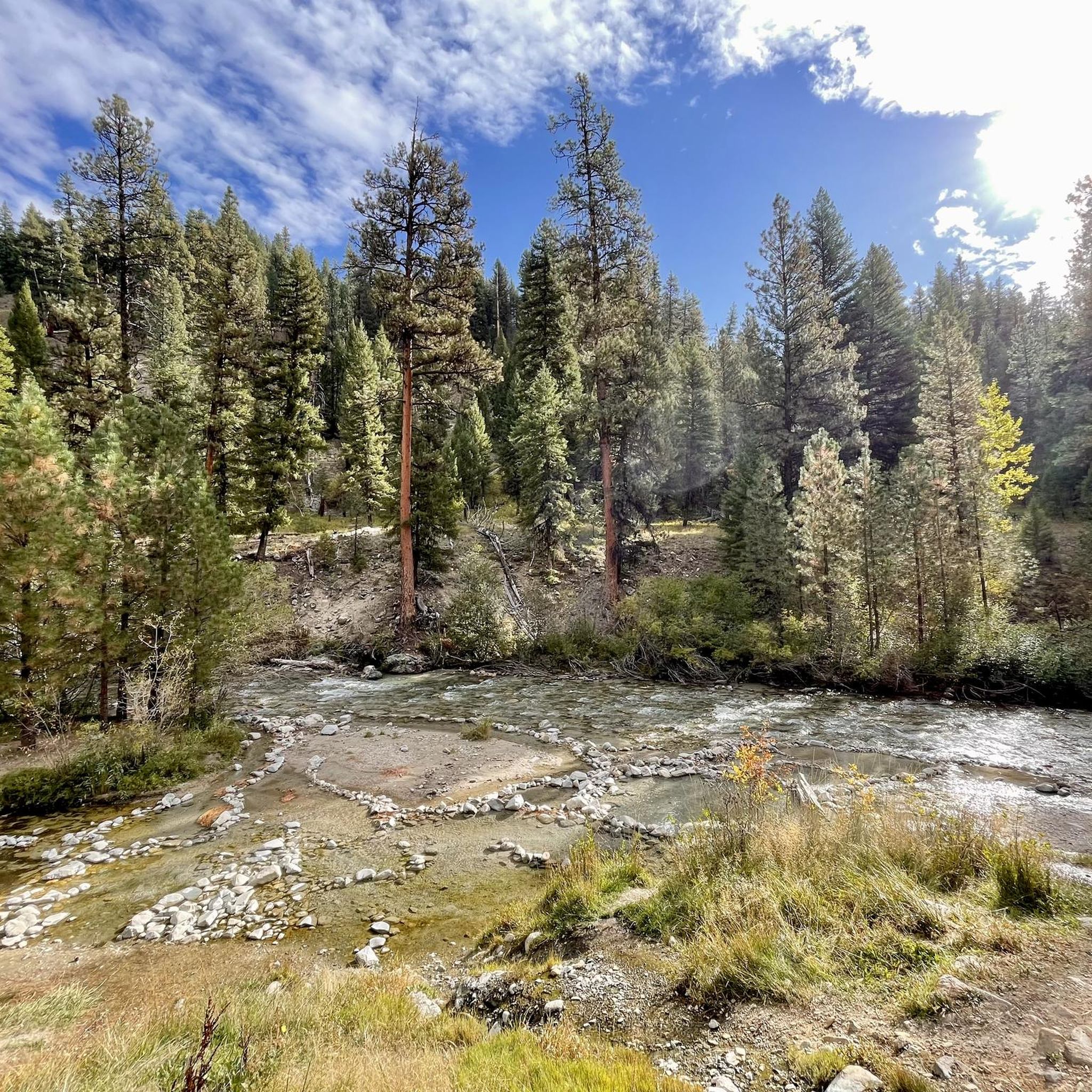
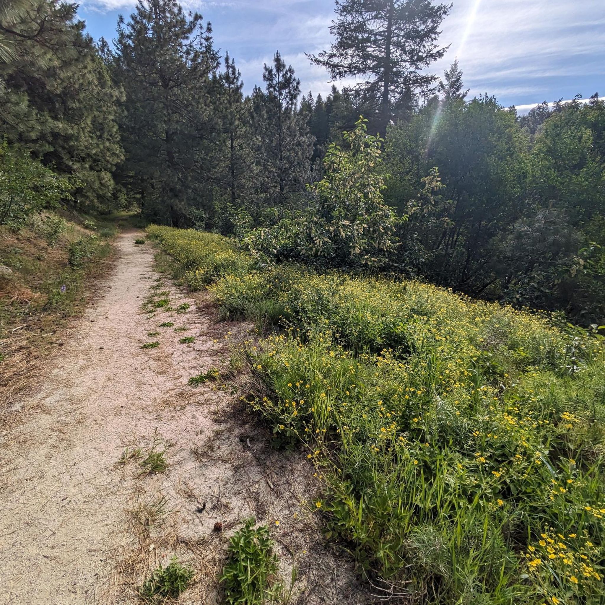
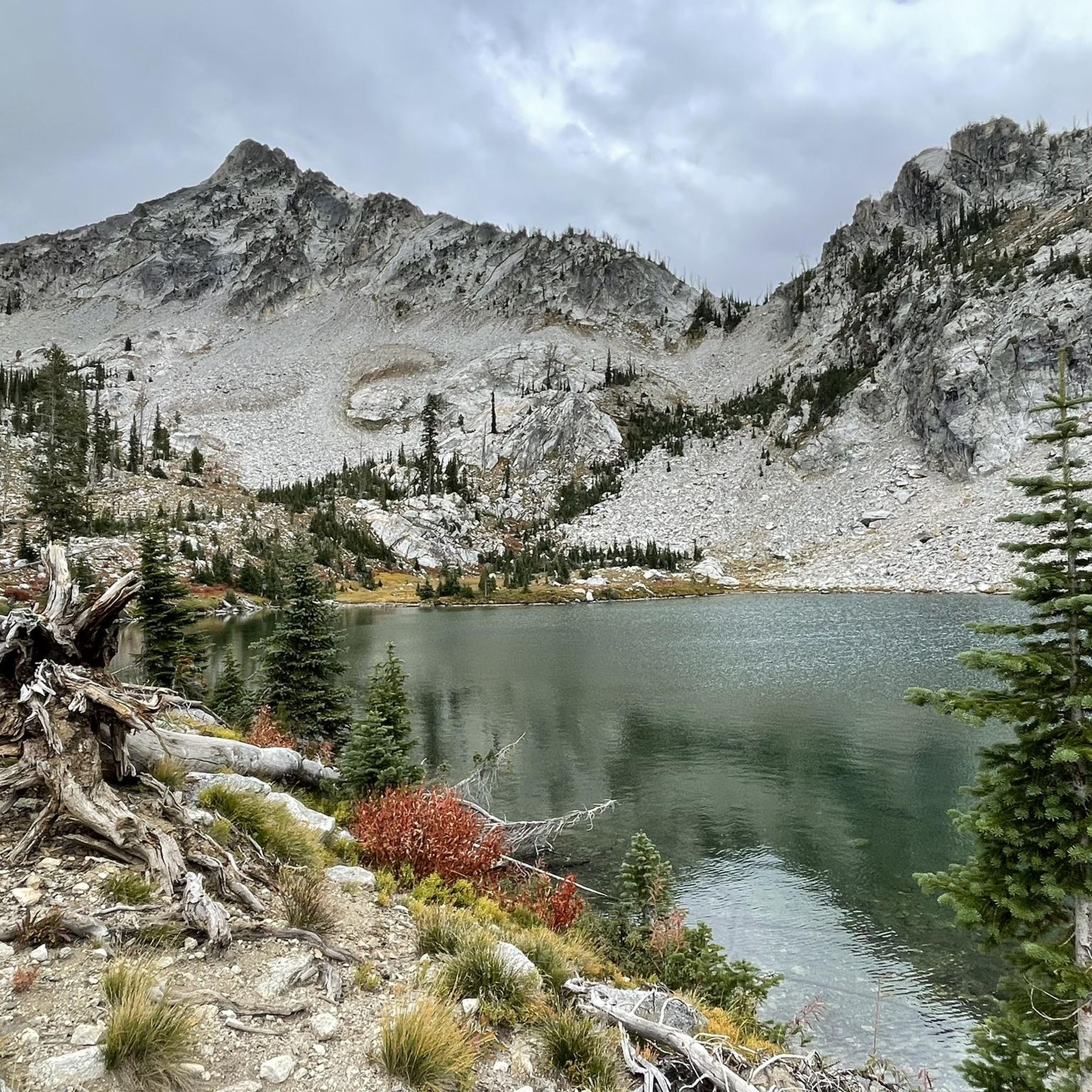
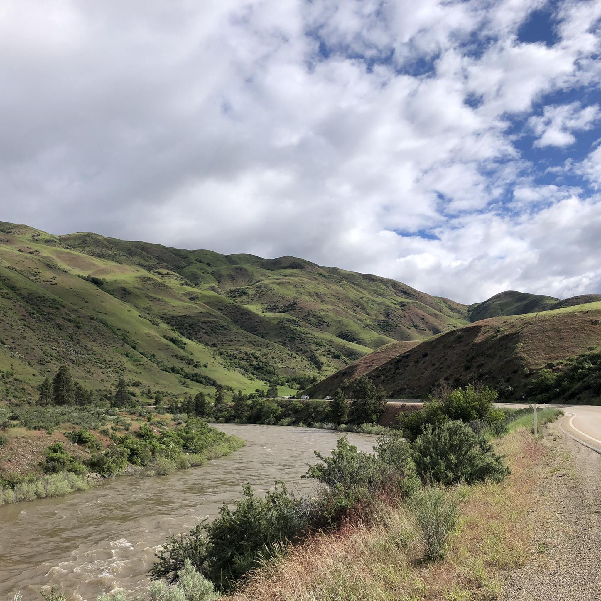
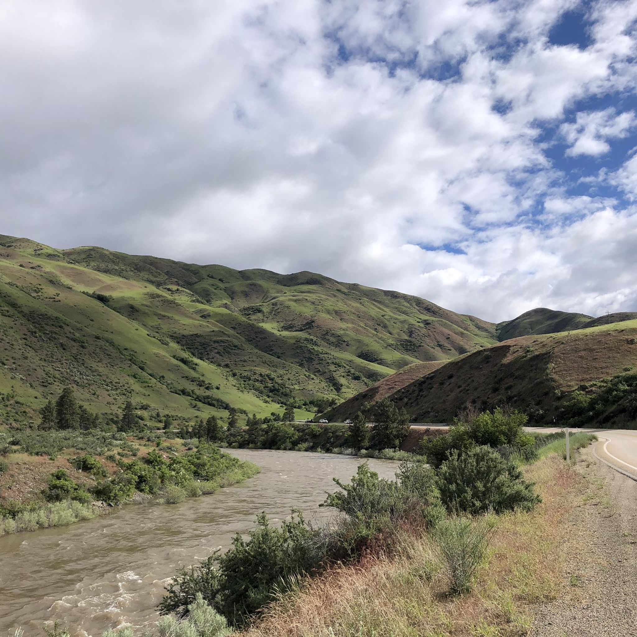
Gravel biking in Boise County, Idaho, is characterized by rugged mountain landscapes, extensive forest lands, and a network of unpaved roads connecting historic communities. Much of the county lies within the vast Boise National Forest, featuring diverse forest and grassland with elevations ranging from 2,800 feet to nearly 10,000 feet. The topography varies significantly, offering a diverse range of ecosystems suitable for gravel biking. These unpaved roads provide varied terrain and scenic routes for cyclists.
Best gravel bike trails in…
Last updated: August 21, 2026
18
riders
125km
08:03
1,900m
1,900m
Hard gravel ride. Very good fitness required. Mostly paved surfaces. Suitable for all skill levels.
4.0
(1)
8
riders
60.6km
05:24
1,720m
1,720m
Hard gravel ride. Very good fitness required. Mostly paved surfaces. Suitable for all skill levels.

Sign up for free
4
riders
132km
11:48
2,400m
2,400m
Hard gravel ride. Very good fitness required. Mostly paved surfaces. Suitable for all skill levels.
11
riders
85.1km
04:59
1,110m
1,110m
Hard gravel ride. Very good fitness required. Mostly paved surfaces. Suitable for all skill levels.
4
riders
117km
09:00
2,470m
2,470m
Hard gravel ride. Very good fitness required. Mostly paved surfaces. Suitable for all skill levels.
3
riders
47.5km
03:23
700m
700m
Hard gravel ride. Very good fitness required. Mostly paved surfaces. Suitable for all skill levels.
Our route recommendations are based on thousands of hikes, rides, and runs completed by other people on komoot.
Start today with a free account
Your next adventure awaits.
Login or Signup
Tips from the Community

Alternate route down away from the Byway. Open Road, Low Traffic, beware of potholes!
1
0

Arrowrock Dam, situated on the Boise River in southwestern Idaho, is a concrete arch dam in the western United States. Constructed over a century ago in 1915, it straddles the border between Boise and Elmore counties, serving as a vital water source for irrigation in the region. The road here is compact dirt.
0
0

The Ponderosa Pine Scenic Route is a 131-mile route that connects Highway 21 with the cities of Boise and Idaho City. This route travels through a mixture of terrain, including mountain roads, woodlands, and some lush forested landscapes. Here, near Lucky Peak Reservoir, the route gives way to arid foothills and scenic river views, along with dramatic vistas of the Lucky Peak Reservoir itself. This is a stunning byway to do on a bicycle.
1
0
This is a perfect overlook to look out over Lucky Peak Reservoir. There is plenty of room for parking, and there are picnic benches dotted around the place for a more relaxing time of things. The reservoir sure is in a tranquil setting, and the surrounding high hills make this a dramatic overlook.
1
0
This is Mores Creek Lucky Peak Bridge, where the Ponderosa Pine Scenic Route crosses Mores Creek just before the creek enters the Boise River at Lady Peak Reservoir. There is no hard shoulder, just one lane in each direction, so there is no stopping. The views here are quite dramatic over the side rails over the bridge, as Mores Creek has carved out quite a deep canyon by now, and the surrounding hills just emphasize this dramatic landscape.
0
0

The Spring Valley Summit is a 4,242-foot mountain pass along the Payette River Scenic Byway, also known as State Highway 55.
0
0

Bogus Basin is overseen by the non-profit organization Bogus Basin Recreation Association. In the summer, visitors can go mountain biking and go gravel riding, and in the winter, there is skiing and snowboarding.
0
0
This 292-acre reserve packs a lot into a small space. There are trails with views of the city of Boise as well as trails with views of the scenic Hull's Gulch.
1
0
Frequently Asked Questions
What kind of terrain can I expect on gravel bike trails in Boise County?
Boise County's gravel bike trails are characterized by rugged mountain landscapes and extensive forest lands, primarily within the Boise National Forest. You'll encounter a diverse range of ecosystems, from lower elevation areas to nearly 10,000 feet at Trinity Mountain. The routes often feature unpaved roads, forest roads, and challenging climbs with significant elevation gain, offering varied terrain suitable for adventurous gravel cyclists.
Are there challenging routes for experienced gravel bikers in Boise County?
Yes, Boise County offers several challenging routes for experienced gravel bikers. For instance, the Treasure View Terrace – The Descent loop from Ridge to Rivers Seamans Gulch Parking is a difficult 78.1-mile trail with over 6,200 feet of elevation gain. Another demanding option is the Spring Valley Summit – The Descent loop from Regan Butte, a 45-mile path with over 3,900 feet of climbing, offering expansive views and demanding ascents.
Are there any circular gravel bike routes in Boise County?
Many of the gravel routes in Boise County are designed as loops, allowing you to start and end at the same point. Examples include the challenging Treasure View Terrace – The Descent loop from Ridge to Rivers Seamans Gulch Parking and the Hulls Gulch Reserve – Bogus Basin loop from Boise. These circular routes provide a convenient way to explore the diverse landscapes without retracing your steps.
What natural features or viewpoints can I see along the gravel routes?
Boise County's gravel routes often lead through the scenic Boise National Forest and offer glimpses of the Sawtooth Wilderness. You might encounter river canyons, high desert landscapes, and alpine environments. Specific highlights include Stargaze Point for panoramic views, or the View of Lucky Peak Lake. The region is also home to several beautiful lakes, such as Lower Trail Creek Lake and Baron Lake & Upper Baron Lake.
Are there any hot springs accessible from gravel routes in Boise County?
Yes, Boise County is known for its natural hot springs. While not directly on every gravel route, Idaho City, the county seat, is a gateway to hot springs like The Springs. Further into the Boise National Forest, you can find Kirkham Hot Springs near Lowman. The Bonneville Hot Springs is also a notable natural monument in the area.
When is the best time of year to go gravel biking in Boise County?
The best time for gravel biking in Boise County is generally during the warmer months, from late spring through early fall. The diverse topography means conditions can vary; lower elevations are accessible earlier and later in the season, while higher mountain regions, especially within the Boise National Forest, are best enjoyed once snow has melted, typically from late May to October. Winter riding can be challenging due to snow and ice at higher altitudes.
Where can I park my car when gravel biking in Boise County?
Many gravel routes in Boise County start from designated parking areas, especially near trailheads or communities. For routes originating closer to the Boise area, parking is often available at spots like Ridge to Rivers Seamans Gulch Parking. When exploring more remote forest roads, look for established pull-offs or designated recreation sites, always ensuring you park legally and safely.
Are there places to eat or stay near the gravel bike trails?
Boise County has several historic communities like Idaho City, Lowman, Garden Valley, and Horseshoe Bend that offer amenities. Idaho City, as the county seat, provides options for dining and accommodation. For those venturing deeper into the Boise National Forest, there are campgrounds such as Bonneville Campground, offering places to stay closer to nature.
What do other gravel bikers say about the routes in Boise County?
The gravel routes in Boise County are highly rated by the komoot community, with an average score of 4.0 stars from 1 review. Over 60 gravel bikers have used komoot to explore the varied terrain, often praising the rugged mountain landscapes, extensive forest lands, and the network of unpaved roads that connect historic communities, offering a sense of remote adventure.
Are there any moderate gravel biking options in Boise County?
While many routes are rated difficult due to the mountainous terrain, there are moderate options available. For example, the Hulls Gulch Reserve – Nice foothills climb loop from Highlands is a moderate 15.6-mile route with about 1,170 feet of elevation gain, offering a less strenuous but still rewarding experience through the foothills.
How long are the gravel bike trails in Boise County?
The gravel bike trails in Boise County vary significantly in length. You can find shorter loops, such as the 15.6-mile Hulls Gulch Reserve – Nice foothills climb loop from Highlands, which takes around 3 hours 50 minutes. Longer, more challenging routes like the Treasure View Terrace – The Descent loop from Ridge to Rivers Seamans Gulch Parking can extend to 78.1 miles and take over 8 hours to complete, catering to a wide range of endurance levels.
Most popular routes in Boise County
Most popular attractions in Boise County

Get inspired with the komoot mobile app


Explore more
Browse the best Gravel rides in other regions.
