The best gravel rides in San Bernardino County
4.8
(10)
93
riders
19
rides
Gravel biking in San Bernardino County offers a diverse range of terrain, from arid desert landscapes to alpine forests within the San Bernardino Mountains. The region features an extensive network of unpaved roads, fire roads, and truck trails suitable for gravel bikes. Riders can navigate varied surfaces, including sandy sections in canyons and more forested routes in higher elevations. This geographical diversity provides a wide array of landscapes for gravel cycling.
Best gravel bike trails in San Bernardino County
- The most popular gravel bike trail is Watershed Loop, a 9.8 miles (15.8 km) trail that takes 1 hour 31 minutes to complete. This route offers a mix of terrain suitable for gravel bikes.
- Another top favourite among local gravel bikers is Four Corners – Telegraph Canyon Trail loop from Country Hills, a difficult 18.1 miles (29.2 km) path. This route features significant elevation changes and varied surfaces.
- Local gravel bikers also love the Queen Valley – Queen Valley Trails loop from Echo Cove South Face, a 24.3 miles (39.1 km) trail leading through varied landscapes, often completed in about 3 hours 8 minutes.
- Gravel biking in San Bernardino County is defined by mountain ranges, desert environments, and extensive unpaved road networks. The region offers routes for various fitness and skill levels, from challenging climbs to more moderate rides.
- The routes in San Bernardino County are highly rated by the komoot community with an average score of 4.6 stars from 6 reviews. More than 70 gravel bikers have used komoot to explore San Bernardino County's varied terrain.
Last updated: October 14, 2026
15.8km
01:31
170m
170m
The Watershed Loop is a difficult 9.8-mile gravel biking route in SARA Park, offering 544 feet of elevation gain over 1 hour and 31 minutes.
4.8
(5)
27
riders
Hard gravel ride. Very good fitness required. Mostly paved surfaces. Suitable for all skill levels.

10
riders
47.6km
04:40
1,020m
1,020m
Hard gravel ride. Very good fitness required. Mostly paved surfaces. Suitable for all skill levels.
5.0
(1)
11
riders
46.2km
04:26
980m
980m
Hard gravel ride. Very good fitness required. Mostly paved surfaces. Suitable for all skill levels.
5
riders
55.7km
04:29
1,060m
1,060m
Hard gravel ride. Very good fitness required. Mostly paved surfaces. Suitable for all skill levels.
4
riders
38.0km
02:43
270m
260m
Moderate gravel ride. Good fitness required. Mostly paved surfaces. Suitable for all skill levels.
5.0
(1)
5
riders
22.2km
01:23
130m
130m
Easy gravel ride. Great for any fitness level. Mostly paved surfaces. Suitable for all skill levels.
4.0
(1)
5
riders
Easy gravel ride. Great for any fitness level. Mostly paved surfaces. Suitable for all skill levels.
5.0
(1)
5
riders
45.1km
03:51
740m
740m
Hard gravel ride. Very good fitness required. Mostly paved surfaces. Suitable for all skill levels.
6
riders
57.5km
04:09
590m
600m
Hard gravel ride. Very good fitness required. Mostly paved surfaces. Suitable for all skill levels.
Get access to more routes and recommendations from other explorers.
Already have an account?
Our route recommendations are based on thousands of hikes, rides, and runs completed by other people on komoot.
Start today with a free account
Your next adventure awaits.
Popular around San Bernardino County
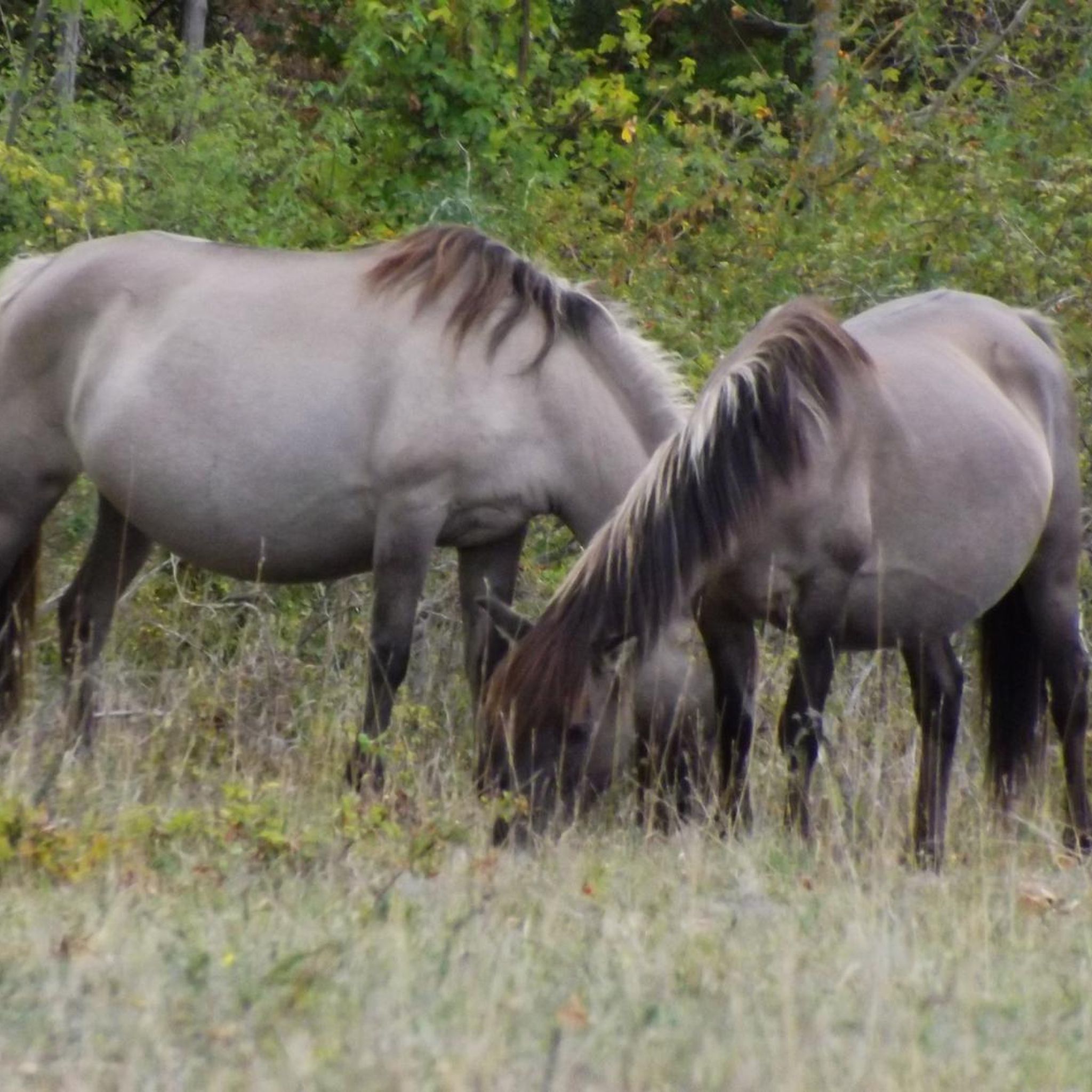
Gravel biking in Chino Hills State Park
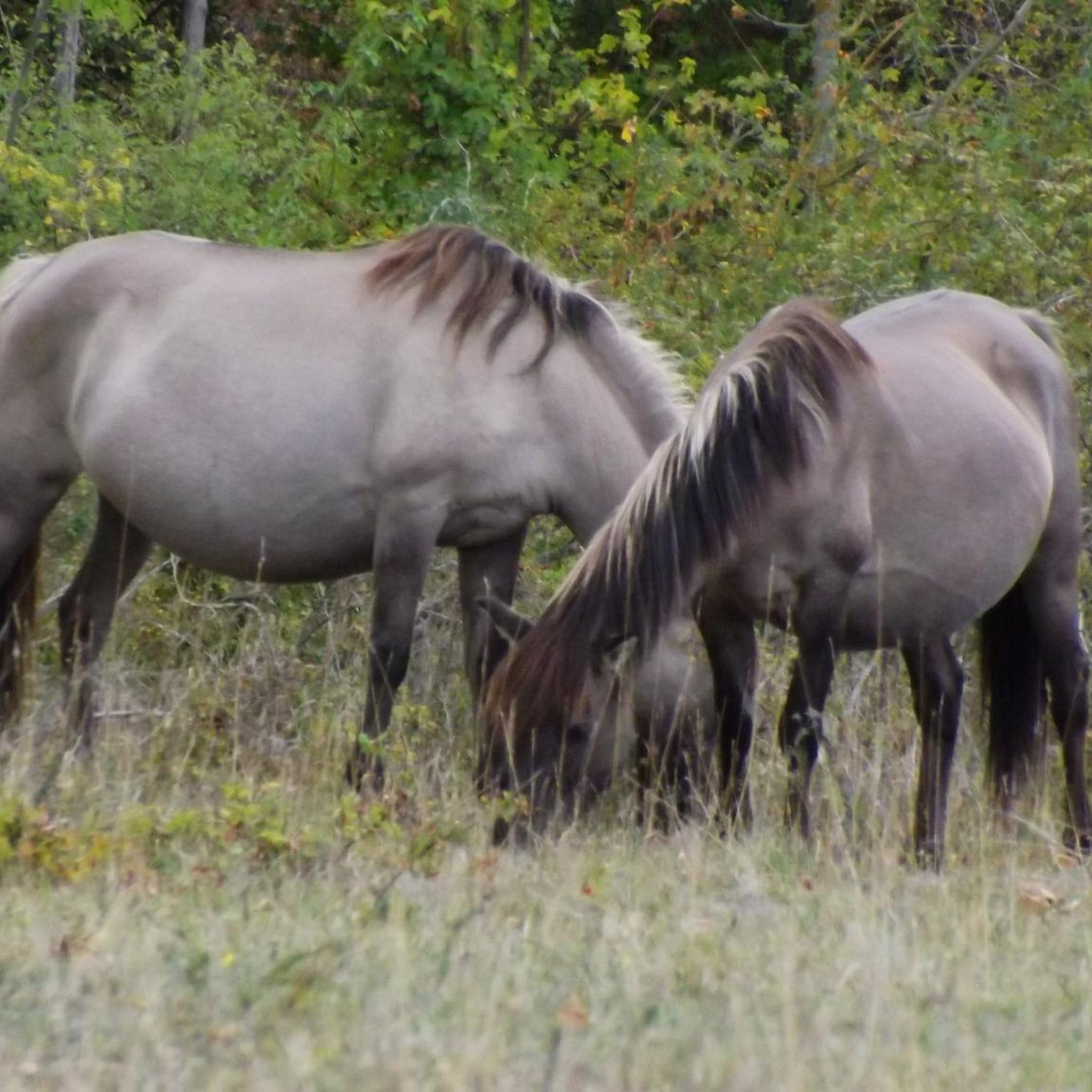
Gravel biking around Chino Hills
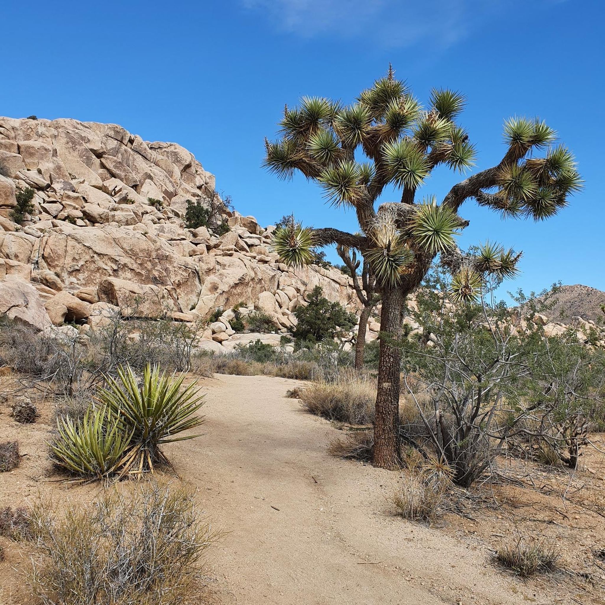
Gravel biking in the San Bernadino Mountains

Gravel biking around Chino

Gravel biking around Ontario

Bikepacking California — Into The Desert

Adventure Cycling Association's Bicycle Route 66 — LA to Chicago

Pacific Crest Trail from Mexico to Canada – 4,200 kilometres of wilderness
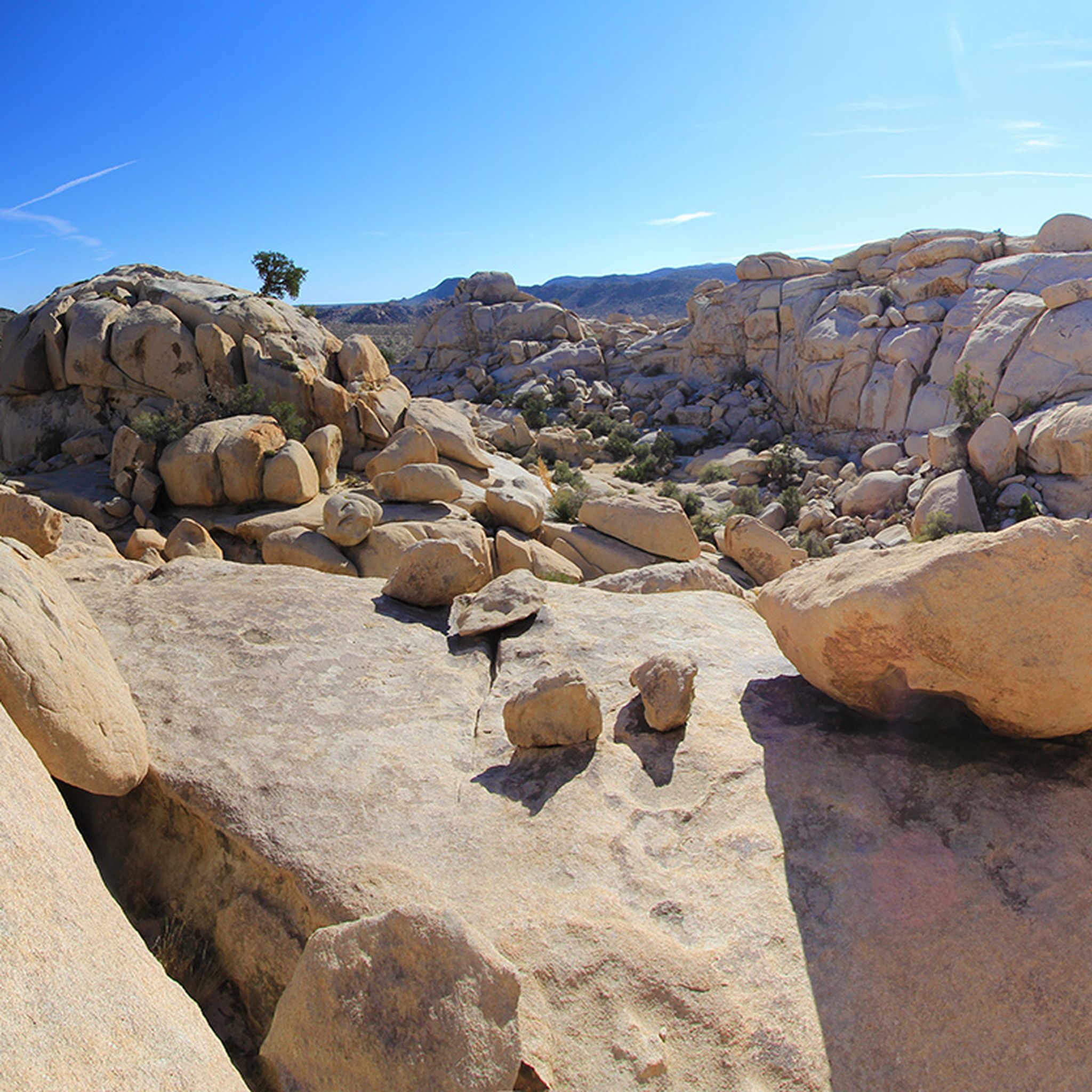
Hiking in San Bernardino County
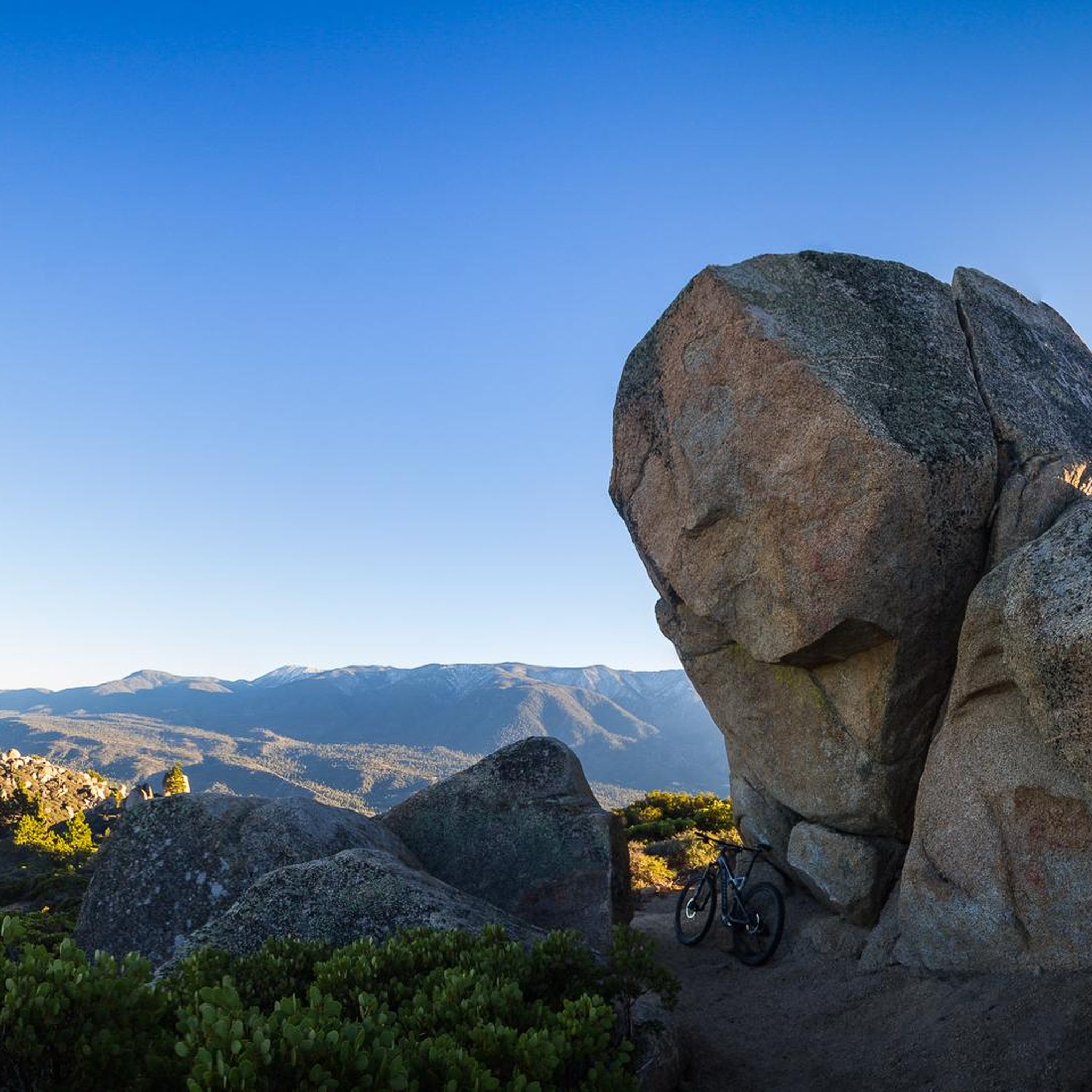
MTB Trails in San Bernardino County
Other adventures in San Bernardino County


Tips from the Community

It took us a while to find it, mainly because we didn't stick to the designated paths and explored the area at our own discretion.
0
0

This is the intersection of five trails: Raptor Ridge Trail, North Ridge Trail, Bovinian Delight Trail or Telegraph Canyon Road. There are also some boards with information about the trails and a restroom.
0
0

Queen Valley is remote and generally less busy that other parts in park since it's only accessible via dirt roads. However, if the dirt is an attraction for you rather than a deterrent you will be we rewarded. There are multiple hiking trails, back country camp sites and climbing spots in the valley, so pack well and enjoy.
0
0
From here you have the choice of a number of trails, most of which lead out to old mining sites. However, the unique and beautiful desert landscape is the main attraction.
0
0
Bighorn Pass Road is a great way to explore some less visited areas of the park. The dirt road connects with Queen Valley Road and Park Boulevard, so you've got plenty of options on where to go, just be sure to bring plenty of water as shade is scarce.
0
0

This view of Sierra Peak showcases one of the highest and most easily identifiable peaks in northern Orange County. It stands at 3,045 feet above sea level.
1
0
The Faultline Trail is a mix of dirt singletrack and fire road sections. There are some short, steep climbs and fast descents with loose gravel in places. It is a blue trail with a few sections that may challenge newer riders due to ruts, roots, and tight turns. This trail can get busy with runners and hikers on weekends as well.
1
0

Chimney Rock is a towering formation that resembles a natural chimney rising from the desert floor. This striking rock is surrounded by a landscape of massive boulders, sandy washes, and the park's namesake Joshua trees.
0
0
Frequently Asked Questions
How many gravel bike trails are available in San Bernardino County?
There are 17 gravel bike trails available on komoot in San Bernardino County. These routes offer a diverse range of terrain, from arid desert landscapes to alpine forests, catering to various skill levels.
What are some good options for beginner or easy gravel bike rides?
For those looking for an easier ride, komoot lists 3 easy gravel bike trails in San Bernardino County. A great option is the Carbon Canyon Regional Park – Telegraph Canyon Road loop from Carbon Canyon Regional Park, which is just under 8 miles (12.8 km) long and features moderate elevation changes.
Are there any challenging gravel bike trails for advanced riders in San Bernardino County?
Yes, San Bernardino County offers plenty of challenging routes for advanced gravel bikers, with 11 difficult trails listed on komoot. An example is the Four Corners – Telegraph Canyon Trail loop from Country Hills, which is 18.1 miles (29.2 km) long with significant elevation changes, providing a demanding experience.
What kind of landscapes can I expect to see while gravel biking in San Bernardino County?
San Bernardino County's gravel trails traverse incredibly diverse landscapes. You can expect everything from the arid desert environments, like those near Joshua Tree National Park, to the cooler, dense forests and alpine settings of the San Bernardino Mountains, including areas around Big Bear Lake and Lake Arrowhead. Many routes offer panoramic views of mountains, forests, and valleys.
Are there any circular gravel bike routes in San Bernardino County?
Yes, many gravel bike routes in San Bernardino County are designed as loops. For instance, the Watershed Loop is a popular 9.8-mile (15.8 km) circular trail offering varied terrain. Another option is the Queen Valley – Queen Valley Trails loop from Echo Cove South Face, which covers 24.3 miles (39.1 km) through diverse landscapes.
What do other gravel bikers enjoy most about the trails in San Bernardino County?
The gravel bike trails in San Bernardino County are highly rated by the komoot community, with an average score of 4.6 stars from 6 reviews. Riders often praise the region's diverse terrain, from challenging climbs to scenic, unpaved roads, and the breathtaking views of mountains, forests, and valleys.
What are some notable natural attractions or landmarks along these gravel routes?
Many gravel routes in San Bernardino County offer access to stunning natural attractions. You might encounter beautiful lakes like Big Bear Lake, with highlights such as Big Bear Lake access via Cougar Crest Trail or Awesome views of Big Bear Lake. Other natural features include Willow Hole and the serene Bluff Lake Reserve.
Are there any places to stay or rest along the gravel trails?
While specific cafes along trails are not detailed, San Bernardino County does offer various huts and cabins for rest or overnight stays, particularly in the mountain areas. Examples include the San Antonio Ski Hut, Kelly Camp, and Coon Creek Cabin. For a more social stay, there's also the ITH Big Bear Lake Hostel & Lodge.
What is the best time of year to go gravel biking in San Bernardino County?
San Bernardino County offers year-round gravel biking opportunities. While the higher mountain areas may experience snow in winter, many lower elevation routes remain accessible. Spring and fall generally provide the most pleasant temperatures for riding across the diverse landscapes, from deserts to forests.
Can I find routes that combine different types of terrain, like paved and unpaved sections?
Absolutely. Many gravel routes in San Bernardino County are known for their mix of surfaces. You'll find a combination of paved roads, unpaved fire roads, truck trails, and even some singletrack sections suitable for gravel bikes. This variety ensures a constantly engaging riding experience, transitioning between different environments.
Are there any routes that offer views of Silverwood Lake?
Yes, some gravel routes in the San Bernardino National Forest, particularly those around Pilot Rock Truck Trail and Cleghorn Pass, offer stunning views of Silverwood Lake. These trails provide a mix of grades and transition between desert and forest environments, often shared with off-road vehicles.
Are there any family-friendly gravel biking options in the area?
While specific 'family-friendly' designations are not always explicit, easier and shorter loop trails, especially those in regional parks or around lakes, can be suitable for families. Look for routes with minimal elevation gain and well-maintained surfaces. Always check the route details for distance and difficulty to ensure it matches your family's capabilities.
Where can I find more information about San Bernardino County's attractions?
For more general information about things to do and attractions across the county, you can visit the official San Bernardino County website: sbcounty.gov. This can help you plan other activities around your gravel biking adventures.
Most popular routes in San Bernardino County
Most popular attractions in San Bernardino County

Get inspired with the komoot mobile app


Didn’t find what you were looking for?
Check out more Gravel rides throughout San Bernardino County below and find the perfect route in your destination.
Explore more
Browse the best Gravel rides in other regions.
