The best gravel rides in Southeastern Connecticut Planning Region
4.2
(20)
170
riders
28
rides
Gravel biking in Southeastern Connecticut Planning Region offers diverse terrain across coastal areas, rolling hills, forests, and scenic river valleys. The region features an extensive network of multi-surface trails, many built on former railway lines, providing varied riding experiences. These trails often combine crushed gravel sections with quiet backroads, making the landscape well-suited for gravel biking. This blend of natural features and dedicated trail infrastructure caters to a range of skill levels.
Best gravel bike trails in Southeastern Connecticut Planning Region
- The most popular gravel bike trail is Former Lyman Viaduct – Air Line Trail loop from East Hampton, a 25.3 miles (40.7 km) moderate trail that takes 3 hours 28 minutes to complete. This route connects significant rail trails, offering varied surfaces and scenery.
- Another top favourite among local gravel bikers is Air Line State Park Trail – Former Lyman Viaduct loop from Chittenden Road Open Space South, a moderate 14.3 miles (23.0 km) path. This trail provides a scenic journey through the region's natural landscapes.
- Local gravel bikers also love the Skungamaug Fish and Game Club – Colchester Spur Trail junction loop from Colchester, an 18.5 miles (29.8 km) trail leading through varied terrain, often completed in about 1 hour 45 minutes.
- Gravel biking in Southeastern Connecticut Planning Region is defined by coastal features, protected state parks and forests, and winding river valleys. The network offers options for different ability levels, from easy paths to more challenging routes.
- The routes in Southeastern Connecticut Planning Region are highly rated by the komoot community with an average score of 4.6 stars from more than 10 reviews. More than 100 gravel bikers have used komoot to explore Southeastern Connecticut Planning Region's varied terrain.
Last updated: October 14, 2026
5.0
(1)
17
riders
Moderate gravel ride. Good fitness required. Mostly paved surfaces. Suitable for all skill levels.
13
riders
Moderate gravel ride. Good fitness required. Mostly paved surfaces. Suitable for all skill levels.

4.0
(1)
10
riders
Easy gravel ride. Great for any fitness level. Mostly paved surfaces. Suitable for all skill levels.
6
riders
42.0km
02:45
220m
220m
Moderate gravel ride. Good fitness required. Mostly paved surfaces. Suitable for all skill levels.
2
riders
99.0km
06:32
1,060m
1,060m
Hard gravel ride. Very good fitness required. Mostly paved surfaces. Suitable for all skill levels.
4.0
(1)
6
riders
Hard gravel ride. Very good fitness required. Mostly paved surfaces. Suitable for all skill levels.
1.0
(1)
14
riders
46.9km
02:47
210m
210m
Moderate gravel ride. Good fitness required. Mostly paved surfaces. Suitable for all skill levels.
5
riders
Easy gravel ride. Great for any fitness level. Mostly paved surfaces. Suitable for all skill levels.
4
riders
24.2km
01:39
190m
190m
Moderate gravel ride. Good fitness required. Mostly paved surfaces. Suitable for all skill levels.
Get access to more routes and recommendations from other explorers.
Already have an account?
Our route recommendations are based on thousands of hikes, rides, and runs completed by other people on komoot.
Start today with a free account
Your next adventure awaits.
Popular around Southeastern Connecticut Planning Region

Gravel biking in Day Pond State Park

Gravel biking around Colchester
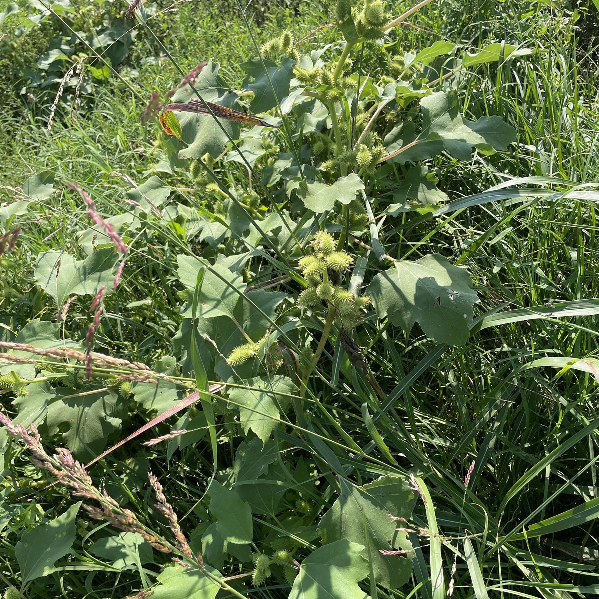
Gravel biking in Pachaug State Forest

Gravel biking in Pomeroy State Park
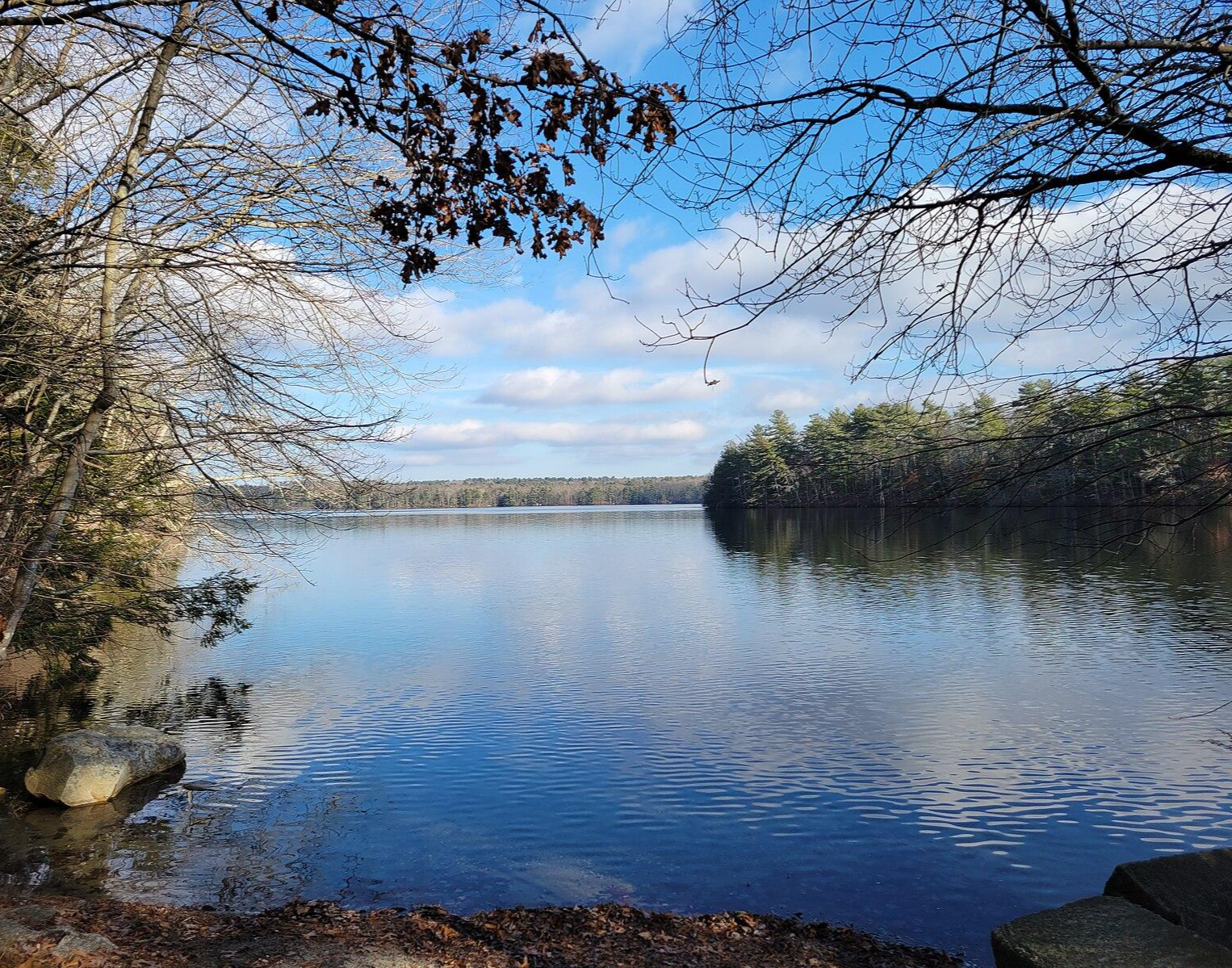
North-South Trail — The Smallest State's Longest Walk
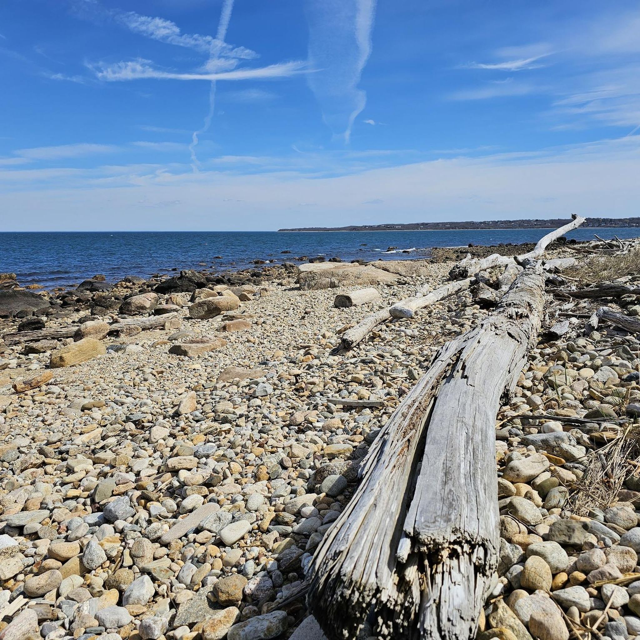
Hiking in Southeastern Connecticut Planning Region
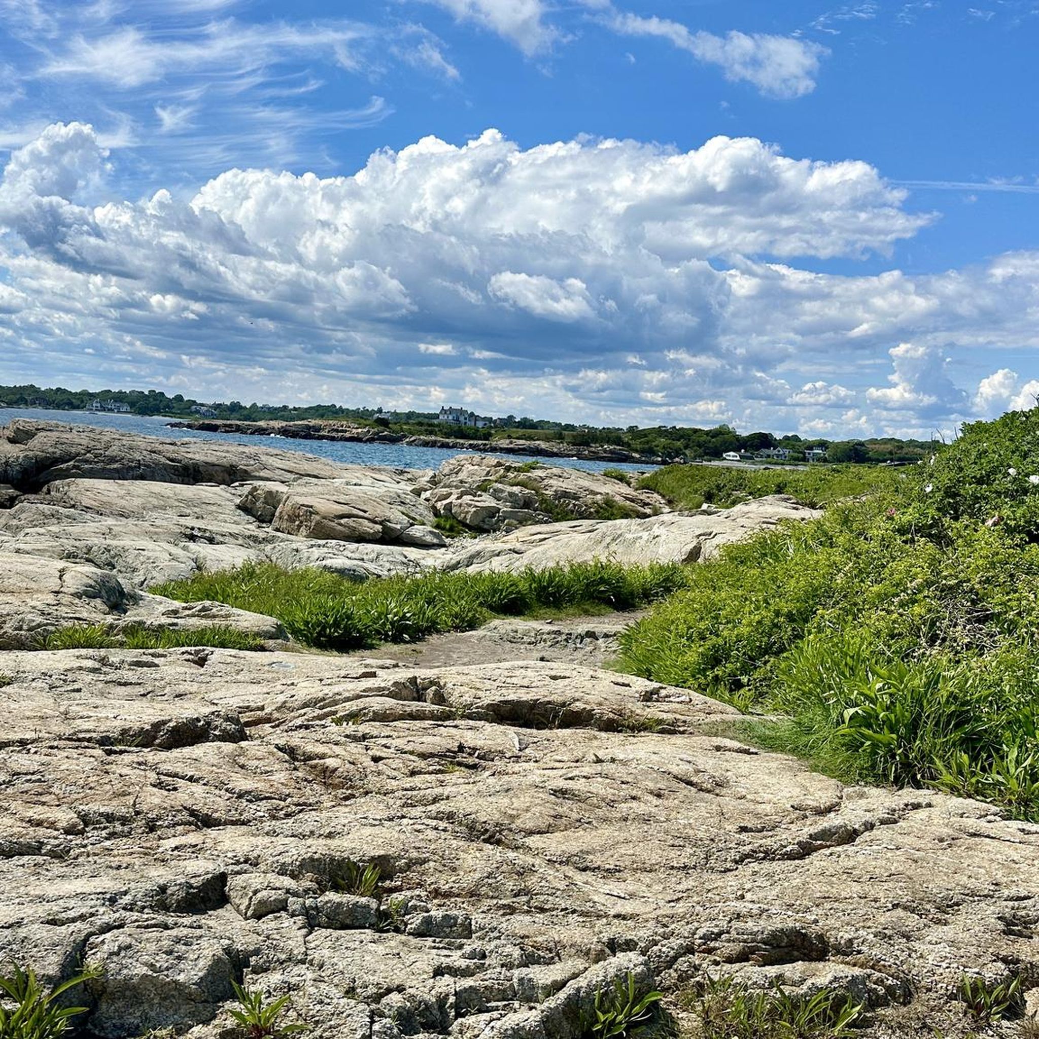
Cycling in Southeastern Connecticut Planning Region
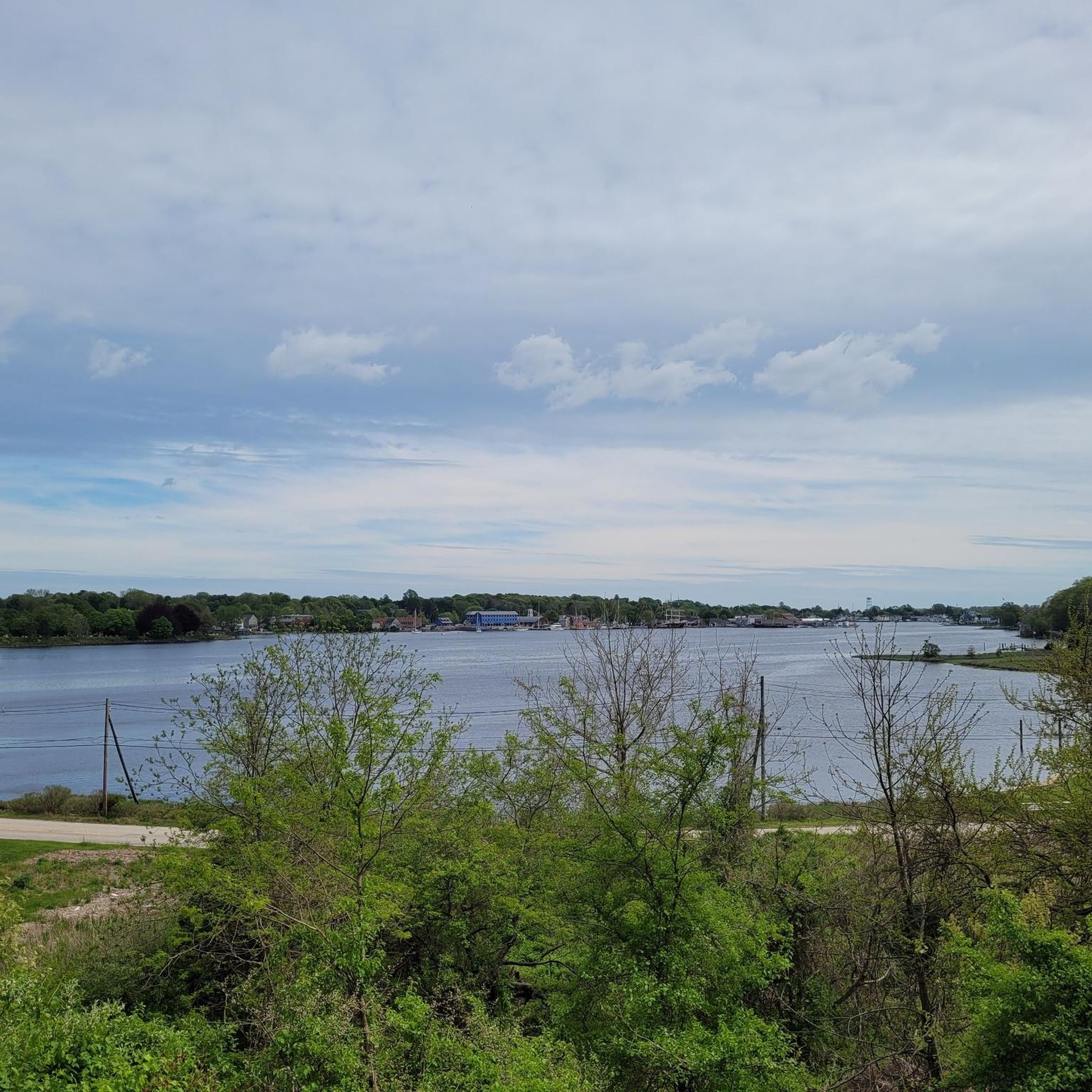
Road Cycling Routes in Southeastern Connecticut Planning Region
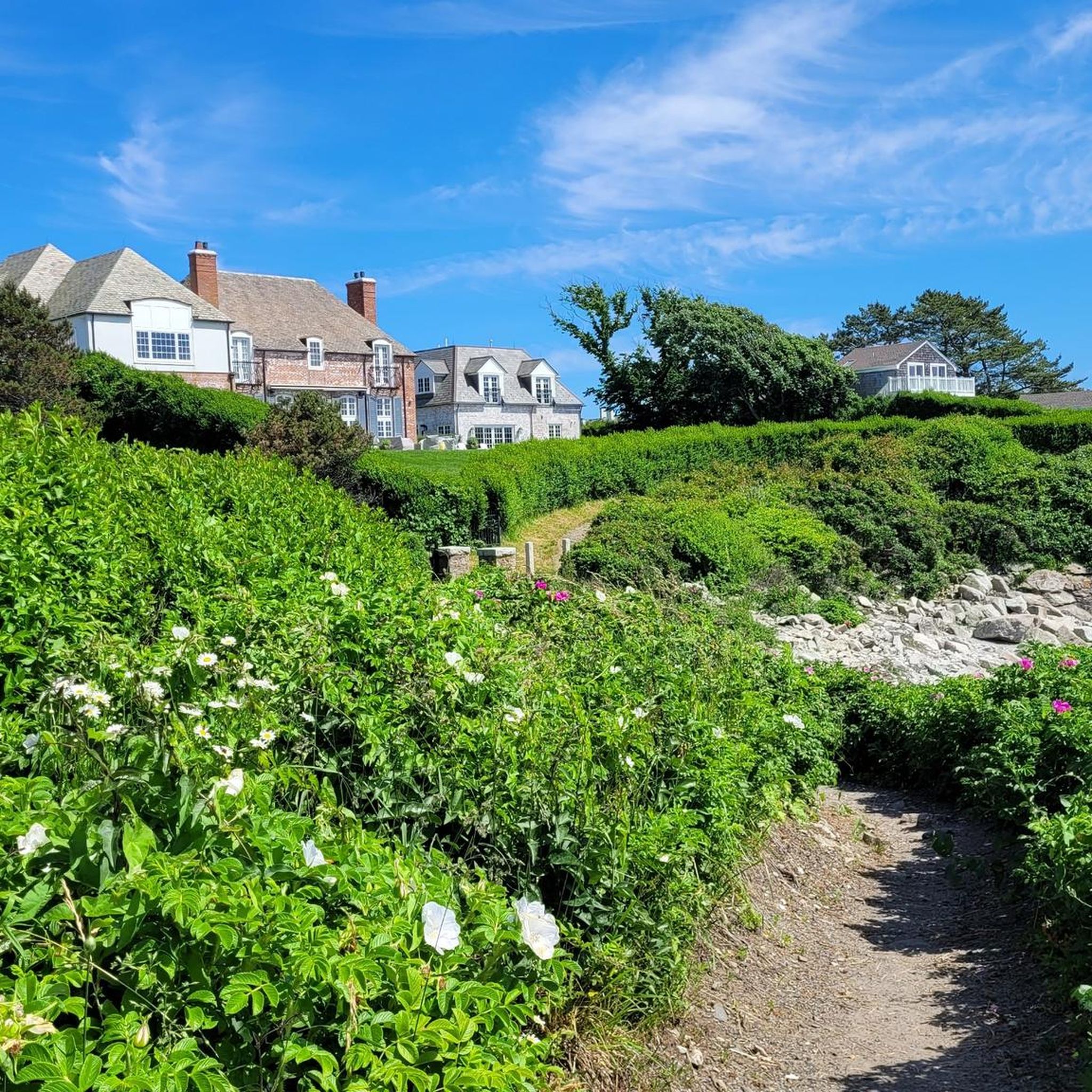
Running Trails in Southeastern Connecticut Planning Region
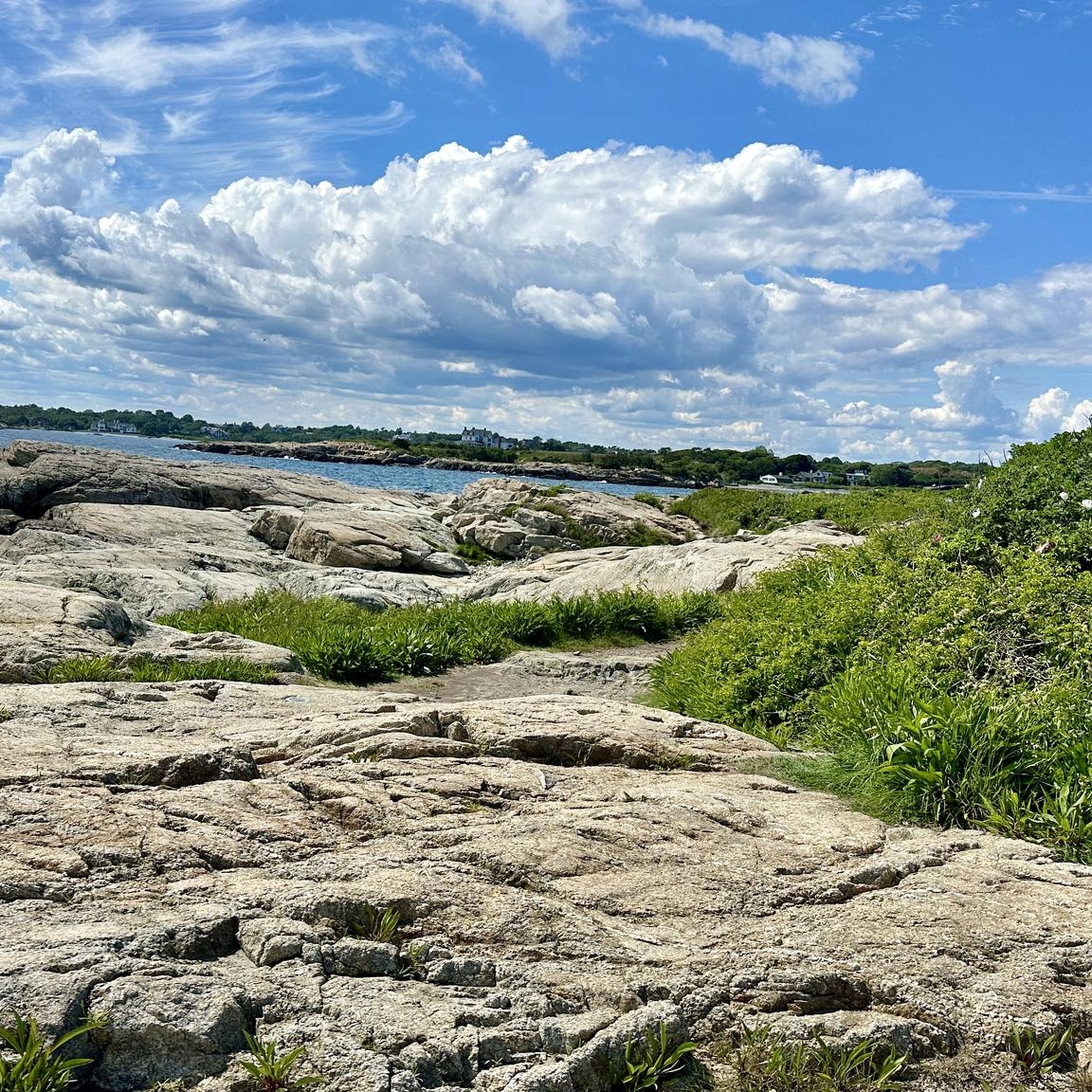
MTB Trails in Southeastern Connecticut Planning Region
Other adventures in Southeastern Connecticut Planning Region

Tips from the Community

The Air Line State Park Trail in Connecticut is a rail trail and linear state park that is a part of the East Coast Greenway. There are several sections including: South (25 miles from East Hampton to Windham), North (21 miles from Windham to Putnam), Thompson addition (6.6 miles from Thompson to the Massachusetts state line), and an additional 3.6-mile spur to Colchester. Recognized as a national recreation trail by the U.S. Department of the Interior in 2002, it offers scenic routes for hiking and biking. This southern section of the trail near East Hampton is a gravel crushed trail that is great to ride on its own, or to access singeltrack in the nearby Salmon River Forest.
0
0

This park runs alongside the Willimantic River, providing scenic views of the water. On the opposite side, there are train tracks where you can occasionally observe interesting carts passing by.
0
0

Discover Middle Haddam Historic District in East Hampton, Connecticut, a place steeped in history. This quaint village along the Connecticut River was founded centuries ago and served as an important port. Stroll through its charming streets and admire the unique architecture that reflects its maritime past.
0
0
Located in the Middle Haddam Historic District, Christ Church Episcopal stands as a proud testament to the area's rich history. Situated conveniently off the road, it holds the distinction of being a registered National Historic Place, offering visitors a glimpse into the past.
0
0
The Hop Park State Trail is part of the larger and expansive East Coast Trail. This section showcases stunning wooded areas and shaded pathways. This section is also fine for a road bike with thinner tires and a lightweight frame.
0
0
On your ride along the Hop River State Park Trail, you'll spot the Andover Memorial Bridge spanning Hebron Road below. It's a special bridge, important to the area, offering a nice view of the surroundings.
0
0
Andover is a charming rural town nestled in Connecticut, offering a tranquil escape for exploration. With its picturesque countryside and inviting atmosphere, it's the perfect place to hop off your bike and immerse yourself in the scenic beauty of rural New England.
0
0

From here you can take the Colchester Spur Trail. The area surrounding the trail played a small but fascinating role in the American Revolution. Look for markers mentioning skirmish sites and troop movements.
1
0
Frequently Asked Questions
How many gravel bike trails are available in Southeastern Connecticut Planning Region?
The Southeastern Connecticut Planning Region offers a wide variety of gravel biking experiences, with over 25 routes available. These routes cater to different skill levels, including easy, moderate, and difficult options.
What kind of landscapes can I expect to see while gravel biking in Southeastern Connecticut?
You'll encounter a diverse landscape, from coastal areas and rolling hills to dense forests and scenic river valleys. Many routes utilize former railway lines, providing multi-surface trails that blend crushed gravel sections with quiet backroads. Expect views of the Long Island Sound, state parks, and winding rivers.
What do other gravel bikers say about the trails in Southeastern Connecticut Planning Region?
The gravel biking routes in Southeastern Connecticut Planning Region are highly rated by the komoot community, with an average score of 4.6 stars from over 10 reviews. Users often praise the varied terrain, scenic beauty, and the well-maintained multi-surface trails that make for an enjoyable ride.
Are there any circular gravel bike routes in the region?
Yes, many routes in the region are designed as loops, allowing you to start and finish at the same point. For example, the Skungamaug Fish and Game Club – Colchester Spur Trail junction loop from Colchester is a popular circular route, as is the Andover Memorial Bridge – Andover loop from Willimantic.
Are there any notable natural features or landmarks along the gravel bike trails?
Absolutely. The region is rich in natural beauty. You might encounter features like Chapman Falls at Devil's Hopyard State Park (just outside the immediate region but a significant nearby feature), or enjoy views of Pine Acres Lake. For specific points of interest, consider exploring highlights like the Barn Island Wildlife Management Area or the scenic Hoxie Scenic Overlook.
Can I find routes that offer coastal views or access to beaches?
While many gravel routes are inland, the region's coastal proximity means you can find paths near areas like Rocky Neck State Park or Bluff Point State Park, which offer beautiful beaches and waterfront access to the Long Island Sound. These areas often have paths suitable for cycling, providing a refreshing coastal experience.
Are there family-friendly gravel biking options in Southeastern Connecticut?
Yes, the region offers several easy to moderate routes that are suitable for families. Trails built on former railway lines, such as sections of the Air Line State Park Trail, often have gentler gradients and crushed gravel surfaces, making them ideal for a family outing. The Air Line Trail – Colchester Spur Trail junction loop from Mono Pond State Park Reserve is an easy option.
What is the best time of year to go gravel biking in Southeastern Connecticut?
Southeastern Connecticut is beautiful for gravel biking throughout much of the year. Spring and fall offer pleasant temperatures and stunning foliage, especially in areas like Devil's Hopyard State Park. Summer is also popular, though it can be warmer, while winter riding is possible on cleared paths, but conditions can vary with snow and ice.
Is parking readily available near the gravel bike trails?
Parking is generally available at trailheads and state parks throughout the region. Many popular trail sections, especially those part of the Air Line State Park Trail or Hop River State Trail, have designated parking areas. It's always a good idea to check specific route details on komoot for parking information before you head out.
Are there any specific permits required for gravel biking on these trails?
Generally, no specific permits are required for gravel biking on the public trails and state parks in Southeastern Connecticut. However, always respect posted signage and any specific regulations for individual parks or protected areas you might visit. For general information on Connecticut's outdoor spaces, you can visit CTvisit.com.
Can I find any routes that pass by interesting historical sites?
Yes, the region has historical points of interest that can be incorporated into your rides. For instance, you could explore areas near Harkness Memorial State Park with its historic mansion and gardens, or cycle near the picturesque Mystic River Bascule Bridge, offering views of the historic Mystic River waterfront.
Are there options for more advanced gravel bikers seeking a challenge?
While many routes are moderate, the region does offer more challenging options for advanced gravel bikers. These routes often feature greater elevation changes and longer distances. For example, the Arcadia Management Area – Stepstone Falls loop from Wood River Barrens is a difficult 62-mile route with significant elevation gain, providing a substantial challenge.
What is the general difficulty level of gravel biking in Southeastern Connecticut?
The gravel biking in Southeastern Connecticut Planning Region caters to a range of abilities. You'll find a good mix of routes: 5 are considered easy, 15 are moderate, and 6 are difficult. This variety ensures that both beginners and experienced riders can find suitable trails.
Most popular routes in Southeastern Connecticut Planning Region
Most popular attractions in Southeastern Connecticut Planning Region

Get inspired with the komoot mobile app


Didn’t find what you were looking for?
Check out more Gravel rides throughout Southeastern Connecticut Planning Region below and find the perfect route in your destination.
Explore more
Browse the best Gravel rides in other regions.
