The best gravel rides in Habersham County
3.0
(1)
39
riders
4
rides
Gravel biking in Habersham County, Georgia, offers diverse terrain within the foothills of the Blue Ridge Mountains. The region features a significant portion of the Chattahoochee National Forest, providing an extensive network of unpaved roads and trails. Riders encounter varied landscapes, including cascading waterfalls, scenic lakes, and consistent elevation changes. This environment creates a challenging yet rewarding experience for gravel cyclists.
Best gravel bike trails in Habersham County
- The most popular gravel bike trail is Chenocetah Lookout Tower – Marry…
Last updated: July 11, 2026
14
riders
71.8km
04:49
1,260m
1,260m
Hard gravel ride. Very good fitness required. Mostly paved surfaces. Suitable for all skill levels.
9
riders
65.3km
04:09
940m
940m
Hard gravel ride. Very good fitness required. Mostly paved surfaces. Suitable for all skill levels.

Sign up for free
3.0
(1)
8
riders
Hard gravel ride. Very good fitness required. Mostly paved surfaces. Suitable for all skill levels.
8
riders
39.4km
02:29
590m
590m
Hard gravel ride. Very good fitness required. Mostly paved surfaces. Suitable for all skill levels.
Our route recommendations are based on thousands of hikes, rides, and runs completed by other people on komoot.
Start today with a free account
Your next adventure awaits.
Login or Signup
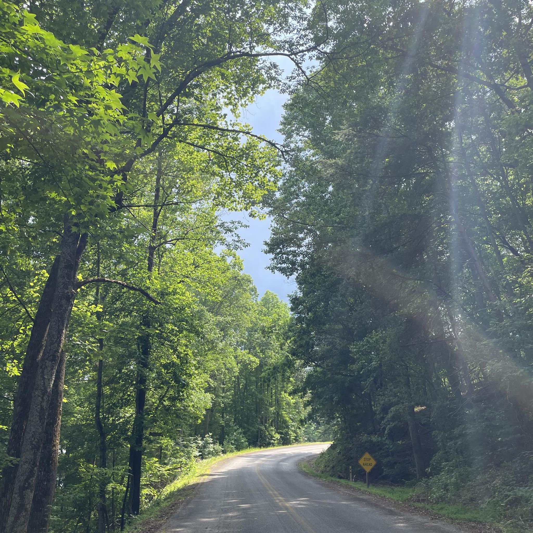
Tips from the Community

Currahee Mountain rises up to 1,735 feet and is at the end of Currahee Mountain Road. The road starts paved and deteriorates into packed dirt, rock, and gravel. The last mile gains about 500 feet, so it's a trek getting to the top. That being said, it's a ripper coming down!
0
0
Currahee Mountain rises up to 1,735 feet and is at the end of Currahee Mountain Road. The road starts paved and deteriorates into packed dirt, rock, and gravel. The last mile gains about 500 feet, so it's a trek getting to the top. That being said, it's a ripper coming down!
0
0
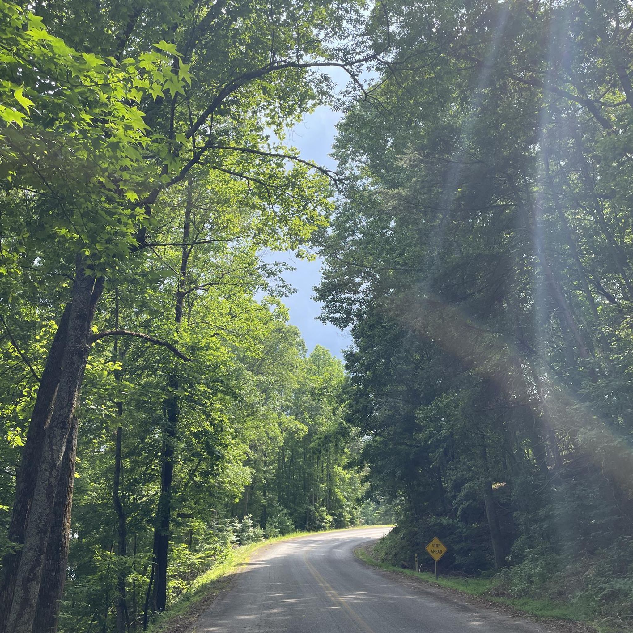
Lake Russell Road is a quiet paved road that you can bike up (or down) to get to the Chenocetah Lookout Tower. The road follows the banks of the lake until it intersects Old Lake Russell Road, which shoots straight uphill. Note that you'll at least want a gravel bike if you are biking all the way up to the tower from this side since the road is unmaintained for a major section. Likewise, you'll want a mountain bike if you are planning on doing any of the singletrack trails on the property.
0
0
Lake Russell Road is a quiet paved road that you can bike up (or down) to get to the Chenocetah Lookout Tower. The road follows the banks of the lake until it intersects Old Lake Russell Road, which shoots straight uphill. Note that you'll at least want a gravel bike if you are biking all the way up to the tower from this side since the road in unmaintained for a major section. Likewise, you'll want a mountain bike if you are planning on doing any of the singletrack trails on the property.
0
0
Lake Russell Road is a quiet paved road that you can run up (or down) to get to the Chenocetah Lookout Tower. The road follows the banks of the lake until it intersects Old Lake Russell Road, which shoots straight uphill.
0
0
Located on top of the 1,830-foot mountain, this 54-foot structure is on the National Register of Historic Places. The tower is open during daylight hours and offers panoramic views from the top room. Be ready to climb some stairs to get to the top!
0
0
Located on top of the 1,830-foot mountain, this 54-foot structure is on the National Register of Historic Places. The tower is open during daylight hours and offers panoramic views from the top room. Be ready to climb some stairs to get to the top!
0
0

You can either park at the bottom where the airplane is or drive up. We parked halfway up to get some hiking in. From bottom to top and back is about 51/2 miles.
3
0
Frequently Asked Questions
What kind of terrain can I expect on gravel bike trails in Habersham County?
Habersham County, nestled in the Blue Ridge Mountains, offers diverse gravel biking terrain. You'll find an extensive network of unpaved roads and trails within the Chattahoochee National Forest, featuring varied landscapes from challenging climbs to scenic descents. The region is characterized by rolling hills, consistent elevation changes, and a mix of gravel and some paved sections, providing a rewarding experience for cyclists.
Are there any easy or moderate gravel bike trails for beginners in Habersham County?
While many routes in Habersham County are considered difficult due to significant elevation changes, there are options for moderate riders. For instance, the Sky Lake loop from Sautee Nacoochee is a moderate 31.9 km trail that offers a less strenuous experience while still showcasing the region's beauty.
What are some notable natural attractions or landmarks I might see along the gravel routes?
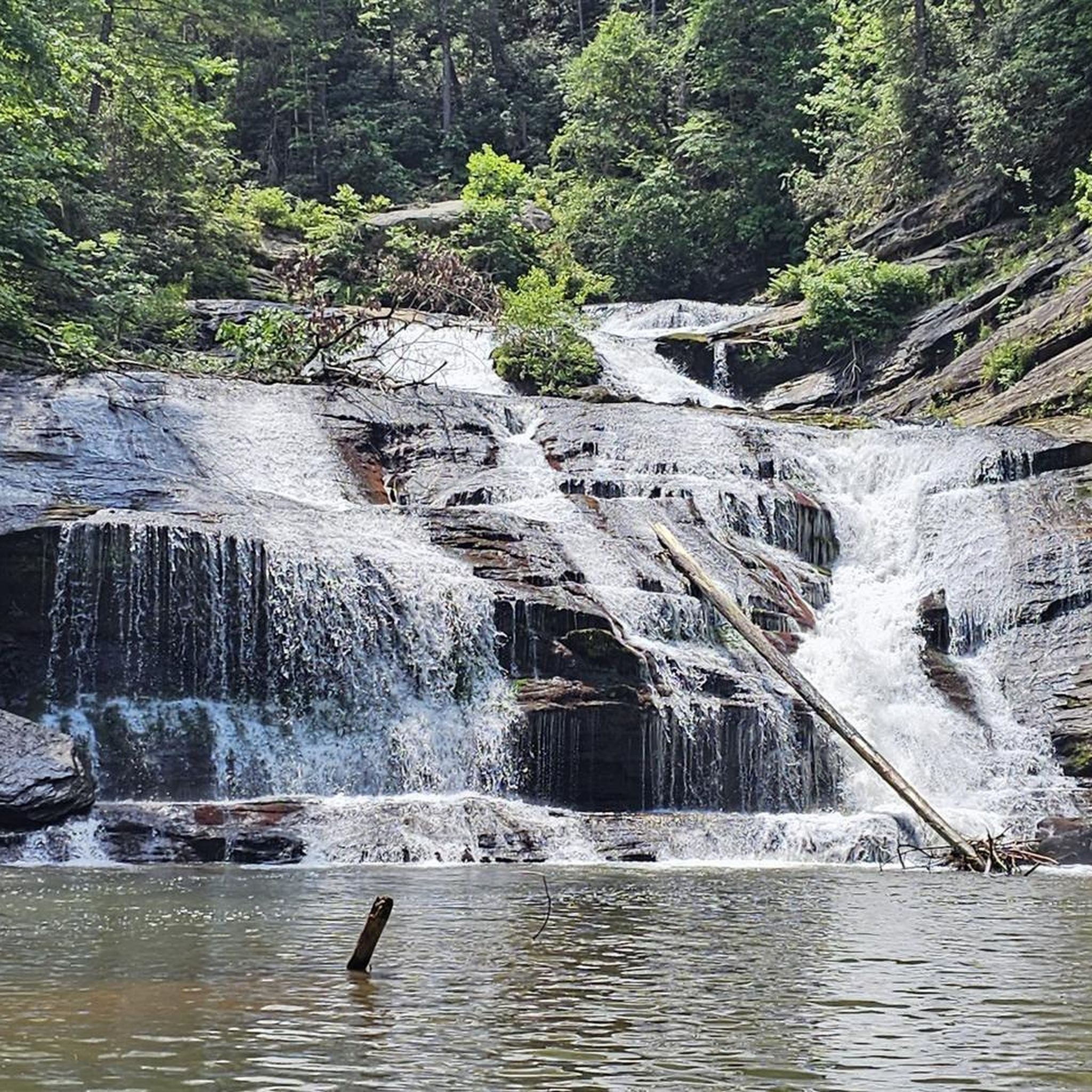
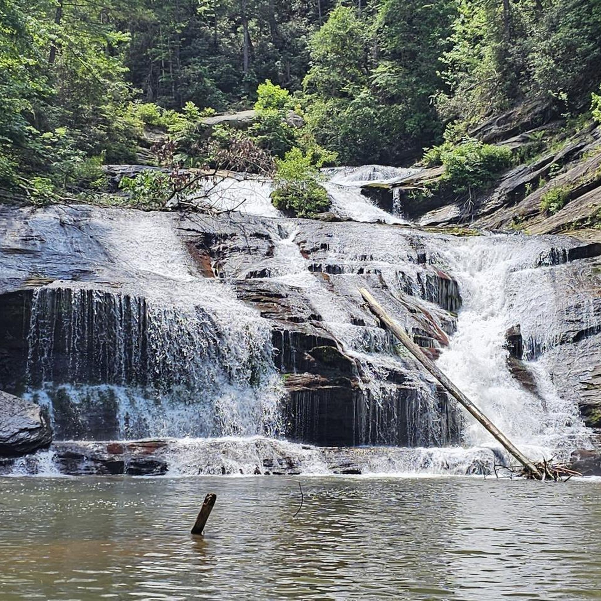
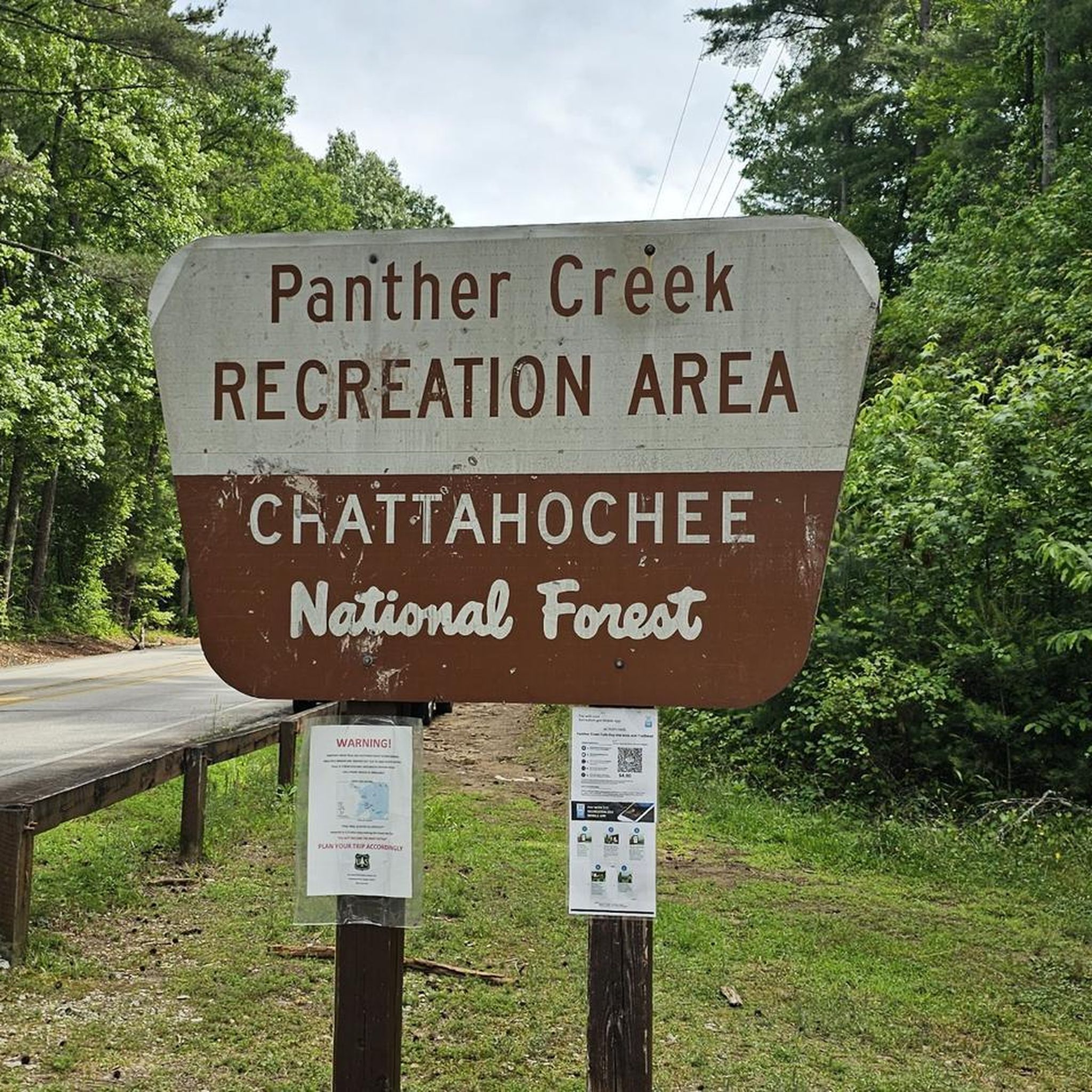
Habersham County is rich in natural beauty. Many gravel routes offer views of lakes like Lake Russell and Lake Burton. You might also encounter stunning waterfalls such as Panther Creek Falls or enjoy viewpoints of Tempesta Falls and Hurricane Falls near Tallulah Gorge State Park. The Lake Russell Road itself is a scenic highlight.
What do other gravel bikers enjoy most about cycling in Habersham County?
The komoot community highly rates the gravel biking experience in Habersham County. Riders often praise the extensive network of forest roads within the Chattahoochee National Forest, the scenic lakefront sections, and the challenging yet rewarding rolling terrain of the Blue Ridge foothills. The opportunity to explore less-traveled paths and enjoy impressive vistas is a common highlight.
Are there any circular gravel bike routes available?
Yes, many of the gravel routes in Habersham County are designed as loops. Examples include the challenging Chenocetah Lookout Tower – Marry Steel Waterfall loop from Cornelia, the Lake Russell Road – Chenocetah Lookout Tower loop from Habersham Central High School, and the Ducket Lake loop from Camp Toccoa. These loops allow you to start and finish at the same point, making logistics easier.
Is Habersham County suitable for family-friendly gravel biking?
While many routes feature significant elevation, some sections and forest roads within the Chattahoochee National Forest can be suitable for families looking for less technical gravel riding. It's best to check the specific route details for elevation and surface conditions to ensure it matches your family's ability level. The region offers a chance to explore nature together, but prepare for varied terrain.
Can I bring my dog on the gravel bike trails in Habersham County?
Generally, dogs are welcome on trails within the Chattahoochee National Forest, which encompasses a large portion of Habersham County's gravel routes. However, it's always recommended to keep your dog on a leash and practice Leave No Trace principles. Always check specific park or trail regulations before heading out, especially for state parks like Tallulah Gorge, which may have different rules.
What is the best season for gravel biking in Habersham County?
Spring and fall are generally considered the best seasons for gravel biking in Habersham County. The weather is milder, and the natural scenery, with blooming wildflowers in spring or vibrant foliage in fall, is particularly stunning. Summers can be hot and humid, while winters can bring colder temperatures, though snow is less common at lower elevations.
Are there places to eat or stay near the gravel biking areas?
Yes, towns like Clarkesville, Cornelia, and Tallulah Falls offer various amenities including cafes, restaurants, and accommodation options. These towns serve as good starting points or places to refuel after a ride. For more information on local businesses and attractions, you can visit visithabersham.com.
Where can I find parking for gravel bike trails in Habersham County?
Parking is often available at trailheads, designated recreation areas within the Chattahoochee National Forest, or near public parks in towns like Cornelia or Camp Toccoa, which serve as common starting points for routes. For specific routes, checking the tour details on komoot will often provide information on recommended parking locations.
Are there any permits required for cycling in certain areas, like Tallulah Gorge State Park?
While many forest service roads in the Chattahoochee National Forest are open for cycling without specific permits, areas like Tallulah Gorge State Park may have different regulations. For activities within state parks, it's always advisable to check their official websites or contact them directly regarding any required permits or fees for cycling access.
Most popular routes in Habersham County
Most popular attractions in Habersham County

Get inspired with the komoot mobile app


Explore more
Browse the best Gravel rides in other regions.
