The best gravel rides in Jefferson County
4.5
(66)
784
riders
53
rides
Gravel biking in Jefferson County offers diverse terrain at the convergence of the Great Plains and the Rocky Mountain foothills. The region features an extensive network of open space parks, providing a mix of crushed gravel, packed dirt, and some singletrack trails. Riders can explore landscapes ranging from eastern shortgrass prairies to western subalpine forests, with routes often following canals, rivers, and reservoir shorelines. This variety ensures options for different skill levels and preferences across its varied topography.
Best gravel…
Last updated: October 15, 2026
27
riders
37.1km
03:19
610m
610m
Hard gravel ride. Very good fitness required. You may need to push your bike for some segments of this route.
4.0
(4)
81
riders
Moderate gravel ride. Good fitness required. Mostly paved surfaces. Suitable for all skill levels.

3.5
(2)
36
riders
Moderate gravel ride. Good fitness required. Mostly paved surfaces. Suitable for all skill levels.
4.0
(1)
33
riders
Hard gravel ride. Good fitness required. You may need to push your bike for some segments of this route.
4.0
(1)
24
riders
41.2km
02:43
490m
490m
Hard gravel ride. Very good fitness required. You may need to push your bike for some segments of this route.
5.0
(5)
11
riders
Hard gravel ride. Very good fitness required. Mostly paved surfaces. Suitable for all skill levels.
3.0
(1)
10
riders
52.1km
04:25
950m
950m
Hard gravel ride. Very good fitness required. You may need to push your bike for some segments of this route.
8
riders
22.0km
01:40
220m
220m
Moderate gravel ride. Good fitness required. Mostly paved surfaces. Suitable for all skill levels.
3.8
(5)
62
riders
Moderate gravel ride. Good fitness required. Mostly paved surfaces. Suitable for all skill levels.
5.0
(1)
13
riders
67.0km
04:01
560m
560m
Hard gravel ride. Very good fitness required. Mostly paved surfaces. Suitable for all skill levels.
Get access to more routes and recommendations from other explorers.
Already have an account?
Our route recommendations are based on thousands of hikes, rides, and runs completed by other people on komoot.
Start today with a free account
Your next adventure awaits.
Popular around Jefferson County

Gravel biking around Ken Caryl

Gravel biking around Columbine
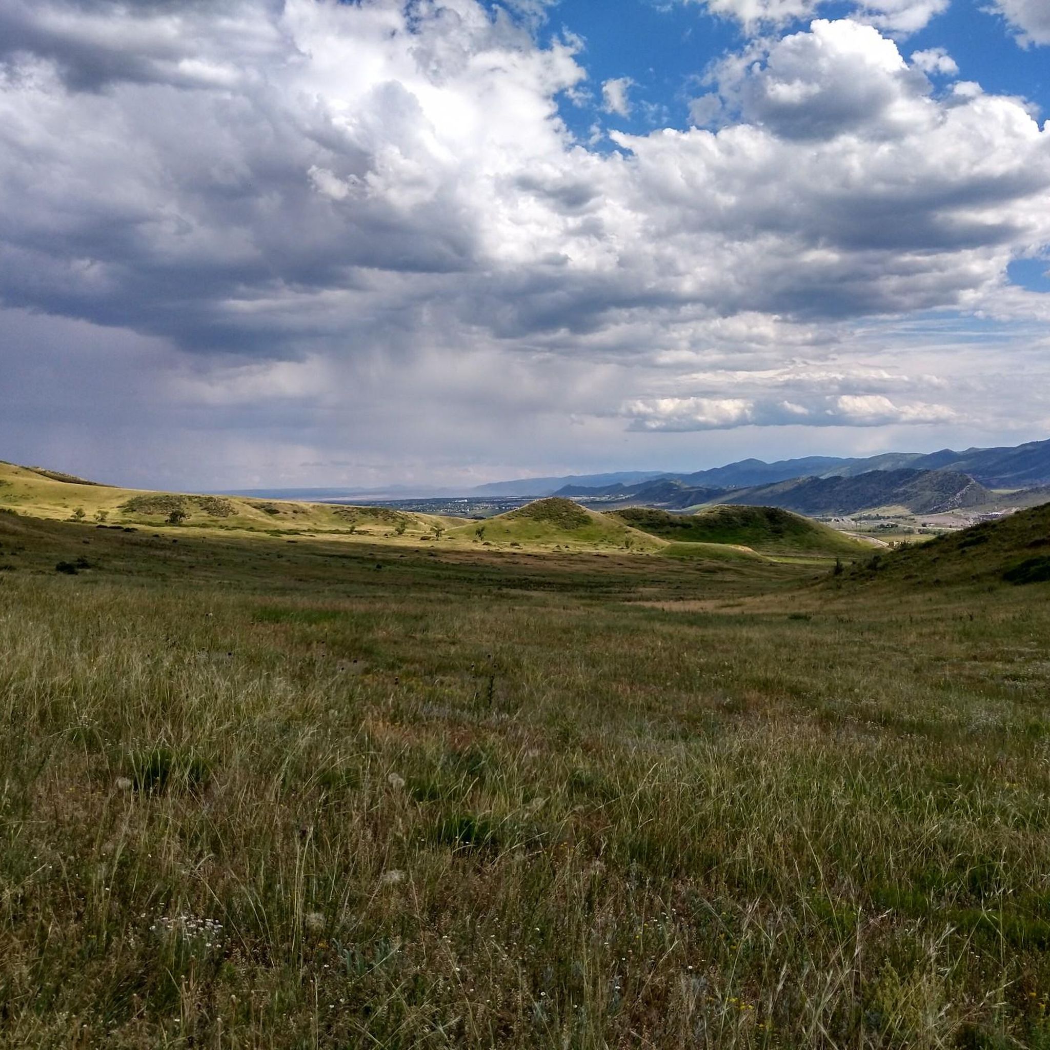
Gravel biking around Lakewood

Gravel biking around Westminster
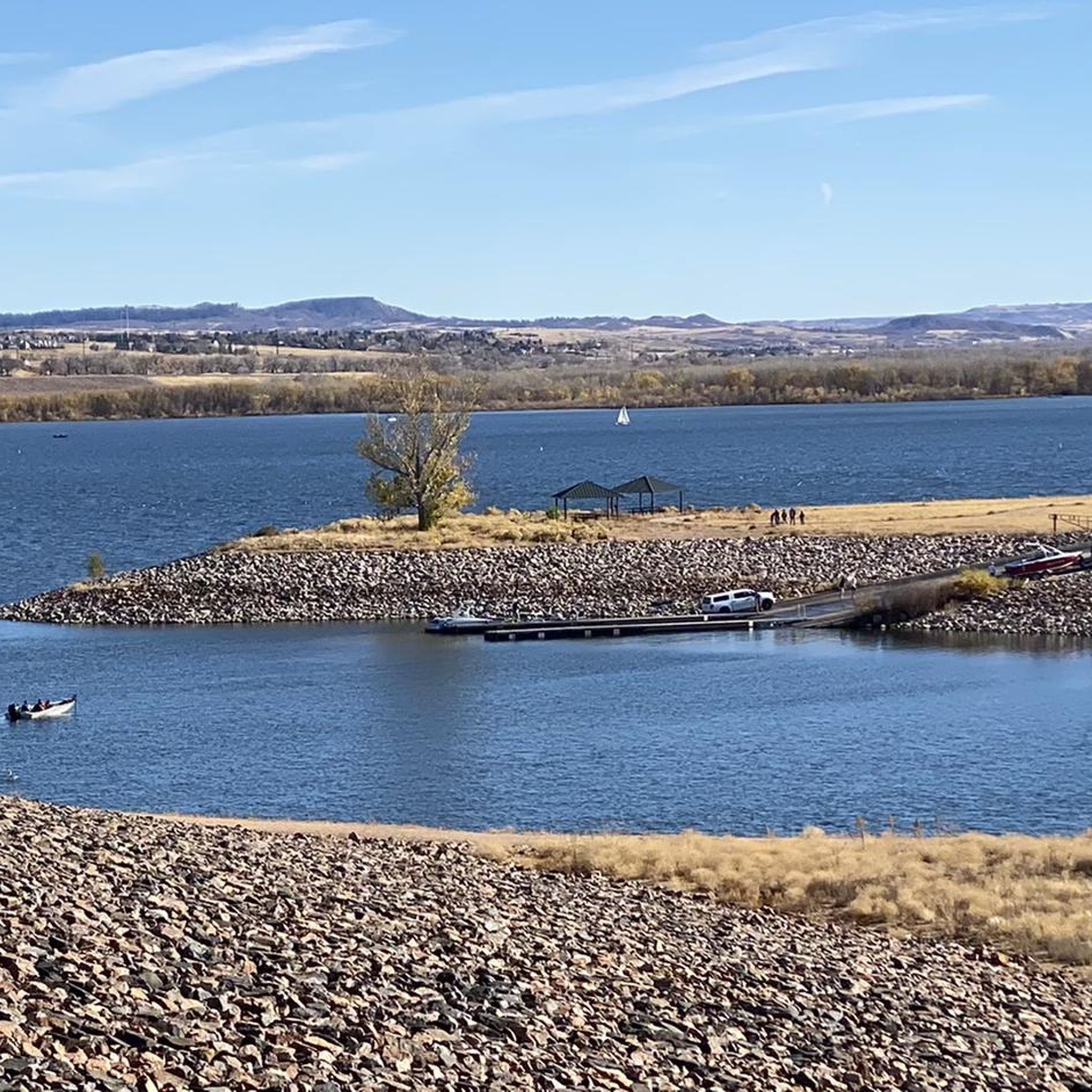
Gravel biking in Hildebrand Ranch Park

Gravel biking in Rocky Flats National Wildlife Refuge

Gravel biking around Fairmount

Gravel biking around Applewood
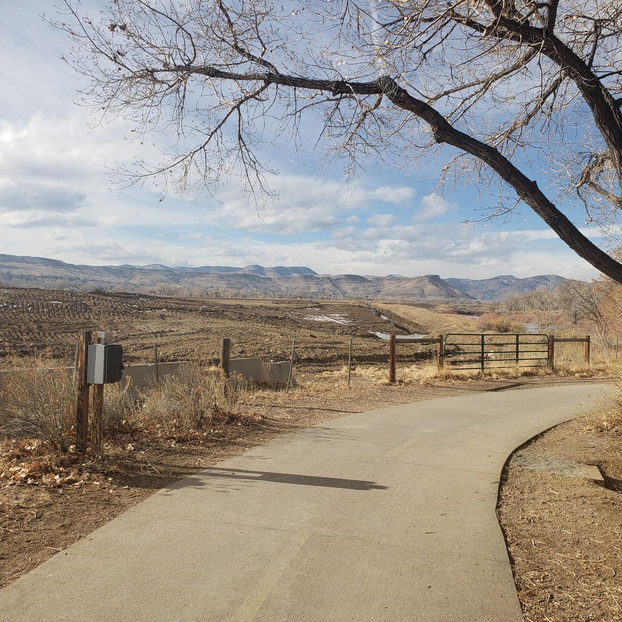
Gravel biking around Golden
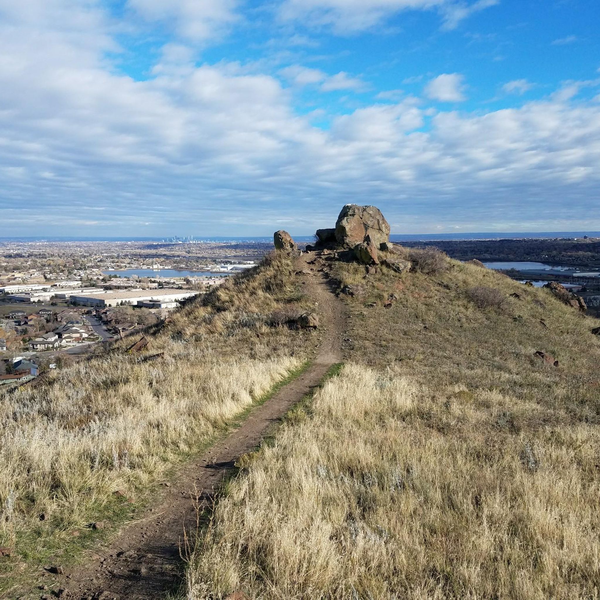
Gravel biking around Arvada
Other adventures in Jefferson County


Tips from the Community

It's fun to ride on the wooden planks - and when it's muddy, it helps you avoid the worst.
1
0


Rolling Creek Trailhead is where the Colorado Trail crosses Wellington Lake Road. It is a common spot for hikers to resupply at Bailey off-trail. This is also the point where the Colorado Trail segment 3 ends and segment 4 begins.
0
0
The Little Scraggy Trailhead has a pit toilet, parking, benches, but no trash can. You can camp dispersed close by, and it connects to the Colorado Trail just off County Road 126. This point marks the end of Segment 2 on the Colorado Trail and the beginning of Segment 3.
0
0

The Little Scraggy Trailhead has a pit toilet and picnic benches. You can even camp pretty close to it.
2
0

Warembourg Open Space is a peaceful spot along Coal Creek and the Coal Creek Regional Trail, shaped through conservation efforts by Boulder County, Louisville, and Lafayette. Established in 1999 and 2003, it offers hikers a lovely riparian habitat with cottonwoods, wildlife, and scenic creekside views—a perfect place for an easy, immersive walk close to nature.
0
0

You can see William Frederick Hayden Park on the right, and Denver on the left from Carl's Point. A perfect spot to take a mid ride photo or simply take a break and enjoy the view.
0
0

Frequently Asked Questions
How many gravel bike trails are available in Jefferson County?
Jefferson County offers a wide selection of gravel biking routes, with over 50 tours available on komoot. These routes traverse the diverse landscapes of the region, from shortgrass prairies to subalpine forests.
What types of terrain can I expect on gravel bike trails in Jefferson County?
You'll encounter a varied mix of surfaces, including crushed gravel, smooth packed dirt, asphalt, and concrete paths. Some areas, like Green Mountain, also feature more challenging wide single-track sections. This diversity allows for rides suitable for all fitness levels and skill sets.
Are there any easy gravel bike trails suitable for beginners or families?
Yes, Jefferson County has several easy gravel routes. A great option is the Fairmont Canal Trail – View of the Arvada Blunn Reservoir loop from Arvada West Dog Park, which is an easy 9.5-mile path offering pleasant riding alongside the Fairmont Canal and views of the Arvada Blunn Reservoir. Bear Creek Lake Park also provides easy gravel riding options.
What are some challenging gravel bike routes in Jefferson County?
For those seeking a challenge, routes like the Wetlands View – Start of the Colorado Trail loop from Chatfield Reservoir, a difficult 41.1-mile ride, offer significant elevation gain. Green Mountain (William Frederick Hayden Park) is also known for its wide single-track trails that are more technical than typical gravel roads.
Can I bring my dog on the gravel bike trails in Jefferson County?
Many of Jefferson County's open space parks are dog-friendly, but specific regulations vary by park and trail. It's always best to check the rules for the particular park you plan to visit, as some trails may have leash requirements or seasonal closures for wildlife protection, such as the Elk Range Trail.
Are there any scenic viewpoints or natural attractions along the gravel routes?
Absolutely! Many routes offer scenic vistas, especially around North Table Mountain and South Table Mountain. Waterton Canyon is particularly known for wildlife viewing, including Bighorn Sheep. You can also explore natural monuments like Green Mountain Peak and Lichen Peak, or enjoy the beauty of Bear Creek Lake and Big Soda Lake.
What do other gravel bikers enjoy most about riding in Jefferson County?
The area is highly rated by the komoot community, with an average score of 4.6 stars from over 40 reviews. Riders often praise the extensive network of open space parks, the diverse terrain that caters to all skill levels, and the scenic views at the convergence of the Great Plains and the Rocky Mountain foothills.
Are there any loop trails for gravel biking in Jefferson County?
Yes, many of the gravel routes in Jefferson County are designed as loops, allowing for a continuous ride without retracing your path. Examples include the popular Mount Carbon Loop – Big Soda Lake loop from Morrison and the Start of the Colorado Trail – View from Chatfield Dam loop from Kassler trailhead.
What is the best time of year for gravel biking in Jefferson County?
The diverse climate allows for riding through much of the year. Spring and fall offer pleasant temperatures and vibrant scenery. Summer can be warm, so early morning rides are often preferred. While winter riding is possible, some trails may be affected by snow or ice, and certain areas like the Elk Range Trail have seasonal closures for wildlife.
Are there any specific parks known for their gravel biking options?
Jefferson County boasts numerous parks with excellent gravel biking. Notable mentions include South Valley Park, Chatfield State Park, Bear Creek Lake Park, Green Mountain, South Table Mountain, and North Table Mountain. Waterton Canyon also offers a scenic dirt road ride along the South Platte River.
Where can I find parking for gravel biking trails in Jefferson County?
Most major open space parks and trailheads in Jefferson County provide designated parking areas. For specific routes, it's advisable to check the starting point of your chosen tour on komoot, as parking details are often included there.
Are there any long-distance gravel routes in the area?
Yes, the Highline Canal Trail offers a significant long-distance gravel riding experience, stretching for 72 miles and connecting to areas like Chatfield State Park. Additionally, routes like the Sterns Lake – Aquarius Open Space loop from Arvada cover over 40 miles, providing a substantial ride.
Most popular routes in Jefferson County
Most popular attractions in Jefferson County

Get inspired with the komoot mobile app


Didn’t find what you were looking for?
Check out more Gravel rides throughout Jefferson County below and find the perfect route in your destination.
Explore more
Browse the best Gravel rides in other regions.
