The best gravel rides around Etang Du Boulet
4.7
(26)
210
riders
28
rides
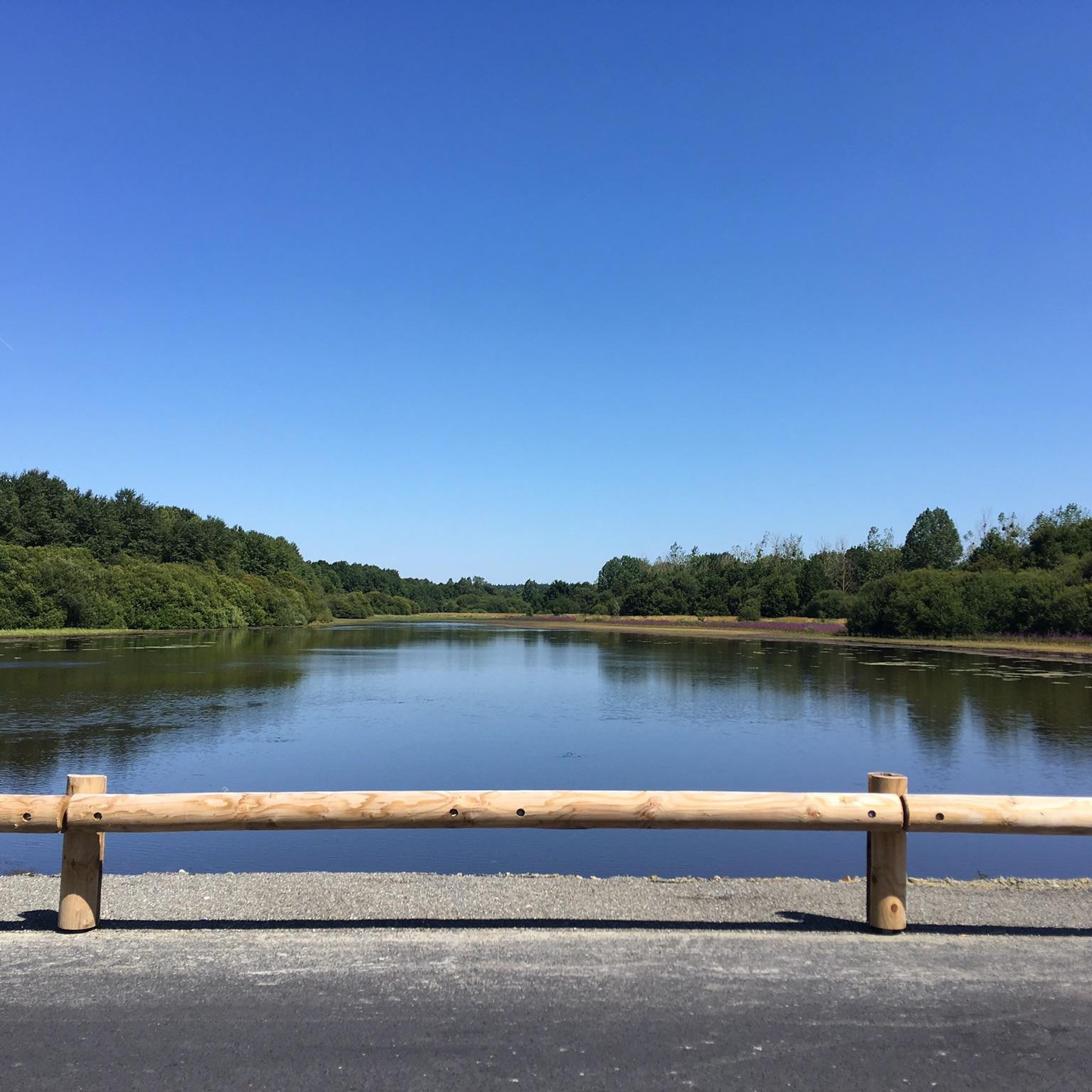
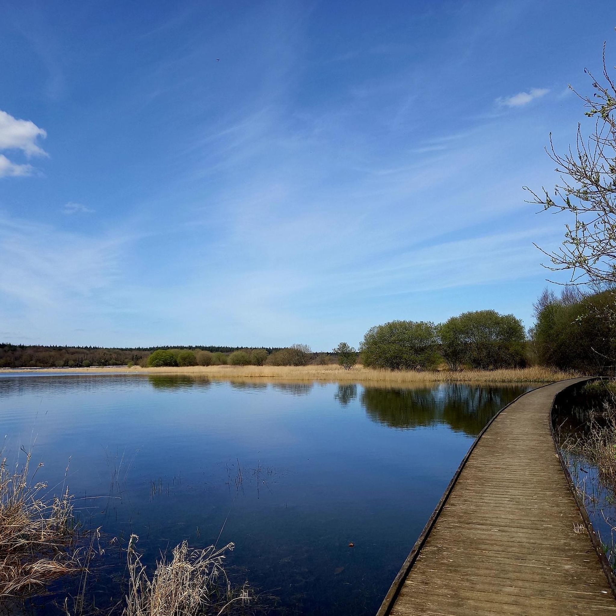
Gravel biking around Etang Du Boulet offers diverse landscapes centered around the largest navigable body of water in Ille-et-Vilaine. The region is characterized by expansive lakeside scenery, surrounding forests, meadows, and cultivated lands. As a classified Natura 2000 protected site, it features a biodiverse environment, including the historic 17.5 km Rigole de Boulet canal, which provides picturesque routes often shaded by ancient trees. The terrain includes relatively flat paths around the pond and more varied routes through rural countryside.
Best…
Last updated: July 3, 2026
9
riders
135km
07:10
520m
520m
Hard gravel ride. Very good fitness required. You may need to push your bike for some segments of this route.
4
riders
Hard gravel ride. Very good fitness required. Mostly paved surfaces. Suitable for all skill levels.

Sign up for free
5.0
(2)
7
riders
116km
06:07
530m
530m
Hard gravel ride. Very good fitness required. Mostly paved surfaces. Suitable for all skill levels.
4.0
(1)
7
riders
41.8km
02:32
190m
190m
Moderate gravel ride. Good fitness required. Mostly paved surfaces. Suitable for all skill levels.
4.8
(28)
142
riders
66.0km
03:20
250m
250m
Moderate gravel ride. Good fitness required. Mostly paved surfaces. Suitable for all skill levels.
Get access to more routes and recommendations from other explorers.
Sign up for free
Already have an account?
Our route recommendations are based on thousands of hikes, rides, and runs completed by other people on komoot.
Start today with a free account
Your next adventure awaits.
Login or Signup

Tips from the Community

Monument of Chateaubriand. In the old market hall behind it art and handicrafts
0
0
There is an artists' market in the old market hall
0
0

Numerous Breton legends surround the stone. One of the most famous tells that the menhir sinks a little deeper into the ground each year, and that its complete disappearance will signal the end of the world. Another legend sees it as a divine sign that separated two feuding brothers and gave the field the name "Champ-Dolent," or "Field of Sorrow."
1
0
South of Dol-de-Bretagne rises the Menhir du Champ-Dolent, a mighty granite block from the Neolithic period. At almost ten meters high, it is one of the largest surviving menhirs in France. Its weight is estimated at around 100 tons, and it was probably extracted from the immediate surroundings. Its original function remains unclear to this day—researchers suspect ritual or symbolic purposes, perhaps even an astronomical alignment.
1
0
Particularly outstanding within the cathedral's interior is the large choir window from the late 13th century, one of the oldest surviving monumental stained glass windows in Brittany, depicting scenes from the Bible and church history. Also noteworthy are the approximately 77 finely carved choir stalls from the 14th century, decorated with human and animal depictions. Among the most important works of art is the tomb of Bishop Thomas James from the early 16th century, considered the oldest Renaissance tomb in Brittany. In addition to these treasures, the cathedral also houses a double fountain of Roman origin, several richly decorated chapels, and the modern high altar from 1963, depicting scenes from the life of Saint Samson.
1
0
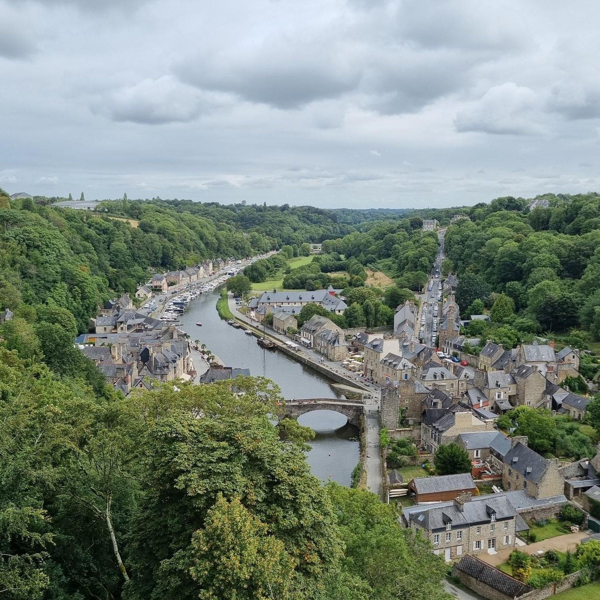
Dol-de-Bretagne is a historic town founded as a bishopric in the 5th or 6th century under the influence of Saint Samson of Dol. The town is known for its well-preserved medieval architecture, including the Saint-Samson Cathedral, the Musée de la Trésorerie, and the Maison des Petits Palets. The surrounding area also features the Menhir du Champ-Dolent, a megalith dating back to the Neolithic period that is over 4,000 years old. Markets, local festivals, and small shops enliven town life, and despite its touristic significance, the town remains relatively quiet and manageable, an ideal place to experience history, culture, and Breton flair.
1
0

This greenway between Mont Saint-Michel and Pontorson alternates between magnificent stretches with unobstructed views and shaded sections with bucolic charm. Away from road traffic, this section reveals the unique calm of nature.
0
0

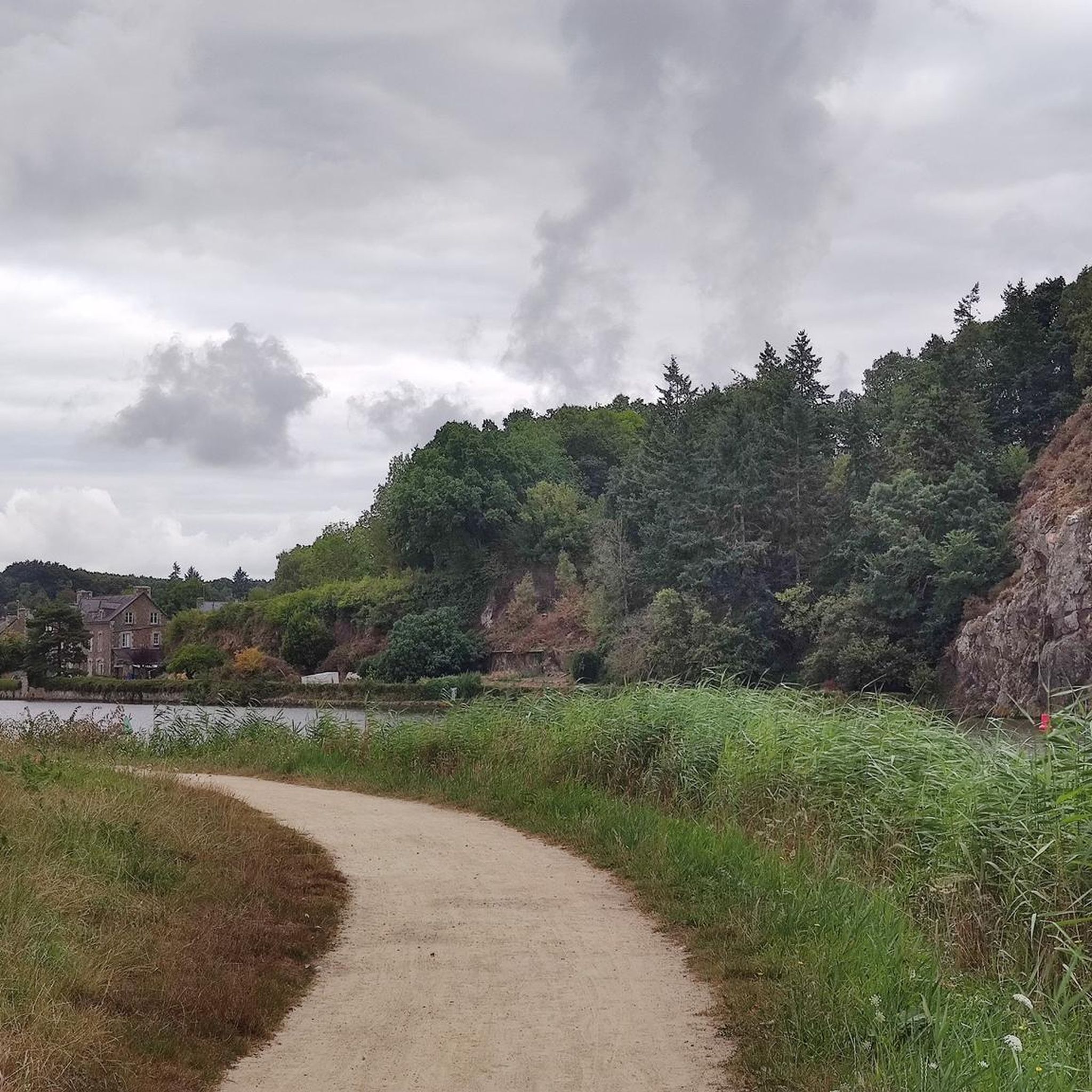
beautiful avenue of weeping willows along the stream
0
0
Frequently Asked Questions
How many gravel bike trails are available around Etang Du Boulet?
There are over 15 gravel bike routes in the Etang Du Boulet area, catering to various skill levels. You'll find a mix of easy, moderate, and difficult trails to explore.
What kind of terrain can I expect on the gravel bike trails?
The terrain around Etang Du Boulet is quite varied. You'll encounter serene lakeside paths, routes winding through woodlands, rural countryside, and sections along the historic Rigole de Boulet canal. Many routes feature unpaved segments, offering a true gravel biking experience.
Are there any family-friendly gravel bike routes?
Yes, the area offers options suitable for families. A relatively flat 6.2 km loop encircles the pond, which is ideal for a relaxed ride. For a slightly longer, easy option, consider the Site des Onze écluses – Moucherie Lock loop from Guipel, which is 20.5 km long and has minimal elevation gain.
Where can I park my car when visiting Etang Du Boulet for gravel biking?
Parking is generally available at various access points around the Etang Du Boulet. For specific starting points of tours, check the individual route descriptions on komoot for detailed parking information.
Can I rent a bike in the Etang Du Boulet area?
Yes, bike rental is available in the area, particularly near the lake. The nautical center at Etang Du Boulet offers equipment rental, which may include bikes, making it convenient for visitors without their own gear.
What are some notable natural features or landmarks to see along the trails?
The Etang Du Boulet itself is the largest navigable body of water in Ille-et-Vilaine and a classified Natura 2000 protected site, offering expansive lakeside scenery and diverse ecosystems. You can also ride along the historic 17.5 km Rigole de Boulet canal, which features picturesque routes often shaded by ancient trees. The area is also an important ornithological site, so keep an eye out for various bird species.
What is the best time of year for gravel biking around Etang Du Boulet?
The diverse landscapes of Etang Du Boulet are enjoyable across multiple seasons. Spring and autumn offer pleasant temperatures and beautiful scenery with changing foliage. Summer is also popular, especially with the lakeside activities, but can be warmer. Winter riding is possible, but be prepared for potentially wetter conditions on unpaved sections.
Are there any circular gravel bike routes?
Yes, many of the gravel routes around Etang Du Boulet are designed as loops. For example, the Dike at Étang de Boulet – Ville Morin Lock loop from Aubigné is a 41.6 km circular trail that takes you through the area surrounding the lake and along canal sections.
What do other gravel bikers say about the trails in Etang Du Boulet?
The routes in Etang Du Boulet are highly rated by the komoot community, with an average score of 4.9 stars from more than 20 reviews. Riders often praise the varied terrain, the scenic beauty of the lake and canal, and the blend of natural and historical elements along the paths.
Are there places to eat or drink near the gravel bike trails?
Yes, you can find cafes, pubs, and restaurants in the nearby towns and villages such as Feins and Dingé. The lakeside area itself may also have options, especially during peak season, providing convenient spots to refuel after your ride.
Are there options for advanced gravel bikers seeking a challenge?
Absolutely. While there are easier routes, the region also offers more challenging options. For instance, the Moucherie Lock – Site des Onze écluses loop from Saint-Médard-sur-Ille is a difficult 41.6 km route with significant elevation gain, providing a good test for experienced riders.
Can I access the Etang Du Boulet area by public transport?
While direct public transport access to all trailheads might be limited, you can research bus services to nearby towns like Feins or Dingé. From there, you might need to cycle a short distance to reach the main gravel biking areas around the lake.
Most popular routes around Etang Du Boulet

Get inspired with the komoot mobile app


Explore more
Browse the best Gravel rides in other regions.
