The best gravel rides around Étang Du Malsaucy
4.5
(14)
131
riders
41
rides
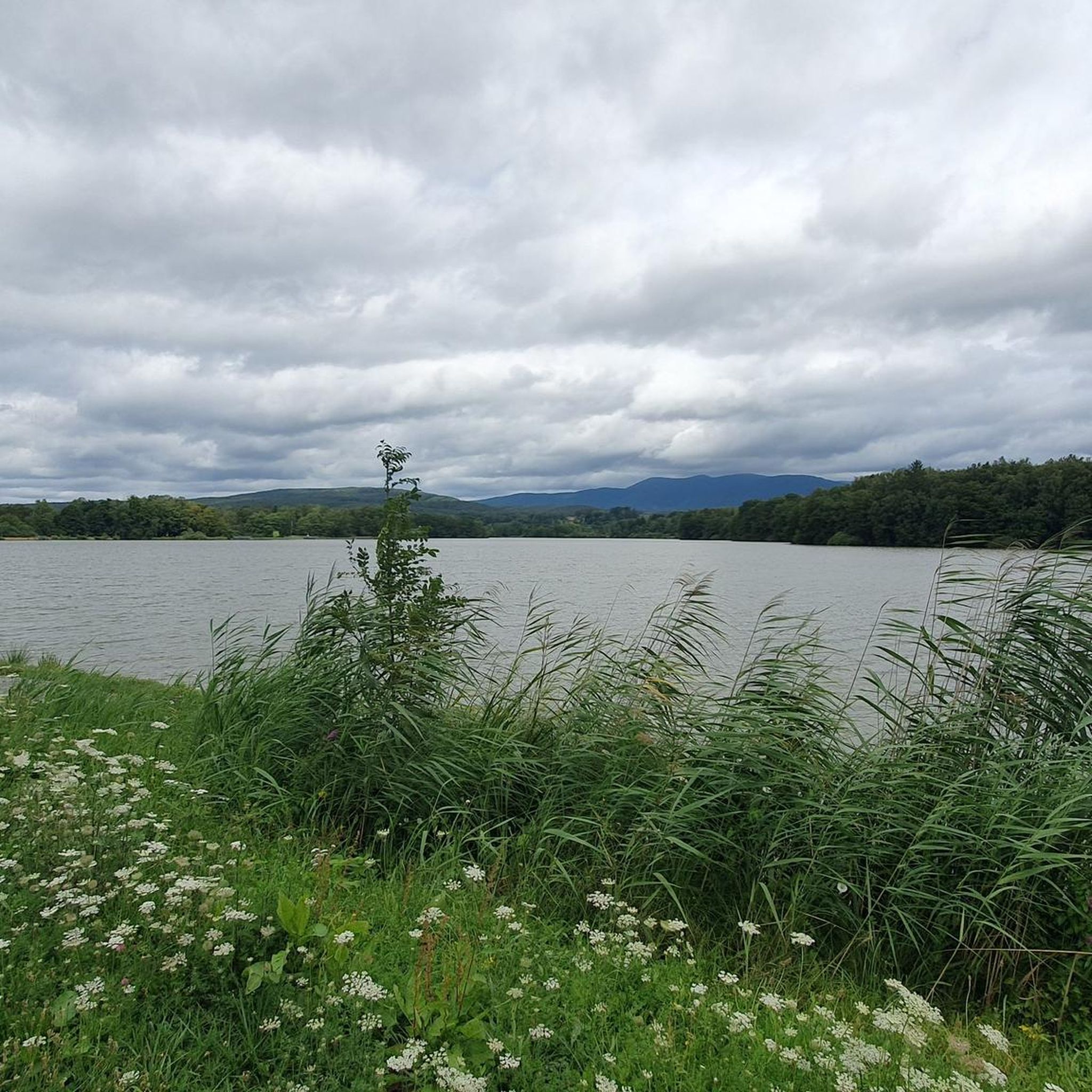
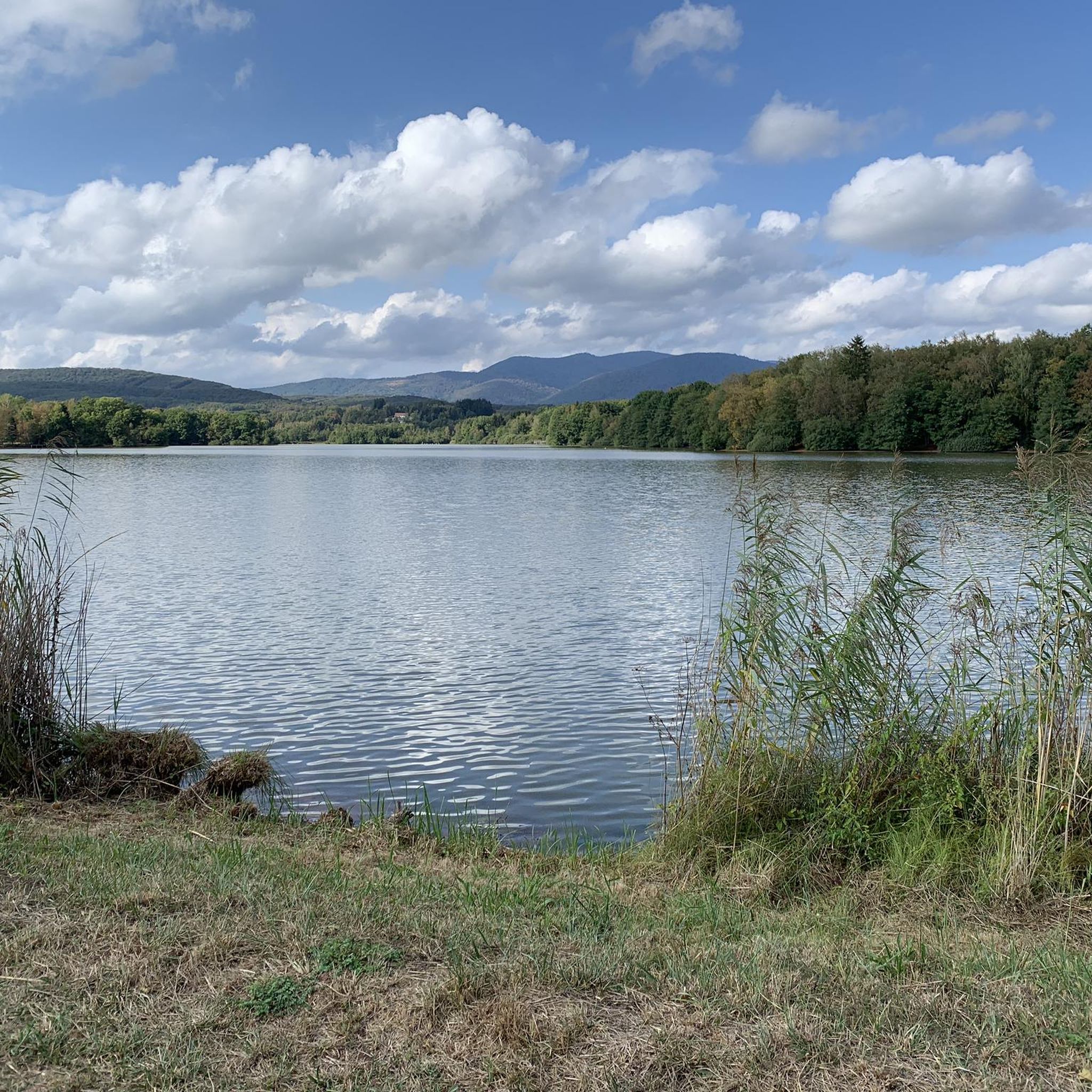
Gravel biking around Étang Du Malsaucy offers diverse landscapes characterized by the largest body of water in the Territoire de Belfort, surrounded by numerous smaller ponds and wetlands. The terrain includes well-maintained paths, wooded sections, and fields, with views extending towards the Vosges mountains. The area provides a mix of flat sections around the lake and varied elevations as routes extend into the surrounding countryside.
Best gravel bike trails around Étang Du Malsaucy
- The most popular gravel bike trail is Lac du Malsaucy – Malsaucy cycling link loop from Bas-Evette, a 19.6 miles (31.6 km) trail that takes 2 hours 29 minutes to complete. This moderate route connects the lake with local cycling paths.
- Another top favourite among local gravel bikers is Lac du Malsaucy – Véronne Pond loop from Lachapelle-sous-Chaux, a moderate 16.2 miles (26.0 km) path. This route features varied terrain around the lake and through the surrounding area.
- Local gravel bikers also love the Fort Senarmont, Bessoncourt – Fort de Vézelois loop from Belfort, a 20.1 miles (32.3 km) trail leading through historical sites and natural areas, often completed in about 2 hours 5 minutes.
- Gravel biking around Étang Du Malsaucy is defined by the main lake, surrounding ponds, and proximity to the Vosges mountains. The network offers options for easy, moderate, and difficult routes, catering to various ability levels.
- The routes in Étang Du Malsaucy are highly rated by the komoot community with an average score of 4.75 stars from over 7 reviews. More than 114 gravel bikers have used komoot to explore Étang Du Malsaucy's varied terrain.
Last updated: July 3, 2026
4.0
(1)
16
riders
64.0km
03:52
530m
530m
Hard gravel ride. Very good fitness required. Mostly paved surfaces. Suitable for all skill levels.
5.0
(4)
28
riders
Hard gravel ride. Very good fitness required. Mostly paved surfaces. Suitable for all skill levels.

Sign up for free
5.0
(3)
13
riders
34.1km
02:08
250m
250m
Hard gravel ride. Good fitness required. You may need to push your bike for some segments of this route.
5.0
(1)
19
riders
45.7km
03:11
1,070m
1,070m
Hard gravel ride. Very good fitness required. Mostly paved surfaces. Suitable for all skill levels.
11
riders
77.4km
05:05
810m
810m
Hard gravel ride. Very good fitness required. You may need to push your bike for some segments of this route.
Get access to more routes and recommendations from other explorers.
Sign up for free
Already have an account?
Our route recommendations are based on thousands of hikes, rides, and runs completed by other people on komoot.
Start today with a free account
Your next adventure awaits.
Login or Signup

Other adventures around Étang Du Malsaucy

Tips from the Community

If you like to hurt and question gravity, this is the right place.
0
0
It starts gently... but that's just the beginning.
0
0
Long hesitated to do it. Short but very hard, with the Pinot turn and the last ramp of the super board to tell yourself that it's really hard.
0
0

very beautiful route!!! drive slowly!! watch out for pedestrians
0
0

Beautiful sculpture and coat of arms of Belfort, below the fortress.
0
0


A "chemin de halage", in German "treidelpfad", which runs alongside the waterway right next to the bed of the river or canal, was an indispensable part of the transport infrastructure in earlier times. Before ships could move using motor power, horses ran along the bank and pulled the ship against the current. This was called "treideln", and this is how the "treidelpfads" got their name, which has been passed down to this day. Where these paths directly on the bank have been preserved, they are often used by hikers and cyclists.
0
1
Frequently Asked Questions
What kind of terrain can I expect on gravel bike trails around Étang Du Malsaucy?
The terrain around Étang Du Malsaucy is quite varied. You'll find well-maintained paths, wooded sections, and open fields. The area is characterized by the main lake and numerous smaller ponds, offering a mix of flat sections near the water and varied elevations as routes extend into the surrounding countryside, with views towards the Vosges mountains.
Are there gravel bike routes suitable for beginners or families in Étang Du Malsaucy?
Yes, Étang Du Malsaucy offers routes for various ability levels, including easy options. While the guide highlights some moderate and difficult routes, there are 3 easy routes available. The "Promenade François Mitterrand" is an 8 km scenic, low-elevation route suitable for casual cyclists and families, winding through wooded paths and fields near the Vosges mountains.
What are some challenging gravel bike routes in the area?
For those seeking a challenge, there are 18 difficult routes around Étang Du Malsaucy. A notable difficult route is the Malsaucy cycling link – Lac du Malsaucy loop from Lachapelle-sous-Chaux, which covers 27.5 miles (44.2 km) and features varied terrain. Further afield, the La Planche des Belles Filles – Ballon de Servance loop from Giromagny offers a significant challenge with over 2000m of elevation gain.
What natural features or landmarks can I see along the gravel bike trails?
The region is rich in natural beauty. You can explore the main lake and dozens of smaller surrounding ponds, which are vital habitats for migratory birds. The "Sentier des Étangs" (Ponds Trail) is a 10 km loop that passes many of these ponds. Bird observatories are strategically placed for nature observation. The area also offers scenic views, including glimpses of the Vosges mountains.
Is Étang Du Malsaucy suitable for dog-friendly gravel biking?
While the guide doesn't specify dog-friendly routes, the natural environment with extensive trails and open spaces around the lake and ponds generally makes it a pleasant area for outdoor activities with dogs, provided they are kept under control and local regulations are followed, especially in protected areas like the LPO Refuge.
Are there any swimming spots accessible from the gravel bike routes?
Yes, Étang Du Malsaucy is known for its nautical base, which offers supervised swimming during the summer months at its 6,000 square meter public beach. This provides a great opportunity for a refreshing dip after a ride.
What is the best time of year to go gravel biking in Étang Du Malsaucy?
The area is generally pleasant for gravel biking from spring through autumn. Summer offers the added benefit of supervised swimming at the lake. Spring and autumn provide cooler temperatures and beautiful scenery, especially with changing foliage. Always check local weather conditions before heading out.
How many gravel bike routes are available in Étang Du Malsaucy?
There are over 39 gravel bike routes available in the Étang Du Malsaucy area, catering to various skill levels from easy to difficult.
What do other gravel bikers say about the trails in Étang Du Malsaucy?
The area is highly rated by the komoot community, with an average score of 4.3 stars from over 12 reviews. Over 160 gravel bikers have used komoot to explore Étang Du Malsaucy's varied terrain, often praising the diverse landscapes and well-maintained paths.
Are there any loop routes for gravel biking around Étang Du Malsaucy?
Yes, many routes are designed as loops. For example, the Lac du Malsaucy – Malsaucy cycling link loop from Bas-Evette is a popular moderate loop connecting the lake with local cycling paths. Another option is the Lake Malsaucy – Lac du Malsaucy loop from Lachapelle-sous-Chaux, which leads through the lake's perimeter and nearby natural areas.
Where can I find parking for gravel biking near Étang Du Malsaucy?
The Étang Du Malsaucy area is a popular recreational site, and parking facilities are generally available, especially near the main lake and its nautical base. Specific parking information for individual routes can often be found on the respective komoot tour pages.
Is public transport available to reach the gravel biking trails?
Yes, the area is accessible by public transport. There are dedicated bike paths leading from Belfort (connecting to the EuroVelo 6 route) and Sermamagny (linking to Giromagny and the Vosges mountains), which can be used to reach the Étang Du Malsaucy area and its gravel biking trails.
Most popular routes around Étang Du Malsaucy

Get inspired with the komoot mobile app


Explore more
Browse the best Gravel rides in other regions.
