The best gravel rides around Montfoort
4.9
(82)
706
riders
3
rides
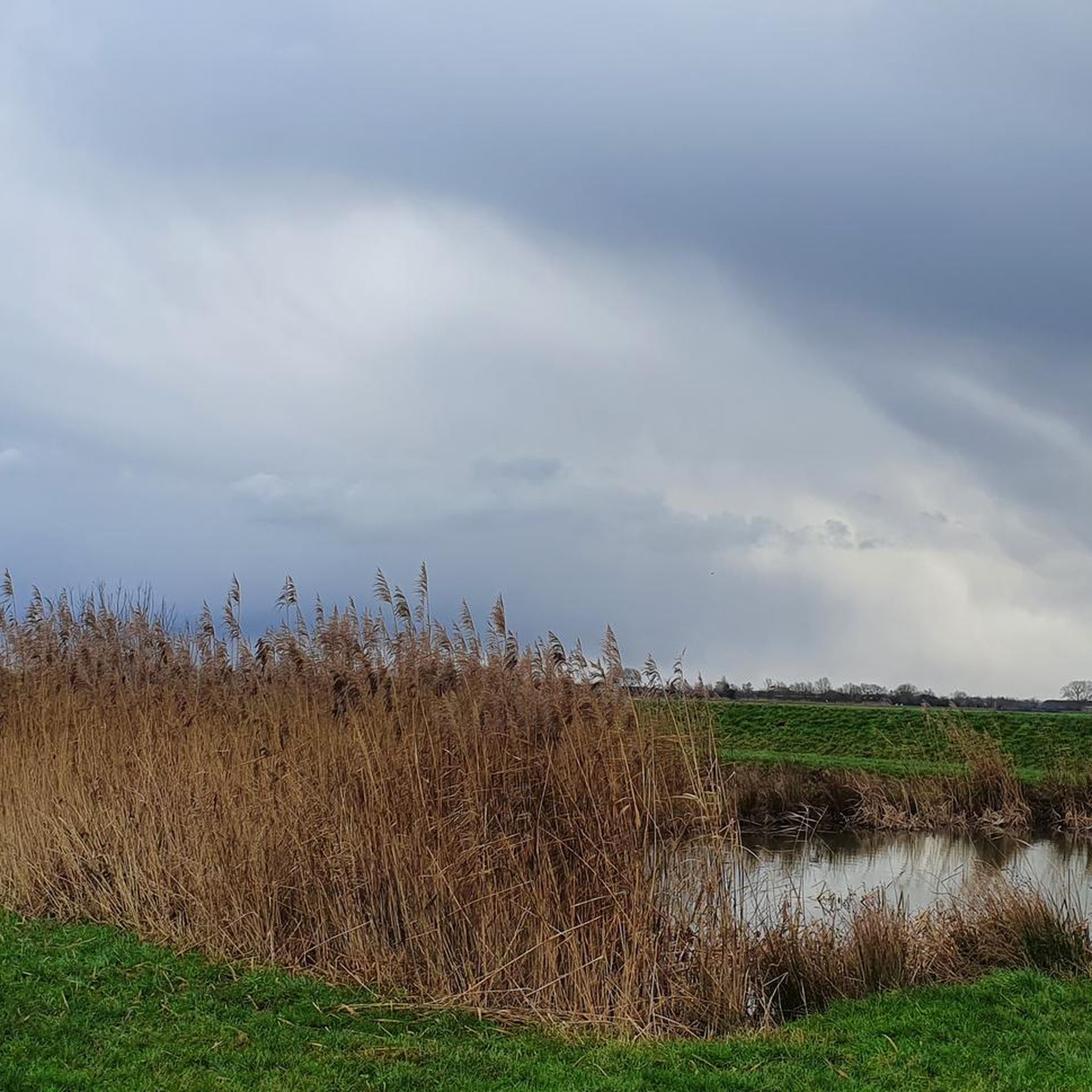
Gravel biking around Montfoort offers routes through the "Green Heart" region of the Dutch province of Utrecht. This area is characterized by expansive farmlands, intricate networks of ditches, and historic Dutch windmills. The terrain is predominantly flat to gently rolling, providing extended rides through a tranquil countryside setting. These landscapes offer a varied backdrop for cycling, suitable for different skill levels.
Best gravel bike trails around Montfoort
- The most popular gravel bike trail is Oudegracht, Utrecht – Roedenlaan Gravel Path loop from Utrecht Centraal, a 33.2 miles (53.5 km) trail that takes 2 hours 39 minutes to complete. This route traverses open farmlands typical of the Green Heart region.
- Another top favourite among local gravel bikers is Up and down along Bornia – MTB Singletrack Zeist loop from Utrecht Vaartsche Rijn, a moderate 29.5 miles (47.5 km) path. This trail features views of the region's extensive waterways and polder landscapes.
- Local gravel bikers also love the Roedenlaan Gravel Path – Hoorneboeg Heath loop from Maarssen, a 34.5 miles (55.6 km) trail leading through flat agricultural areas, often completed in about 2 hours 47 minutes.
- Gravel biking around Montfoort is defined by expansive farmlands, intricate networks of ditches, and historic Dutch windmills. The network offers options for different ability levels, from moderate to difficult.
- The routes in Montfoort are highly rated by the komoot community with an average score of 4.7 stars from over 80 reviews. More than 800 gravel bikers have used komoot to explore Montfoort's varied terrain.
Last updated: July 3, 2026
4.7
(81)
614
riders
53.5km
02:41
100m
100m
Moderate gravel ride. Good fitness required. Mostly paved surfaces. Suitable for all skill levels.
5.0
(1)
76
riders
56.8km
02:50
100m
100m
Moderate gravel ride. Good fitness required. Mostly paved surfaces. Suitable for all skill levels.

Sign up for free
16
riders
Moderate gravel ride. Good fitness required. Mostly paved surfaces. Suitable for all skill levels.
Our route recommendations are based on thousands of hikes, rides, and runs completed by other people on komoot.
Start today with a free account
Your next adventure awaits.
Login or Signup
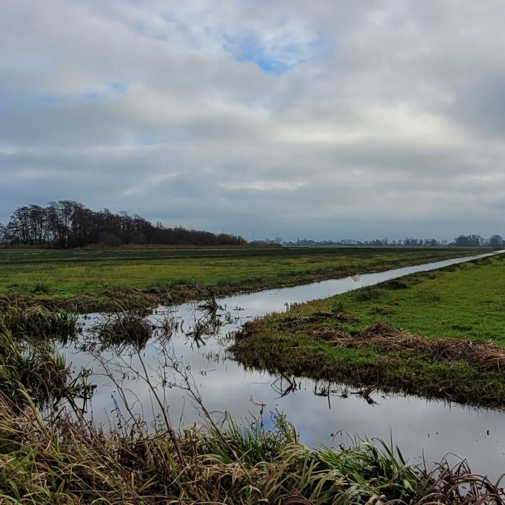
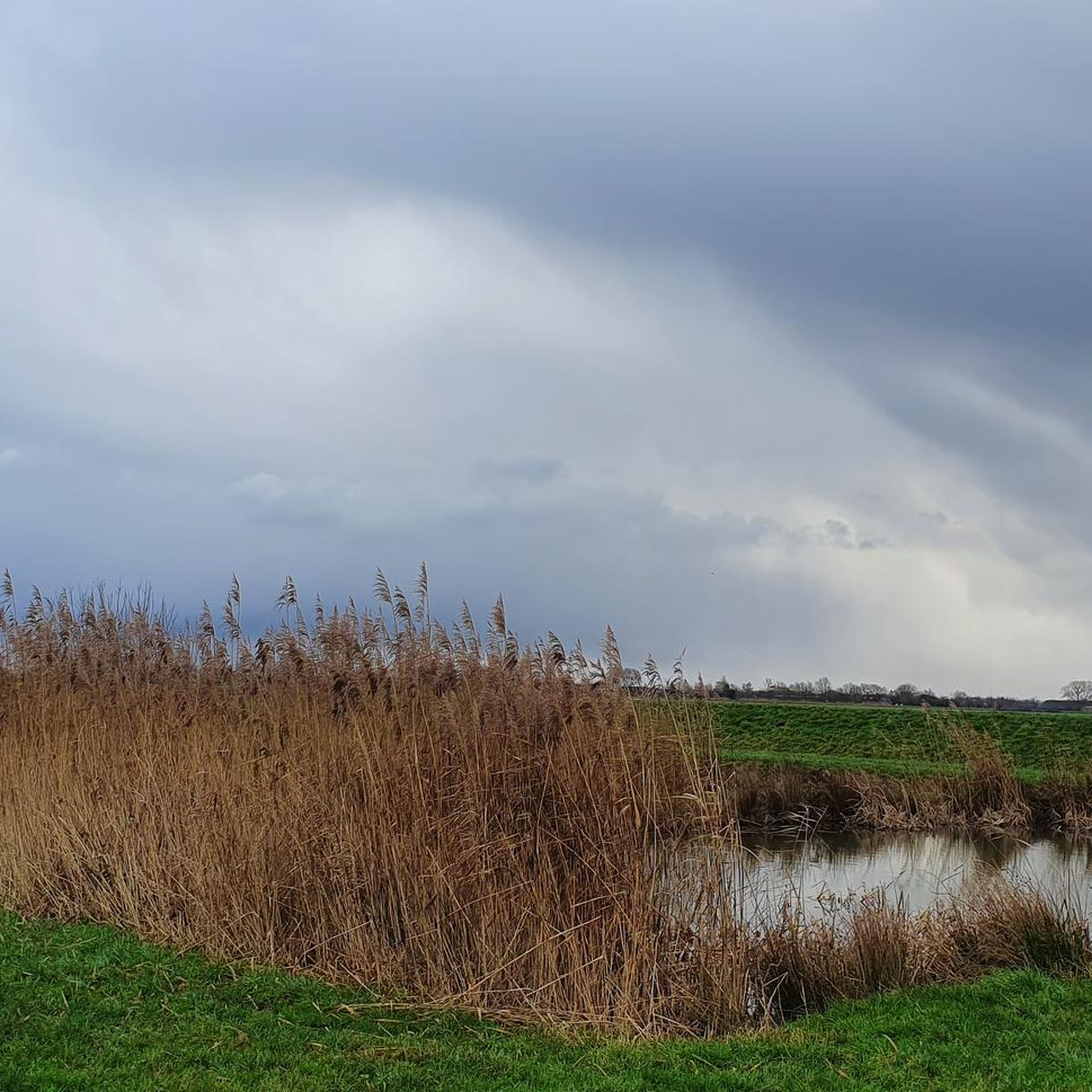
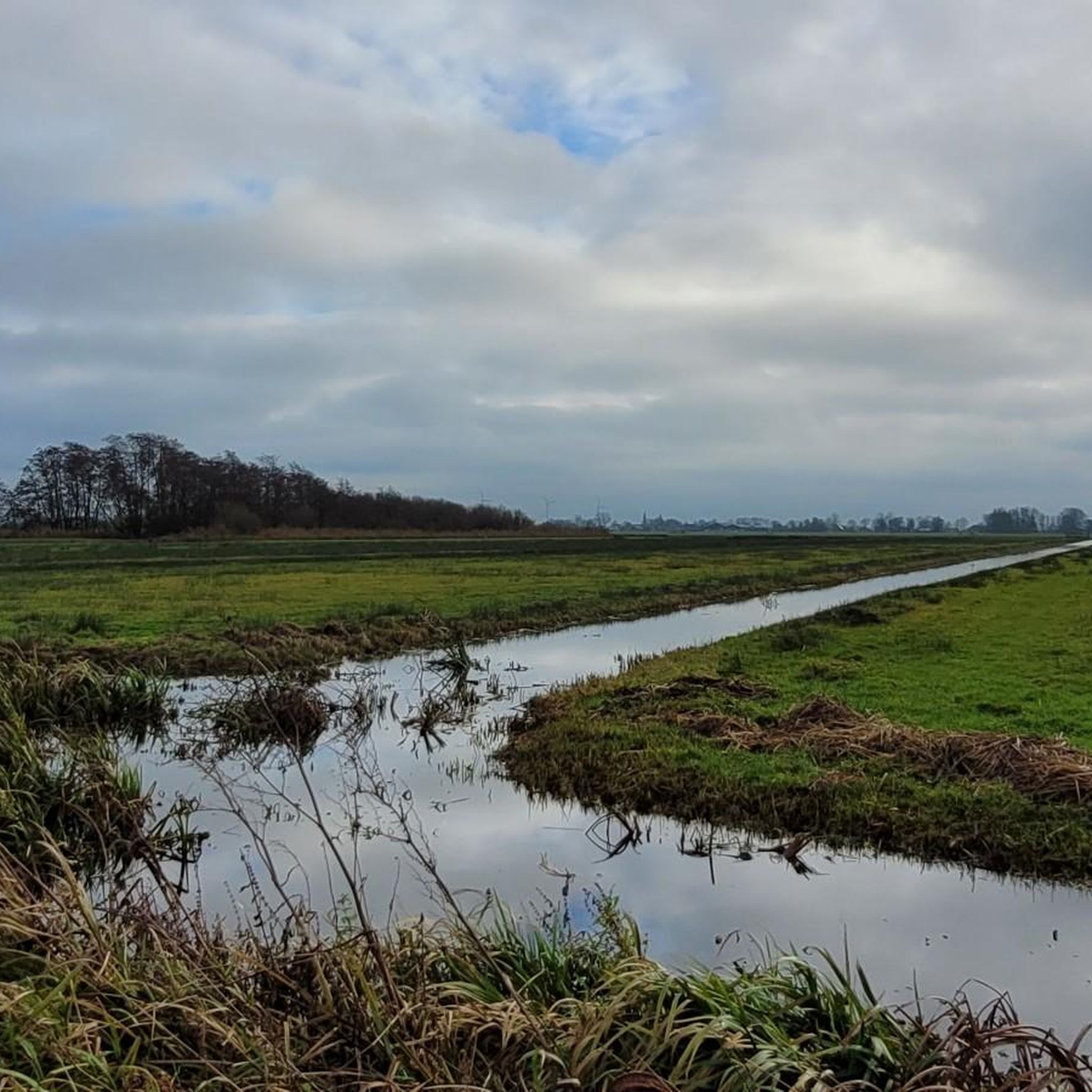
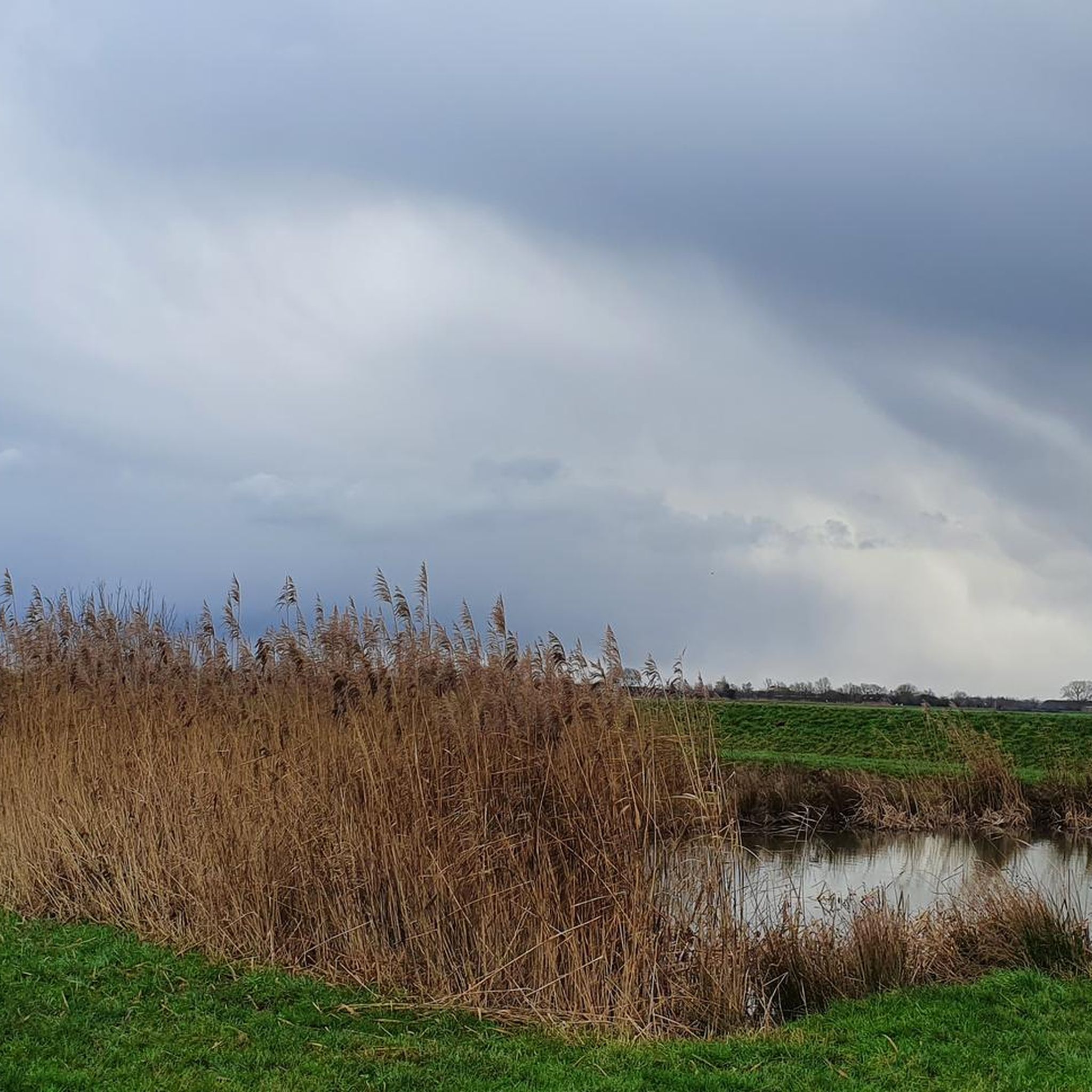
Tips from the Community

Enjoy one of the delicious homemade cakes here.
0
0

The drainage of the Breukelerveen and Tienhoven water board was originally carried out by two barges (built in 1649 and 1684) at the northern end of the Scheendijk-Noord in Breukelen. They discharged their water directly south of the Weersluis lock into the Vecht River. The mills were shut down in 1830 and demolished in 1840. By that time, the area of the Loosdrechtse Plassen had been created by peat extraction. In the eastern corner of Tienhoven, the land remained in agricultural use, and the farmers there suffered from significant flooding. They joined forces, established the Oostelijke Binnenpolder (Eastern Inner Polder), and had their own mill built, which discharged water into the Breukeleveen and Loosdrechtse Plassen. The necessary land was purchased in 1831, and the mill and adjacent lock were put into operation in 1833. It is suspected that an old upper house (from a demolished mill) was used in its construction. (https://www.molens.nl/ontdek-molens/alle-molens/de-trouwe-wachter-te-tienhoven)
2
0
The origin of this boulder is not entirely clear. However, you can easily test for yourself on site whether it actually bleeds when you prick it.
3
0


The Dutch really have a wide and well-maintained cycling network.
2
0

Beautiful landscape at sunrise...
0
0

That it can be a bit busy here sometimes seems inevitable to me. That's what you get with such a beautiful spot.
0
0

This mill was used to drain the Polder Tienhoven from 1833 to 1947. The mill owes its name to its role in the Second World War. Since the Second World War, the mill has borne its current name. This is because of the signs that the then miller Arie van Garderen gave with the sails to people in hiding in the area. This is often spelled as "De Trouwe Waghter" but nowadays the normal spelling is used: "De Trouwe Wachter". Before that name came into use, this mill was also called the "Dwarsdijkmolen".
1
0
Frequently Asked Questions
How many gravel bike trails are available around Montfoort?
Montfoort and its surrounding area offer a good selection of gravel bike trails, with over 14 routes available. These routes cater to various skill levels, ranging from moderate to difficult.
What is the general difficulty level of gravel biking routes near Montfoort?
The gravel biking routes around Montfoort are predominantly rated as moderate, with 13 routes falling into this category. There is also one more challenging route for experienced riders. The terrain is generally flat to gently rolling, characteristic of the Dutch Green Heart region.
Are there any circular gravel bike trails in the Montfoort area?
Yes, many of the gravel bike trails around Montfoort are designed as loops, allowing you to start and finish at the same point. For example, the Roedenlaan Gravel Path – Stulpselaan Gravel Path loop from Utrecht Centraal is a popular circular option traversing open farmlands.
What kind of landscapes can I expect to see on a gravel bike ride near Montfoort?
Gravel biking around Montfoort offers classic Dutch landscapes. You'll ride through expansive farmlands, intricate networks of ditches, and past historic Dutch windmills. The area is part of the 'Green Heart' region, providing a tranquil and verdant backdrop for your rides. The Let de Stigterpad – Let de Stigter Path loop from Utrecht Maliebaan, for instance, features extensive waterways and polder landscapes.
Are there any viewpoints or interesting landmarks along the gravel routes?
Yes, the region offers several points of interest. You might encounter historic windmills like the Buitenwegse Mill and Westbroekse Mill, or enjoy views from the Willeskop Observation Tower. The Montfoort Castle ruins and the historic city center also provide scenic breaks and a glimpse into local heritage.
What is the longest gravel bike route available in Montfoort?
One of the longer options is the Maarnseweg Gravel Path – Let de Stigter Path loop from Utrecht Vaartsche Rijn, which spans approximately 109.7 km (68.1 miles) and typically takes around 7 hours 20 minutes to complete. This route leads through flat agricultural areas.
What do other gravel bikers say about the trails in Montfoort?
The gravel biking routes in Montfoort are highly regarded by the komoot community, holding an average rating of 4.6 stars from over 180 reviews. Riders often praise the tranquil countryside, the unique polder landscapes, and the well-maintained paths that allow for extended rides through the Green Heart region.
Are there any routes that pass by lakes or significant waterways?
Yes, the Montfoort area is characterized by its intricate network of waterways. Some routes will take you past features like the Zouweboezem and Polder Achthoven, or along the Vlietdijk along the Reeuwijk Lakes, offering picturesque views of the water-rich landscape.
Can I find routes that are suitable for a family gravel biking trip?
While specific 'family-friendly' designations aren't provided, the generally flat to gently rolling terrain of Montfoort makes many of the moderate routes accessible for families with some cycling experience. The tranquil countryside and absence of significant climbs can make for enjoyable outings. Always check the route details for distance and duration to ensure it suits your family's capabilities.
Are there any gravel routes that start from nearby cities like Utrecht?
Yes, several gravel routes are designed to start from locations like Utrecht, making them accessible via public transport or from urban centers. For example, the Maarnseweg Gravel Path – Maarnseberg loop from Utrecht Maliebaan offers a convenient starting point for exploring the Montfoort region.
What is the best time of year for gravel biking in Montfoort?
The flat terrain of Montfoort makes it suitable for gravel biking throughout much of the year. Spring and autumn offer pleasant temperatures and beautiful scenery with blooming fields or colorful foliage. Summer can be great, but be prepared for potentially warmer weather. Even in winter, with appropriate gear, the routes can be enjoyable, though some paths might be muddier.
Are there any routes that feature historical sites or castles?
The region is rich in history. While the Montfoort Castle itself is largely ruins, its remains and the historic city center are worth exploring. Further afield, the impressive De Haar Castle is another significant historical landmark that can be incorporated into longer rides or visited separately.
Most popular attractions around Montfoort

Get inspired with the komoot mobile app


Explore more
Browse the best Gravel rides in other regions.
