The best gravel rides around Ijsselstein
4.9
(82)
706
riders
1
ride
Gravel biking around Ijsselstein offers routes through the largely rural "Groene Hart" region of the Netherlands. The area is characterized by expansive peat meadows, intricate water systems, and open polder landscapes, providing wide-open views. While predominantly flat, some gravel bike trails incorporate minor elevation changes, offering varied terrain for cyclists. The region's extensive cycling infrastructure connects natural beauty with historical towns and cultural landmarks.
Best gravel bike trails around Ijsselstein
- The most popular gravel bike trail is Oudegracht, Utrecht –…
Last updated: July 3, 2026
4.7
(81)
614
riders
53.5km
02:41
100m
100m
Moderate gravel ride. Good fitness required. Mostly paved surfaces. Suitable for all skill levels.
5.0
(1)
76
riders
56.8km
02:50
100m
100m
Moderate gravel ride. Good fitness required. Mostly paved surfaces. Suitable for all skill levels.

Sign up for free
16
riders
Moderate gravel ride. Good fitness required. Mostly paved surfaces. Suitable for all skill levels.
Our route recommendations are based on thousands of hikes, rides, and runs completed by other people on komoot.
Start today with a free account
Your next adventure awaits.
Login or Signup
Popular around Ijsselstein
Peace and quiet in the middle of the Randstad – Groene Hartpad (SP 12)
Making kilometers on the clog path - 10 long circular walks
Discover the Utrecht Region
Road Cycling Routes around Ijsselstein
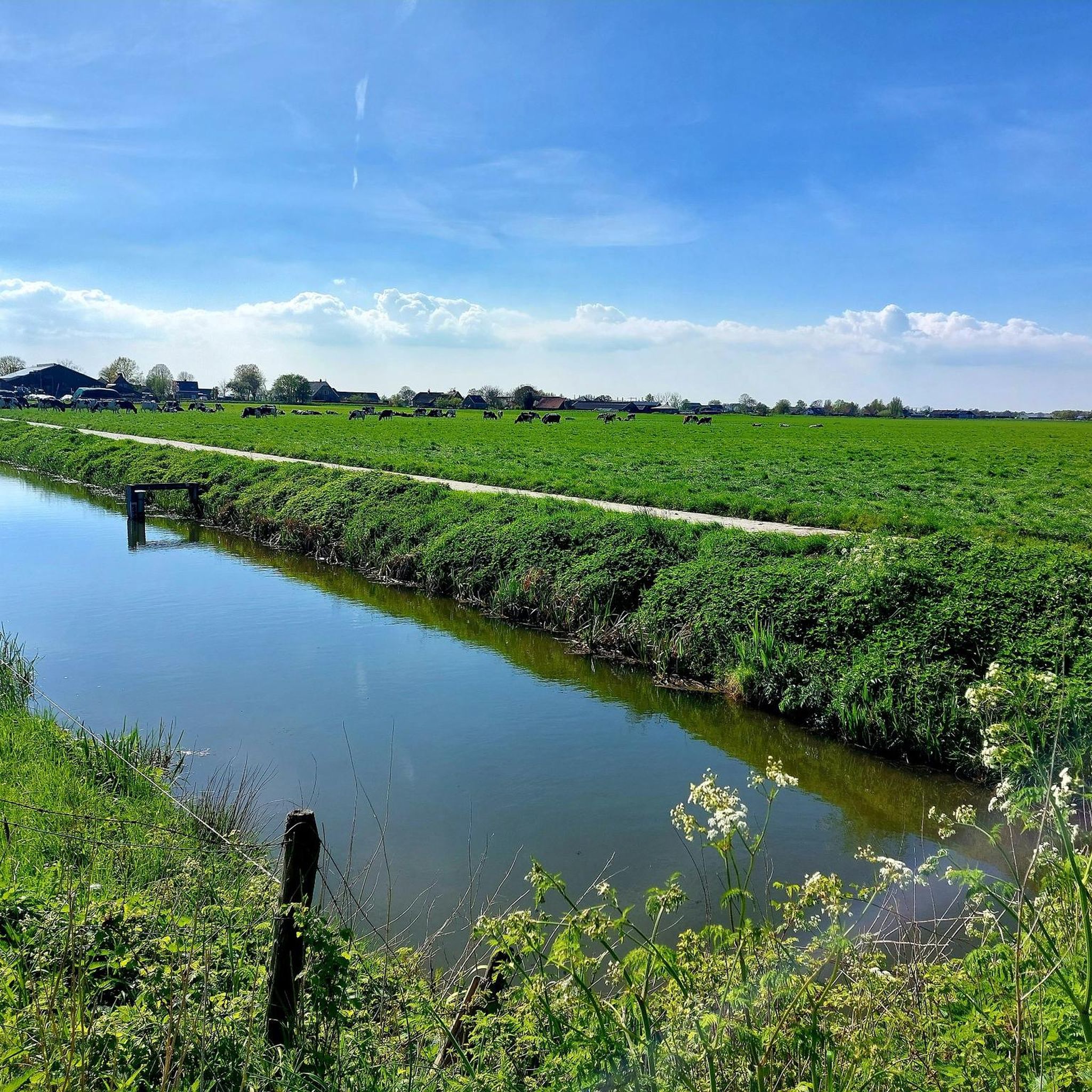
Hiking around Ijsselstein
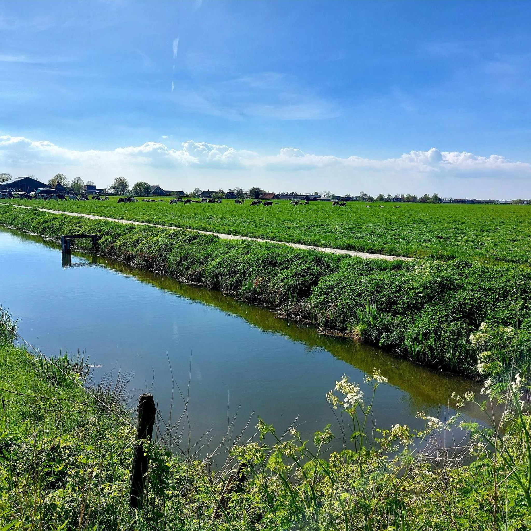
Cycling around Ijsselstein
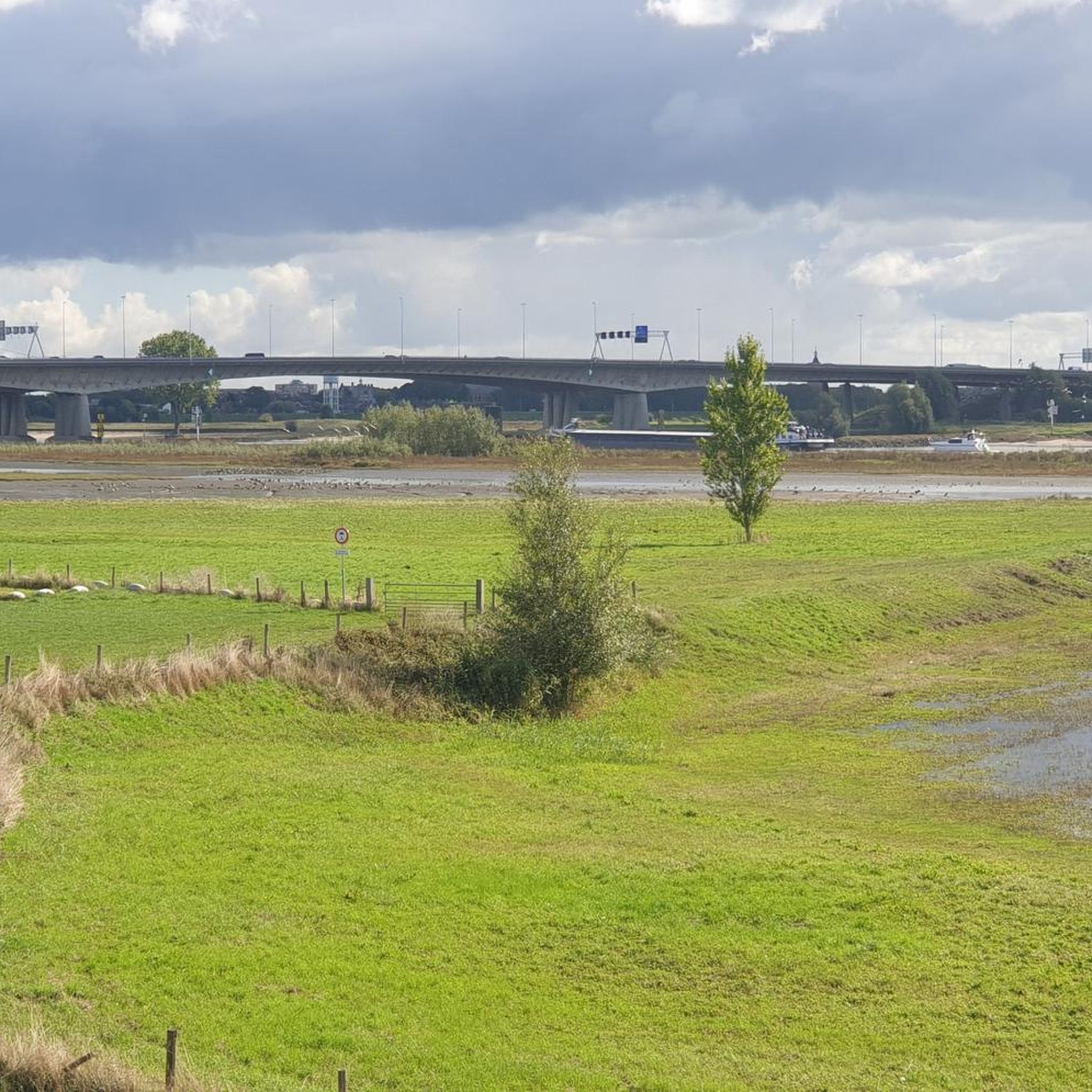
Running Trails around Ijsselstein
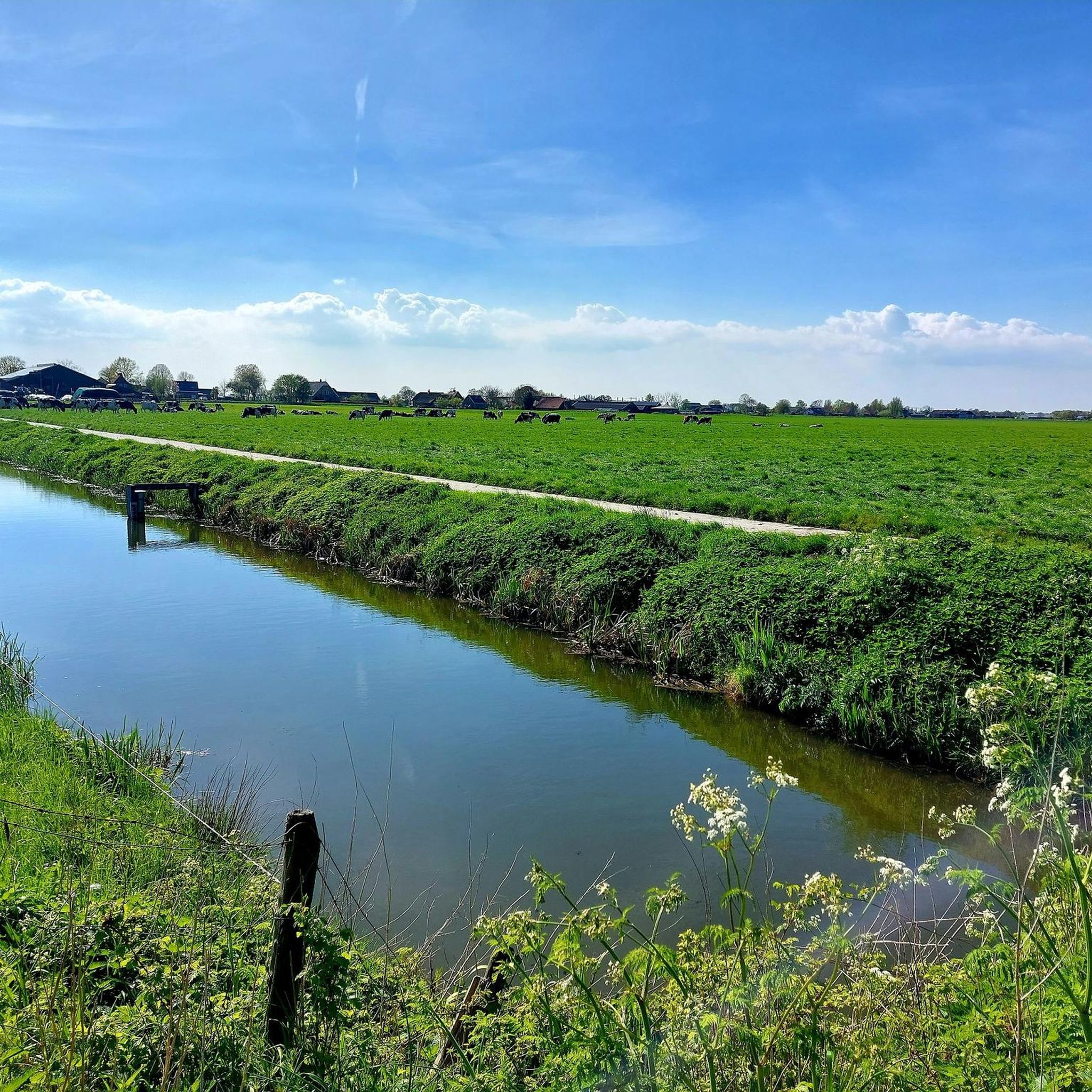
MTB Trails around Ijsselstein


Tips from the Community

Enjoy one of the delicious homemade cakes here.
0
0

The drainage of the Breukelerveen and Tienhoven water board was originally carried out by two barges (built in 1649 and 1684) at the northern end of the Scheendijk-Noord in Breukelen. They discharged their water directly south of the Weersluis lock into the Vecht River. The mills were shut down in 1830 and demolished in 1840. By that time, the area of the Loosdrechtse Plassen had been created by peat extraction. In the eastern corner of Tienhoven, the land remained in agricultural use, and the farmers there suffered from significant flooding. They joined forces, established the Oostelijke Binnenpolder (Eastern Inner Polder), and had their own mill built, which discharged water into the Breukeleveen and Loosdrechtse Plassen. The necessary land was purchased in 1831, and the mill and adjacent lock were put into operation in 1833. It is suspected that an old upper house (from a demolished mill) was used in its construction. (https://www.molens.nl/ontdek-molens/alle-molens/de-trouwe-wachter-te-tienhoven)
2
0
The origin of this boulder is not entirely clear. However, you can easily test for yourself on site whether it actually bleeds when you prick it.
3
0


The Dutch really have a wide and well-maintained cycling network.
2
0

Beautiful landscape at sunrise...
0
0

That it can be a bit busy here sometimes seems inevitable to me. That's what you get with such a beautiful spot.
0
0

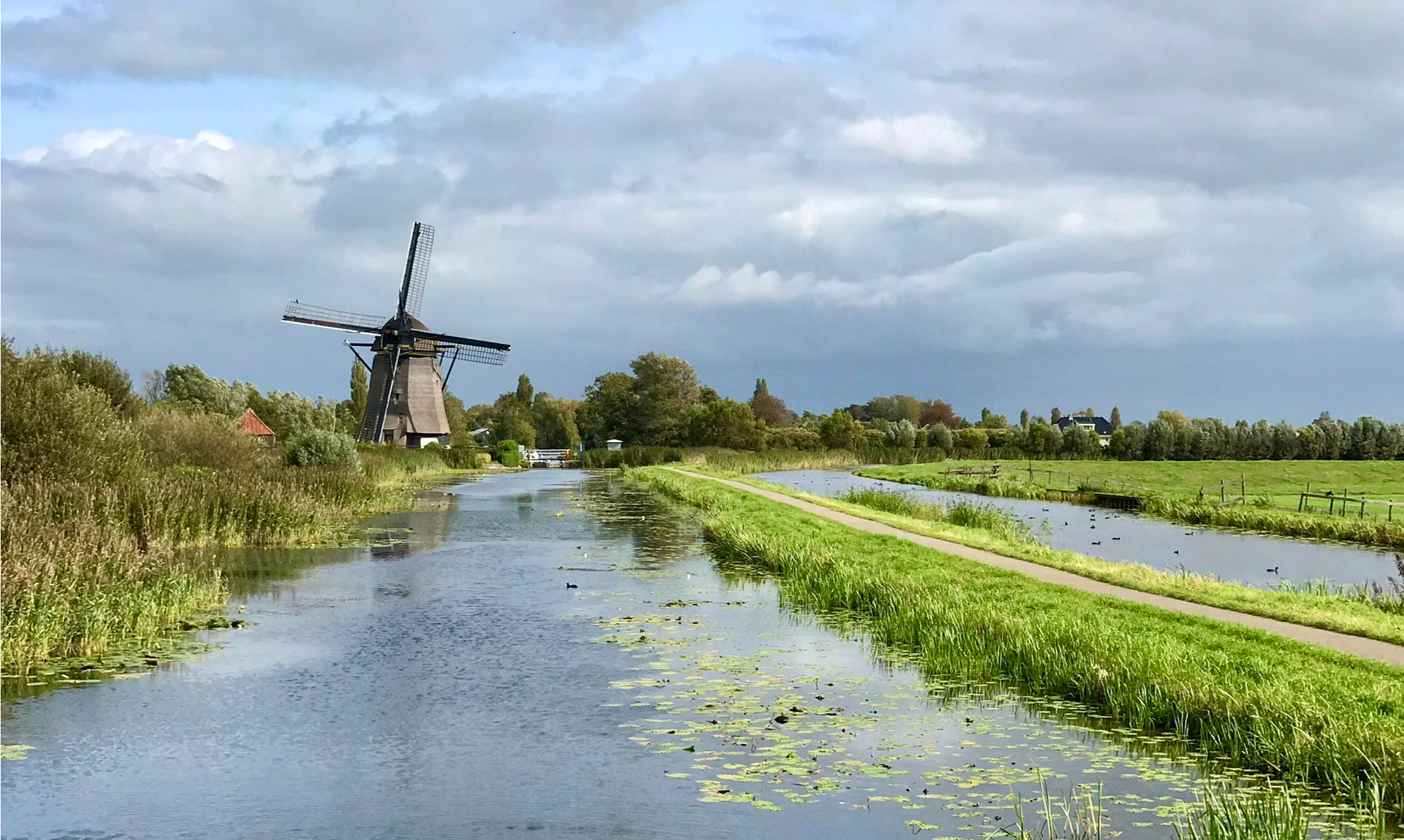
This mill was used to drain the Polder Tienhoven from 1833 to 1947. The mill owes its name to its role in the Second World War. Since the Second World War, the mill has borne its current name. This is because of the signs that the then miller Arie van Garderen gave with the sails to people in hiding in the area. This is often spelled as "De Trouwe Waghter" but nowadays the normal spelling is used: "De Trouwe Wachter". Before that name came into use, this mill was also called the "Dwarsdijkmolen".
1
0
Frequently Asked Questions
How many gravel bike trails are available around Ijsselstein?
There are over 25 gravel bike trails around Ijsselstein listed on komoot, offering a variety of experiences through the Groene Hart region. These routes are highly rated by the komoot community, with an average score of 4.6 stars from more than 200 reviews.
Are there challenging gravel routes in the Ijsselstein area?
Yes, while much of the region is relatively flat, there are routes that offer more challenging distances and elevation gains. For instance, the Maarnseweg Gravel Path – Let de Stigter Path loop from Utrecht Vaartsche Rijn is a difficult 109.7 km trail with significant elevation changes, often taking over 7 hours to complete. Another challenging option is the Up and down along Bornia – View of the Kromme Rijn area loop from Utrecht Vaartsche Rijn, which is 47.5 km long and also rated as difficult.
What kind of landscapes can I expect on gravel rides near Ijsselstein?
Gravel biking around Ijsselstein primarily takes you through the expansive 'Groene Hart' (Green Heart) region. You'll experience peaceful scenery of meadows, water, and open polder landscapes, often along the Hollandse IJssel river. The area is characterized by its unique peat meadows and historical waterways, offering a blend of natural beauty and cultural elements.
Are there any family-friendly gravel bike routes in Ijsselstein?
Many routes in the Ijsselstein area are suitable for families, especially those that stick to the flatter, well-maintained paths through the Groene Hart. The region's gentle terrain and scenic views make it ideal for leisurely rides. While specific 'family-friendly' routes aren't explicitly categorized, moderate-difficulty routes with shorter distances would be a good starting point for families.
What are some interesting sights or attractions along the gravel trails?
The routes often pass by historical towns and natural features. You might encounter historic mills like the Buitenwegse Mill or the Westbroekse Mill. For natural beauty, consider routes near the Drowned Forest or the Willeskop Observation Tower. The Willeskop Birdwatching Area is another highlight for nature enthusiasts. The historic city center of Ijsselstein itself also offers charming canals and buildings.
Can I find circular gravel bike routes around Ijsselstein?
Yes, many of the gravel routes around Ijsselstein are designed as loops, allowing you to start and end at the same point. For example, the Roedenlaan Gravel Path – Stulpselaan Gravel Path loop from Utrecht Centraal is a popular 53.2 km circular route through the open landscapes of the Groene Hart.
What is the best time of year for gravel biking in Ijsselstein?
Ijsselstein's temperate maritime climate, with mild winters and cool summers, makes it suitable for gravel biking throughout much of the year. Spring and autumn offer pleasant temperatures and beautiful scenery, while summer provides longer daylight hours. Even in winter, conditions are often mild enough for riding, though some paths might be wetter.
Are there places to stop for food or drinks along the routes?
Yes, the region embraces the 'Fietsen voor je eten!' (Bike for your food!) concept, meaning you can often find roadside stalls, nurseries, farms, and small shops selling fresh produce and local treats directly along your route. Additionally, routes often connect to historical towns where cafes and restaurants are available.
How can I access the gravel trails using public transport?
Many routes in the wider Ijsselstein area are accessible from major public transport hubs. For example, the Let de Stigterpad – Let de Stigter Path loop from Houten Castellum starts near a train station, making it convenient for those arriving by public transport. Routes originating from Utrecht Centraal or Utrecht Vaartsche Rijn also offer good public transport connections.
What makes gravel biking in Ijsselstein unique compared to other regions?
Gravel biking in Ijsselstein is unique due to its location within the 'Groene Hart' (Green Heart) of the Netherlands. This means you'll experience a distinctive landscape of expansive peat meadows, historic waterways like the Hollandse IJssel river, and open polder landscapes. The blend of natural beauty with historical towns and the 'Fietsen voor je eten!' concept offers a culturally rich cycling experience.
Are there any routes that explore the historic 'Utrechtse Waarden' area?
Yes, the region research indicates that a captivating GPS route winds through the Utrechtse Waarden, an area known for its unique peat meadow landscapes and historical significance. This route often passes through charming towns like Linschoten, Montfoort, and Oudewater, offering a rich historical and natural experience for gravel bikers.
Most popular routes around Ijsselstein
Most popular attractions around Ijsselstein

Get inspired with the komoot mobile app


Explore more
Browse the best Gravel rides in other regions.
