The best gravel rides around Sint-Michielsgestel
4.5
(264)
3,710
riders
16
rides
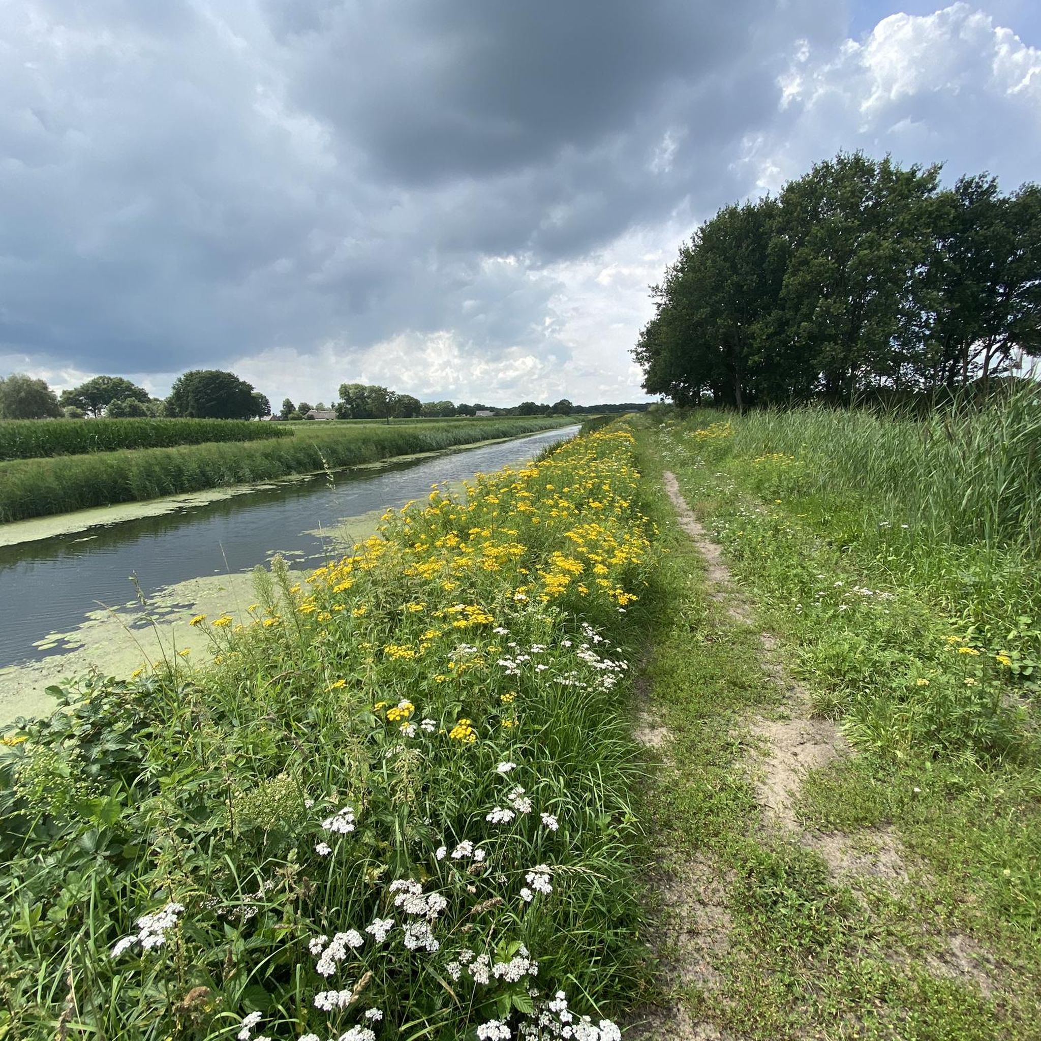
Gravel biking around Sint-Michielsgestel offers routes through a landscape characterized by heathlands, river floodplains, and forested areas. The region features generally flat terrain, with minimal elevation changes, making it accessible for various skill levels. Trails often follow canals and rivers like the Dommel, providing varied scenery. This area is well-suited for exploring the Dutch countryside on gravel bikes.
Best gravel bike trails around Sint-Michielsgestel
- The most popular gravel bike trail is German Line Dommel Bridge – Hooibrug over the Dommel…
Last updated: August 27, 2026
77
riders
Moderate gravel ride. Good fitness required. Mostly paved surfaces. Suitable for all skill levels.
4.0
(1)
32
riders
Hard gravel ride. Good fitness required. You may need to push your bike for some segments of this route.

Sign up for free
5.0
(1)
19
riders
60.0km
03:23
70m
70m
Moderate gravel ride. Good fitness required. Mostly paved surfaces. Suitable for all skill levels.
21
riders
95.1km
05:19
100m
100m
Hard gravel ride. Very good fitness required. Mostly paved surfaces. Suitable for all skill levels.
4.0
(1)
22
riders
Moderate gravel ride. Good fitness required. Mostly paved surfaces. Suitable for all skill levels.
Get access to more routes and recommendations from other explorers.
Sign up for free
Already have an account?
Our route recommendations are based on thousands of hikes, rides, and runs completed by other people on komoot.
Start today with a free account
Your next adventure awaits.
Login or Signup
Popular around Sint-Michielsgestel
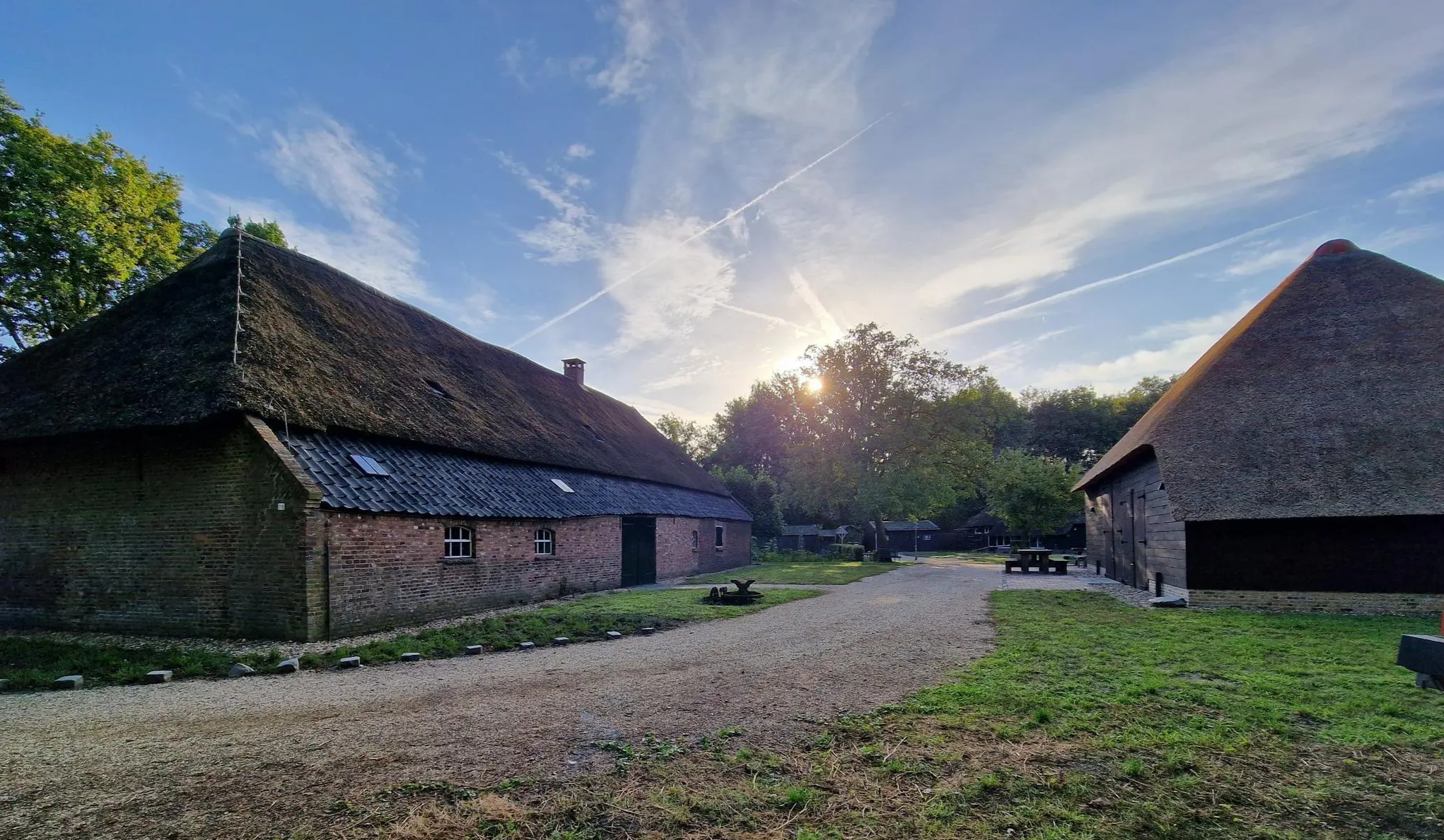
Four versatile Brabant – Nature camping route Noord-Brabant
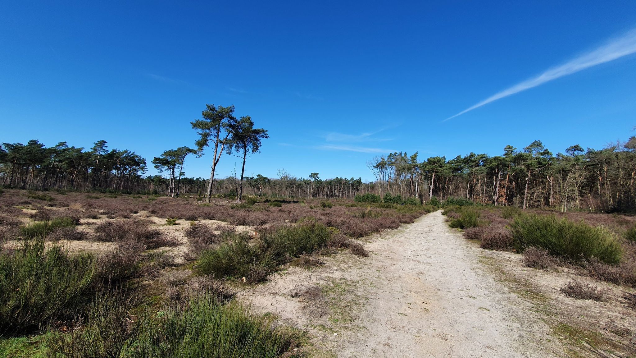
The varied landscapes of the Netherlands – the Hertogenpad
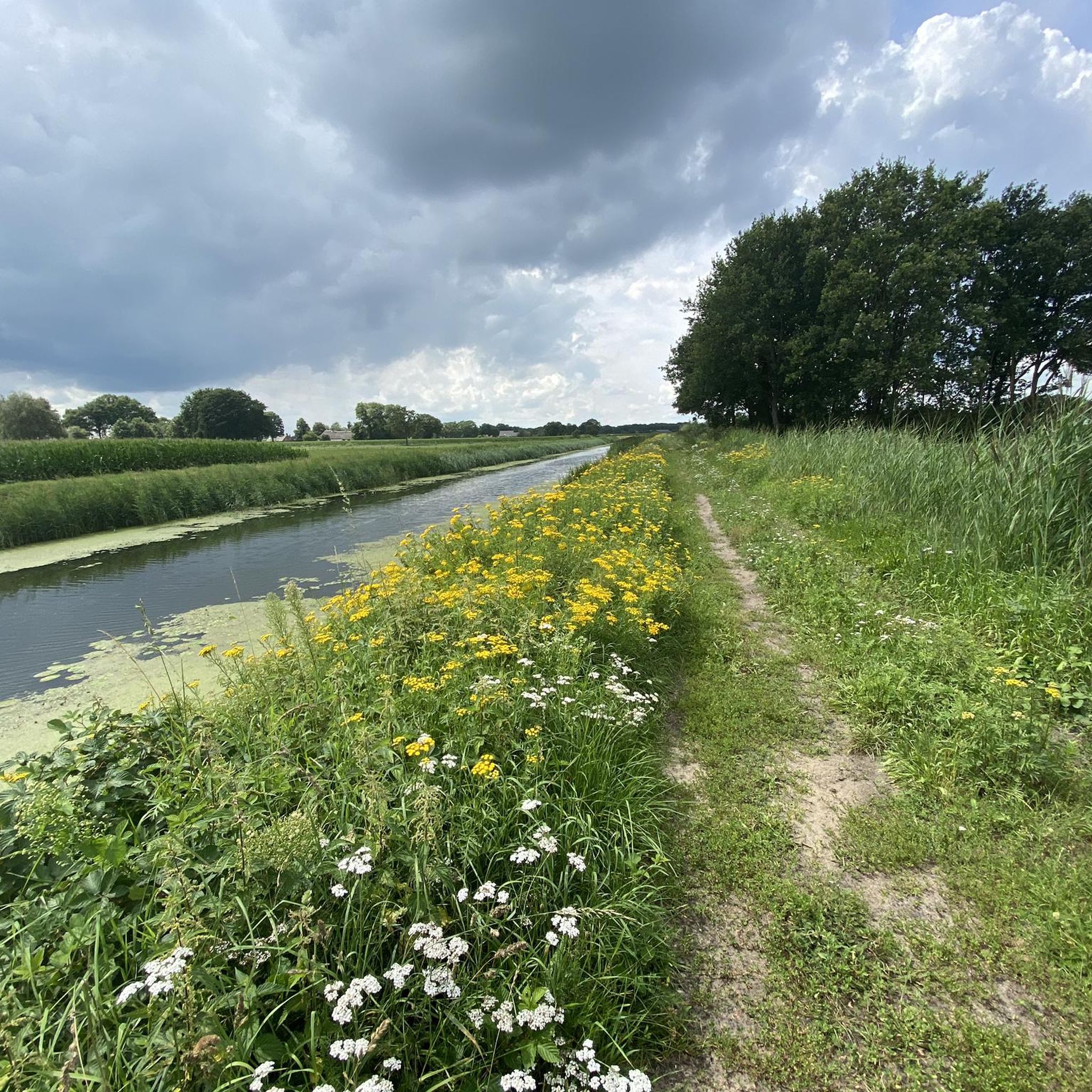
Hiking around Sint-Michielsgestel
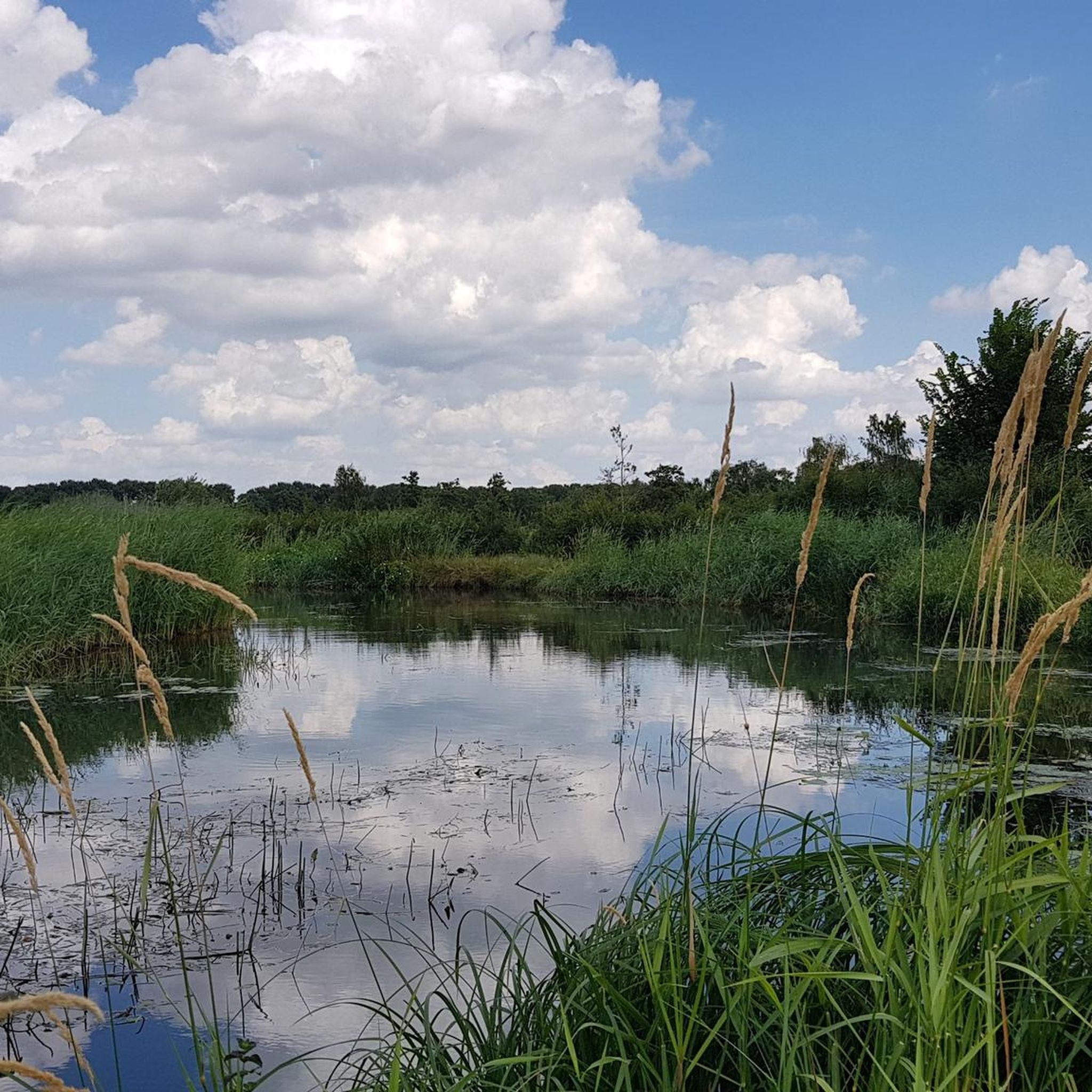
Cycling around Sint-Michielsgestel
Road Cycling Routes around Sint-Michielsgestel
Running Trails around Sint-Michielsgestel
MTB Trails around Sint-Michielsgestel

Tips from the Community


It was definitely like savannah. Amazing fast fietspads all around and in the forest. Trees and hills cut the wind and grant you a priceless experience.
0
0

Part of the valuable Liberation Route.
0
0

This is the Dommel, the river over which a hay bridge has stood for centuries. Now, the bridge is part of a beautiful walking and cycling route. It used to be a functional crossing for farmers who grazed cattle and brought in crops on both sides of the Dommel.
1
0

Is it just me or is this segment the wrong way round in the GPS, shouldn't it be a west to east direction?
0
0

This magnificent cathedral took over 300 years to build. It boasts an impressive 115 meters in length and a 73-meter-high tower. Its exterior is remarkably ornately decorated.
1
0

nice point with steps to enjoy the views
0
0

Mege is located in the province of Brabant, near the Meuse River. Emapel/Empel Lock: In the region between Venlo and 's-Hertogenbosch, there are waterways with locks; Empel is a district of 's-Hertogenbosch in North Brabant. A lock there could be part of the Zuid-Willemsvaart Canal or the Meuse-Waal water systems.
0
0
Frequently Asked Questions
How many gravel bike trails are available in Sint-Michielsgestel?
There are over 190 gravel bike routes around Sint-Michielsgestel, offering a wide variety of options for different skill levels and preferences. You'll find approximately 38 easy, 112 moderate, and 40 difficult trails.
What kind of terrain and scenery can I expect on gravel bike routes in Sint-Michielsgestel?
The region is characterized by generally flat terrain, with minimal elevation changes, making it accessible for various skill levels. You'll ride through diverse landscapes including heathlands, river floodplains, and forested areas. Many trails follow canals and rivers like the Dommel, providing varied and scenic views.
Are there family-friendly gravel bike routes in Sint-Michielsgestel?
Yes, the predominantly flat terrain and numerous easy routes make Sint-Michielsgestel suitable for family outings. Look for routes with shorter distances and less technical sections. For example, the area offers around 38 easy tours perfect for a relaxed ride.
What are the typical distances and elevation changes on gravel routes here?
Gravel routes in Sint-Michielsgestel vary in distance, with many popular options ranging from 45 km to 80 km. Due to the flat Dutch landscape, elevation changes are generally minimal. For instance, the Maximakanaal – Bridge Over the Grote Wetering loop from Middelrode is about 47 km with only around 45 meters of elevation gain.
Are there any challenging gravel bike trails for experienced riders?
While the region is generally flat, there are around 40 routes classified as difficult, offering longer distances and potentially more varied surfaces to challenge experienced gravel bikers. These routes often explore larger nature reserves or connect multiple scenic areas.
What do other gravel bikers enjoy most about the routes in Sint-Michielsgestel?
The routes in Sint-Michielsgestel are highly rated by the komoot community, with an average score of 4.3 stars from over 200 reviews. Riders often praise the quiet woodlands, well-maintained gravel paths, and the scenic beauty of the heathlands and river landscapes.
Can I find circular gravel bike routes in the area?
Yes, many gravel bike routes in Sint-Michielsgestel are designed as loops, allowing you to start and end at the same point. An example is the Haanwijk Lane (gravel) – Hooibrug over the Dommel loop from Vught, which offers a moderate 45 km circular ride.
Are there any interesting landmarks or natural attractions along the gravel bike trails?
Yes, the region offers several points of interest. You can encounter historical sites like Heeswijk Castle or Nemerlaer Castle. For natural beauty, routes might pass by serene lakes such as Palingven or Kogelvangersven, offering picturesque spots to pause.
When is the best time of year to go gravel biking in Sint-Michielsgestel?
Spring and autumn are generally ideal for gravel biking in Sint-Michielsgestel, offering pleasant temperatures and beautiful scenery as nature awakens or changes colors. Summer can also be great, especially on cooler days, while winter rides are possible but may involve colder temperatures and potentially wet or muddy conditions on some unpaved sections.
Are there any gravel routes that pass through forests or natural reserves?
Absolutely. Many routes take you through forested areas and natural reserves. The Forest trail in De Maashorst – De Zwaan Mill, Vinkel loop from Rosmalen is a prime example, leading through extensive woodlands and offering a true escape into nature.
Is it possible to access gravel trails using public transport?
While many routes start from towns or villages accessible by public transport, direct access to specific trailheads might require a short ride from the nearest bus or train station. It's advisable to check local public transport connections to your chosen starting point beforehand.
Where can I find parking for gravel biking routes in Sint-Michielsgestel?
Many gravel routes start from villages or towns where public parking is available, often near local amenities or nature reserve entrances. When planning your ride, check the starting point of your chosen komoot Tour for specific parking suggestions or look for designated parking areas in nearby communities.
Most popular routes around Sint-Michielsgestel
Most popular attractions around Sint-Michielsgestel

Get inspired with the komoot mobile app


Explore more
Browse the best Gravel rides in other regions.
