The best gravel rides around Monthelon
5.0
(3)
48
riders
16
rides
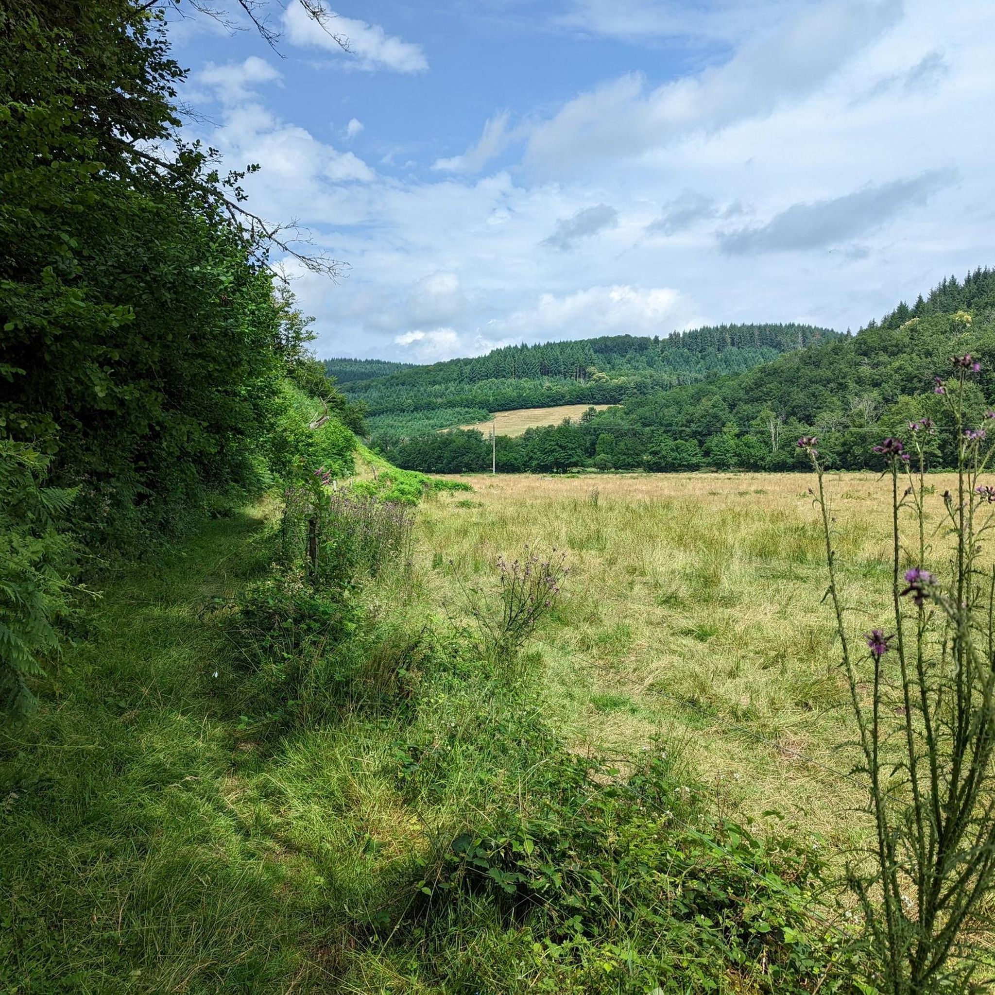
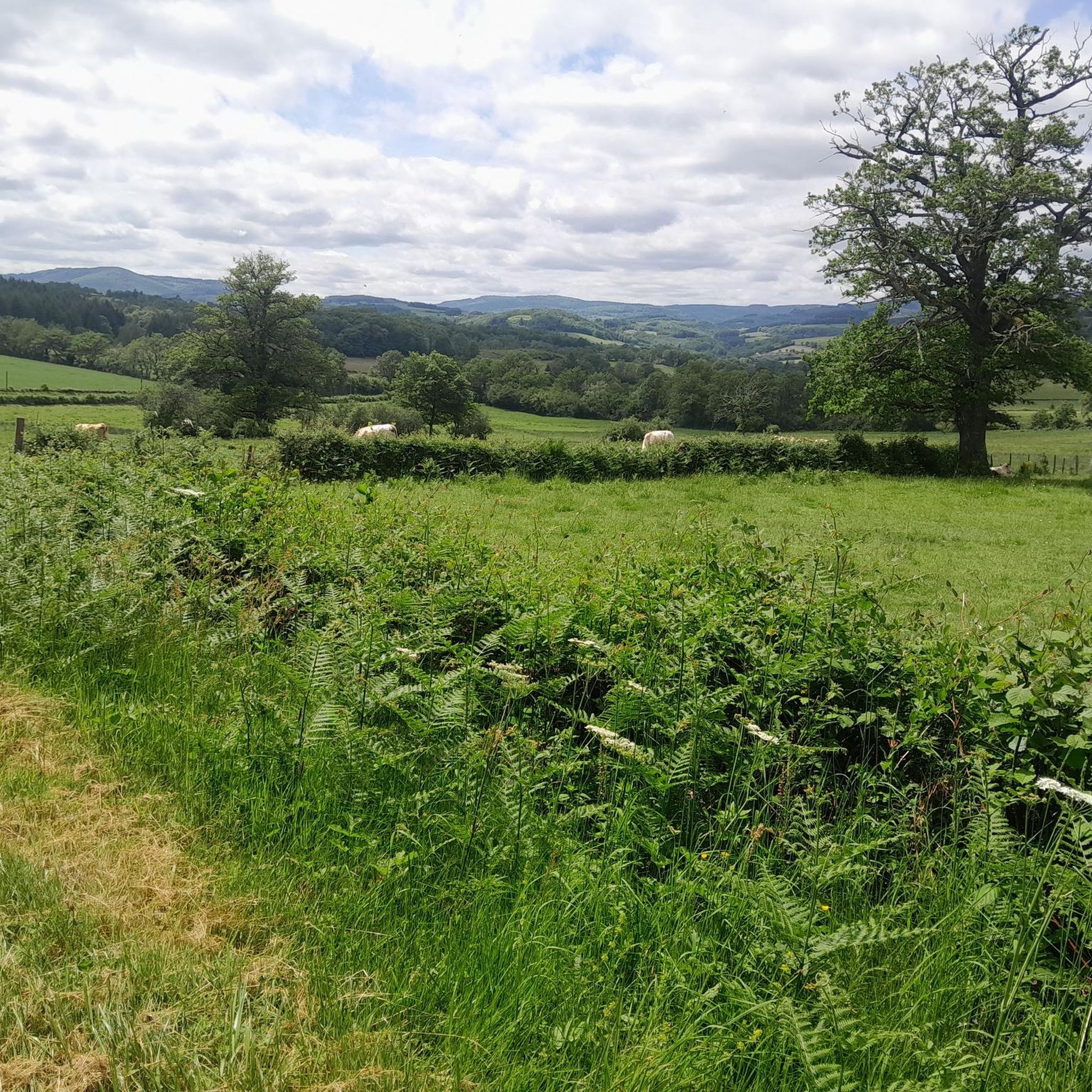
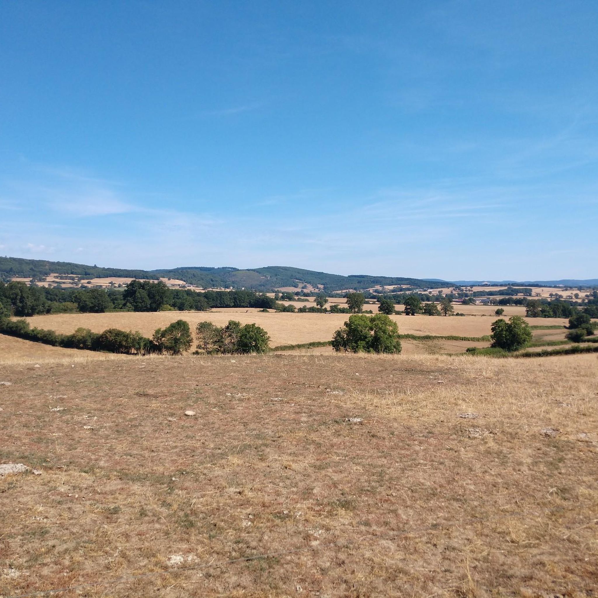
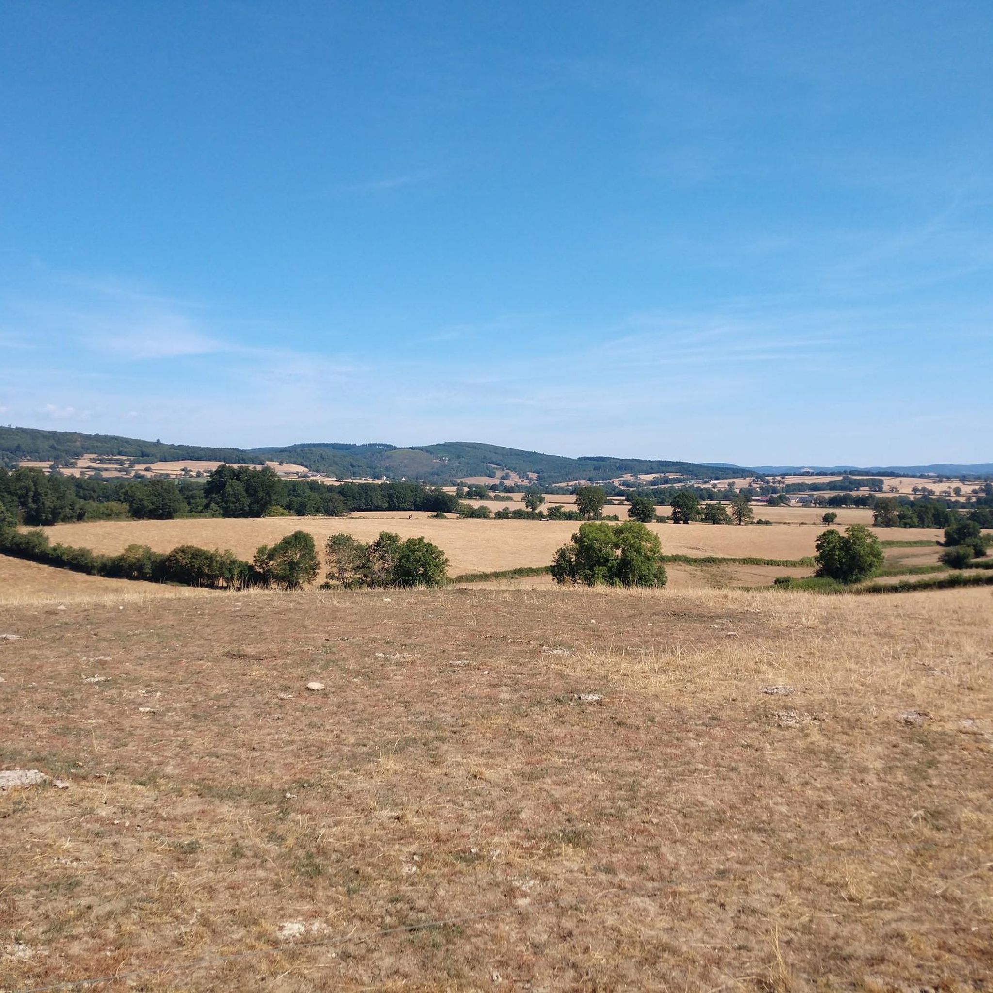
Gravel biking around Monthelon offers a diverse landscape characterized by rolling hills, dense woodlands, and river valleys. The region features a mix of paved and unpaved paths, including forest tracks and quiet country roads suitable for gravel bikes. Elevations vary, providing both challenging climbs and more gradual sections. The terrain is primarily rural, with routes often connecting small villages and historical sites.
Best gravel bike trails around Monthelon
- The most popular gravel bike trail is Rebout Pass – Mont Beuvray…
Last updated: July 3, 2026
5.0
(1)
6
riders
109km
08:26
2,430m
2,430m
Hard gravel ride. Very good fitness required. You may need to push your bike for some segments of this route.
5.0
(2)
3
riders
89.4km
06:42
1,220m
1,220m
Hard gravel ride. Very good fitness required. Mostly paved surfaces. Suitable for all skill levels.

Sign up for free
6
riders
50.1km
03:57
900m
900m
Hard gravel ride. Very good fitness required. Mostly paved surfaces. Suitable for all skill levels.
6
riders
29.7km
02:34
610m
610m
Hard gravel ride. Very good fitness required. Mostly paved surfaces. Suitable for all skill levels.
3
riders
42.1km
02:55
470m
470m
Hard gravel ride. Very good fitness required. Mostly paved surfaces. Suitable for all skill levels.
Get access to more routes and recommendations from other explorers.
Sign up for free
Already have an account?
Our route recommendations are based on thousands of hikes, rides, and runs completed by other people on komoot.
Start today with a free account
Your next adventure awaits.
Login or Signup
Tips from the Community

Here is the route for the ascent of Mont Beuvray from the Col du Rebout, a one-way road, only possible in this direction.
1
0

Located at 668 meters in the Nièvre department, the commune of Glux-en-Glenne is the highest in Burgundy. It is home to the European archaeological center of Bibracte and is the site of the listed Mont-Préneley and Sources de l’Yonne.
0
0

In the village you have a nice bakery, cafe, hotel-restaurant and a shop where you can buy products for pasta, among other things.
0
0
Also open on Sundays. Good quality. My favorite: pain suisse.
1
0

This isn't an aqueduct, but a Roman city gate (Porte d'Arroux). A beautiful entrance to the city.
0
0
A beautiful forest cycle ride, winding through the remains of the Gaulish village of Bibracte! The goal after the Col du Rebout is a one-way loop that descends to Saint-Léger-sous-Beuvray.
0
0

Beautiful ruin that is easily reached with a short walk from the town over simple paths.
1
0

Each of these crosses, which the hiker often encounters in the fields or (as here) on a prominent mountain location high above the city, is a sign of remembrance of the crucifixion and resurrection of Jesus Christ. "Here on earth there is His memory, but in the kingdom of heaven there is His presence: this presence is the joy of those who have already attained salvation. The memory is our consolation, as we are still wanderers and journeying towards our homeland." (Bernard of Clairvaux)
1
0
Frequently Asked Questions
What is the general difficulty level of gravel biking routes in Monthelon?
Gravel biking around Monthelon is primarily characterized by challenging routes. Out of 11 available tours, 9 are rated as difficult, often featuring significant elevation gains and varied terrain. For instance, the Rebout Pass – Mont Beuvray loop from Brion-Laizy covers 67.0 miles (107.8 km) with over 2,300 meters of ascent.
Are there any easier gravel bike trails suitable for beginners in Monthelon?
While most routes are challenging, there are a couple of moderate options available. The Ford on the Méchet🤗 river loop from Saint-Léger-sous-Beuvray is a moderate 11.5 miles (18.5 km) trail, offering a less strenuous experience compared to the more difficult routes in the region.
What is the typical length and duration of gravel bike trails around Monthelon?
The gravel bike trails in Monthelon vary significantly in length and duration. You can find shorter routes like the Ford on the Méchet🤗 river loop from Saint-Léger-sous-Beuvray, which is about 11.5 miles (18.5 km) and takes around 1 hour 50 minutes. Longer, more challenging routes, such as the Rebout Pass – Mont Beuvray loop from Brion-Laizy, can extend up to 67.0 miles (107.8 km) and require nearly 10 hours to complete.
Are there any loop gravel routes available in Monthelon?
Yes, many of the gravel bike routes around Monthelon are designed as loops, allowing you to start and finish at the same point. Examples include the View of Autun – Saint-Lazare Cathedral loop from La Grande-Verrière and the View of Autun – Mont Beuvray loop from Étang, both offering circular journeys through the region's diverse landscapes.
What kind of terrain can I expect on gravel bike trails in Monthelon?
The terrain around Monthelon is diverse, featuring rolling hills, dense woodlands, and river valleys. You'll encounter a mix of paved and unpaved paths, including forest tracks and quiet country roads. Elevations vary, providing both challenging climbs and more gradual sections, often connecting small villages and historical sites.
What can I see along the gravel bike trails in Monthelon?
Many routes offer opportunities to explore historical and natural landmarks. For example, the View of Autun – Saint-Lazare Cathedral loop from La Grande-Verrière provides extensive views and passes near the Cathedral of Autun. Another route, the View of Autun – The Couhard Pyramid loop from Autun, takes you past the ancient Couhard Pyramid.
Are there any viewpoints along the gravel bike routes in Monthelon?
Yes, several routes offer rewarding viewpoints. The region's rolling hills provide natural vantage points. For instance, the View of Autun – Saint-Lazare Cathedral loop from La Grande-Verrière is specifically noted for its extensive views across the Monthelon area. The Couhard Pyramid is also a notable viewpoint.
What do other gravel bikers enjoy the most about gravel biking in Monthelon?
The area is highly rated by the komoot community, with an average score of 5.0 stars from over 3 reviews. Reviewers often praise the diverse landscape, which includes rolling hills, extensive forests, and river crossings, as well as the variety of routes suitable for different ability levels.
How many gravel bike trails are available around Monthelon?
There are over 10 dedicated gravel bike trails available around Monthelon, offering a range of experiences from moderate to difficult. This network provides ample opportunities to explore the region's varied terrain.
Where can I find parking for gravel biking trails in Monthelon?
While specific parking areas are not detailed for every route, many trails begin from villages or towns like Brion-Laizy, La Grande-Verrière, Étang, or Autun. These locations typically offer public parking facilities where you can leave your vehicle before starting your ride.
Is public transport available to reach gravel trails in Monthelon?
Monthelon is a rural area, and public transport options might be limited directly to trailheads. However, larger towns like Autun, which serve as starting points for some routes, may have more accessible public transport connections. It's advisable to check local bus or train schedules for connections to these larger hubs.
What is the best time of year for gravel biking in Monthelon?
The region's climate with rolling hills and woodlands suggests pleasant conditions during spring and autumn, when temperatures are milder and the scenery is vibrant. Summer can also be good, but be prepared for warmer weather. Winter riding might be possible, but trails could be muddy or icy, especially in forested areas.
Most popular attractions around Monthelon

Get inspired with the komoot mobile app


Explore more
Browse the best Gravel rides in other regions.
