The best gravel rides around Cottenchy
4.7
(60)
303
riders
48
rides
Gravel biking around Cottenchy features routes primarily traversing the flat, riverine landscape of the Somme region. The terrain is characterized by towpaths along the Somme River, agricultural plains, and marshlands, including the unique Hortillonnages. While generally low in elevation, some routes include varied sections with moderate climbs. The area offers a mix of long-distance routes suitable for endurance gravel cycling and shorter, more accessible paths.
Best gravel bike trails around Cottenchy
- The most popular gravel bike trail is Lamotte-Brebière lock…
Last updated: July 3, 2026
4.7
(17)
58
riders
46.6km
02:23
110m
110m
Moderate gravel ride. Good fitness required. Mostly paved surfaces. Suitable for all skill levels.
4.6
(11)
50
riders
34.8km
01:51
110m
110m
Easy gravel ride. Great for any fitness level. Mostly paved surfaces. Suitable for all skill levels.

Sign up for free
5.0
(1)
22
riders
85.9km
05:48
620m
620m
Hard gravel ride. Very good fitness required. Mostly paved surfaces. Suitable for all skill levels.
4.7
(3)
23
riders
86.9km
04:30
240m
240m
Moderate gravel ride. Good fitness required. Mostly paved surfaces. Suitable for all skill levels.
5.0
(1)
11
riders
59.1km
03:45
370m
370m
Moderate gravel ride. Good fitness required. Mostly paved surfaces. Suitable for all skill levels.
Get access to more routes and recommendations from other explorers.
Sign up for free
Already have an account?
Our route recommendations are based on thousands of hikes, rides, and runs completed by other people on komoot.
Start today with a free account
Your next adventure awaits.
Login or Signup


Tips from the Community


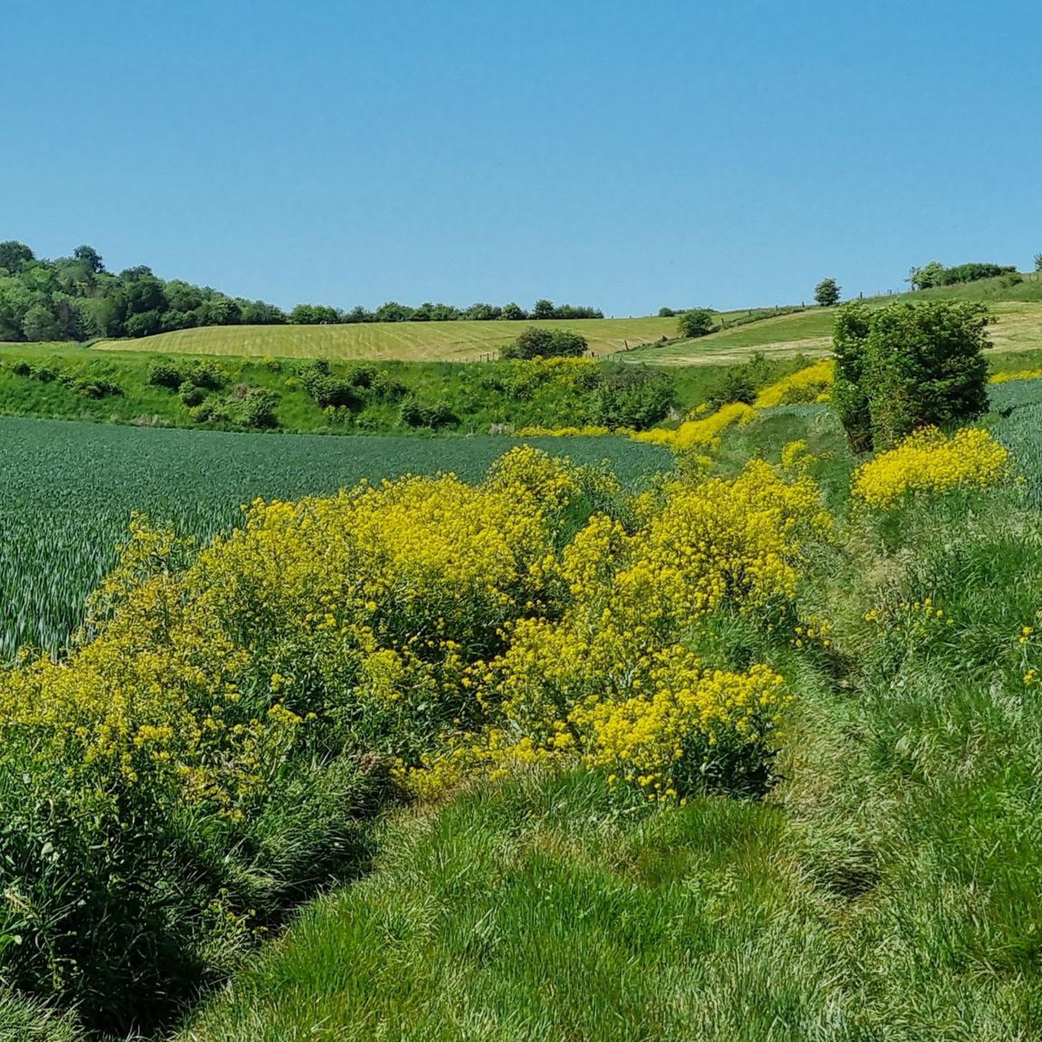
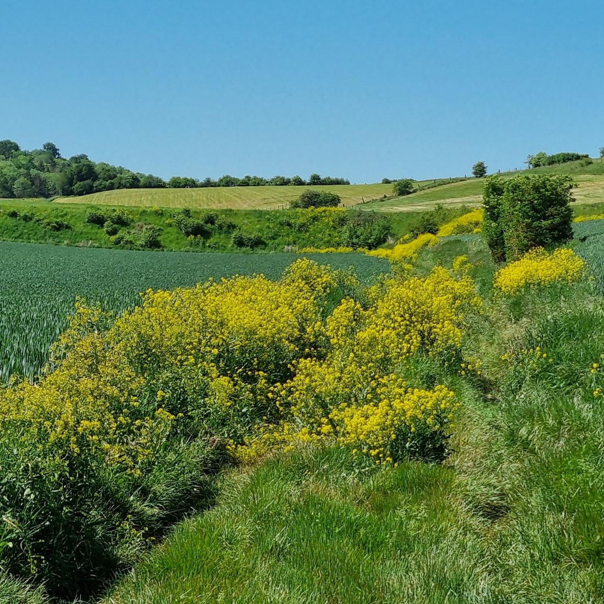
Running spot: beautiful shaded climb that allows you to reach longer trail routes with nice elevation gains.
0
0

This lock also has a fish ladder / bypass.
14
0

The Etang Saint-Ladre Nature Reserve in Boves is located at the gates of Amiens, in the L’Avre Valley, a tributary of the Somme. In 1979, it became the first site in Picardy to be classified as a State Nature Reserve. The ecological management implemented since the 1990s has made it possible to develop a complex mosaic of habitats among the most representative of alkaline peat systems, allowing the expression of characteristic, often heritage, flora and fauna. Find all the information concerning this site here: https://www.cen-hautsdefrance.org/site/rnn-letang-saint-ladre/
0
0

A beautiful place for a walk in nature. The bike path is perfect.
0
0

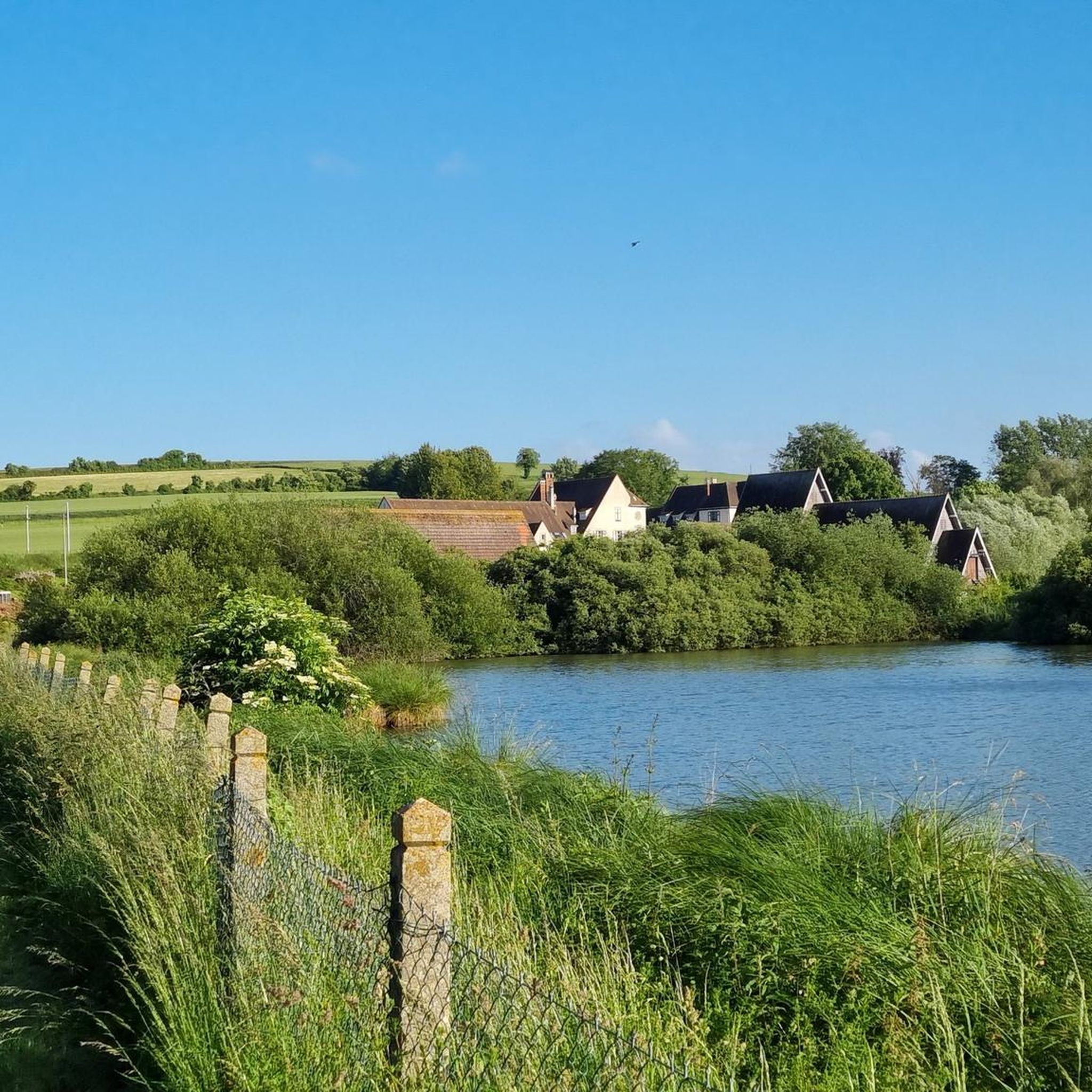
Nice view of the ponds and the villa "Les étangs".
0
0

Well-developed cycle path next to the canal, great thing
0
0

The entire greenway is very well done on gravel. It's a really pleasant path running alongside ponds. It's not as boring as some concrete cycle paths.
1
0
Frequently Asked Questions
What is the general difficulty level of gravel bike trails around Cottenchy?
Gravel biking around Cottenchy offers a range of difficulties. The terrain is primarily flat along river towpaths and agricultural plains, making many routes accessible. However, there are also more challenging options with varied sections and moderate climbs. You'll find 5 easy routes, 47 moderate routes, and 14 difficult routes to choose from.
Are there any family-friendly gravel biking routes in Cottenchy?
Yes, the flat towpaths along the Somme River are generally suitable for families. For a specific option, consider The Hortillonnages – Hortillonne Footbridge loop from Camon. This easy 16.2-mile (26.0 km) route takes you through the unique marsh gardens, offering a pleasant and manageable ride for most skill levels.
What kind of scenery can I expect while gravel biking around Cottenchy?
The routes around Cottenchy are characterized by the picturesque Somme River valley, agricultural plains, and unique marshlands like the Hortillonnages. You'll often ride along scenic towpaths and encounter various locks. Notable natural attractions include the Saint-Ladre Pond Nature Reserve and the Hortillonnages of Amiens.
Are there any interesting landmarks or points of interest along the gravel routes?
Absolutely. Many routes follow the Somme River, where you'll pass by historical structures like the Lamotte-Brebière Locks. The region is also close to significant sites such as the impressive Notre-Dame d'Amiens Cathedral, which can be a great stop before or after your ride.
How long are the gravel cycling routes around Cottenchy?
The routes vary significantly in length. You can find shorter, more accessible paths, such as the 16.2-mile (26.0 km) The Hortillonnages – Hortillonne Footbridge loop from Camon. For those seeking a longer challenge, routes like the 54.2-mile (87.3 km) Lamotte-Brebière lock – Froissy Lock loop from Longueau offer extensive riding through the river valley.
What do other gravel bikers enjoy most about gravel biking in Cottenchy?
The komoot community highly rates the gravel biking experience around Cottenchy, with an average score of 4.3 stars from over 25 reviews. Riders often praise the consistent surfaces of the towpaths, the varied experience connecting multiple locks, and the scenic beauty of the Somme River valley and marshlands.
Are there any advanced or challenging gravel cycling routes in the area?
Yes, for experienced riders looking for a challenge, there are several difficult routes. One such option is the Downhill Chemin Vers Boves – Marsh between the Avre and the Noye loop from Boves, a 34.3-mile (55.3 km) route with significant elevation changes, offering a more demanding ride.
What is the best time of year for gravel biking around Cottenchy?
The region's flat terrain and riverine landscape make it enjoyable for gravel biking through much of the year. Spring and autumn generally offer pleasant temperatures and beautiful scenery. While winter conditions can be ridden, be prepared for potentially muddy sections, especially in marshy areas, and check local weather forecasts.
Are there gravel bike routes around Cottenchy accessible by public transport?
Many routes in the Cottenchy area start from towns like Longueau or Camon, which are typically well-connected by public transport, especially regional trains or buses from larger hubs like Amiens. It's advisable to check local public transport schedules and bike carriage policies for specific routes and starting points.
Where can I find parking for gravel bike trails near Cottenchy?
Starting points for many routes, such as Longueau, often have designated parking areas. For example, routes like Lamotte-Brebière lock – Towpath Along the Somme River loop from Longueau typically begin from locations with accessible parking. Always check the specific tour details on komoot for parking information at the trailhead.
Are there any cafes or places to stop for refreshments along the gravel routes?
Given the routes often pass through or near villages and towns along the Somme River, you will likely find opportunities for refreshments. Larger towns like Amiens, which is close to many starting points, offer numerous cafes and restaurants. For specific routes, checking the komoot map for points of interest like cafes or bakeries along your chosen path is recommended.
Most popular attractions around Cottenchy

Get inspired with the komoot mobile app


Explore more
Browse the best Gravel rides in other regions.
