The best gravel rides around Brousses-Et-Villaret
3.9
(6)
79
riders
8
rides
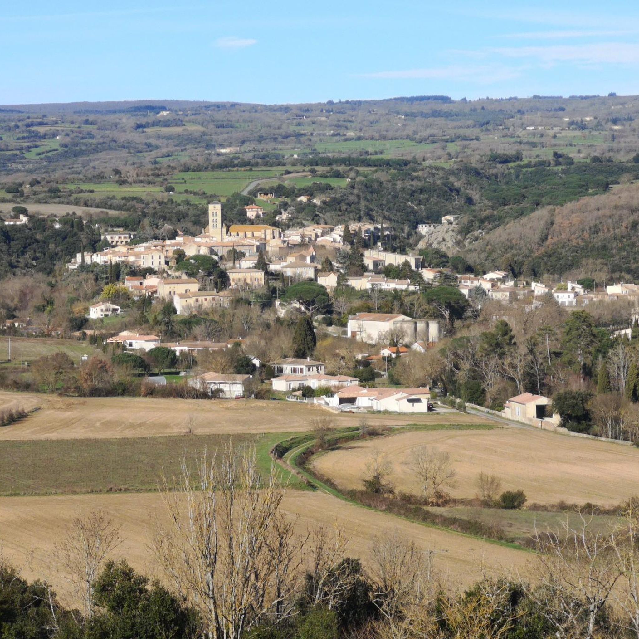
Gravel biking around Brousses-Et-Villaret features a network of routes primarily centered around the historic Canal du Midi and the Fresquel Lock system. The terrain includes flat, well-maintained canal paths, rural roads, and some sections with gentle rolling hills, offering varied surfaces suitable for gravel bikes. While many routes follow waterways, some also include elevation gains, indicating a mix of landscapes beyond just the canal banks. The region provides opportunities for long-distance rides through agricultural areas and past historic water management…
Last updated: July 17, 2026
4.3
(3)
35
riders
141km
08:16
390m
390m
Hard gravel ride. Very good fitness required. Mostly paved surfaces. Suitable for all skill levels.
8
riders
Moderate gravel ride. Good fitness required. Mostly paved surfaces. Suitable for all skill levels.

Sign up for free
2.5
(2)
9
riders
Hard gravel ride. Very good fitness required. Mostly paved surfaces. Suitable for all skill levels.
8
riders
32.8km
02:03
360m
360m
Hard gravel ride. Good fitness required. You may need to push your bike for some segments of this route.
5.0
(1)
5
riders
46.8km
02:47
360m
360m
Moderate gravel ride. Good fitness required. Mostly paved surfaces. Suitable for all skill levels.
Get access to more routes and recommendations from other explorers.
Sign up for free
Already have an account?
Our route recommendations are based on thousands of hikes, rides, and runs completed by other people on komoot.
Start today with a free account
Your next adventure awaits.
Login or Signup
Tips from the Community


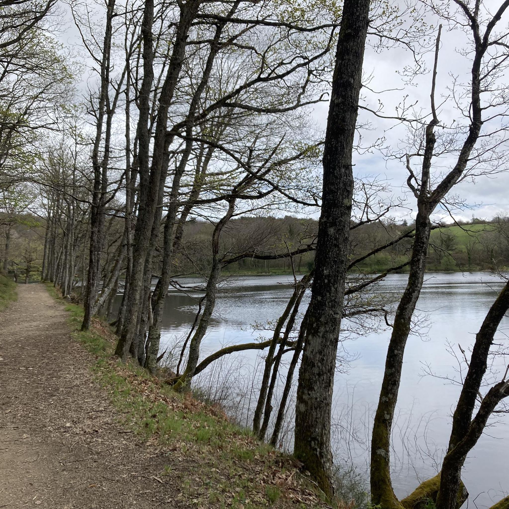
Hello Cormé, If you look to the left on the way there and to the right on the way back, you will see the same thing 😂 I'm joking of course and you are right, loop tracks are nicer.
0
0

Tour du lac de Cavayère: a hilly 5km loop, ideal for working on your sprints
0
0

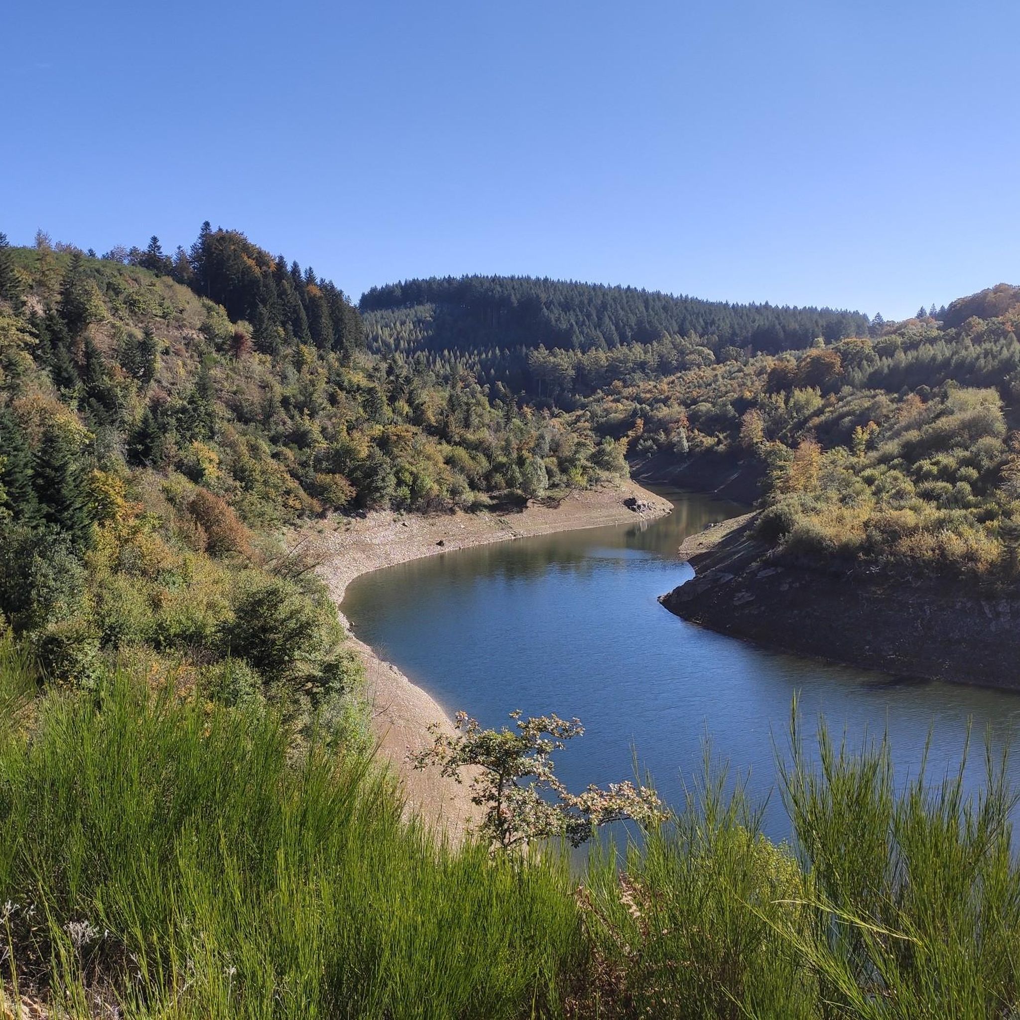
The Alzeau dam (or d'Alzau[1]), located in the commune of Arfons, in the Tarn[2], is the starting point of the rigole de la Montagne, which then feeds the Canal du Midi. It is located on the border with the Aude department, and is accessible via the commune of Lacombe. (Wikipedia)
0
0
During the canal's construction, Pierre-Paul Riquet allowed streams to flow into the canal. Excess water was discharged through weirs. This system generated alluvial deposits that silted up the canal and disrupted navigation. By 1685, boats were having difficulty navigating in many places. In 1686, King Louis XIV entrusted Vauban with an inspection of the Canal du Midi (then called the Royal Canal of Languedoc). This aqueduct has three arches. At low water levels, the Orbiel River flows only under the western arch. During floods, it overflows its banks, and sometimes the three arches are no longer sufficient to maintain the flow. In the most severe floods, the structure can be completely submerged, as was the case in 2018.
0
0

Wonderful collection of eccentric art and sculptures, especially the moving ones
0
0
The Cammazes Dam is located in the Montagne Noire massif in the Tarn department. It provides a drinking water reserve for the municipalities around Revel. Built between 1954 and 1957 and commissioned in 1958, the Cammazes Dam is located on the Sor River, between the municipalities of Cammazes and Sorèze in the Tarn department, and the municipality of Saissac in the Aude department. It forms Lake Cammazes, which also receives excess water from the mountain channel via the Conquet spillway. The structure is intended for drinking water supply and irrigation. It supplies 200 municipalities, representing over 170,000 inhabitants. The surface area of the body of water is approximately 90 hectares. Its reservoir volume is 18.8 million cubic meters; the watershed area is 30 km². The operator is the Montagne Noire Water Institution. The water is piped to the Picotalen treatment plant. It also serves as a reserve for the Canal du Midi via a water intake feeding the mountain channel (water rights of 4 million cubic meters) (Wikipedia)
0
0

Beautiful view of the city of Carcassonne
1
0
Frequently Asked Questions
What are the difficulty levels of gravel bike trails around Brousses-Et-Villaret?
The gravel biking routes in Brousses-Et-Villaret offer a range of difficulties. While the majority of the 15 available routes are classified as difficult (9 routes), there are also 5 moderate options and 1 easy route, providing choices for various skill levels.
Are there options for long-distance gravel biking in the Brousses-Et-Villaret area?
Yes, the region is well-suited for long-distance gravel biking, particularly along the Canal du Midi. For example, the Canal du Midi – Fresquel Lock loop from Ventenac-Cabardès is a challenging 88.0-mile (141.6 km) route that typically takes over 11 hours to complete.
What kind of terrain can I expect on gravel bike trails near Brousses-Et-Villaret?
You'll find a varied landscape for gravel biking. The terrain primarily features flat, well-maintained canal paths along the historic Canal du Midi, rural roads, and some sections with gentle rolling hills. This mix provides diverse surfaces, from agricultural areas to historic water management structures.
Are there any family-friendly gravel bike routes in Brousses-Et-Villaret?
While many routes are longer and more challenging, the presence of well-maintained canal paths along the Canal du Midi can offer easier, flatter sections suitable for families. Look for routes that stick closely to the canal for a more relaxed experience, though specific 'easy' routes are fewer among the listed options.
What are some notable landmarks or attractions I can see while gravel biking in the region?
The routes often pass by significant historical and natural points of interest. You can explore the historic Canal Towpath, the Alzeau Water Intake, and even catch views of La Cité de Carcassonne on some trails. There are also several lakes nearby, such as Lac des Cammazes and Lampy Neuf Reservoir.
Are there any circular gravel bike routes available?
Yes, many of the gravel bike routes in the area are designed as loops. For instance, the Fresquel Lock – Canal du Midi loop from Pezens is a popular circular option, covering 64.5 miles (103.8 km) and exploring the Canal du Midi and Fresquel Lock area.
What do other gravel bikers enjoy the most about gravel biking in Brousses-Et-Villaret?
The area is highly rated by the komoot community, with an average score of 4.4 stars from over 9 reviews. Riders often appreciate the extensive network of trails along the Canal du Midi, the mix of canal paths and rural roads, and the opportunities for long-distance rides through scenic agricultural landscapes.
How many gravel bike trails are available around Brousses-Et-Villaret?
There are over 15 gravel bike trails available around Brousses-Et-Villaret, offering a variety of distances and difficulty levels for exploration.
Are there any routes that offer views of Carcassonne?
Yes, some routes provide scenic views towards the historic city of Carcassonne. The Fresquel Lock – View of La Cité de Carcassonne loop from Pezens is a 39.5-mile (63.5 km) trail specifically designed to lead through rural landscapes with these views.
What is the typical duration for gravel bike rides in this region?
Ride durations vary significantly depending on the route and your pace. Shorter excursions, like the Lampy – Alzeau Water Intake loop from Lacombe, can take around 2 hours, while longer routes such as the Canal du Midi – Fresquel Lock loop from Ventenac-Cabardès can extend to over 11 hours.
Are there any waterfalls accessible by gravel bike in the area?
Yes, the Cubserviès Waterfall is a notable natural attraction in the vicinity that you might be able to incorporate into a gravel biking adventure or visit as a nearby point of interest.
Most popular routes around Brousses-Et-Villaret
Most popular attractions around Brousses-Et-Villaret

Get inspired with the komoot mobile app


Explore more
Browse the best Gravel rides in other regions.
