The best gravel rides around Villemagne
4.4
(11)
99
riders
9
rides
Gravel biking around Villemagne offers a diverse landscape characterized by rolling hills, water features like the Rigole de la Plaine, and the Saint-Ferréol Basin. The region presents a mix of terrain, from canal-side paths to more challenging ascents around the lakes. These gravel bike trails near Villemagne provide varied surfaces suitable for off-road cycling.
Best gravel bike trails around Villemagne
- The most popular gravel bike trail is Sorèze – La Rigole de la Plaine loop from Sorèze, a 28.2…
Last updated: July 17, 2026
4.0
(3)
30
riders
69.6km
04:34
240m
240m
Moderate gravel ride. Good fitness required. Mostly paved surfaces. Suitable for all skill levels.
3.6
(5)
26
riders
59.1km
03:27
290m
290m
Moderate gravel ride. Good fitness required. Mostly paved surfaces. Suitable for all skill levels.

Sign up for free
5.0
(2)
22
riders
45.3km
02:25
220m
220m
Moderate gravel ride. Good fitness required. Mostly paved surfaces. Suitable for all skill levels.
8
riders
32.8km
02:03
360m
360m
Hard gravel ride. Good fitness required. You may need to push your bike for some segments of this route.
6
riders
27.2km
01:46
310m
300m
Moderate gravel ride. Good fitness required. Mostly paved surfaces. Suitable for all skill levels.
Get access to more routes and recommendations from other explorers.
Sign up for free
Already have an account?
Our route recommendations are based on thousands of hikes, rides, and runs completed by other people on komoot.
Start today with a free account
Your next adventure awaits.
Login or Signup
Tips from the Community

Located in the hamlet of Thoumazés in Saint-Félix-Lauragais, the Laudot lock is a strategic structure in the hydraulic supply network of the Canal du Midi.
1
0


The Alzeau dam (or d'Alzau[1]), located in the commune of Arfons, in the Tarn[2], is the starting point of the rigole de la Montagne, which then feeds the Canal du Midi. It is located on the border with the Aude department, and is accessible via the commune of Lacombe. (Wikipedia)
0
0

An ideal route to test your e-MTB and yourself.
0
0
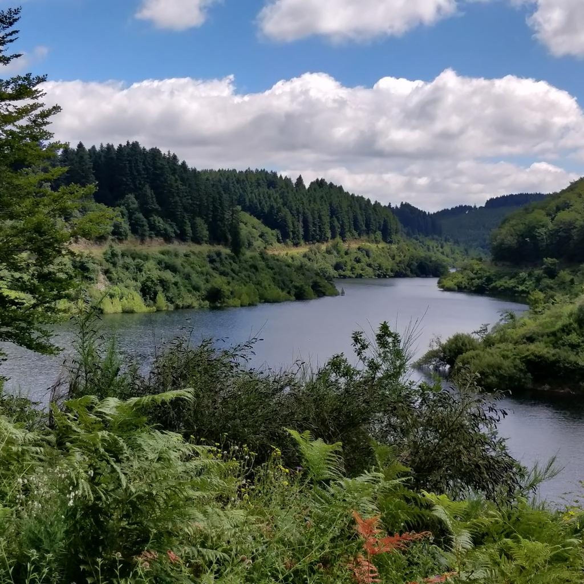
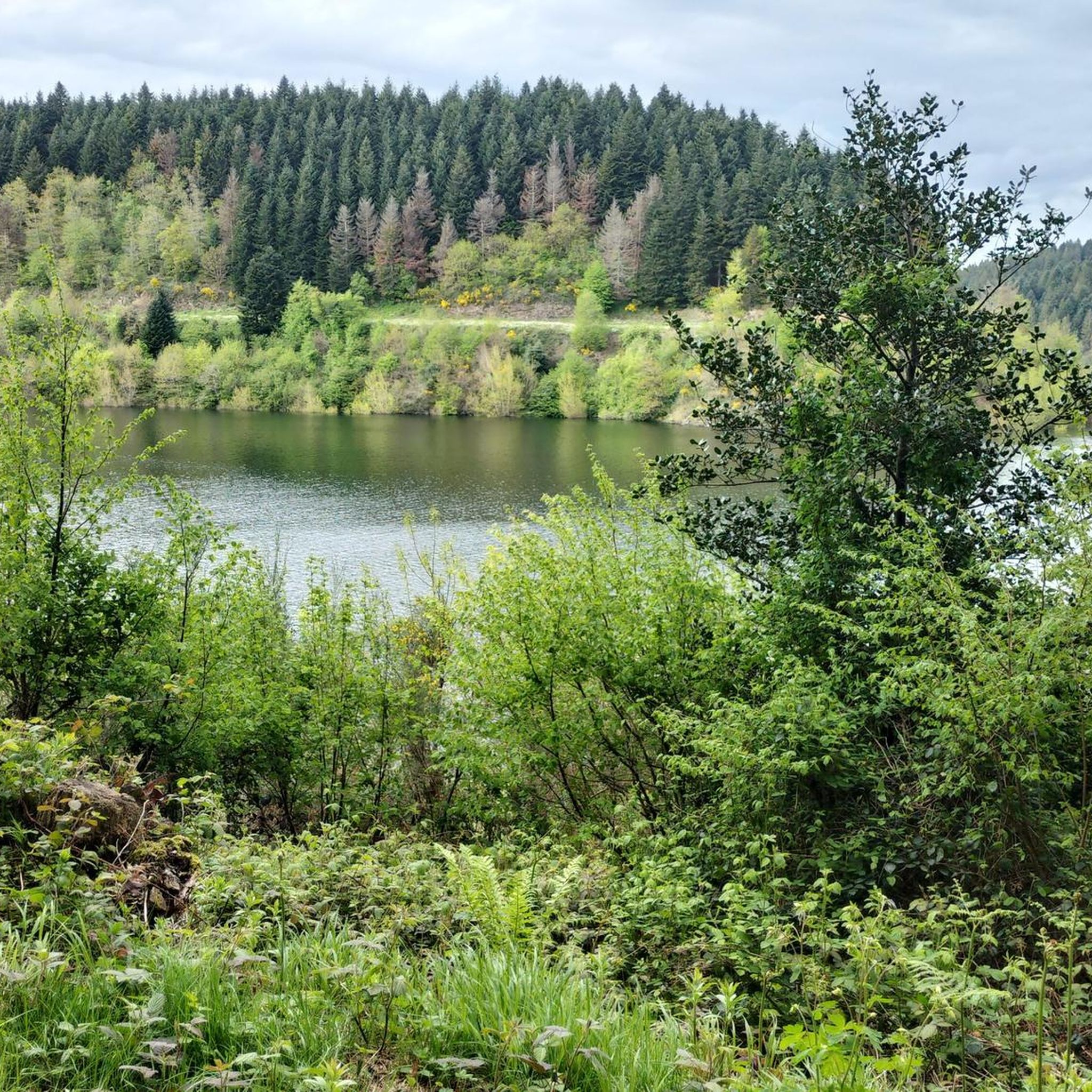
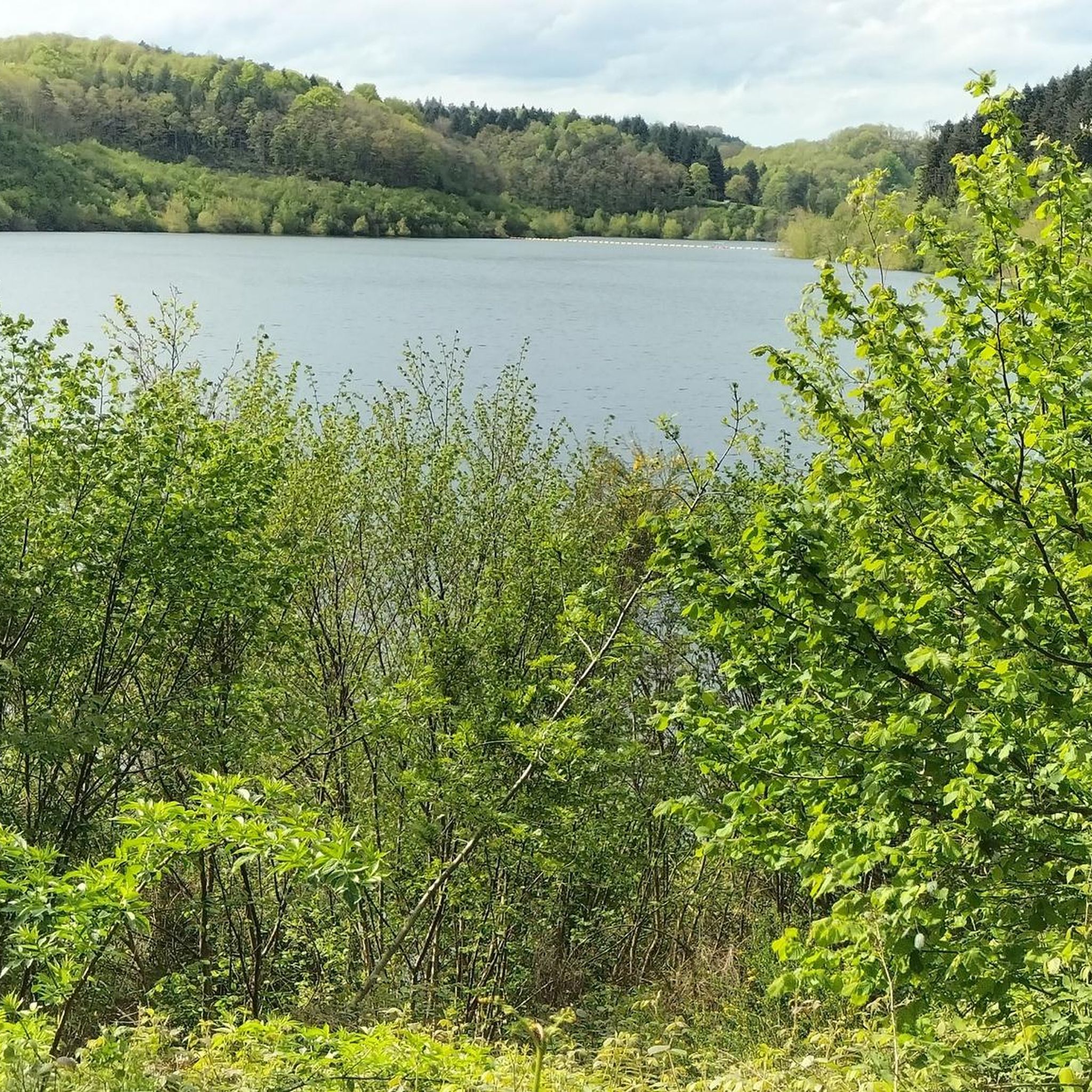
The Cammazes Dam is located in the Montagne Noire massif in the Tarn department. It provides a drinking water reserve for the municipalities around Revel. Built between 1954 and 1957 and commissioned in 1958, the Cammazes Dam is located on the Sor River, between the municipalities of Cammazes and Sorèze in the Tarn department, and the municipality of Saissac in the Aude department. It forms Lake Cammazes, which also receives excess water from the mountain channel via the Conquet spillway. The structure is intended for drinking water supply and irrigation. It supplies 200 municipalities, representing over 170,000 inhabitants. The surface area of the body of water is approximately 90 hectares. Its reservoir volume is 18.8 million cubic meters; the watershed area is 30 km². The operator is the Montagne Noire Water Institution. The water is piped to the Picotalen treatment plant. It also serves as a reserve for the Canal du Midi via a water intake feeding the mountain channel (water rights of 4 million cubic meters) (Wikipedia)
0
0

When you are in Revel, go for a little stroll to the Ninon pastry shop, it's a delight, and the shopkeeper is charming.
0
0


Frequently Asked Questions
What types of terrain can I expect on gravel bike trails around Villemagne?
The Villemagne region offers a diverse mix of terrain, from relatively flat canal-side paths along the historic Rigole de la Plaine to more challenging ascents and descents around the Saint-Ferréol Basin and Lac de Saint-Ferréol. You'll encounter rolling hills and varied surfaces suitable for off-road cycling.
Are there any easy or beginner-friendly gravel bike trails in Villemagne?
While many routes are moderate, the area does offer options suitable for beginners. For instance, the Sorèze – La Rigole de la Plaine loop from Sorèze is a moderate trail that follows the historic Rigole de la Plaine, offering a relatively flat and scenic ride that can be enjoyed by those looking for a less strenuous experience.
What are some challenging gravel bike routes near Villemagne?
For experienced gravel bikers seeking a challenge, routes like the Saint-Martin Church of Sorèze – Saint-Ferréol Basin loop from Bassin de Saint-Ferréol offer significant elevation gain around the Saint-Ferréol Basin. Another demanding option is the Lac de Saint-Ferréol – Mémorial Cathare loop from Bassin de Saint-Ferréol, which covers a longer distance with substantial climbing.
How long do gravel bike trails typically take to complete in Villemagne?
Trail durations vary significantly based on length and difficulty. For example, the Saint-Ferréol Basin – Lac de Saint-Ferréol loop from Sorèze, at 17.3 miles (27.8 km), typically takes around 2 hours 11 minutes. Longer and more challenging routes, such as the 25.5 miles (41.1 km) Saint-Martin Church of Sorèze – Saint-Ferréol Basin loop from Bassin de Saint-Ferréol, can take closer to 4 hours.
Are there any scenic routes or points of interest along the gravel bike trails?
Absolutely. Many routes feature beautiful water bodies and historic sites. You'll find trails that circle the picturesque Lac de Saint-Ferréol and follow the historic Rigole de la Plaine. Other nearby attractions include the Vivier Lock and the impressive Vauban Vault.
What is the best time of year to go gravel biking in Villemagne?
The region is generally pleasant for gravel biking from spring through autumn. Autumn, in particular, offers beautiful scenery as the foliage changes around the lakes and rolling hills, making it a popular time for local riders.
Are the gravel bike routes in Villemagne typically circular?
Yes, many of the popular gravel bike routes around Villemagne are designed as loops, allowing you to start and finish at the same point. Examples include the Sorèze – La Rigole de la Plaine loop and the Saint-Ferréol Basin – Lac de Saint-Ferréol loop.
What do other gravel bikers say about the trails in Villemagne?
The gravel biking routes in Villemagne are highly rated by the komoot community, with an average score of 4.5 stars from over 4 reviews. Riders often praise the varied terrain, the scenic beauty of the lakes and canals, and the options available for different skill levels.
How many gravel bike trails are available around Villemagne?
There are 12 gravel bike trails available around Villemagne on komoot, offering a range of distances and difficulties to explore the region's diverse landscape.
Are there any lakes or water features to explore by gravel bike?
Yes, the region is characterized by several beautiful water features. Gravel bike routes often incorporate the Rigole de la Plaine and circle around the Lac de Saint-Ferréol. You can also find trails near Lac des Cammazes and Lake Galaube.
Most popular routes around Villemagne
Most popular attractions around Villemagne

Get inspired with the komoot mobile app


Explore more
Browse the best Gravel rides in other regions.
