The best gravel rides around Mairy-Mainville
3.0
(1)
52
riders
25
rides
Gravel biking around Mairy-Mainville offers varied terrain across the Meurthe-et-Moselle department, characterized by gentle hills, river valleys, and elevations ranging from 237 to 325 meters. The landscape combines dense forests with open plateaus, providing a mix of dirt roads, unpaved paths, and forest trails suitable for mixed-surface riding. The presence of the Woigot river and numerous streams creates opportunities for picturesque riverside routes and diverse off-road exploration.
Best gravel bike trails around Mairy-Mainville
- The most popular gravel bike trail is…
Last updated: July 2, 2026
6
riders
85.1km
05:44
830m
830m
Hard gravel ride. Very good fitness required. Mostly paved surfaces. Suitable for all skill levels.
3
riders
27.2km
01:52
300m
300m
Moderate gravel ride. Good fitness required. Mostly paved surfaces. Suitable for all skill levels.

Sign up for free
3
riders
30.4km
02:23
280m
280m
Moderate gravel ride. Good fitness required. Mostly paved surfaces. Suitable for all skill levels.
3
riders
40.1km
02:44
410m
410m
Moderate gravel ride. Good fitness required. Mostly paved surfaces. Suitable for all skill levels.
6
riders
30.3km
02:18
310m
310m
Moderate gravel ride. Good fitness required. Mostly paved surfaces. Suitable for all skill levels.
Get access to more routes and recommendations from other explorers.
Sign up for free
Already have an account?
Our route recommendations are based on thousands of hikes, rides, and runs completed by other people on komoot.
Start today with a free account
Your next adventure awaits.
Login or Signup

Tips from the Community

with family
0
0

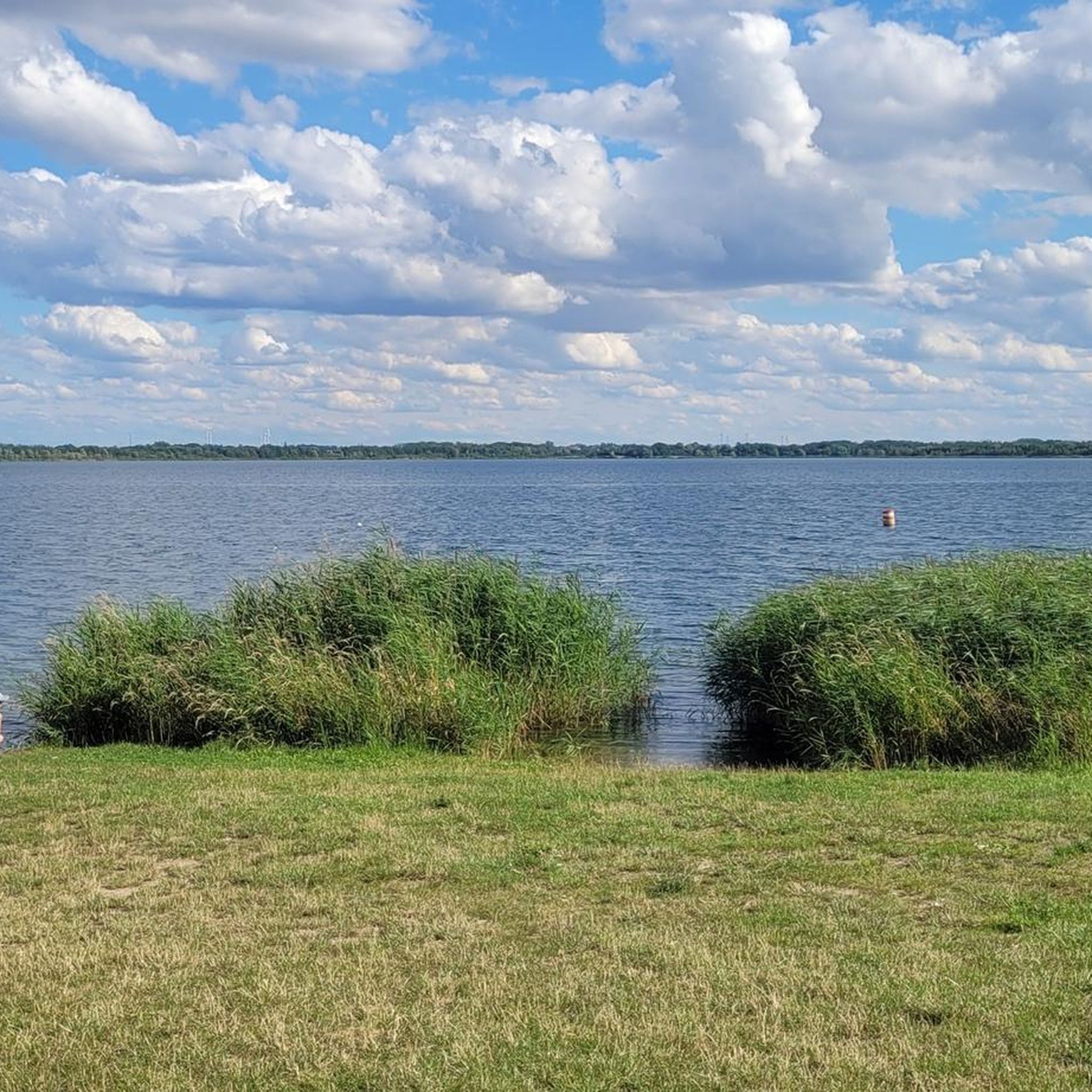
💧 Plan d'Eau de la Sangsue – Small Natural Lake Tucked away in the countryside lies the Plan d'Eau de la Sangsue, a small natural lake with wild shoreline vegetation, calm waters, and a natural charm. While its name ("Leech Pond") is unusual, the body of water is a peaceful spot for walkers, nature lovers, and birdwatchers. 🌿 Surrounded by forest and meadows, the pond is a refuge for amphibians, insects, and waterfowl. A narrow path leads along the shore – ideal for a quiet break in nature. Tip: Particularly beautiful in spring or when there is light fog – then the pond appears almost mystical. Perfect for a quiet rest off the beaten track.
0
0

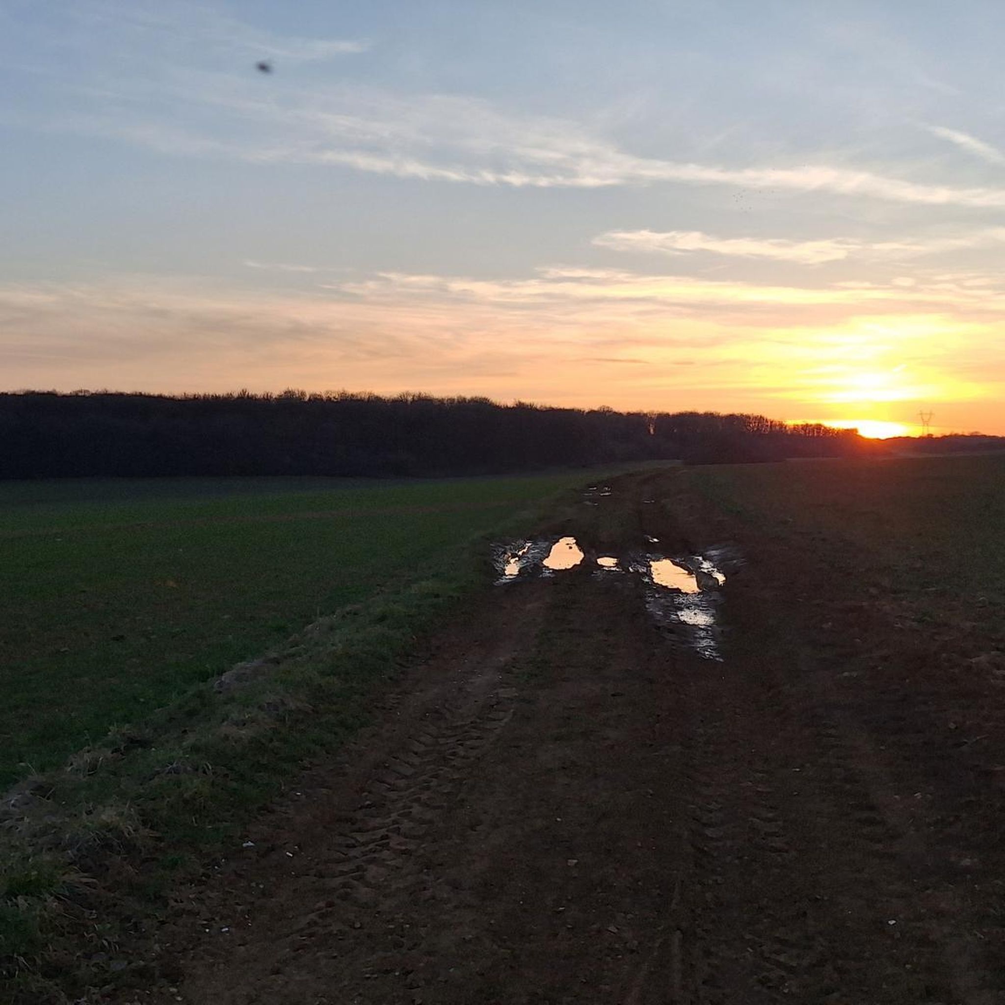
This route is very pretty, but it is best done with a mountain bike or hybrid bike. The paths are quite passable in dry weather.
0
0

Very beautiful pond with a lot of activities for children (playground and outdoor activity park)
0
0

Great body of water in the early morning
1
0

Nice view of the Briotin lake. To see with family.
0
0
Briey lake for a 2.5km tour, it is an ideal place for a walk, a run, and joining the greenway or forest paths in the surrounding area. ' It has a children's play park.
0
0
At one end of the greenway, this old tunnel is closed all year round and open for exceptional events such as the 'Entre Chien et Loup' race. Dug in 1903 by the Eastern Railway Company, disused since 1990.
0
0
Frequently Asked Questions
How many gravel bike trails are available around Mairy-Mainville?
There are over 15 gravel bike routes available around Mairy-Mainville, offering a diverse range of experiences. These include 13 moderate and 6 difficult trails, catering to various skill levels.
What kind of terrain can I expect on gravel bike trails in Mairy-Mainville?
The terrain around Mairy-Mainville is quite varied, featuring gentle hills, river valleys, and elevations between 237 and 325 meters. You'll encounter a mix of dense forests, open plateaus, dirt roads, unpaved paths, and forest trails, perfect for mixed-surface riding. The presence of the Woigot river and numerous streams also creates picturesque riverside sections.
Are there any easy gravel bike routes suitable for beginners or families?
While the guide primarily lists moderate and difficult routes, the region's varied terrain means there are likely easier sections to explore. For a moderate option, consider the Filieres au Printemps loop from Mercy-le-Haut, which is 15.0 km long and offers a good introduction to the area's gravel paths.
What are some challenging gravel bike routes for experienced riders?
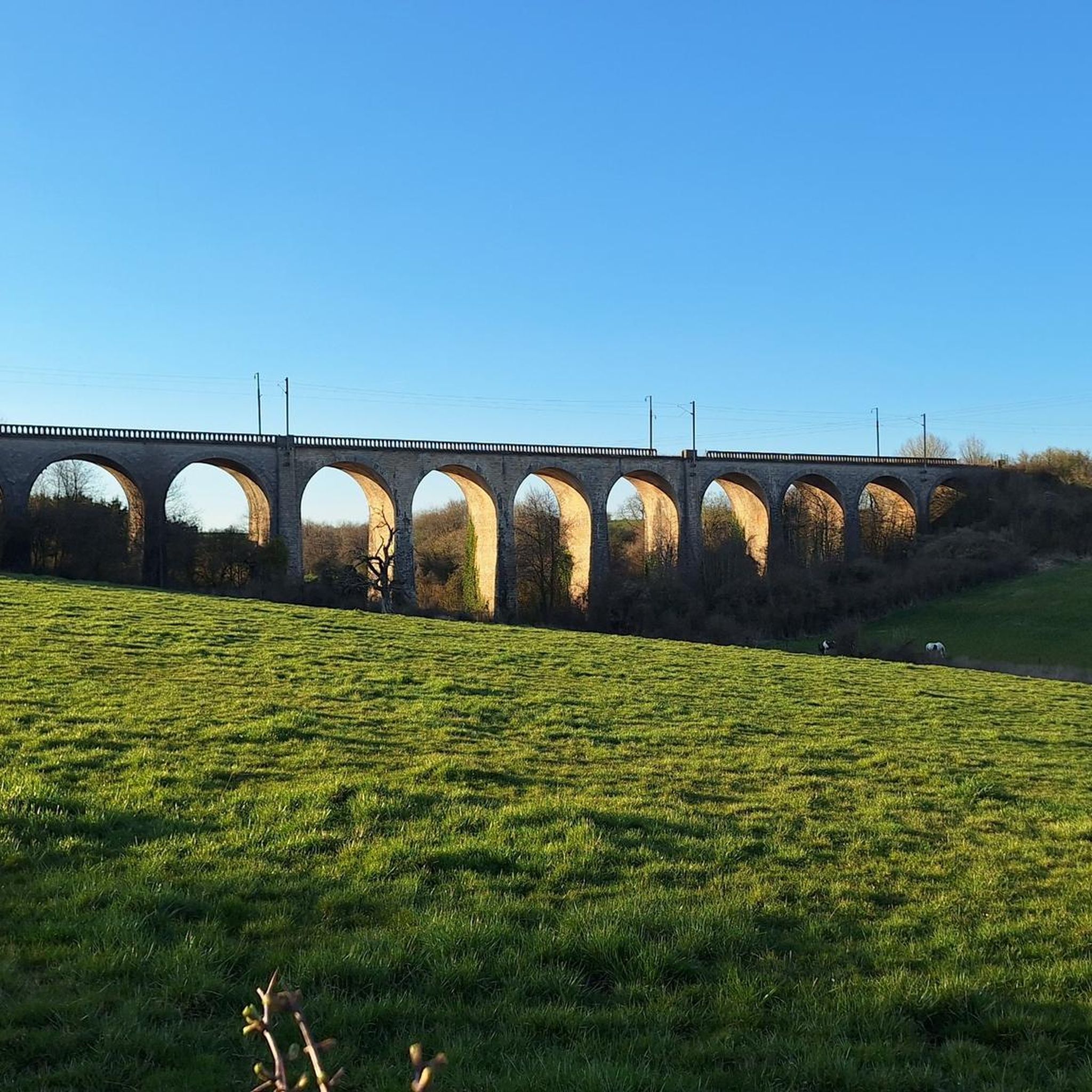
Experienced riders looking for a challenge can tackle routes with significant elevation gain. The Eiffel Viaduct of Serrouville – Quite a strange gateway loop from Audun-le-Roman is a difficult 87.6 km trail with substantial climbing. Another demanding option is the Transjarnysienne Route – Mancielles briey loop from Mance, a 75.4 km route through varied landscapes.
Are there any circular gravel bike routes in the area?
Yes, many of the gravel routes around Mairy-Mainville are designed as loops, allowing you to start and finish in the same location. Examples include the PLEASANT, SHADY PATH – Orne River loop from Fontoy and the Colline McDonnald – Mancielles briey loop from Mance.
What interesting landmarks or attractions can I see along the gravel bike trails?
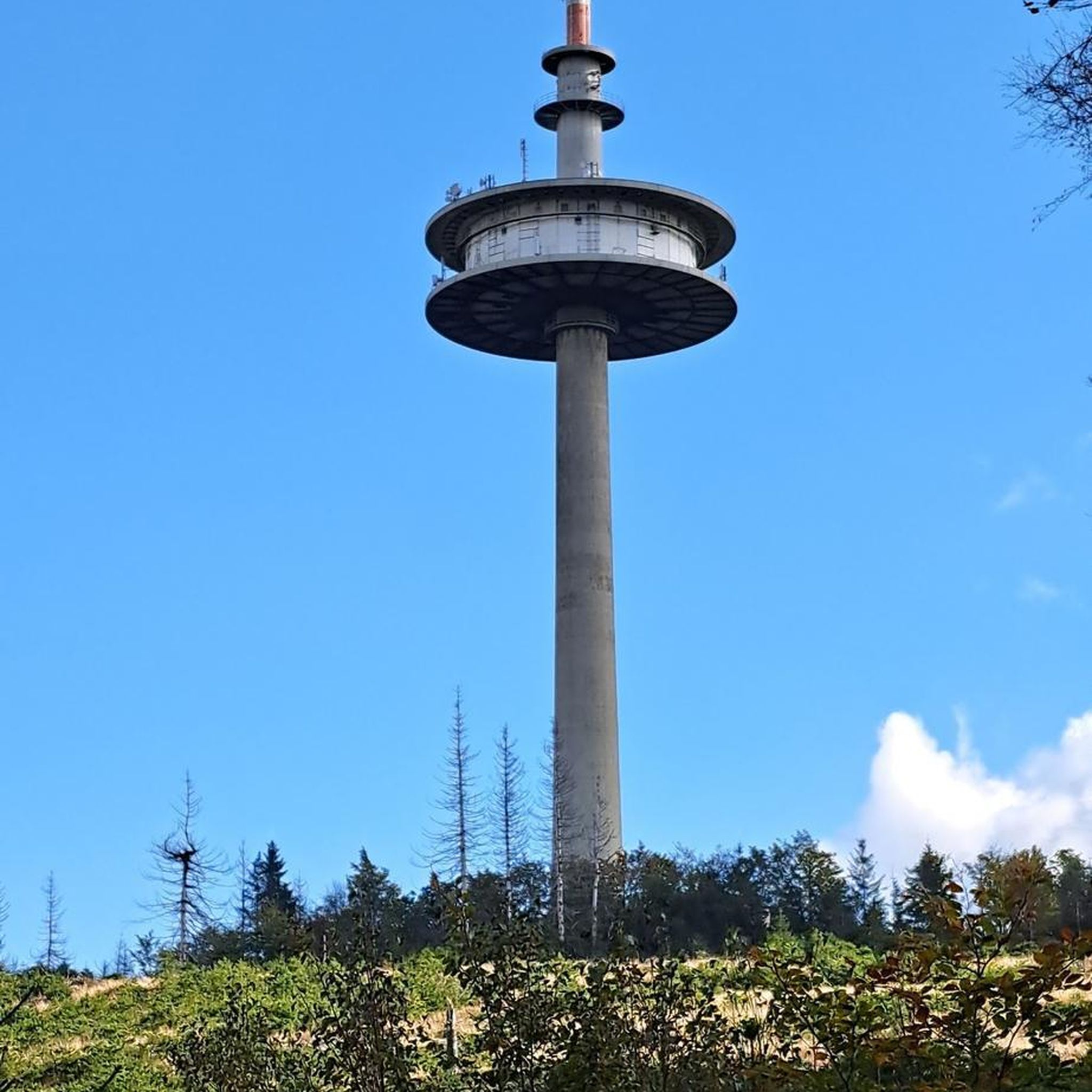
The region offers several points of interest. You might encounter historical sites like the Church of Mance or the impressive Eiffel Viaduct of Serrouville. Nature lovers can enjoy the tranquil Plan d'Eau de la Sangsue. There's also the unique Entrance to the old mining tunnel, hinting at the area's industrial past.
Is Mairy-Mainville well-connected to regional cycling networks like the Moselle Cycle Path?
Mairy-Mainville is situated within the Meurthe-et-Moselle department, which is part of the broader Grand Est region known for its cycling infrastructure. The Moselle Cycle Path, a long-distance route, passes through the department and offers diverse landscapes. While often paved, some sections or adjacent paths can be suitable for gravel bikes, especially if you venture into the surrounding hills and villages. The 85 km Boucle de la Moselle also runs through the department, including greenways and shared roads.
What do other gravel bikers say about the routes in Mairy-Mainville?
The routes in Mairy-Mainville are appreciated by the komoot community, with an average rating of 3.0 stars. Over 40 gravel bikers have used komoot to explore the area, often praising the varied terrain and the mix of forest and open landscapes.
Are there any specific routes that offer shaded sections for hot days?
Yes, some routes are known for their shaded sections, which can be a welcome relief on warmer days. The PLEASANT, SHADY PATH – Orne River loop from Fontoy is specifically highlighted for following the Orne River and offering a mix of shaded areas and open views.
What is the best time of year to go gravel biking in Mairy-Mainville?
The Meurthe-et-Moselle department generally offers pleasant cycling conditions from spring through autumn. Spring brings blooming landscapes, while autumn provides beautiful foliage. Summer can be warm, but routes with shaded forest sections or riverside paths offer relief. Winter riding is possible, but conditions may vary with snow or ice, especially on unpaved trails.
Is it possible to access the gravel trails using public transport?
While Mairy-Mainville is a smaller commune, the broader Meurthe-et-Moselle region has public transport options. It's advisable to check local bus or train schedules to nearby larger towns like Audun-le-Roman or Mance, and then plan your route to the trailheads. Some regional trains allow bikes, but policies can vary.
Where can I find parking for gravel bike trails in Mairy-Mainville?
For routes starting from specific towns or villages, you can typically find public parking in the village centers or near local amenities. For example, if starting a loop from Audun-le-Roman, Fontoy, or Mance, look for designated parking areas within those communes. Always check local signage for parking regulations.
Most popular routes around Mairy-Mainville
Most popular attractions around Mairy-Mainville

Get inspired with the komoot mobile app


Explore more
Browse the best Gravel rides in other regions.
