The best gravel rides around Landorf
3.0
(1)
16
riders
4
rides
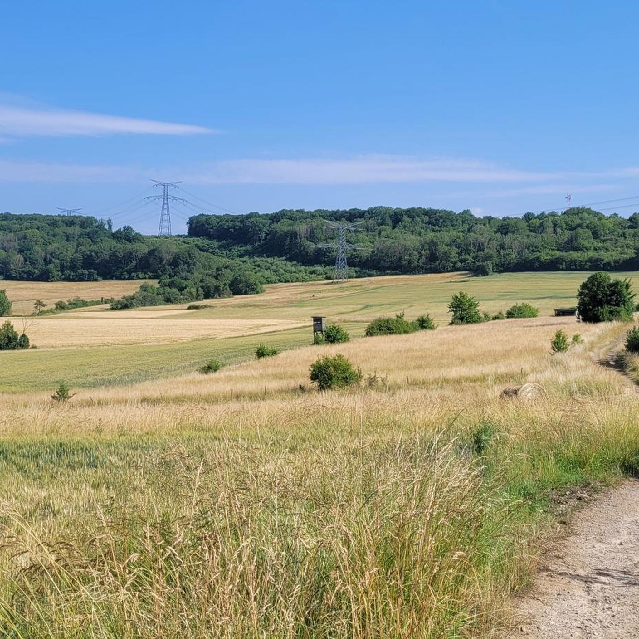
Gravel biking around Landorf offers routes through a landscape characterized by varied terrain. The region features a mix of open fields and woodlands, providing diverse riding experiences. Elevations on the trails are notable, with several routes including significant ascents. This area is suitable for gravel bikers seeking longer distances and moderate to difficult challenges.
Best gravel bike trails around Landorf
- The most popular gravel bike trail is Ouvrage de l'Einseling – Silcence Zone loop from Teting, a 24.6 miles…
Last updated: July 2, 2026
4
riders
39.4km
02:47
440m
440m
Hard gravel ride. Good fitness required. You may need to push your bike for some segments of this route.
3
riders
36.6km
02:46
490m
490m
Hard gravel ride. Very good fitness required. Mostly paved surfaces. Suitable for all skill levels.

Sign up for free
2
riders
65.9km
04:16
590m
590m
Hard gravel ride. Very good fitness required. Mostly paved surfaces. Suitable for all skill levels.
3.0
(1)
3
riders
39.5km
02:32
440m
440m
Moderate gravel ride. Good fitness required. Mostly paved surfaces. Suitable for all skill levels.
2
riders
41.5km
02:43
520m
520m
Hard gravel ride. Very good fitness required. Mostly paved surfaces. Suitable for all skill levels.
Our route recommendations are based on thousands of hikes, rides, and runs completed by other people on komoot.
Start today with a free account
Your next adventure awaits.
Login or Signup

Tips from the Community

The Maginot Line: The French Wall | ARTE https://youtu.be/Bvtxa08ysgc For those who would like to know more about the Maginot Line: de.wikipedia.org/wiki/Liste_der_Ouvrages_der_Maginot-Linie
1
0

Excellent playground with many forest paths. Not far away, the Hussards hill has several mountain bike trails.
0
0

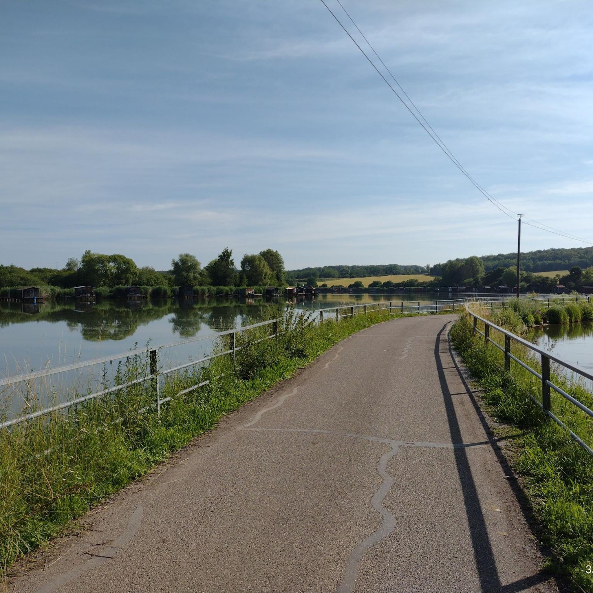
One of the large ponds in the area, here with a beautiful view 🇫🇷🛥️
0
0

Chapel with a good break area and two benches
0
0

Entering the buildings prohibited 🚫
0
0

Quiet road but with lots of potholes
0
0
open from 9 a.m. to 5 p.m.
0
0
Frequently Asked Questions
What kind of terrain can I expect on gravel bike trails around Landorf?
The gravel bike trails around Landorf feature a diverse landscape, combining open fields with woodlands. You'll encounter a mix of paved and unpaved surfaces, including forest roads. The region is characterized by significant elevation changes, offering a varied and engaging riding experience.
Are there any easy gravel bike routes for beginners in Landorf?
While many routes in Landorf present moderate to difficult challenges with significant elevation, there are options suitable for those looking for a less strenuous ride. For example, the Harprich's storks – War Memorial and Clock Tower loop from Adelange is rated as moderate and covers 33.2 km with 276 meters of ascent, making it a good choice for those building their gravel biking experience.
What are the typical distances and durations for gravel biking routes in Landorf?
Gravel bike routes in Landorf generally range from 33 km to nearly 40 km in length. Depending on the route and your pace, you can expect durations from approximately 2 hours 20 minutes to over 3 hours 20 minutes. For instance, the Ouvrage de l'Einseling – Silcence Zone loop from Teting is 39.7 km and typically takes about 3 hours 22 minutes.
What is the best time of year to go gravel biking in Landorf?
Glandorf, the municipality where Landorf is located, offers scenic beauty suitable for outdoor activities. The region's mix of woodlands and open fields suggests pleasant riding conditions during spring, summer, and autumn. Winter riding might be possible, but it's always advisable to check local weather conditions and trail status due to potential mud or ice.
Are there any circular gravel bike routes in the Landorf area?
Yes, many of the gravel bike routes around Landorf are designed as loops, allowing you to start and end at the same point. Examples include the Silcence Zone – Ouvrage de l'Einseling loop from Teting and the Ouvrage de l'Einseling – Crossroads Oderfang loop from Faulquemont, both offering extensive circular tours through varied terrain.
What kind of elevation changes should I expect on Landorf's gravel trails?
The gravel trails around Landorf are known for significant elevation changes. You can expect ascents ranging from approximately 270 meters to nearly 500 meters on a single route. This makes the area suitable for riders looking for a challenging workout and rewarding views.
What do other gravel bikers say about the routes in Landorf?
The gravel biking routes in Landorf are highly regarded by the komoot community, with an average rating of 3.25 stars from over 3 reviews. Many riders appreciate the extensive loops, the significant elevation changes, and the diverse mix of open and wooded areas that define the riding experience here.
Are there any natural features or landmarks to look out for along the gravel bike trails?
While specific natural features directly on the trails are not detailed, the broader region around Glandorf is known for its pleasant rural scenery, including woodlands and gentle hills. Nearby attractions like the Baumwipfelpfad Bad Iburg (treetop walk) and the Kurpark Bad Rothenfelde offer opportunities to experience the area's natural beauty, though they are not directly on the gravel routes.
Are there options for parking near the gravel bike trailheads in Landorf?
While specific parking locations for each trailhead are not detailed, the presence of several camping parks within a 10-10.6 km radius of Glandorf, such as Campingpark Heidewald and Camping Park Münsterland Eichenhof, suggests that the area is well-equipped for outdoor visitors and likely offers parking facilities convenient for accessing the trails.
Can I find places to eat or stay near the gravel biking routes in Landorf?
The Glandorf region, being a destination for outdoor enthusiasts, likely offers various amenities. While specific cafes or pubs directly on the trails are not listed, the presence of parks and camping facilities suggests that nearby towns and villages would provide options for food, drink, and accommodation for visitors.
Are the gravel bike trails in Landorf suitable for families?
The gravel routes in Landorf are generally described as offering moderate to difficult challenges with significant elevation changes. While some families with experienced riders might enjoy these, those with younger children or less experienced cyclists might find the terrain and distances demanding. It's recommended to review specific route details, especially the difficulty grade and elevation, to determine suitability for your family.
What is a 'landform' in the context of the region's landscape?
A 'landform' refers to a natural feature of the solid surface of the Earth. In the context of the Glandorf region, this includes features like hills, valleys, and plains that contribute to the diverse terrain you'll encounter on the gravel bike trails. You can learn more about landforms on Wikipedia.

Get inspired with the komoot mobile app


Explore more
Browse the best Gravel rides in other regions.
