The best gravel rides around Varangéville
4.7
(15)
55
riders
28
rides
Gravel biking around Varangéville offers a network of trails through varied landscapes in the Grand Est region of France. The terrain is characterized by river valleys, canals, open countryside, and forested sections, providing diverse conditions for gravel riders. Routes often follow the Meurthe and Moselle rivers and their tributaries, featuring unpaved surfaces ideal for gravel bikes. The area includes plateaus with elevations ranging from 676 feet (206 meters) to 1,014 feet (309 meters), indicating varied topography with gentle to moderate…
Last updated: July 3, 2026
4.5
(4)
21
riders
50.5km
03:02
260m
260m
Moderate gravel ride. Good fitness required. Mostly paved surfaces. Suitable for all skill levels.
4.7
(3)
8
riders
65.7km
04:15
590m
590m
Hard gravel ride. Very good fitness required. You may need to push your bike for some segments of this route.

Sign up for free
4.2
(5)
10
riders
49.0km
02:41
310m
310m
Moderate gravel ride. Good fitness required. Mostly paved surfaces. Suitable for all skill levels.
6
riders
35.4km
02:16
290m
290m
Moderate gravel ride. Good fitness required. Mostly paved surfaces. Suitable for all skill levels.
5.0
(2)
4
riders
24.1km
01:59
340m
340m
Moderate gravel ride. Good fitness required. Mostly paved surfaces. Suitable for all skill levels.
Get access to more routes and recommendations from other explorers.
Sign up for free
Already have an account?
Our route recommendations are based on thousands of hikes, rides, and runs completed by other people on komoot.
Start today with a free account
Your next adventure awaits.
Login or Signup
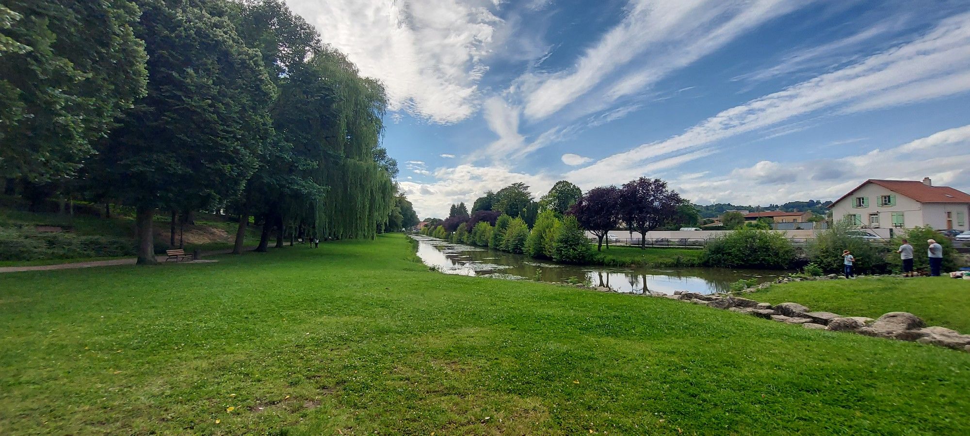
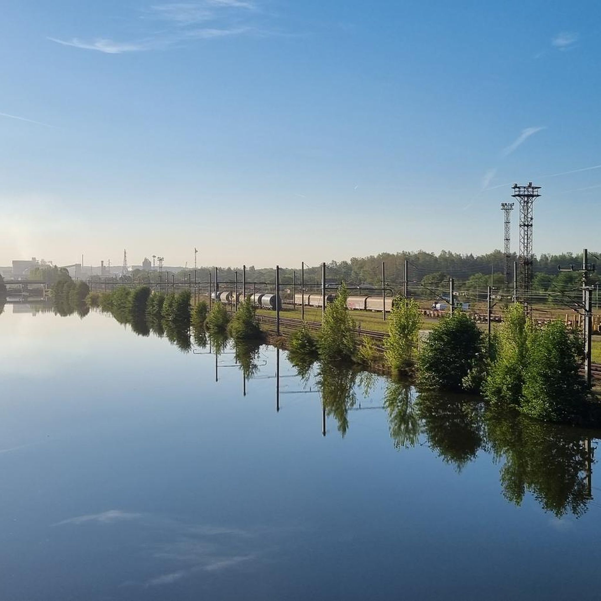
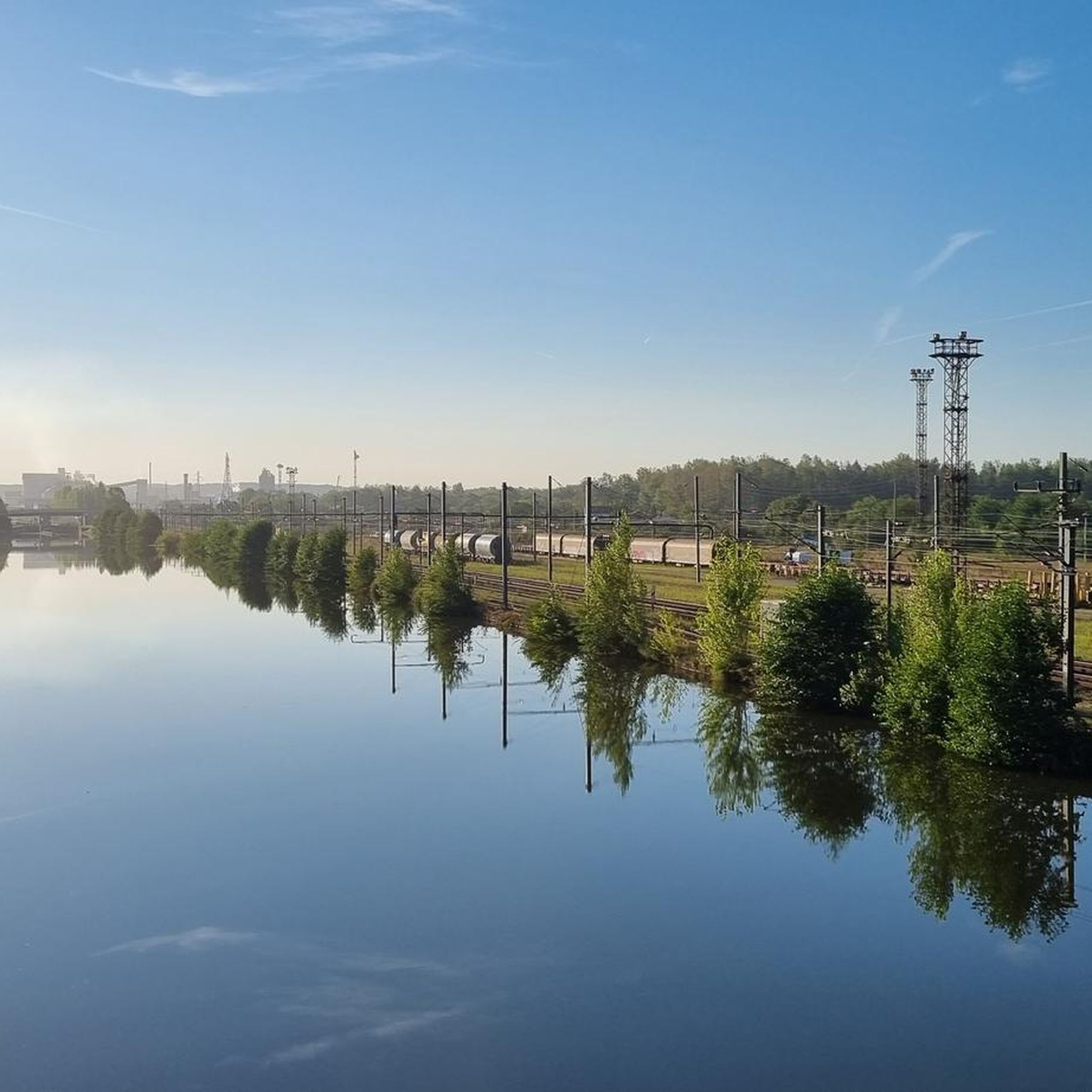

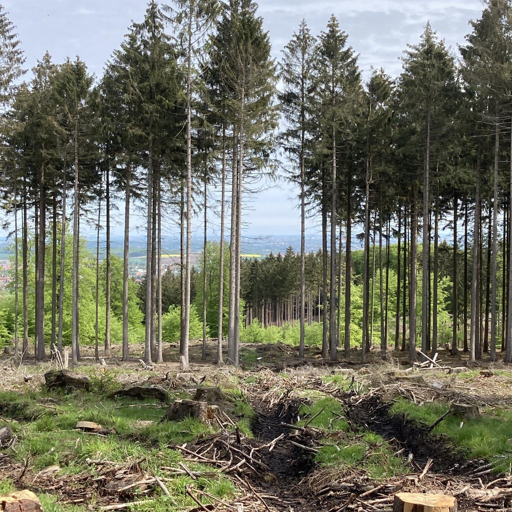

Other adventures around Varangéville

Tips from the Community


Not at all a view of the canal, it's more of the Meurthe, the canal is right next to it.
1
0

Good place to sleep before Nancy 🌠
0
0

Very old bridge which is reserved for bicycles and pedestrians to reach the town center of Laneuveville.
0
0
Settling basins of the Novacarb factory in La Madeleine / Laneuveville devant Nancy (Manufacture of sodium carbonate and finished products for fine industry "Pharmacy, glass, etc.")
0
0
A must-see in front of the saltworks of the south and the saltworks of the east.
0
0

Beautiful path in the shade with a view of the water
0
0
Frequently Asked Questions
How many gravel bike trails are available around Varangéville?
There are over 40 gravel bike routes in the Varangéville area. This includes 1 easy route, 31 moderate routes, and 11 difficult routes, offering a wide range of options for different skill levels.
Are there gravel bike routes suitable for beginners near Varangéville?
Yes, beginners can enjoy the gravel biking around Varangéville. While most routes are moderate, options like the Canal Path (La Voie Bleue) – Canal de Jonction loop from Ville-en-Vermois offer consistent surfaces and minimal elevation changes, making them accessible for those new to gravel biking. There is one specifically classified easy route available.
What options are there for experienced gravel bikers seeking a challenge?
Experienced riders will find plenty of challenging routes, with 11 difficult trails available. Consider the Place Stanislas – Saint Catherine's Gate loop from Jarville-la-Malgrange, which features significant elevation gains and varied terrain. Another challenging option is the Méchelle footbridge – Eulmont forest loop from Jarville-la-Malgrange, known for its climbs.
What is the typical length of gravel bike trails in the Varangéville area?
The gravel bike trails around Varangéville vary in length, generally ranging from approximately 35 km to over 65 km. For instance, the Canal Path (La Voie Bleue) – Canal de Jonction loop from Ville-en-Vermois is 66.9 km, while the Méchelle footbridge – Eulmont forest loop from Jarville-la-Malgrange is 36.8 km.
Are there any family-friendly gravel biking routes in Varangéville?
For family-friendly gravel biking, look for routes that follow the canal paths, as these typically offer flatter, more consistent surfaces away from heavy traffic. The Canal Path (La Voie Bleue) – Canal de Jonction loop from Ville-en-Vermois is a good example, providing a relatively easy ride suitable for families, though its length might require planning.
What kind of scenery can I expect on gravel bike trails around Varangéville?
Gravel biking around Varangéville offers diverse scenery, including picturesque riverside paths along the Moselle, tranquil canal routes, and sections through forested areas. You'll experience a mix of natural landscapes and views connecting urban fringes with more secluded environments.
Are there any scenic viewpoints along the gravel bike trails?
Many routes offer scenic views, particularly those following the Moselle River or canal paths. While specific viewpoints aren't always marked, the varied terrain through forests and along waterways provides numerous picturesque spots to enjoy the landscape.
What are some interesting landmarks or attractions I might see near the gravel bike trails?
You can explore several interesting landmarks and attractions near the gravel bike trails. Notable sites include Stanislas Square and Place de la Carrière, both significant historical sites. The Marne–Rhine Canal itself is a prominent feature, and you might also pass the Basilica of the Sacred Heart of Nancy.
Are there many loop gravel bike trails in the Varangéville region?
Yes, many of the gravel bike routes around Varangéville are designed as loops, allowing you to start and finish at the same point. Examples include the Moselle Riverside Path – Avenue by the water loop from Pulnoy and the Rucher de la Bouzule – Blanzey after the undergrowth loop from Seichamps.
What do other gravel bikers enjoy the most about gravel biking in Varangéville?
The area is highly rated by the komoot community, with an average score of 4.4 stars from over 10 reviews. Reviewers often praise the diverse terrain, from flat canal paths to more challenging forested sections, and the well-maintained routes that offer a great mix of natural beauty and accessible paths.
Is public transport available to access gravel trails near Varangéville?
While specific public transport links directly to trailheads are not detailed in the route data, Varangéville and nearby towns like Jarville-la-Malgrange and Pulnoy are generally well-connected by local transport networks. It's advisable to check local bus or train schedules for the closest stops to your chosen starting point.
Where can I find parking for gravel biking in Varangéville?
Parking availability varies by trailhead. Many routes start from towns or villages where public parking is typically available. For routes beginning in more rural areas, look for designated parking spots near popular access points or consider starting from a nearby town with amenities.
Most popular routes around Varangéville
Most popular attractions around Varangéville

Get inspired with the komoot mobile app


Explore more
Browse the best Gravel rides in other regions.
