The best gravel rides around Blaise-Sous-Arzillières
5.0
(1)
28
riders
7
rides
Gravel bike trails around Blaise-Sous-Arzillières are characterized by a diverse landscape in the Marne department of France. The region features extensive forests, providing varied terrain and scenic routes suitable for gravel biking. Waterways such as the Marne River, the Isson, and the Canal de la Blaise offer potential for riverside paths. Proximity to Lac du Der-Chantecoq also contributes to the area's natural appeal for outdoor activities.
Best gravel bike trails around Blaise-Sous-Arzillières
- The most popular gravel bike trail is Bike path – Porte du Pont loop from Vitry-le-François, a 42.9 miles (69.1 km) trail that takes 6 hours 11 minutes to complete. This difficult route offers extensive riding through the local landscape.
- Another top favourite among local gravel bikers is Lac de Der – View of Lac du Der-Chantecoq loop from Arrigny, a moderate 18.7 miles (30.1 km) path. This route provides views of Lac du Der-Chantecoq and its surroundings.
- Local gravel bikers also love the View of Lac du Der – Campsite beach loop from Arrigny, a 12.9 miles (20.8 km) trail leading through areas near Lac du Der, often completed in about 1 hour 32 minutes.
- Gravel biking around Blaise-Sous-Arzillières is defined by dense woodlands, river and canal paths, and routes near Lac du Der-Chantecoq. The network offers options for different ability levels, from easy loops to more difficult, longer rides.
- The routes in Blaise-Sous-Arzillières are highly rated by the komoot community with an average score of 4.25 stars from over 3 reviews. More than 30 gravel bikers have used komoot to explore Blaise-Sous-Arzillières's varied terrain.
Last updated: July 16, 2026
5.0
(1)
5
riders
69.0km
05:16
640m
640m
Hard gravel ride. Very good fitness required. Mostly paved surfaces. Suitable for all skill levels.
3
riders
30.1km
01:49
110m
110m
Easy gravel ride. Great for any fitness level. Mostly paved surfaces. Suitable for all skill levels.

Sign up for free
4
riders
20.7km
01:17
80m
80m
Easy gravel ride. Great for any fitness level. Mostly paved surfaces. Suitable for all skill levels.
2
riders
Moderate gravel ride. Good fitness required. Mostly paved surfaces. Suitable for all skill levels.
1
riders
44.6km
03:02
230m
230m
Moderate gravel ride. Good fitness required. Mostly paved surfaces. Suitable for all skill levels.
Get access to more routes and recommendations from other explorers.
Sign up for free
Already have an account?
Our route recommendations are based on thousands of hikes, rides, and runs completed by other people on komoot.
Start today with a free account
Your next adventure awaits.
Login or Signup



Tips from the Community

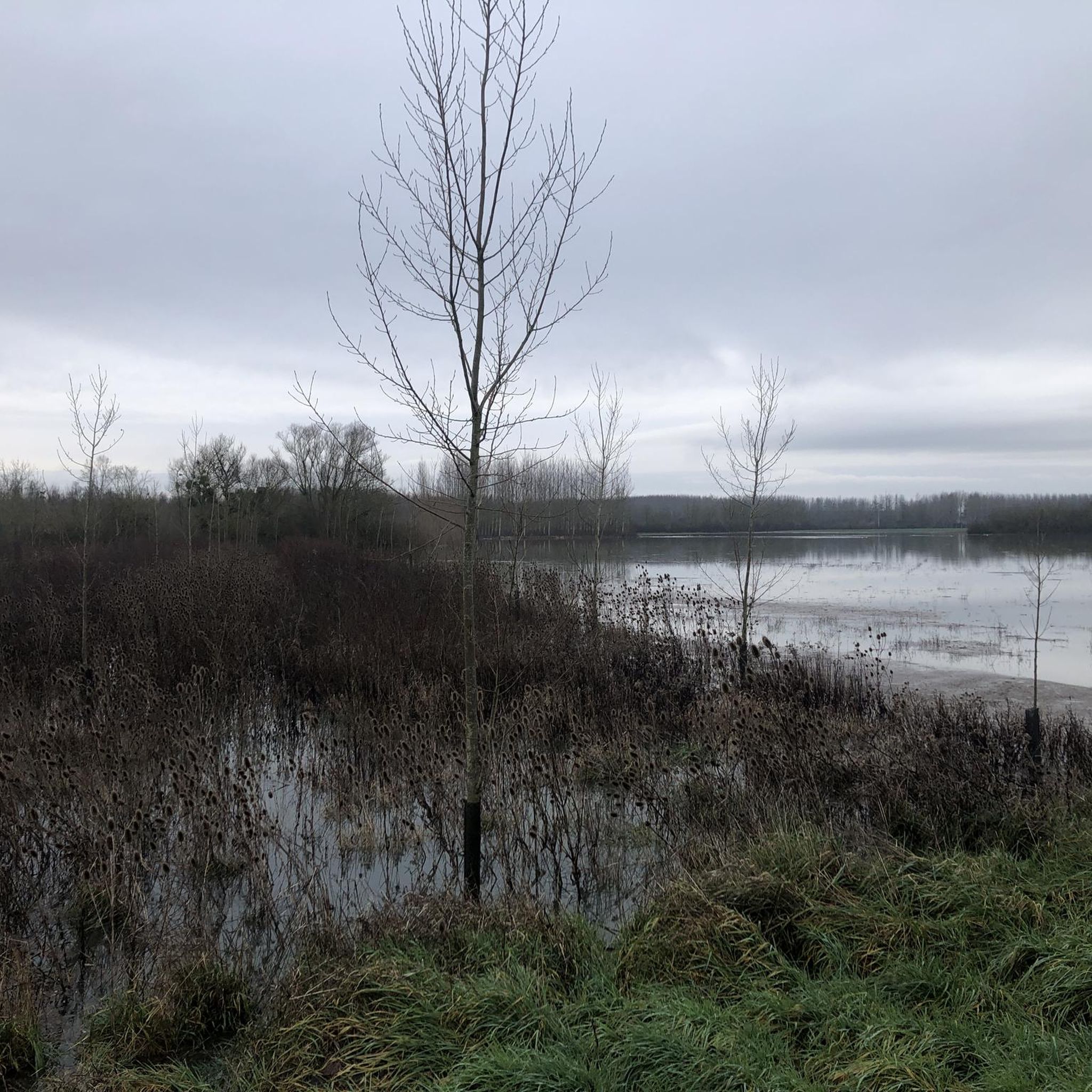
The lake's water level is at its highest at the end of June, and at its lowest at the end of October - at that time, a large part of the lake is flooded, and the remains of the stumps of the former trees can still be seen.
0
0

View of the lake and the only kind bird world
3
0
Wonderful to walk around the lake, to swim but above all to watch the birds 👀
1
0
Now at the beginning of October it is simply beautiful 🤩
1
0
Great place to observe the variety and quantity of birds and bird species
0
0
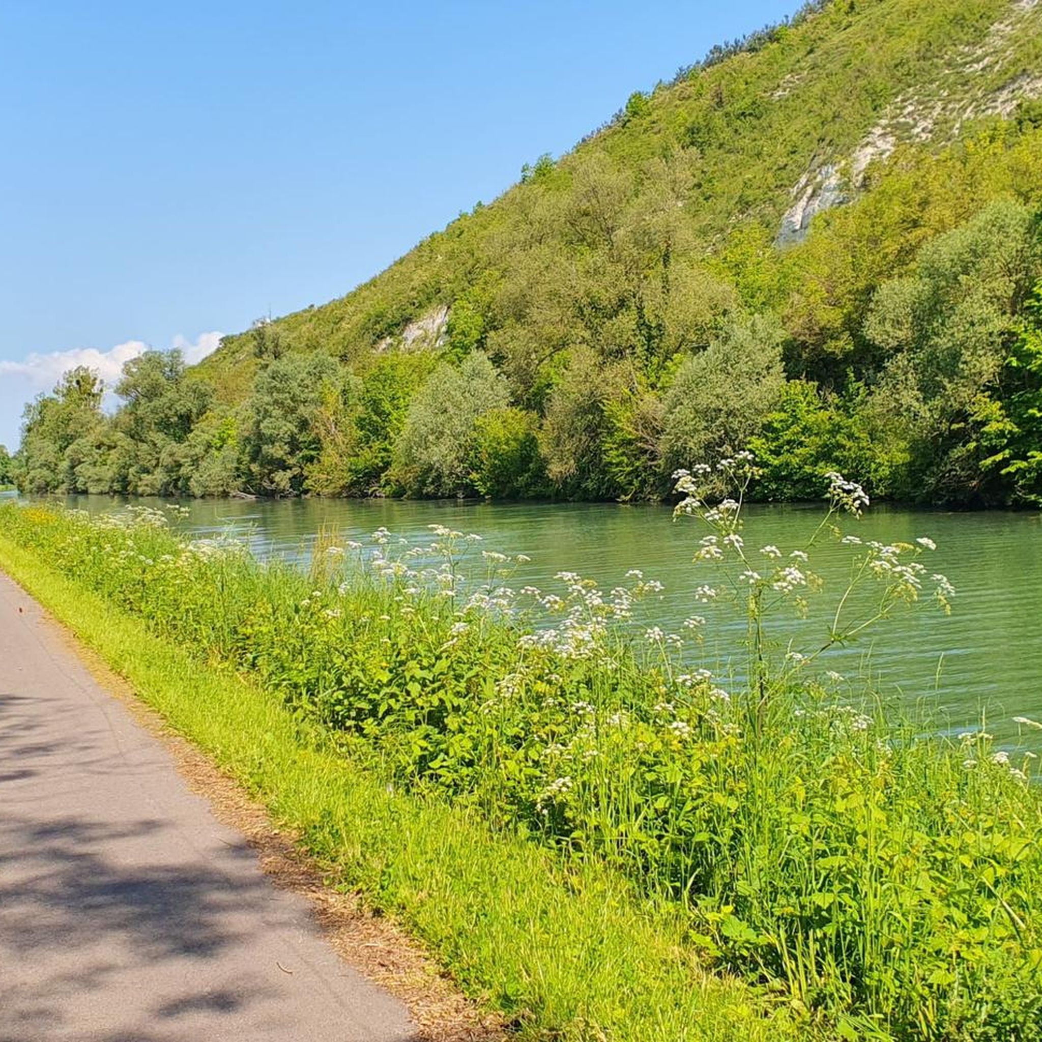
Wonderful view of the canal and the memorial stone from July 2, 1974 for the inauguration of the dam
3
0

The attractive seawall provides an ideal setting for relaxing walks and enjoying the fresh sea air. A perfect option for a relaxing moment. In summer, it is often easily accessible without water.
1
0
The Green Way, with its asphalt surface, offers pedestrians and cyclists panoramic views of the lake and its surroundings.
2
0
Frequently Asked Questions
What kind of terrain can I expect on gravel bike trails around Blaise-Sous-Arzillières?
The region offers a diverse landscape ideal for gravel biking. You'll find extensive forests with varied terrain, as well as paths along waterways like the Marne River, the Isson, and the Canal de la Blaise. Proximity to Lac du Der-Chantecoq also means routes with views of the lake and its surroundings, providing a mix of dirt tracks, gravel paths, and quiet roads.
Are there any easy gravel bike routes suitable for beginners or families?
Yes, there are routes suitable for different ability levels. For an easier option, consider the View of Lac du Der – Campsite beach loop from Arrigny. This 20.8 km (12.9 miles) trail is rated as easy and leads through areas near Lac du Der, often completed in about 1 hour 32 minutes.
Where can I find longer or more challenging gravel bike routes in the area?
For a more challenging experience, the Bike path – Porte du Pont loop from Vitry-le-François is a difficult 69.1 km (42.9 miles) trail that offers extensive riding and takes over 6 hours to complete. Another difficult option is the Auf dem Platz des armes – Mont de Fourche loop from Vitry-le-François, which is 42.7 km (26.5 miles) long.
What are some points of interest or attractions I can see along the gravel bike routes?
Many routes offer scenic views and pass by interesting landmarks. You might encounter the Place d'Armes of Vitry-le-François, or ride along the Cycle path along the Canal latéral à la Marne. Other notable sights include the Porte du Pont, Châlons-en-Champagne, and the impressive Canal aqueduct over the Marne.
Are there any circular gravel bike routes available?
Yes, many of the gravel bike routes in the area are designed as loops. Examples include the Bike path – Porte du Pont loop from Vitry-le-François, the Lac de Der – View of Lac du Der-Chantecoq loop from Arrigny, and the View of Lac du Der – Campsite beach loop from Arrigny, all offering a return to your starting point.
What do other gravel bikers say about the trails in Blaise-Sous-Arzillières?
The gravel biking routes around Blaise-Sous-Arzillières are highly rated by the komoot community, with an average score of 4.25 stars from over 3 reviews. Reviewers often praise the varied terrain, from dense woodlands to scenic river and canal paths, and the beautiful routes near Lac du Der-Chantecoq.
Can I expect to see wildlife while gravel biking in this region?
The extensive forested environment around Blaise-sous-Arzillières is home to various wildlife. Riders often report seeing wild boars, rabbits, ravens, and owls, especially in the quieter, more natural sections of the trails. The proximity to Lac du Der-Chantecoq also means opportunities for birdwatching, particularly cranes in spring.
What is the best time of year for gravel biking around Blaise-Sous-Arzillières?
The region is generally pleasant for cycling from spring through autumn. Spring offers vibrant greenery and bird migrations, while autumn provides beautiful foliage. Summer is also suitable, though it can be warmer. The extensive forests offer good shade during hotter days, and river/canal paths are often breezy.
Are there any routes that offer views of Lac du Der-Chantecoq?
Absolutely. The Lac de Der – View of Lac du Der-Chantecoq loop from Arrigny is a popular moderate route specifically designed to provide views of the lake and its surroundings. The View of Lac du Der – Campsite beach loop from Arrigny also leads through areas near the lake.
Is it possible to access the Marne Valley cycle path (V52) from near Blaise-Sous-Arzillières?
While Blaise-Sous-Arzillières is not directly on the V52, its proximity to Vitry-le-François suggests that access points to the Marne Valley cycle path are within reach. Many local routes, such as those originating from Vitry-le-François, connect to or run parallel to the canal and river systems that form part of the wider cycle network.
Are there any cafes or places to eat near the gravel bike trails?
While specific cafes directly on the trails are not detailed, the nearby towns like Vitry-le-François and Arrigny, especially around Lac du Der-Chantecoq, offer various options for cafes, restaurants, and accommodation. It's advisable to plan your route to pass through these towns for refreshment stops.
What are the typical elevation changes on gravel bike routes in this area?
The elevation changes vary significantly depending on the route. Some routes, particularly those closer to Lac du Der or along canals, are relatively flat, like the View of Lac du Der – Campsite beach loop from Arrigny with about 77 meters of ascent. More difficult routes, such as the Bike path – Porte du Pont loop from Vitry-le-François, can have over 640 meters of elevation gain, offering more challenging climbs.
Most popular routes around Blaise-Sous-Arzillières
Most popular attractions around Blaise-Sous-Arzillières

Get inspired with the komoot mobile app


Explore more
Browse the best Gravel rides in other regions.
