The best gravel rides around Saint-Étienne-Du-Vigan
4.5
(31)
212
riders
25
rides
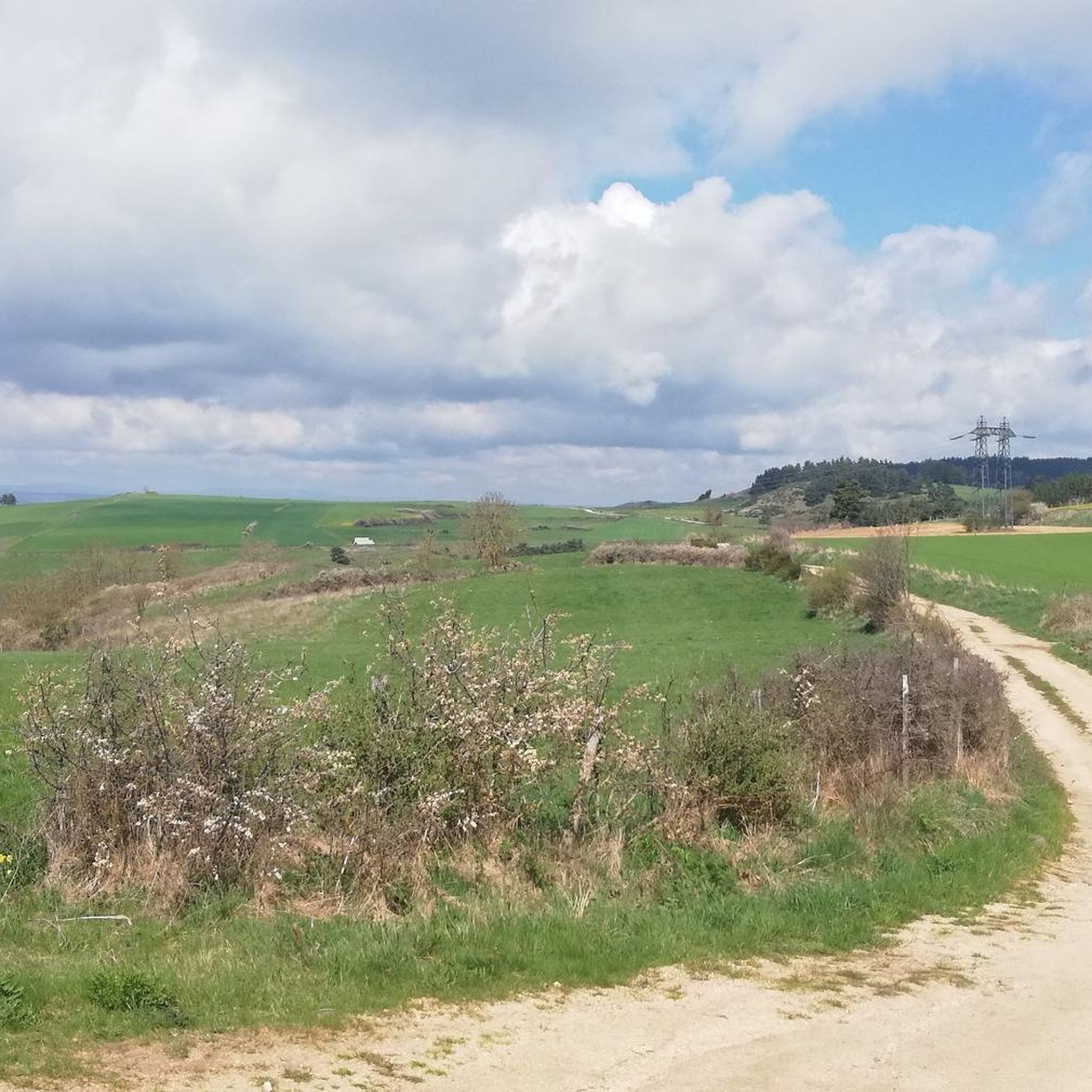
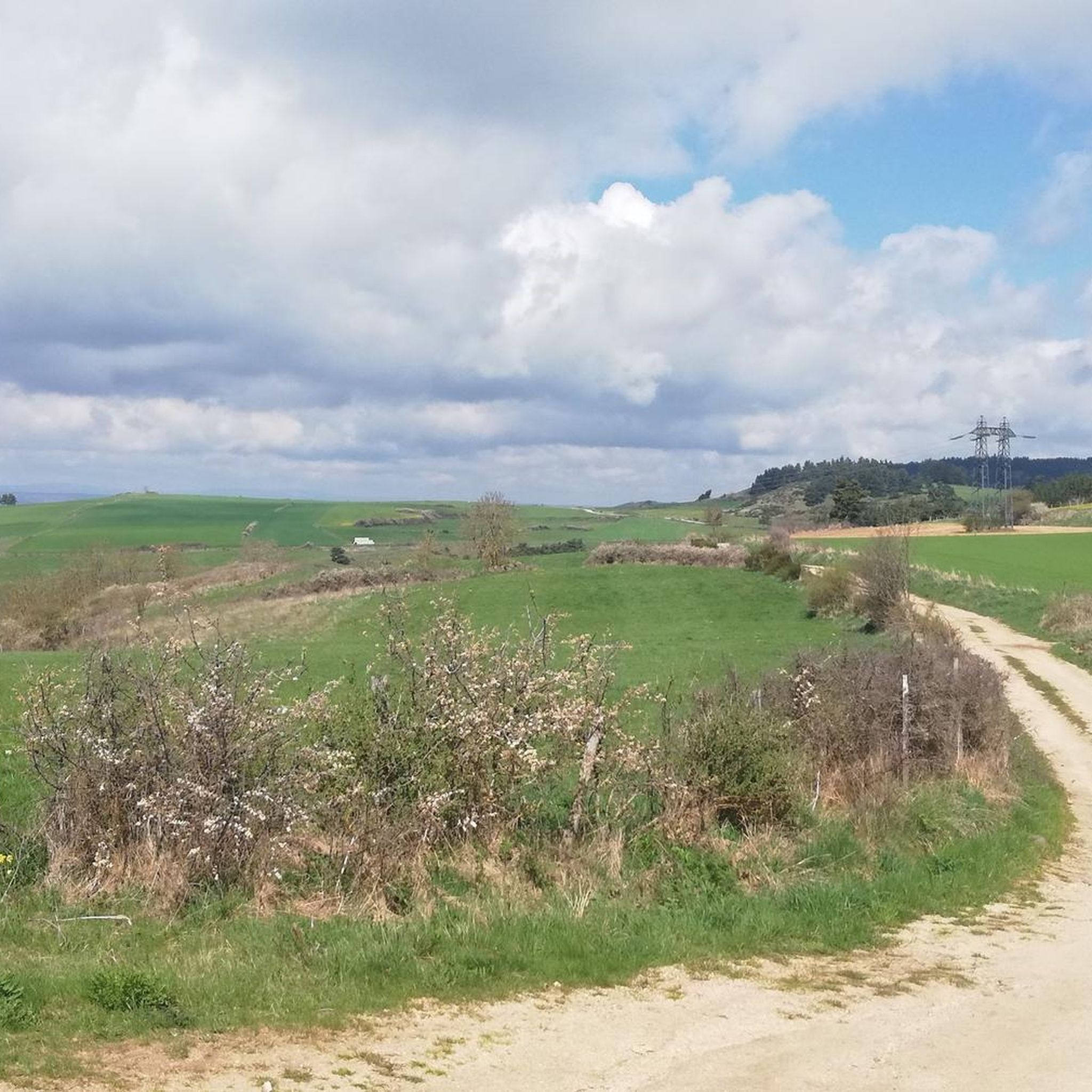
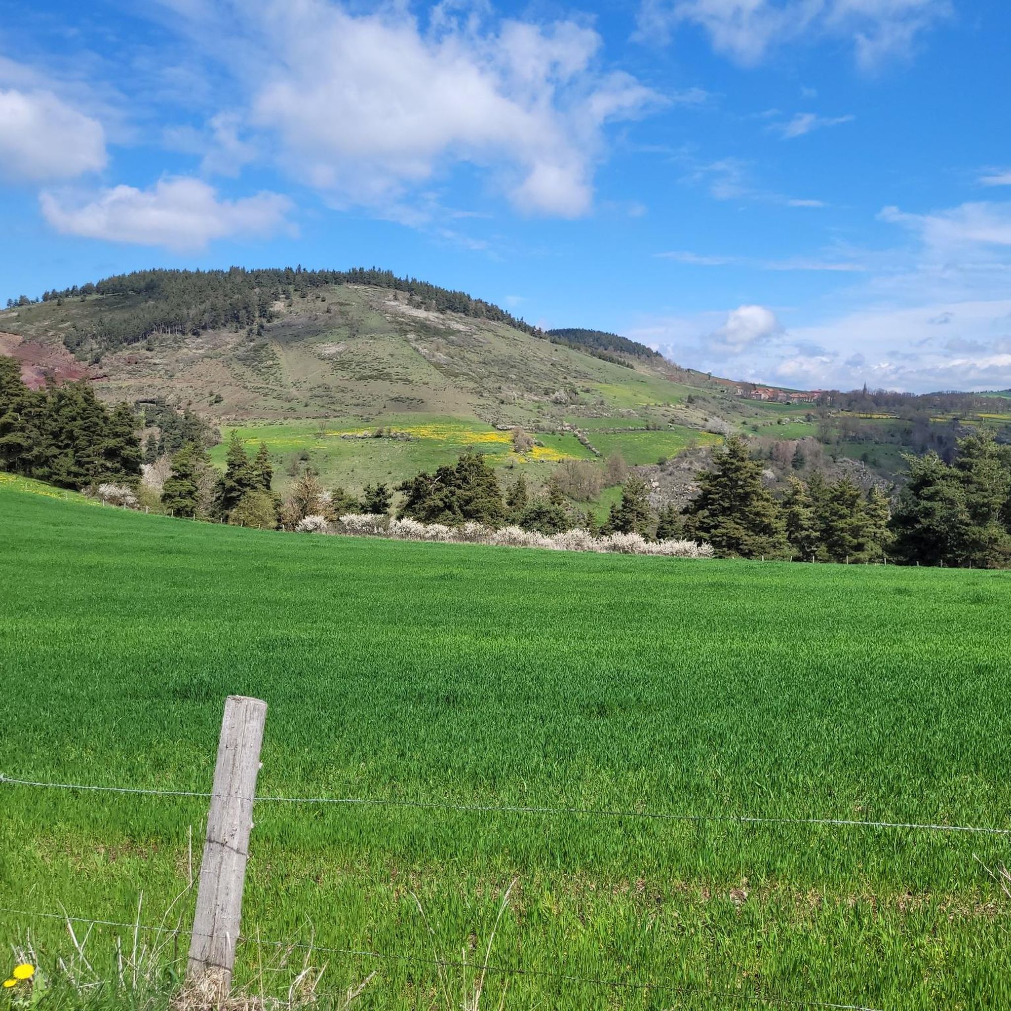
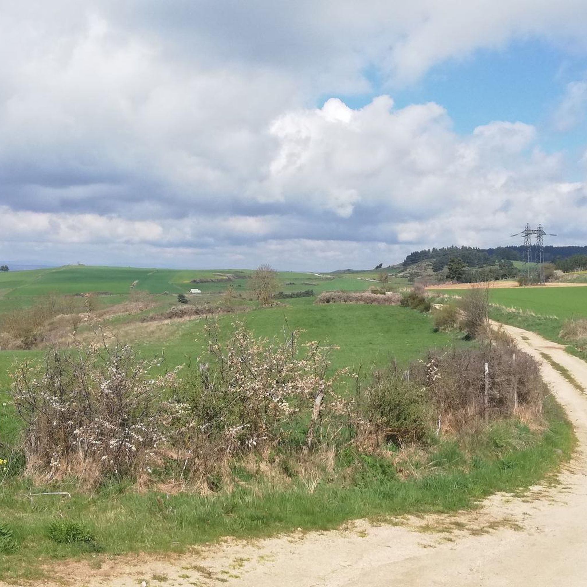
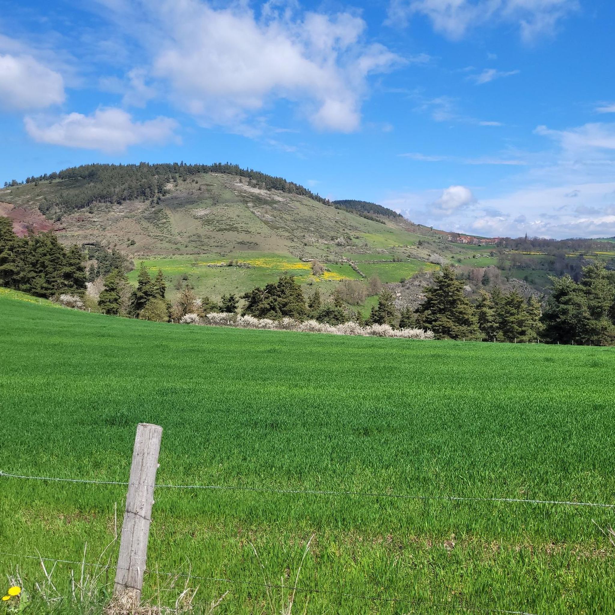
Gravel biking around Saint-Étienne-Du-Vigan offers diverse terrain within the Haute-Loire department, characterized by elevations ranging from 872 to 1164 meters. The landscape features volcanic formations, including "sucs" or small volcanic hills, and extensive forests. Gravel routes often traverse these varied environments, providing a mix of paths through woodlands and open areas. The region's geography ensures a dynamic gravel biking experience with both smoother sections and more technical terrain.
Best gravel bike trails around Saint-Étienne-Du-Vigan
- The most popular gravel bike trail…
Last updated: July 2, 2026
3.0
(2)
21
riders
37.4km
02:57
570m
570m
Hard gravel ride. Very good fitness required. Mostly paved surfaces. Suitable for all skill levels.
4.6
(9)
42
riders
41.5km
02:52
450m
450m
Hard gravel ride. Very good fitness required. Mostly paved surfaces. Suitable for all skill levels.

Sign up for free
11
riders
66.4km
04:49
980m
980m
Hard gravel ride. Very good fitness required. Mostly paved surfaces. Suitable for all skill levels.
4.3
(6)
14
riders
32.5km
02:26
480m
480m
Hard gravel ride. Very good fitness required. Mostly paved surfaces. Suitable for all skill levels.
11
riders
79.7km
06:19
1,360m
1,360m
Hard gravel ride. Very good fitness required. Mostly paved surfaces. Suitable for all skill levels.
Get access to more routes and recommendations from other explorers.
Sign up for free
Already have an account?
Our route recommendations are based on thousands of hikes, rides, and runs completed by other people on komoot.
Start today with a free account
Your next adventure awaits.
Login or Signup
Tips from the Community

These ruins once housed the Choisinets castle and orphanage. The construction of this unusual building spanned the entire second millennium. The ruins of two towers dating from the 12th and 17th centuries are still in good condition, testifying to the various architectural influences.
0
0

Lac de Charpal lies at an altitude of 1,360 meters amidst raised bogs, forests, and heathland. This artificial reservoir, built in the 1930s, supplies Mende with drinking water. Today, it is a tranquil retreat, popular for hiking, nature observation, and its protected flora and fauna.
0
0
Lac de Charpal lies at an altitude of 1,360 meters amidst raised bogs, forests, and heathland. This artificial reservoir, built in the 1930s, supplies Mende with drinking water. Today, it is a tranquil retreat, popular for hiking, nature observation, and its protected flora and fauna.
0
0

Market on Tuesdays (summer) and Saturdays
0
0
There we found the Meteil bread seller (a mixture of rye and sourdough) from the previous day's market in Costaros, under the market hall. Producers of fruit and vegetables, cheeses, and charcuterie. Everything for an ideal picnic.
0
0
Rehabilitation work in progress. Please note that the site is not on the route. You must take a 200m detour from the intersection with the statue of Saint Germaine.
0
0

Very nice walk, the first part is a little difficult to access the lake because of the big difference in altitude. But the tour of the lake is very pleasant, and accessible with children (10 years old)
0
0

Frequently Asked Questions
How many gravel bike trails are available around Saint-Étienne-Du-Vigan?
There are over 25 gravel bike trails available around Saint-Étienne-Du-Vigan. These routes offer a diverse range of experiences, from challenging climbs to scenic paths through volcanic landscapes and forests.
What kind of terrain can I expect on gravel bike trails in Saint-Étienne-Du-Vigan?
The terrain around Saint-Étienne-Du-Vigan is quite varied, characterized by its unique volcanic landscapes, including small volcanic hills known as "sucs." You'll find routes traversing extensive forests and woodlands, as well as sections with more technical surfaces like sand, roots, or loose gravel. The elevation ranges from approximately 872 to 1164 meters, ensuring a dynamic and engaging gravel biking experience.
What are the difficulty levels of gravel biking routes in Saint-Étienne-Du-Vigan?
The majority of gravel biking routes in Saint-Étienne-Du-Vigan are considered difficult, with 22 out of 25 routes falling into this category. There are also 3 moderate routes available. These trails are designed to offer a challenging and rewarding experience, often featuring significant elevation changes and varied surfaces.
Are there any long-distance gravel routes near Saint-Étienne-Du-Vigan?
Yes, there are several longer gravel routes. For example, the Lake Naussac – View of Lac de Naussac loop from Langogne is a substantial 41.2-mile (66.4 km) trail that takes you through volcanic landscapes and past Lake Naussac, typically completed in about 4 hours 49 minutes. Other routes also offer significant distances for extended rides.
What is the best time of year for gravel biking in Saint-Étienne-Du-Vigan?
The region's diverse terrain, including high-altitude pastures and forests, suggests that spring, summer, and early autumn are ideal for gravel biking. During these seasons, the weather is generally more favorable, and the natural landscapes are at their most vibrant. Winter conditions might introduce snow or ice, making some trails more challenging or inaccessible.
What natural features or landmarks can I see while gravel biking in Saint-Étienne-Du-Vigan?
Many routes offer views of significant natural features like Lake Naussac, a prominent hub for outdoor activities. You'll also encounter the region's distinctive volcanic formations and extensive forests. For historical interest, the charming village of Pradelles, recognized as a "Most Beautiful Village," is just 4 km away and features sites like the Chapel of Our Lady at Saint James Hospital. The ruins of Château d'Arlempdes, perched on a volcanic peak, are also nearby.
Are there any family-friendly gravel trails in Saint-Étienne-Du-Vigan?
While many routes in the area are rated as difficult, the diverse terrain of the Haute-Loire means there are likely sections or shorter paths suitable for families. It's recommended to check individual route details for specific difficulty ratings and elevation profiles to find the most appropriate options for your family's skill level.
Are there any circular gravel biking routes in the area?
Yes, many of the gravel biking routes around Saint-Étienne-Du-Vigan are designed as loops. For instance, the View of Lake Naussac – Lake Naussac loop from Langogne and the Langogne commune – View of Lake Naussac loop from Langogne are excellent examples of circular routes that allow you to start and finish in the same location.
What do other gravel bikers enjoy the most about gravel biking in Saint-Étienne-Du-Vigan?
The area is highly rated by the komoot community, with an average score of 4.4 stars from over 20 reviews. Gravel bikers often praise the varied terrain, which includes volcanic landscapes, forests, and high-altitude pastures, offering a dynamic and scenic experience. The presence of Lake Naussac and charming villages like Pradelles also adds to the appeal.
Are there options for parking near the gravel bike trails?
While specific parking locations are not detailed for every trail, starting points for many routes, such as those originating from Langogne, typically offer parking facilities. It's advisable to check the starting point of your chosen route on komoot for more precise parking information.
Can I access gravel bike trails using public transport?
Information on direct public transport access to specific trailheads is not readily available. However, Saint-Étienne-Du-Vigan is located within the Auvergne-Rhône-Alpes region, which has regional transport networks. For routes starting in towns like Langogne, it's worth investigating local bus or train services that might connect to the area, though direct access to remote trailheads might be limited.
Are there any cafes or places to stop for refreshments along the gravel routes?
While the routes often traverse natural and sometimes remote areas, towns and villages like Pradelles (a "Most Beautiful Village" just 4 km away) and Langogne, which serve as starting points for many loops, are likely to offer cafes, restaurants, and other amenities where you can stop for refreshments.
What makes the volcanic landscapes unique for gravel biking here?
The volcanic landscapes, characterized by "sucs" (small volcanic hills) and dormant volcanoes, create a unique and rugged environment for gravel biking. These formations contribute to varied elevations and offer panoramic viewpoints, making for visually stunning and geologically interesting rides. The trails often wind through these ancient volcanic features, providing a distinct experience compared to other regions.
Most popular routes around Saint-Étienne-Du-Vigan
Most popular attractions around Saint-Étienne-Du-Vigan

Get inspired with the komoot mobile app


Explore more
Browse the best Gravel rides in other regions.
