The best gravel rides around Rigaud
4.8
(8)
68
riders
7
rides
Gravel biking around Rigaud, Quebec, is characterized by diverse landscapes, including the prominent Mont Rigaud and areas bordering Lac des Deux-Montagnes and the Ottawa River. The region features extensive trail networks through mixed forests and along alluvial plains, offering varied terrain for cyclists. Riders can expect views of the Ottawa River valley and Lake of Two Mountains, with routes sometimes following the Rigaud River. This topography provides a dynamic experience for gravel bikers.
Best gravel bike trails around Rigaud
- The…
Last updated: October 19, 2026
4.5
(4)
21
riders
28.1km
02:35
750m
750m
Hard gravel ride. Very good fitness required. Mostly paved surfaces. Suitable for all skill levels.
5.0
(3)
15
riders
39.9km
03:26
1,010m
1,010m
Hard gravel ride. Very good fitness required. Mostly paved surfaces. Suitable for all skill levels.

11
riders
55.1km
04:57
1,410m
1,410m
Hard gravel ride. Very good fitness required. Mostly paved surfaces. Suitable for all skill levels.
13
riders
105km
08:43
3,220m
3,230m
Hard gravel ride. Very good fitness required. Mostly paved surfaces. Suitable for all skill levels.
5.0
(1)
8
riders
24.5km
02:11
630m
630m
Hard gravel ride. Very good fitness required. Mostly paved surfaces. Suitable for all skill levels.
Get access to more routes and recommendations from other explorers.
Already have an account?
Our route recommendations are based on thousands of hikes, rides, and runs completed by other people on komoot.
Start today with a free account
Your next adventure awaits.
Tips from the Community

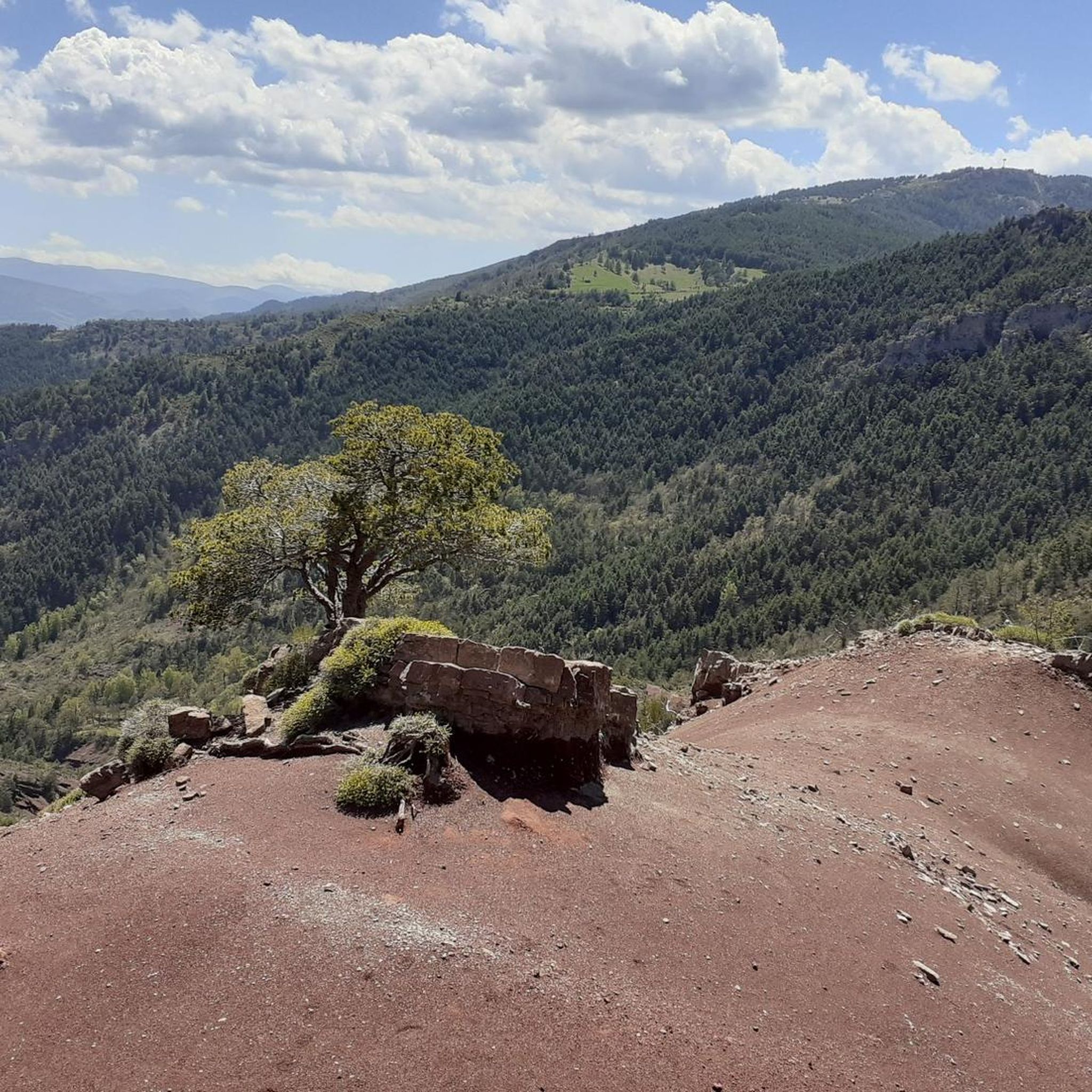
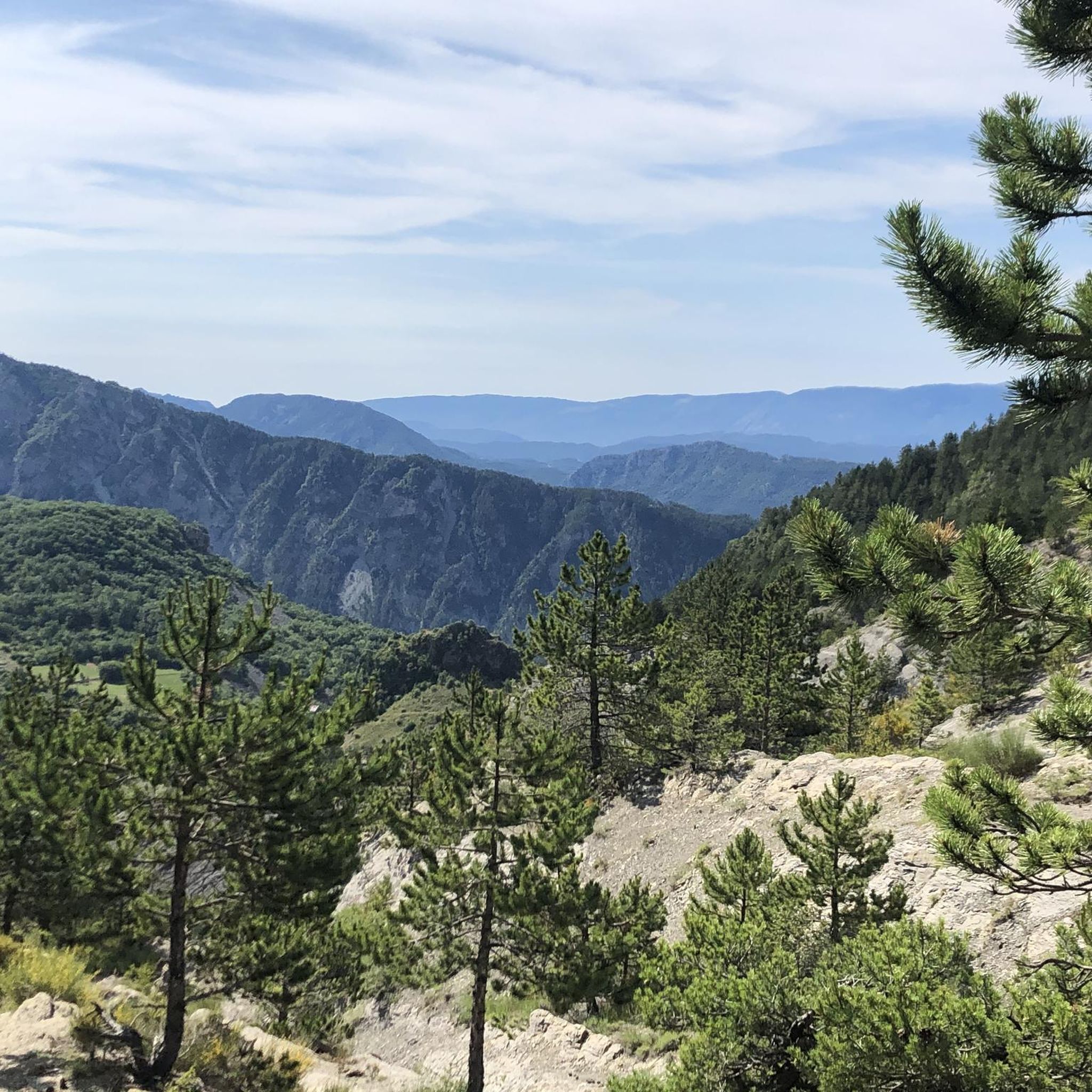
Leaving the stunning Gorges du Cian, you arrive at Beuil, which welcomes you with this view
0
0

Quiet road the D29. Nice climb.
0
0

The Col de Sainte-Anne is a pass at an altitude of 425 meters in the French department of Bouches-du-Rhône.
0
1
The Col de la Couillole is a mountain pass in the Massif du Mercantour-Argentera of the French Alps, situated at an altitude of 1,678 m (5,505 ft) in the Alpes-Maritimes department, France. The road connection is open for six to seven months of the year, allowing travel between the Cians gorges in the west and the Tinée valley in the east.
0
0
The Col de la Couillole is a mountain pass in the Massif du Mercantour-Argentera of the French Alps, situated at an altitude of 1,678 m (5,505 ft) in the Alpes-Maritimes department, France. The road connection is open for six to seven months of the year, allowing travel between the Cians gorges in the west and the Tinée valley in the east.
0
0


Very welcome drinking water fountain after the strenuous Col de Valberg
0
0

Highly recommended climb from Guillaumes to Valberg. The first stretch to Peonne is a bit flatter and then it goes through the forest through countless hairpin bends up to Valberg on a quiet road.
0
0
Frequently Asked Questions
How many gravel bike trails are available in the Rigaud area?
Komoot currently features 8 challenging gravel bike routes around Rigaud. These routes are generally suited for experienced riders due to their difficulty.
What is the general difficulty level of gravel biking in Rigaud?
The gravel bike routes listed on komoot for Rigaud are all classified as difficult. They often feature significant elevation gain and varied terrain, making them best suited for experienced gravel bikers looking for a challenge.
Are there any specific landmarks or natural features to look out for on Rigaud's gravel trails?
While the komoot routes listed focus on the riding experience, the Rigaud area itself is rich in natural beauty. You'll find trails amidst ancient forests and near Mont Rigaud, offering panoramic views. Some routes may pass by notable points like Bride's Bridge or offer views of various gorges, such as the Daluis gorges.
What do other gravel bikers enjoy most about riding in Rigaud?
The gravel biking experience in Rigaud is highly rated by the komoot community, with an average score of 5.0 stars from over 6 reviews. Riders often praise the challenging terrain and the diverse landscapes that make for an engaging and rewarding ride.
Are there any long-distance gravel routes for experienced riders in Rigaud?
Yes, for experienced riders seeking a longer challenge, the View of the Gorges du Var – Col de la Couillole loop from Valberg is a significant option. This route spans approximately 104.6 km and involves substantial elevation gain, typically taking over 10 hours to complete.
Are there any circular gravel routes available in Rigaud?
Many of the gravel routes in Rigaud are designed as loops. For instance, you can explore the Col de la Couillole – Col de Sainte-Anne loop from Valberg, which covers nearly 40 km through mountainous landscapes.
What is the best time of year for gravel biking in Rigaud?
Rigaud offers outdoor activities year-round. For gravel biking, spring to fall generally provides the most favorable conditions. During winter, some trails transform for snowshoeing, cross-country skiing, or fatbiking, so conditions for gravel biking may vary and require specific equipment.
Are there any specific viewpoints along the gravel bike trails in Rigaud?
While specific viewpoints are not always explicitly marked on every route, the region's diverse landscapes, especially around Mont Rigaud, naturally offer scenic vistas. Routes like the View of the Gorges du Var – Col de la Couillole loop from Valberg are named for their panoramic views, suggesting excellent opportunities for scenic stops.
What kind of terrain can I expect on Rigaud's gravel bike trails?
Gravel biking in Rigaud features diverse landscapes, from ancient forests to areas near Lac des Deux-Montagnes and the Ottawa River. The trails often include varied terrain with significant elevation changes, particularly around Mont Rigaud, providing a mix of challenging climbs and scenic paths.
Are there any shorter, yet still challenging, gravel routes in Rigaud?
Yes, if you're looking for a challenging ride that's not as long as the multi-hour epics, consider the Col du Raton – Raton loop from Valberg. This difficult route is about 25 km long and still offers a good workout with its elevation gain.
Can I find any mountain passes on the gravel routes in Rigaud?
Yes, some of the gravel routes in the broader region of Rigaud incorporate mountain passes. For example, the Col de la Couillole – Ascent to Col de la Couillole loop from Buisses includes significant climbing to a mountain pass, offering a challenging experience and potentially rewarding views.
Most popular attractions around Rigaud

Get inspired with the komoot mobile app


Explore more
Browse the best Gravel rides in other regions.
