The best gravel rides around Latoue
4.0
(4)
17
riders
3
rides
Gravel biking around Latoue, located in the Occitanie region of France, offers diverse terrain for cyclists. The area features a mix of secondary roads, dirt tracks, and forest trails, providing varied surfaces for gravel riding. Proximity to the Pyrenees contributes to hilly and mountainous sections, while regional rivers and canals offer flatter, scenic paths. The landscape includes wooded areas and significant elevation gains on some routes.
Best gravel bike trails around Latoue
- The most popular gravel bike trail is Mud – Along canal loop from Villeneuve-de-Rivière, a 22.1 miles (35.6 km) trail that takes 2 hours 37 minutes to complete. This difficult route features sections along a canal, indicating varied surfaces.
- Another top favourite among local gravel bikers is Along canal – Arboretum loop from Villeneuve-de-Rivière, a difficult 25.5 miles (41.0 km) path. This route combines canal-side riding with arboretum scenery, offering a mix of open and wooded environments.
- Local gravel bikers also love the Larrieu Pass – Col de Larrieu (704 m) loop from Labarthe-Inard, a 39.3 miles (63.3 km) trail leading through mountainous terrain with significant elevation, often completed in about 5 hours 26 minutes.
- Gravel biking around Latoue is defined by varied terrain including forest roads, canal paths, and significant elevation gains in the hilly sections. The network offers options for experienced riders seeking challenging routes.
- The routes in Latoue are highly rated by the komoot community with an average score of 3.5 stars from 2 reviews. More than 10 gravel bikers have used komoot to explore Latoue's varied terrain.
Last updated: July 2, 2026
3.0
(1)
6
riders
35.6km
02:38
470m
480m
Hard gravel ride. Very good fitness required. Mostly paved surfaces. Suitable for all skill levels.
4.0
(1)
4
riders
64.7km
04:36
1,140m
1,140m
Hard gravel ride. Very good fitness required. Mostly paved surfaces. Suitable for all skill levels.

Sign up for free
3
riders
83.1km
05:59
1,680m
1,680m
Hard gravel ride. Very good fitness required. Mostly paved surfaces. Suitable for all skill levels.
2
riders
41.0km
02:51
590m
590m
Hard gravel ride. Very good fitness required. Mostly paved surfaces. Suitable for all skill levels.
5.0
(2)
2
riders
32.4km
02:20
480m
480m
Hard gravel ride. Very good fitness required. Mostly paved surfaces. Suitable for all skill levels.
Our route recommendations are based on thousands of hikes, rides, and runs completed by other people on komoot.
Start today with a free account
Your next adventure awaits.
Login or Signup

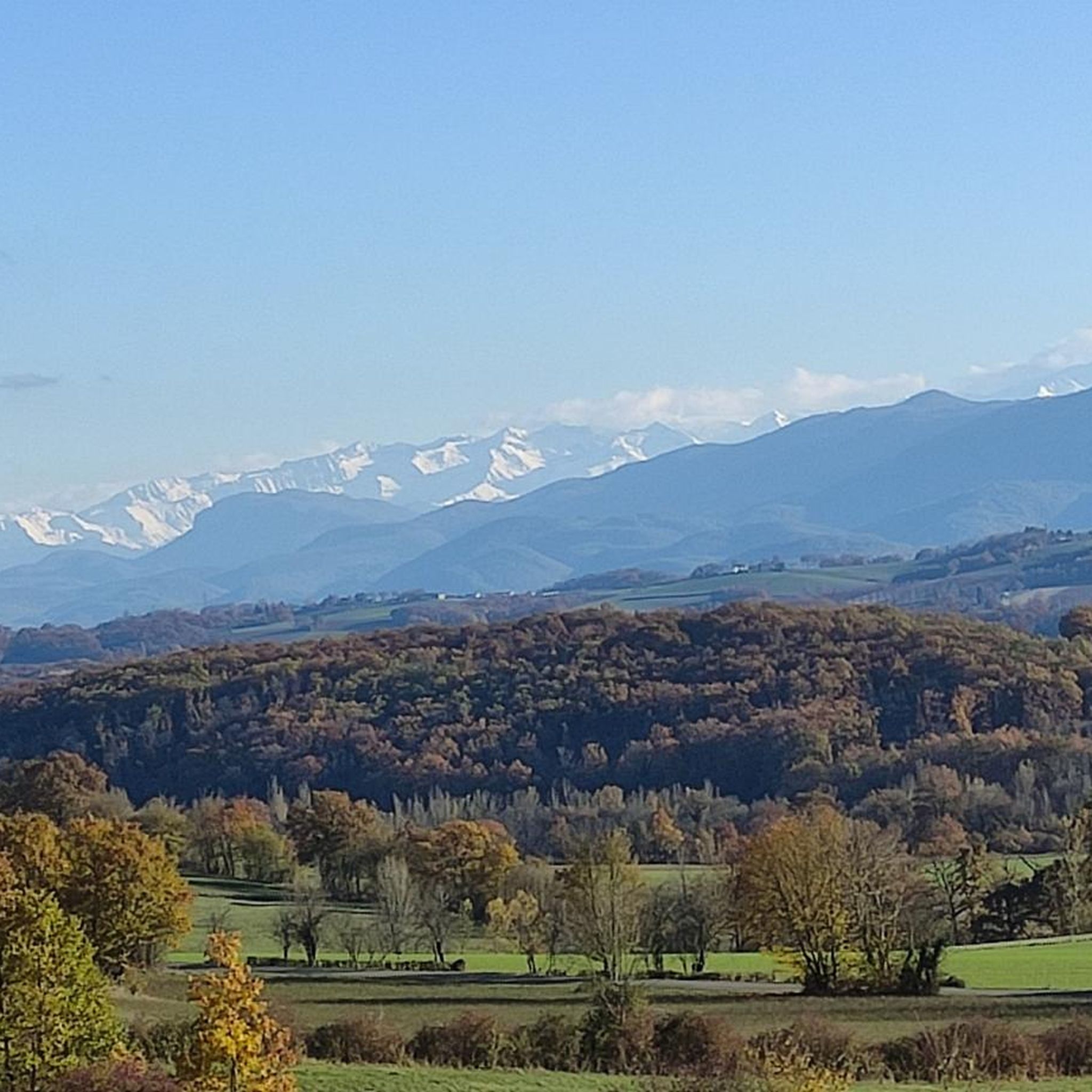
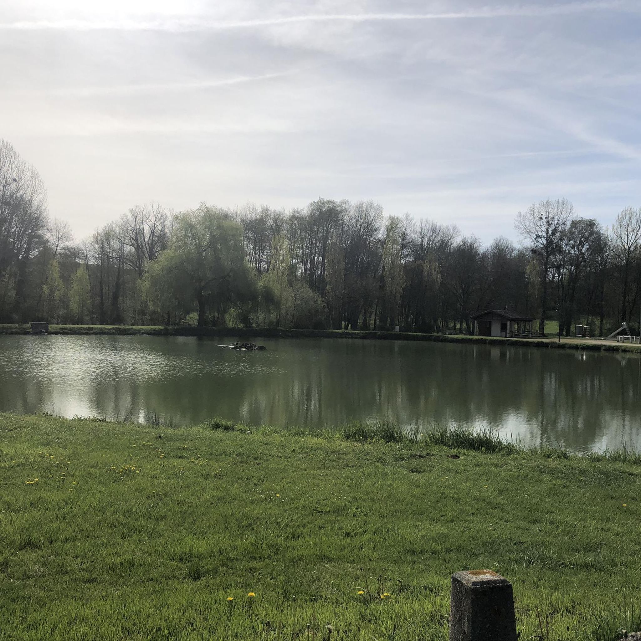
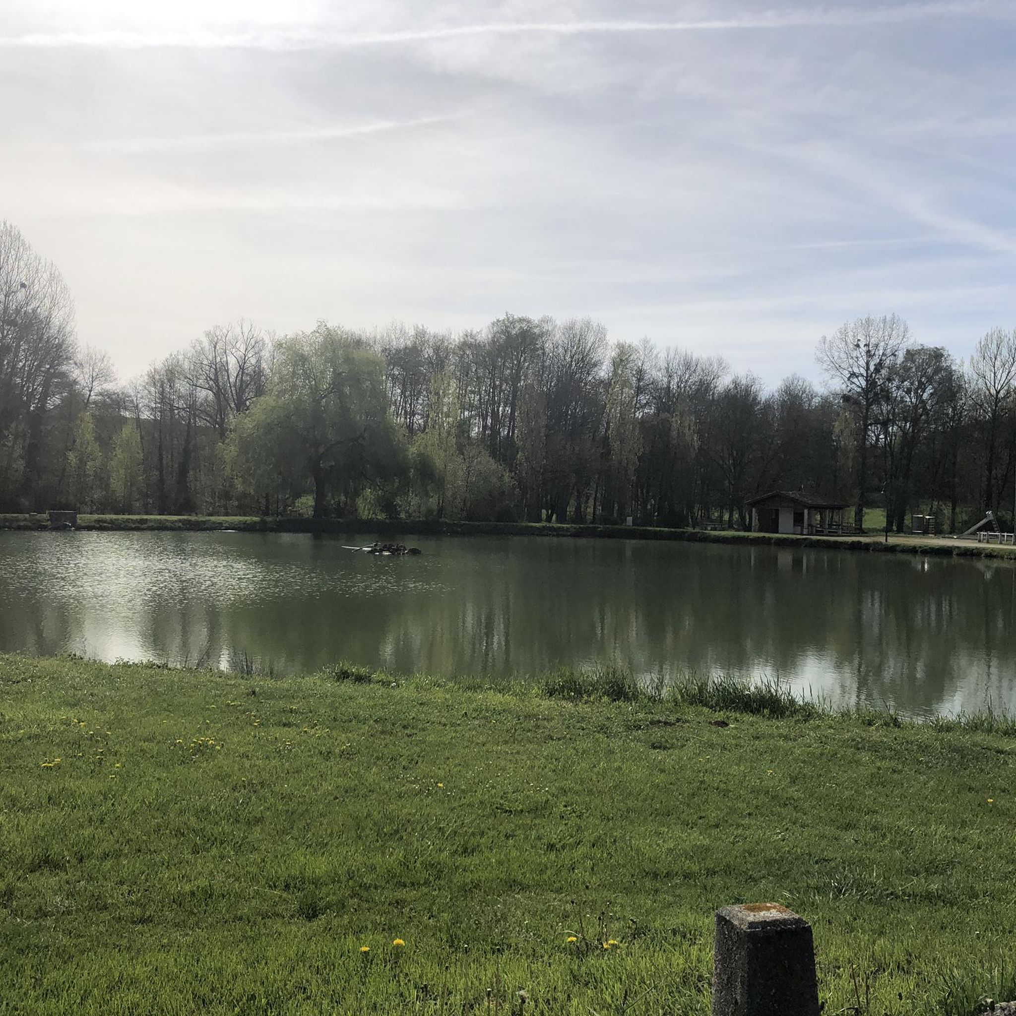

Tips from the Community

A beautiful transitional port between the Le Ger river valley and the Garonne river valley
0
0

Not very long but good percentage
0
0

hard on a mountain bike but it's so beautiful
0
0

Magnificent view for the climb to the pass from Artichan-de-Frontignes, however I found the climb on the other side (from the Col de Buret) more interesting because it was a little longer.
0
0

One of the many viewpoints on the Cagire.
0
0

Nice little pass between the Garonne valley and the Ger valley. More information: https://www.quaeldich.de/paesse/col-des-ares/
2
0
Small intermediate pass on the way to the Col des Ares.
2
0
A short stretch on the Garonne cycle path, unfortunately soon coming to an end. Plastic barriers are better than solid wooden ones, the day before at the V81, the railway line cycle path. Signage is of course part of it, it doesn't need to be mentioned.
3
0
Frequently Asked Questions
What kind of terrain can I expect on gravel bike trails around Latoue?
The Latoue area, situated in the Occitanie region, offers a diverse mix of terrain for gravel biking. You'll find secondary roads, dirt tracks, and forest trails. Proximity to the Pyrenees means some routes feature hilly and mountainous sections with significant elevation gains, while regional rivers and canals provide flatter, scenic paths. The landscape includes wooded areas and varied surfaces.
How many gravel bike trails are available in the Latoue area?
There are 5 gravel bike trails documented around Latoue on komoot. These routes cater to various preferences, with 1 moderate and 4 difficult options available for exploration.
Are there any easy or family-friendly gravel biking routes near Latoue?
While the Latoue area primarily features more challenging routes, with 4 out of 5 trails rated as difficult, there is one moderate route available. For families or beginners, it's advisable to carefully review the route details, including distance and elevation, to ensure it matches your group's capabilities. The region's canal paths often offer flatter sections that might be more suitable for a relaxed ride, though specific easy routes are not highlighted in the current selection.
What are some of the longer and more challenging gravel routes around Latoue?
For experienced riders seeking a challenge, the Buret Pass – Col des Ares loop from Saint-Gaudens is a difficult 81.5 km (50.6 miles) route with substantial elevation gain. Another demanding option is the Larrieu Pass – Col de Larrieu (704 m) loop from Labarthe-Inard, covering 63.3 km (39.3 miles) through mountainous terrain.
What natural features or landmarks can I see along the gravel bike trails near Latoue?
The routes around Latoue offer glimpses of the region's natural beauty and historical sites. You might encounter sections along the Franquevielle Canal from the Cardeilhac Arboretum, offering picturesque canal-side riding. Other notable attractions in the broader area include the Abbaye de Bonnefont, the Stone Bridge and City Gates of Saint-Martory, and even distant views of the Pyrenees on clearer days from higher elevations.
What do other gravel bikers say about the trails in Latoue?
The gravel biking routes around Latoue are rated by the komoot community with an average score of 3.5 stars. While the number of reviews is currently small, the community appreciates the varied terrain, which includes forest roads, canal paths, and significant elevation gains in the hilly sections, offering options for experienced riders seeking challenging routes.
Are there any circular gravel biking routes in the Latoue area?
Yes, several gravel biking routes around Latoue are designed as loops. For example, the Mud – Along canal loop from Villeneuve-de-Rivière and the Along canal – Arboretum loop from Villeneuve-de-Rivière are both popular circular options, allowing you to start and finish at the same point.
What is the best time of year for gravel biking in the Haute-Garonne region?
The Occitanie region, including Haute-Garonne, generally offers pleasant cycling conditions during spring (April-June) and autumn (September-October) when temperatures are milder and the landscapes are vibrant. Summer can be hot, especially in July and August, so early morning or late afternoon rides are recommended. Winter can bring colder temperatures and potentially wet conditions, particularly in higher elevations closer to the Pyrenees.
Are there any cafes or places to stop for refreshments near the gravel trails?
While specific cafes directly on the trails are not detailed, the region has several towns and villages where you can find refreshments. Martres-Tolosane, Cazeres, and Saint-Gaudens are nearby communes that offer amenities. Planning your route to pass through these towns can provide opportunities for a break and a meal.
What are the typical durations for gravel bike rides around Latoue?
The gravel bike routes around Latoue vary significantly in length and difficulty, leading to different durations. Shorter, difficult loops like the Mud – Along canal loop from Villeneuve-de-Rivière can take around 2 hours 37 minutes. Longer, more challenging routes such as the Larrieu Pass – Col de Larrieu (704 m) loop from Labarthe-Inard might take approximately 5 hours 26 minutes, while the longest routes can extend to over 7 hours.
Is public transport or parking available near the gravel biking starting points?
Information on specific public transport links directly to trailheads is limited. However, towns like Villeneuve-de-Rivière, Labarthe-Inard, and Saint-Gaudens, which serve as starting points for several routes, typically offer parking facilities. It's advisable to check local parking options in these towns before your ride.
Most popular attractions around Latoue

Get inspired with the komoot mobile app


Explore more
Browse the best Gravel rides in other regions.
