The best gravel rides around Palairac
4.8
(13)
12
riders
6
rides
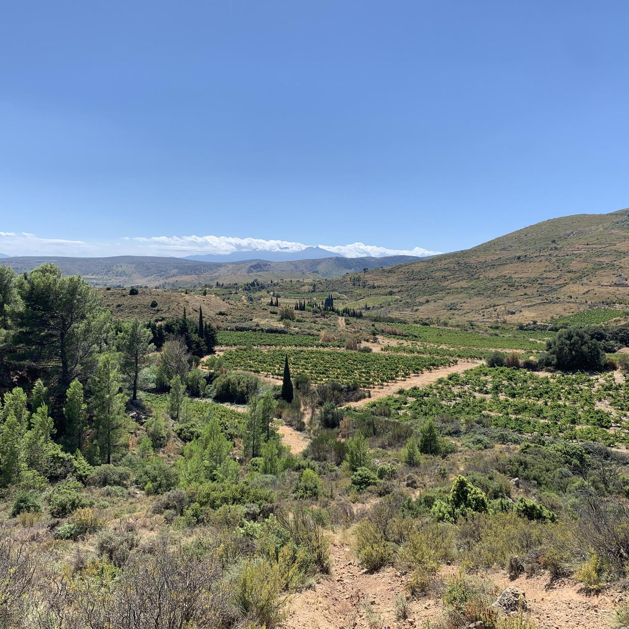
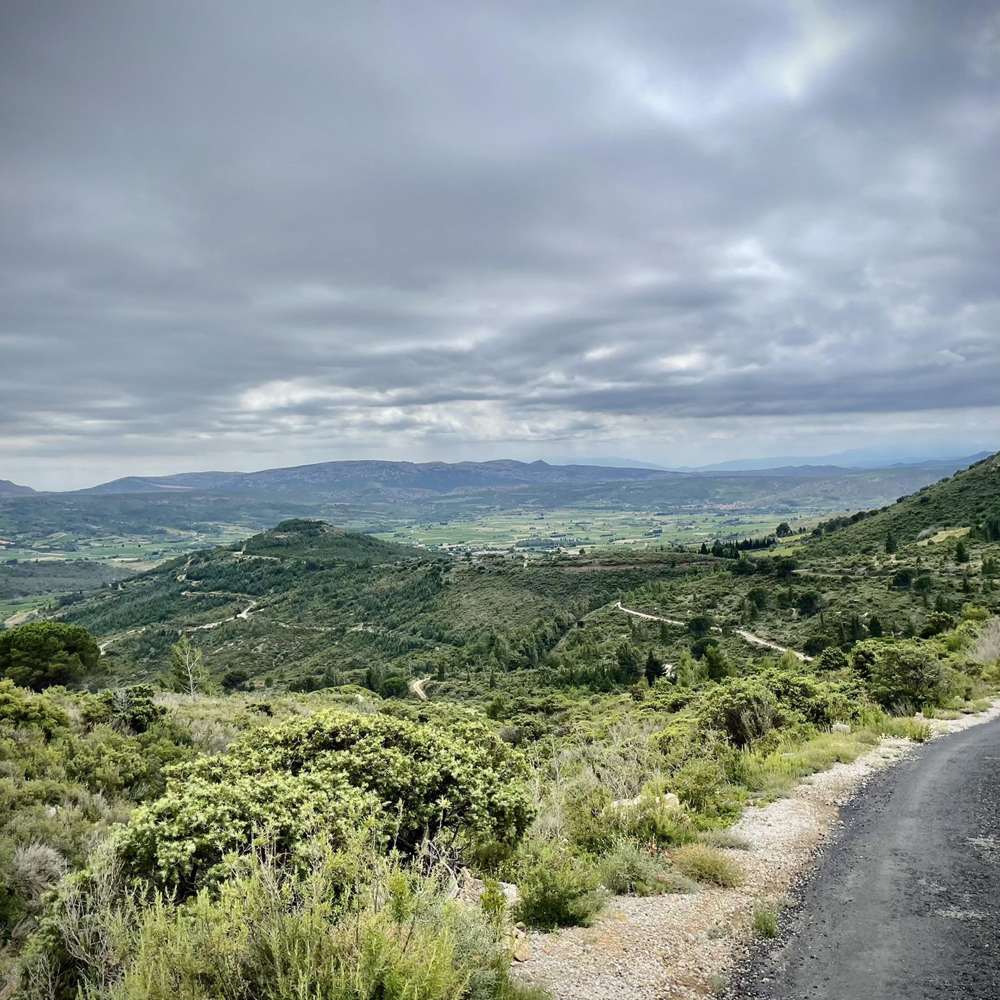
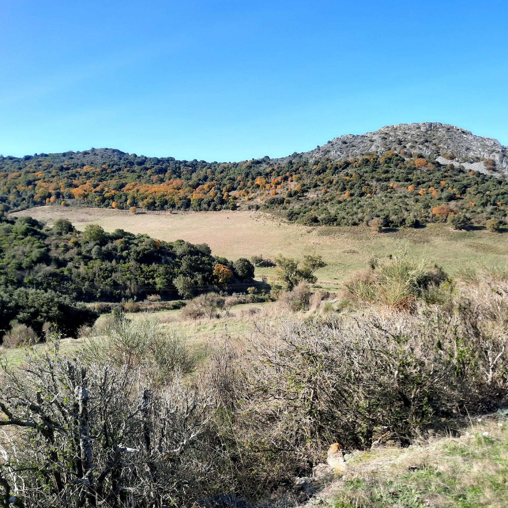
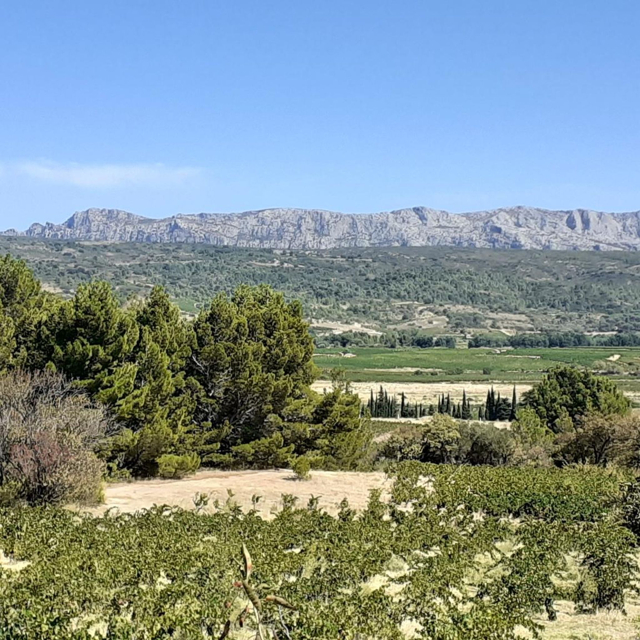
Gravel biking around Palairac offers diverse landscapes within the Aude department of southern France. The region is characterized by the rugged terrain of the Corbières-Fenouillèdes Regional Natural Park, featuring the Corbières mountains and the Roussillon plain. Varied altitudes, ranging from 252 meters to 633 meters, create a dynamic environment with ascents and descents suitable for gravel cycling. Natural features include several gorges, such as Terminet Gorges and Verdouble Gorges, alongside historical trails and varied terrain.
Best gravel bike trails around…
Last updated: July 3, 2026
4.0
(5)
5
riders
41.1km
02:42
530m
530m
Hard gravel ride. Very good fitness required. Mostly paved surfaces. Suitable for all skill levels.
5.0
(1)
1
riders
62.6km
04:59
1,100m
1,100m
Hard gravel ride. Very good fitness required. Mostly paved surfaces. Suitable for all skill levels.

Sign up for free
5.0
(3)
2
riders
22.8km
01:58
420m
420m
Moderate gravel ride. Good fitness required. Mostly paved surfaces. Suitable for all skill levels.
5.0
(1)
1
riders
17.4km
01:29
320m
320m
Moderate gravel ride. Good fitness required. Mostly paved surfaces. Suitable for all skill levels.
5.0
(1)
2
riders
31.5km
02:42
720m
720m
Hard gravel ride. Very good fitness required. Mostly paved surfaces. Suitable for all skill levels.
Our route recommendations are based on thousands of hikes, rides, and runs completed by other people on komoot.
Start today with a free account
Your next adventure awaits.
Login or Signup
Tips from the Community

The French nun, mystic, and Doctor of the Church, Saint Thérèse of Lisieux (religious name Thérèse of the Child Jesus and the Holy Face, 1873 to 1897), expressed her faithful trust in the help of the Mother of God as follows: "When faced with trials or difficulties, I turn to Mother Mary, whose gaze alone is enough to dispel every fear."
0
0

Small chapel with tourist information about attractions in the area.
0
0

Open for visits on Saturdays and Sundays
0
0

Somewhere in the middle of the landscape stands this remarkable chapel.
18
0
The Gorges du Verdouble have now become a popular place to swim, and you now even have to pay to park your car here.
15
0
A pearl of a gorge, wonderful to swim in the lake or enjoy the surrounding rocks and beautiful colours.
0
0

Superb site and superb panorama!
0
0

As soon as you can no longer see the Ventoux in the north, the Pyrenees appear in the south. I'm looking forward to going up there soon
0
0
Frequently Asked Questions
How many gravel bike trails are available around Palairac?
There are several gravel bike trails around Palairac, offering a mix of moderate and difficult routes. The komoot community has mapped 4 distinct routes in the area, providing diverse options for exploration.
What kind of terrain can I expect on gravel bike trails near Palairac?
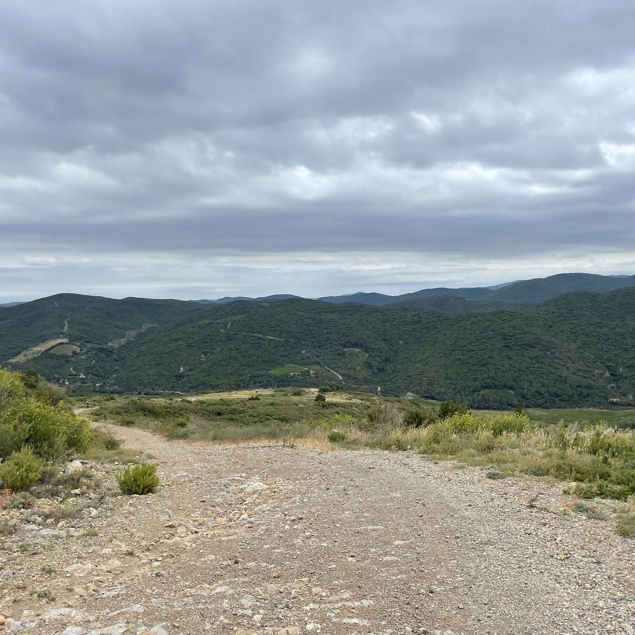
The terrain around Palairac is characterized by the rugged beauty of the Corbières-Fenouillèdes Regional Natural Park. You can expect varied altitudes, ranging from 252 meters to 633 meters, creating a dynamic environment with ascents and descents. Trails often pass through the Corbières mountains, offering a mix of challenging climbs and scenic paths.
Are there any family-friendly gravel biking options in Palairac?
While many routes in Palairac feature significant elevation and are rated moderate to difficult, the region offers diverse landscapes. For families looking for less strenuous options, it's advisable to check the elevation profiles and distances of individual routes. The Tuchan – View from Lagardie loop from Tuchan is a moderate 17.3 km route that might be suitable for more experienced families.
What natural features can I see along the gravel bike trails?
Gravel biking around Palairac allows you to discover stunning natural features. You can encounter impressive gorges like the Terminet Gorges and the Verdouble Gorges - Duilhac Waterfalls, where swimming is even possible. The routes also offer panoramic views of the Corbières mountains and the Roussillon plain.
Are there any historical landmarks or attractions accessible by gravel bike?
Yes, the region is rich in history. Many gravel routes pass through areas with historical significance. For example, the Cascastel-des-Corbières – Aguilar Castle loop from Tuchan takes you through the Corbières landscape, with views towards historical sites like Termes Castle. The area is also known for its Cathar castles, which are often visible from various viewpoints.
What is the best time of year for gravel biking in Palairac?
The best time for gravel biking in Palairac is generally during spring and autumn when the weather is milder. Summers can be hot in southern France, and winters might bring cooler, wetter conditions. Checking local weather forecasts before your ride is always recommended.
What do other gravel bikers enjoy most about the trails in Palairac?
The gravel biking routes in Palairac are highly rated by the komoot community, with an average score of 4.8 stars from over 10 reviews. Riders often praise the varied terrain, the challenging ascents, and the stunning natural beauty of the Corbières mountains and gorges.
Are there any moderate difficulty gravel routes for less experienced riders?
Yes, there are moderate options available. The Col d'Extrême – Tuchan loop from Tuchan is a moderate 22.8 km trail that leads through the Corbières mountains, typically completed in about 2 hours 18 minutes. Another moderate option is the Tuchan – View from Lagardie loop from Tuchan, which is 17.3 km long.
Can I find routes that offer significant elevation gain for a challenging ride?
Absolutely. Palairac is known for its dynamic terrain with substantial elevation changes. For a challenging ride, consider the Cascastel-des-Corbières – Aguilar Castle loop from Tuchan, a difficult 62.5 km trail with over 1100 meters of elevation gain. Another difficult option is the Tautavel Cliff and Cave – Afkoelen tussen de bergen loop from Tuchan, a 41.1 km route with varied terrain and climbs.
Are there any circular gravel bike routes around Palairac?
Yes, all the gravel bike routes listed for Palairac are circular loops, allowing you to start and end your ride in the same location. Examples include the Cascastel-des-Corbières – Aguilar Castle loop from Tuchan and the Col d'Extrême – Tuchan loop from Tuchan.
Where can I find parking for gravel biking trails in Palairac?
While specific parking locations for each trail are not detailed, many routes around Palairac start from Tuchan. It is generally advisable to look for public parking areas within or near the villages that serve as starting points for the trails.
Most popular attractions around Palairac

Get inspired with the komoot mobile app


Explore more
Browse the best Gravel rides in other regions.
