The best gravel rides around Montigny-Sur-Chiers
5.0
(1)
45
riders
9
rides
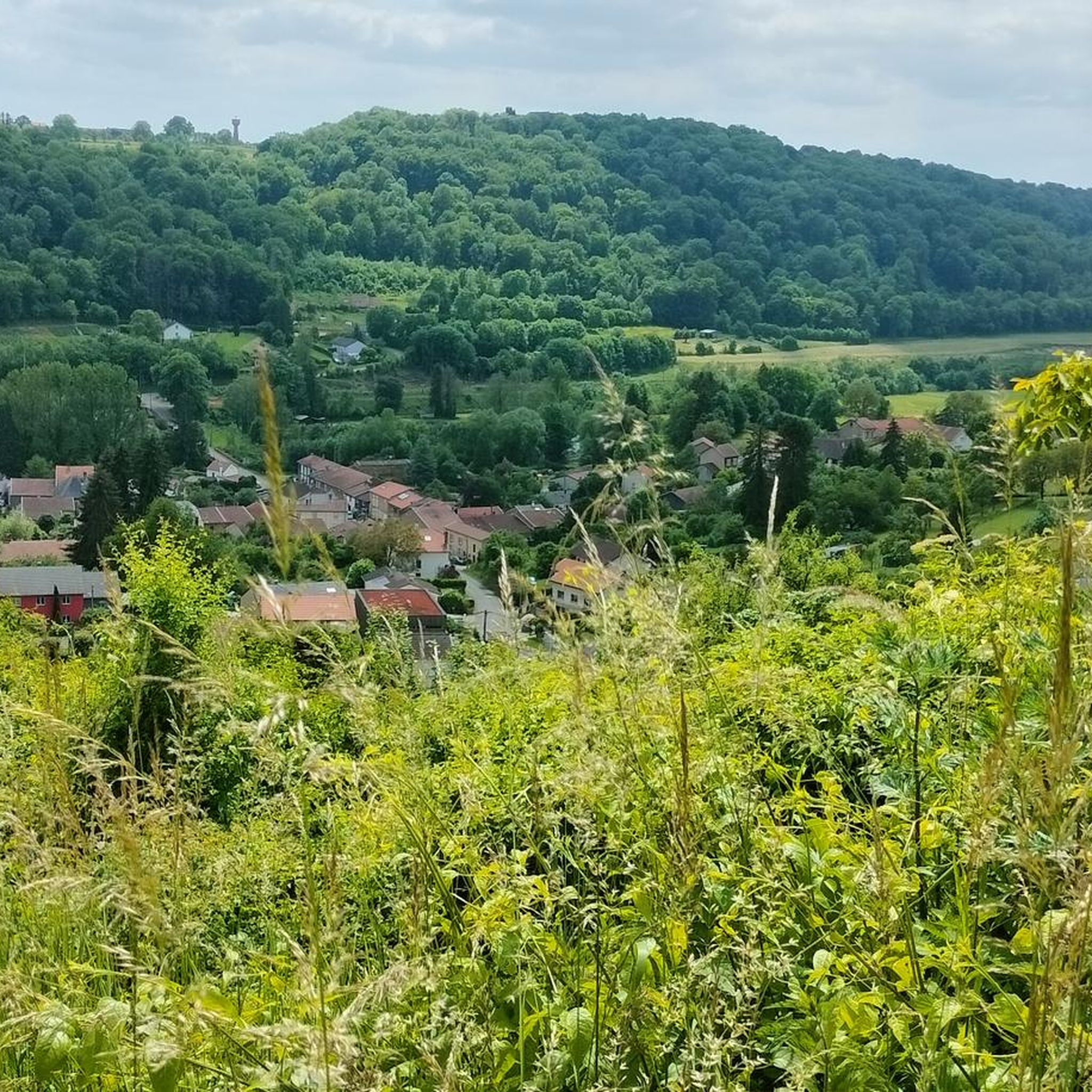
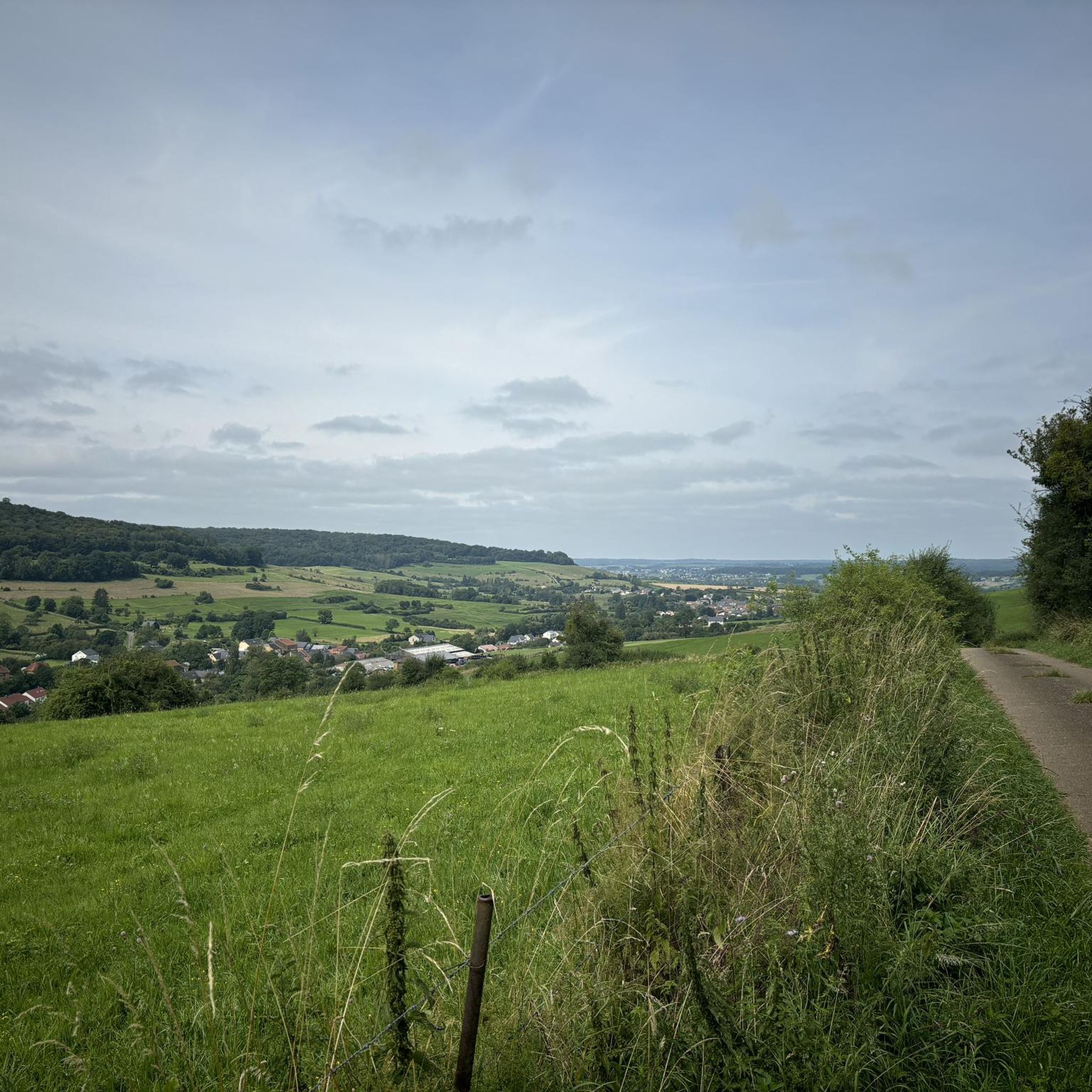
Gravel biking around Montigny-Sur-Chiers offers varied terrain, characterized by wooded hills and distinctive red sandstones of the "Minette" region. The landscape features an undulating profile, with elevations ranging between 216m and 373m, providing a dynamic cycling experience. Riders can expect a mix of forests and open countryside, often combining paved country roads with quieter paths. This region is well-suited for gravel biking due to its diverse scenery and natural features.
Best gravel bike trails around Montigny-Sur-Chiers
- The most popular gravel…
Last updated: July 16, 2026
5.0
(1)
12
riders
55.9km
03:33
640m
640m
Hard gravel ride. Very good fitness required. Mostly paved surfaces. Suitable for all skill levels.
13
riders
81.6km
05:42
1,280m
1,280m
Hard gravel ride. Very good fitness required. Mostly paved surfaces. Suitable for all skill levels.

Sign up for free
7
riders
47.0km
02:59
410m
410m
Moderate gravel ride. Good fitness required. Mostly paved surfaces. Suitable for all skill levels.
2
riders
33.7km
01:58
300m
310m
Moderate gravel ride. Good fitness required. Mostly paved surfaces. Suitable for all skill levels.
4
riders
20.7km
01:27
210m
210m
Hard gravel ride. Good fitness required. You may need to push your bike for some segments of this route.
Get access to more routes and recommendations from other explorers.
Sign up for free
Already have an account?
Our route recommendations are based on thousands of hikes, rides, and runs completed by other people on komoot.
Start today with a free account
Your next adventure awaits.
Login or Signup

Tips from the Community

Super, small viewpoint above the river
0
0

Pumptrack de Saulnes by BikeSolutions.fr https://www.ourouler.com/pumptrack-saulnes
0
0

A place of remembrance for the barbarity of war
0
0
Chapel near the summit of Kirchberg
0
0

A truly peaceful place to unwind. Also suitable as a picnic spot.
0
0
Nice park to start a walk in peace
1
0

The Ton is a river, running for 31.7 km, in southern Belgium and northeastern France, a right-bank tributary of the Chiers, part of the Meuse watershed. It rises in Châtillon, crosses Gaume (Virton region), in the south of the province of Luxembourg, and flows into the Chiers shortly after Écouviez on the Franco-Belgian border.
2
0
At this site, fed by two tributary streams of the Ton, ironworks are believed to have been carried out as early as the 15th century. Column furnaces (internationally renowned and still highly sought after today), chimney backs, and pumps were manufactured here. On some roads in the region and in the surrounding villages, you can still see sewer inspection chamber signs bearing the inscription "Ateliers et fonderie Dominicy Châtillon" (Dominicy Châtillon Workshops and Foundry). These establishments later specialized in the manufacture of agricultural machinery. The factory enjoyed great prosperity during the interwar period. But in 1966, it was forced to close its doors permanently.
1
0
Frequently Asked Questions
What kind of terrain can I expect on gravel bike trails around Montigny-sur-Chiers?
The region is characterized by varied terrain, including wooded hills and distinctive red sandstone formations typical of the "Minette" region. You'll encounter an undulating profile with elevations ranging between 216m and 373m, offering a dynamic cycling experience. Routes often combine paved country roads with quieter paths, traversing a mix of forests and open countryside.
Are there any family-friendly gravel bike routes in the Montigny-sur-Chiers area?
While many routes in the area are rated moderate to difficult, the region offers diverse landscapes that can be enjoyed by families. For a moderate option, consider the Old Buzenol Railway Station – Fairies' Cave loop from Grandcourt, which is 47.1 km long and navigates through varied landscapes, including wooded terrain. Always check the route details for specific difficulty and elevation to ensure it suits your family's skill level.
What are some longer gravel cycling routes available near Montigny-sur-Chiers?
For those seeking longer rides, the Attert Cycle Path (PC 12) – Attert Cycle Path loop from Halanzy is a challenging option spanning 69.5 km with significant elevation gain. Another substantial route is the Bridge Over the Messancy – Scenic Concrete Cycle Path loop from Halanzy, which covers 55.8 km and is also rated as difficult.
Are there any challenging gravel routes for experienced riders?
Yes, Montigny-sur-Chiers offers several challenging routes. The Bridge Over the Messancy – Scenic Concrete Cycle Path loop from Halanzy is a difficult 55.8 km trail with significant elevation changes. Another demanding option is the Attert Cycle Path (PC 12) – Attert Cycle Path loop from Halanzy, which is 69.5 km long and also rated difficult.
What historical or natural attractions can I see along the gravel bike trails?
The region is rich in historical and natural points of interest. You might encounter sites like the historic Cons-la-Grandville Castle, which dates back to the 11th century, or the Longuyon Totem. The Halanzy Iron Mine Ruins also offer a glimpse into local history. The natural landscape itself, with its wooded hills and red sandstone, is a significant attraction.
Are there any circular gravel bike routes in the Montigny-sur-Chiers area?
Many of the gravel bike routes in the area are designed as loops, allowing you to start and end at the same point. Examples include the Bridge Over the Messancy – Scenic Concrete Cycle Path loop from Halanzy, the Old Buzenol Railway Station – Fairies' Cave loop from Grandcourt, and the Longwy Thermal Baths – Kabaischen La Sauvage loop from Réhon.
What do other gravel bikers enjoy about Montigny-sur-Chiers?
The area is highly rated by the komoot community, with an average score of 5.0 stars. Riders often praise the diverse scenery, which includes a mix of forests and open countryside, and the dynamic cycling experience provided by the undulating terrain. The combination of quiet paths and country roads also contributes to a tranquil and immersive ride.
How many gravel bike trails are available around Montigny-sur-Chiers?
There are 11 gravel bike trails available around Montigny-sur-Chiers on komoot, offering a range of options for different skill levels. These include 4 moderate and 7 difficult routes.
Are there any easy gravel bike trails for beginners?
While many routes are rated moderate to difficult, the Longwy Thermal Baths – Kabaischen La Sauvage loop from Réhon is a moderate 33.8 km trail that leads through local countryside and can be completed in about 2 hours 27 minutes. It's a good option for those looking for a less strenuous ride compared to the difficult routes.
What is the best season for gravel biking in Montigny-sur-Chiers?
The region's varied terrain, with its mix of forests and open countryside, makes it enjoyable across multiple seasons. Spring and autumn generally offer pleasant temperatures and beautiful foliage. Summer can also be good, especially on routes with shaded forest sections. Always check local weather conditions before heading out.
Are there any specific viewpoints or scenic spots along the gravel routes?
The undulating terrain and mix of forests and open countryside naturally provide numerous scenic spots. The distinctive red sandstone formations of the "Minette" region offer unique visual elements. Routes like the Wind turbine loop from Lexy might offer expansive views of the surrounding landscape. Exploring the trails will reveal many picturesque moments.
Is there public transport or parking available near the gravel bike trails?
While specific public transport links directly to trailheads are not detailed, many routes start from villages or towns like Halanzy, Grandcourt, or Réhon, which may offer local parking facilities. It's advisable to check local parking options in these starting points before your ride.
Most popular routes around Montigny-Sur-Chiers
Most popular attractions around Montigny-Sur-Chiers

Get inspired with the komoot mobile app


Explore more
Browse the best Gravel rides in other regions.
