Châteauneuf-Villevieille
Châteauneuf-Villevieille
The best gravel rides around Châteauneuf-Villevieille
4.5
(82)
790
riders
42
rides
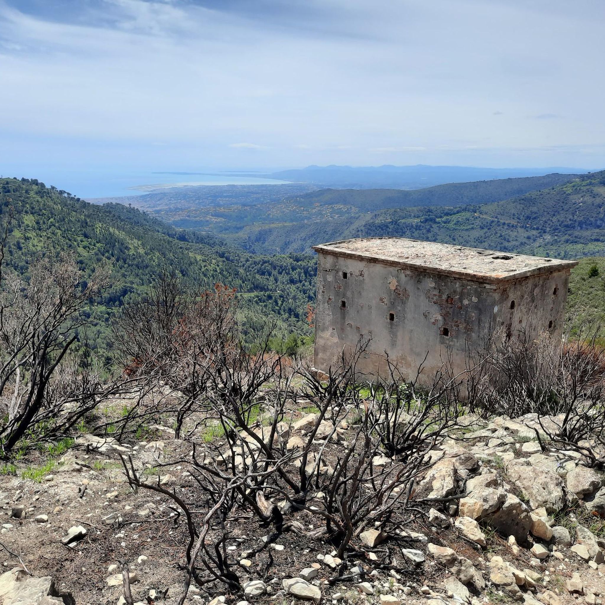
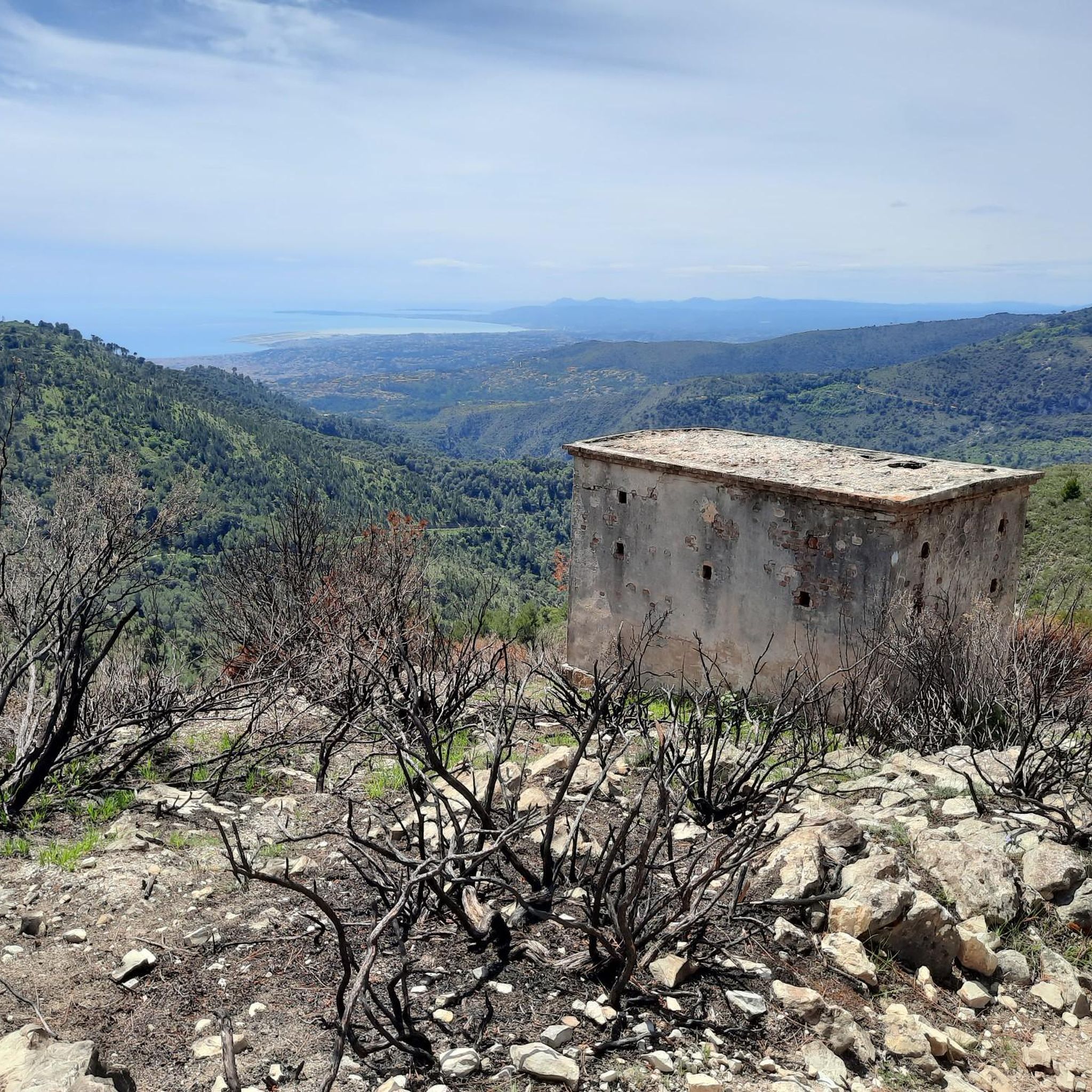
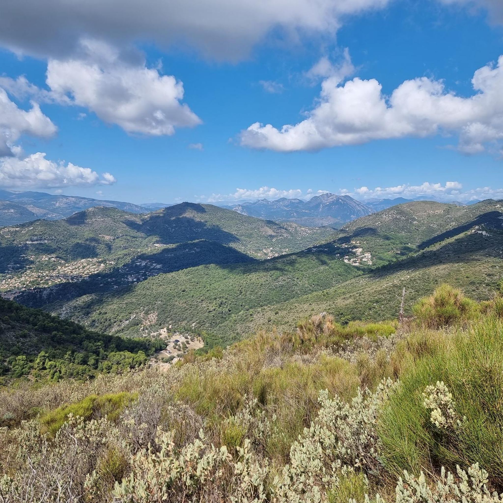
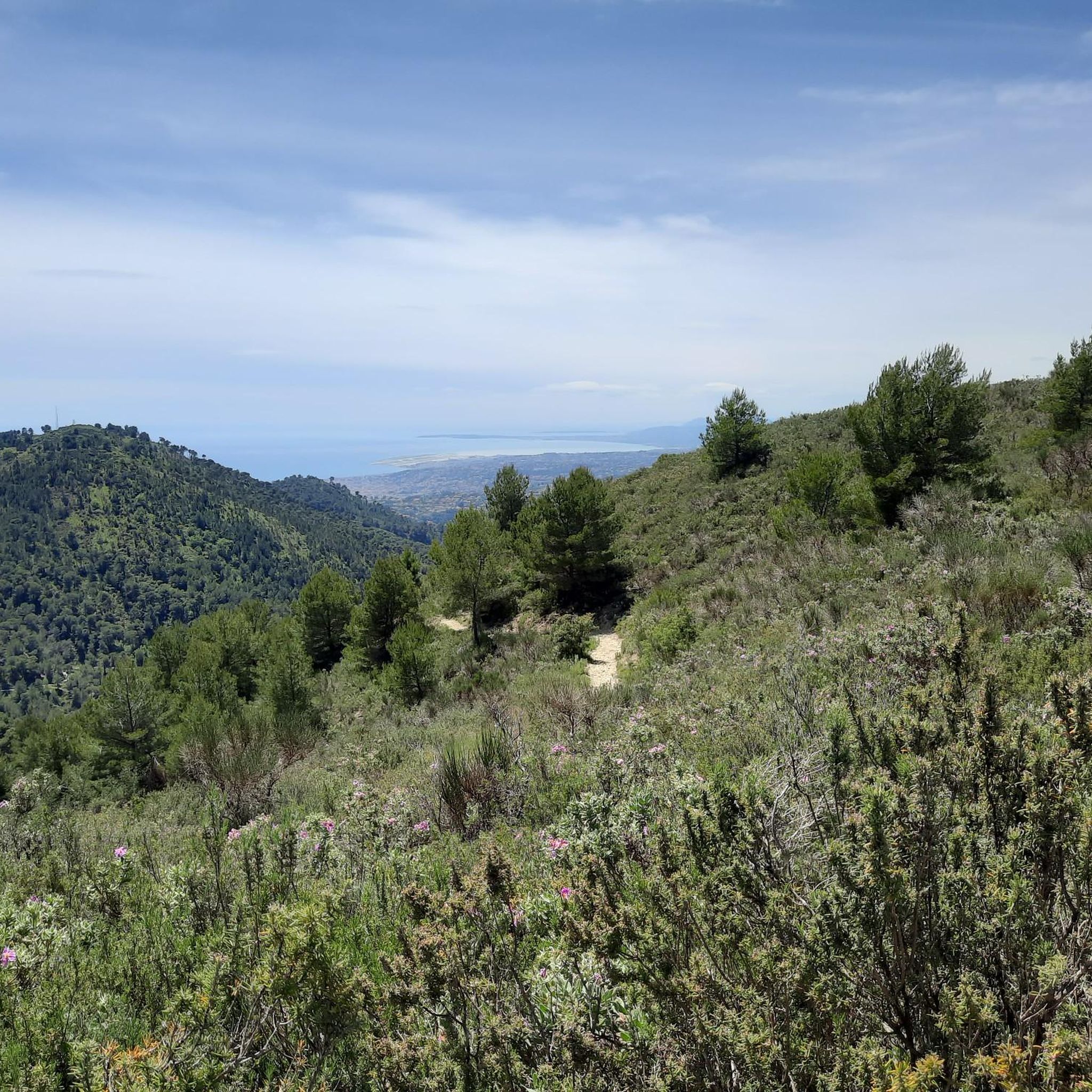
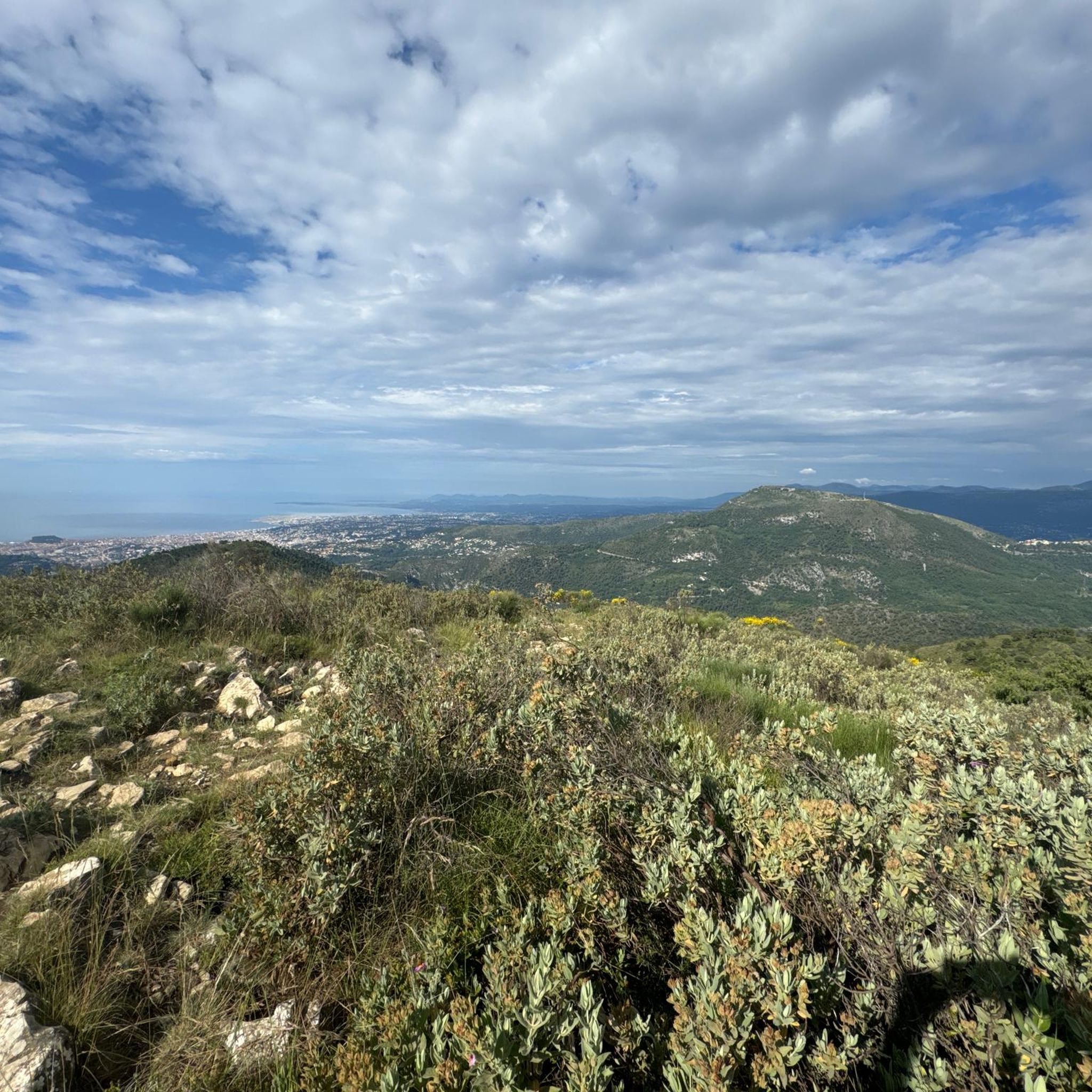
Gravel biking around Châteauneuf-Villevieille offers a network of routes characterized by significant elevation changes and varied terrain. The region features mountainous landscapes, including passes and hills, with dense forests, rugged terrain, and picturesque olive and cypress groves. Trails often traverse through areas with natural viewpoints, providing panoramic vistas of the Côte d'Azur and the Mediterranean Sea. This area is part of the Pre-Alps mountains, offering challenging ascents and descents.
Best gravel bike trails around Châteauneuf-Villevieille
- The most popular gravel bike…
Last updated: July 3, 2026
4.6
(8)
53
riders
44.6km
03:31
1,100m
1,100m
Hard gravel ride. Very good fitness required. Mostly paved surfaces. Suitable for all skill levels.
5.0
(2)
42
riders
55.4km
04:43
1,540m
1,540m
Hard gravel ride. Very good fitness required. Mostly paved surfaces. Suitable for all skill levels.

Sign up for free
18
riders
73.9km
05:25
1,610m
1,610m
Hard gravel ride. Very good fitness required. Mostly paved surfaces. Suitable for all skill levels.
4.0
(3)
20
riders
55.0km
04:43
1,630m
1,630m
Hard gravel ride. Very good fitness required. Mostly paved surfaces. Suitable for all skill levels.
5.0
(1)
16
riders
48.1km
04:20
1,400m
1,400m
Hard gravel ride. Very good fitness required. Mostly paved surfaces. Suitable for all skill levels.
Get access to more routes and recommendations from other explorers.
Sign up for free
Already have an account?
Our route recommendations are based on thousands of hikes, rides, and runs completed by other people on komoot.
Start today with a free account
Your next adventure awaits.
Login or Signup
Tips from the Community

Because it is located at an altitude of 630 metres, equidistant from Nice and Monaco, Peille can be seen from the summit of La Madone. Its chapels, converted into a town hall or a bakery, set the tone: the medieval heritage is still inhabited. Léo Ferré liked to stay there and dedicated a song to it.
0
0

I did it via Coaraze. Magnificent scenery and a beautiful view of the event and its surrounding area from the top of Ferion. A moderately easy hike. The elevation changes from 500 meters to 1400 meters.
0
0

The Col d'Èze, located between Nice and Monaco, near La Turbie in the Alpes-Maritimes department, peaks at 507 m. Located less than 5 km from the coast, it offers a remarkable panorama of the Côte d'Azur: Cap Ferrat to the west, and Italy to the east. It is part of the Route des Grandes Alpes route. Despite its modest altitude, it is important to remember that the climbs all start at sea level and that the elevation gain is therefore quite significant at nearly 500 m. There are many options for accessing the Col d'Èze...
1
1
The Col d'Èze, located between Nice and Monaco, near La Turbie in the Alpes-Maritimes department, peaks at 507 m. Located less than 5 km from the coast, it offers a remarkable panorama of the Côte d'Azur: Cap Ferrat to the west, and Italy to the east. It is part of the Route des Grandes Alpes route. Despite its modest altitude, it is important to remember that the climbs all start at sea level and that the elevation gain is therefore quite significant at nearly 500 m. There are many options for accessing the Col d'Èze...
0
0


The Col d'Eze is located on the D2564, above the town of Eze-Bord de Mer on the Mediterranean coast. The southwest ramp, in particular, offers magnificent views of the coastline and is definitely preferable to the busier D6007 coastal road.
0
0
Frequently Asked Questions
What is the general difficulty level of gravel biking trails around Châteauneuf-Villevieille?
The gravel biking trails around Châteauneuf-Villevieille are predominantly challenging, with 50 out of 54 routes rated as difficult. They feature significant elevation changes and mountainous terrain, catering primarily to experienced gravel bikers.
Are there any beginner-friendly gravel bike routes in Châteauneuf-Villevieille?
While the majority of routes are rated as difficult, there are a few moderate options available. However, there are no easy gravel bike trails listed, indicating that the region is better suited for riders with some experience.
What kind of terrain can I expect on the gravel bike trails in this region?
You can expect a varied and challenging terrain, including mountainous landscapes, passes, and hills. The routes are characterized by consistent climbing and descending, offering a true test for gravel bikers.
How long do the gravel bike trails typically take to complete?
The duration of the trails varies depending on their length and elevation. For example, the Braus Pass – Route de Sainte-Agnès loop from La Trinité is a 47.1-mile (75.8 km) route that typically takes around 6 hours and 47 minutes. Shorter routes, like the Mount Cima, Aspremont – Châteauneuf Pass loop from Aspremont (27.0 miles / 43.5 km), can be completed in about 4 hours and 45 minutes.
Are there any circular gravel bike routes available?
Yes, many of the gravel bike routes in the area are designed as loops. Examples include the challenging Braus Pass – Braus Pass loop from L´Escarene, which covers 18.4 miles (29.7 km) with significant elevation gain, and the Mount Cima, Aspremont – Tourrette-Levens Village loop from Aspremont.
What are some notable viewpoints or attractions along the gravel bike routes?
The region offers numerous natural viewpoints and historical sites. You might encounter highlights such as Castle Hill, offering panoramic views, or the View of Nice from Castle Hill. Historical structures like Fort du Mont Alban are also accessible.
Are there any waterfalls or natural monuments to see while gravel biking?
Yes, the area features natural attractions like the Castle Waterfall. You can also explore the Vinaigrier Departmental Natural Park, which offers a forested environment.
What do other gravel bikers say about the trails in Châteauneuf-Villevieille?
The routes in Châteauneuf-Villevieille are highly rated by the komoot community, with an average score of 4.5 stars from over 60 reviews. Riders often praise the challenging mountain passes, significant elevation changes, and the panoramic viewpoints encountered along the way.
What is the best time of year for gravel biking in Châteauneuf-Villevieille?
Given the mountainous terrain and potential for varied weather, spring and autumn generally offer the most pleasant conditions for gravel biking, with milder temperatures. Summers can be hot, and winters, while often mild, may present cooler temperatures at higher elevations.
Are there any routes that pass through villages or offer opportunities for refreshments?
While specific cafe locations aren't detailed for every route, trails like the Mount Cima, Aspremont – Tourrette-Levens Village loop from Aspremont pass through or near villages, which typically offer opportunities for refreshments and breaks.
How many gravel bike trails are available in the Châteauneuf-Villevieille area?
There are over 50 gravel bike trails available around Châteauneuf-Villevieille, offering extensive riding opportunities for those seeking challenging routes with significant elevation.
Most popular routes around Châteauneuf-Villevieille
Most popular attractions around Châteauneuf-Villevieille

Get inspired with the komoot mobile app


Explore more
Browse the best Gravel rides in other regions.
